Elevation of Winfrey Valley Rd, Winslow, AR, USA
Location: United States > Arkansas > Washington County > Winslow Township > Winslow >
Longitude: -94.042627
Latitude: 35.7896833
Elevation: 460m / 1509feet
Barometric Pressure: 96KPa
Elevation Map:
Satellite Map:
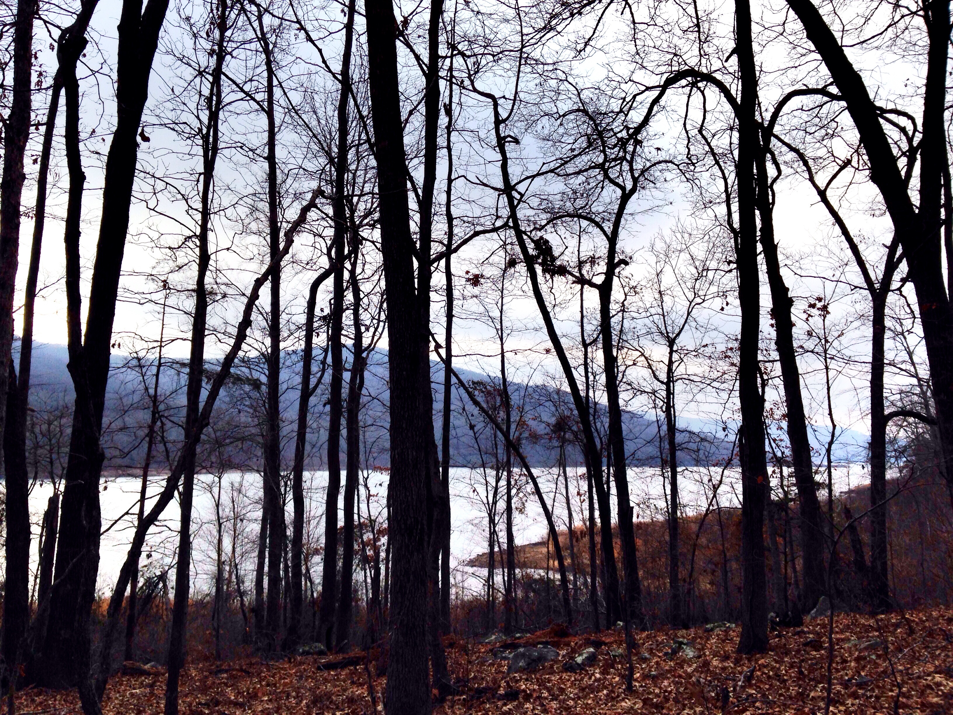
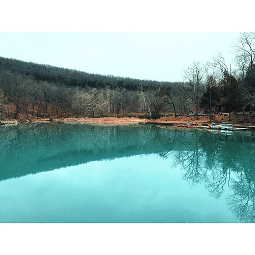
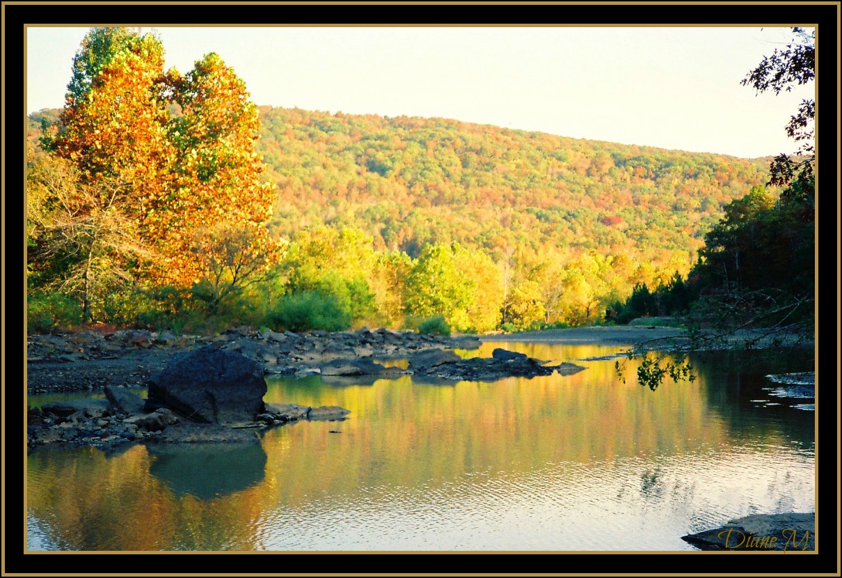
Related Photos:

white rock, cloud colors
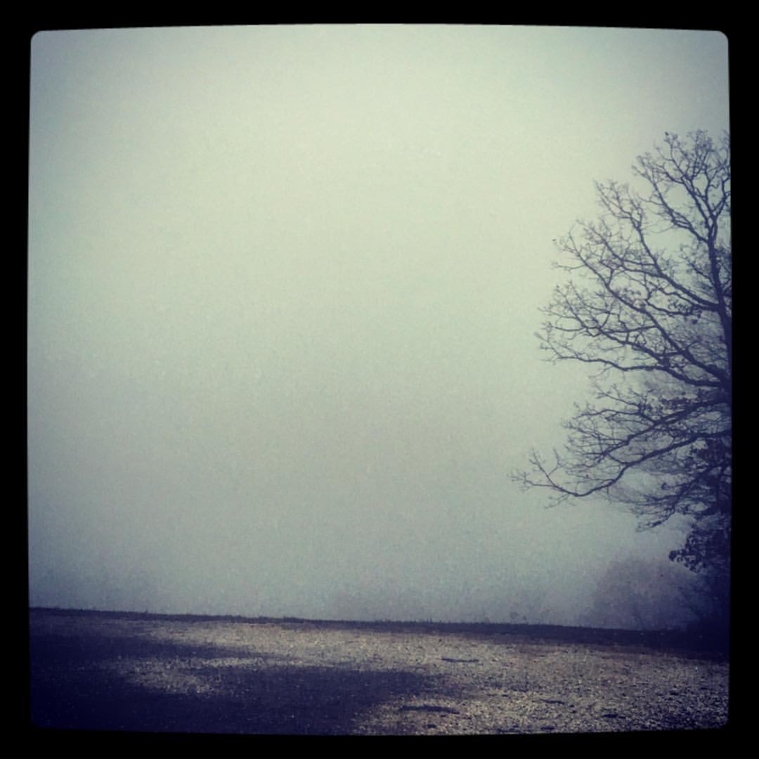
took the scenic route from Fayetteville to Ft. Smith so I could stop and take in my favorite view -- I got this fog and a scary drive instead. ????
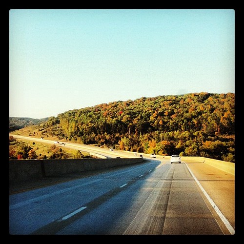
Almost home... My jammies are calling. #triptophilly
"It's gonna get a little smokey..."
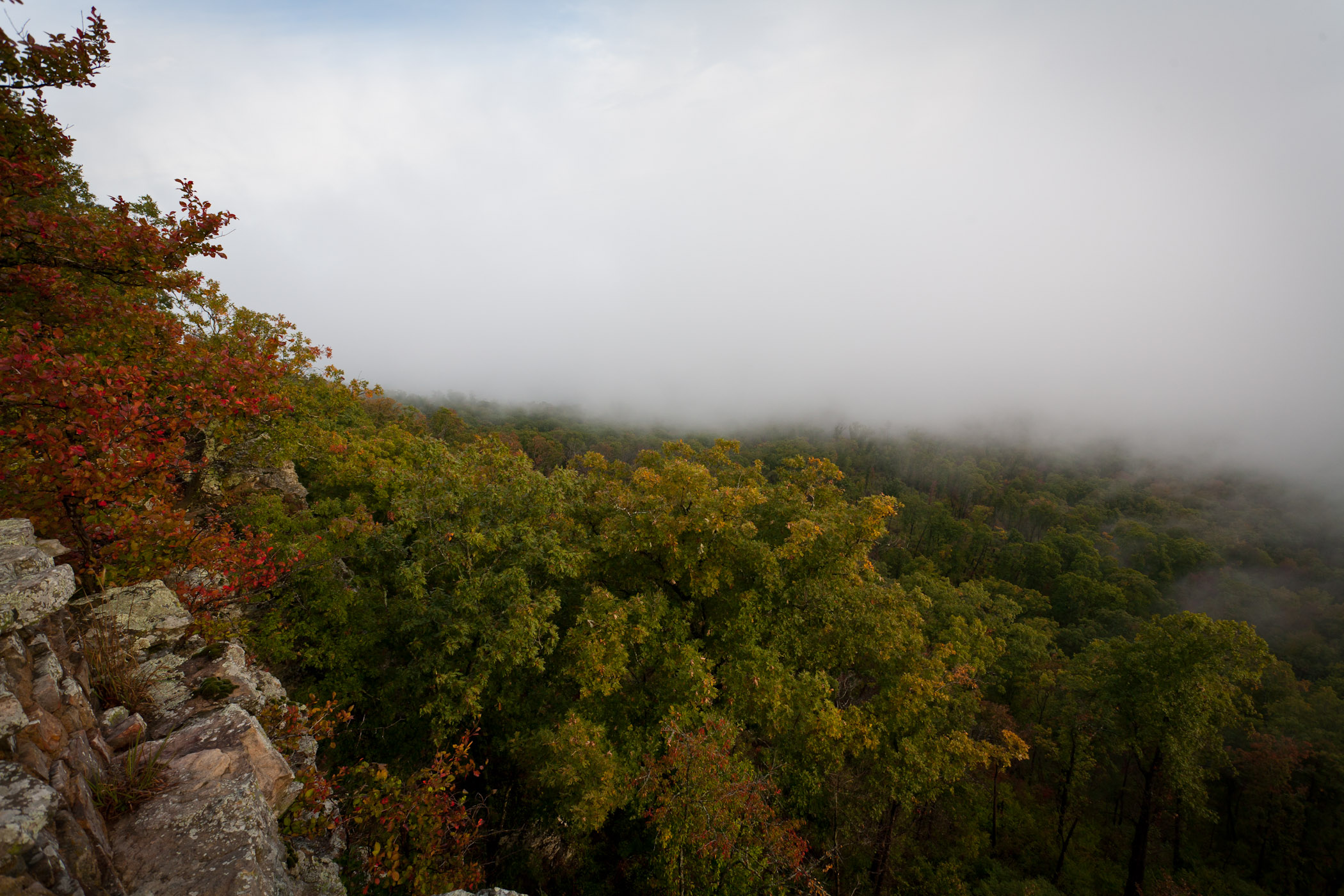
Foggy View from White Rock

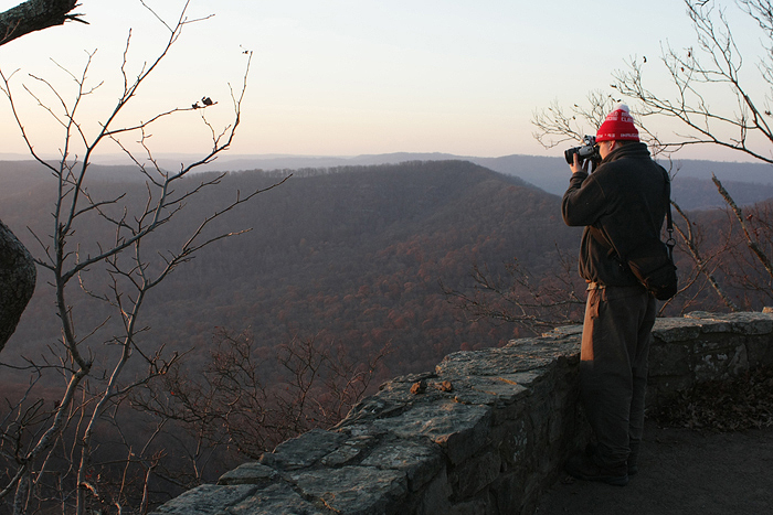
White Rock Mountain - Day 2 - Sunset

White Rock Mountain - Day 2 - Sunset

White Rock Mountain - Day 2 - Sunset Abstract

White Rock Mountain - Day 2 - Sunset Abstract

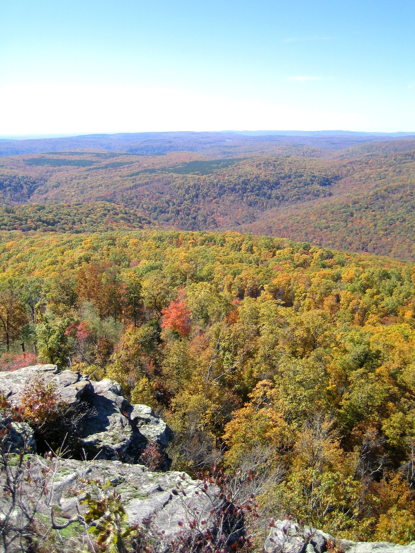
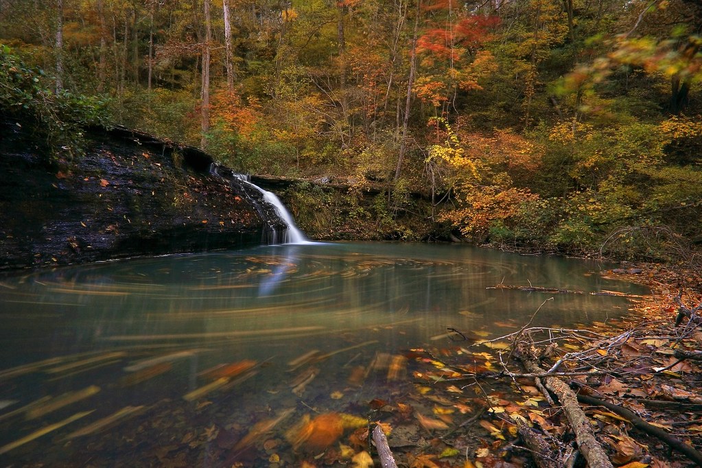
White Rock Mountain - Day 2 - Autumn Colors
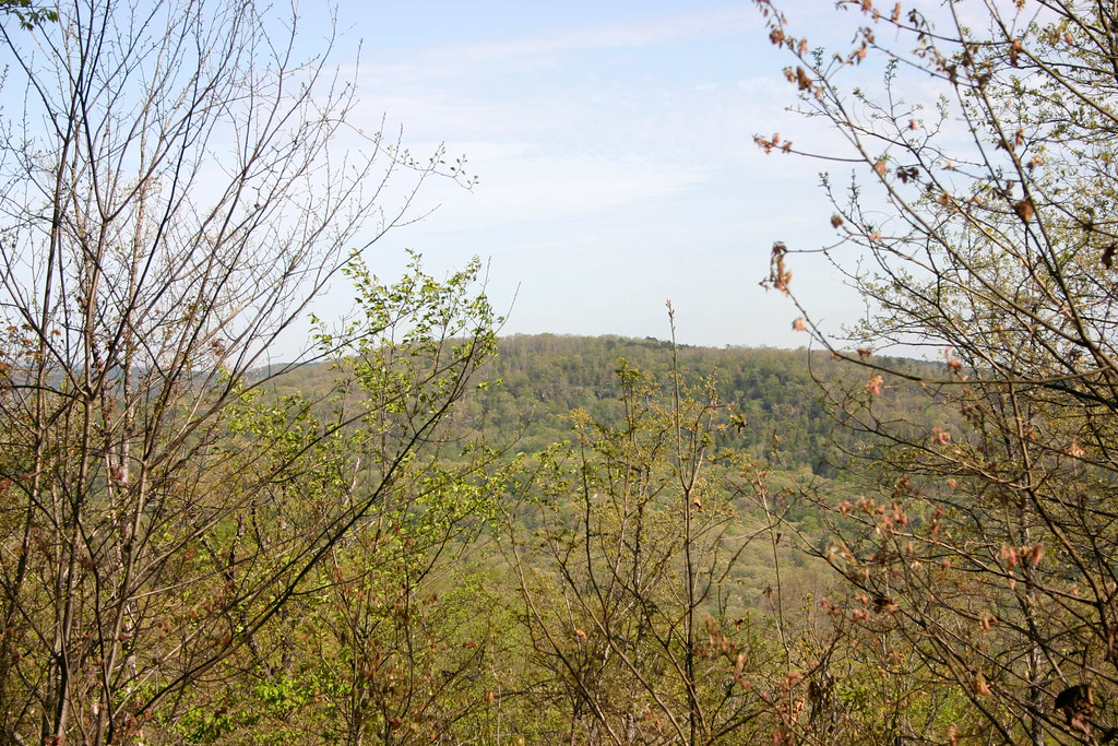
White Rock Mountain - Day 3 - Descent

White Rock Mountain - Day 2 - White Rock
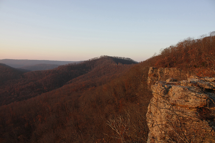
White Rock Mountain Sunset Shelter View North
White Rock Mountain - Day 2 - Sunset
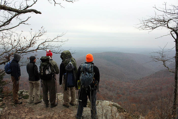
White Rock Mountain - Day 2 - Jonas
White Rock Mountain Sunset Shelter View West
View from outside the Devils Den looking into valley.
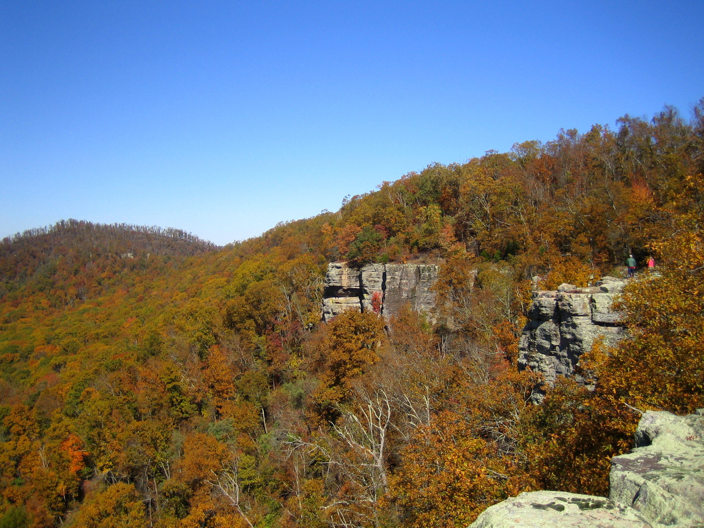
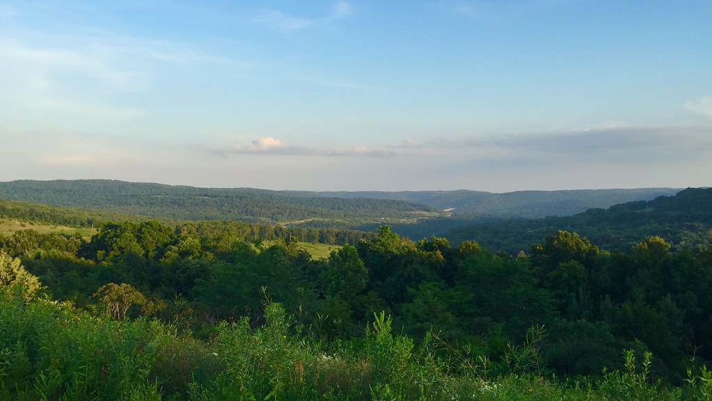
White Rock Senic View
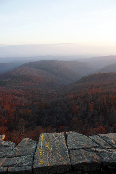
White Rock Mountain - Day 2 - Shores Lake Overlook
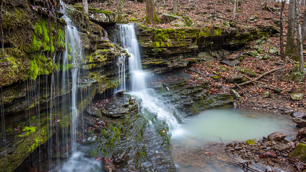
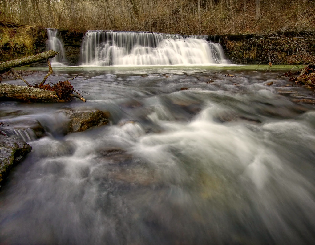
Lower unnamed falls #1 of Winfrey Valley
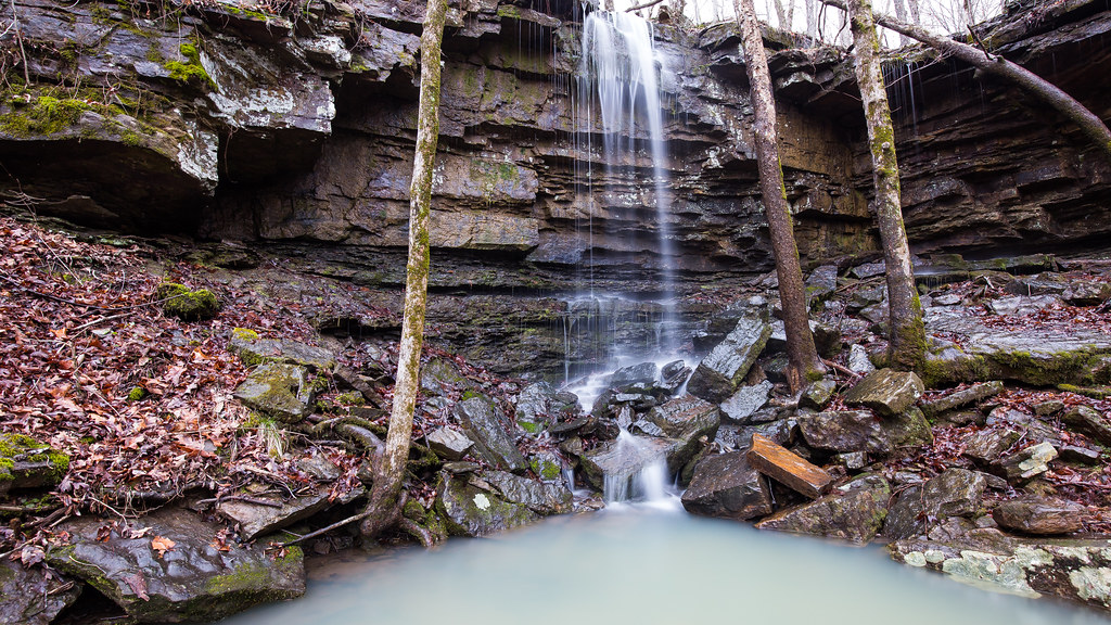
Upper unnamed falls #1 of Winfrey Valley
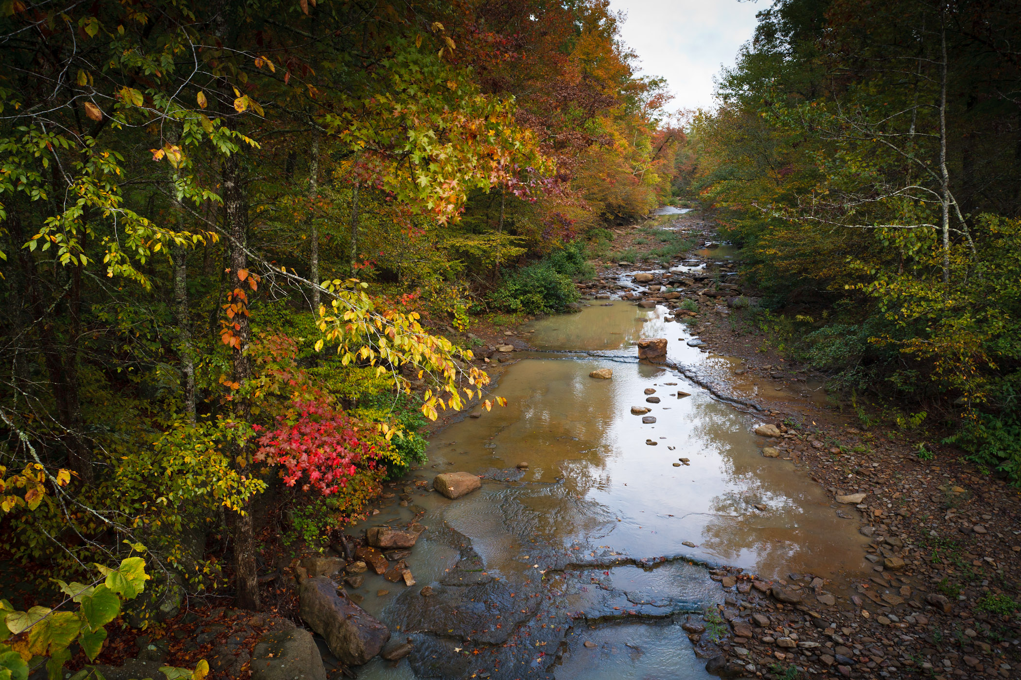
Hurricane Creek
Artist Point Falls
Lake Fort Smith State Park
????????????
OZARK MOUNTAINS

White Rock Mountain SIA
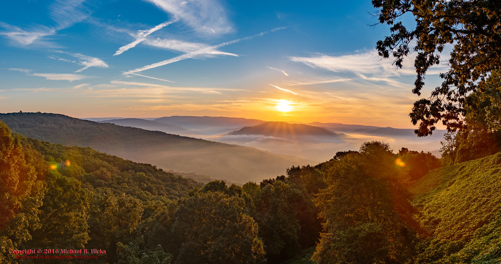
Sunrise at Artist Point on the Boston Mountains Scenic Highway
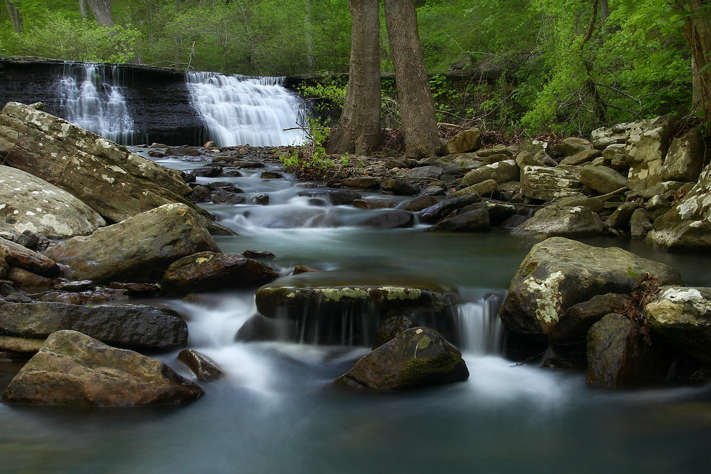
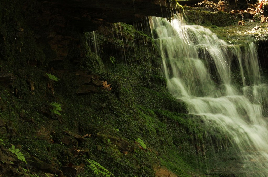
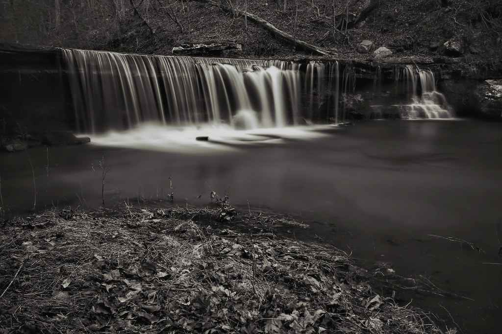
White Rock Creek Cascade
White Rock Creek Cascade
White Rock Creek Cascade
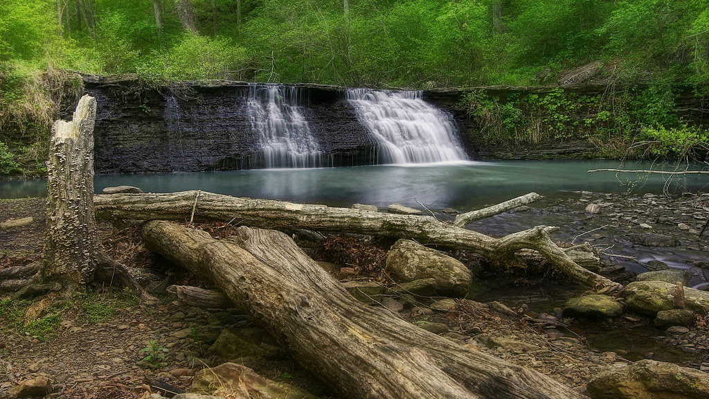
Low flow at White Rock Creek Cascade
Ozark waterfall
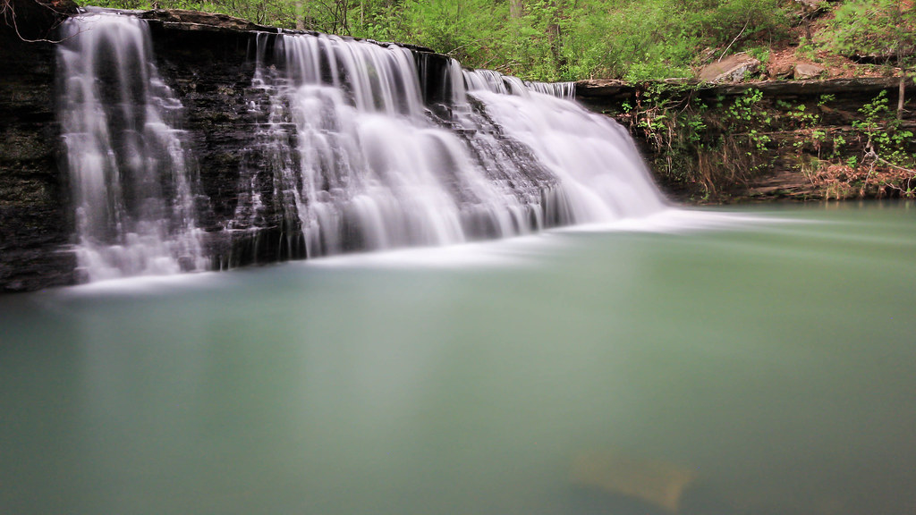
Green waters of the Ozarks
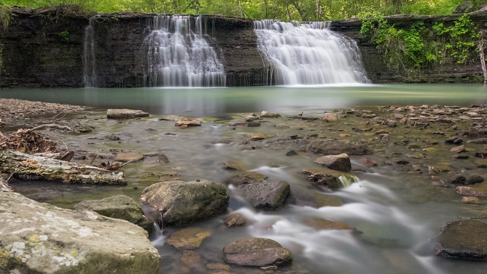
White Rock Creek Cascade
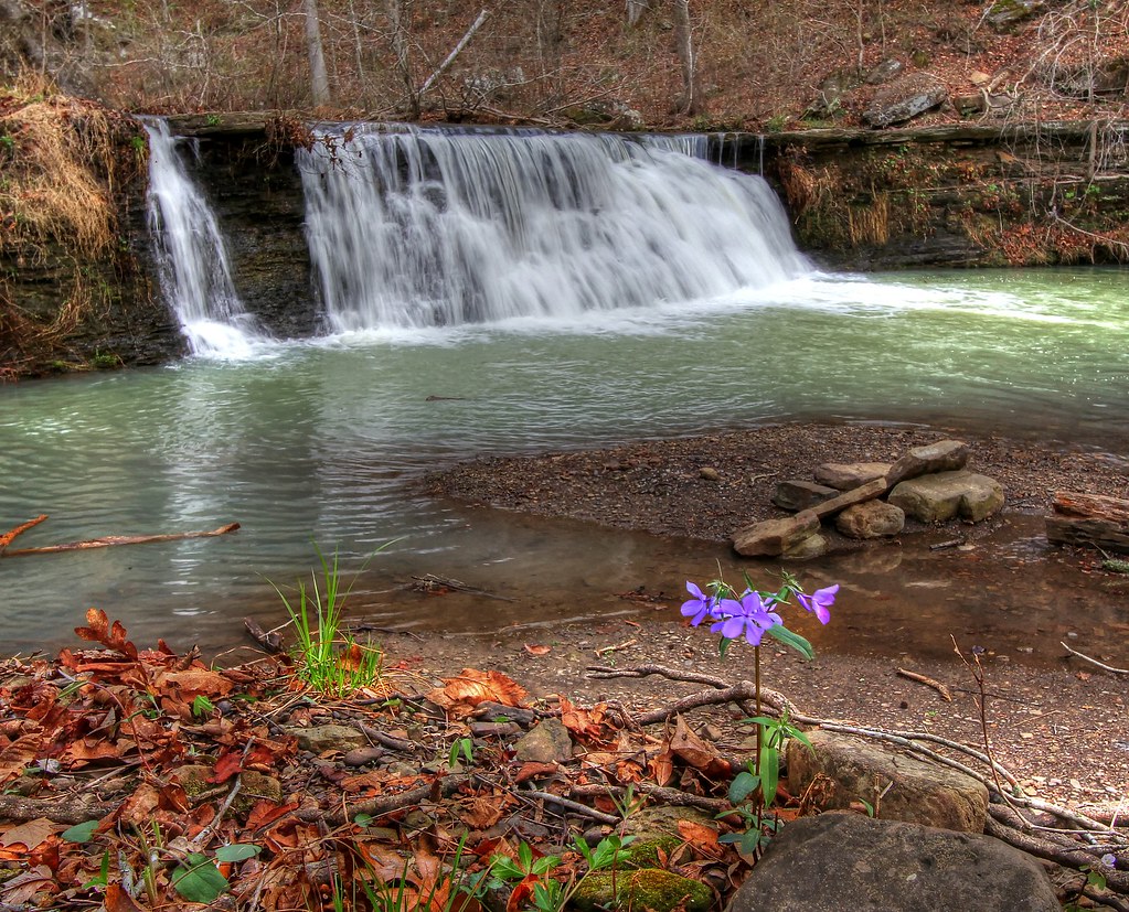
White Rock Creek Cascade

White Rock Cascade in HDR B&W
Topographic Map of Winfrey Valley Rd, Winslow, AR, USA
Find elevation by address:

Places near Winfrey Valley Rd, Winslow, AR, USA:
18847 Hazel Valley Rd
15678 Koyle Cemetery Rd
22723 Winfrey Valley Rd
Winslow Township
Bidville Road
16710 Ar-74
Bidville Rd, Winslow, AR, USA
Winfrey Township
Bidville Rd, Winslow, AR, USA
Bidville
22406 N Hwy 71
22406 N Hwy 71
22406 N Hwy 71
22406 N Hwy 71
22406 N Hwy 71
22406 N Hwy 71
Bear Hollow Road
Mount Gaylor
Reed Township
21908 Mt Gaylor Point
Recent Searches:
- Elevation of Hercules Dr, Colorado Springs, CO, USA
- Elevation of Szlak pieszy czarny, Poland
- Elevation of Griffing Blvd, Biscayne Park, FL, USA
- Elevation of Kreuzburger Weg 13, Düsseldorf, Germany
- Elevation of Gateway Blvd SE, Canton, OH, USA
- Elevation of East W.T. Harris Boulevard, E W.T. Harris Blvd, Charlotte, NC, USA
- Elevation of West Sugar Creek, Charlotte, NC, USA
- Elevation of Wayland, NY, USA
- Elevation of Steadfast Ct, Daphne, AL, USA
- Elevation of Lagasgasan, X+CQH, Tiaong, Quezon, Philippines