Elevation of Rd, Delmar, DE, USA
Location: United States > Delaware > Sussex County > Delmar >
Longitude: -75.642532
Latitude: 38.4784524
Elevation: 14m / 46feet
Barometric Pressure: 101KPa
Elevation Map:
Satellite Map:
Related Photos:

Salisbury City Park
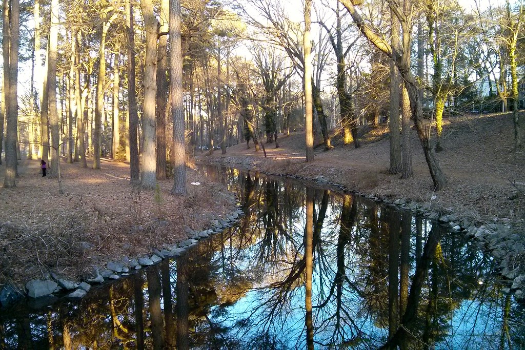
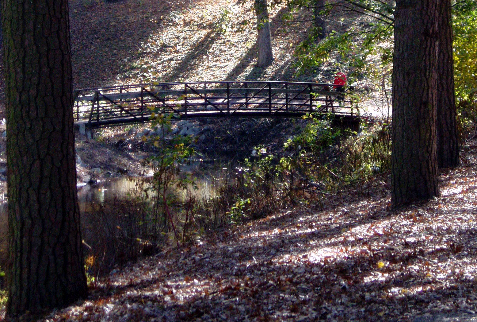
Stream view from a footbridge

Nanticoke River Wetlands
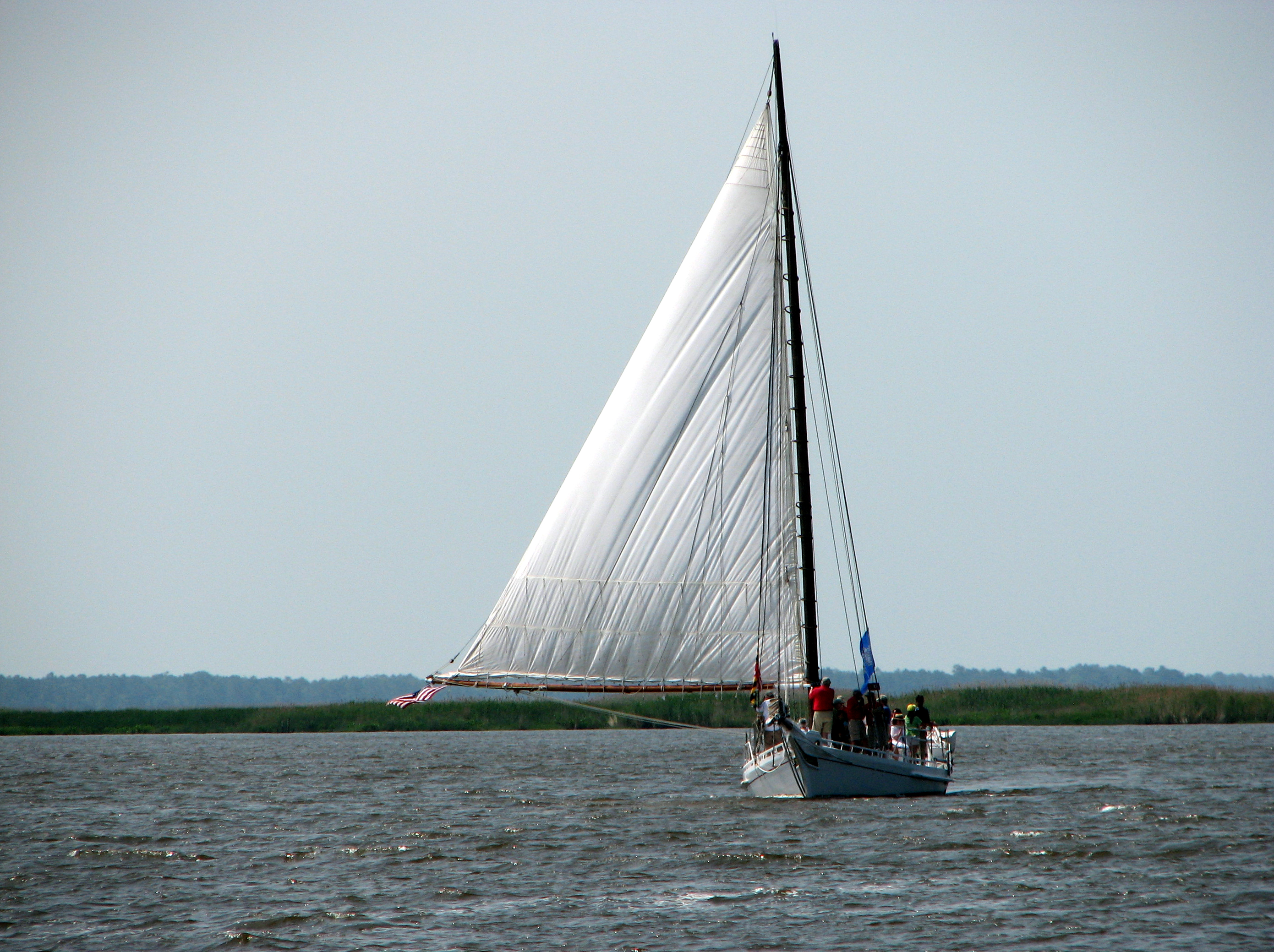
The Skipjack "Nathan of Dorchester"

Pontiac GTO (front view) "Cars of the 1960's"

Stream view from a footbridge
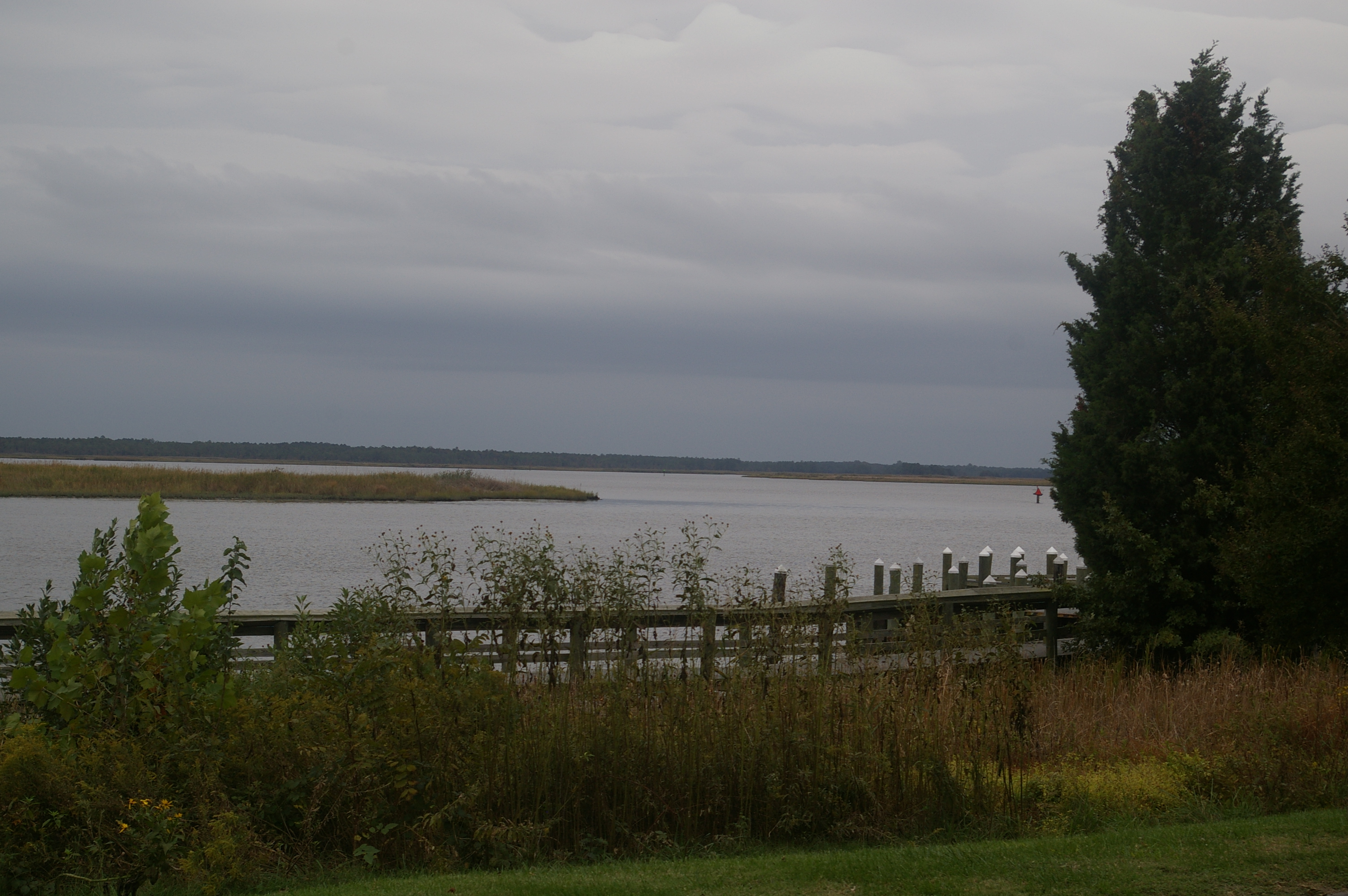
View Across the Nanticoke

Nanticoke River Wetlands

Delaware State Police Tahoe
Glory be to God for dappled things

riverside dr salisbury

Park Foliage

Park IR

Juvenile RTH

Nest Building: 101

The Path To The Infrarealm

Only God can make a tree
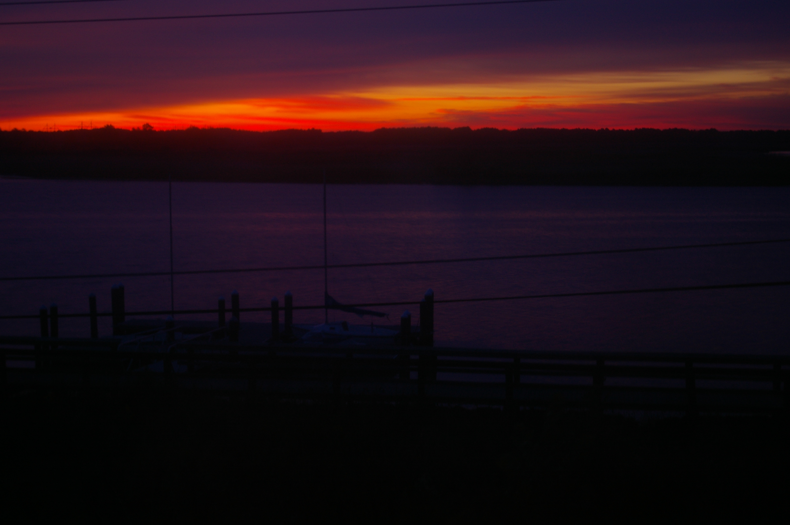
Sunrise Over the Nanticoke 1
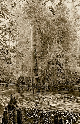
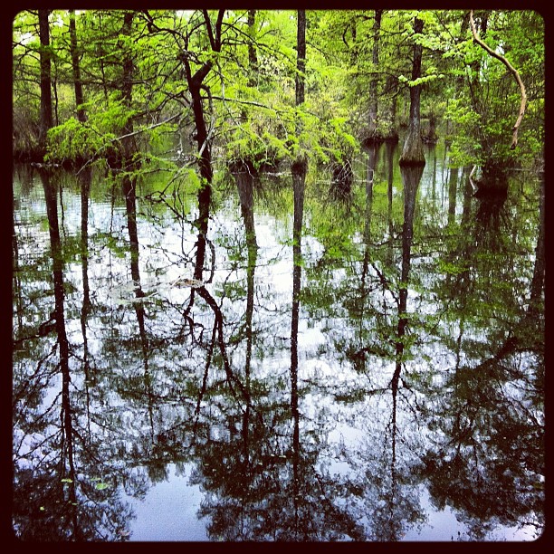
Trees of Trussum - Taken near Trussom Pond and Trap Pond State Park in Laurel, DE

Nanticoke River Wetlands
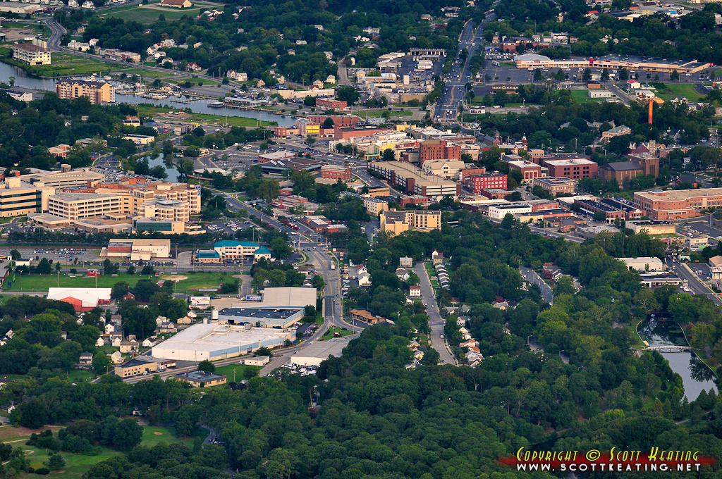
Salisbury, MD

Country Road

Home and Nature

Trap Pond State Park in Sussex County, Del.

Route 50 crosses the Nanticoke River

Misty Morning Heron
That Maple Tree
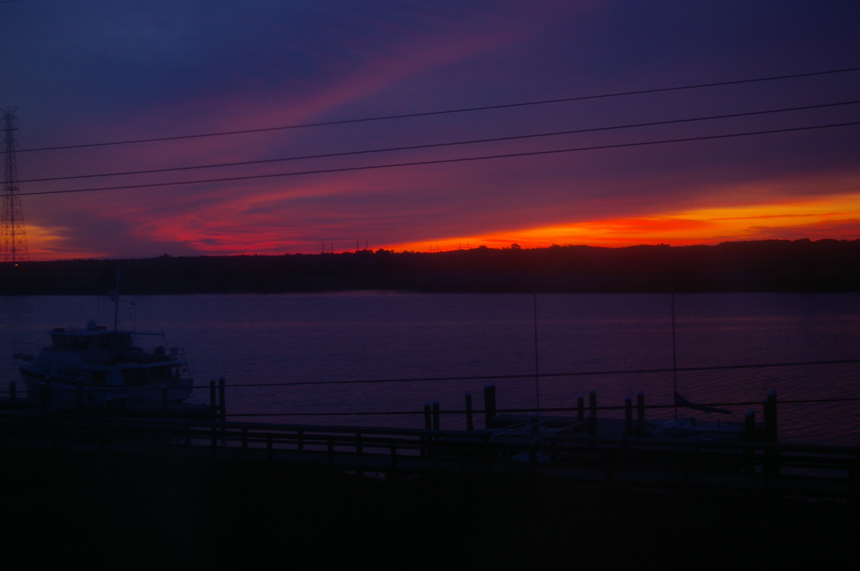
Sunrise Over the Nanticoke 2

Tonights sunset was awesome! Capturing it from a moving car on a cell hardly does it justice.

Poultry Barns in Wicomico County, Md.

Forested Land in Wicomico County, Md.
Hiking with Max today.
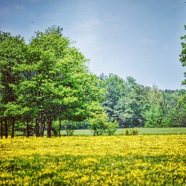
#delaware #field#spring #wildflower #yellow #laurel

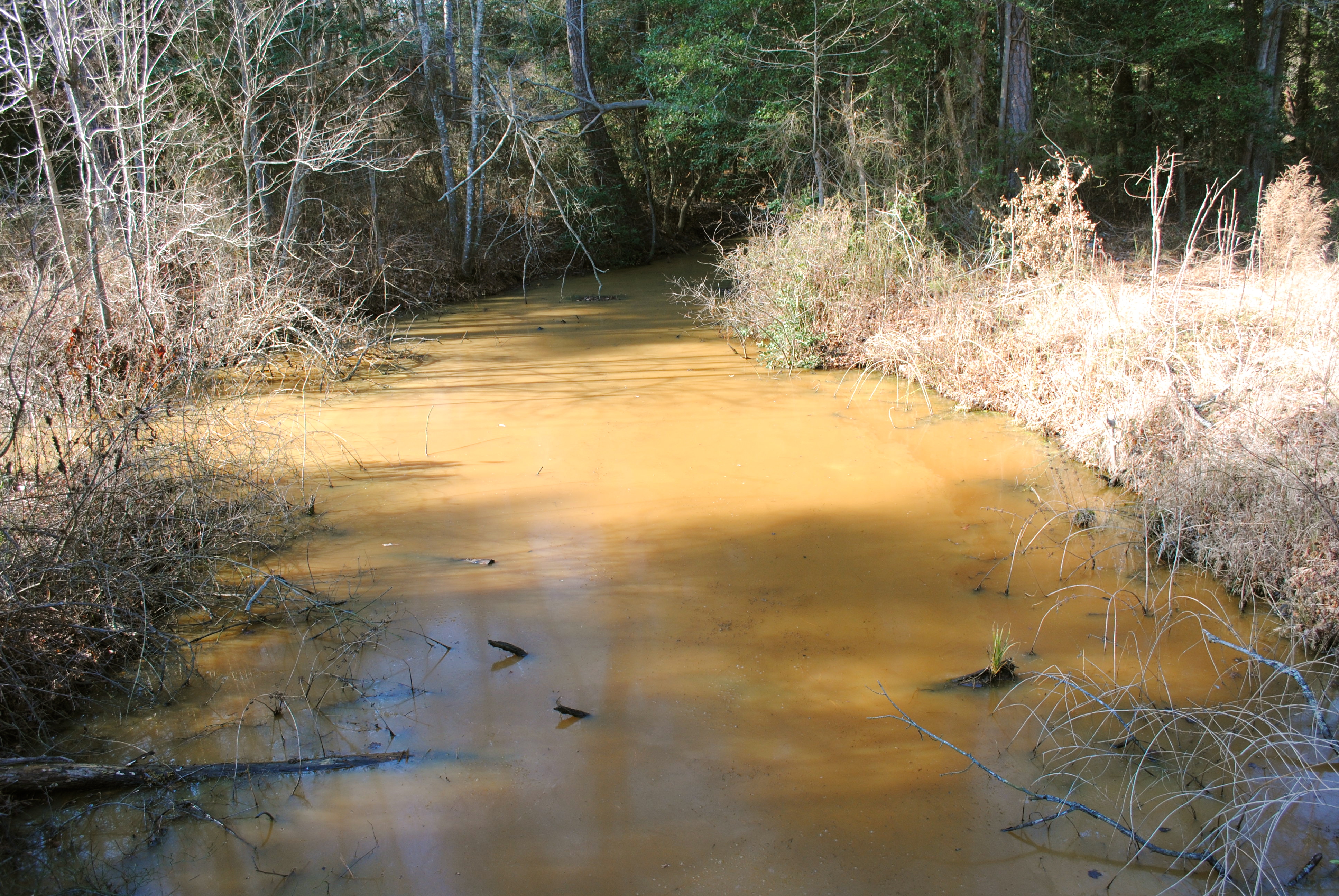
Rewastico Creek
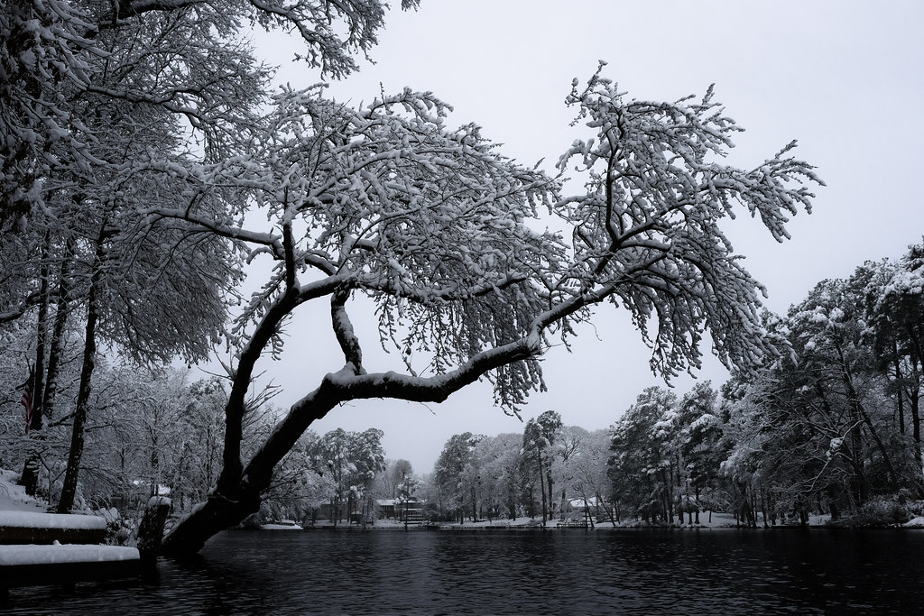
Trap Pond State Park
colorado scenery 2

Soda Can Baseball: Round 2
Topographic Map of Rd, Delmar, DE, USA
Find elevation by address:

Places near Rd, Delmar, DE, USA:
6475 Hummingbird Ln
6475 Hummingbird Ln
11, Delmar
Olde Florist Ln, Hebron, MD, USA
26286 Norfolk Dr
White Lowe Road
Downs Way, Delmar, MD, USA
10350 Norris Twilley Rd
Hebron
Delmar Road
Hebron
Naas Rd, Salisbury, MD, USA
7577 Levin Dashiell Rd
Wicomico County
Shawnee Ave, Salisbury, MD, USA
9, Salisbury
Crooked Oak Ln, Hebron, MD, USA
Handy St, Salisbury, MD, USA
6760 Fire Tower Rd
5900 Oxbridge Dr
Recent Searches:
- Elevation of Elwyn Dr, Roanoke Rapids, NC, USA
- Elevation of Congressional Dr, Stevensville, MD, USA
- Elevation of Bellview Rd, McLean, VA, USA
- Elevation of Stage Island Rd, Chatham, MA, USA
- Elevation of Shibuya Scramble Crossing, 21 Udagawacho, Shibuya City, Tokyo -, Japan
- Elevation of Jadagoniai, Kaunas District Municipality, Lithuania
- Elevation of Pagonija rock, Kranto 7-oji g. 8"N, Kaunas, Lithuania
- Elevation of Co Rd 87, Jamestown, CO, USA
- Elevation of Tenjo, Cundinamarca, Colombia
- Elevation of Côte-des-Neiges, Montreal, QC H4A 3J6, Canada