Elevation of Delmar, DE, USA
Location: United States > Delaware > Sussex County >
Longitude: -75.577147
Latitude: 38.4565052
Elevation: 16m / 52feet
Barometric Pressure: 101KPa
Elevation Map:
Satellite Map:
Related Photos:

Park Foliage

Park IR

Juvenile RTH

The Path To The Infrarealm
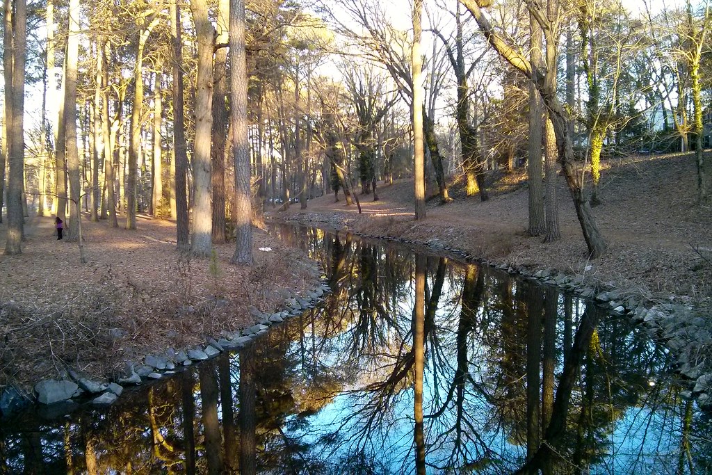
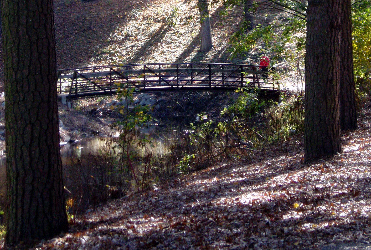
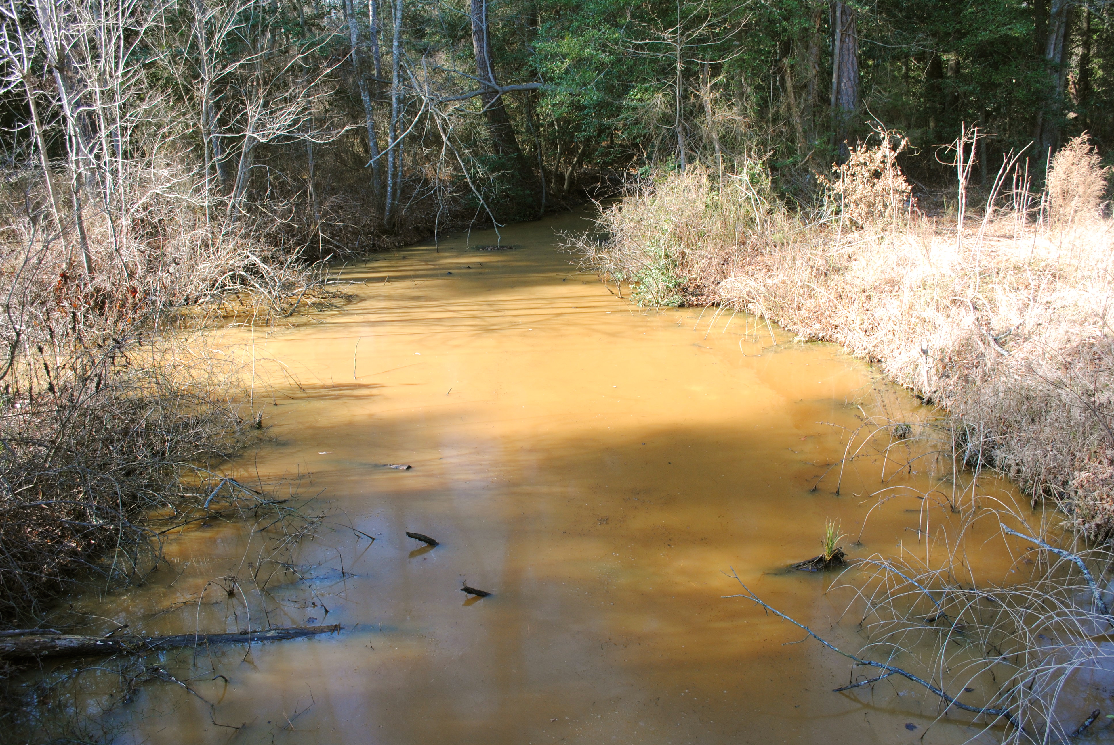
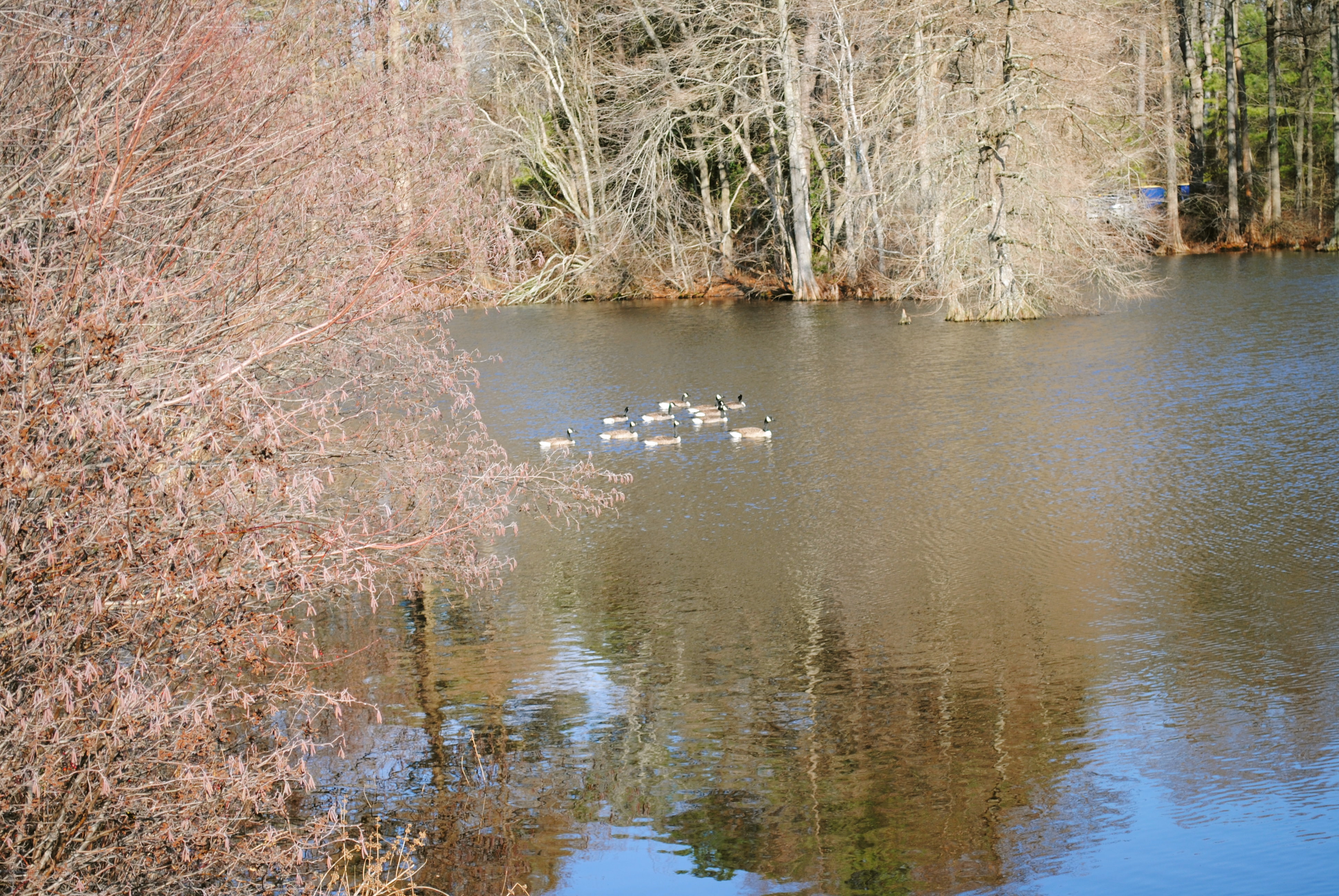
Stream view from a footbridge

bw version
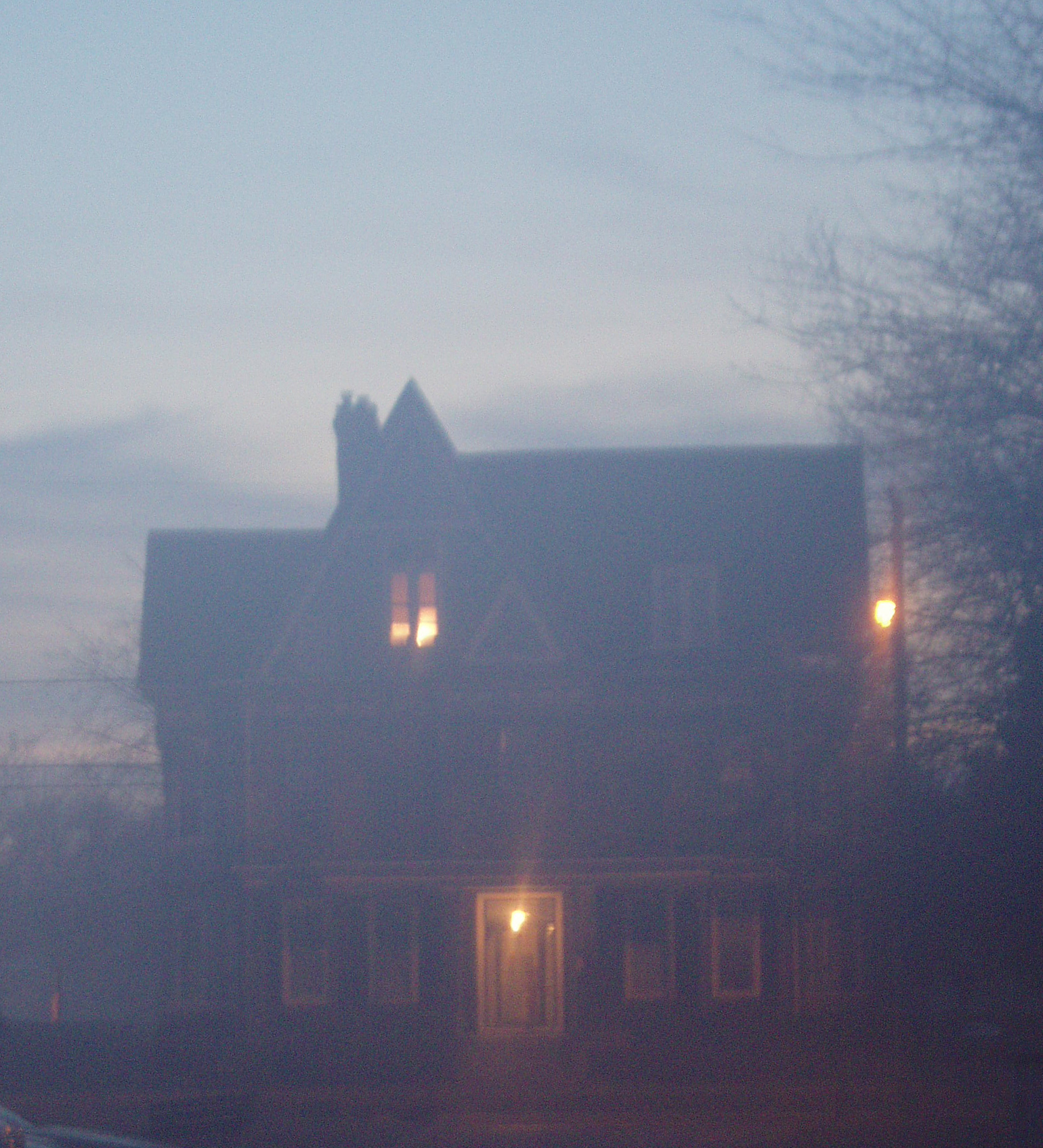
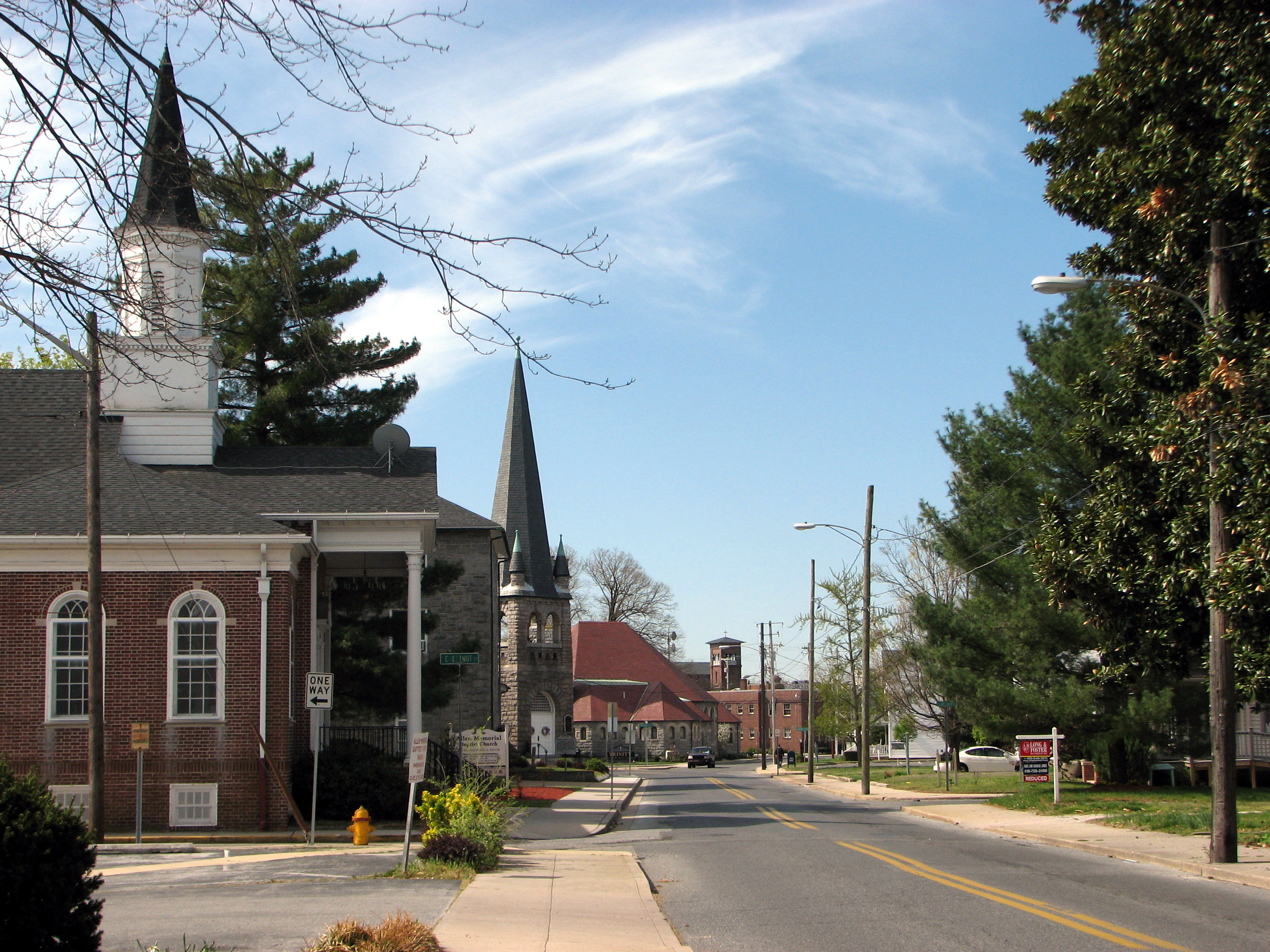
Foggy dawn, Camden Ave., Salisbury

Salisbury City Park

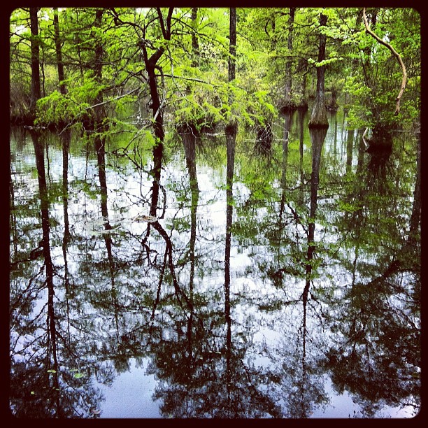
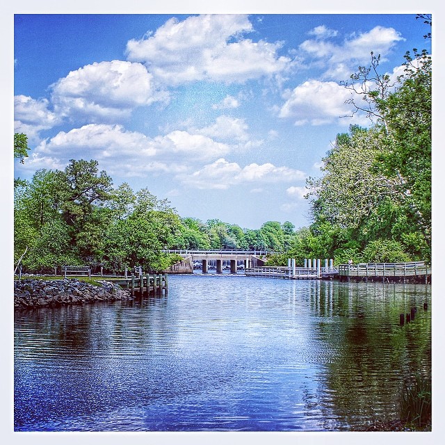
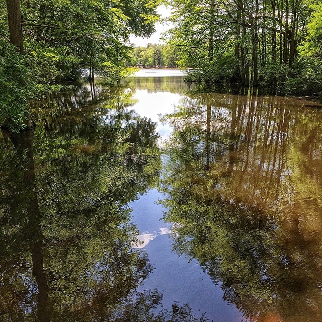
Wicomico River, East Prong
Trees of Trussum - Taken near Trussom Pond and Trap Pond State Park in Laurel, DE

Only God can make a tree

Stream view from a footbridge
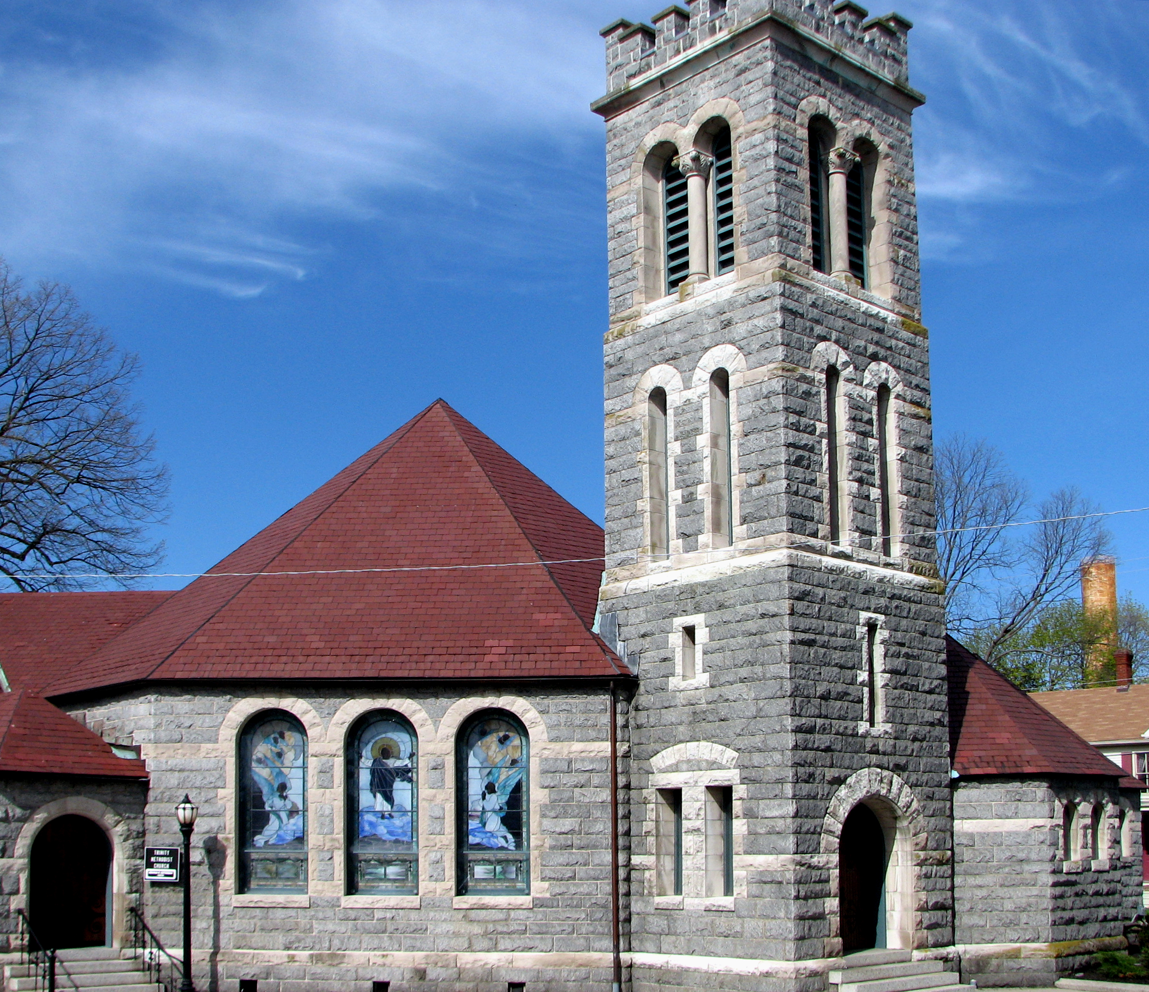
Trinity U.M. Church, Salisbury, Maryland
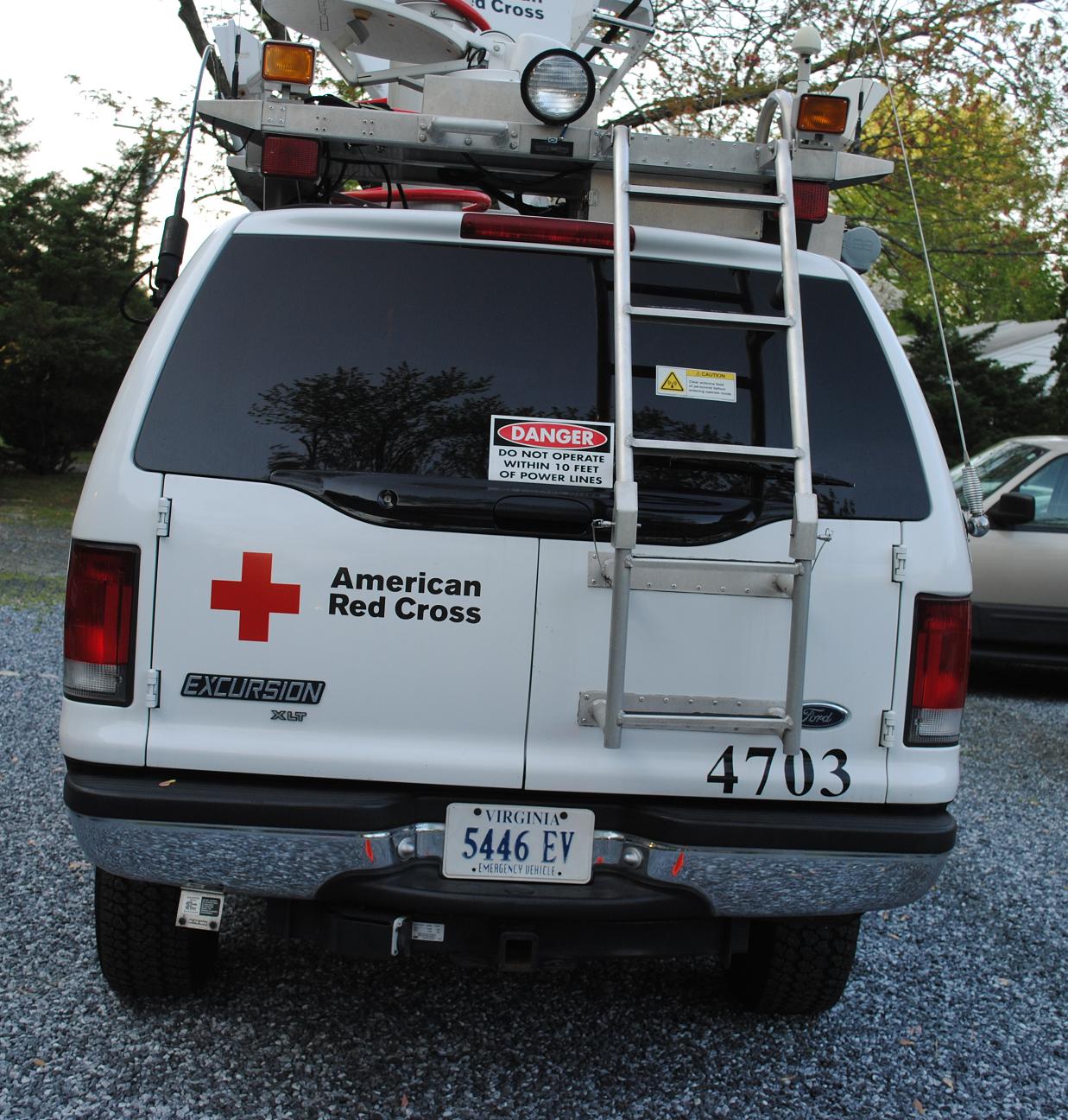
Emergency Communications Response Vehicle (ECRV) 4703
Glory be to God for dappled things
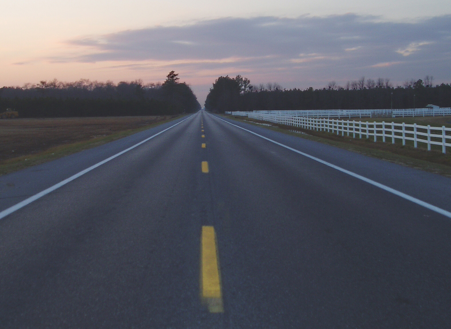
Highway 54, the Line Road

Red Dragon
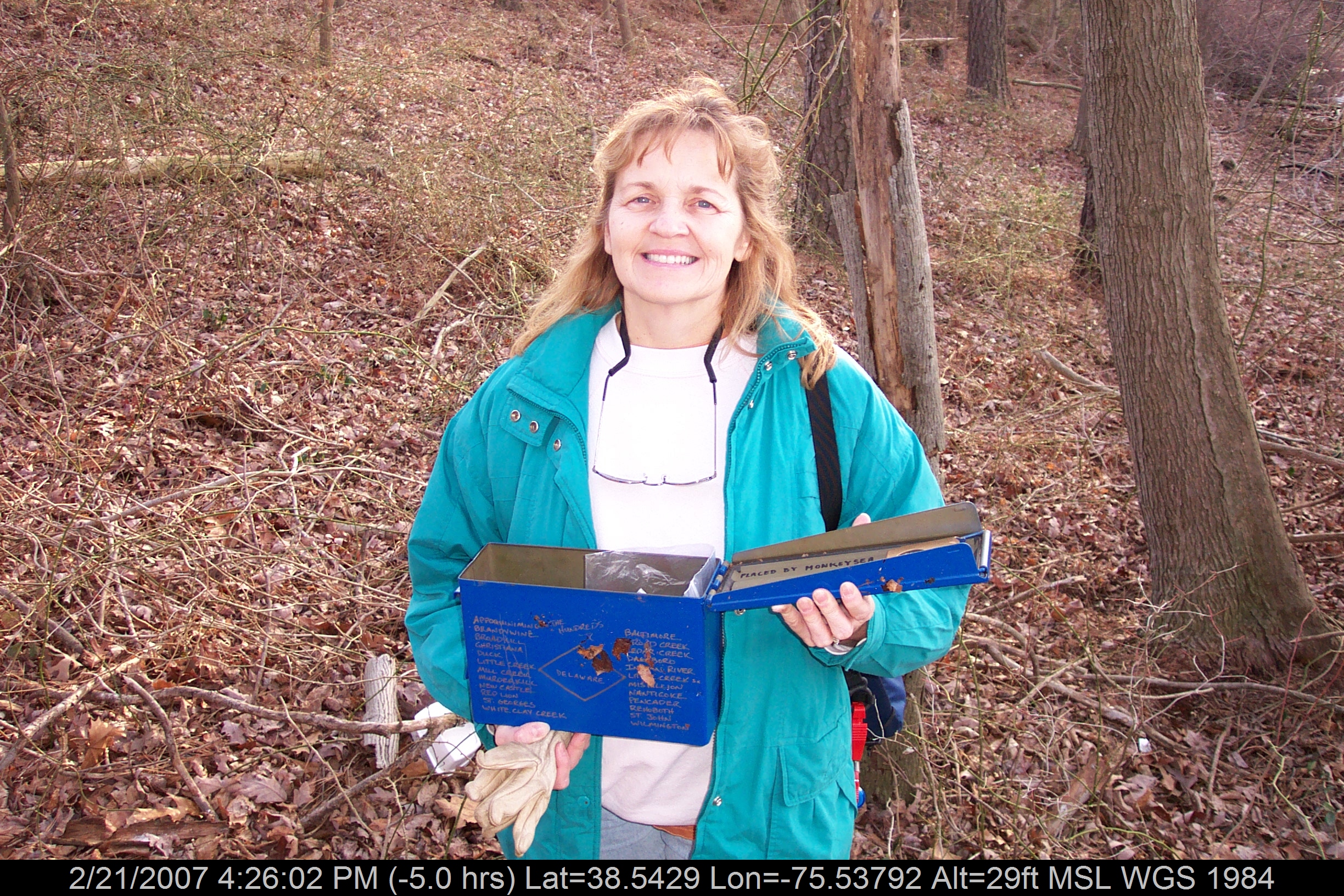
Mrs dinobalz with Broadcreek Hundred Cache
State Line
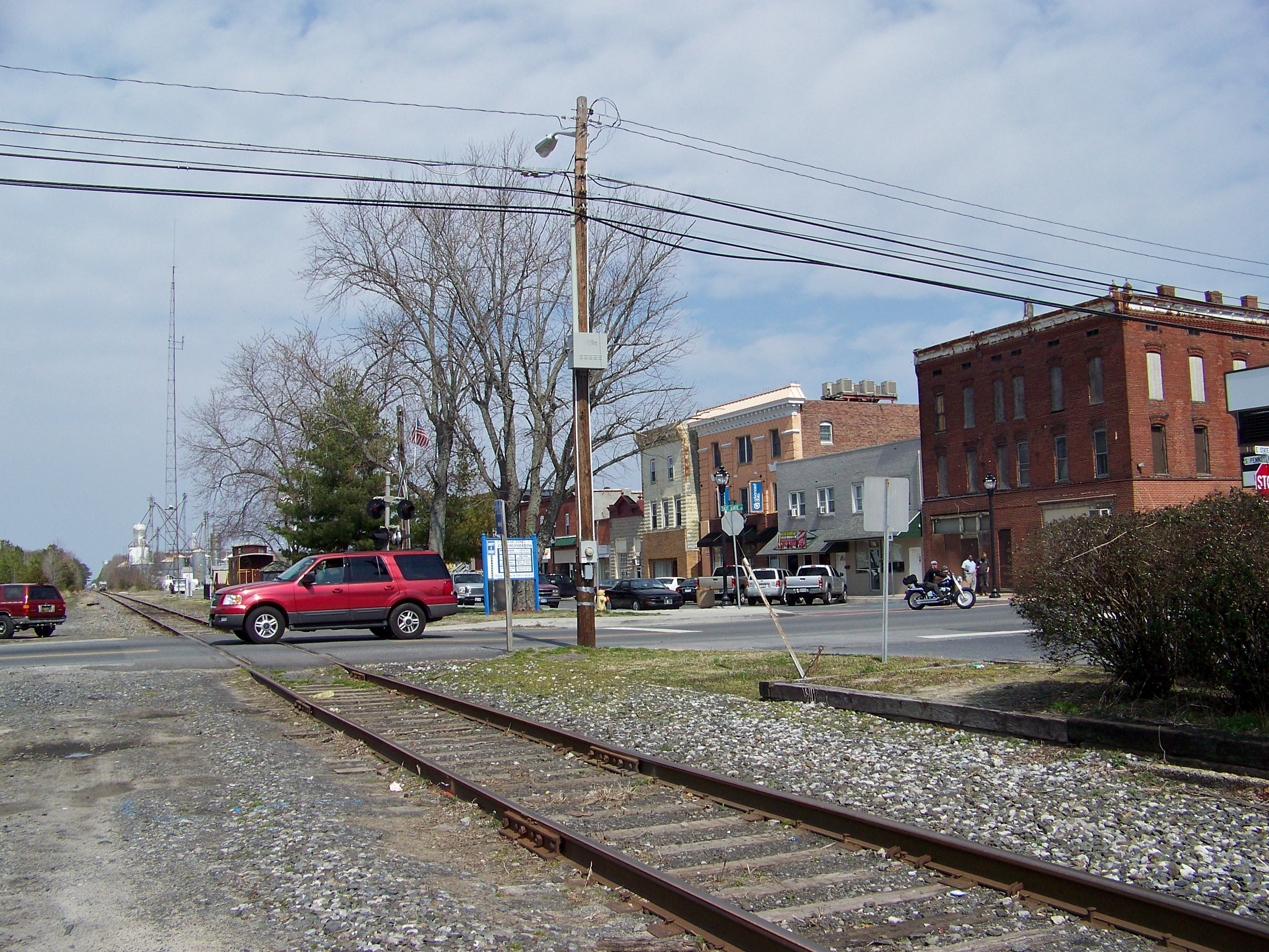
North Division Street, Salisbury, Maryland
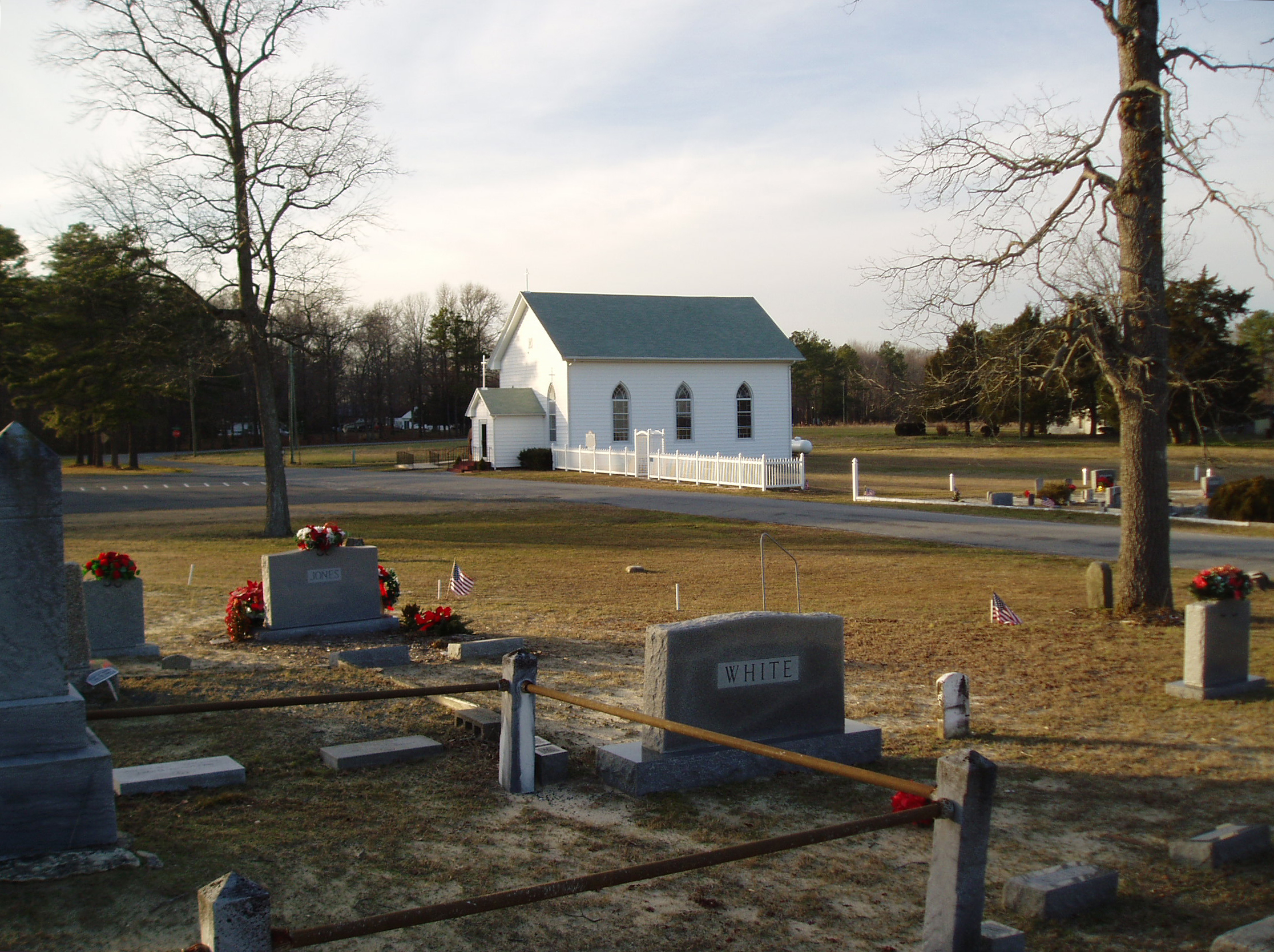
Line U.M. Church
Hiking with Max today.
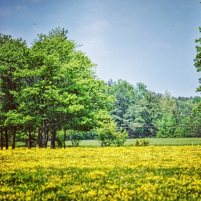
#delaware #field#spring #wildflower #yellow #laurel

Country Road
Stand of Trees

colorado horses

Upper Nanticoke River in Delaware looking north

Soda Can Baseball: Round 2

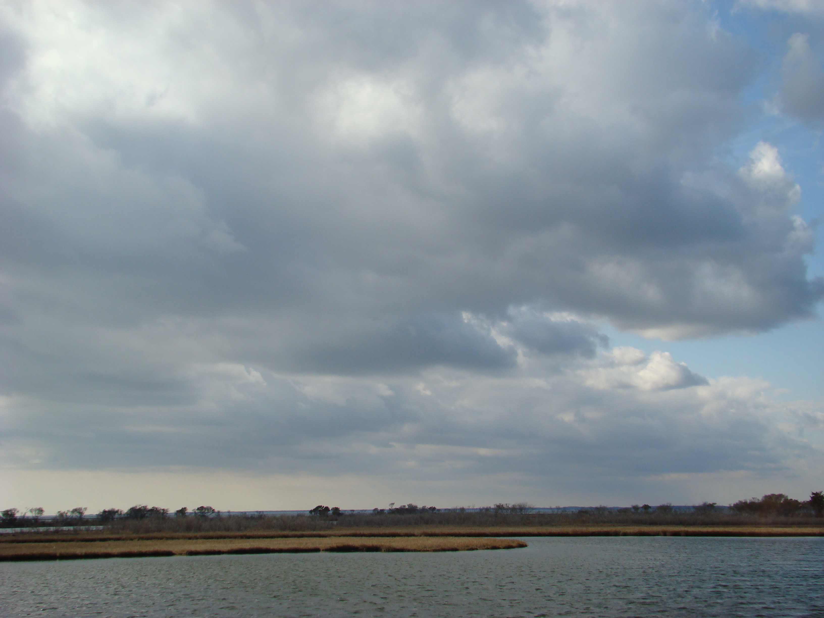
Backlit Clouds
#laurel#delaware #clouds
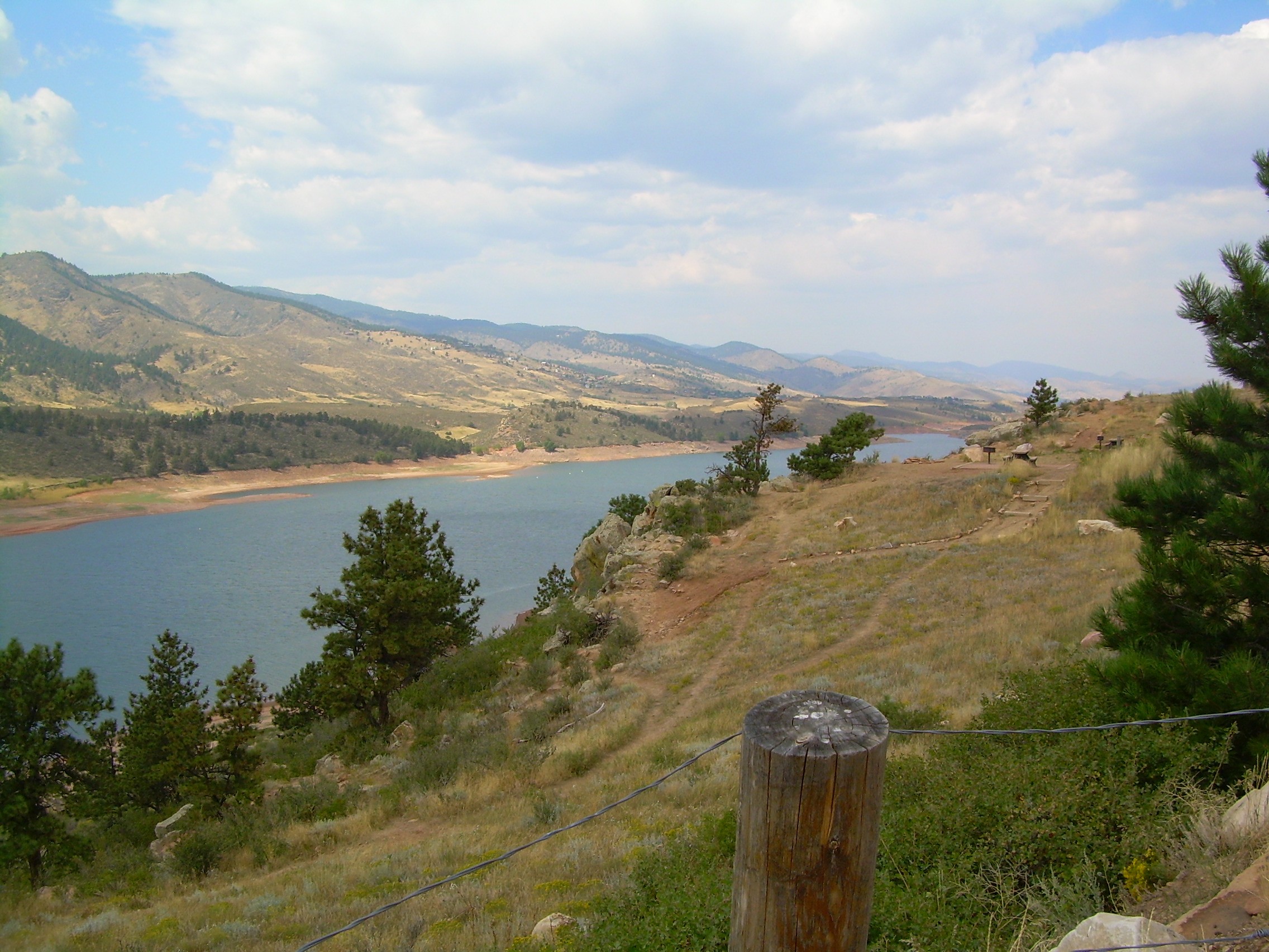
colorado scenery 2
Trap Pond State Park
#trappond#delaware #pond

Assateague Horse and Landscape

Ornate headstone

Site 9. Mitchel Pond
Assateague Landscape
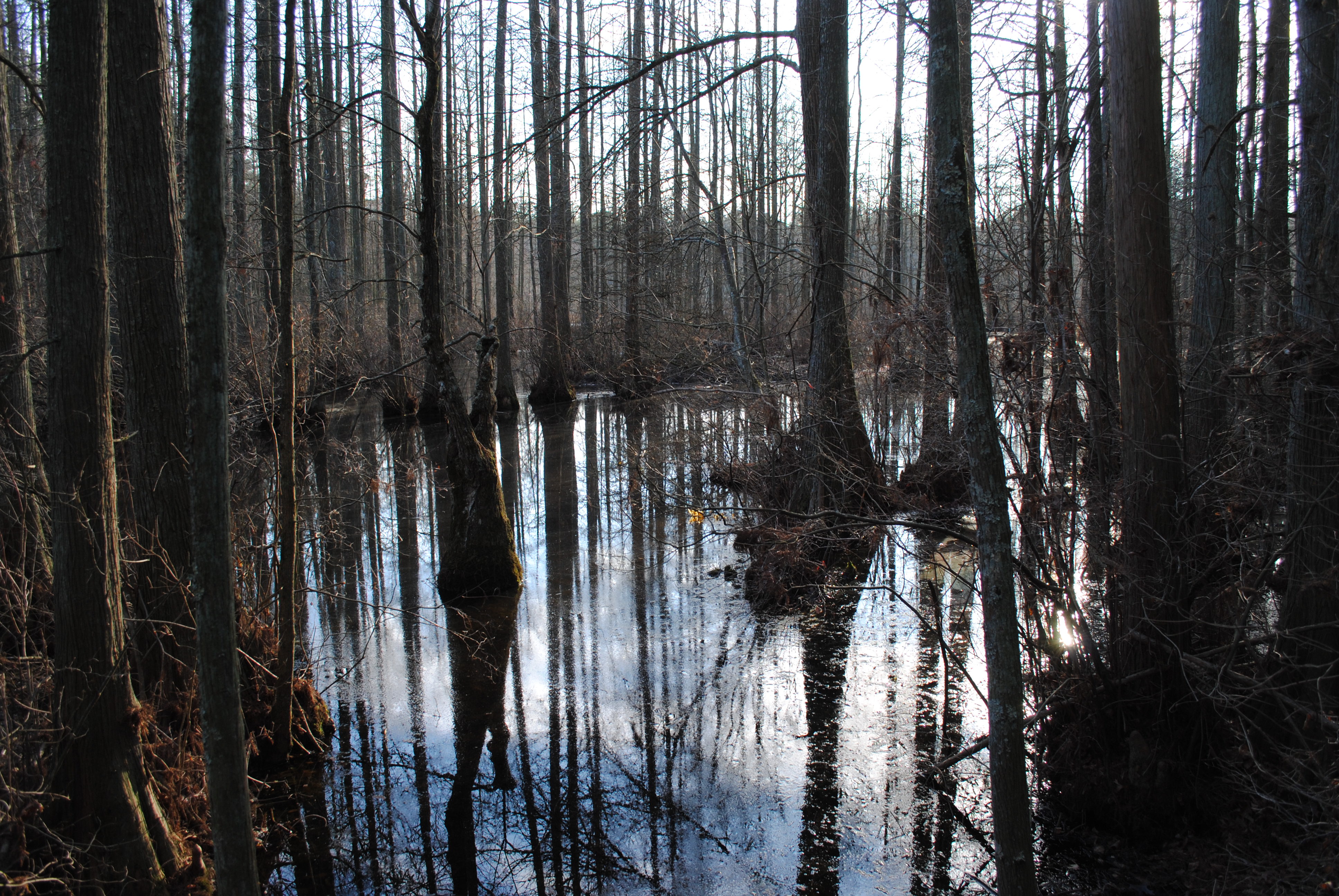
Trap Pond State Park

Sharptown Planting After
Trap Pond State Park
Topographic Map of Delmar, DE, USA
Find elevation by address:

Places in Delmar, DE, USA:
Places near Delmar, DE, USA:
Connelly Mill Rd
Delmar
Colonial Mill Dr, Delmar, MD, USA
8863 Mar Lynn Dr
8718 Mar Lynn Dr
8709 Mar Lynn Dr
29994 Connelly Mill Rd
Leonard Dr, Delmar, MD, USA
Dagsboro Road
Mill Pond Village Apartments
420 Lindenhurst Ct
Zion Rd, Salisbury, MD, USA
Cherry Way
Bowman Dr, Salisbury, MD, USA
Whitesville Rd, Delmar, DE, USA
410 Deborah Dr
8480 Northumberland Dr
Priscilla Street
6933 Sandy Ridge Ct
Morris Leonard Rd, Parsonsburg, MD, USA
Recent Searches:
- Elevation of Zimmer Trail, Pennsylvania, USA
- Elevation of 87 Kilmartin Ave, Bristol, CT, USA
- Elevation of Honghe National Nature Reserve, QP95+PJP, Tongjiang, Heilongjiang, Jiamusi, Heilongjiang, China
- Elevation of Hercules Dr, Colorado Springs, CO, USA
- Elevation of Szlak pieszy czarny, Poland
- Elevation of Griffing Blvd, Biscayne Park, FL, USA
- Elevation of Kreuzburger Weg 13, Düsseldorf, Germany
- Elevation of Gateway Blvd SE, Canton, OH, USA
- Elevation of East W.T. Harris Boulevard, E W.T. Harris Blvd, Charlotte, NC, USA
- Elevation of West Sugar Creek, Charlotte, NC, USA