Elevation of Oxbridge Dr, Salisbury, MD, USA
Location: United States > Maryland > Wicomico County > 5, Parsons > Salisbury >
Longitude: -75.652879
Latitude: 38.3676174
Elevation: 11m / 36feet
Barometric Pressure: 101KPa
Elevation Map:
Satellite Map:
Related Photos:

Only God can make a tree

Pontiac GTO (front view) "Cars of the 1960's"
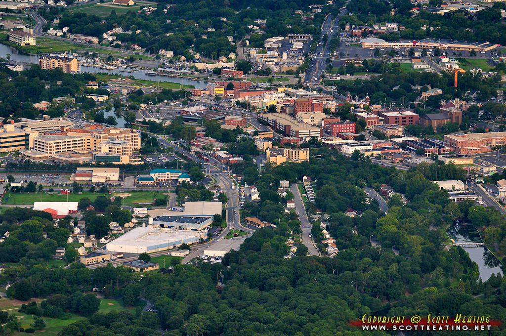
Salisbury, MD
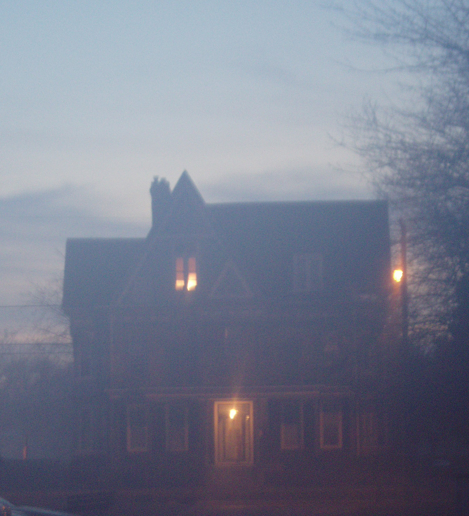
Foggy dawn, Camden Ave., Salisbury

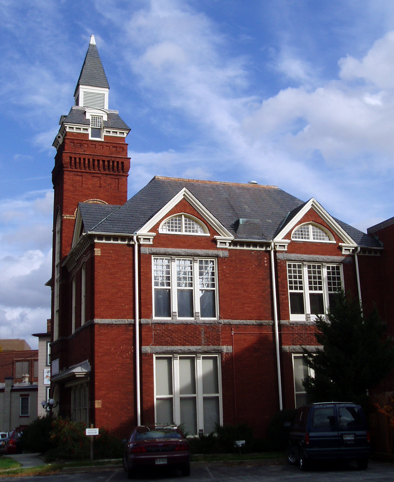
Holloway Hall

Natural abstract 1
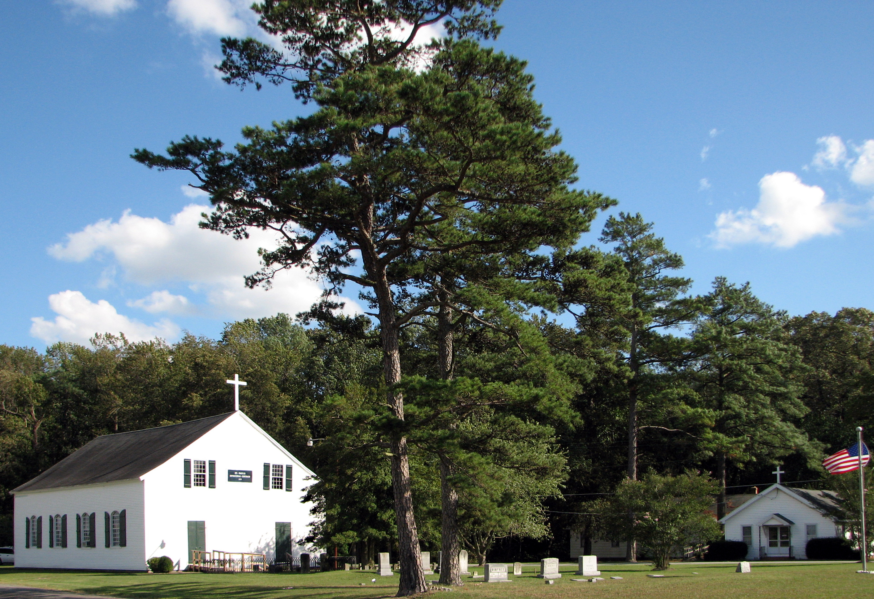
St. Paul's Episcopal Church, "Old Spring Hill"

Emergency Communications Response Vehicle (ECRV) 4703

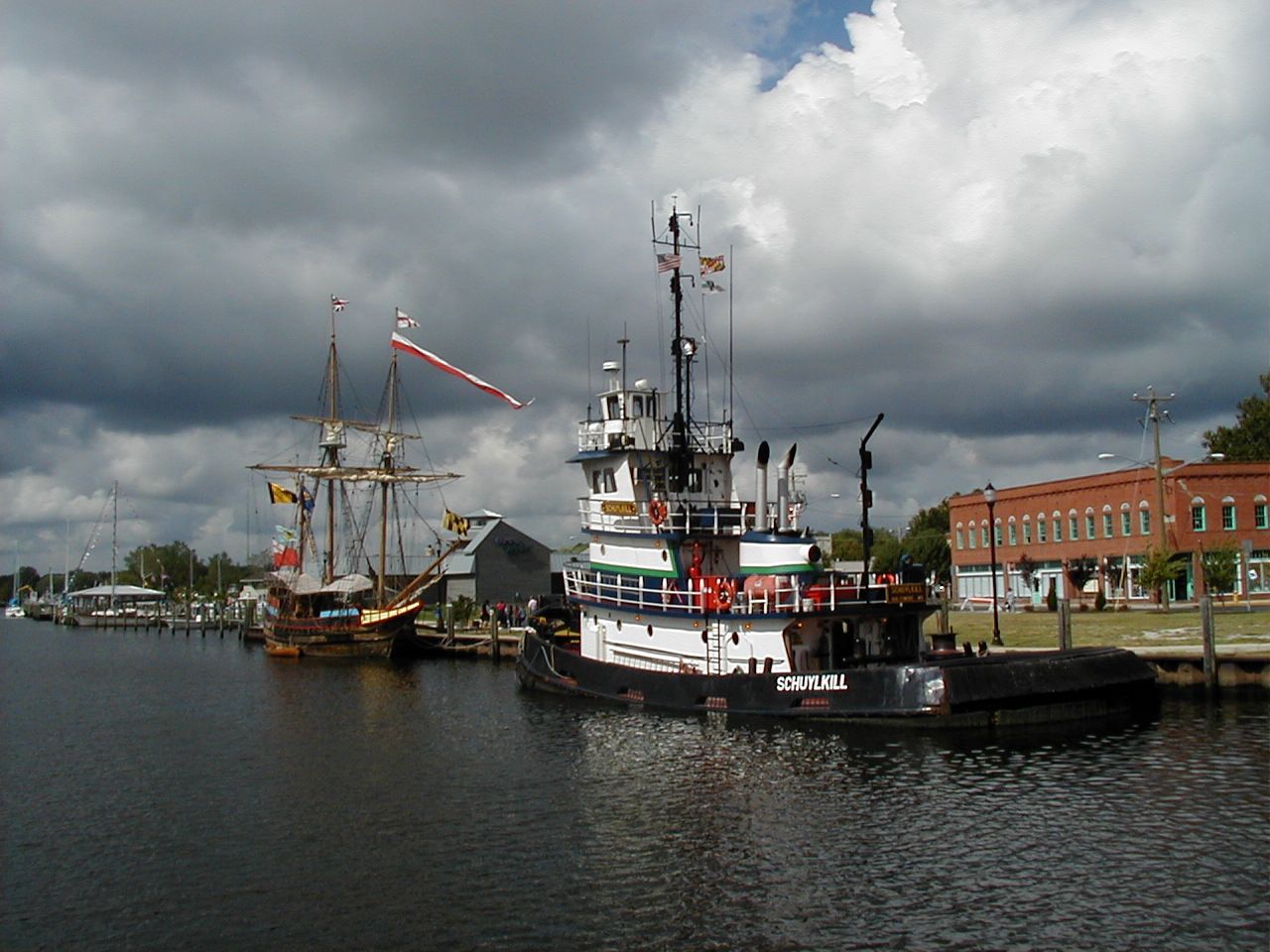
riverside dr salisbury

Park Foliage

Park IR

Juvenile RTH

The Path To The Infrarealm
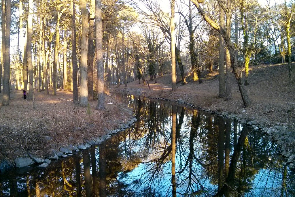
Stream view from a footbridge

Nanticoke River Wetlands

Stream view from a footbridge

ground view of a Tbird from the 1960's
Old City Hall
Camden Avenue, Salisbury, Maryland
Old and New

Delaware State Police Tahoe

Misty Morning Heron

Home and Nature
Bog Lycopodium
Snowstorm on Delmarva | March 22nd, 2018
Marsh at Pemberton Historic Park
Salisbury Bypass Interchange
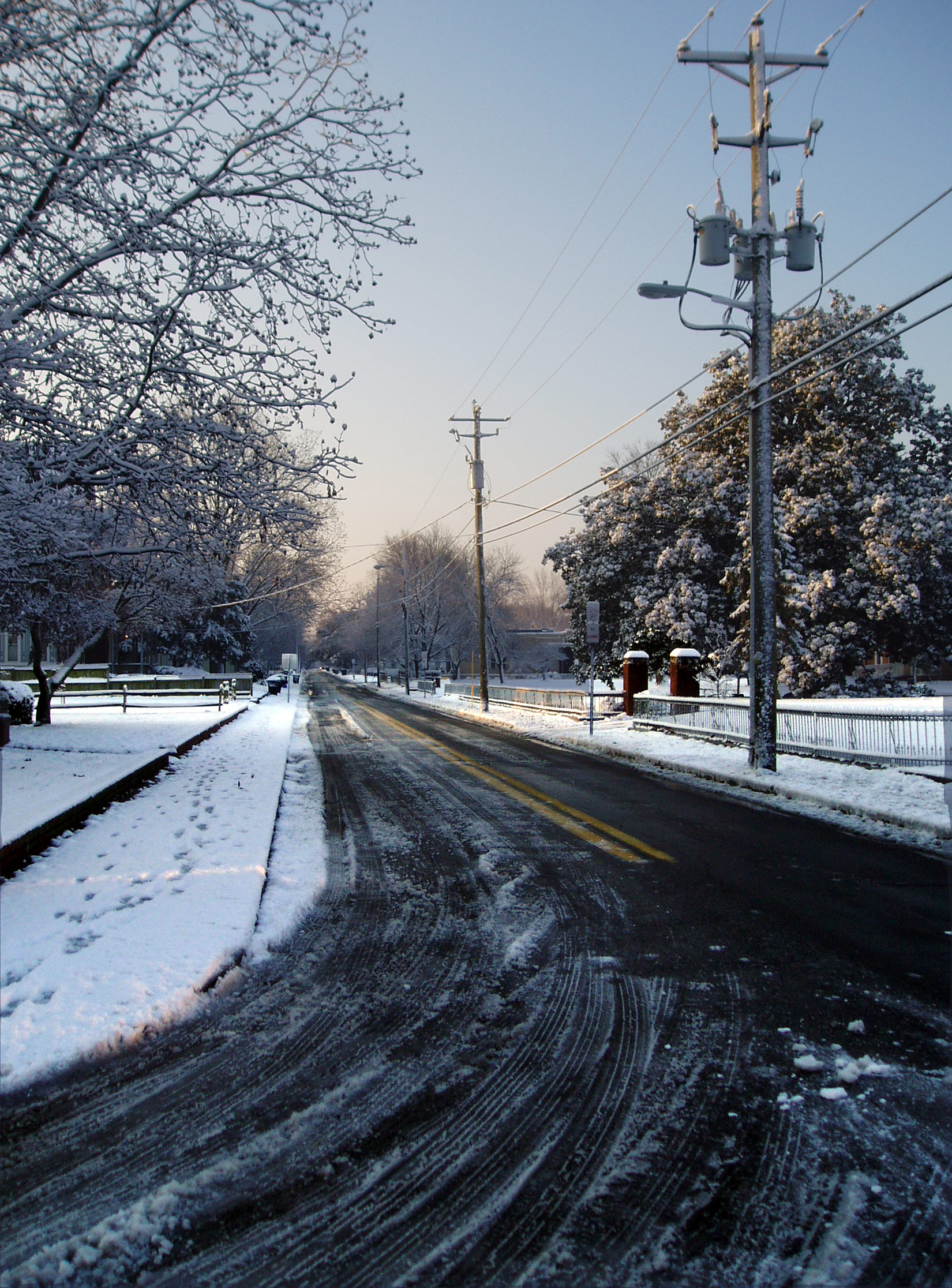
Salisbury, Maryland "Snow in Springtime"
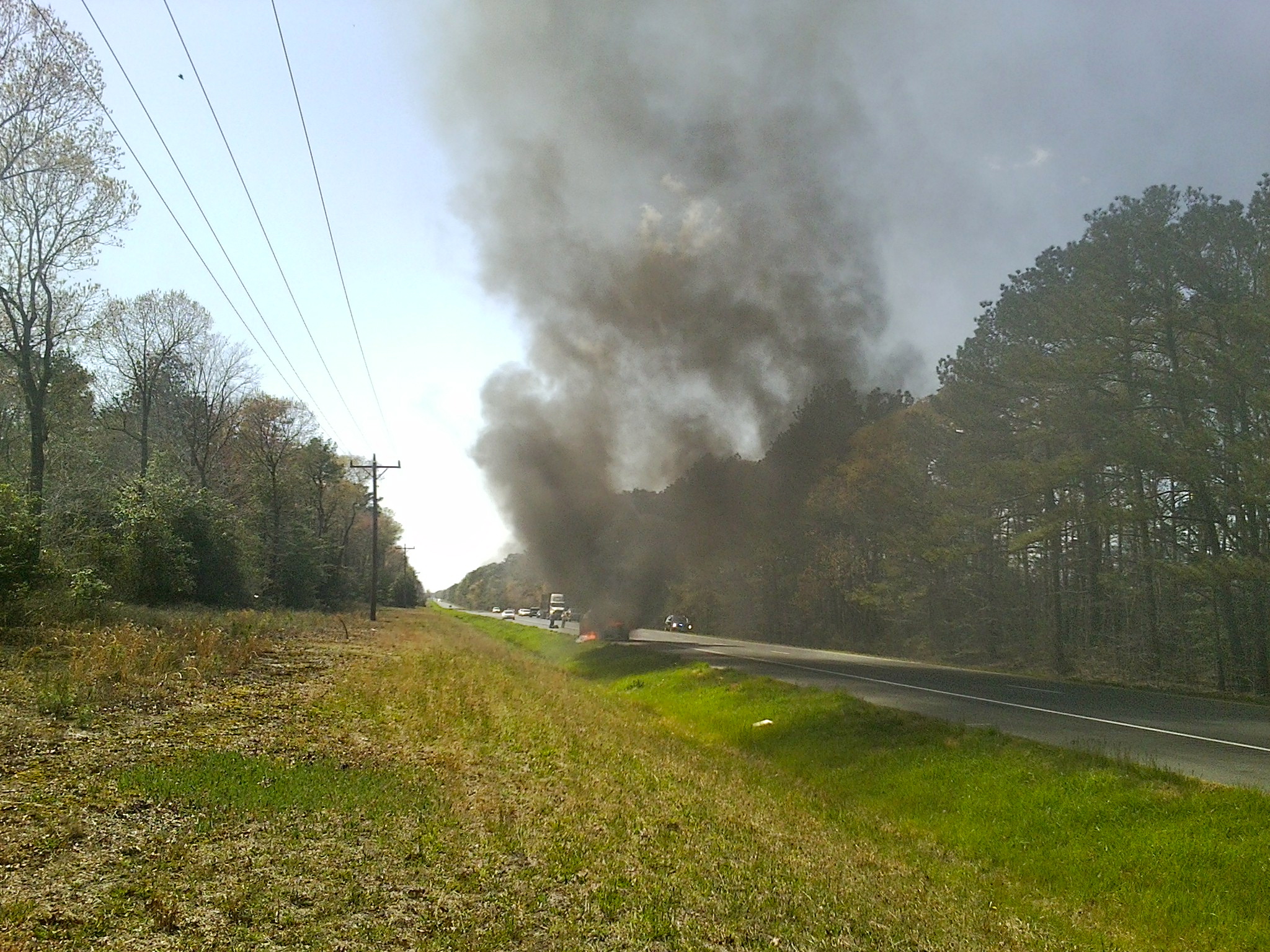
MD Route 50 Truck Fire
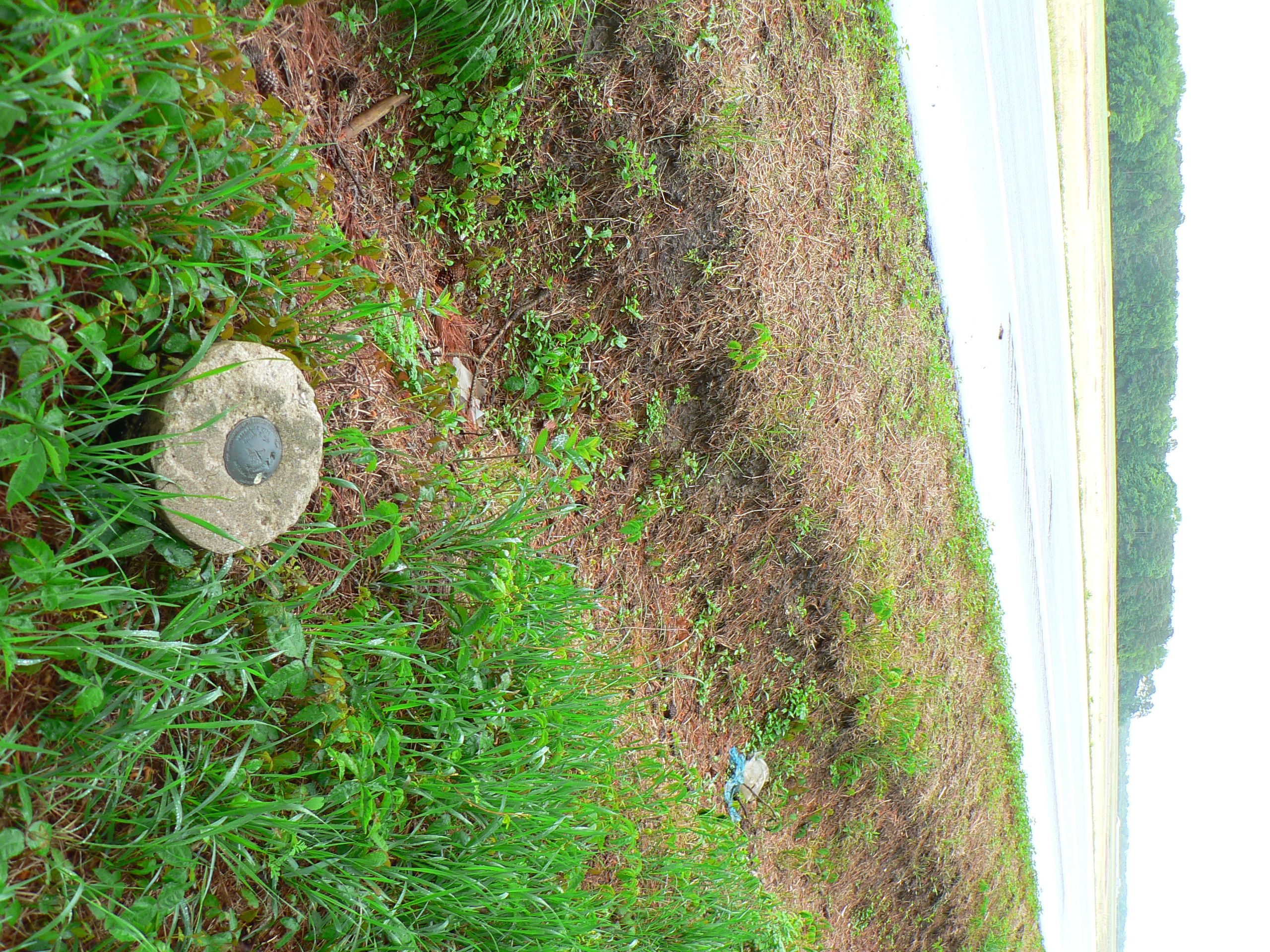
Reference Mark and Boundary Monument

That Maple Tree

Tonights sunset was awesome! Capturing it from a moving car on a cell hardly does it justice.

On Peggy's Farm

Whitehaven, Maryland, 2011

Poultry Barns in Wicomico County, Md.

Forested Land in Wicomico County, Md.

colorado horses

AT-6 Texan Boneyard

Quantico Creek in Wicomico County, Md.

Rewastico Creek
Topographic Map of Oxbridge Dr, Salisbury, MD, USA
Find elevation by address:

Places near Oxbridge Dr, Salisbury, MD, USA:
Equestrian Drive
27542 Derby Dr
6059 Bell Creek Dr
Riawakin Dr, Salisbury, MD, USA
6369 Oliver Dr
9, Salisbury
North Nithsdale Drive
Wicomico County
Silver Run Ln, Salisbury, MD, USA
Dunfries Ct, Salisbury, MD, USA
Crooked Oak Ln, Hebron, MD, USA
Nanticoke Rd, Salisbury, MD, USA
Chinaberry Drive
27933 Riverside Dr Ext
Shawnee Ave, Salisbury, MD, USA
Riverside Dr, Salisbury, MD, USA
606 Ridge Rd
6760 Fire Tower Rd
612 Tony Tank Ln
834 Riverside Rd
Recent Searches:
- Elevation of Hercules Dr, Colorado Springs, CO, USA
- Elevation of Szlak pieszy czarny, Poland
- Elevation of Griffing Blvd, Biscayne Park, FL, USA
- Elevation of Kreuzburger Weg 13, Düsseldorf, Germany
- Elevation of Gateway Blvd SE, Canton, OH, USA
- Elevation of East W.T. Harris Boulevard, E W.T. Harris Blvd, Charlotte, NC, USA
- Elevation of West Sugar Creek, Charlotte, NC, USA
- Elevation of Wayland, NY, USA
- Elevation of Steadfast Ct, Daphne, AL, USA
- Elevation of Lagasgasan, X+CQH, Tiaong, Quezon, Philippines