Elevation of Levin Dashiell Rd, Hebron, MD, USA
Location: United States > Maryland > Wicomico County > Hebron > Hebron >
Longitude: -75.677939
Latitude: 38.402069
Elevation: 11m / 36feet
Barometric Pressure: 101KPa
Elevation Map:
Satellite Map:
Related Photos:

riverside dr salisbury

Park IR
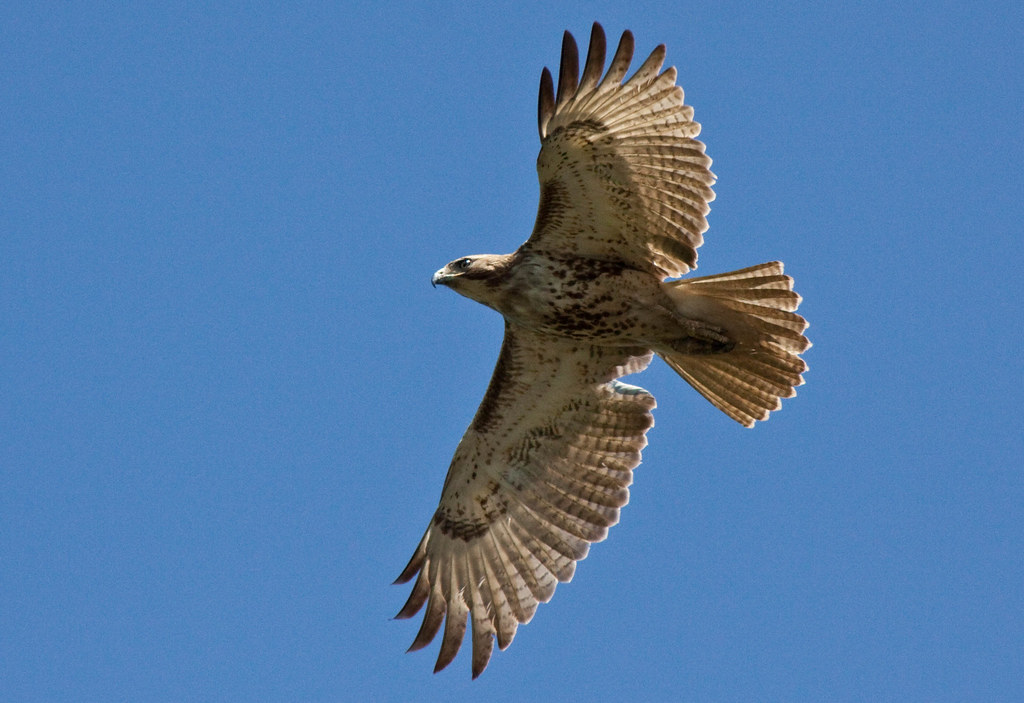
Juvenile RTH

The Path To The Infrarealm
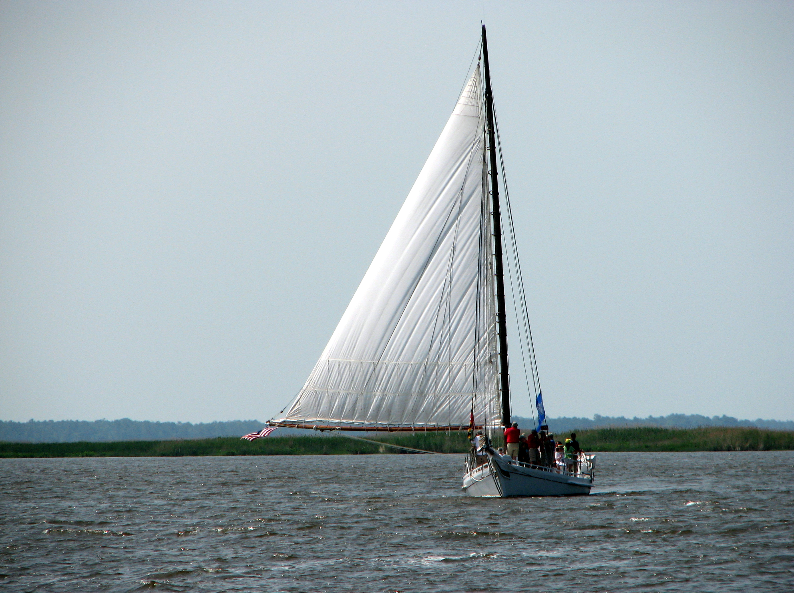
The Skipjack "Nathan of Dorchester"
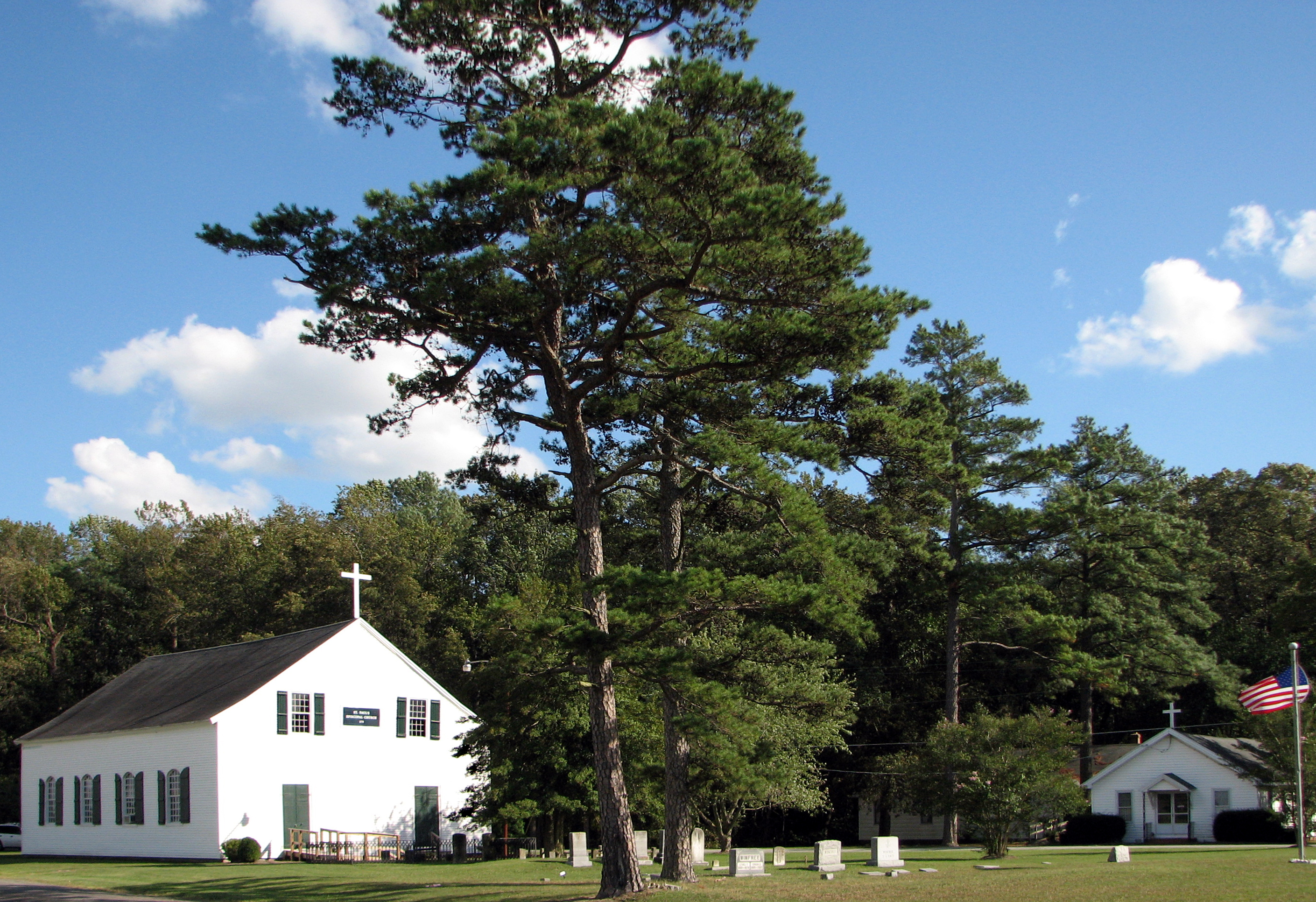
St. Paul's Episcopal Church, "Old Spring Hill"

Faith Community Church, Salisbury, Maryland
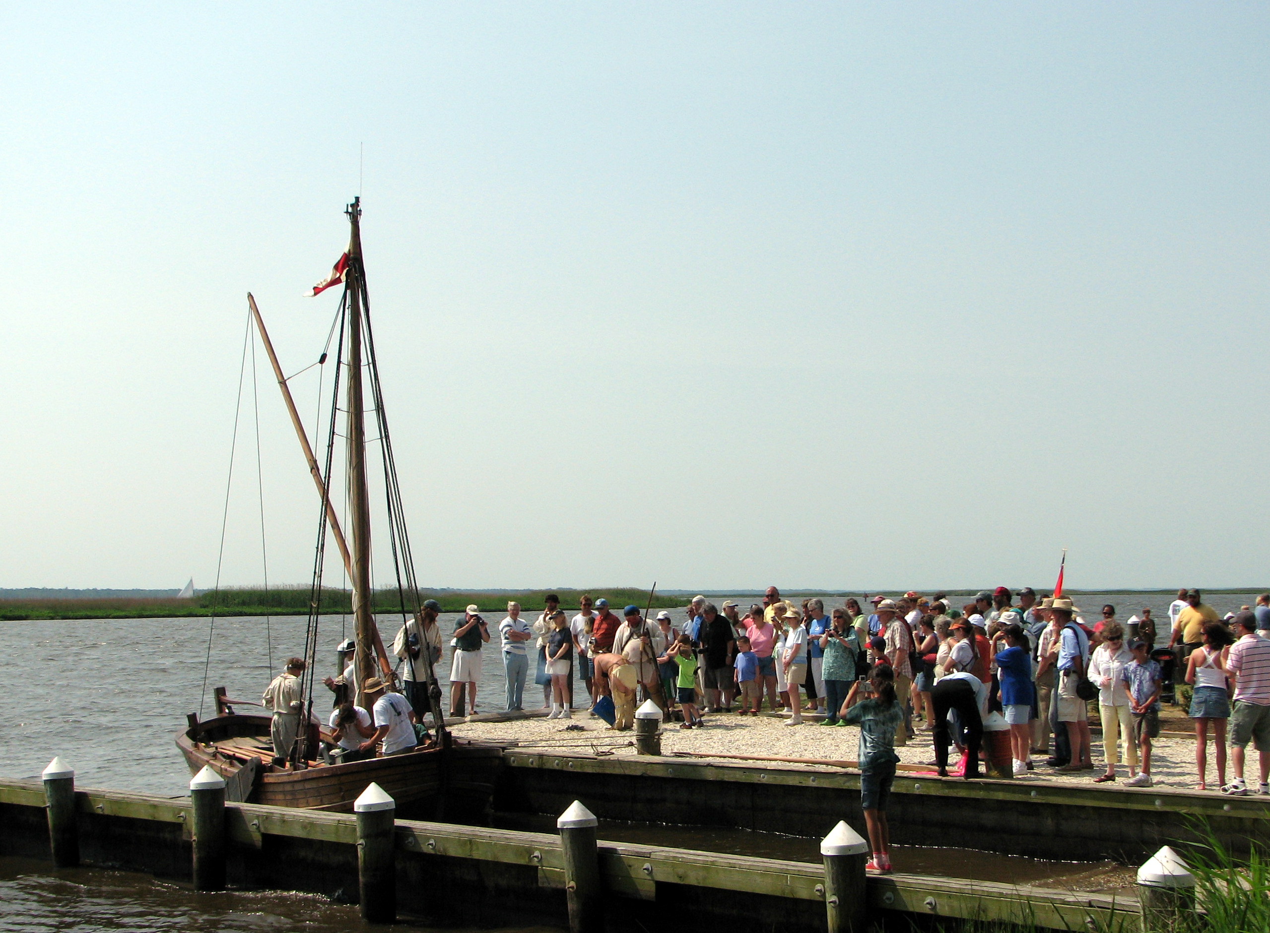
Checking Out The Shallop
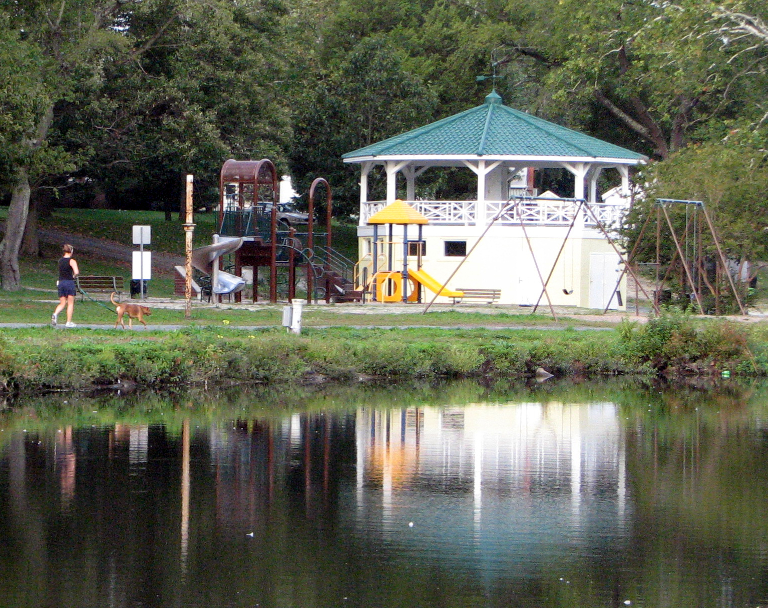
Bandstand and Playground

Park Foliage

Only God can make a tree
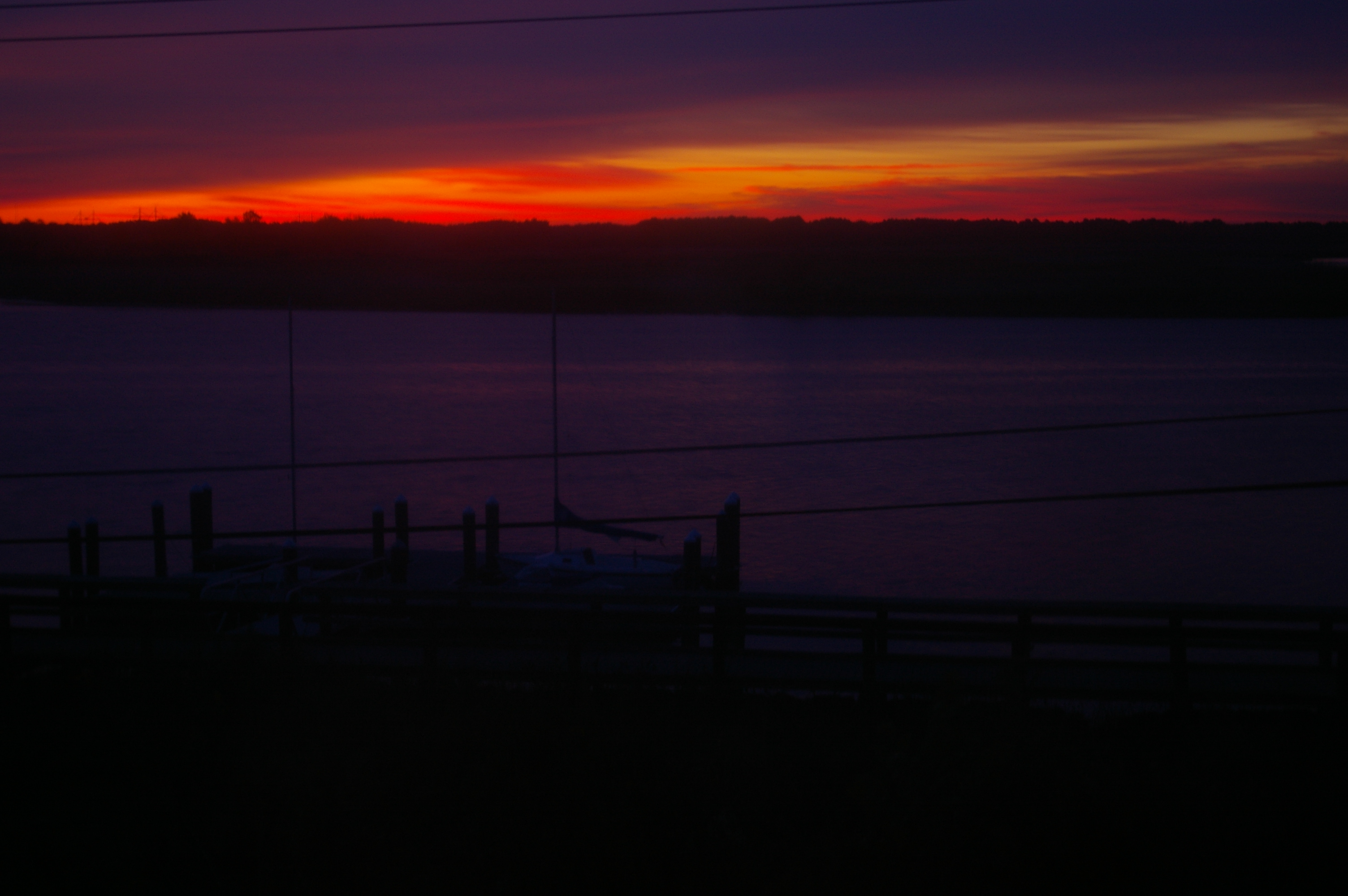
Sunrise Over the Nanticoke 1
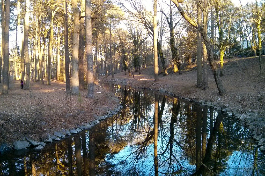
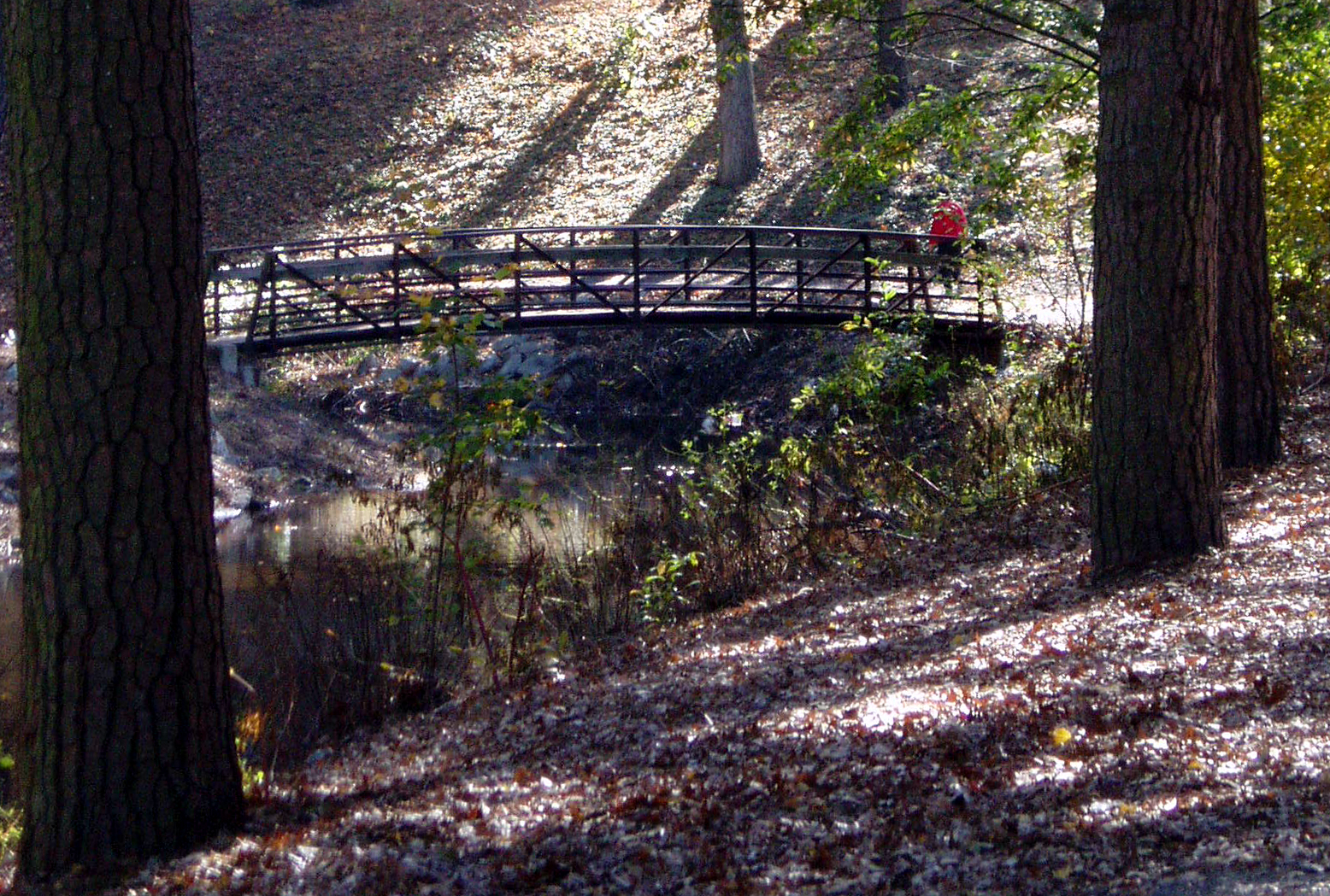
Stream view from a footbridge

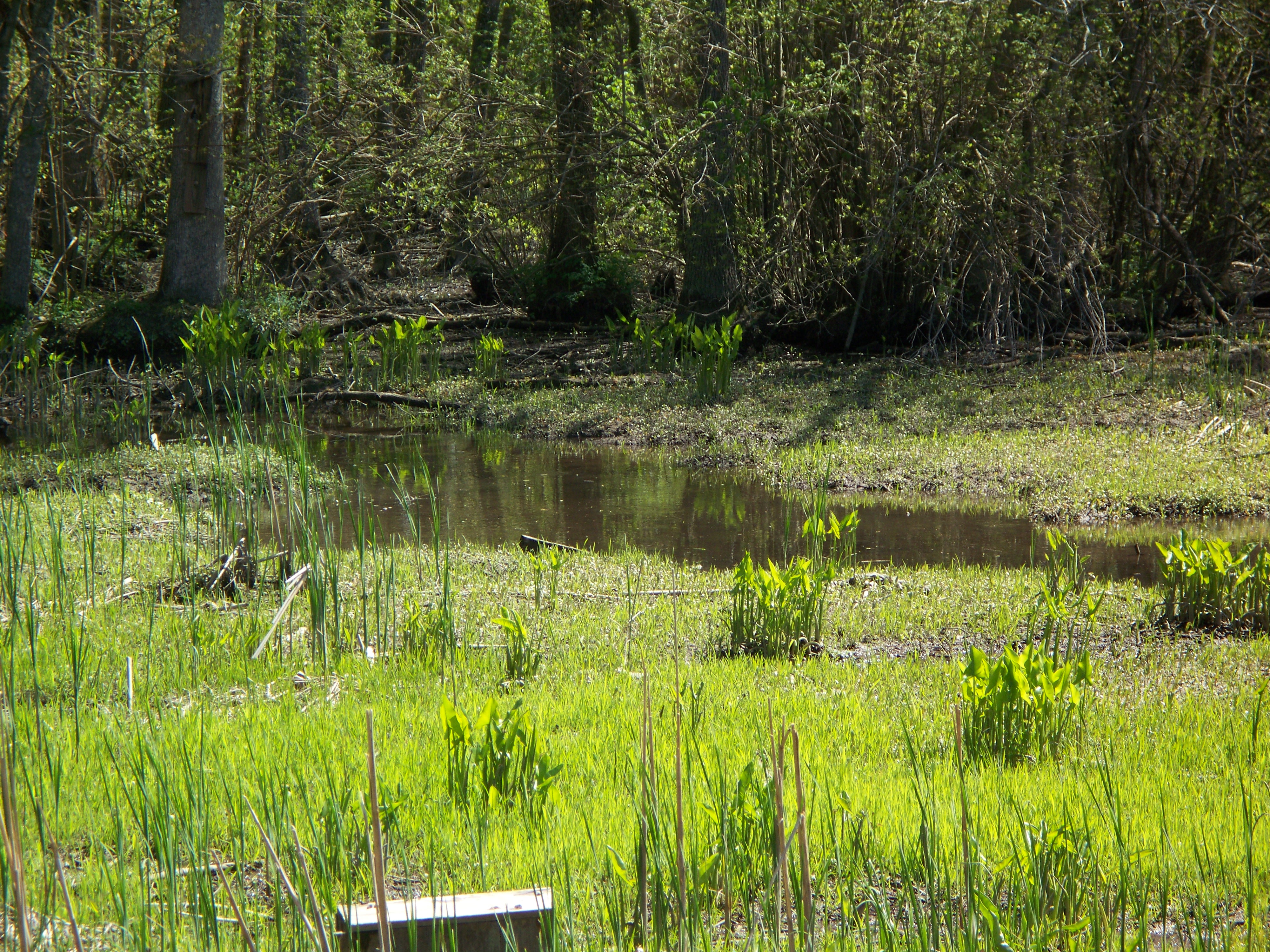
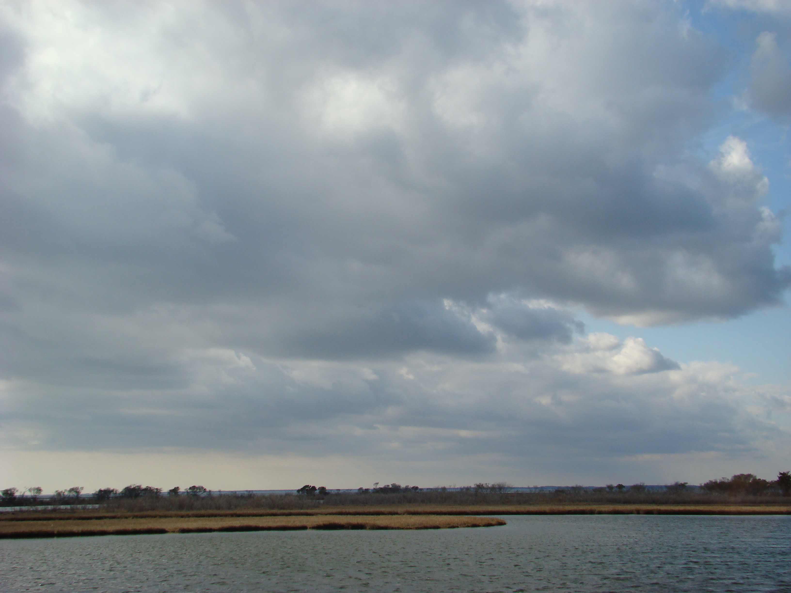
Nanticoke River Wetlands
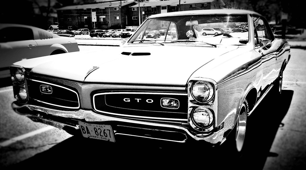
Pontiac GTO (front view) "Cars of the 1960's"

Stream view from a footbridge
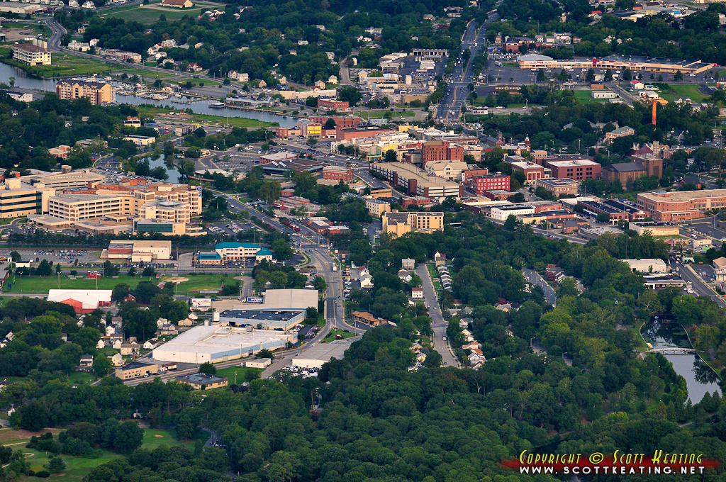
Salisbury, MD
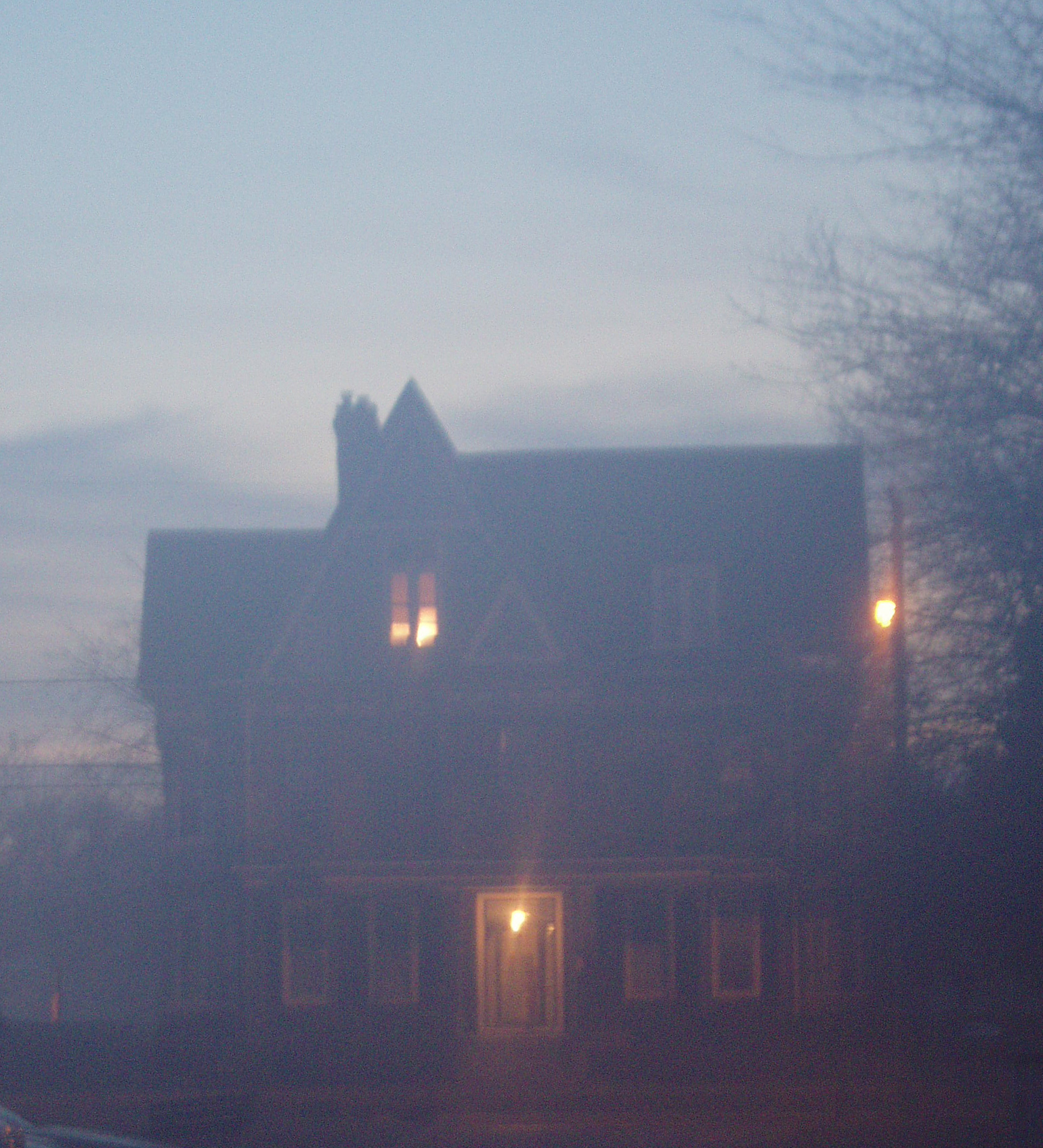
Foggy dawn, Camden Ave., Salisbury

ground view of a Tbird from the 1960's

Holloway Hall
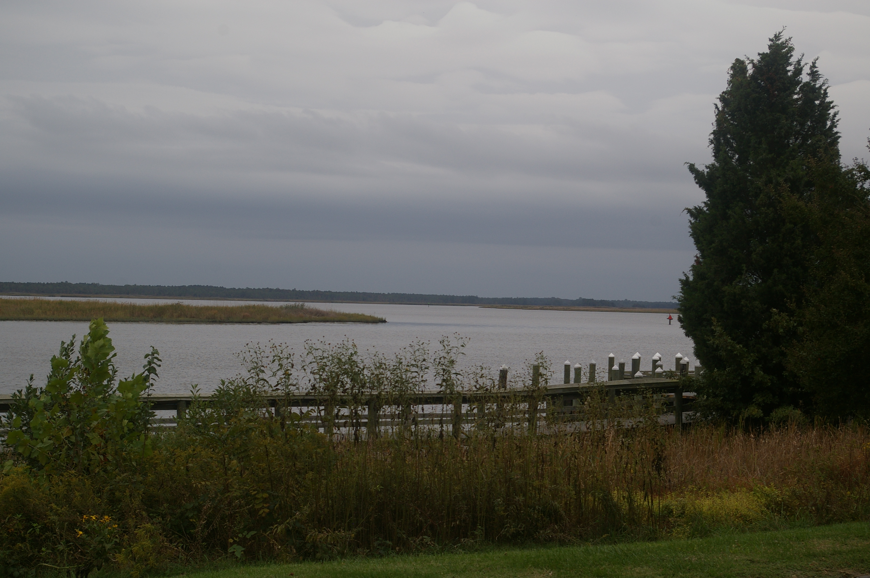
View Across the Nanticoke

Home and Nature
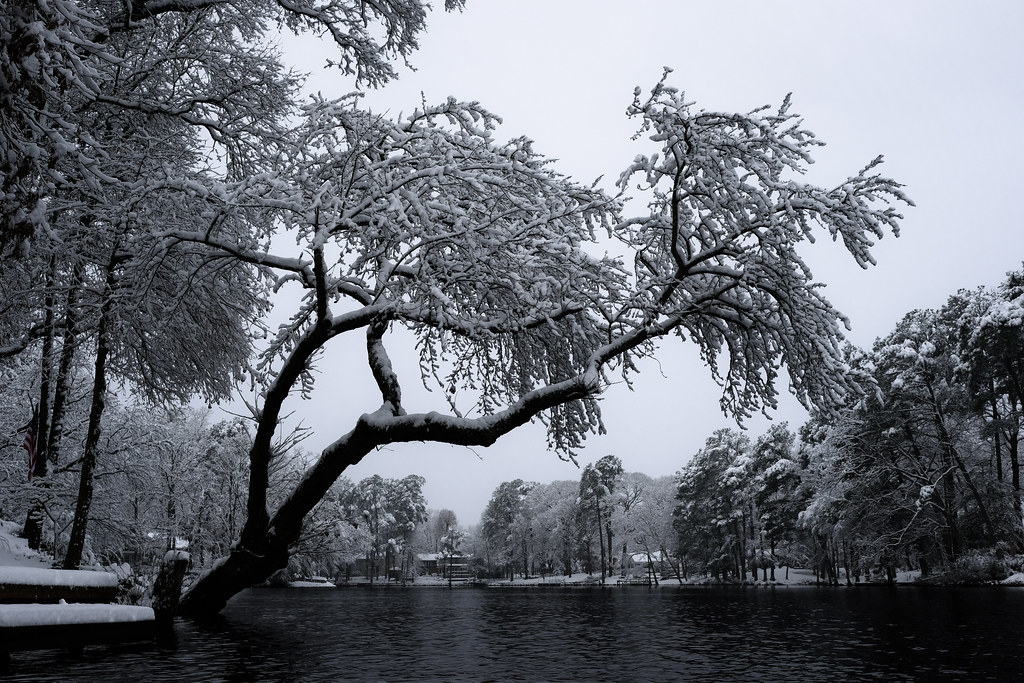
That Maple Tree

Nanticoke River Wetlands

Poultry Barns in Wicomico County, Md.

Quantico Creek in Wicomico County, Md.
Glory be to God for dappled things

Misty Morning Heron

On Peggy's Farm
Marsh at Pemberton Historic Park

Tonights sunset was awesome! Capturing it from a moving car on a cell hardly does it justice.

Assateague Horse and Landscape

Route 50 crosses the Nanticoke River

Forested Land in Wicomico County, Md.

colorado horses
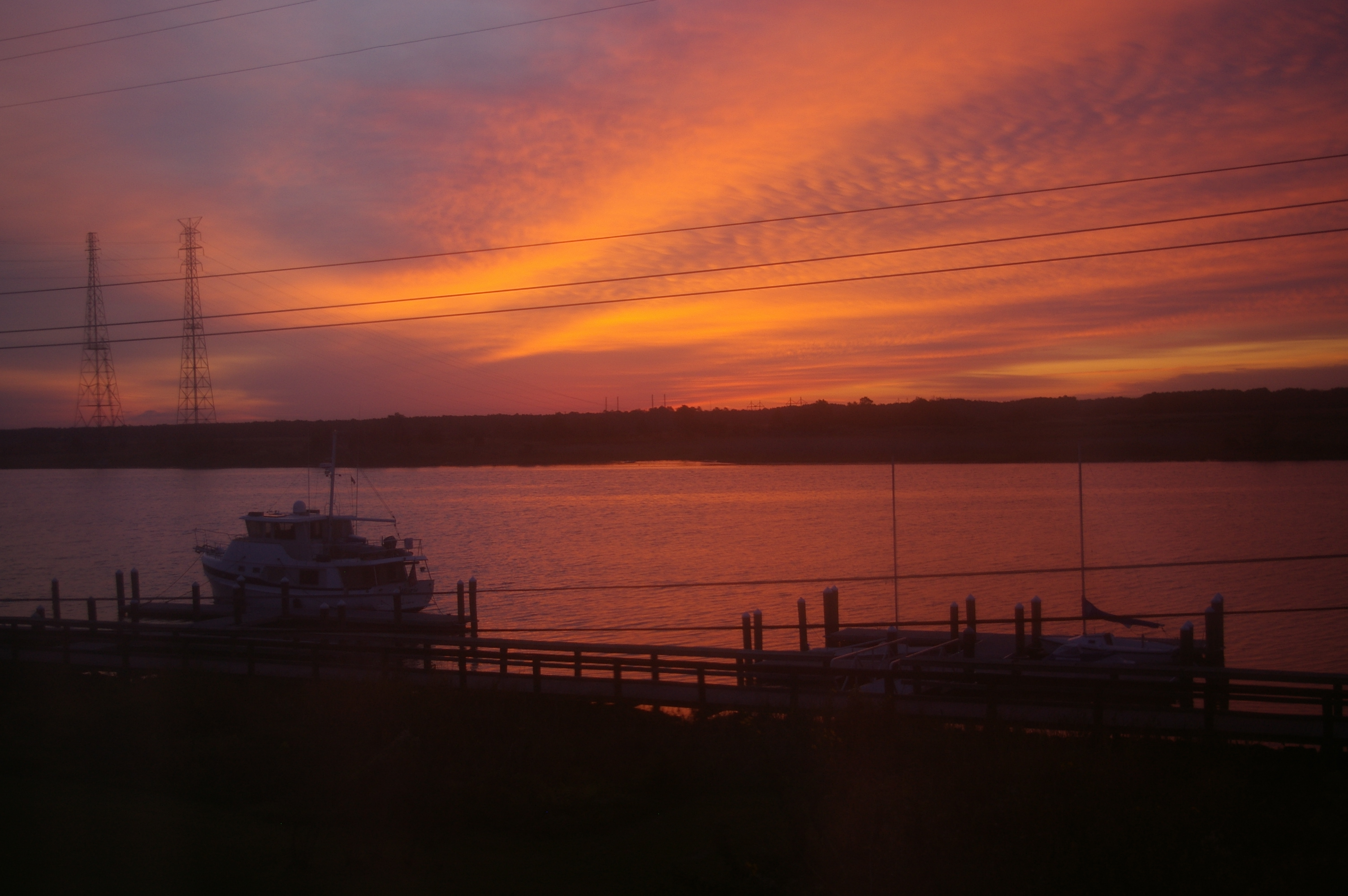
Sunrise Over the Nanticoke 5
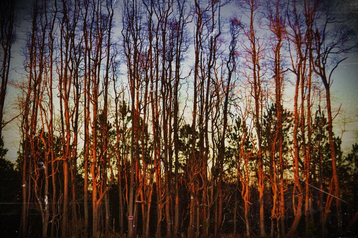
Stand of Trees

Rewastico Creek
Assateague Landscape
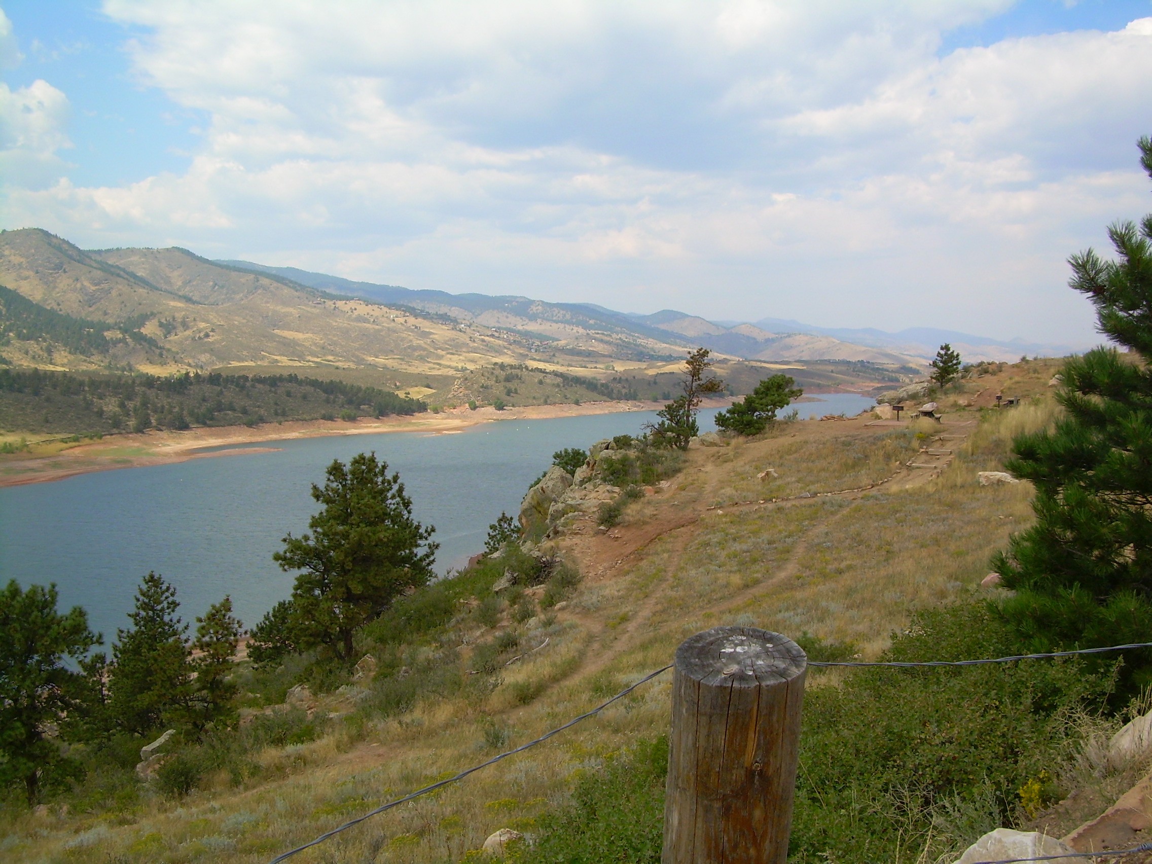
colorado scenery 2
Topographic Map of Levin Dashiell Rd, Hebron, MD, USA
Find elevation by address:

Places near Levin Dashiell Rd, Hebron, MD, USA:
Wicomico County
Hebron
Hebron
Crooked Oak Ln, Hebron, MD, USA
6760 Fire Tower Rd
Riawakin Dr, Salisbury, MD, USA
6369 Oliver Dr
Olde Florist Ln, Hebron, MD, USA
5900 Oxbridge Dr
White Lowe Road
27542 Derby Dr
Equestrian Drive
9, Salisbury
North Nithsdale Drive
6059 Bell Creek Dr
Dunfries Ct, Salisbury, MD, USA
Shawnee Ave, Salisbury, MD, USA
Nanticoke Rd, Salisbury, MD, USA
6508 Quantico Rd
Silver Run Ln, Salisbury, MD, USA
Recent Searches:
- Elevation of Congressional Dr, Stevensville, MD, USA
- Elevation of Bellview Rd, McLean, VA, USA
- Elevation of Stage Island Rd, Chatham, MA, USA
- Elevation of Shibuya Scramble Crossing, 21 Udagawacho, Shibuya City, Tokyo -, Japan
- Elevation of Jadagoniai, Kaunas District Municipality, Lithuania
- Elevation of Pagonija rock, Kranto 7-oji g. 8"N, Kaunas, Lithuania
- Elevation of Co Rd 87, Jamestown, CO, USA
- Elevation of Tenjo, Cundinamarca, Colombia
- Elevation of Côte-des-Neiges, Montreal, QC H4A 3J6, Canada
- Elevation of Bobcat Dr, Helena, MT, USA