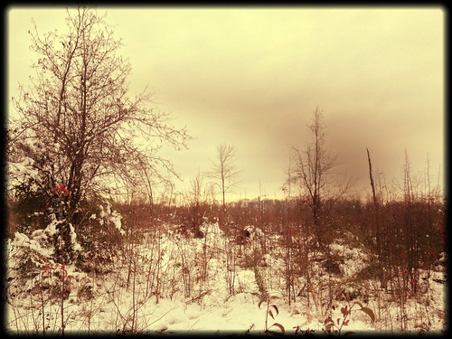
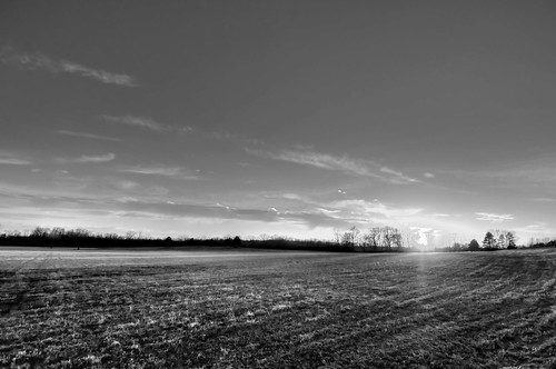
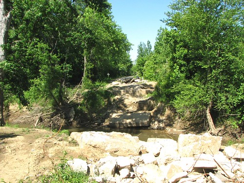
Elevation of Ray Sowell Rd, Austin, AR, USA
Location: United States > Arkansas > Lonoke County > Caroline Township > Austin >
Longitude: -91.956297
Latitude: 34.9762775
Elevation: 82m / 269feet
Barometric Pressure: 100KPa
Related Photos:
Topographic Map of Ray Sowell Rd, Austin, AR, USA
Find elevation by address:

Places near Ray Sowell Rd, Austin, AR, USA:
E Main St, Cabot, AR, USA
Holly Ln, Austin, AR, USA
Patty Rd, Ward, AR, USA
Staton Rd, Cabot, AR, USA
Campground Rd, Austin, AR, USA
Honeysuckle Ln, Cabot, AR, USA
30 Woody Ln, Cabot, AR, USA
52 AR-, Austin, AR, USA
Oak Grove Township
N Emery St, Cabot, AR, USA
N 2nd St, Cabot, AR, USA
56 Thunderbird Dr, Cabot, AR, USA
Cabot
380 Candlewood Cir
19 Paige Ave, Cabot, AR, USA
Eagle Township
S Candlewood St, Cabot, AR, USA
75 Russell Rd, Cabot, AR, USA
Bratton Rd, Lonoke, AR, USA
Co Rd, Lonoke, AR, USA
Recent Searches:
- Elevation of Lampiasi St, Sarasota, FL, USA
- Elevation of Elwyn Dr, Roanoke Rapids, NC, USA
- Elevation of Congressional Dr, Stevensville, MD, USA
- Elevation of Bellview Rd, McLean, VA, USA
- Elevation of Stage Island Rd, Chatham, MA, USA
- Elevation of Shibuya Scramble Crossing, 21 Udagawacho, Shibuya City, Tokyo -, Japan
- Elevation of Jadagoniai, Kaunas District Municipality, Lithuania
- Elevation of Pagonija rock, Kranto 7-oji g. 8"N, Kaunas, Lithuania
- Elevation of Co Rd 87, Jamestown, CO, USA
- Elevation of Tenjo, Cundinamarca, Colombia


