Elevation of Patty Rd, Ward, AR, USA
Location: United States > Arkansas > Lonoke County > Caroline Township > Ward >
Longitude: -91.926042
Latitude: 34.970898
Elevation: 86m / 282feet
Barometric Pressure: 100KPa
Elevation Map:
Satellite Map:
Related Photos:

Meet The Flockers
Birds of a feather...

Left-Face, Scarecrow!

Goodness of Bread and Honey

Another view of this beautiful haircut.????
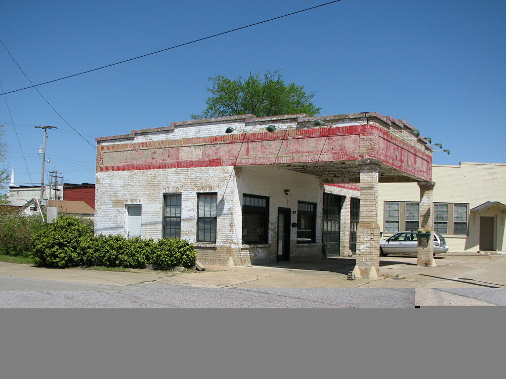
Beebe Esso II
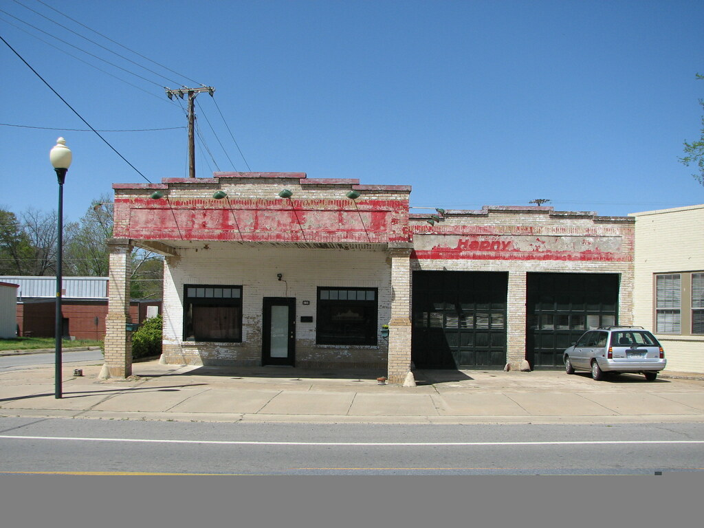
Beebe Esso I
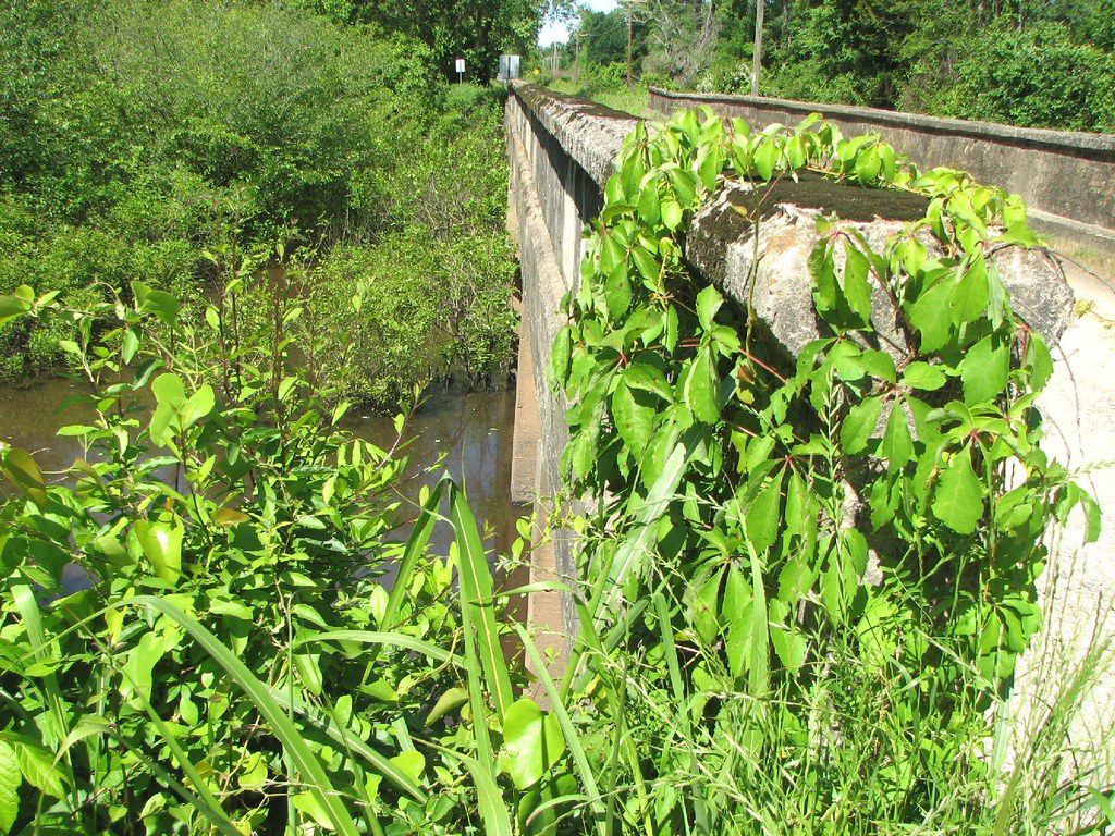
Bull Creek Relief (East)-Side View
Bull Creek Relief (East)-Deck View

Winter Photos
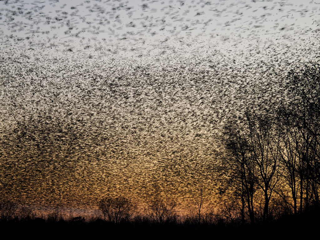
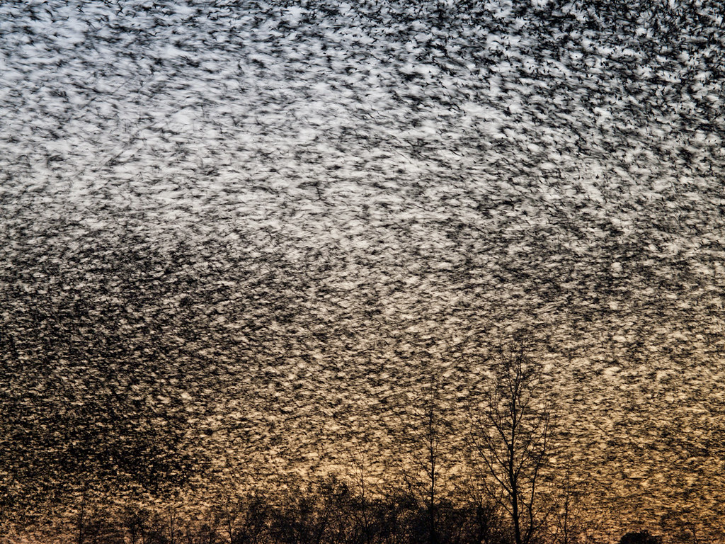
A bunch of birds over Beebe

#mom2monkeysphotography #fishbreakfast #eatingbugs #park #pondlife #pretty #beautiful #breakfast #morning #cabot #canon30d #naturehippy #arkansas #explore #fun #instanaturefriends #notquitefull #simplebeauty #summerbeauty #wild #water
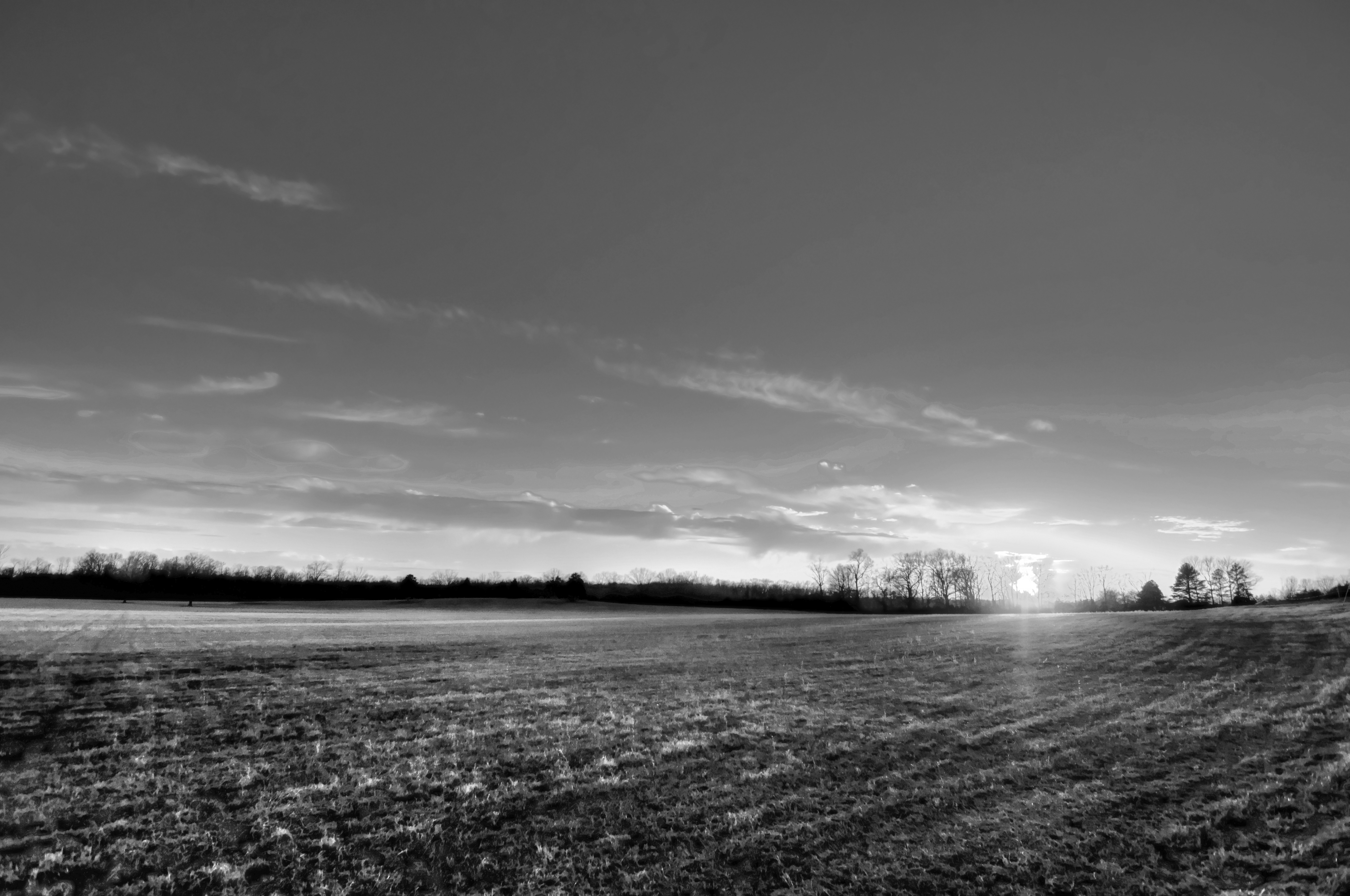
29/365 HDR in black and white
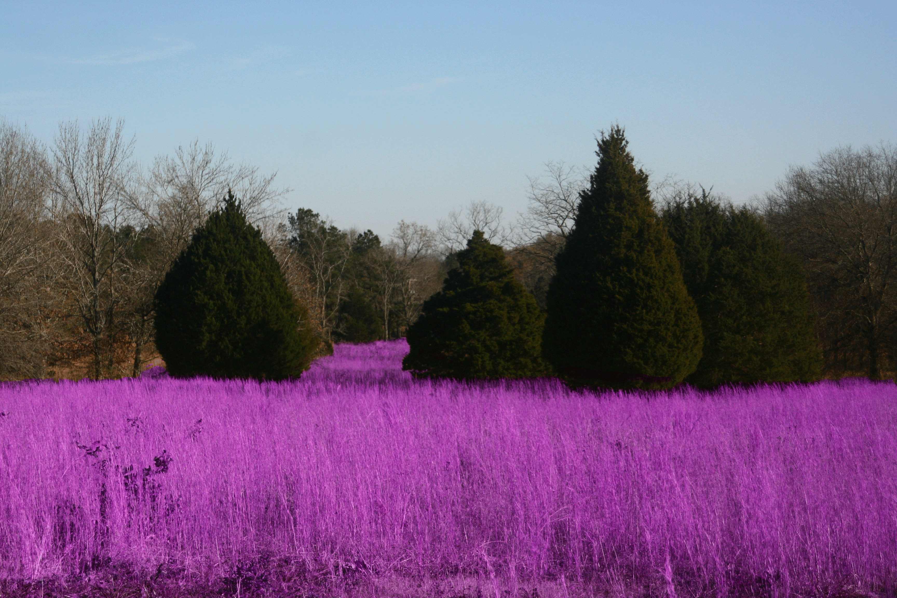
Grass isn't always greener

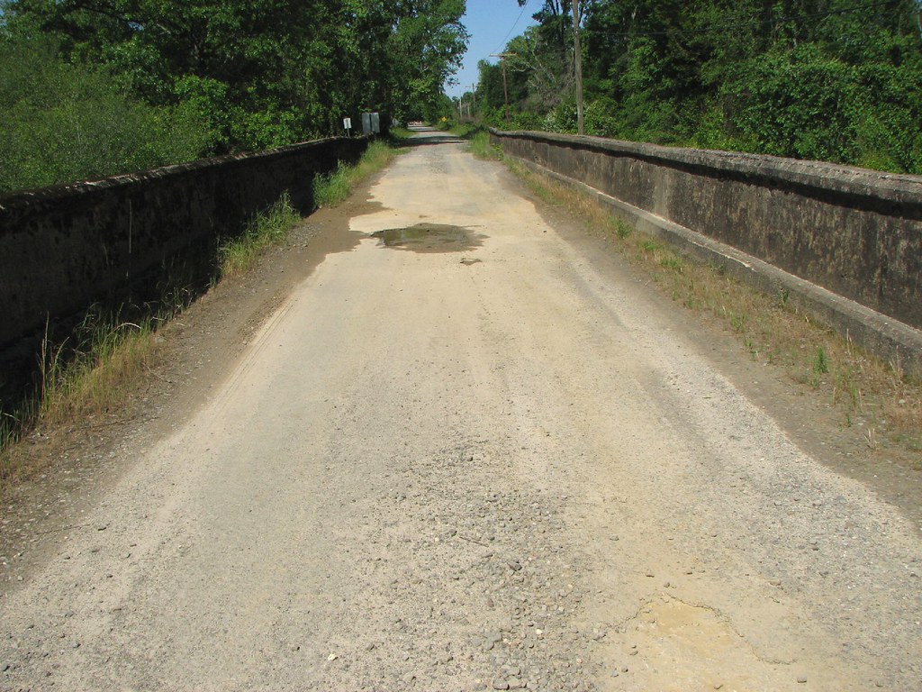
Bull Creek Bridge Remnants
(365)96-The sky after a storm.
Topographic Map of Patty Rd, Ward, AR, USA
Find elevation by address:

Places near Patty Rd, Ward, AR, USA:
Campground Rd, Austin, AR, USA
Oak Grove Township
938 Ray Sowell Rd
52 AR-, Austin, AR, USA
Holly Ln, Austin, AR, USA
E Main St, Cabot, AR, USA
N Emery St, Cabot, AR, USA
Staton Rd, Cabot, AR, USA
30 Woody Ln, Cabot, AR, USA
Honeysuckle Ln, Cabot, AR, USA
Hwy 31, Austin, AR, USA
Butler Township
Eagle Township
Co Rd, Lonoke, AR, USA
Bratton Rd, Lonoke, AR, USA
56 Thunderbird Dr, Cabot, AR, USA
N 2nd St, Cabot, AR, USA
Cabot
AR-38, Ward, AR, USA
75 Russell Rd, Cabot, AR, USA
Recent Searches:
- Elevation of Elwyn Dr, Roanoke Rapids, NC, USA
- Elevation of Congressional Dr, Stevensville, MD, USA
- Elevation of Bellview Rd, McLean, VA, USA
- Elevation of Stage Island Rd, Chatham, MA, USA
- Elevation of Shibuya Scramble Crossing, 21 Udagawacho, Shibuya City, Tokyo -, Japan
- Elevation of Jadagoniai, Kaunas District Municipality, Lithuania
- Elevation of Pagonija rock, Kranto 7-oji g. 8"N, Kaunas, Lithuania
- Elevation of Co Rd 87, Jamestown, CO, USA
- Elevation of Tenjo, Cundinamarca, Colombia
- Elevation of Côte-des-Neiges, Montreal, QC H4A 3J6, Canada