Elevation of Honeysuckle Ln, Cabot, AR, USA
Location: United States > Arkansas > Lonoke County > York Township > Cabot >
Longitude: -91.996238
Latitude: 34.964421
Elevation: 91m / 299feet
Barometric Pressure: 100KPa
Elevation Map:
Satellite Map:
Related Photos:

Meet The Flockers
Birds of a feather...

Left-Face, Scarecrow!

wonky religious views
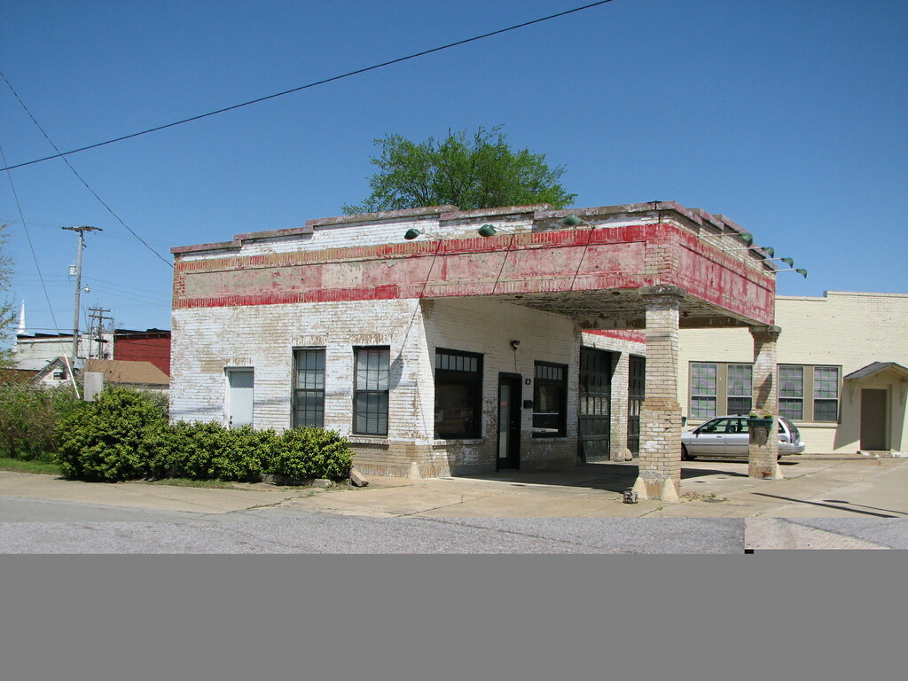
Beebe Esso II
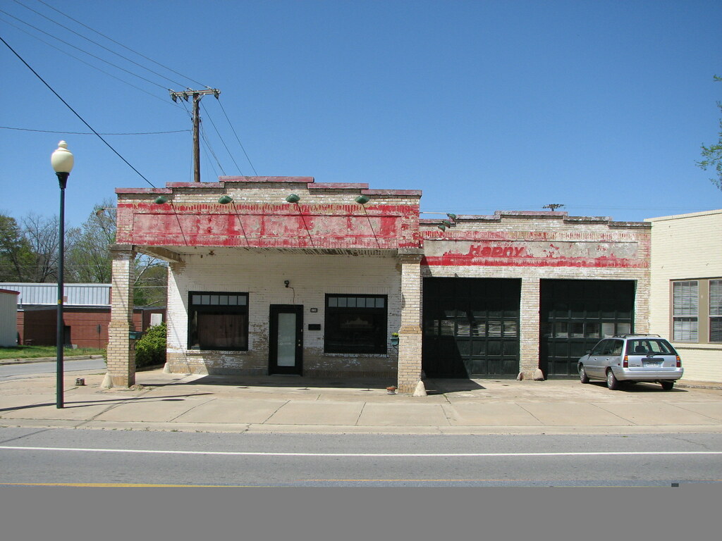
Beebe Esso I

Goodness of Bread and Honey

Another view of this beautiful haircut.????

Winter Photos

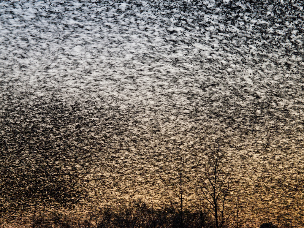
A bunch of birds over Beebe
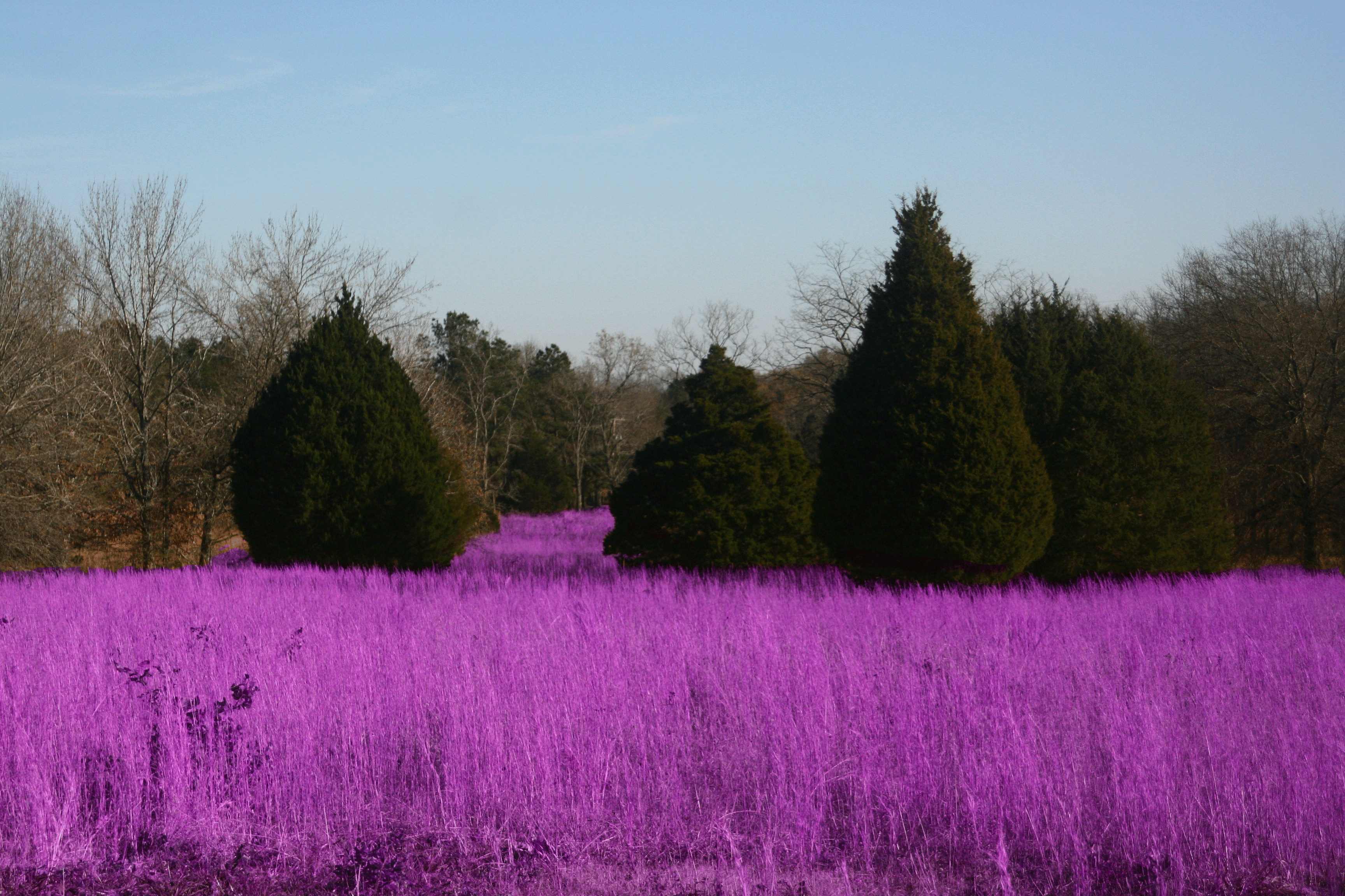
Grass isn't always greener

#mom2monkeysphotography #fishbreakfast #eatingbugs #park #pondlife #pretty #beautiful #breakfast #morning #cabot #canon30d #naturehippy #arkansas #explore #fun #instanaturefriends #notquitefull #simplebeauty #summerbeauty #wild #water
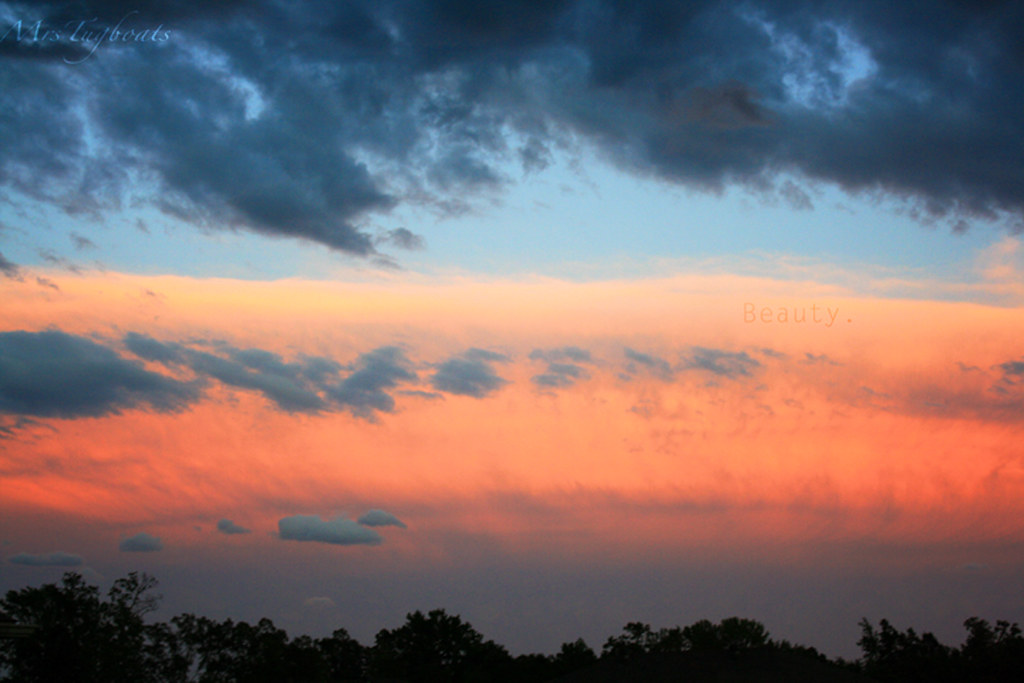
(365)96-The sky after a storm.
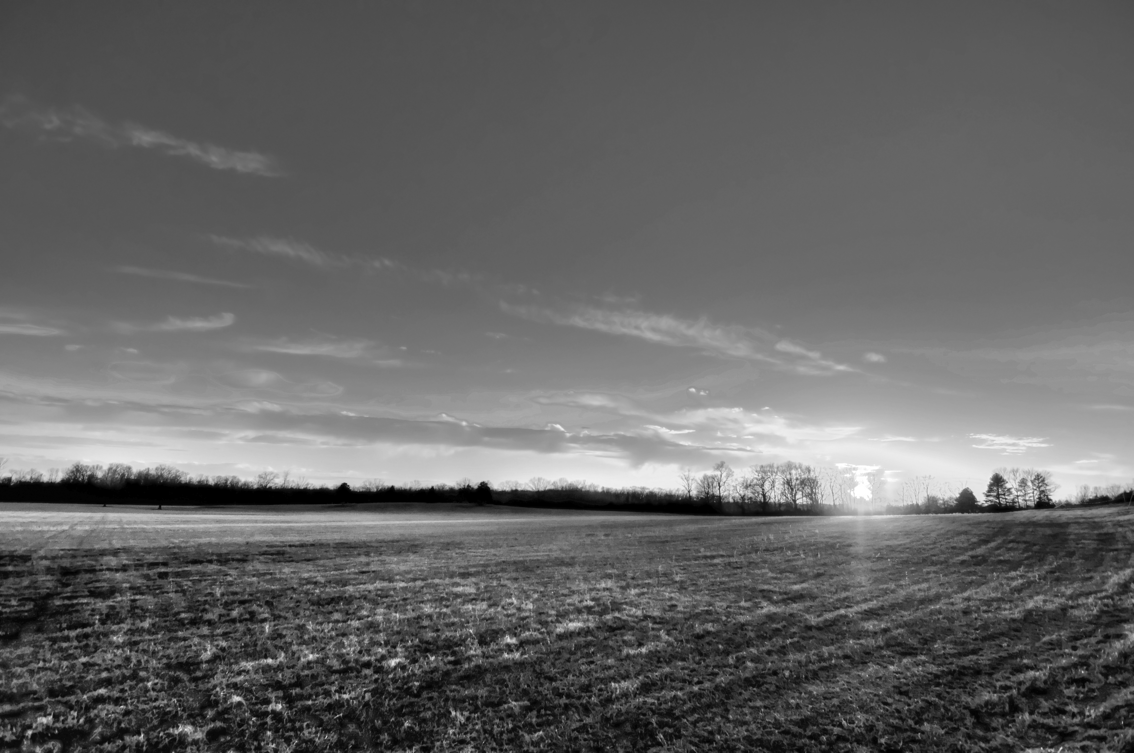
29/365 HDR in black and white
Topographic Map of Honeysuckle Ln, Cabot, AR, USA
Find elevation by address:

Places near Honeysuckle Ln, Cabot, AR, USA:
Staton Rd, Cabot, AR, USA
N 2nd St, Cabot, AR, USA
Cabot
30 Woody Ln, Cabot, AR, USA
56 Thunderbird Dr, Cabot, AR, USA
E Main St, Cabot, AR, USA
19 Paige Ave, Cabot, AR, USA
380 Candlewood Cir
S Candlewood St, Cabot, AR, USA
938 Ray Sowell Rd
Holly Ln, Austin, AR, USA
75 Russell Rd, Cabot, AR, USA
York Township
N Emery St, Cabot, AR, USA
Campground Rd, Austin, AR, USA
Shady Oak Trail, Cabot, AR, USA
Bratton Rd, Lonoke, AR, USA
Patty Rd, Ward, AR, USA
52 AR-, Austin, AR, USA
Eagle Township
Recent Searches:
- Elevation of Elwyn Dr, Roanoke Rapids, NC, USA
- Elevation of Congressional Dr, Stevensville, MD, USA
- Elevation of Bellview Rd, McLean, VA, USA
- Elevation of Stage Island Rd, Chatham, MA, USA
- Elevation of Shibuya Scramble Crossing, 21 Udagawacho, Shibuya City, Tokyo -, Japan
- Elevation of Jadagoniai, Kaunas District Municipality, Lithuania
- Elevation of Pagonija rock, Kranto 7-oji g. 8"N, Kaunas, Lithuania
- Elevation of Co Rd 87, Jamestown, CO, USA
- Elevation of Tenjo, Cundinamarca, Colombia
- Elevation of Côte-des-Neiges, Montreal, QC H4A 3J6, Canada