Elevation of Candlewood Cir, Cabot, AR, USA
Location: United States > Arkansas > Lonoke County > York Township > Cabot >
Longitude: -92.013832
Latitude: 34.9339352
Elevation: -10000m / -32808feet
Barometric Pressure: 295KPa
Elevation Map:
Satellite Map:
Related Photos:

Left-Face, Scarecrow!

wonky religious views

Goodness of Bread and Honey

29/365 HDR in black and white

This old house.

(365)96-The sky after a storm.

Realized the other day that 90% of my shots are outdoors. I'm OK with that—I'd rather be outdoors 90% of the time.
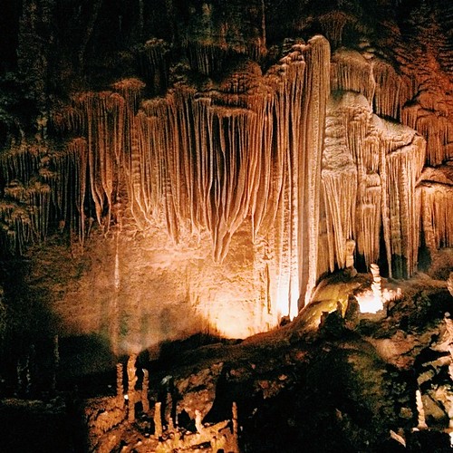
I took Liam to some pretty neat caverns yesterday. It was his first time; he loved it. They weren't allowing anyone to take anything inside the caves because of the bat's White-Nose Syndrome, but... #cavestagram

New Hwy 67 Cabot interchange

Little Rock, Arkansas
Topographic Map of Candlewood Cir, Cabot, AR, USA
Find elevation by address:

Places near Candlewood Cir, Cabot, AR, USA:
S Candlewood St, Cabot, AR, USA
56 Thunderbird Dr, Cabot, AR, USA
75 Russell Rd, Cabot, AR, USA
30 Woody Ln, Cabot, AR, USA
19 Paige Ave, Cabot, AR, USA
Shady Oak Trail, Cabot, AR, USA
Honeysuckle Ln, Cabot, AR, USA
York Township
Cabot
N 2nd St, Cabot, AR, USA
Staton Rd, Cabot, AR, USA
6350 Kerr Station Rd
Bratton Rd, Lonoke, AR, USA
6809 Ar-89
Carrington Rd, Cabot, AR, USA
Goodrum Township
E Main St, Cabot, AR, USA
N Emery St, Cabot, AR, USA
Holly Ln, Austin, AR, USA
AR-89, Lonoke, AR, USA
Recent Searches:
- Elevation of 6 Rue Jules Ferry, Beausoleil, France
- Elevation of Sattva Horizon, 4JC6+G9P, Vinayak Nagar, Kattigenahalli, Bengaluru, Karnataka, India
- Elevation of Great Brook Sports, Gold Star Hwy, Groton, CT, USA
- Elevation of 10 Mountain Laurels Dr, Nashua, NH, USA
- Elevation of 16 Gilboa Ln, Nashua, NH, USA
- Elevation of Laurel Rd, Townsend, TN, USA
- Elevation of 3 Nestling Wood Dr, Long Valley, NJ, USA
- Elevation of Ilungu, Tanzania
- Elevation of Yellow Springs Road, Yellow Springs Rd, Chester Springs, PA, USA
- Elevation of Rēzekne Municipality, Latvia