Elevation of Rattlesnake Ridge, New Mexico, USA
Location: United States > New Mexico > Luna County > Deming >
Longitude: -107.73416
Latitude: 32.5066666
Elevation: 2310m / 7579feet
Barometric Pressure: 76KPa
Elevation Map:
Satellite Map:
Related Photos:
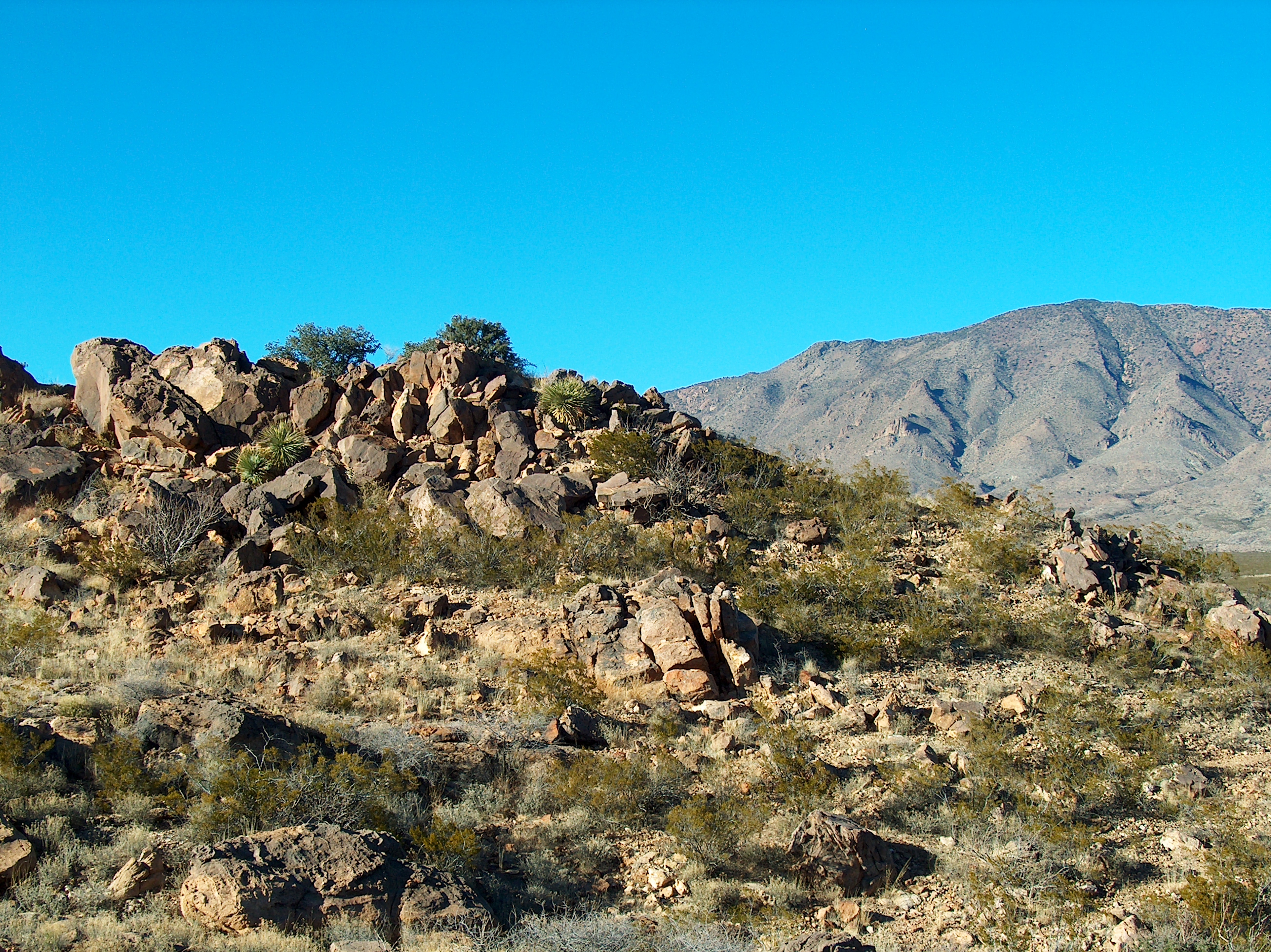
Ft. Cummings
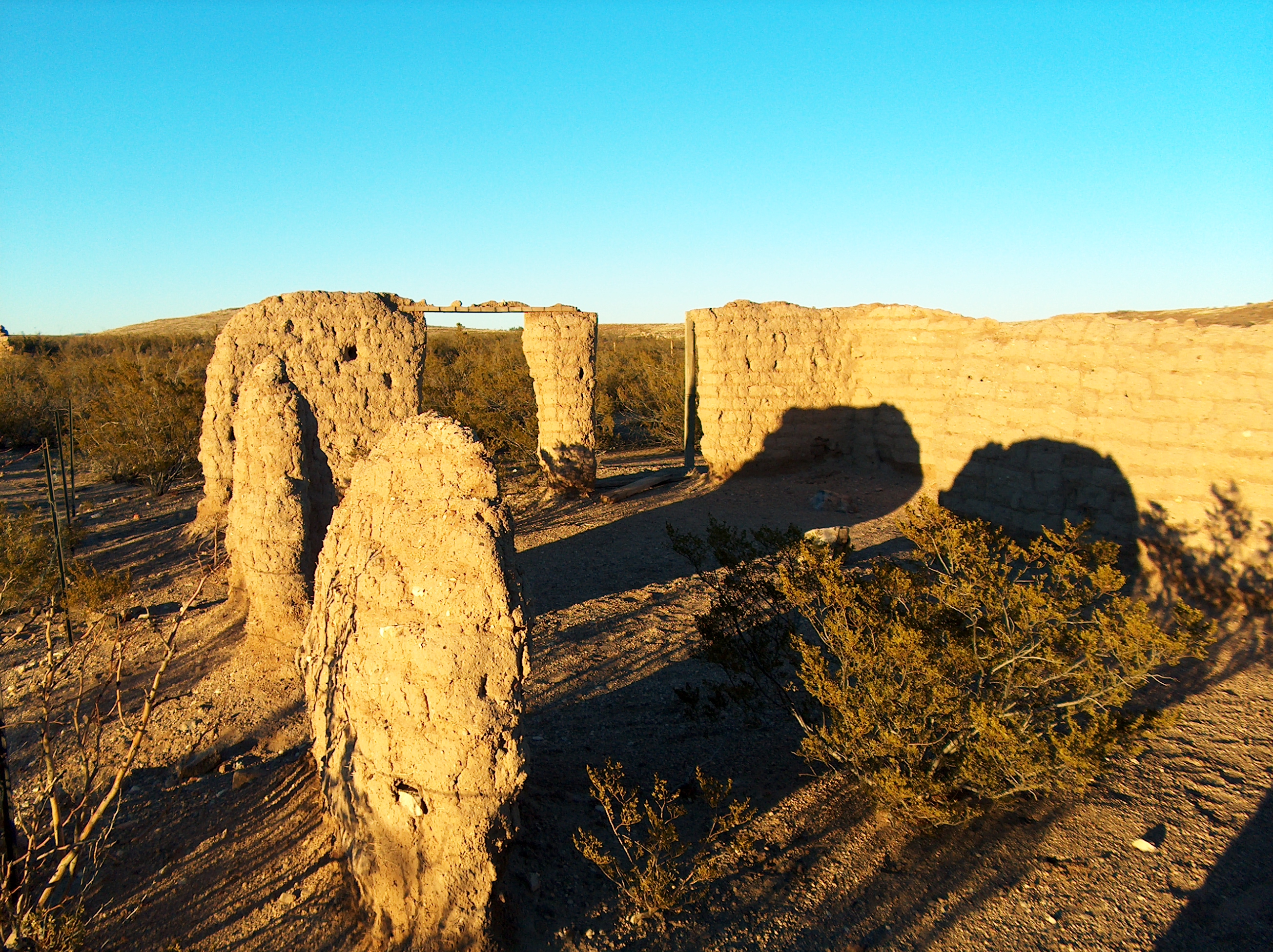
Ft. Cummings
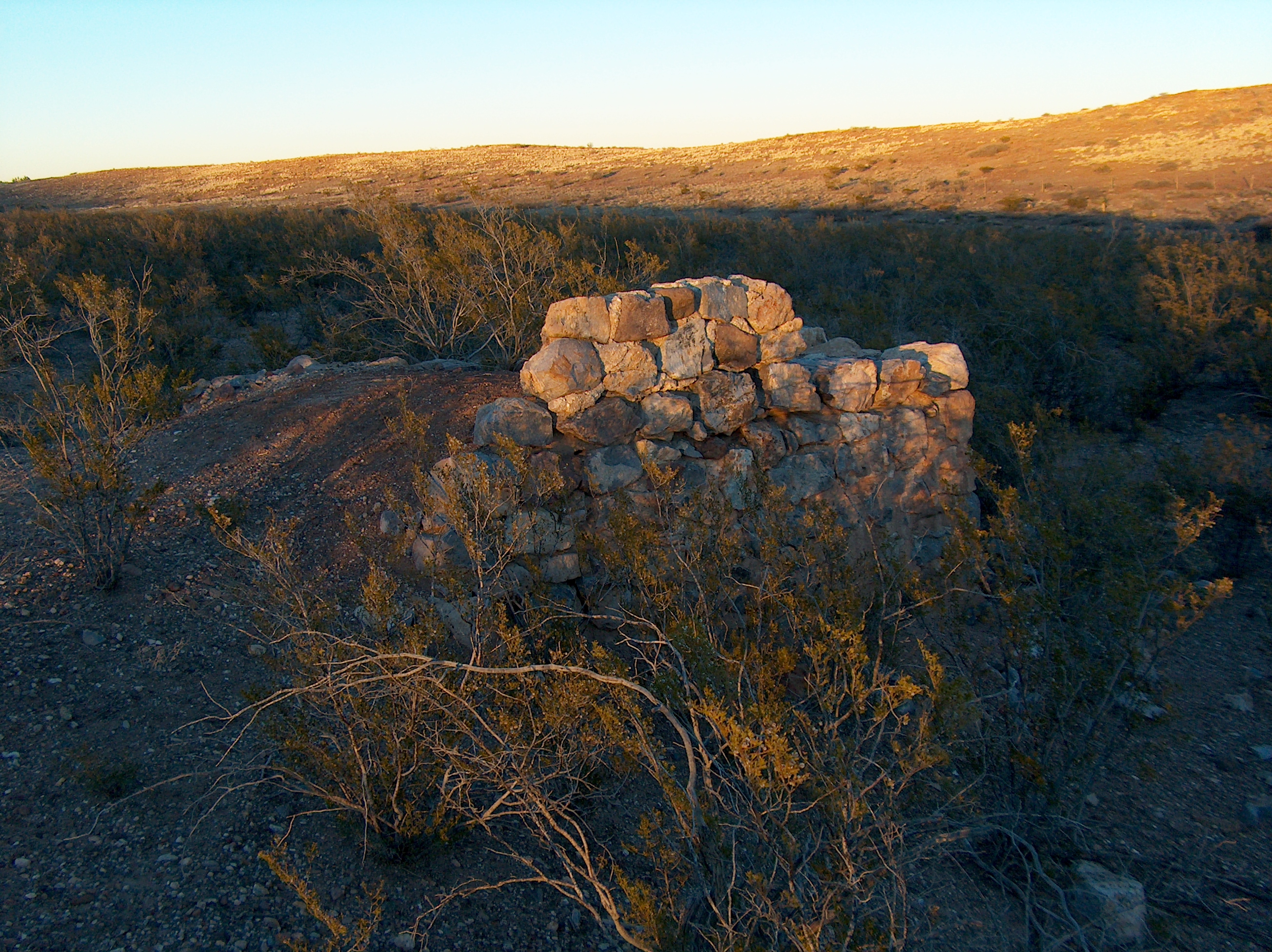
Ft. Cummings
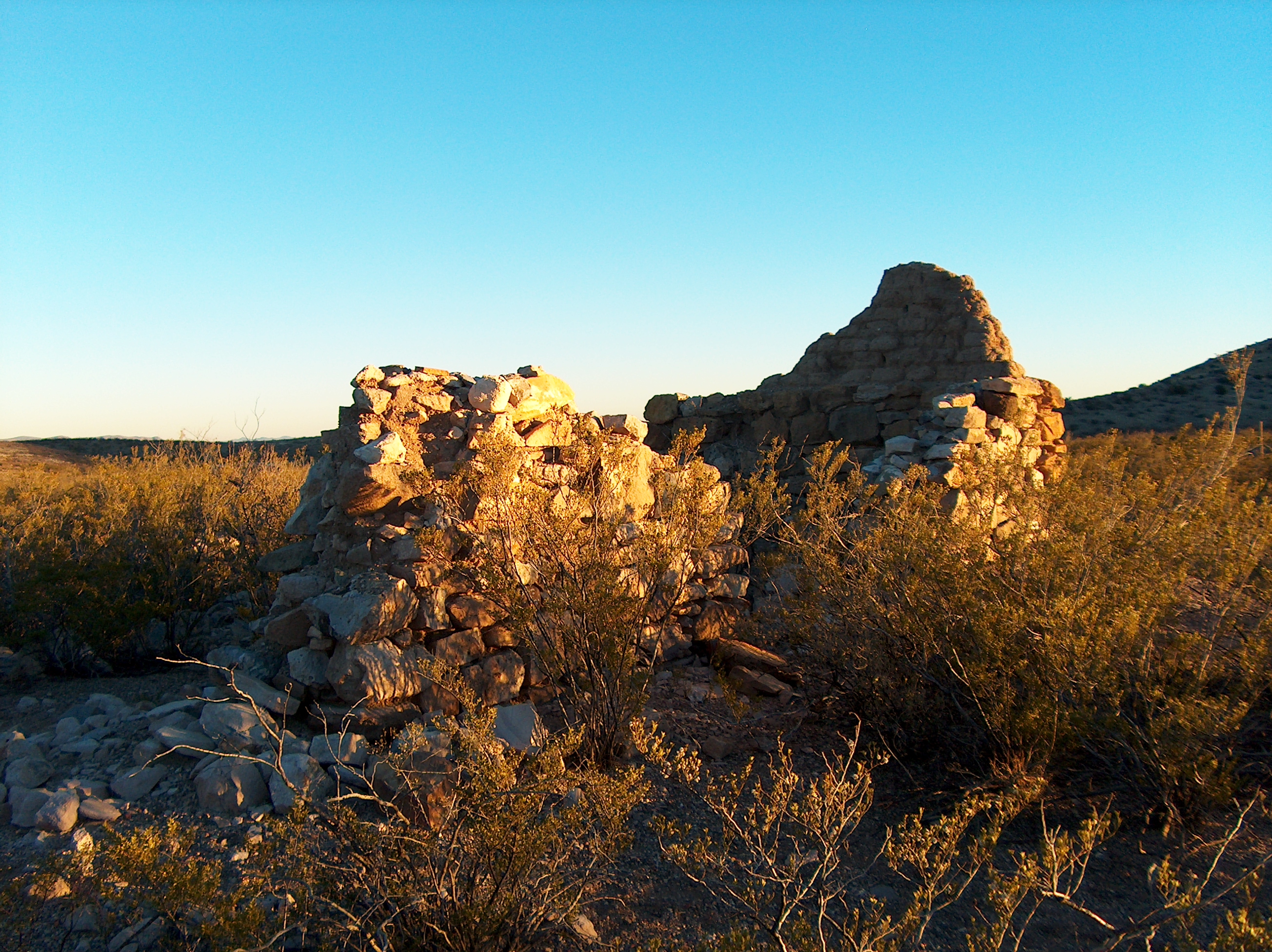
Ft. Cummings
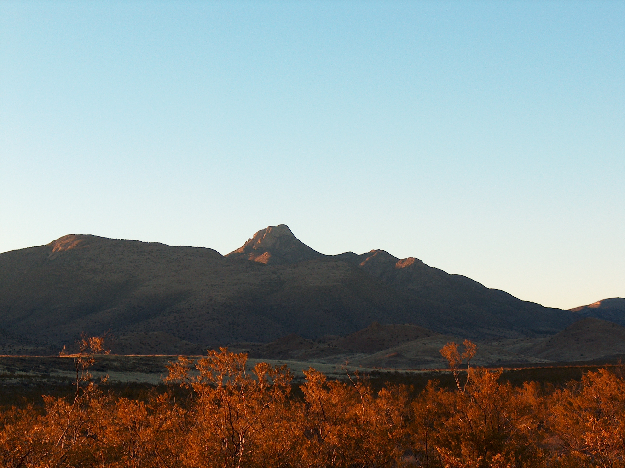
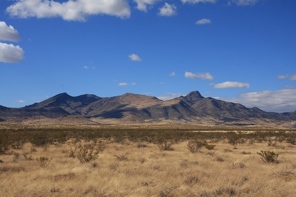
Pony Hills
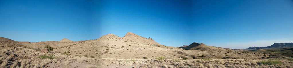
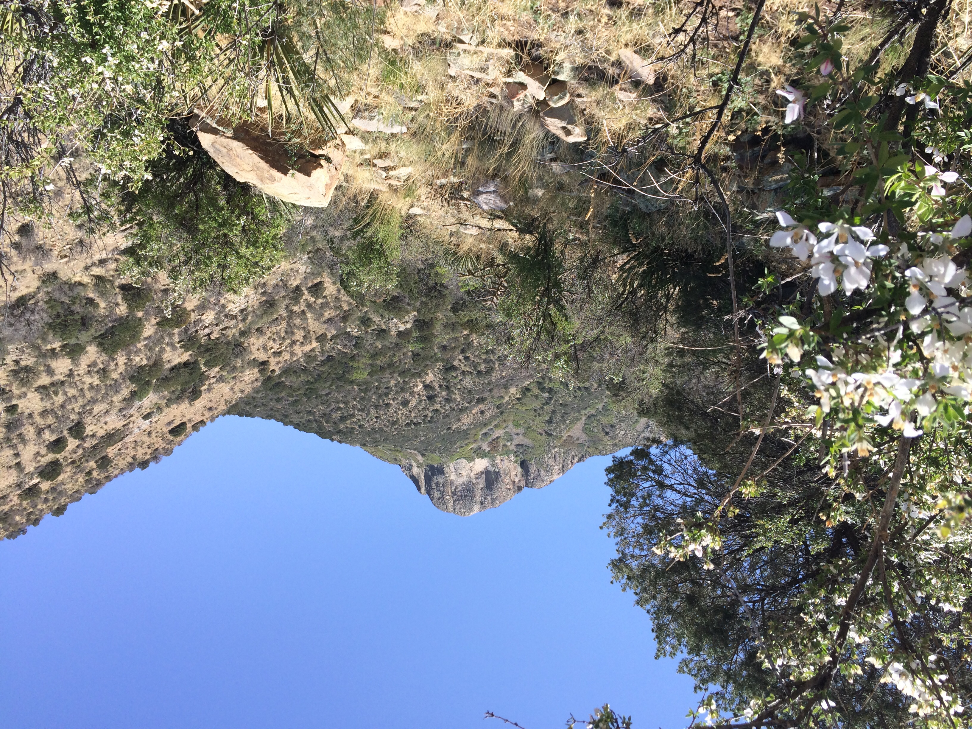
Massacre Peak Panorama
Ft. Cummings
Pony Hills
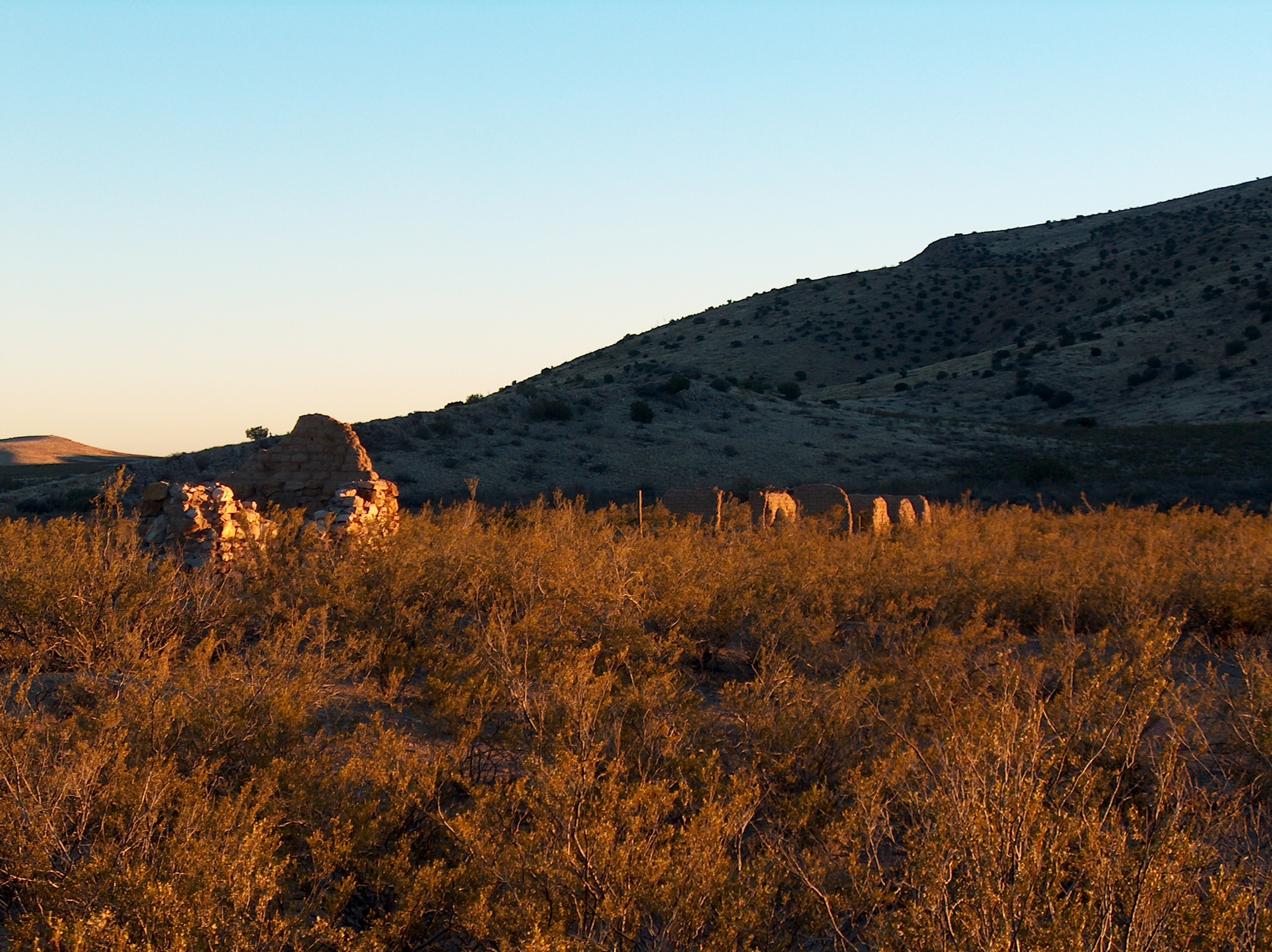
Ft. Cummings
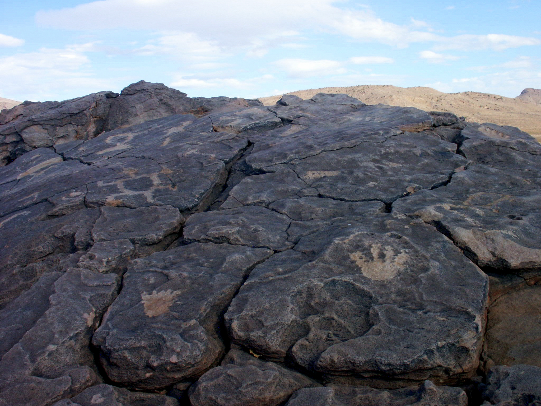
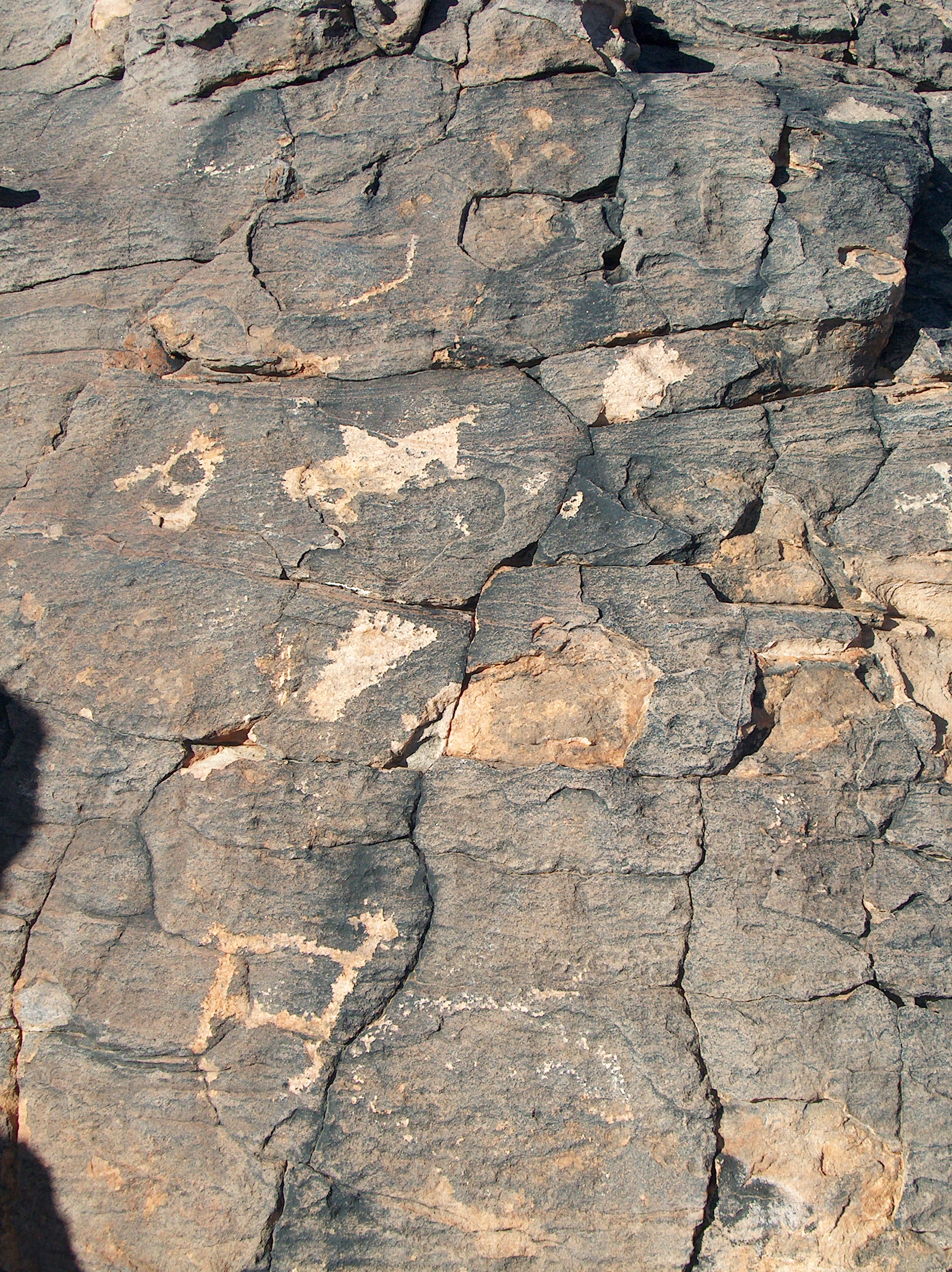
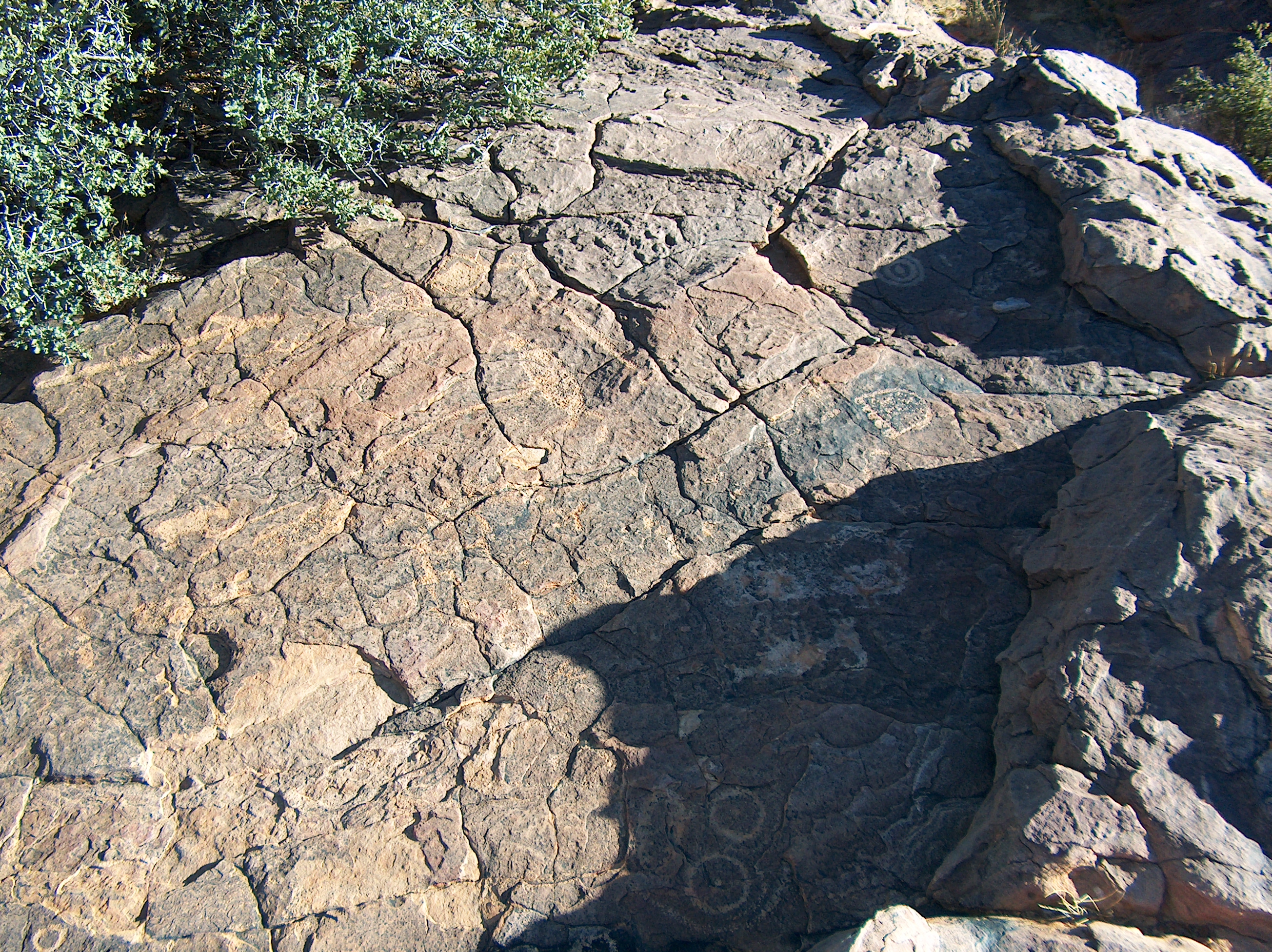
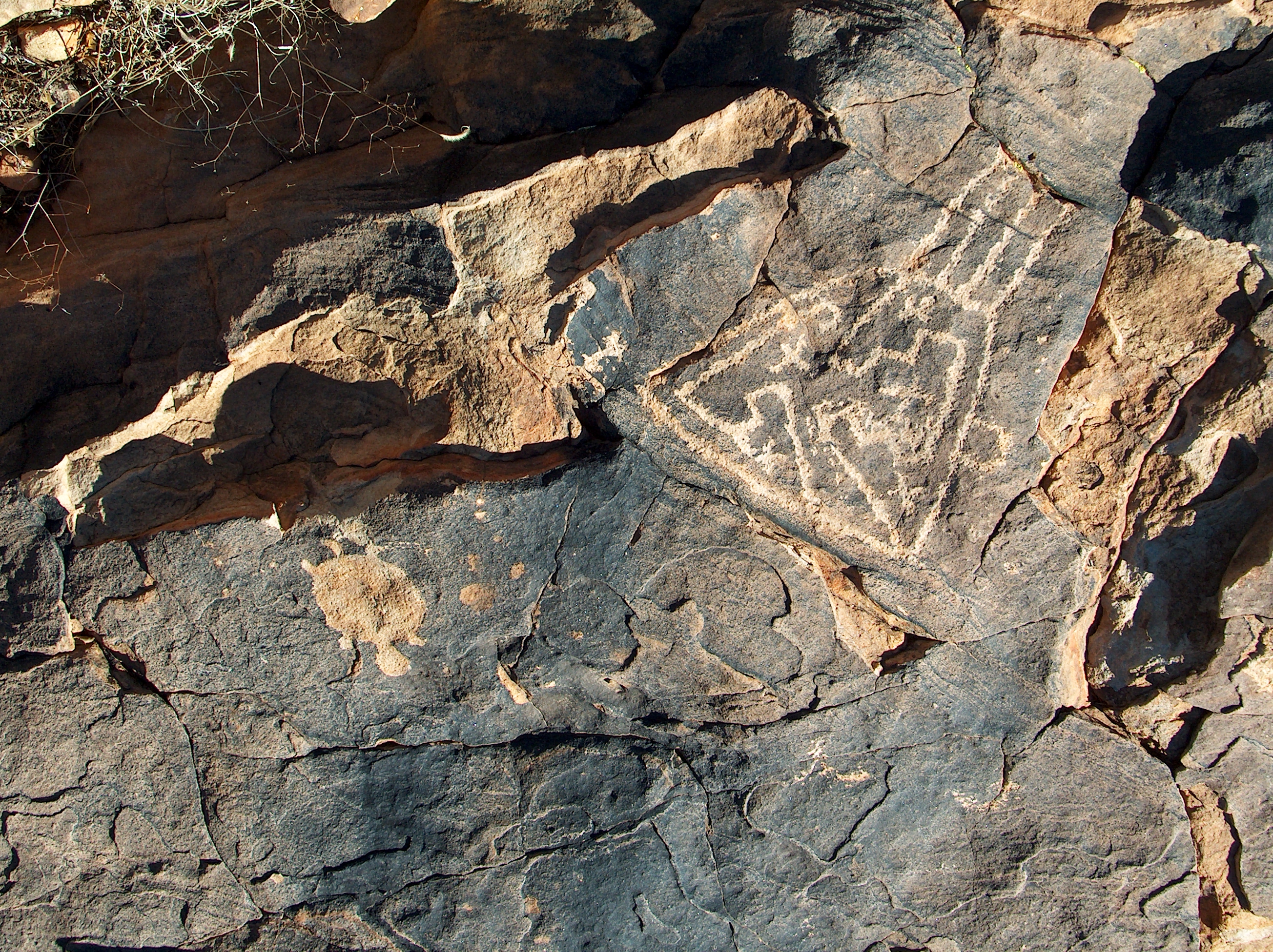
Pony Hills Footprints
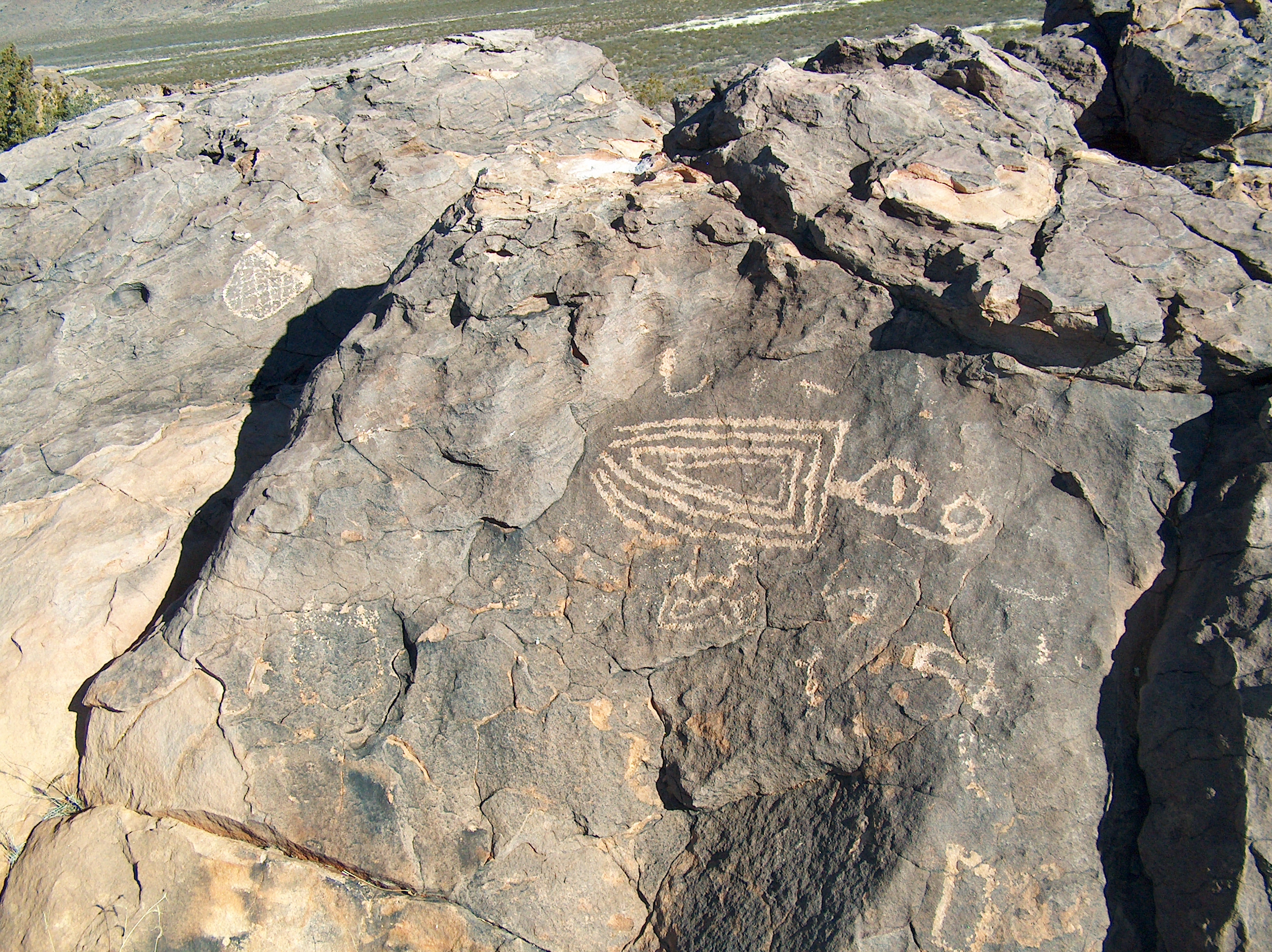
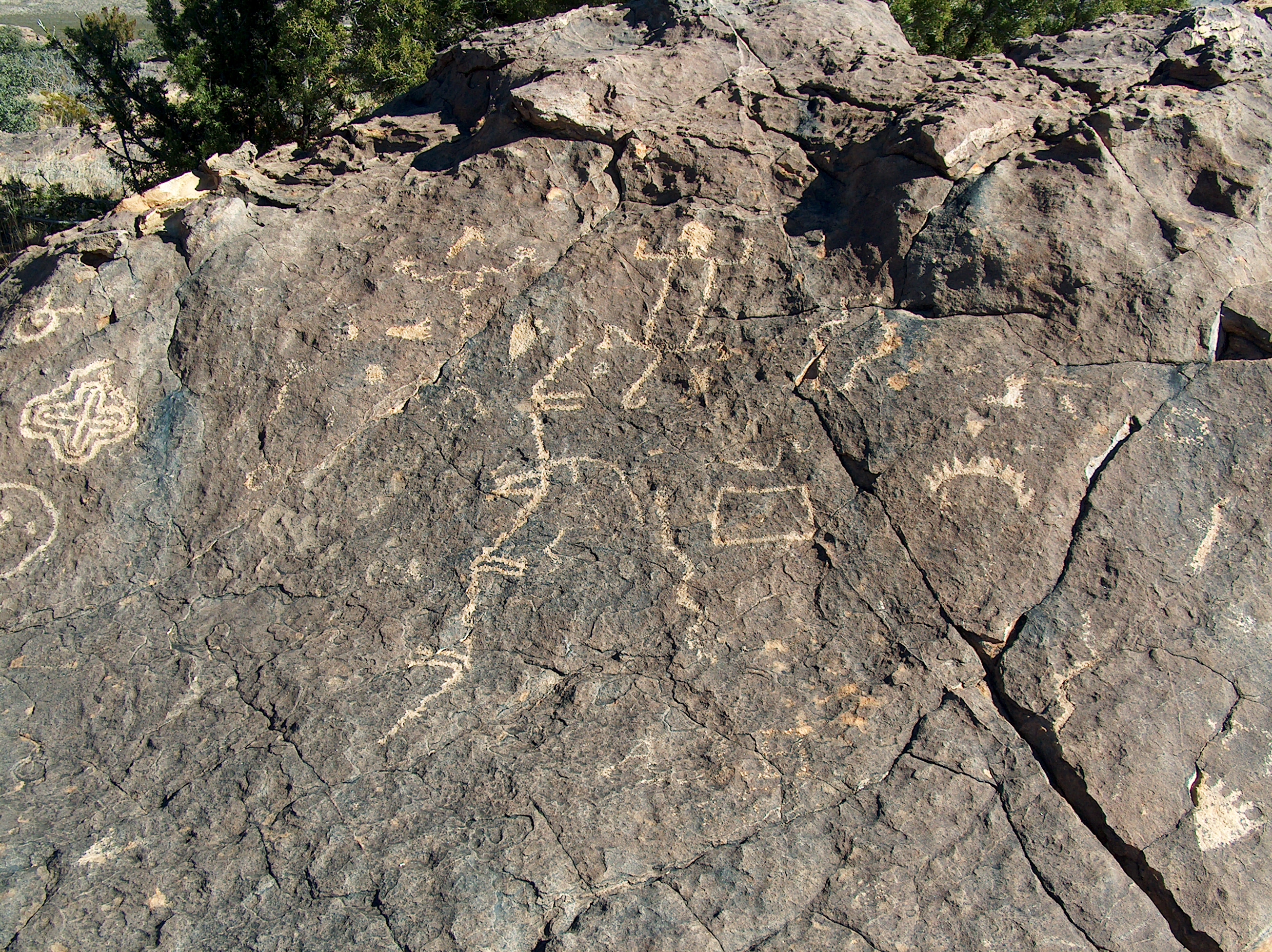
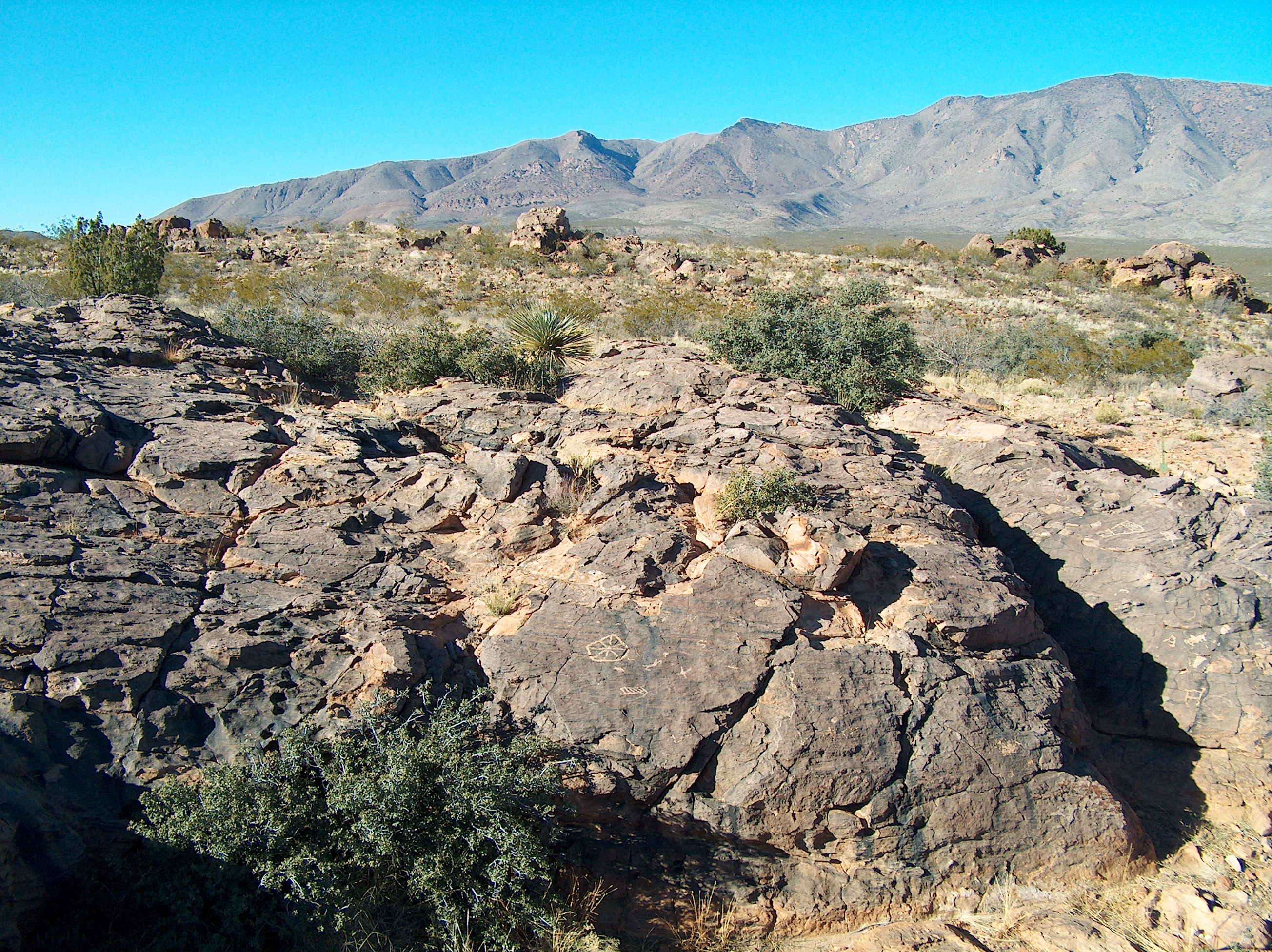
Pony Hills
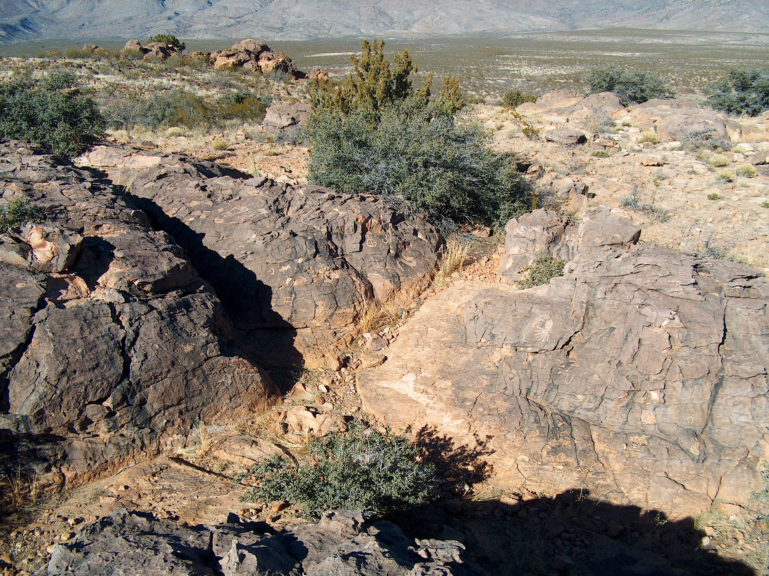
Pony Hills
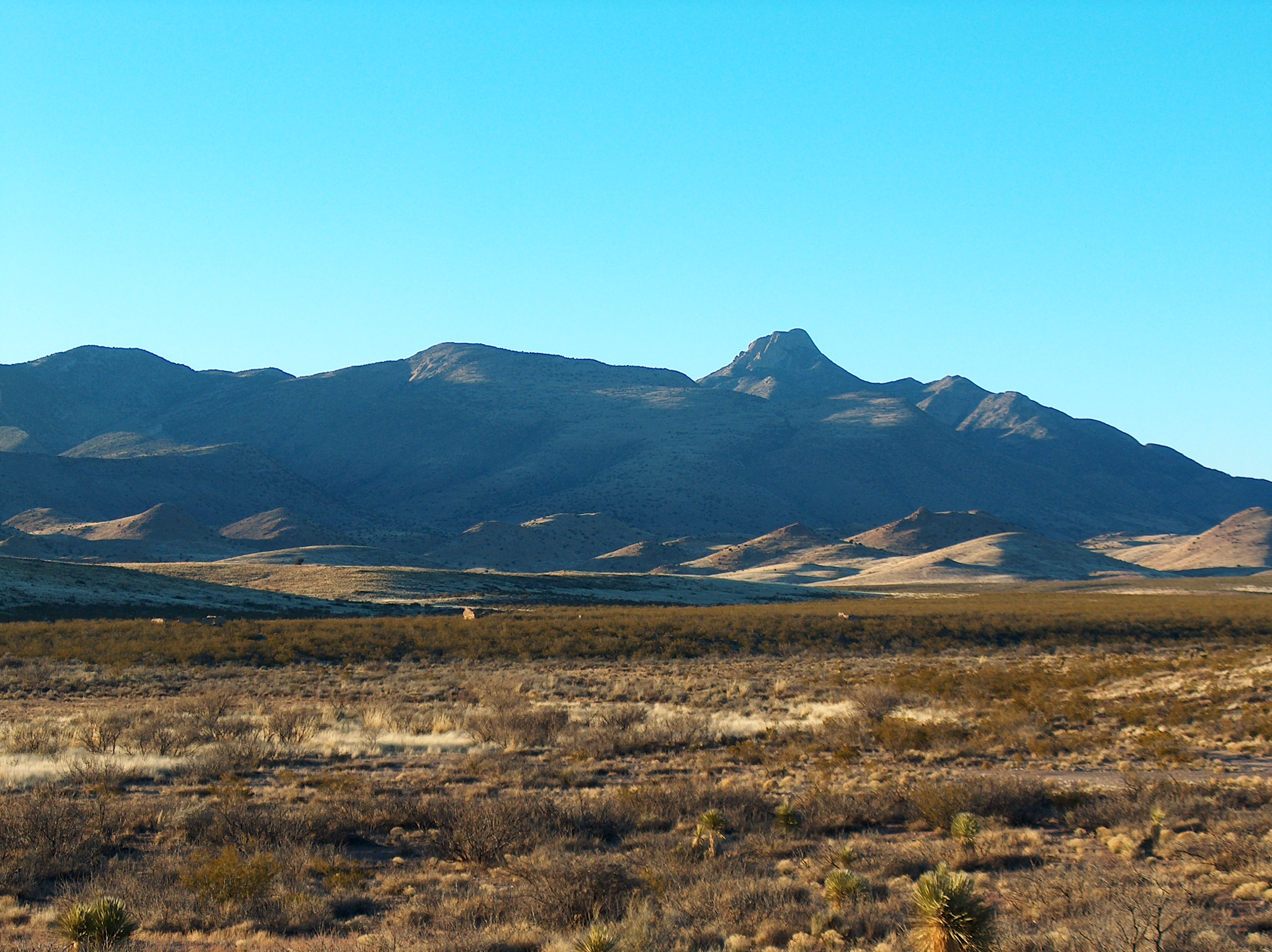
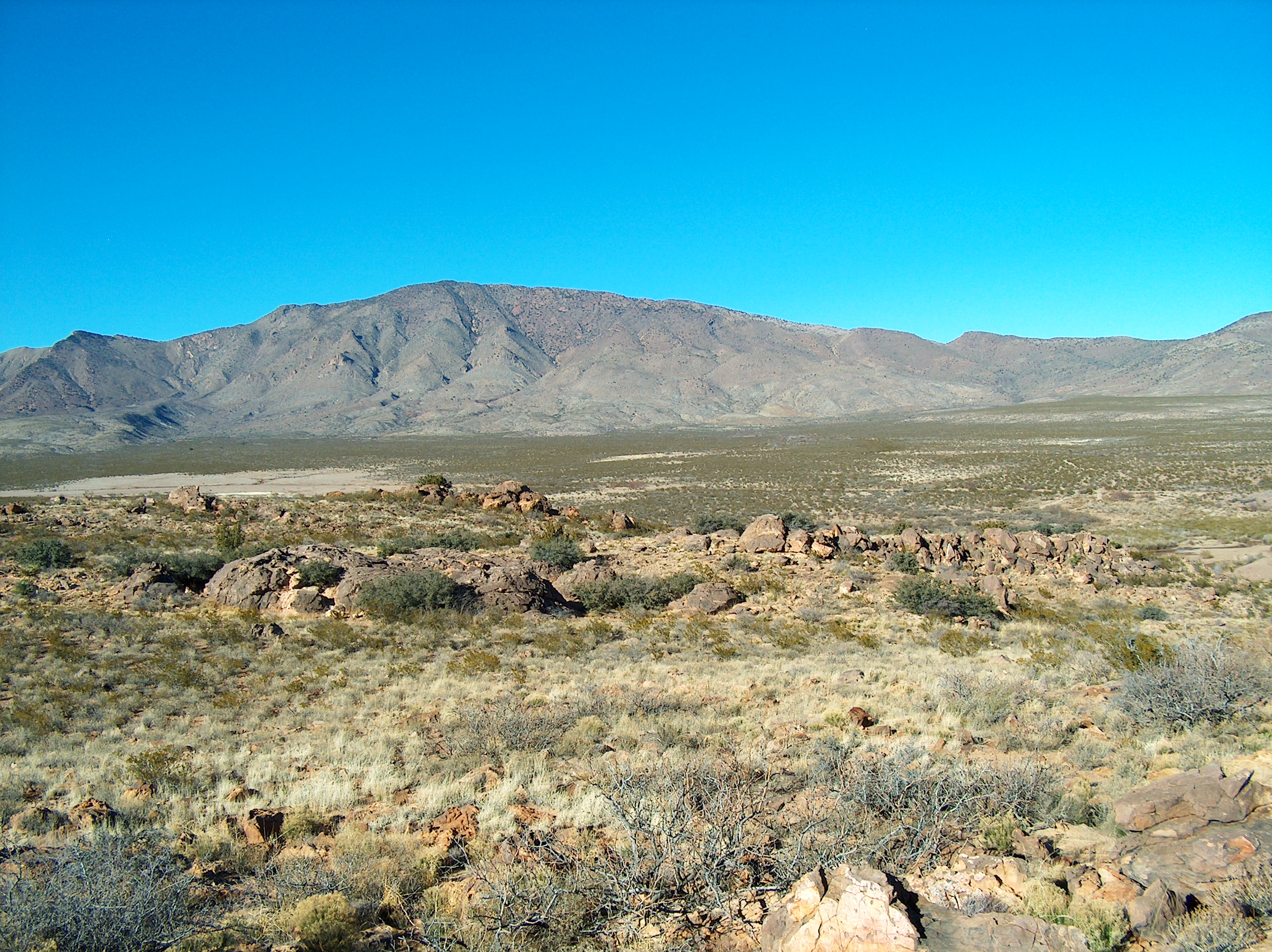
Cookes Pk, NM
Pony Hills
Pony Hills
Pony Hills
Pony Hills
Pony Hills
Phlox nana site in Cooke's Range, New Mexico

Hills in the background

Wall E
Topographic Map of Rattlesnake Ridge, New Mexico, USA
Find elevation by address:

Places near Rattlesnake Ridge, New Mexico, USA:
Cookes Peak
Mule Springs Peak
Dwyer Road
Whiterock Mountain
2177 Nm-61
2177 Nm-61
Lee Mountain
Town Mountain
43 Comesco Trail
Lake Valley
165 Royal John Mine Rd
NM-61, Hanover, NM, USA
Mimbres Peak
Berrenda Mountain South
Berrenda Mountain North
San Lorenzo
Mcclede Mountain
20 Rainbow Rd
20 Rainbow Rd
Sibley Mountain South
Recent Searches:
- Elevation of Corso Fratelli Cairoli, 35, Macerata MC, Italy
- Elevation of Tallevast Rd, Sarasota, FL, USA
- Elevation of 4th St E, Sonoma, CA, USA
- Elevation of Black Hollow Rd, Pennsdale, PA, USA
- Elevation of Oakland Ave, Williamsport, PA, USA
- Elevation of Pedrógão Grande, Portugal
- Elevation of Klee Dr, Martinsburg, WV, USA
- Elevation of Via Roma, Pieranica CR, Italy
- Elevation of Tavkvetili Mountain, Georgia
- Elevation of Hartfords Bluff Cir, Mt Pleasant, SC, USA