Elevation of Purcell, OK, USA
Location: United States > Oklahoma > Mcclain County >
Longitude: -97.361139
Latitude: 35.0136831
Elevation: 335m / 1099feet
Barometric Pressure: 97KPa
Elevation Map:
Satellite Map:
Related Photos:
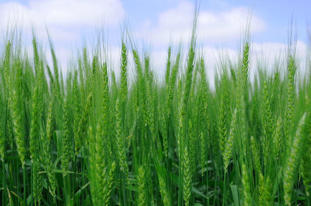
Spring Wheat

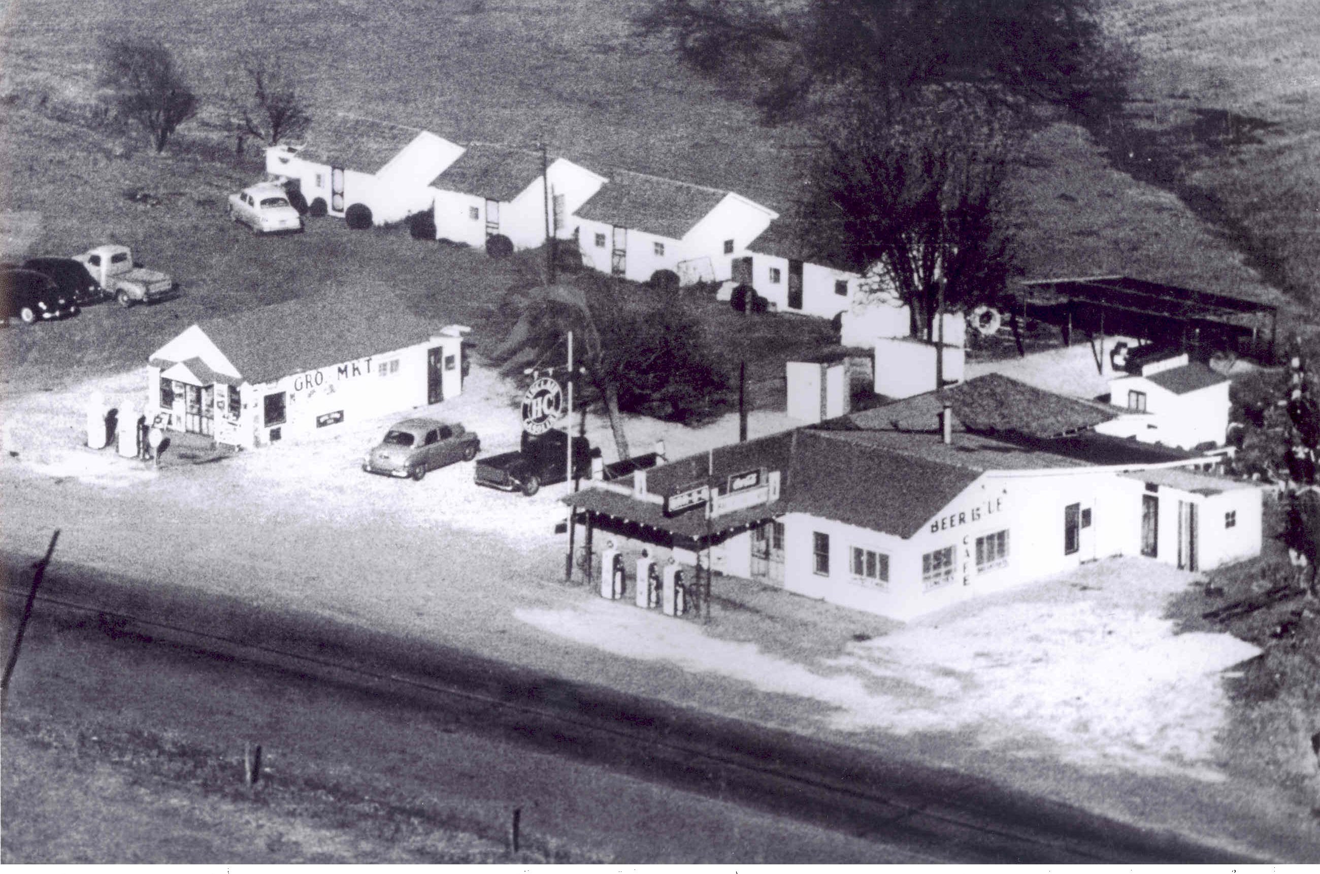
And now, the nostalgic view
A break in the view
Aerial view of Street
Yield Giant

Noble_July 19, 2014_07_19042-Pano.jpg

2011-05-13_5906

BETTER THAN THE LOG RIDE AT DISNEY WORLD

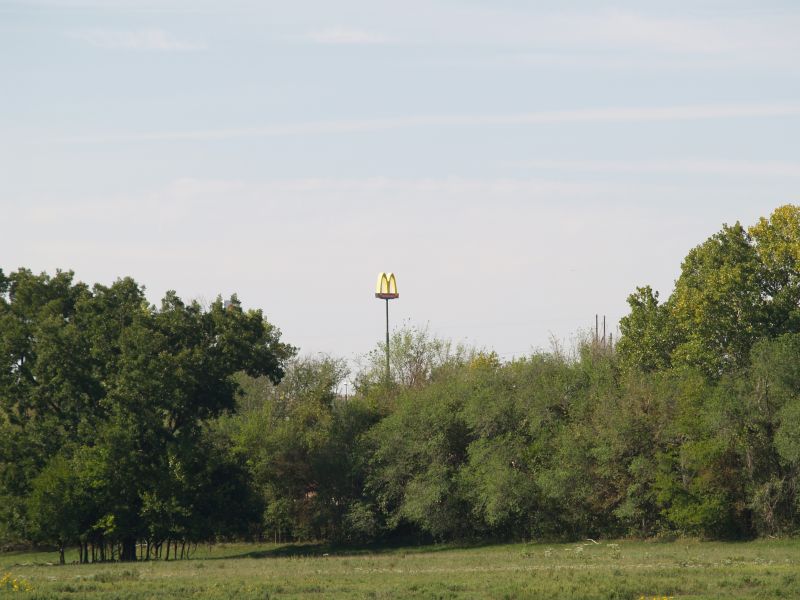
Oklahoma landscape

On the river #sunset #sundogtrails #mextures #kawasaki #teryx #river
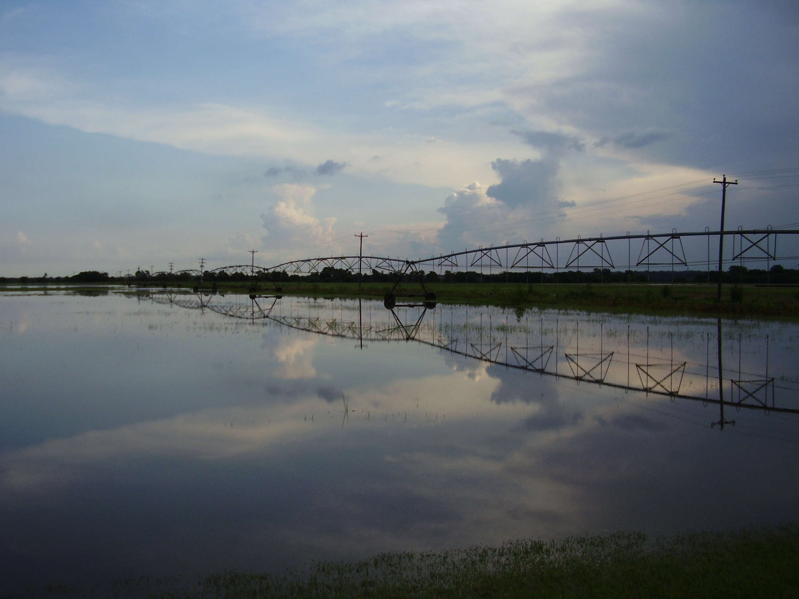
bird and july 10 flood 020

2011-05-13_5908

Lukes Pond day 2-6919.jpg

Duck Hunt

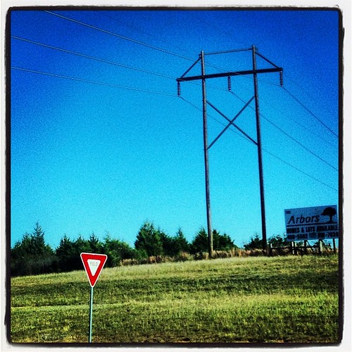
Driving through south central Oklahoma

Purcell Sunrise
Topographic Map of Purcell, OK, USA
Find elevation by address:

Places in Purcell, OK, USA:
Places near Purcell, OK, USA:
W Adams St, Purcell, OK, USA
Lexington
6250 Slaughterville Rd
10500 48th St
th St, Wayne, OK, USA
Wayne
Mcclain County
th St, Lexington, OK, USA
Goldsby
OK-39, Wanette, OK, USA
Oklahoma
Dibble
Garvin County
Blanchard
Wanette
Bradley
Main St, Bradley, OK, USA
Old Town 1st St, Blanchard, OK, USA
County Road 1500
Wynnewood
Recent Searches:
- Elevation of Corso Fratelli Cairoli, 35, Macerata MC, Italy
- Elevation of Tallevast Rd, Sarasota, FL, USA
- Elevation of 4th St E, Sonoma, CA, USA
- Elevation of Black Hollow Rd, Pennsdale, PA, USA
- Elevation of Oakland Ave, Williamsport, PA, USA
- Elevation of Pedrógão Grande, Portugal
- Elevation of Klee Dr, Martinsburg, WV, USA
- Elevation of Via Roma, Pieranica CR, Italy
- Elevation of Tavkvetili Mountain, Georgia
- Elevation of Hartfords Bluff Cir, Mt Pleasant, SC, USA