Elevation of Lexington, OK, USA
Location: United States > Oklahoma > Cleveland County >
Longitude: -97.335583
Latitude: 35.0147945
Elevation: 315m / 1033feet
Barometric Pressure: 98KPa
Elevation Map:
Satellite Map:
Related Photos:

Spring Wheat
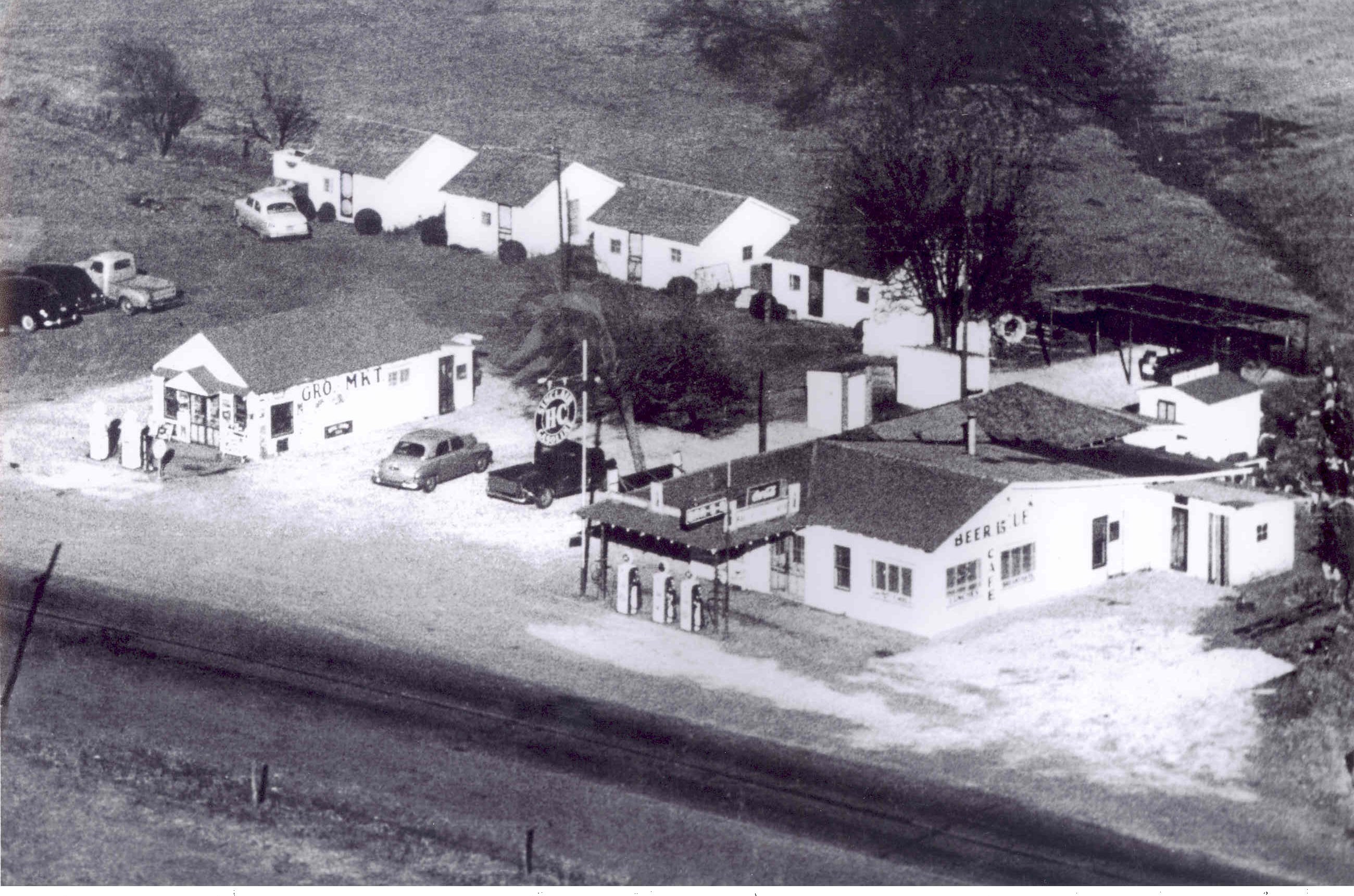
Aerial view of Street
A break in the view

Noble_July 19, 2014_07_19042-Pano.jpg

Oklahoma landscape
Yield Giant

2011-05-13_5906
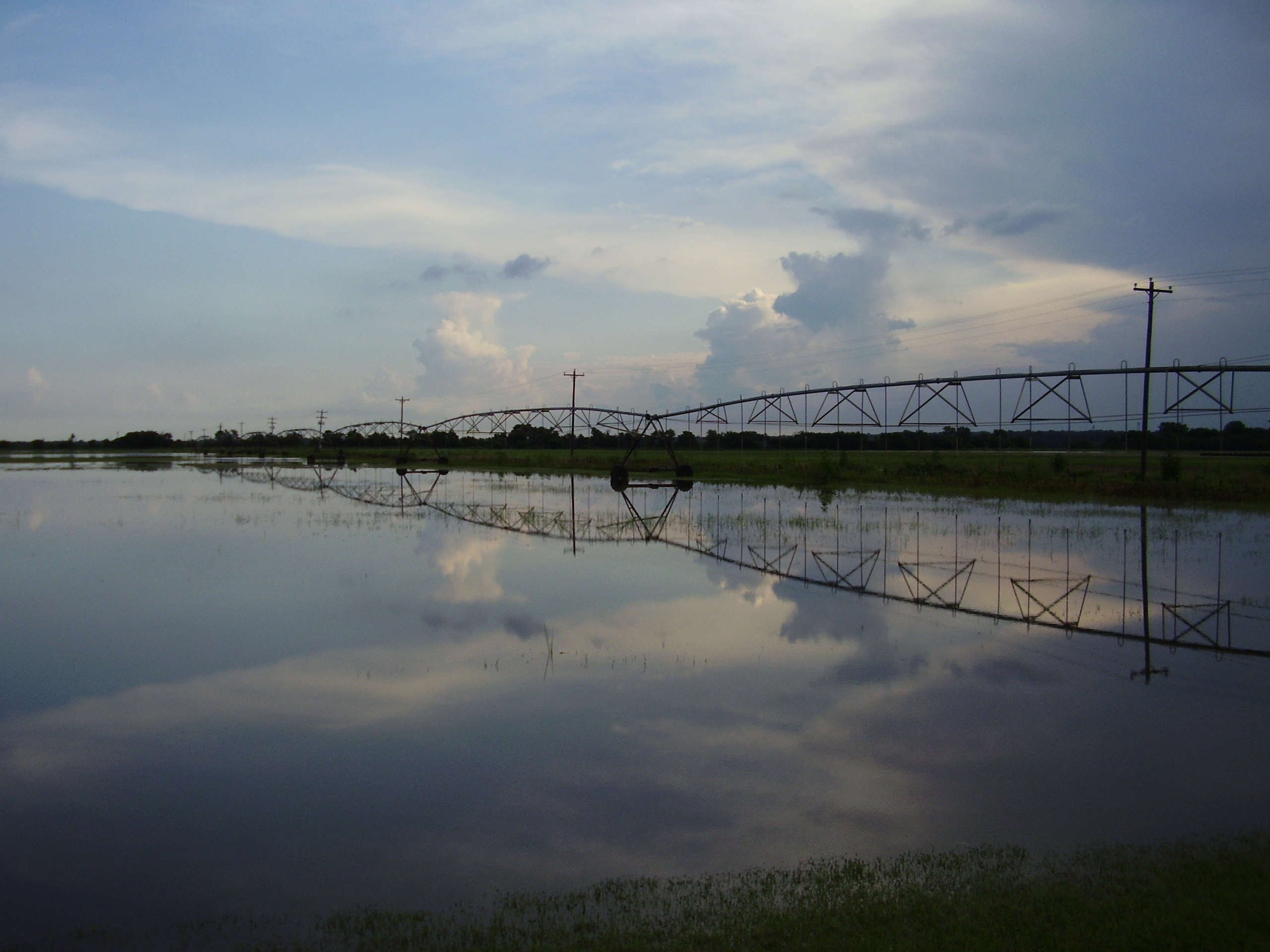
bird and july 10 flood 020

On the river #sunset #sundogtrails #mextures #kawasaki #teryx #river

2011-05-13_5908

Purcell Sunrise

Duck Hunt

Driving through south central Oklahoma

South Canadian River #sunset #river #mexturescollective #mextures #sundogtrails

Lukes Pond day 2-6919.jpg

BETTER THAN THE LOG RIDE AT DISNEY WORLD
Topographic Map of Lexington, OK, USA
Find elevation by address:

Places near Lexington, OK, USA:
Purcell
W Adams St, Purcell, OK, USA
10500 48th St
Wayne
th St, Wayne, OK, USA
th St, Lexington, OK, USA
Mcclain County
Goldsby
OK-39, Wanette, OK, USA
Oklahoma
Garvin County
Dibble
Wanette
Blanchard
Bradley
Main St, Bradley, OK, USA
Wynnewood
Old Town 1st St, Blanchard, OK, USA
County Road 1500
Cox City Rd, Rush Springs, OK, USA
Recent Searches:
- Elevation of Felindre, Swansea SA5 7LU, UK
- Elevation of Leyte Industrial Development Estate, Isabel, Leyte, Philippines
- Elevation of W Granada St, Tampa, FL, USA
- Elevation of Pykes Down, Ivybridge PL21 0BY, UK
- Elevation of Jalan Senandin, Lutong, Miri, Sarawak, Malaysia
- Elevation of Bilohirs'k
- Elevation of 30 Oak Lawn Dr, Barkhamsted, CT, USA
- Elevation of Luther Road, Luther Rd, Auburn, CA, USA
- Elevation of Unnamed Road, Respublika Severnaya Osetiya — Alaniya, Russia
- Elevation of Verkhny Fiagdon, North Ossetia–Alania Republic, Russia