Elevation of McClain County, OK, USA
Location: United States > Oklahoma >
Longitude: -97.4814163
Latitude: 35.0282316
Elevation: 357m / 1171feet
Barometric Pressure: 0KPa
Related Photos:

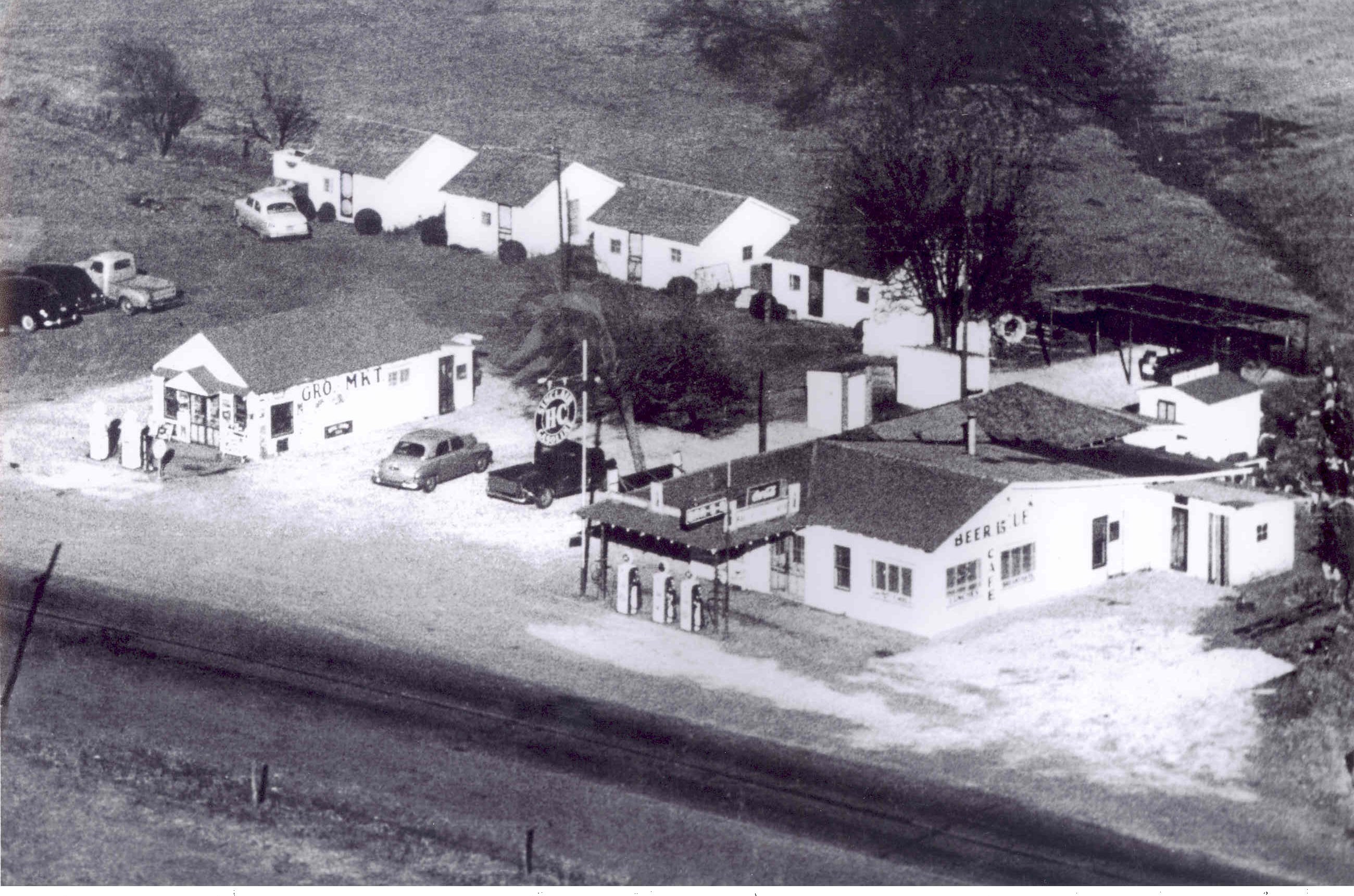
And now, the nostalgic view
A break in the view
Aerial view of Street

mammatas lightning IMG_1635a
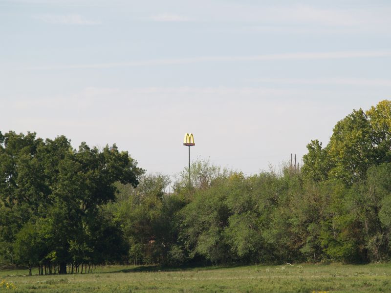
Yield Giant

BETTER THAN THE LOG RIDE AT DISNEY WORLD

Oklahoma landscape

On the river #sunset #sundogtrails #mextures #kawasaki #teryx #river
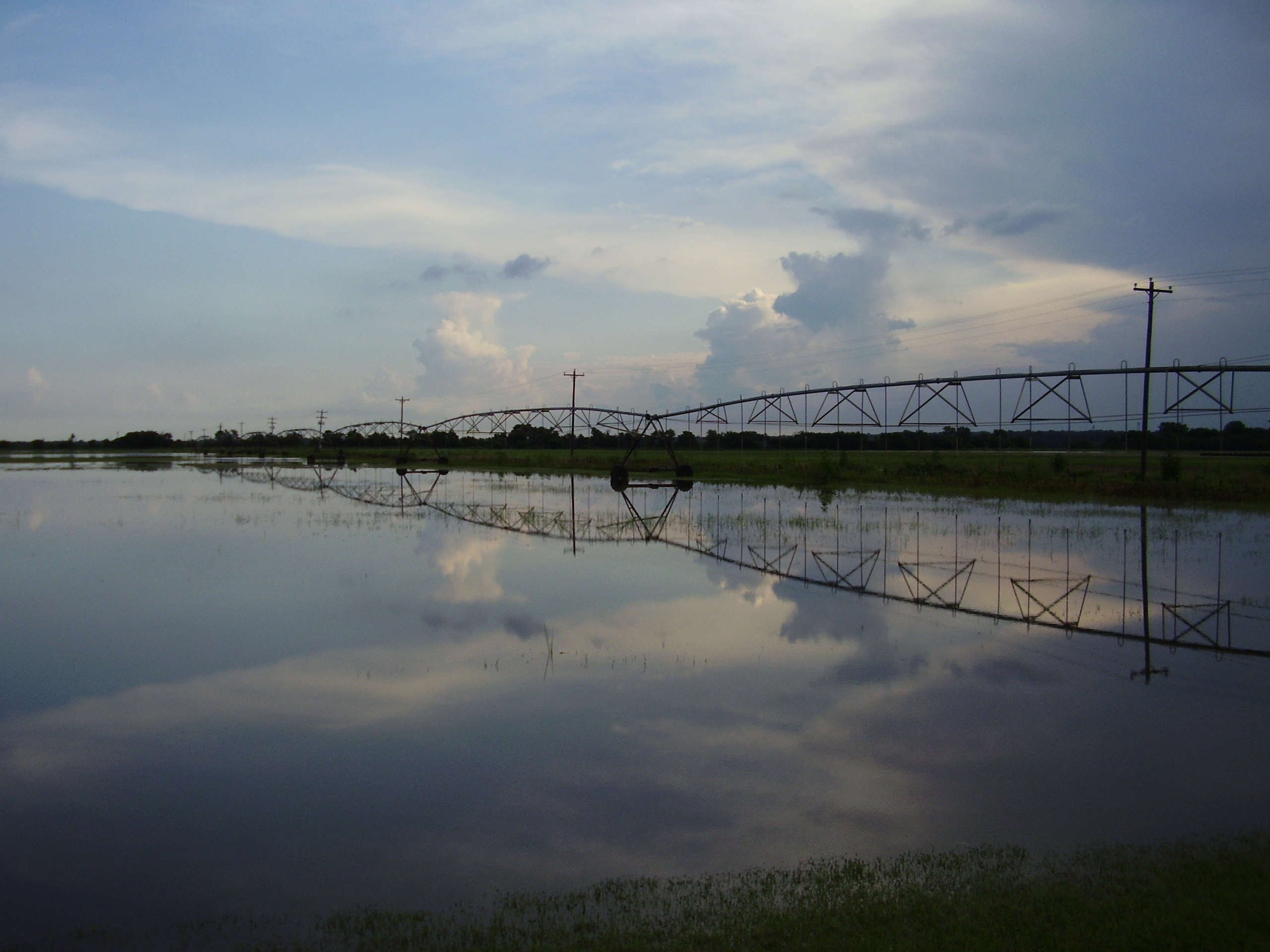
bird and july 10 flood 020

2011-05-24_6409
2011-05-24_6403

Driving through south central Oklahoma

Purcell Sunrise
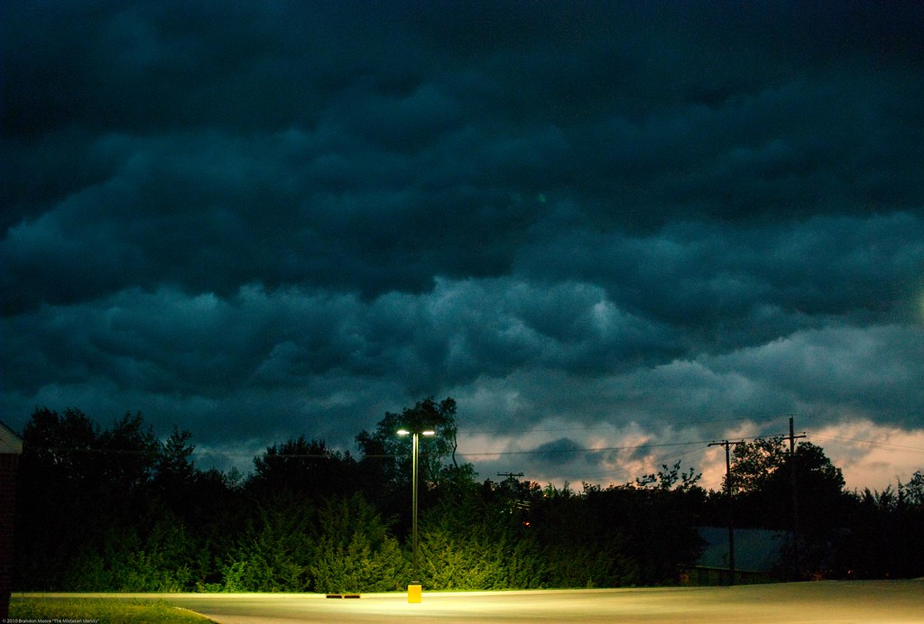
Storm Coming

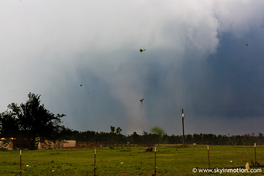
Dibble Supercell
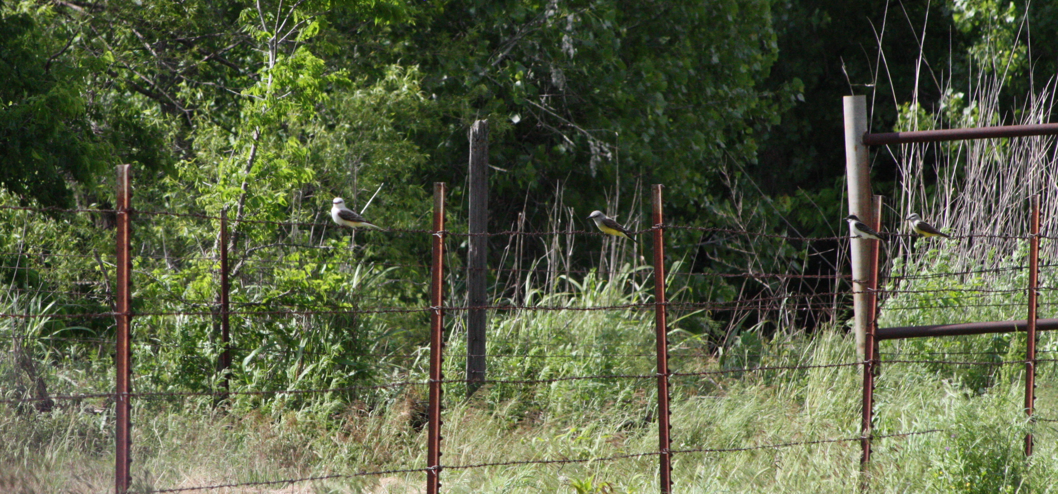
Scissor-tailed Flycatcher, Western Kingbird, Eastern Kingbird, Western Kingbird
Topographic Map of McClain County, OK, USA
Find elevation by address:

Places in McClain County, OK, USA:
Places near McClain County, OK, USA:
Goldsby
W Adams St, Purcell, OK, USA
Purcell
th St, Wayne, OK, USA
10500 48th St
6250 Slaughterville Rd
Lexington
Dibble
Wayne
Blanchard
Old Town 1st St, Blanchard, OK, USA
Bradley
Main St, Bradley, OK, USA
th St, Lexington, OK, USA
County Road 1500
Garvin County
OK-39, Wanette, OK, USA
Oklahoma
Grady County
Cox City Rd, Rush Springs, OK, USA
Recent Searches:
- Elevation of Sullivan Hill, New York, New York, 10002, USA
- Elevation of Morehead Road, Withrow Downs, Charlotte, Mecklenburg County, North Carolina, 28262, USA
- Elevation of 2800, Morehead Road, Withrow Downs, Charlotte, Mecklenburg County, North Carolina, 28262, USA
- Elevation of Yangbi Yi Autonomous County, Yunnan, China
- Elevation of Pingpo, Yangbi Yi Autonomous County, Yunnan, China
- Elevation of Mount Malong, Pingpo, Yangbi Yi Autonomous County, Yunnan, China
- Elevation map of Yongping County, Yunnan, China
- Elevation of North 8th Street, Palatka, Putnam County, Florida, 32177, USA
- Elevation of 107, Big Apple Road, East Palatka, Putnam County, Florida, 32131, USA
- Elevation of Jiezi, Chongzhou City, Sichuan, China
- Elevation of Chongzhou City, Sichuan, China
- Elevation of Huaiyuan, Chongzhou City, Sichuan, China
- Elevation of Qingxia, Chengdu, Sichuan, China
- Elevation of Corso Fratelli Cairoli, 35, Macerata MC, Italy
- Elevation of Tallevast Rd, Sarasota, FL, USA
- Elevation of 4th St E, Sonoma, CA, USA
- Elevation of Black Hollow Rd, Pennsdale, PA, USA
- Elevation of Oakland Ave, Williamsport, PA, USA
- Elevation of Pedrógão Grande, Portugal
- Elevation of Klee Dr, Martinsburg, WV, USA