Elevation of th St, Wayne, OK, USA
Location: United States > Oklahoma > Mcclain County > Wayne >
Longitude: -97.405909
Latitude: 34.928467
Elevation: 338m / 1109feet
Barometric Pressure: 97KPa
Elevation Map:
Satellite Map:
Related Photos:
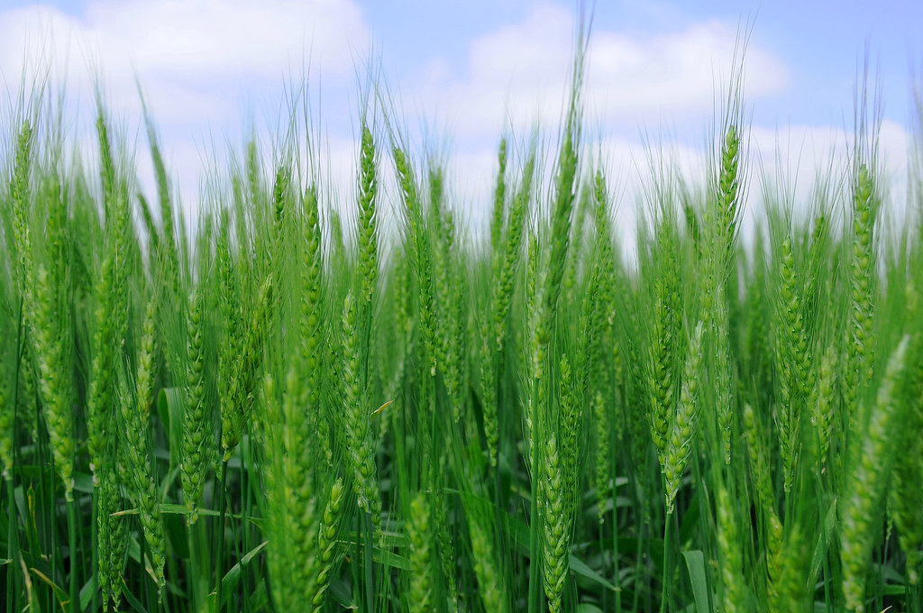
Spring Wheat
A break in the view
Yield Giant

2011-05-13_5906

BETTER THAN THE LOG RIDE AT DISNEY WORLD

Oklahoma landscape

On the river #sunset #sundogtrails #mextures #kawasaki #teryx #river

2011-05-13_5908

Good morning, Oklahoma - I35, take me back to Texas...

Driving through south central Oklahoma

Purcell Sunrise

Shelf Cloud

20150326-20150325-IMG_1004 - 20150326-IMG_1008

20150326-IMG_0975
Topographic Map of th St, Wayne, OK, USA
Find elevation by address:

Places near th St, Wayne, OK, USA:
Wayne
Purcell
W Adams St, Purcell, OK, USA
Lexington
Mcclain County
10500 48th St
Garvin County
Goldsby
Dibble
th St, Lexington, OK, USA
OK-39, Wanette, OK, USA
Bradley
Main St, Bradley, OK, USA
County Road 1500
Oklahoma
Blanchard
Old Town 1st St, Blanchard, OK, USA
Wynnewood
Wanette
Cox City Rd, Rush Springs, OK, USA
Recent Searches:
- Elevation of W Granada St, Tampa, FL, USA
- Elevation of Pykes Down, Ivybridge PL21 0BY, UK
- Elevation of Jalan Senandin, Lutong, Miri, Sarawak, Malaysia
- Elevation of Bilohirs'k
- Elevation of 30 Oak Lawn Dr, Barkhamsted, CT, USA
- Elevation of Luther Road, Luther Rd, Auburn, CA, USA
- Elevation of Unnamed Road, Respublika Severnaya Osetiya — Alaniya, Russia
- Elevation of Verkhny Fiagdon, North Ossetia–Alania Republic, Russia
- Elevation of F. Viola Hiway, San Rafael, Bulacan, Philippines
- Elevation of Herbage Dr, Gulfport, MS, USA