Elevation of Punkin Center, CO, USA
Location: United States > Colorado > Lincoln County >
Longitude: -103.70050
Latitude: 38.8519383
Elevation: 1634m / 5361feet
Barometric Pressure: 83KPa
Elevation Map:
Satellite Map:
Related Photos:

Colorado Grasslands
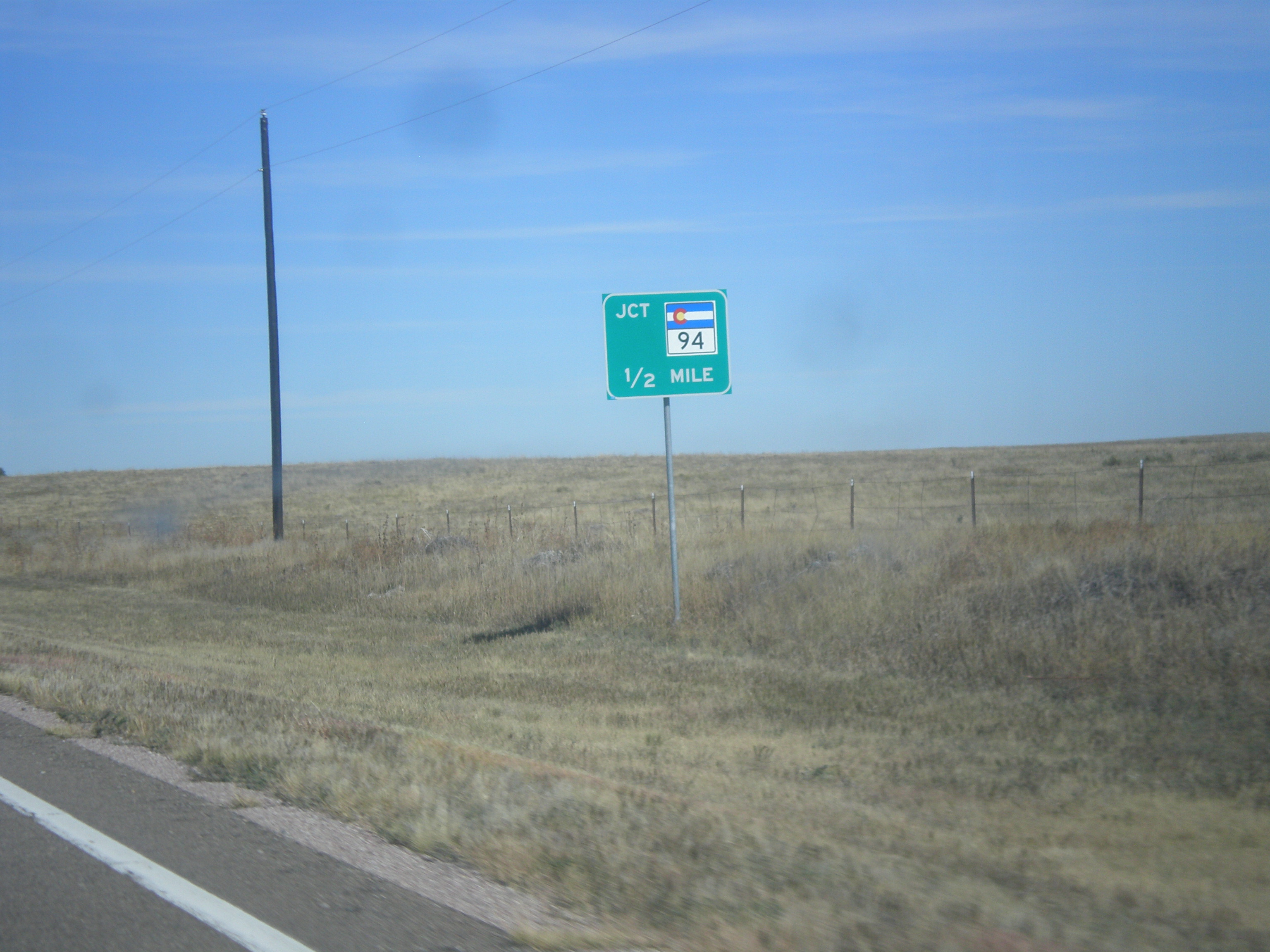
CO-71 North Approaching CO-94
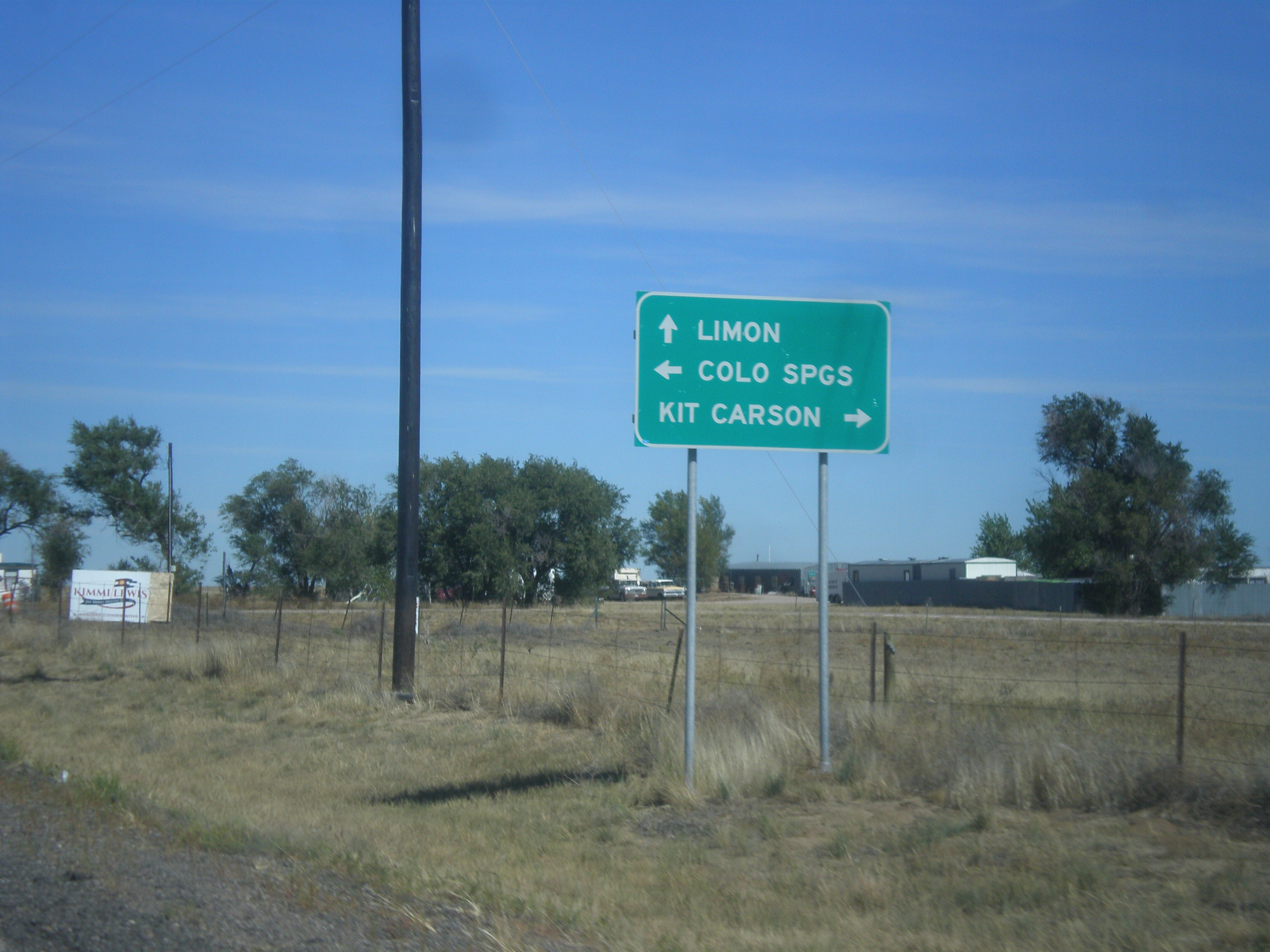
CO-71 North at CO-94
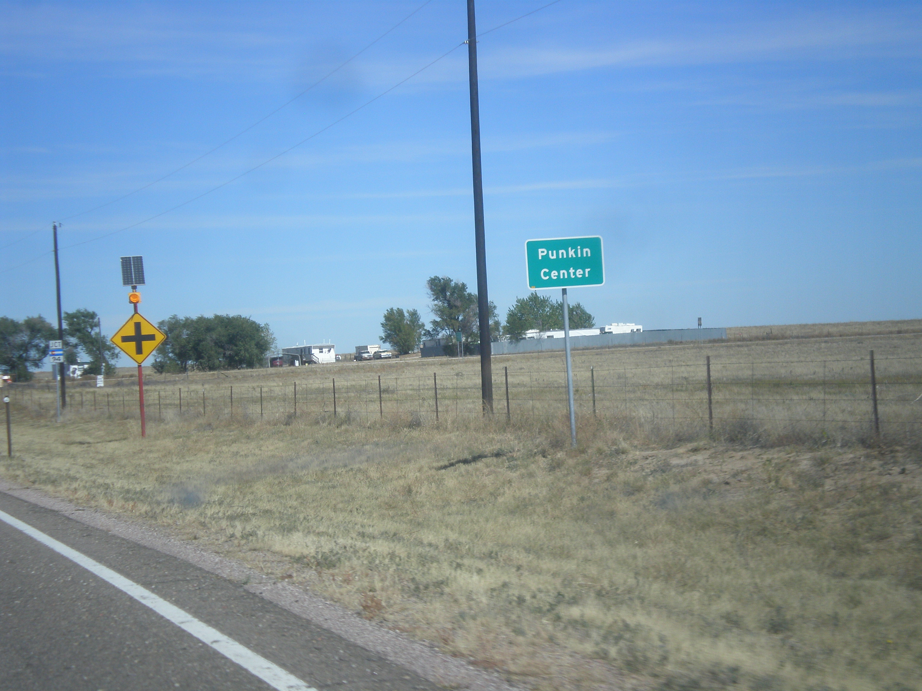
CO-71 North - Punkin Center
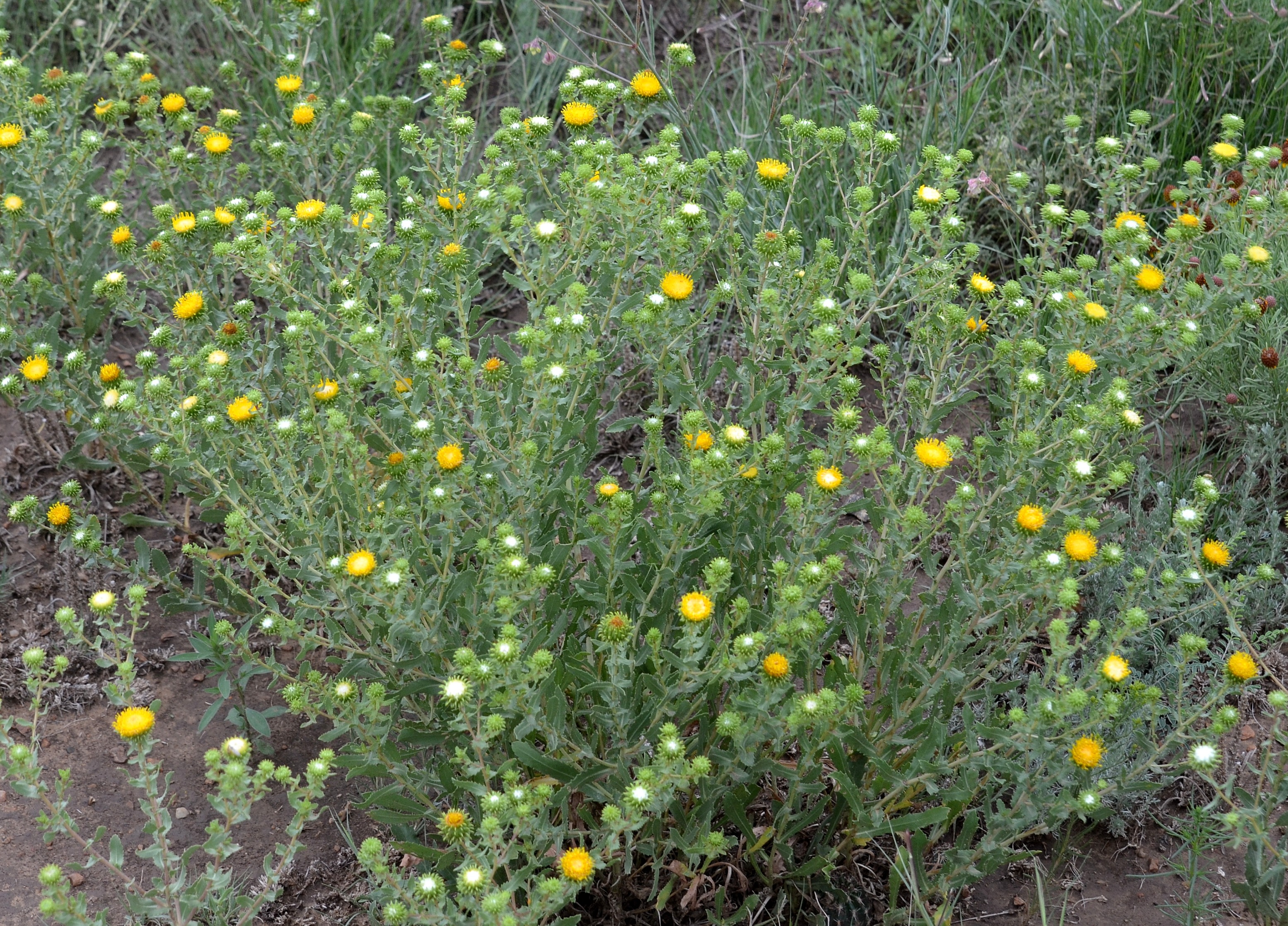
Grindelia squarrosa
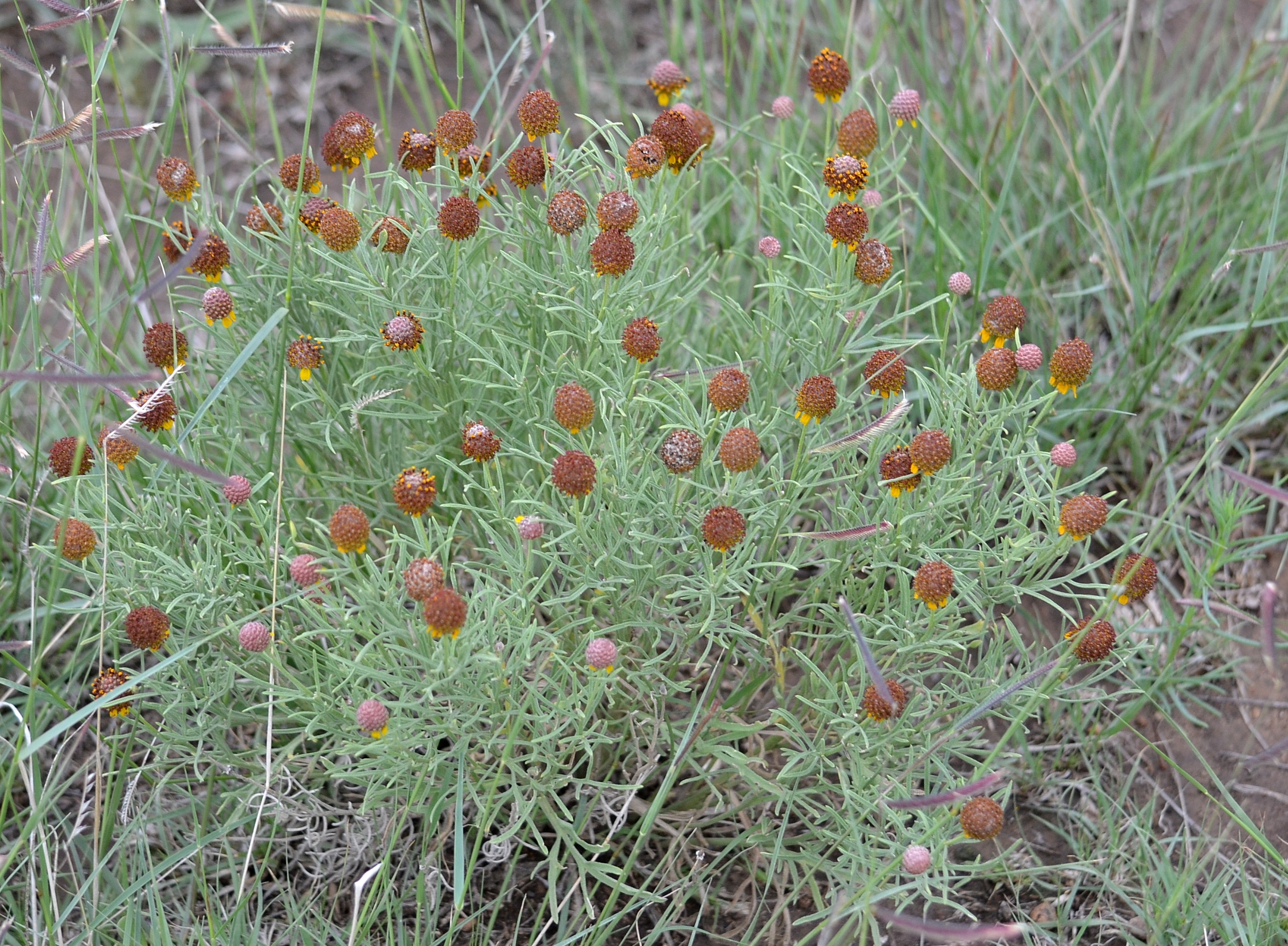
Ratibida tagetes
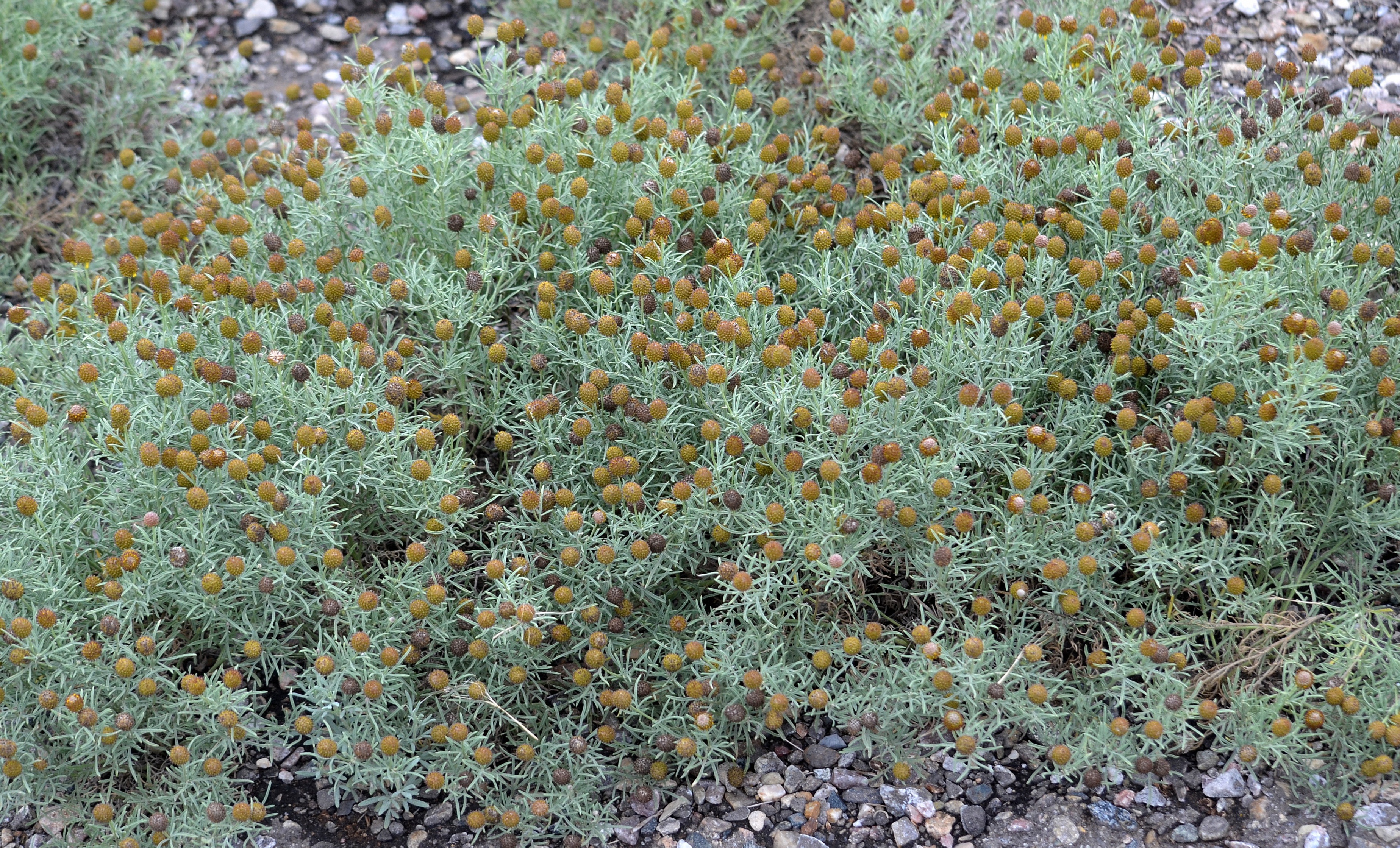
Ratibida tagetes
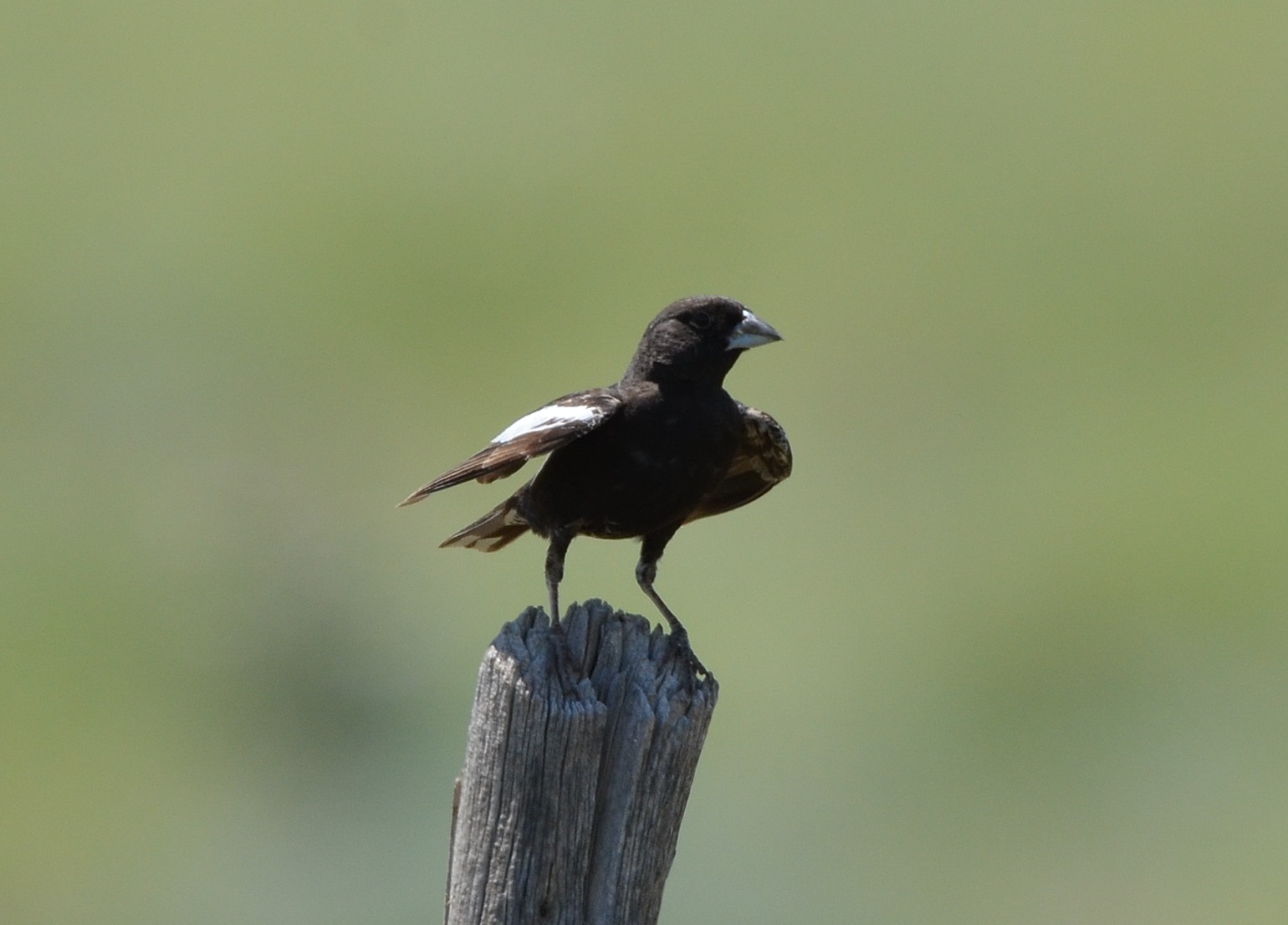
Lark Bunting
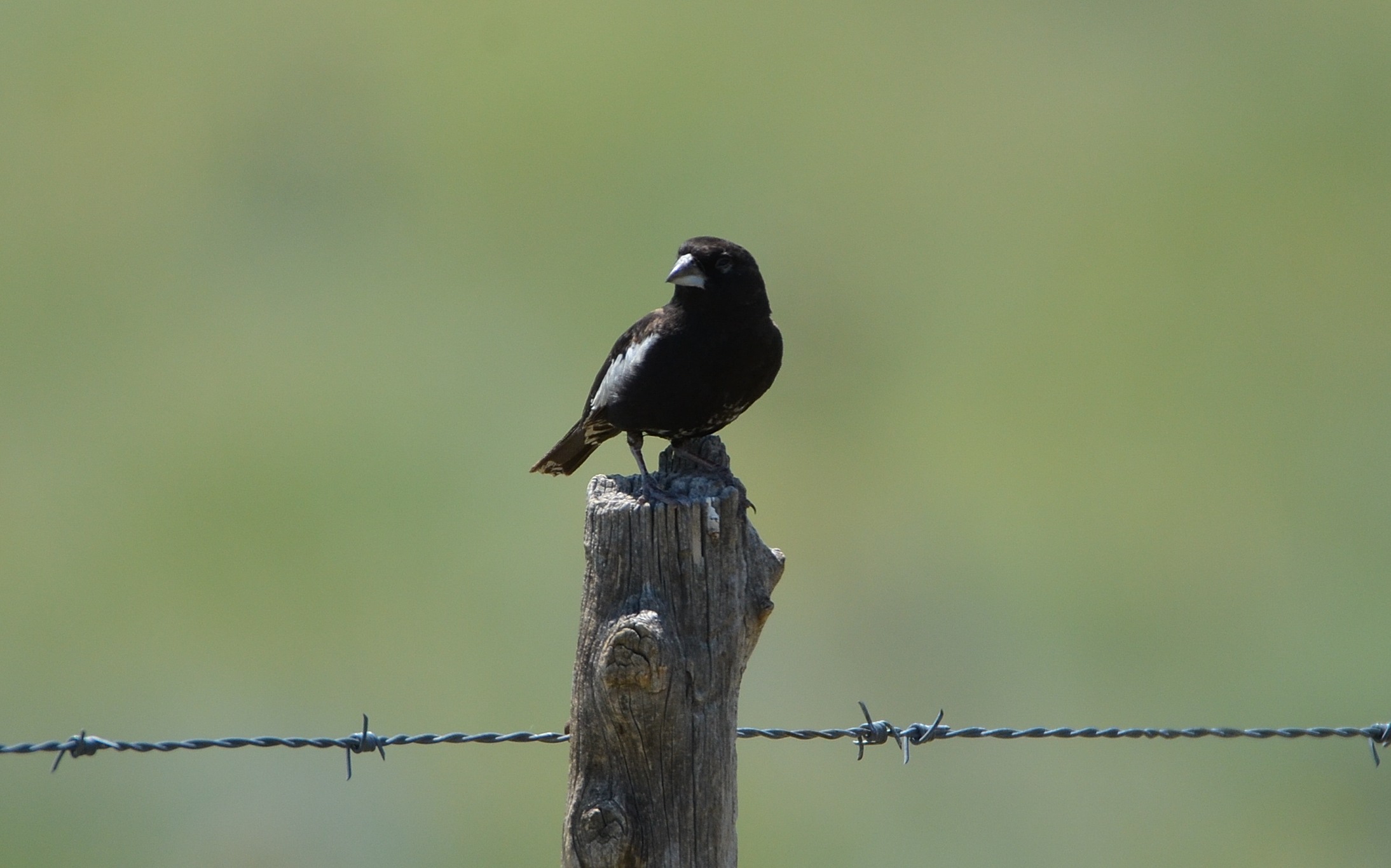
Lark Bunting
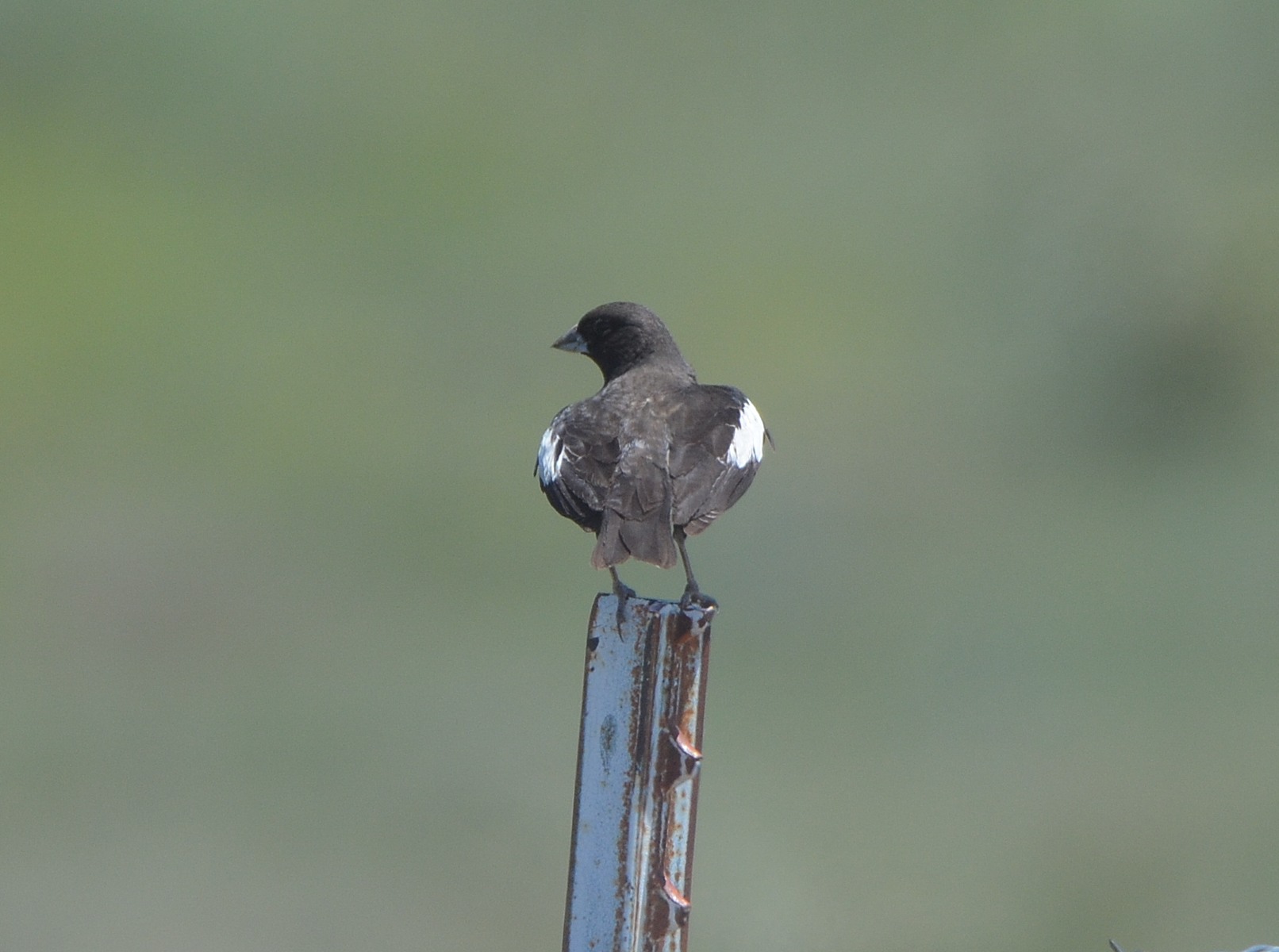
Lark Bunting
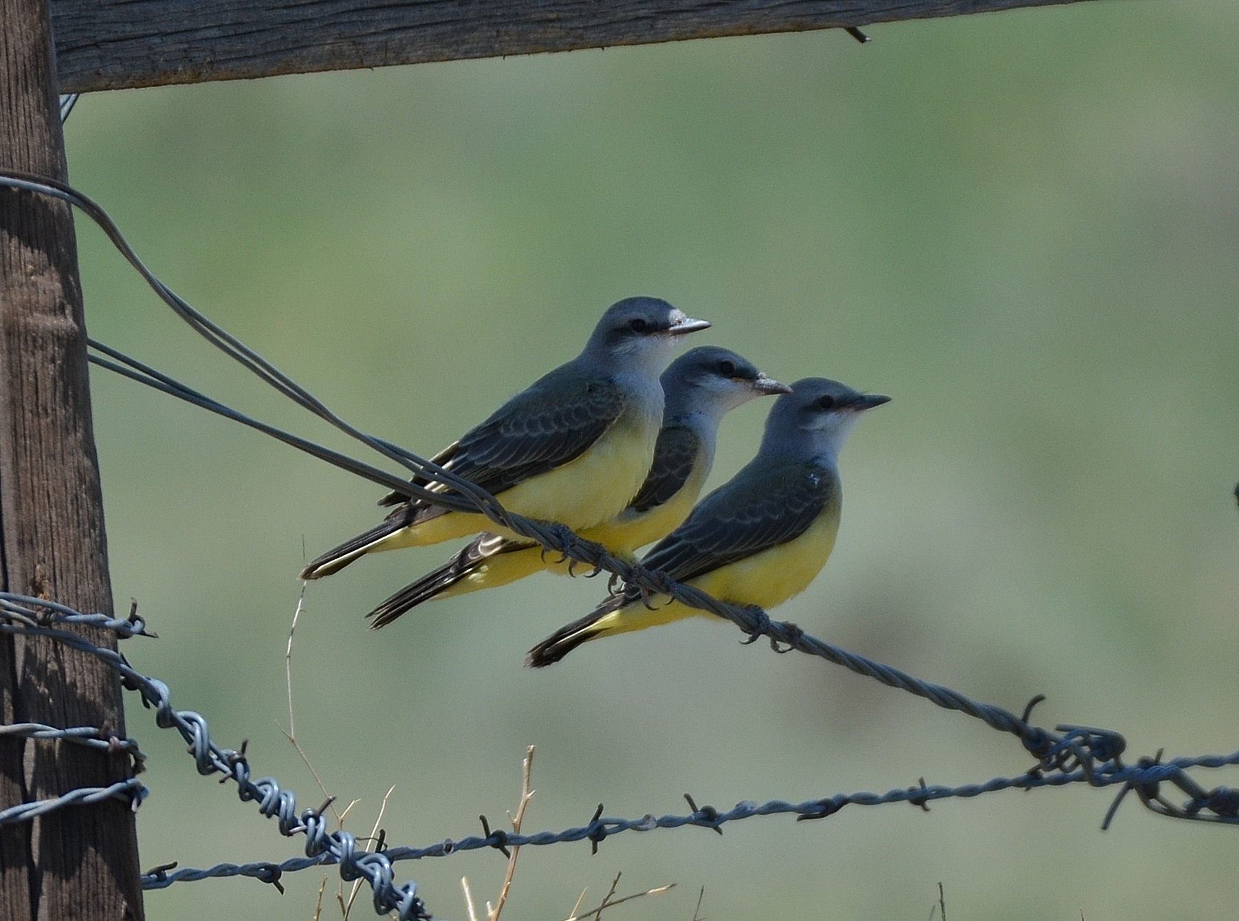
Western Kingbirds
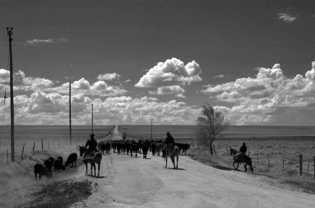
Cattle Drive
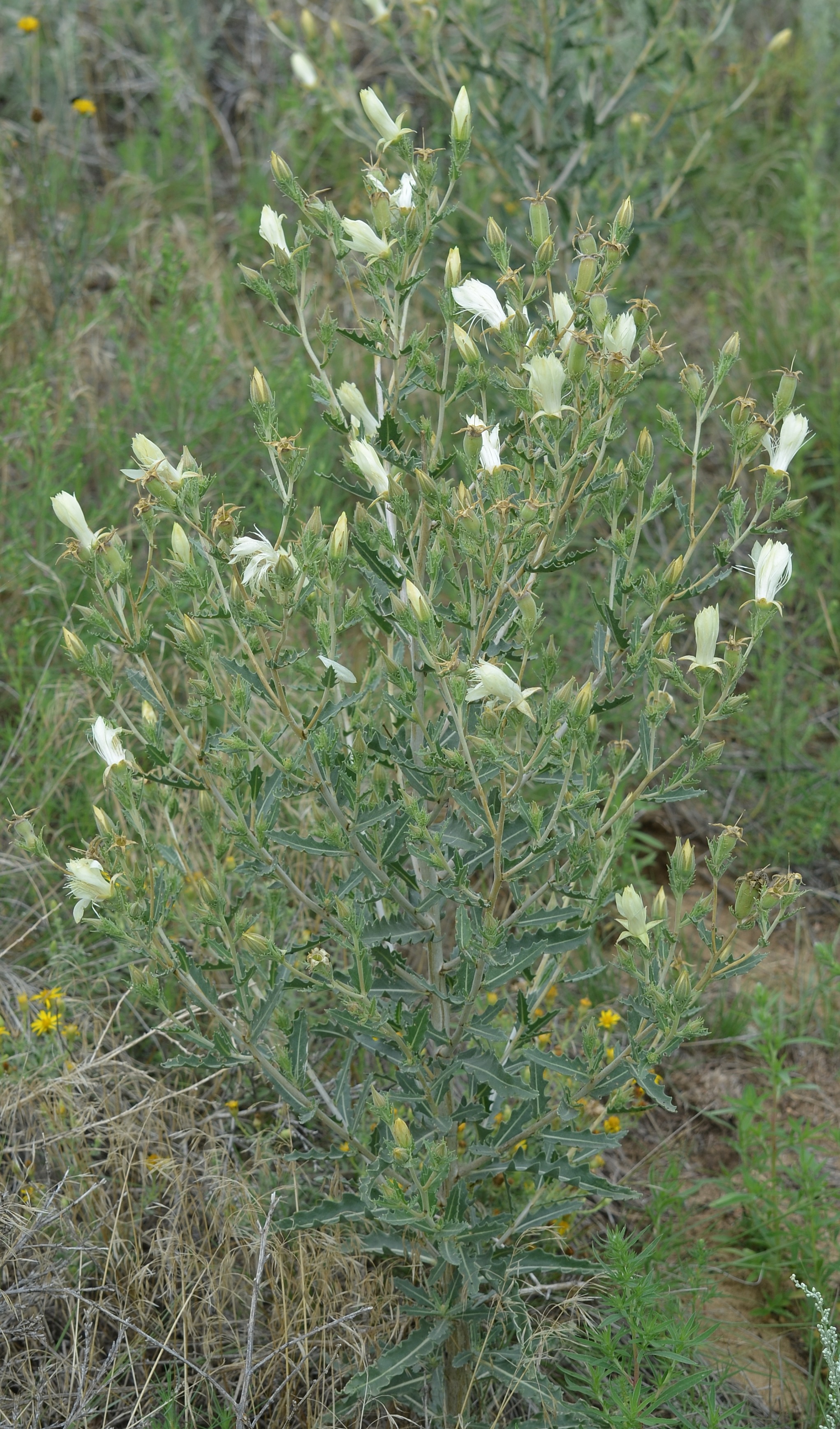
Mentzelia reverchonii

Western Kingbird with Grasshopper
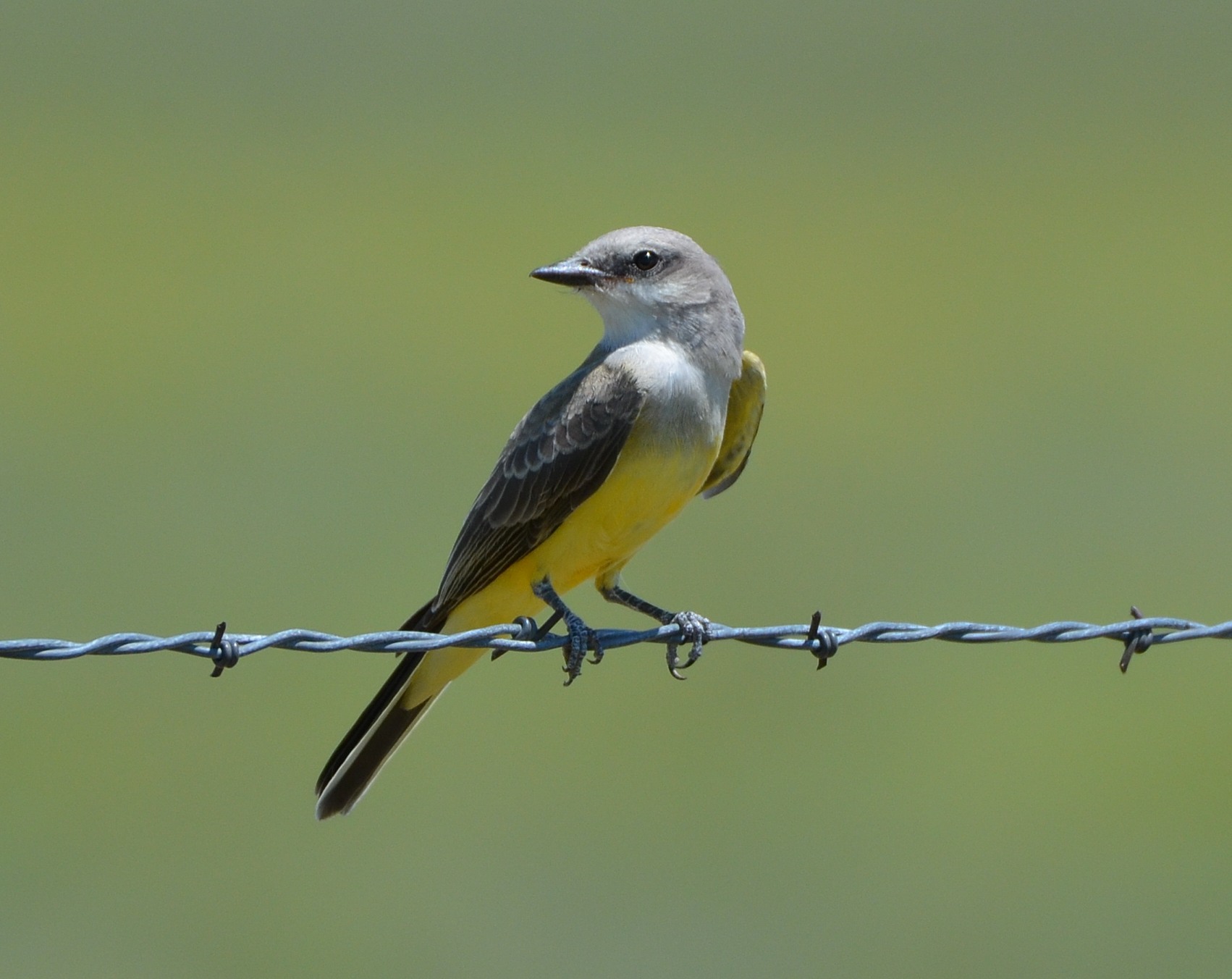
Western Kingbird
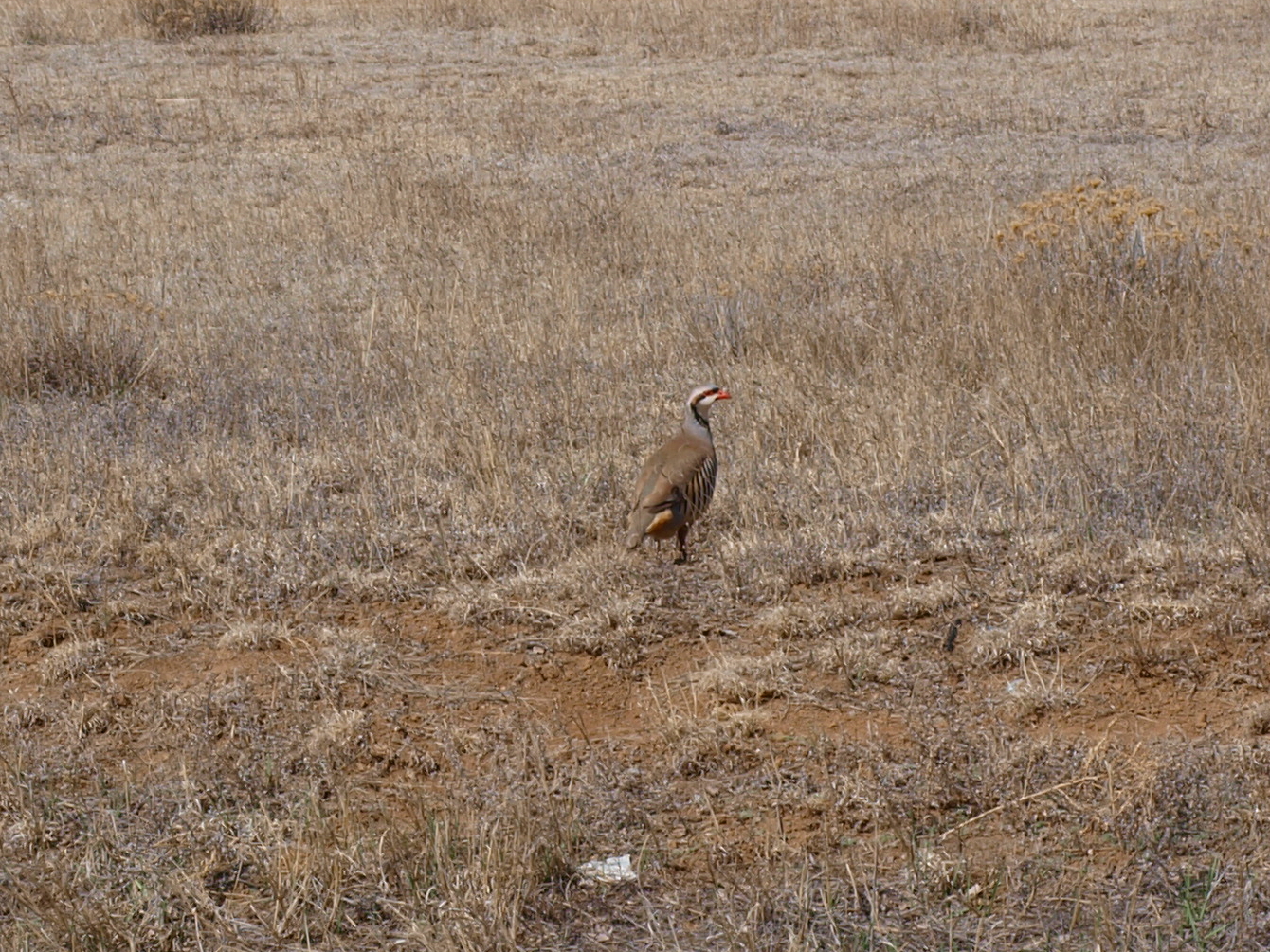
CHUKAR ON THE HIGH PLAINS
Topographic Map of Punkin Center, CO, USA
Find elevation by address:

Places near Punkin Center, CO, USA:
Matheson, CO, USA
309 5th St
Hugo
6th St, Hugo, CO, USA
Co Rd 50, Ramah, CO, USA
Lincoln County
Limon
I Ave, Limon, CO, USA
441 G Ave
Matheson
Limon, CO, USA
Cedar Point
County Road 134
Arriba
Curtis St, Arriba, CO, USA
Crowley County
CO-96, Arlington, CO, USA
Arlington
Ordway
Sherman Ave, Ordway, CO, USA
Recent Searches:
- Elevation of N, Mt Pleasant, UT, USA
- Elevation of 6 Rue Jules Ferry, Beausoleil, France
- Elevation of Sattva Horizon, 4JC6+G9P, Vinayak Nagar, Kattigenahalli, Bengaluru, Karnataka, India
- Elevation of Great Brook Sports, Gold Star Hwy, Groton, CT, USA
- Elevation of 10 Mountain Laurels Dr, Nashua, NH, USA
- Elevation of 16 Gilboa Ln, Nashua, NH, USA
- Elevation of Laurel Rd, Townsend, TN, USA
- Elevation of 3 Nestling Wood Dr, Long Valley, NJ, USA
- Elevation of Ilungu, Tanzania
- Elevation of Yellow Springs Road, Yellow Springs Rd, Chester Springs, PA, USA