Elevation of County Road, Co Rd, Colorado, USA

Location: United States > Colorado > Elbert County > Agate >

Longitude: -103.93008

Latitude: 39.3449976

Elevation: 1706m / 5597feet

Barometric Pressure: 82KPa

Elevation Map:

elevation map of County Road, Co Rd, Colorado, USA

Satellite Map:

Satellite map of County Road, Co Rd, Colorado, USA

Related Photos:

summer west drive midwest tour cities visit tourist east seven views freeway interstate states towns zero sights 07 sightsee
SAN-NYC (357)
summer west drive midwest tour cities visit tourist east seven views freeway interstate states towns zero sights 07 sightsee
SAN-NYC (352)
road sign rural xpro nikon dirt d40 1855mmf3556 cuntry
welcome to the... excuse me‽
tornado cloud supercell landscape storm stormchase chase dangerous colorado thunder thunderstorm funnelcloud weather sky wx agate unitedstates us
20170508-_E1A6867.jpg
tornado cloud supercell landscape storm stormchase chase dangerous colorado thunder thunderstorm funnelcloud weather sky wx agate unitedstates us
20170508-085A9315.jpg
tornado cloud supercell landscape storm stormchase chase dangerous colorado thunder thunderstorm funnelcloud weather sky wx agate unitedstates us
20170508-_E1A6897.jpg
tornado cloud supercell landscape storm stormchase chase dangerous colorado thunder thunderstorm funnelcloud weather sky wx agate unitedstates us
20170508-085A9265.jpg
tornado cloud supercell landscape storm stormchase chase dangerous colorado thunder thunderstorm funnelcloud weather sky wx agate unitedstates us
20170508-085A9299.jpg
tornado cloud supercell landscape storm stormchase chase dangerous colorado thunder thunderstorm funnelcloud weather sky wx agate unitedstates us
20170508-085A9266.jpg
tornado cloud supercell landscape storm stormchase chase dangerous colorado thunder thunderstorm funnelcloud weather sky wx agate unitedstates us
20170508-085A9303.jpg
tornado cloud supercell landscape storm stormchase chase dangerous colorado thunder thunderstorm funnelcloud weather sky wx agate unitedstates us
20170508-085A9337.jpg
tornado cloud supercell landscape storm stormchase chase dangerous colorado thunder thunderstorm funnelcloud weather sky wx agate unitedstates us
20170508-_E1A6875.jpg
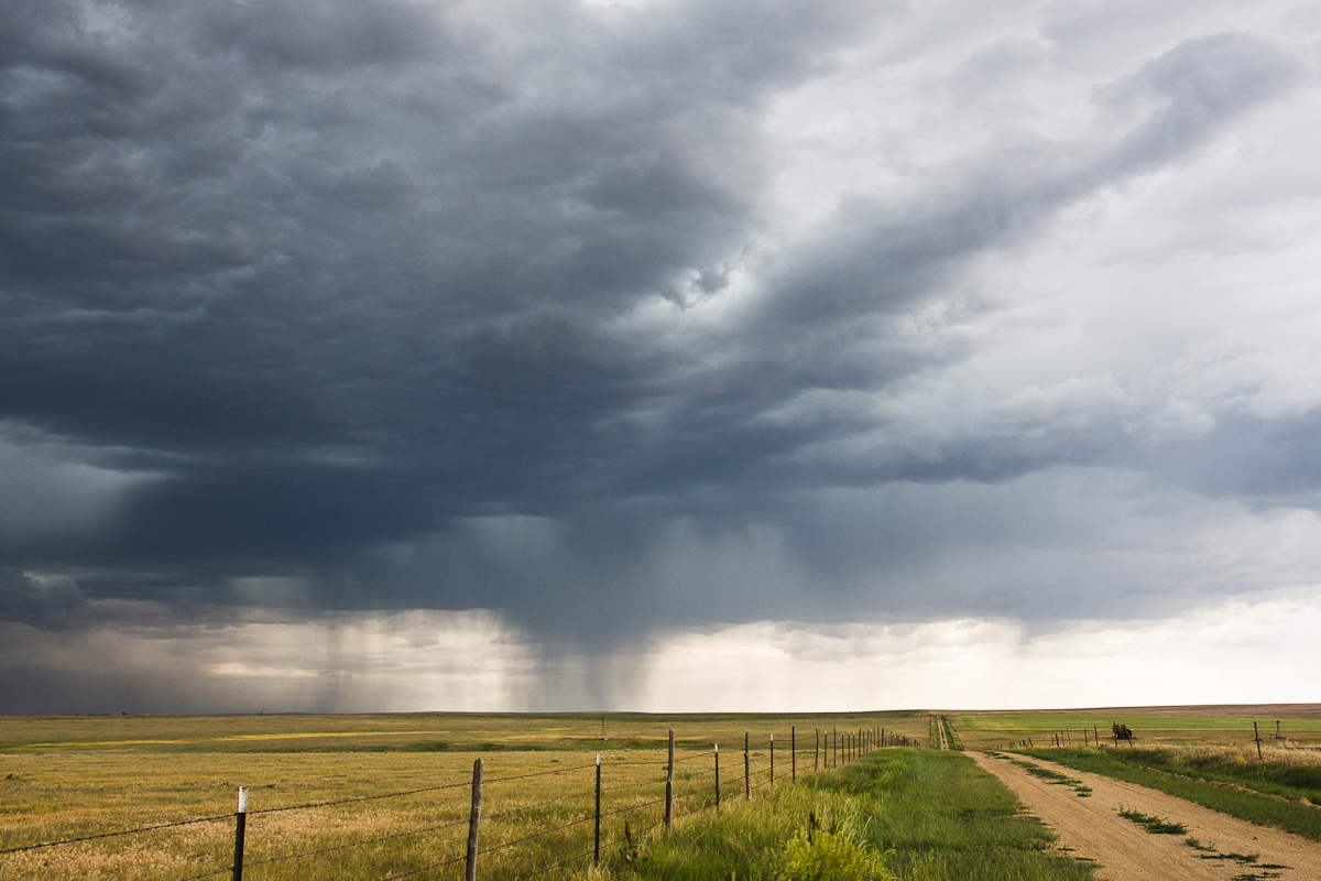
rain clouds colorado limon thunderstorms 6212 june22012
CO Storms
rain clouds colorado limon thunderstorms 6212 june22012
Palmer Divide Chasing
tornado cloud supercell landscape storm stormchase chase dangerous colorado thunder thunderstorm funnelcloud weather sky wx agate unitedstates us
20170508-085A9383.jpg
tornado cloud supercell landscape storm stormchase chase dangerous colorado thunder thunderstorm funnelcloud weather sky wx agate unitedstates us
20170508-085A9307.jpg
tornado cloud supercell landscape storm stormchase chase dangerous colorado thunder thunderstorm funnelcloud weather sky wx agate unitedstates us
20170508-085A9279.jpg
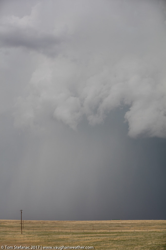
rain clouds colorado limon thunderstorms 6212 june22012
Rain Shaft
tornado cloud supercell landscape storm stormchase chase dangerous colorado thunder thunderstorm funnelcloud weather sky wx agate unitedstates us
20170508-085A9377.jpg
geotagged us colorado elections2008 guardianus08 geo:lon=103830401667 geo:lat=39320365000
Interstate 70 eastern Colorado
geotagged us colorado elections2008 guardianus08 geo:lon=103892645000 geo:lat=39388225000
Interstate 70 eastern Colorado
coloradorailroads coloradotrains matheson colorado unitedstates us
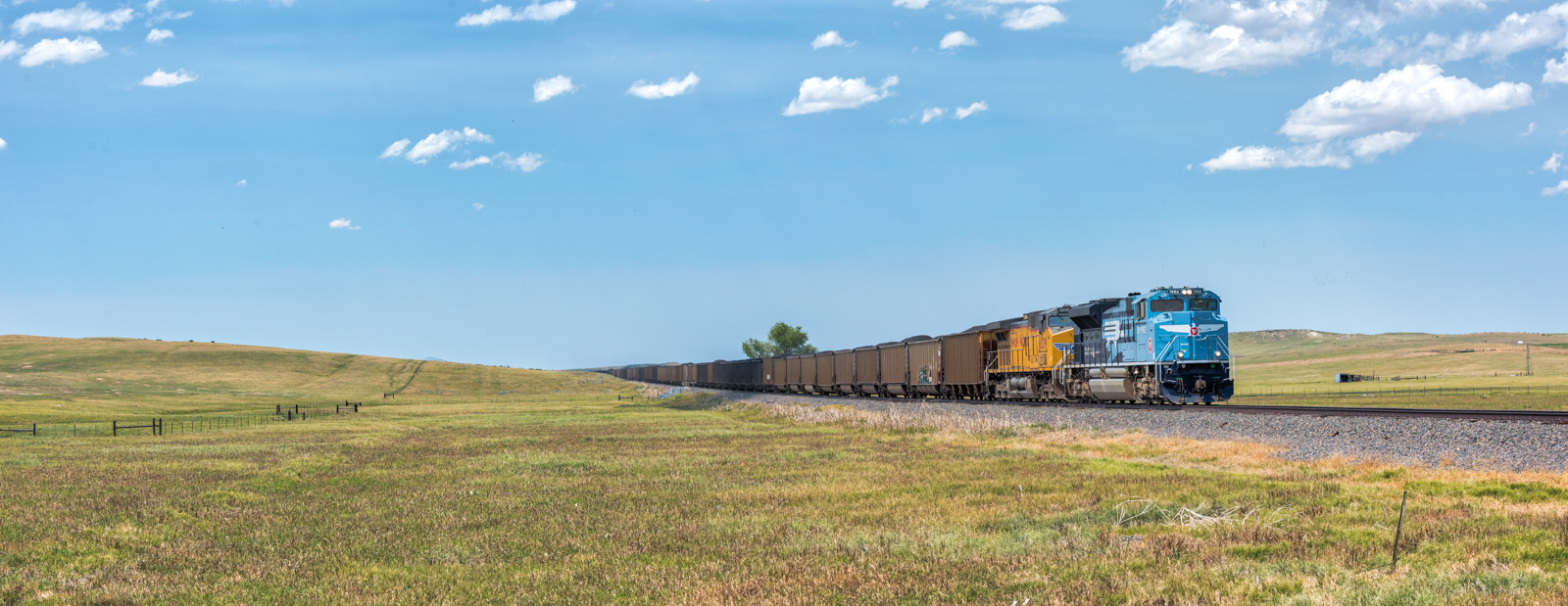
RR-20180702-LimonSub-95-e
aerials airplanes americanwest curtisfarm17 events other places scenics agate colorado unitedstates us
20170415 024
tornado cloud supercell landscape storm stormchase chase dangerous colorado thunder thunderstorm funnelcloud weather sky wx agate unitedstates us
20170508-085A9361.jpg