Elevation of Curtis St, Arriba, CO, USA
Location: United States > Colorado > Lincoln County > Arriba >
Longitude: -103.27492
Latitude: 39.2861372
Elevation: 1596m / 5236feet
Barometric Pressure: 84KPa
Elevation Map:
Satellite Map:
Related Photos:
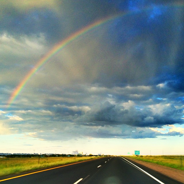
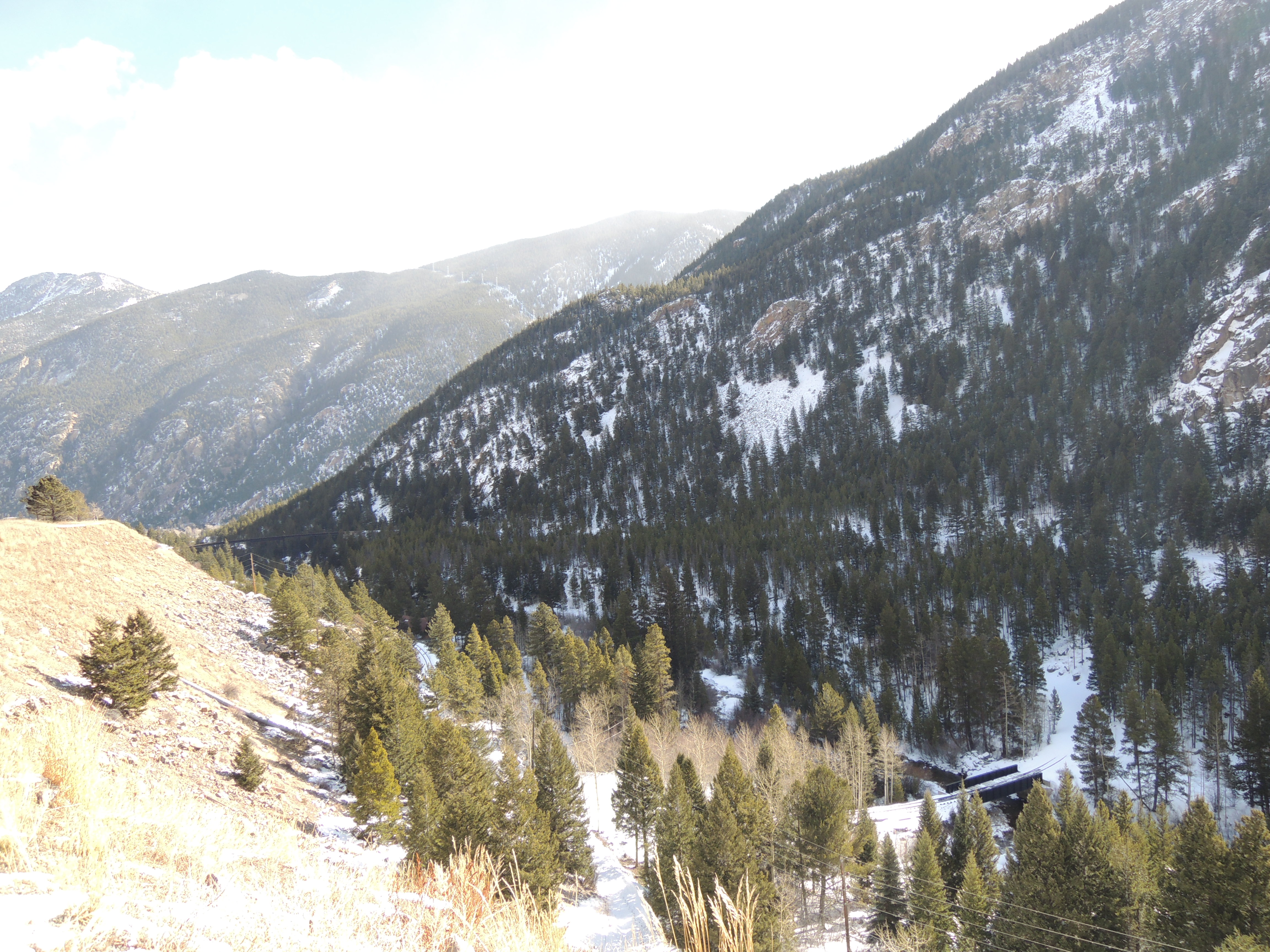
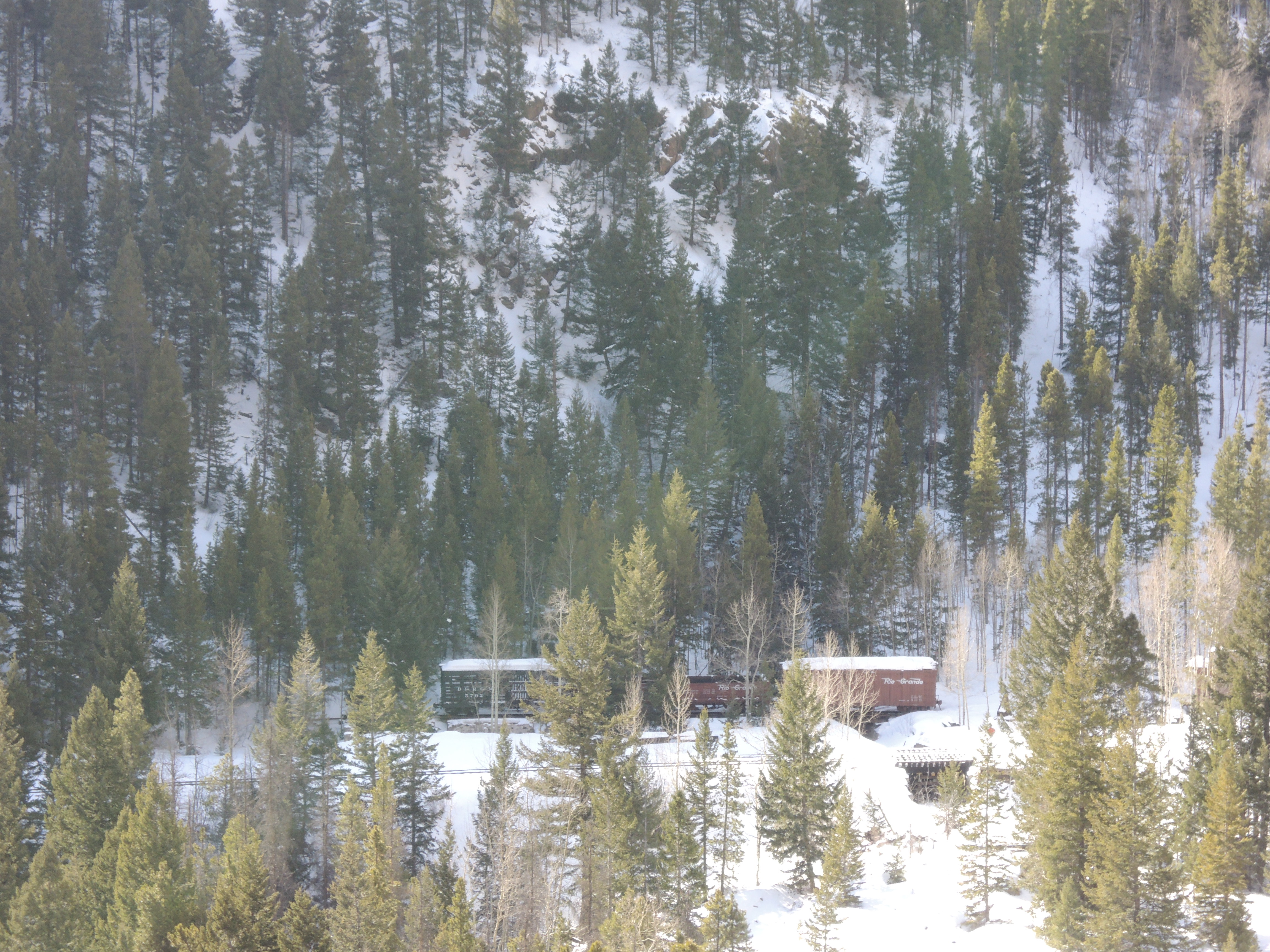
#colorado had the best views

arriba at kansas border
Arriba, New Style 2

Western Homes

It was surreal filming in Nebraska. Felt like baseball players might walk out of the corn at any moment. #fieldofdreams #kevincostnerisagodamongmen #ifyoufilmittheywillwatch #whispers

Colorado Rest Stop (5)
Colorado Rest Stop (5)
West Kansas
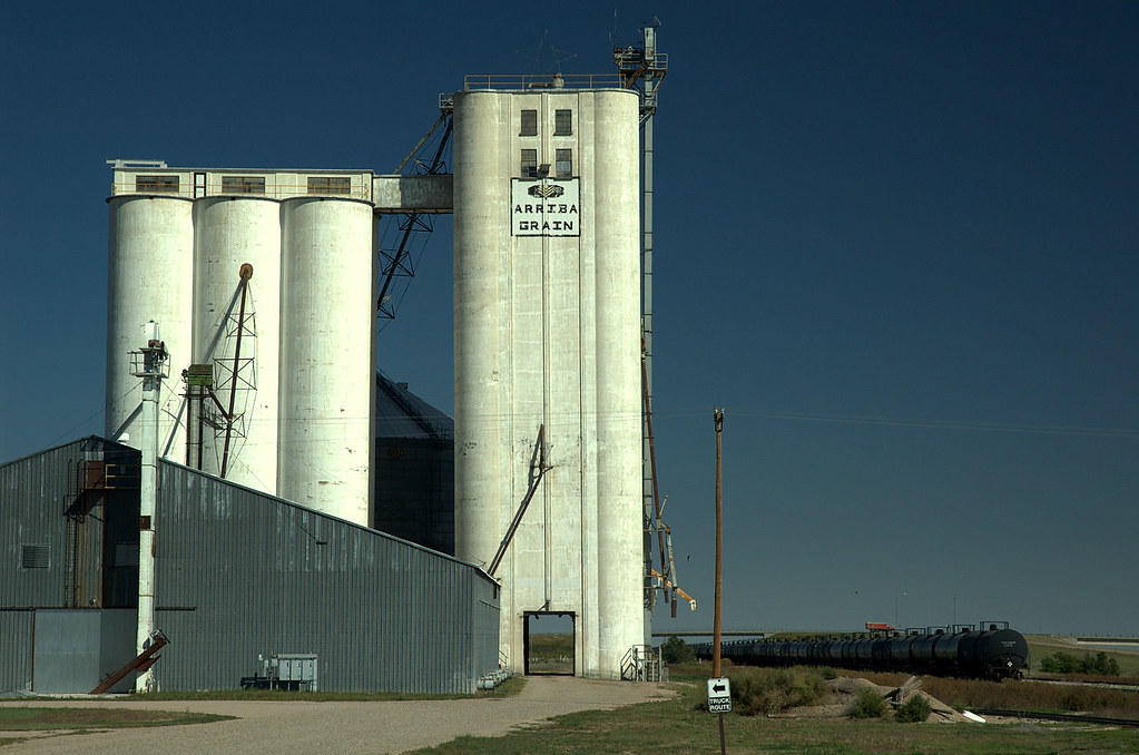
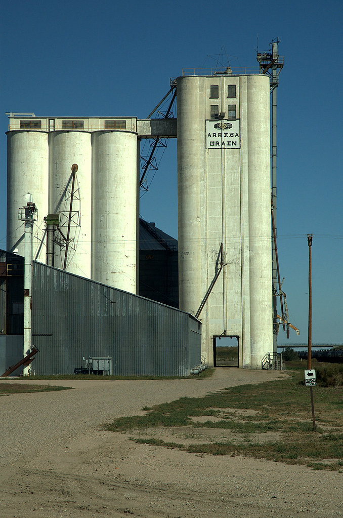
Arriba, New Style 1
Colorado Rest Stop (4)
Colorado Rest Stop (3)
IMG_9512.jpg

Colorado Rest Stop (4)

Colorado Rest Stop (3)
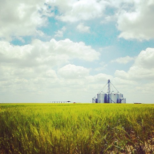
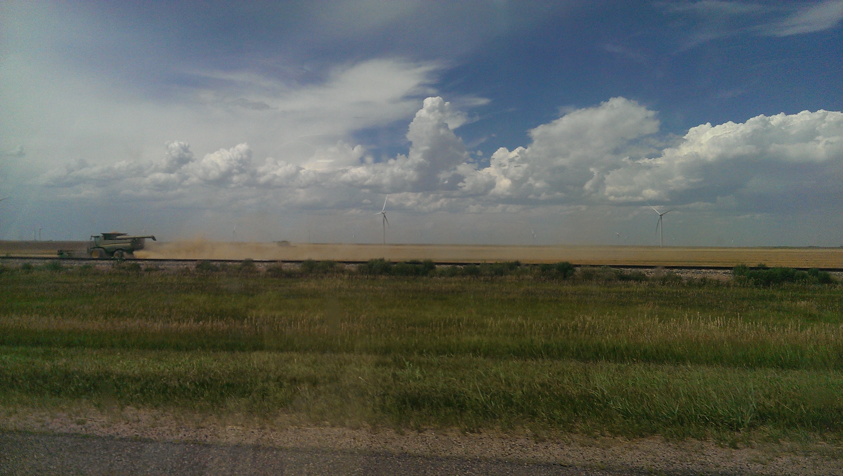
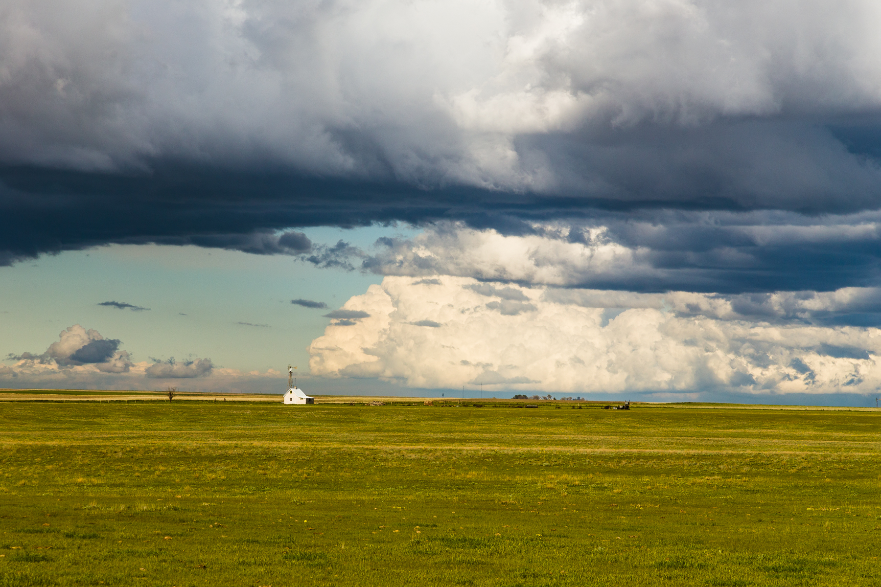
We've been seeing these for mike, many shapes and sizes. Love the stark contrast between the steel and natural surrounding. The vibrant colors! #plains #roadtrip2014 #trailertravel #unschoolersontheroad #sharkeysontheroad #agriculture #contrast #minimalis
Camera Roll-36

Camera Roll-38
Topographic Map of Curtis St, Arriba, CO, USA
Find elevation by address:

Places near Curtis St, Arriba, CO, USA:
Arriba
Flagler
828 Ouray Ave
828 Ouray Ave
Flagler, CO, USA
6th St, Hugo, CO, USA
Hugo
309 5th St
Lincoln County
Colorado Ave, Seibert, CO, USA
Seibert
Limon, CO, USA
441 G Ave
Limon
I Ave, Limon, CO, USA
Co Rd Z, Kit Carson, CO, USA
Cedar Point
Punkin Center
Matheson, CO, USA
County Road 134
Recent Searches:
- Elevation of Groblershoop, South Africa
- Elevation of Power Generation Enterprises | Industrial Diesel Generators, Oak Ave, Canyon Country, CA, USA
- Elevation of Chesaw Rd, Oroville, WA, USA
- Elevation of N, Mt Pleasant, UT, USA
- Elevation of 6 Rue Jules Ferry, Beausoleil, France
- Elevation of Sattva Horizon, 4JC6+G9P, Vinayak Nagar, Kattigenahalli, Bengaluru, Karnataka, India
- Elevation of Great Brook Sports, Gold Star Hwy, Groton, CT, USA
- Elevation of 10 Mountain Laurels Dr, Nashua, NH, USA
- Elevation of 16 Gilboa Ln, Nashua, NH, USA
- Elevation of Laurel Rd, Townsend, TN, USA