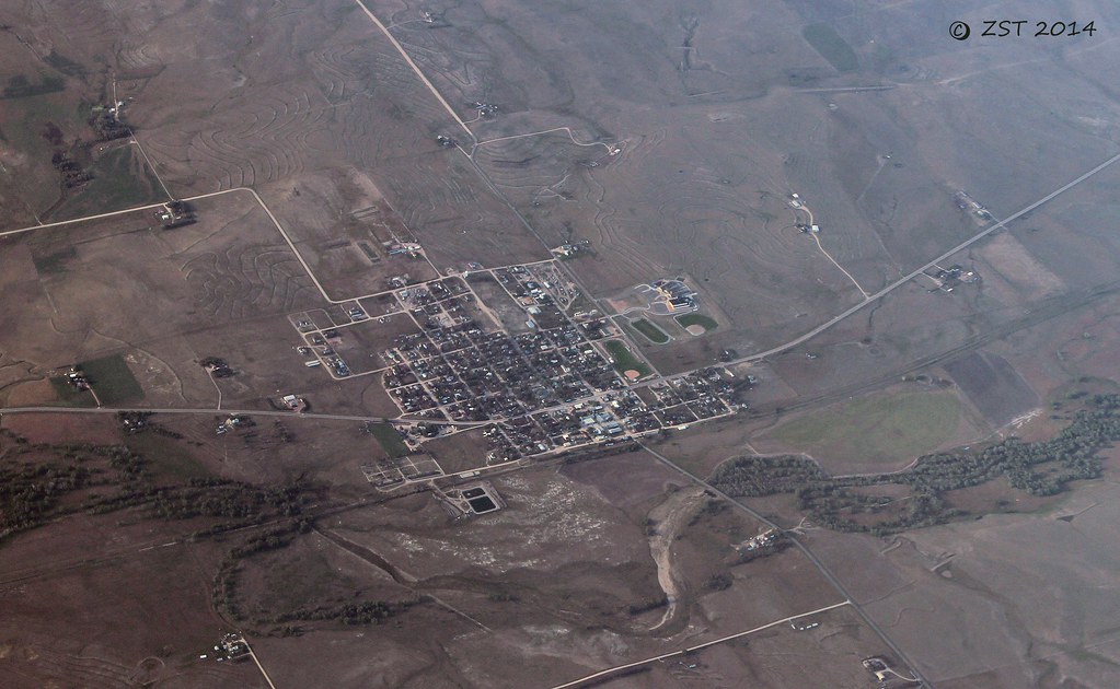
Elevation of Co Rd 50, Ramah, CO, USA
Location: United States > Colorado > Elbert County > Ramah >
Longitude: -104.04264
Latitude: 39.0421973
Elevation: 1906m / 6253feet
Barometric Pressure: 80KPa
Elevation Map:
Satellite Map:
Related Photos:

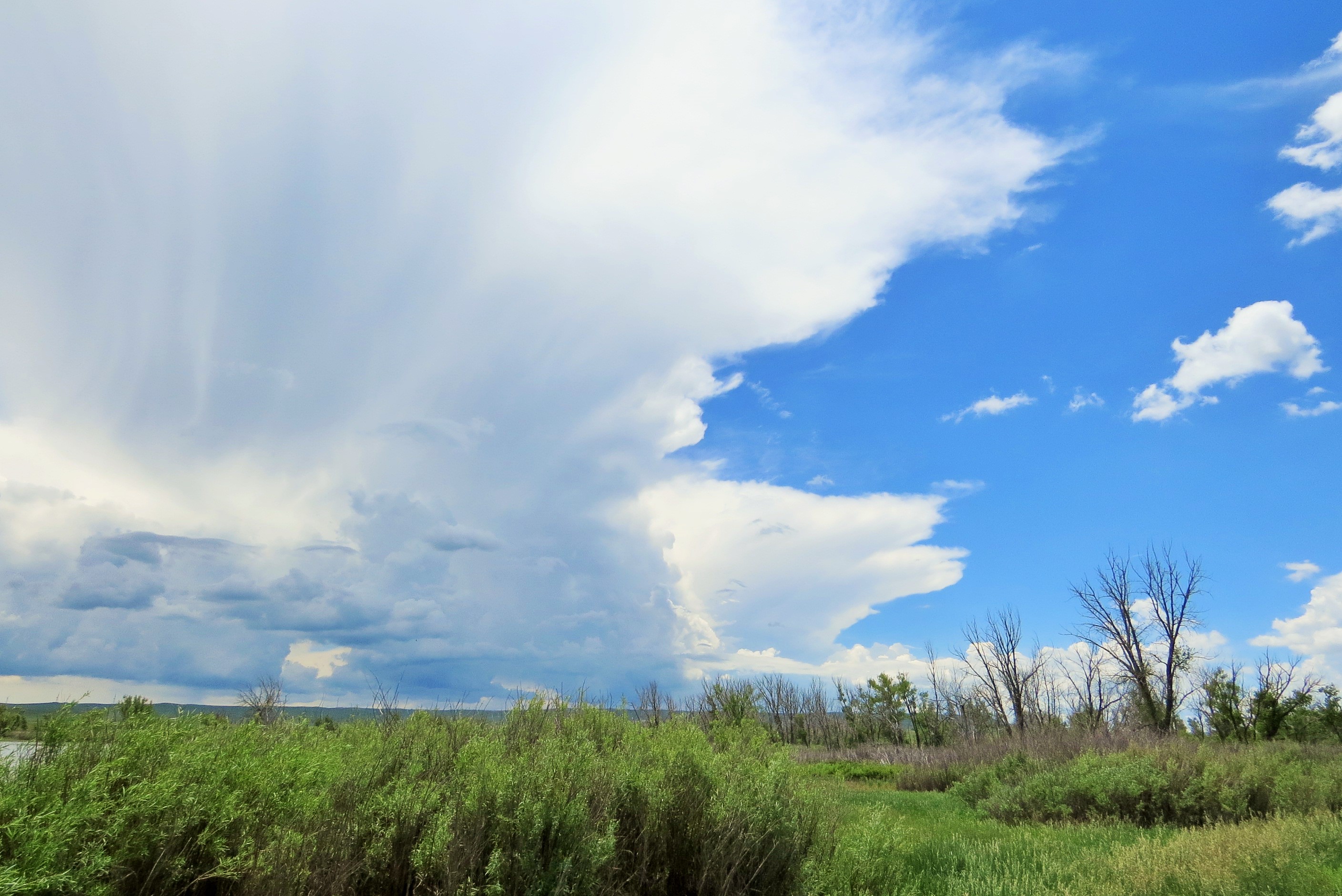
2012.06.07_0029

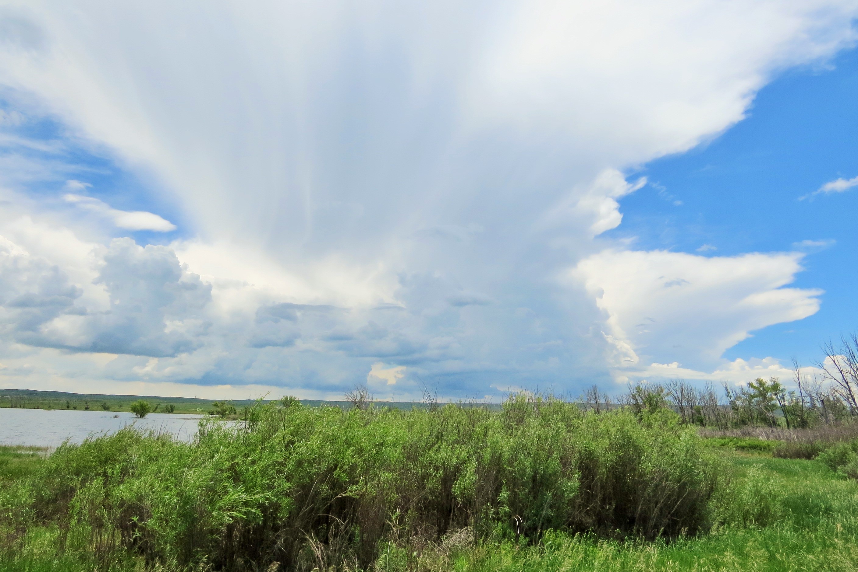
2012.06.07_0036

Christian Bale
Simla, CO

the condom wrapper in a dark corner of the louvre
Sent from a Motorola phone

_MG_1083.jpg
Sent from a Motorola phone
Sent from a Motorola phone

Windy at Ramah
Colorado Dolphin
Colorado Dolphin

Rainfall Recovery
Topographic Map of Co Rd 50, Ramah, CO, USA
Find elevation by address:

Places near Co Rd 50, Ramah, CO, USA:
Matheson
Matheson, CO, USA
County Road 134
Cedar Point
Punkin Center
I Ave, Limon, CO, USA
Limon
441 G Ave
Limon, CO, USA
309 5th St
Hugo
6th St, Hugo, CO, USA
Lincoln County
Arriba
Curtis St, Arriba, CO, USA
Crowley County
10431 Co Rd H
10431 Co Rd H
1st St, Crowley, CO, USA
550 Main St
Recent Searches:
- Elevation of Kambingan Sa Pansol Atbp., Purok 7 Pansol, Candaba, Pampanga, Philippines
- Elevation of Pinewood Dr, New Bern, NC, USA
- Elevation of Mountain View, CA, USA
- Elevation of Foligno, Province of Perugia, Italy
- Elevation of Blauwestad, Netherlands
- Elevation of Bella Terra Blvd, Estero, FL, USA
- Elevation of Estates Loop, Priest River, ID, USA
- Elevation of Woodland Oak Pl, Thousand Oaks, CA, USA
- Elevation of Brownsdale Rd, Renfrew, PA, USA
- Elevation of Corcoran Ln, Suffolk, VA, USA