Elevation of Princes Hwy, Hillside VIC, Australia
Location: Australia > Victoria > East Gippsland Shire >
Longitude: 147.546494
Latitude: -37.852791
Elevation: -10000m / -32808feet
Barometric Pressure: 295KPa
Elevation Map:
Satellite Map:
Related Photos:


Australia's South Coast

Western arm of Lake King, Paynesville, looking east
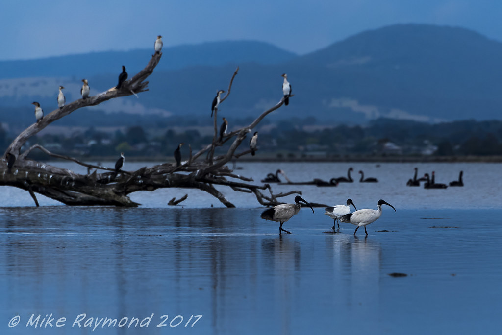
2017-11-23 Ibises Wading near the Silt Jetty
Eagle Point.jpg

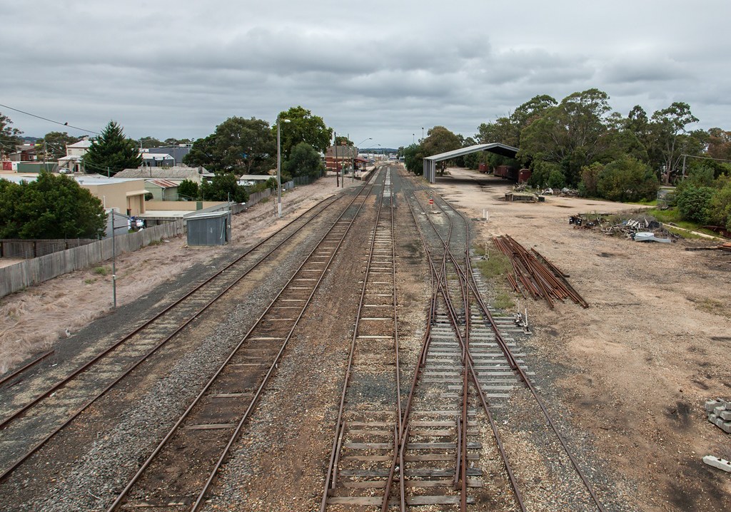
Mitchell River flats
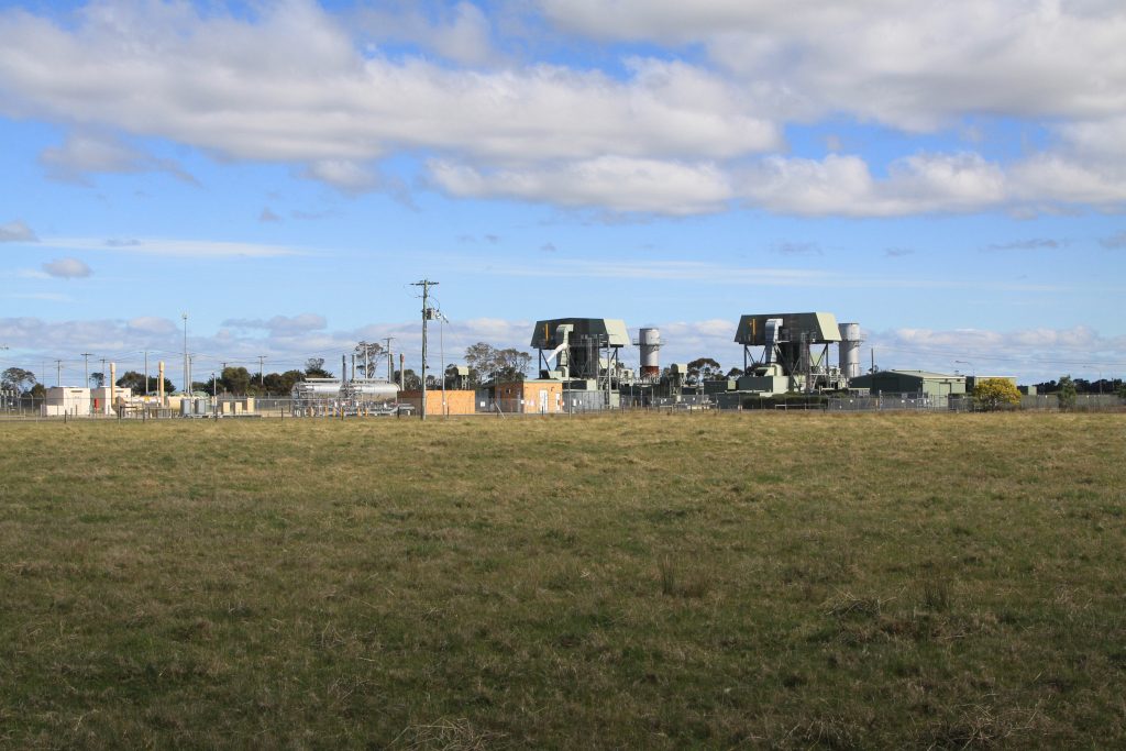
Overview of the Bairnsdale Power Station

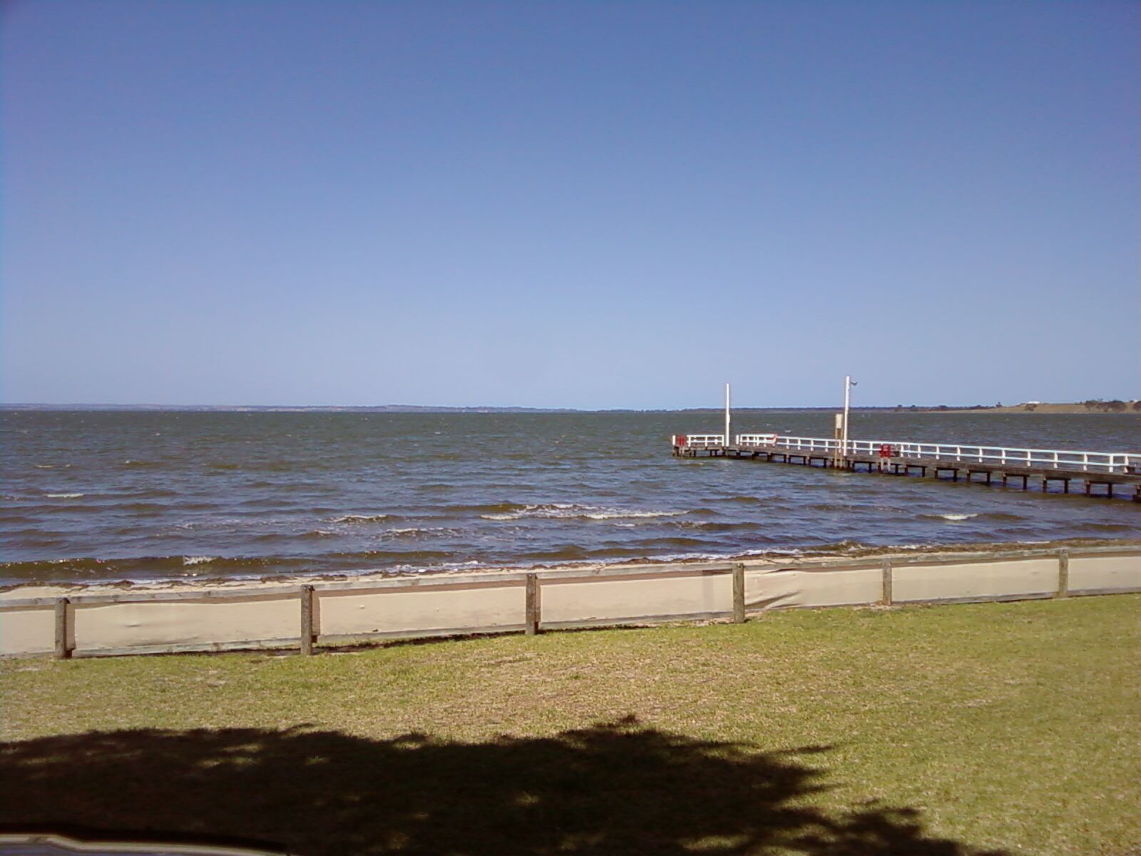
Western arm of Lake King, Paynesville, looking south
CAF 2013

Launch of Bairnsdale Nursing Program
Topographic Map of Princes Hwy, Hillside VIC, Australia
Find elevation by address:

Places near Princes Hwy, Hillside VIC, Australia:
Bairnsdale
Bairnsdale
Fernbank
884 Fernbank-glenaladale Rd
130 Sawpit Creek Rd
Dargo
Maffra
66 King St
Omeo
Cobungra
Victoria Falls Road
48 Cobungra Rd
5 Cobungra Rd
51 Cobungra Rd
75 Cobungra Ct
40 Victoria Ct
25 Fox Ct
32 Fox Ct
222 Omeo Valley Rd
Seaton
Recent Searches:
- Elevation of Kambingan Sa Pansol Atbp., Purok 7 Pansol, Candaba, Pampanga, Philippines
- Elevation of Pinewood Dr, New Bern, NC, USA
- Elevation of Mountain View, CA, USA
- Elevation of Foligno, Province of Perugia, Italy
- Elevation of Blauwestad, Netherlands
- Elevation of Bella Terra Blvd, Estero, FL, USA
- Elevation of Estates Loop, Priest River, ID, USA
- Elevation of Woodland Oak Pl, Thousand Oaks, CA, USA
- Elevation of Brownsdale Rd, Renfrew, PA, USA
- Elevation of Corcoran Ln, Suffolk, VA, USA