Elevation of 48 Cobungra Rd, Cobungra VIC, Australia
Location: Australia > Victoria > Cobungra >
Longitude: 147.403254
Latitude: -37.091780
Elevation: 980m / 3215feet
Barometric Pressure: 90KPa
Elevation Map:
Satellite Map:
Related Photos:
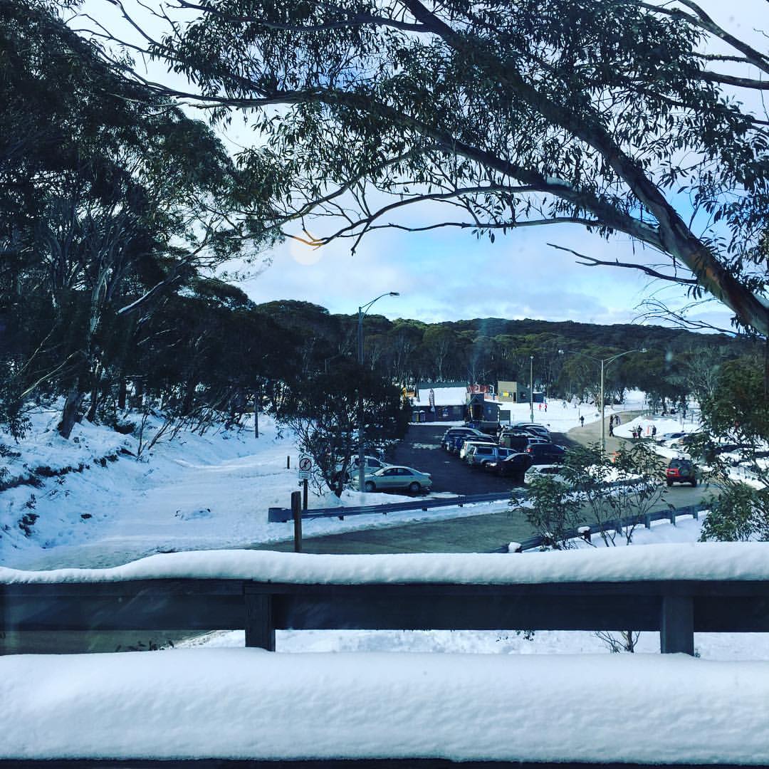
This is the view from our kitchen window. We can see the ski run which is a two minute walk from our door. By far, for convenience, 'The Cubby' at Dinner Plain is the best chalet we have stayed in so far. #dinnerplainalpinevillage #thecubbydinnerplain
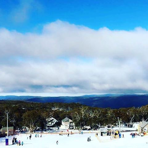
Clear view from the top #dinnerplain #dinnerplainalpinevillage #snow #snowing #white #powder #soft #ski #skiing #snowseaon #snowtube #hotham #blomquistsnow2016 #cold #brisk #alpine

First view of snow ❄️ #ClaudiaJoi #blomquistsnow2016 #dinnerplainalpinevillage #snow #happy
View from Duncan and Di's site sheds
View from Duncan and Di's site sheds

Danny's Lookout, Hotham
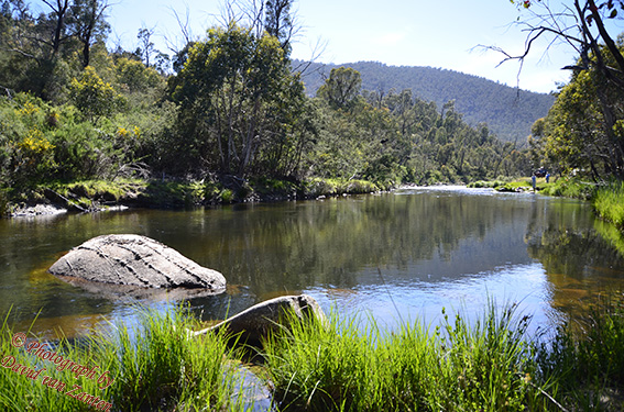
River sml
bHothamDay4-Seasons 063
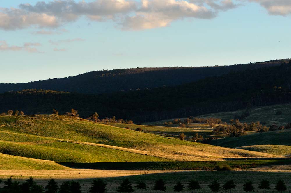
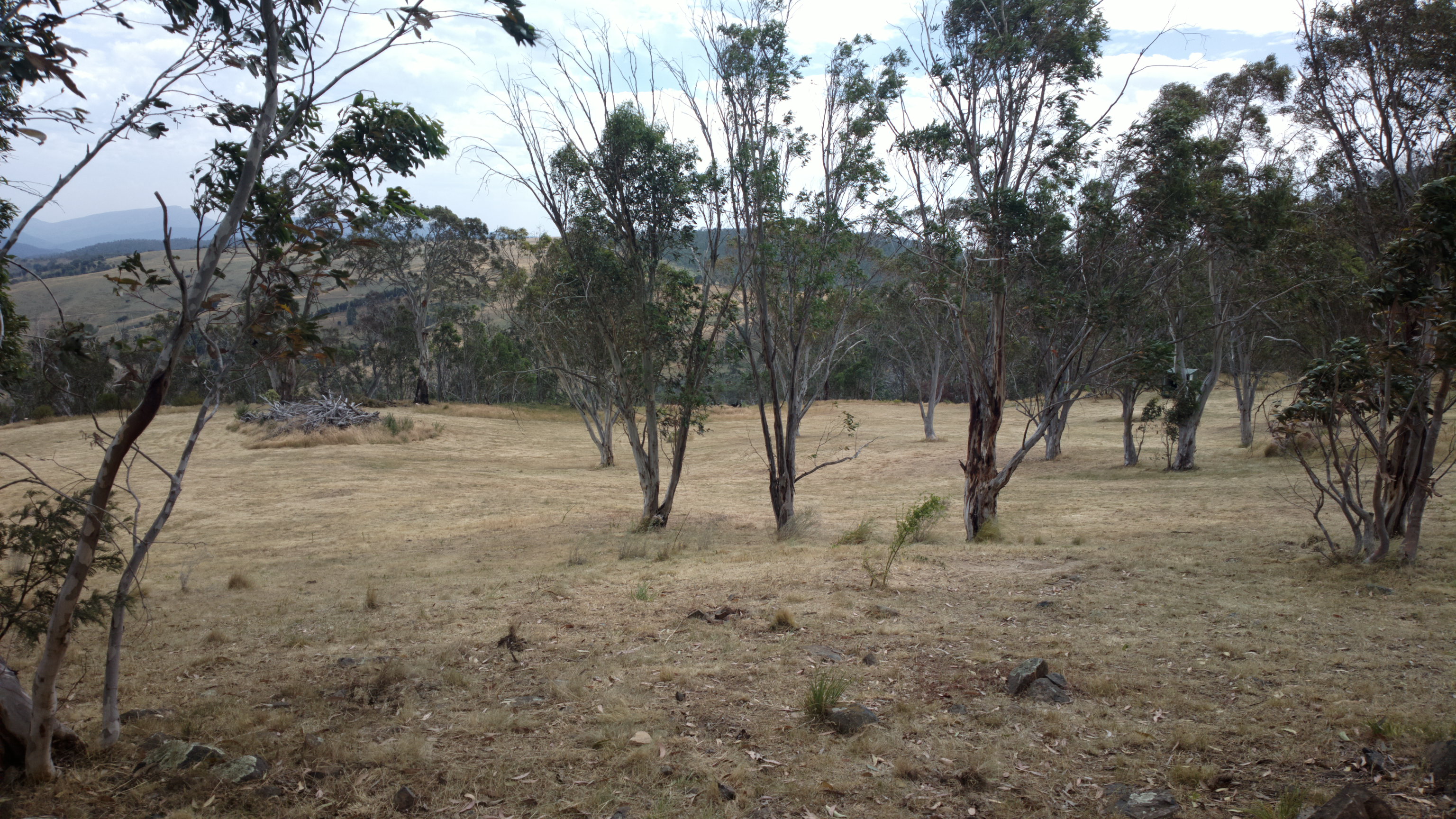
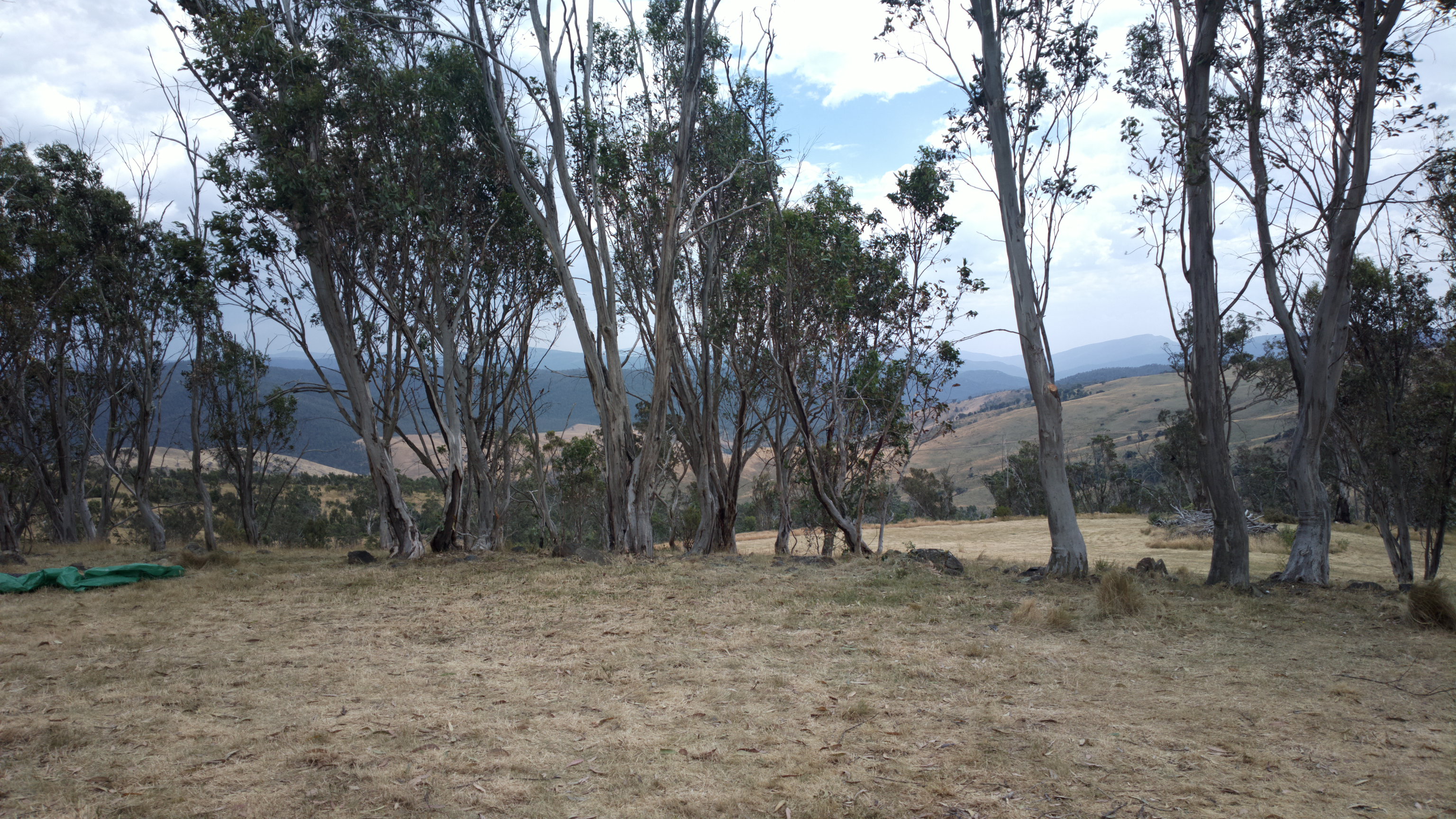
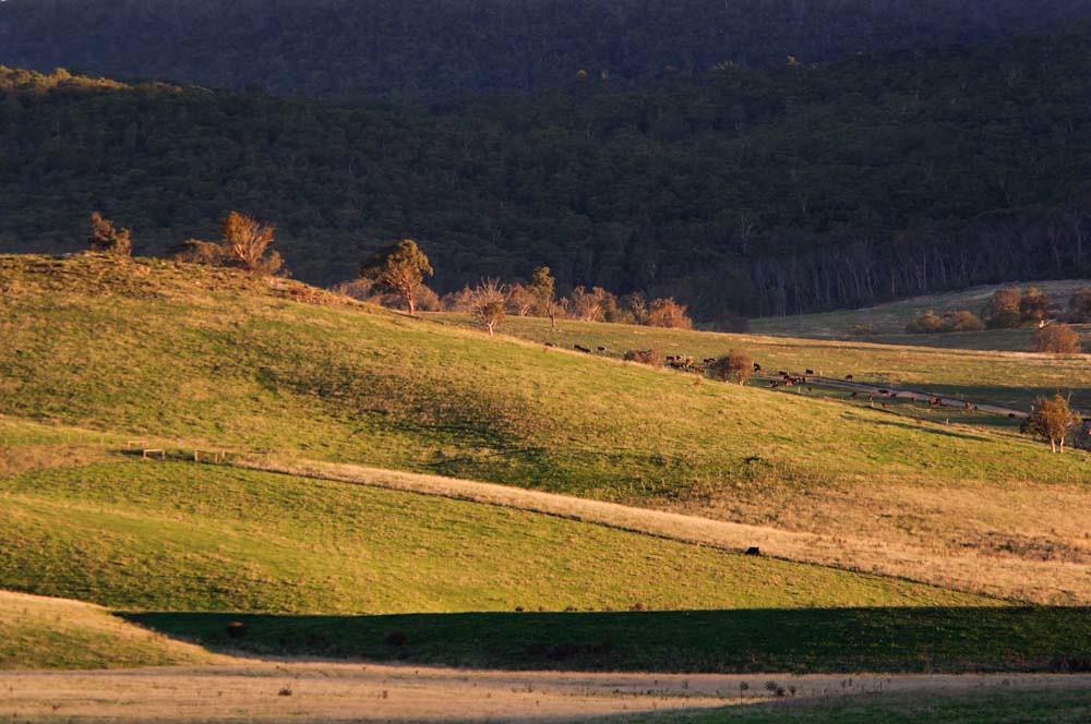
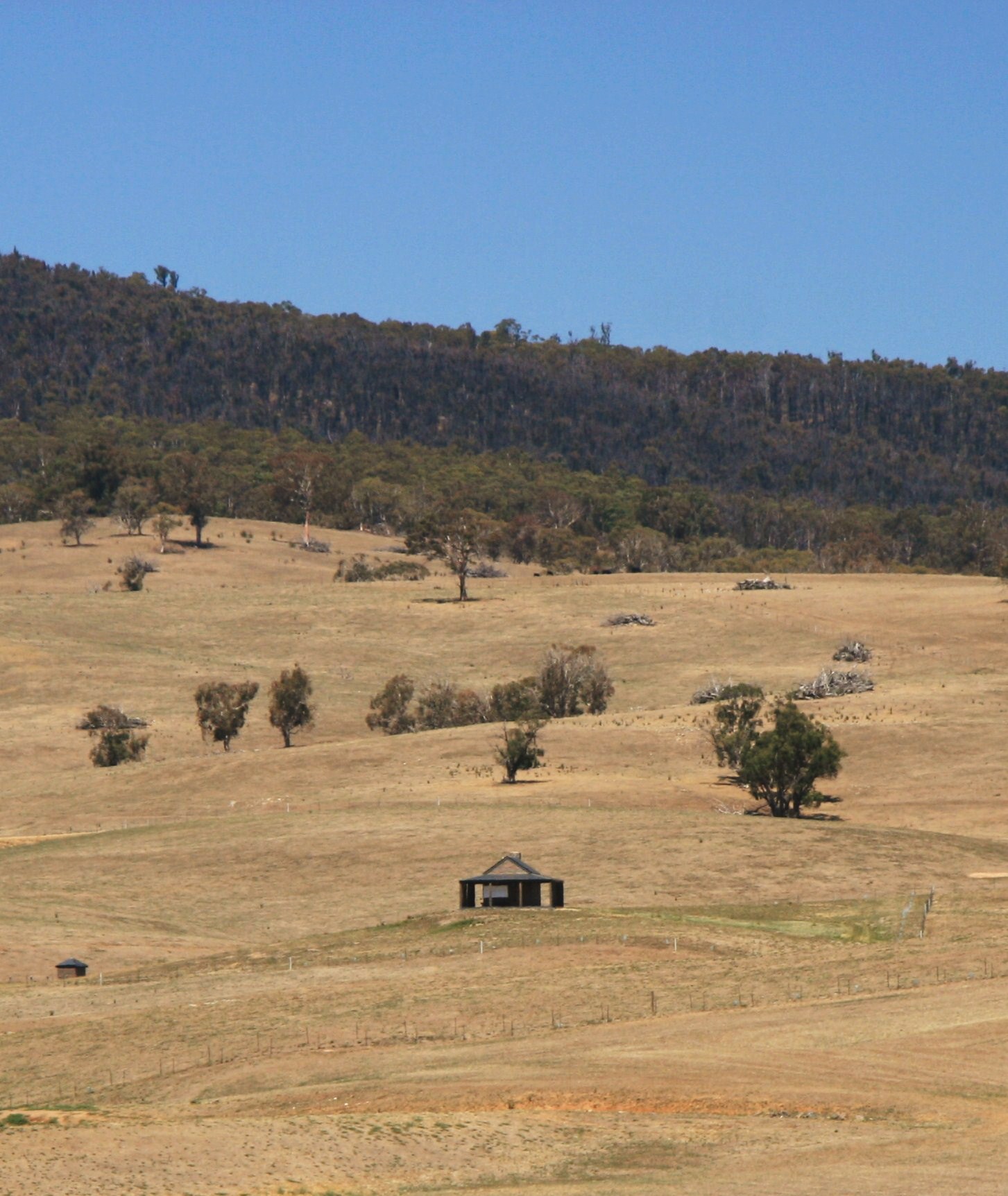
Farmland near Omeo, Great Alpine Road, Victoria, Australia
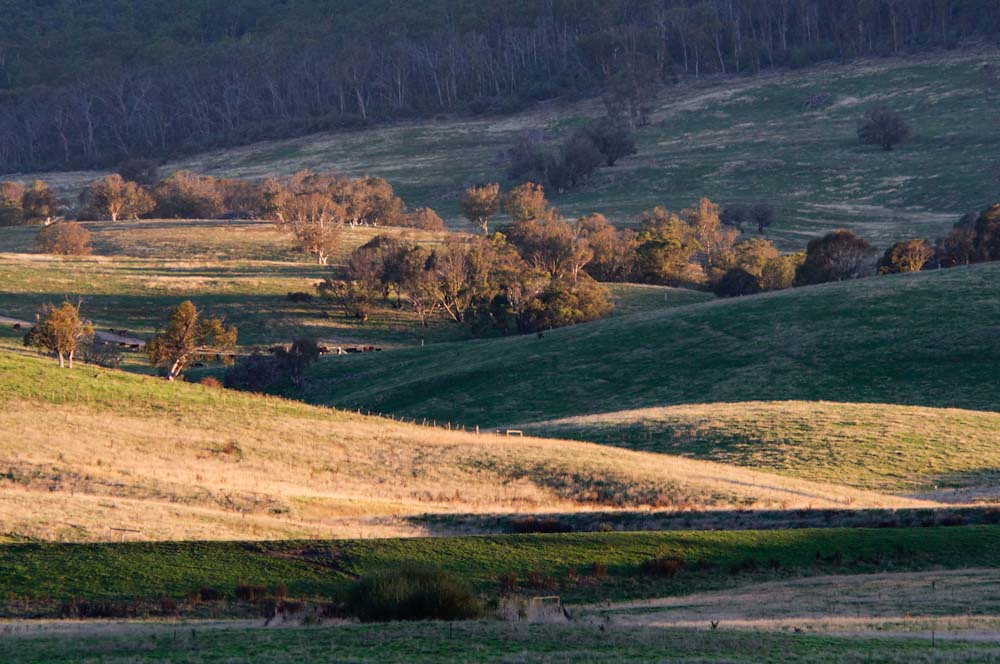
Farmland near Omeo, Great Alpine Road, Victoria, Australia
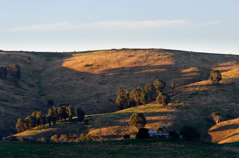
Farmland near Omeo, Great Alpine Road, Victoria, Australia

Rocky Valley Dam, Falls Creek
Farmland near Omeo, Great Alpine Road, Victoria, Australia
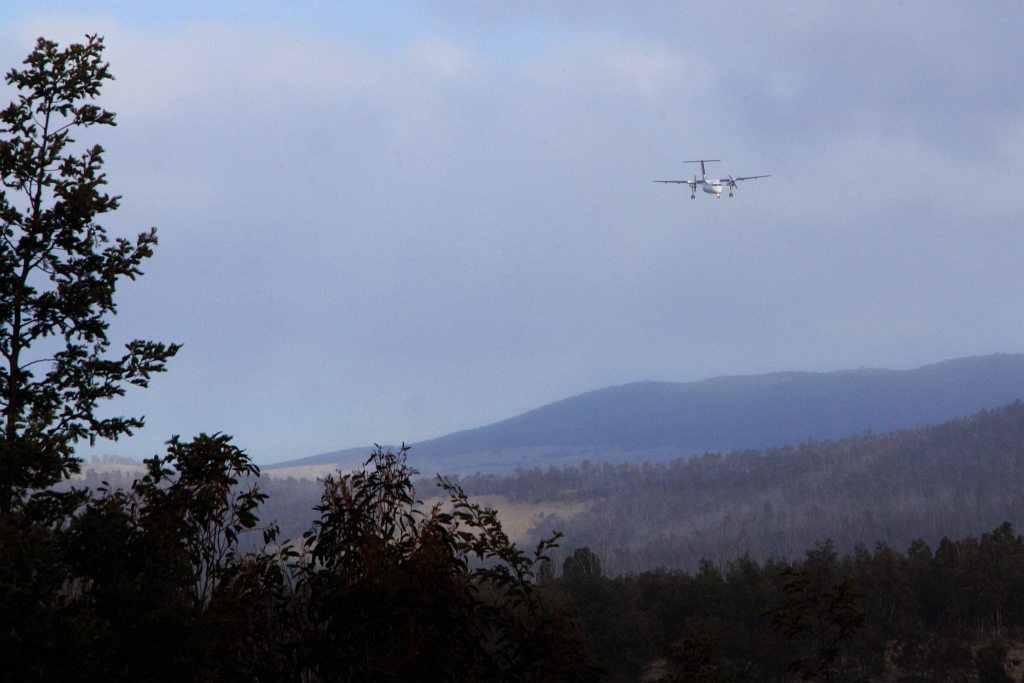
On final approach to Mount Hotham Airport

Approaching Mount Hotham: Qantas Dash-8 200 VH-TQG
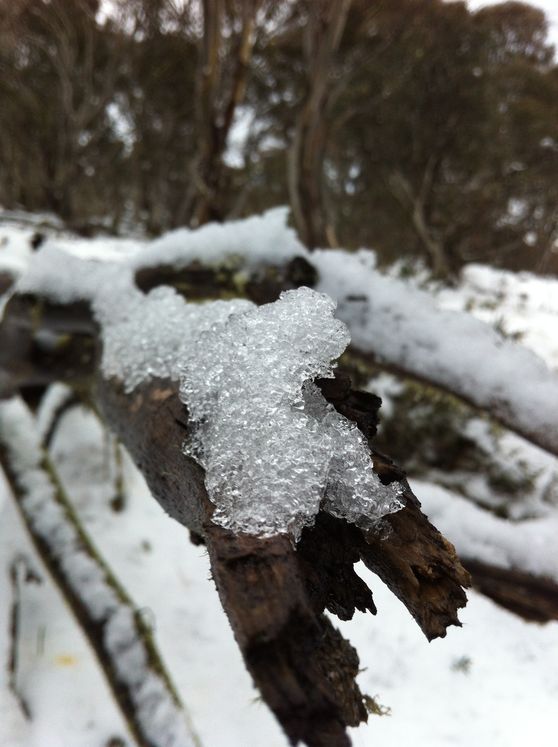
11th August - Snow Walk

For @pipdevine
Little House at Cobungra

Love. Australia.
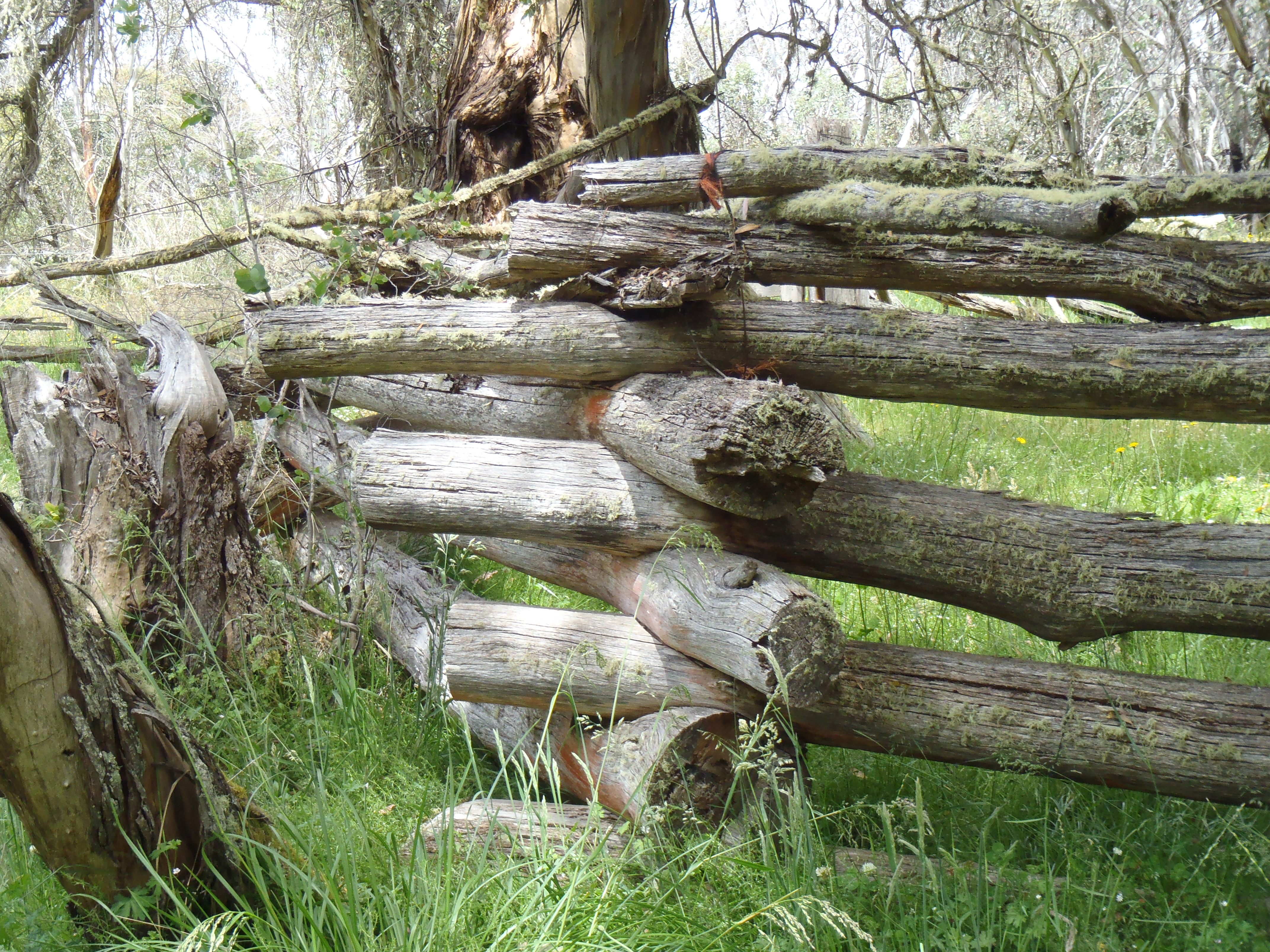
old stockyard
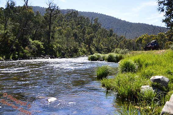
River 3 sml

Hay!
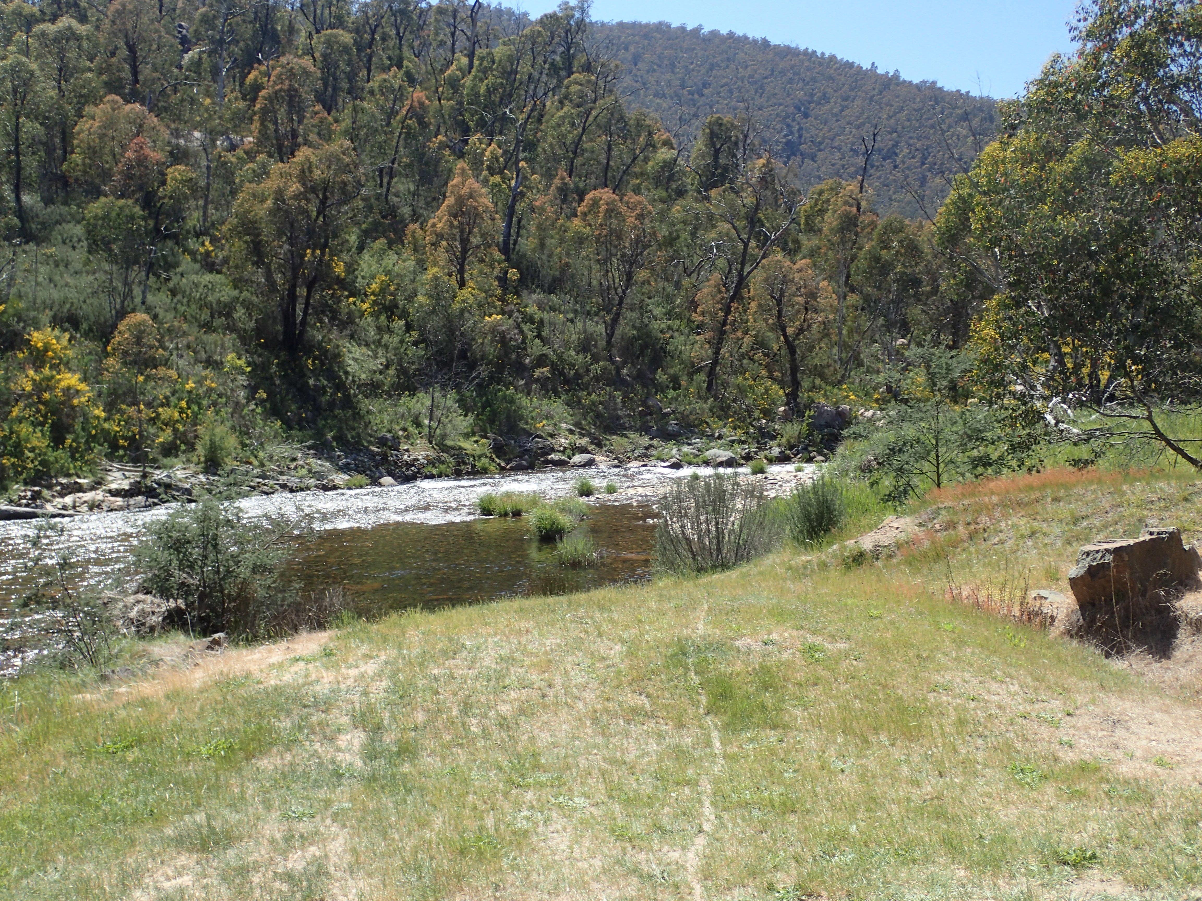
Bundara River PB100235

Falls Creek looking toward the valley
Topographic Map of 48 Cobungra Rd, Cobungra VIC, Australia
Find elevation by address:

Places near 48 Cobungra Rd, Cobungra VIC, Australia:
5 Cobungra Rd
51 Cobungra Rd
75 Cobungra Ct
25 Fox Ct
32 Fox Ct
40 Victoria Ct
Cobungra
Victoria Falls Road
Dinner Plain
141 Bogong High Plains Rd
Omeo
222 Omeo Valley Rd
Cope Hut
Glen Valley
Falls Creek
Dibbins Hut
Mount Hotham Alpine Resort (unincorporated)
Hotham Heights
Arlberg Hotham
35 Lawlers Ct
Recent Searches:
- Elevation of Pykes Down, Ivybridge PL21 0BY, UK
- Elevation of Jalan Senandin, Lutong, Miri, Sarawak, Malaysia
- Elevation of Bilohirs'k
- Elevation of 30 Oak Lawn Dr, Barkhamsted, CT, USA
- Elevation of Luther Road, Luther Rd, Auburn, CA, USA
- Elevation of Unnamed Road, Respublika Severnaya Osetiya — Alaniya, Russia
- Elevation of Verkhny Fiagdon, North Ossetia–Alania Republic, Russia
- Elevation of F. Viola Hiway, San Rafael, Bulacan, Philippines
- Elevation of Herbage Dr, Gulfport, MS, USA
- Elevation of Lilac Cir, Haldimand, ON N3W 2G9, Canada