Elevation of 40 Victoria Ct, Cobungra VIC, Australia
Location: Australia > Victoria > Cobungra >
Longitude: 147.414384
Latitude: -37.082811
Elevation: 1118m / 3668feet
Barometric Pressure: 89KPa
Elevation Map:
Satellite Map:
Related Photos:

View from Duncan and Di's site sheds

View from Duncan and Di's site sheds

Cows at Cobungra

Hay!

The New Cobungra Station Homestead

Approaching Mount Hotham: Qantas Dash-8 200 VH-TQG

Cobungra Station Gate
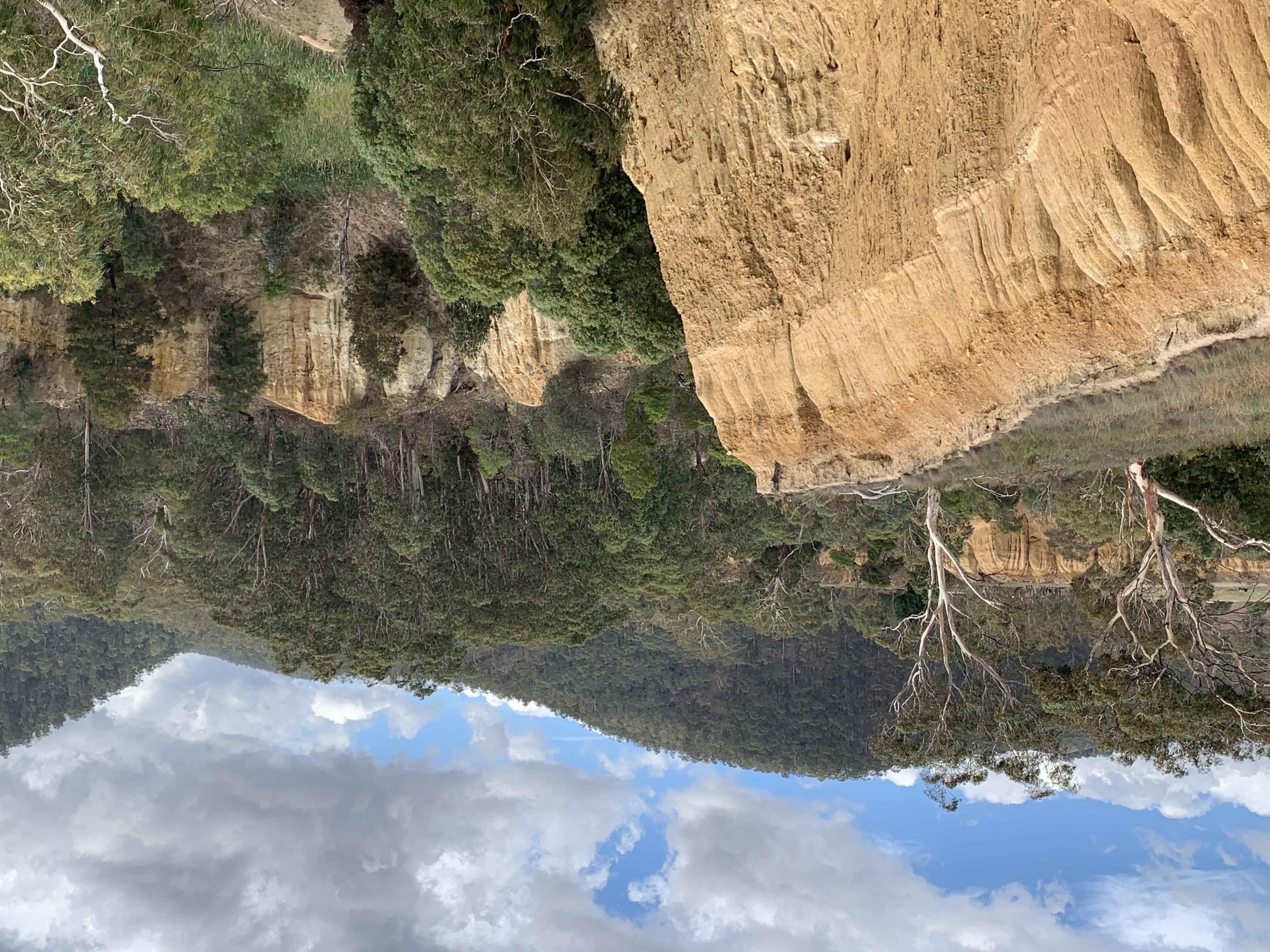
Oriental Gold Claims Historic Area
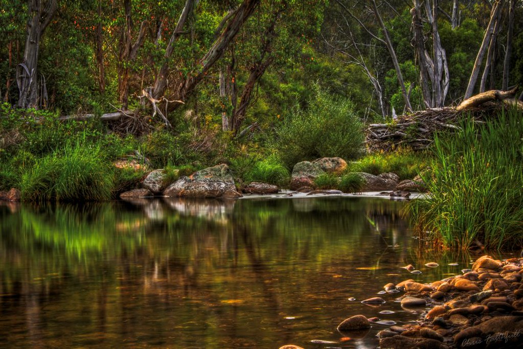
Morning on the Mitta

Farmland near Omeo, Great Alpine Road, Victoria, Australia

Farmland near Omeo, Great Alpine Road, Victoria, Australia

20140127_3121 Outside Omeo township

Quintessential Australia

omeo township

Farmland near Omeo, Great Alpine Road, Victoria, Australia

Farmland near Omeo, Great Alpine Road, Victoria, Australia

Historic Omeo gold claims where hydraulic sluicing was used in the 1860s

Love. Australia.

Omeo bairnsdale

Danny's Lookout, Hotham

Rocky Valley Dam, Falls Creek

Bundara River PB100235

River sml
Topographic Map of 40 Victoria Ct, Cobungra VIC, Australia
Find elevation by address:

Places near 40 Victoria Ct, Cobungra VIC, Australia:
75 Cobungra Ct
25 Fox Ct
32 Fox Ct
48 Cobungra Rd
51 Cobungra Rd
5 Cobungra Rd
Cobungra
Victoria Falls Road
141 Bogong High Plains Rd
Dinner Plain
Omeo
222 Omeo Valley Rd
Glen Valley
Cope Hut
Falls Creek
Dibbins Hut
Mount Hotham Alpine Resort (unincorporated)
Hotham Heights
Arlberg Hotham
35 Lawlers Ct
Recent Searches:
- Elevation of 6 Rue Jules Ferry, Beausoleil, France
- Elevation of Sattva Horizon, 4JC6+G9P, Vinayak Nagar, Kattigenahalli, Bengaluru, Karnataka, India
- Elevation of Great Brook Sports, Gold Star Hwy, Groton, CT, USA
- Elevation of 10 Mountain Laurels Dr, Nashua, NH, USA
- Elevation of 16 Gilboa Ln, Nashua, NH, USA
- Elevation of Laurel Rd, Townsend, TN, USA
- Elevation of 3 Nestling Wood Dr, Long Valley, NJ, USA
- Elevation of Ilungu, Tanzania
- Elevation of Yellow Springs Road, Yellow Springs Rd, Chester Springs, PA, USA
- Elevation of Rēzekne Municipality, Latvia