Elevation of Bogong High Plains Rd, Glen Valley VIC, Australia
Location: Australia > Victoria > East Gippsland Shire > Glen Valley >
Longitude: 147.462089
Latitude: -36.925873
Elevation: 822m / 2697feet
Barometric Pressure: 92KPa
Elevation Map:
Satellite Map:
Related Photos:
Mt Hotham from Mt Cope
The view from Mt Cope
Mt McKay from Mt Cope
Australia_Victoria_Falls Creek (Nikon FM2 & Fuji Reala)
Spagnum bogs, Falls Creek (best viewed full screen)

Cope Hut interior
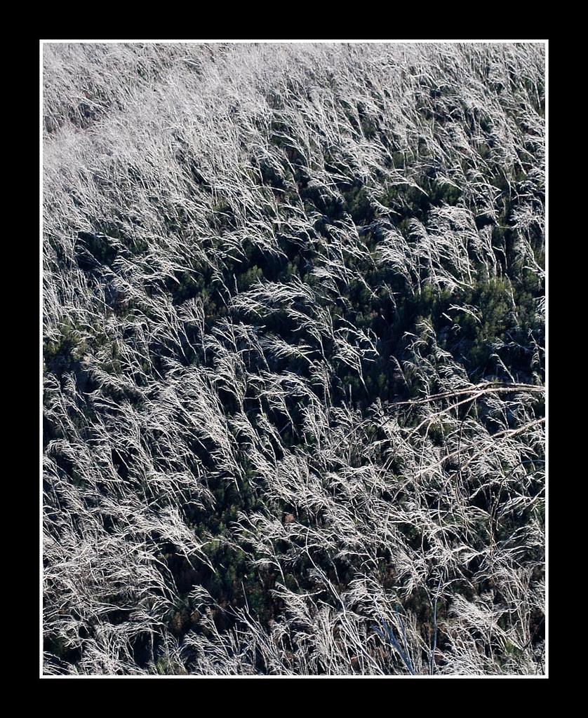
Snow gum silver skeletons from 2003 fires (best viewed full screen)
Winter in the high country
Snow gum silver skeletons from 2003 fires (best viewed full screen)
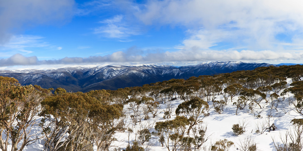
Alpine panorama
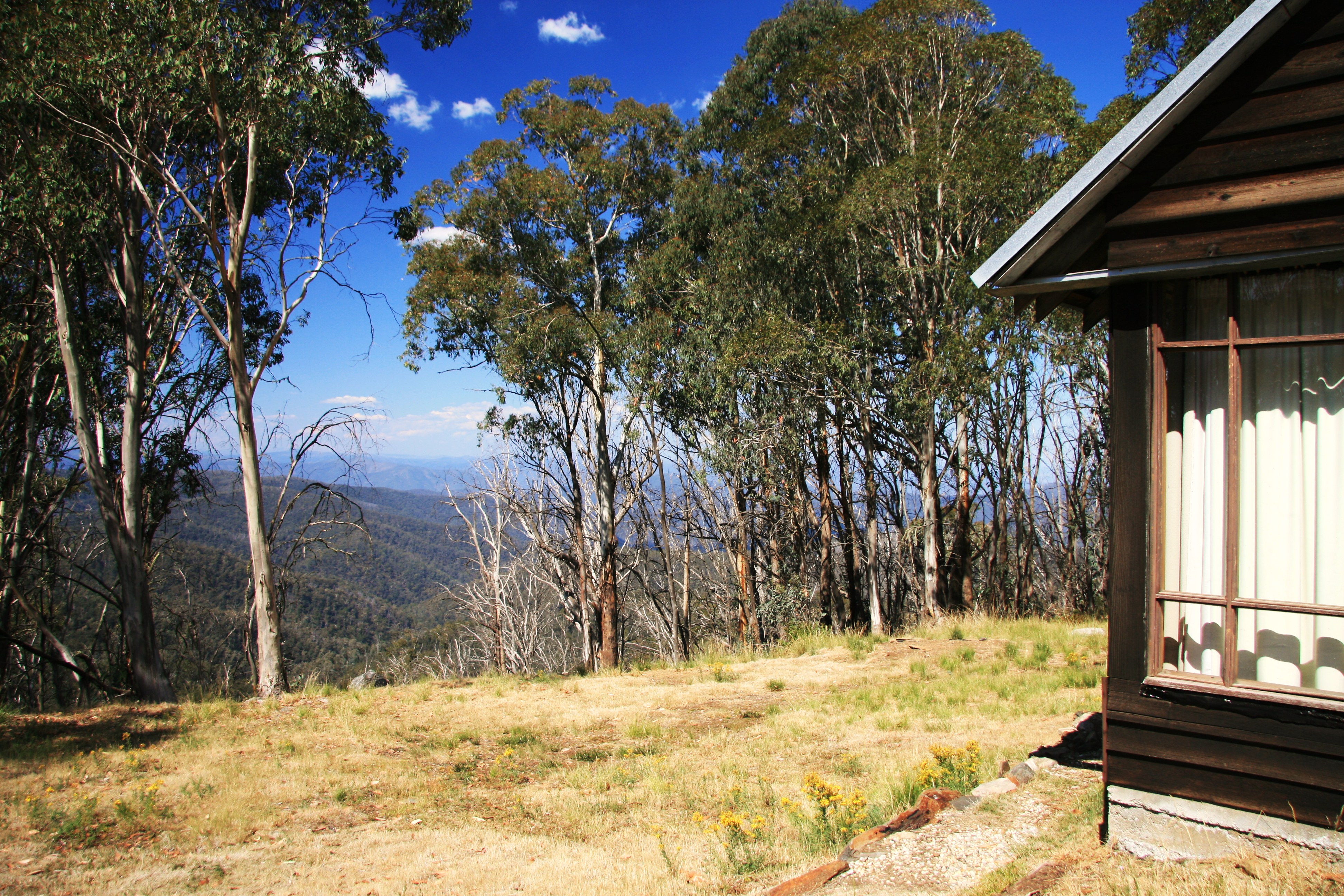
Nice View
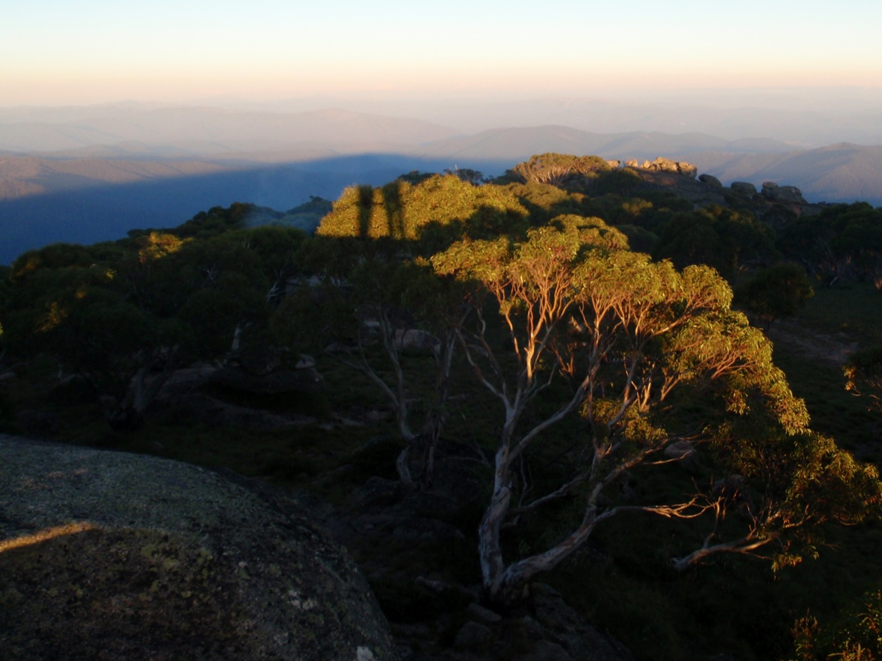
View from Mt Wills
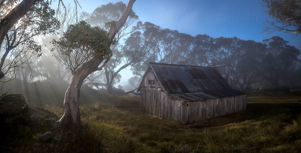
Rays in the Moonlight at Wallace`s Hut ........

Danny's Lookout, Hotham
River sml

Rocky Valley Dam, Falls Creek
Cope Hut
Mt Cope Snow Gums
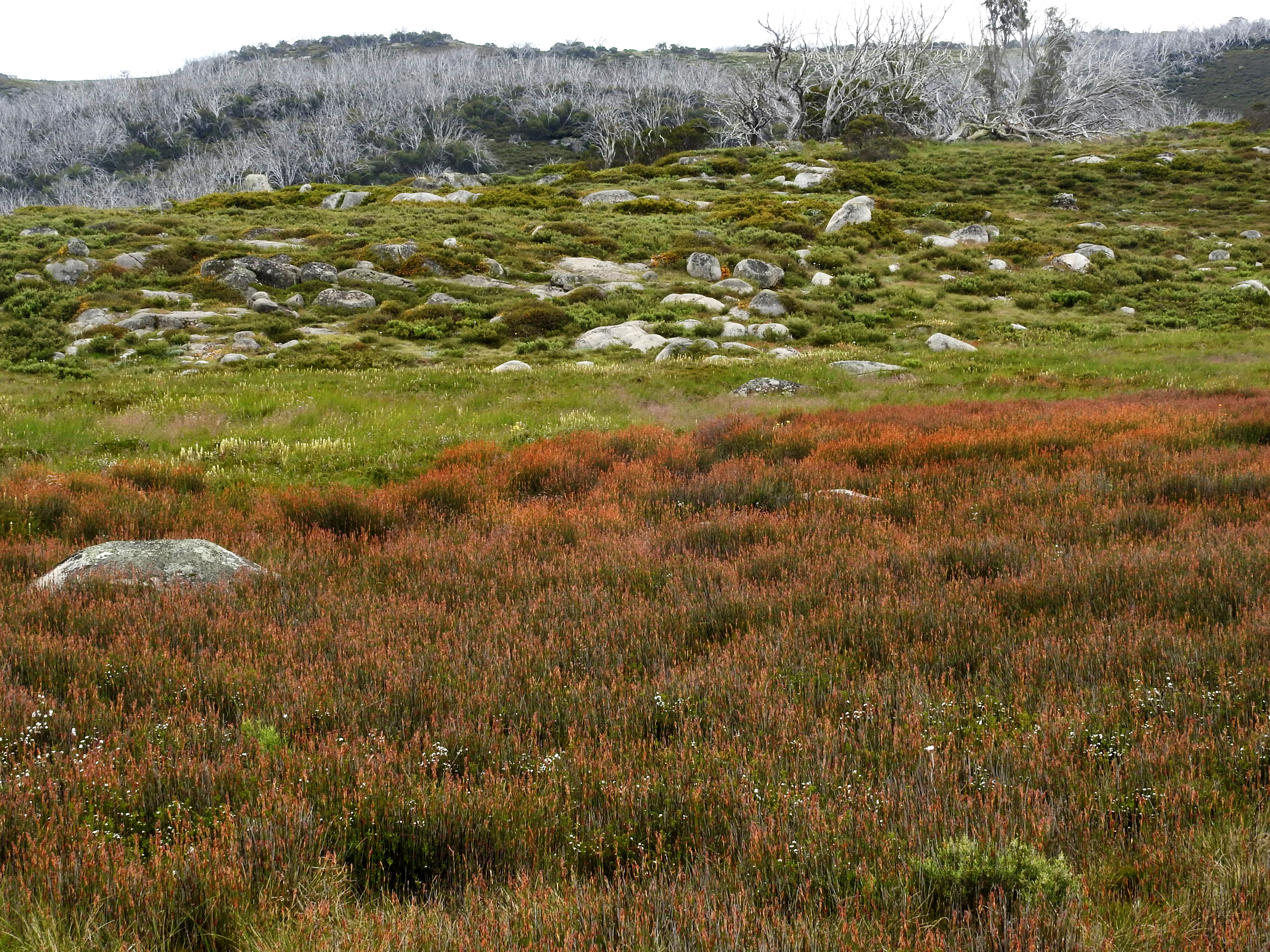
Spagnum bogs
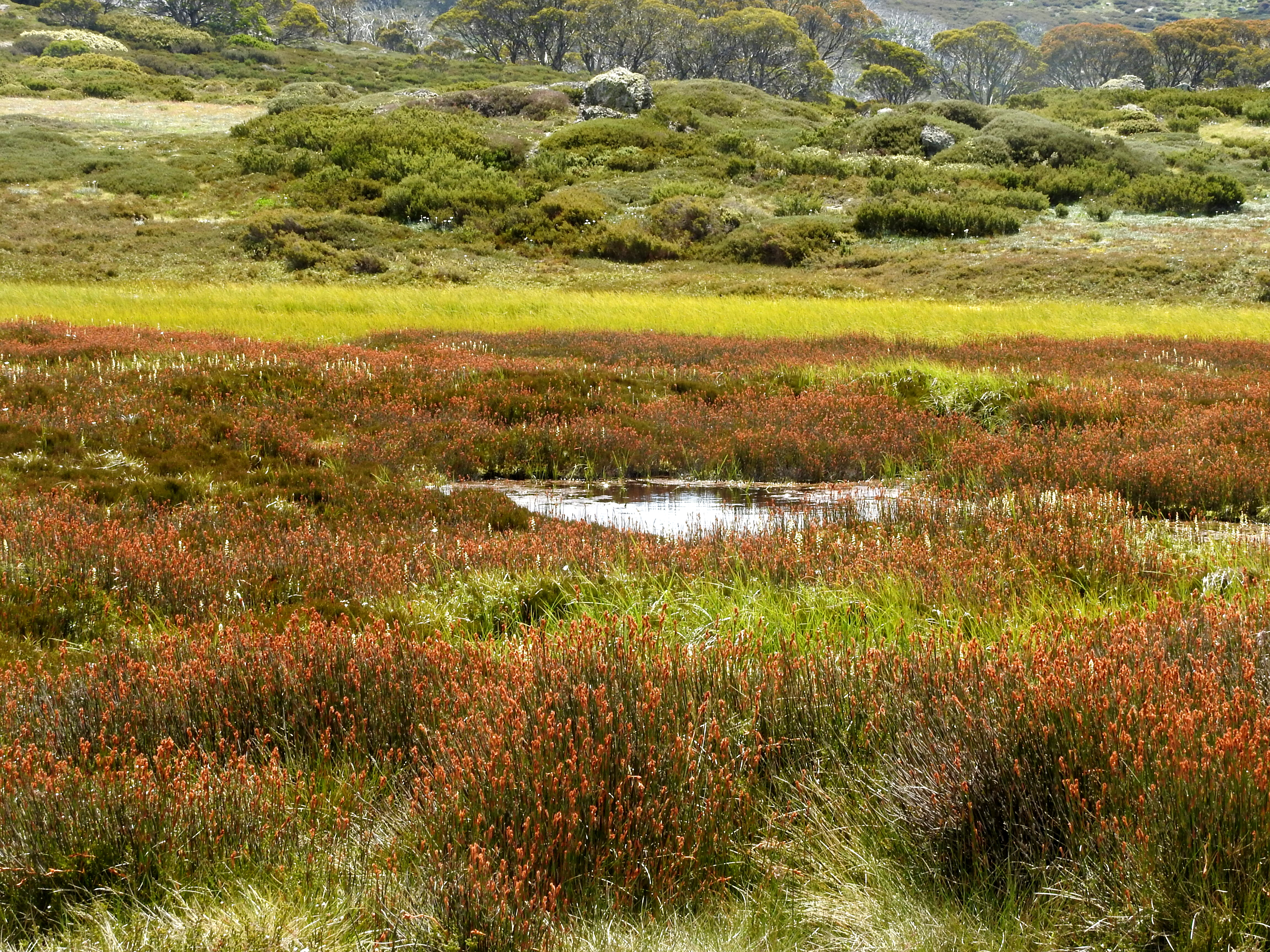
Spagnum bogs
Bleached Snow Gums
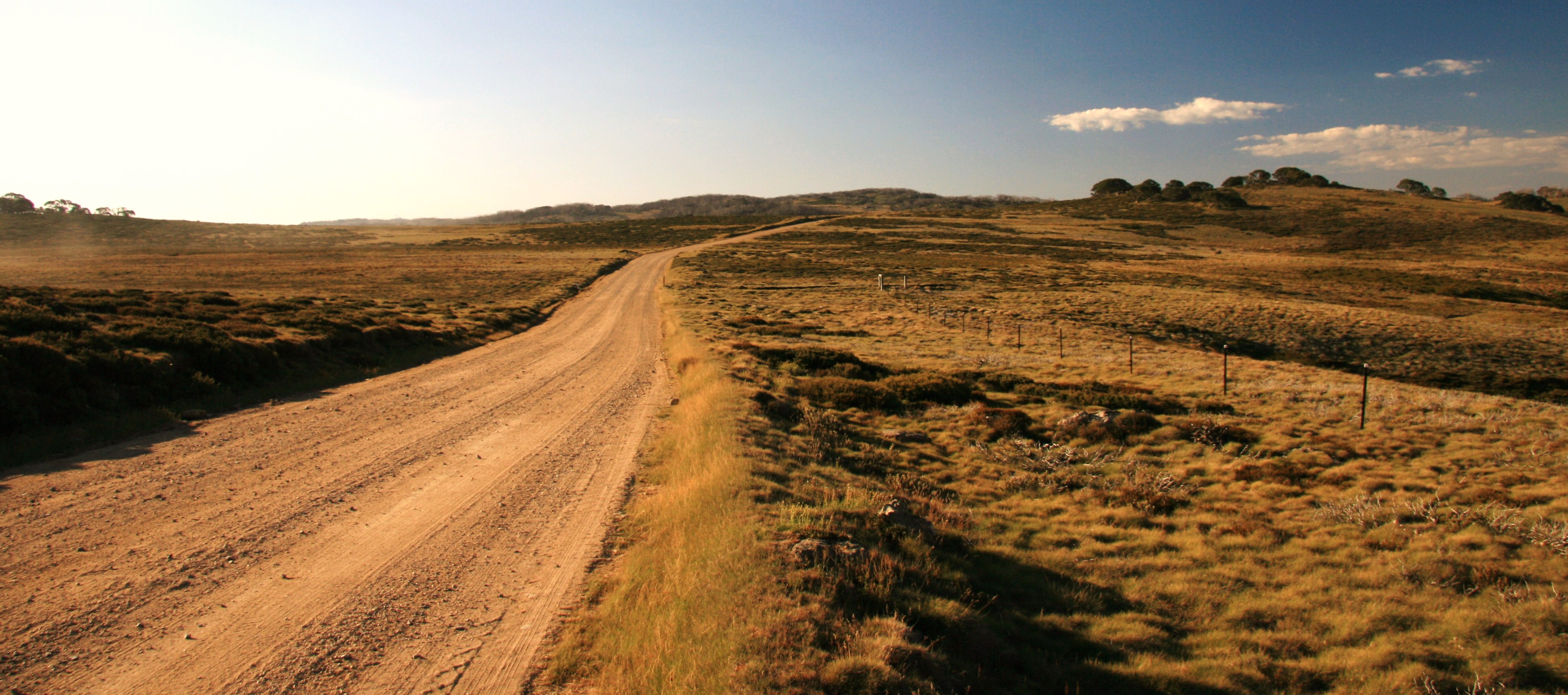
Bogong High Plains Road
Falls Creek in January
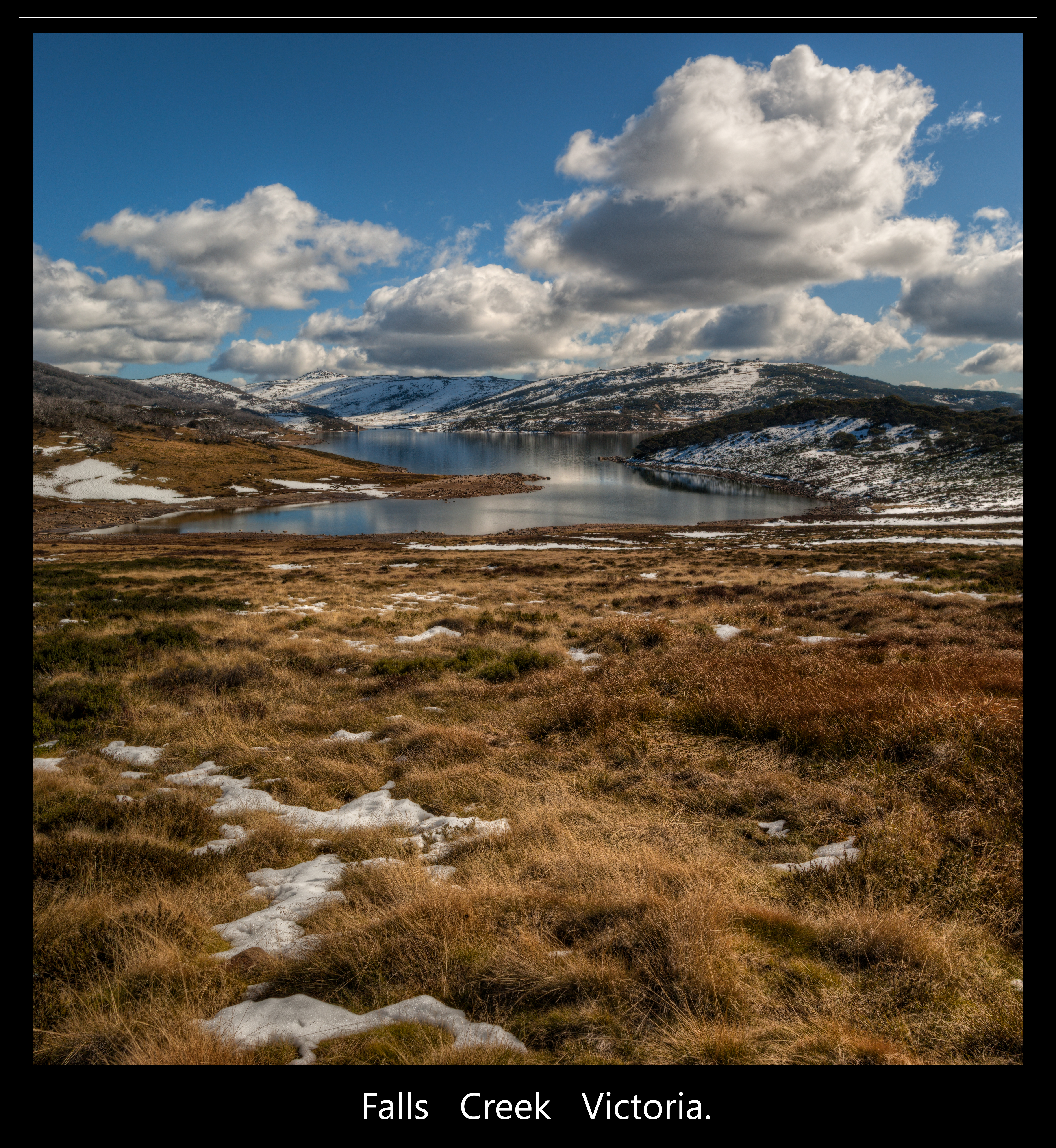
falls creek
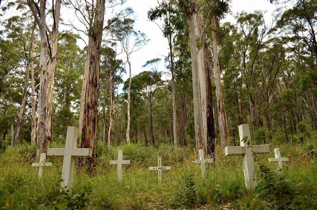
Glen Wills Cemetery
Topographic Map of Bogong High Plains Rd, Glen Valley VIC, Australia
Find elevation by address:

Places near Bogong High Plains Rd, Glen Valley VIC, Australia:
Glen Valley
40 Victoria Ct
Victoria Falls Road
25 Fox Ct
32 Fox Ct
222 Omeo Valley Rd
Cope Hut
75 Cobungra Ct
Cobungra
51 Cobungra Rd
48 Cobungra Rd
5 Cobungra Rd
Falls Creek
Omeo
Dinner Plain
Dibbins Hut
Mount Hotham Alpine Resort (unincorporated)
Hotham Heights
Arlberg Hotham
35 Lawlers Ct
Recent Searches:
- Elevation of 12 Hutchinson Woods Dr, Fletcher, NC, USA
- Elevation of Holloway Ave, San Francisco, CA, USA
- Elevation of Norfolk, NY, USA
- Elevation of - San Marcos Pass Rd, Santa Barbara, CA, USA
- Elevation of th Pl SE, Issaquah, WA, USA
- Elevation of 82- D Rd, Captain Cook, HI, USA
- Elevation of Harlow CM20 2PR, UK
- Elevation of Shenyang Agricultural University, Dong Ling Lu, Shen He Qu, Shen Yang Shi, Liao Ning Sheng, China
- Elevation of Alpha Dr, Melbourne, FL, USA
- Elevation of Hiroshima University, 1-chōme-3-2 Kagamiyama, Higashihiroshima, Hiroshima -, Japan