Elevation of Portage la Prairie, MB, Canada
Location: Canada > Manitoba > Division No. 9 >
Longitude: -98.290325
Latitude: 49.9723205
Elevation: 260m / 853feet
Barometric Pressure: 98KPa
Elevation Map:
Satellite Map:
Related Photos:
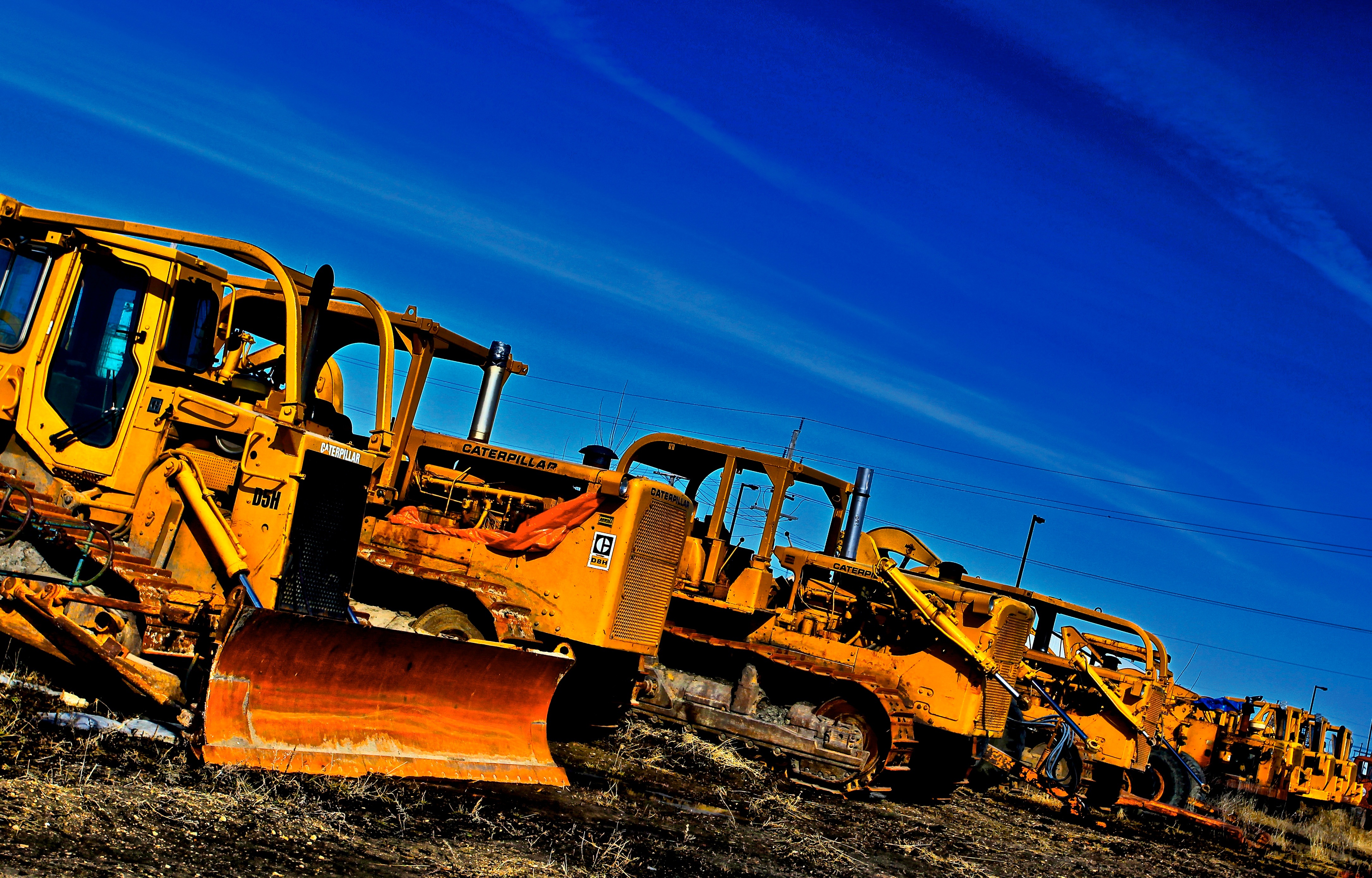
Caterpillar Bone Yard

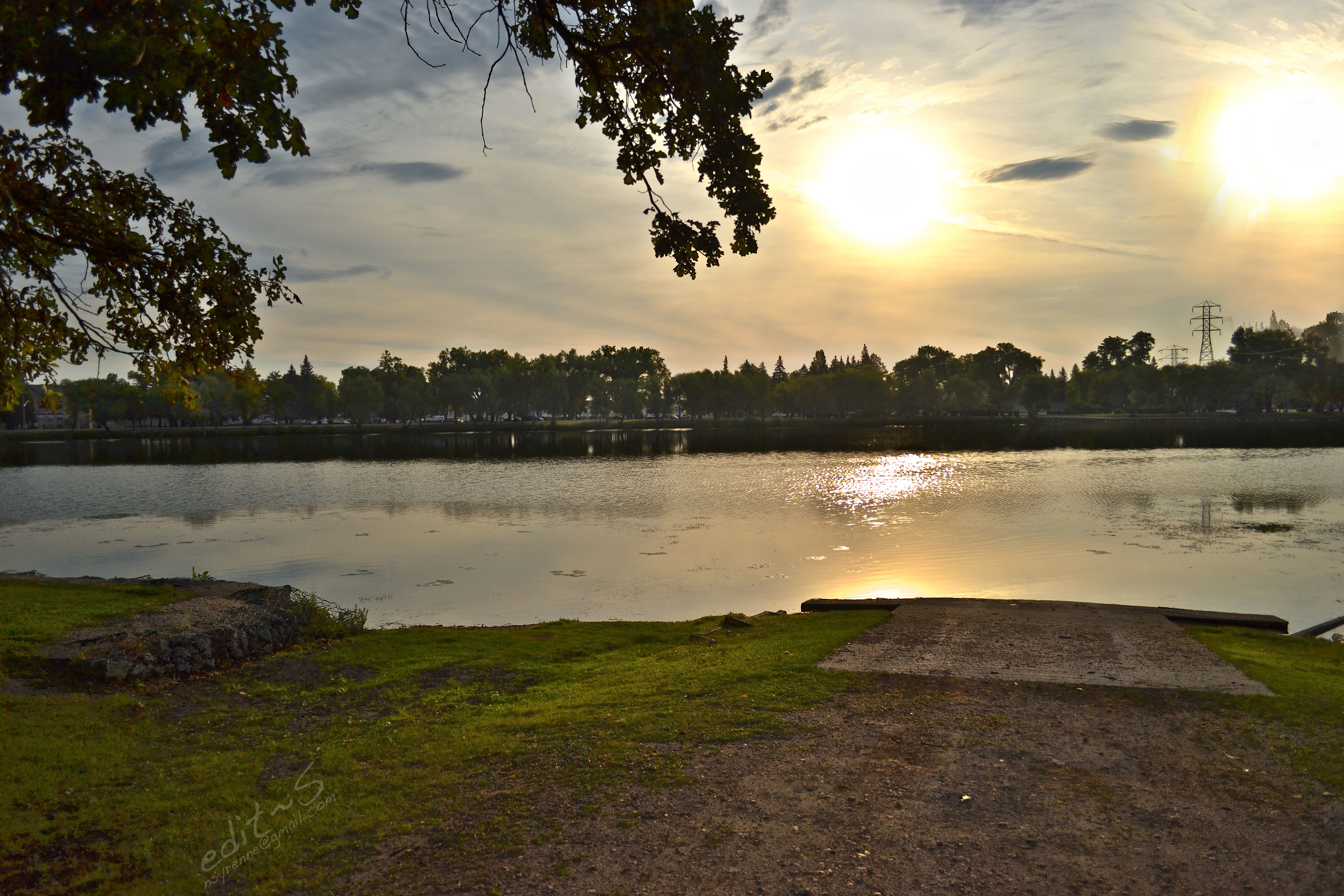
#island park
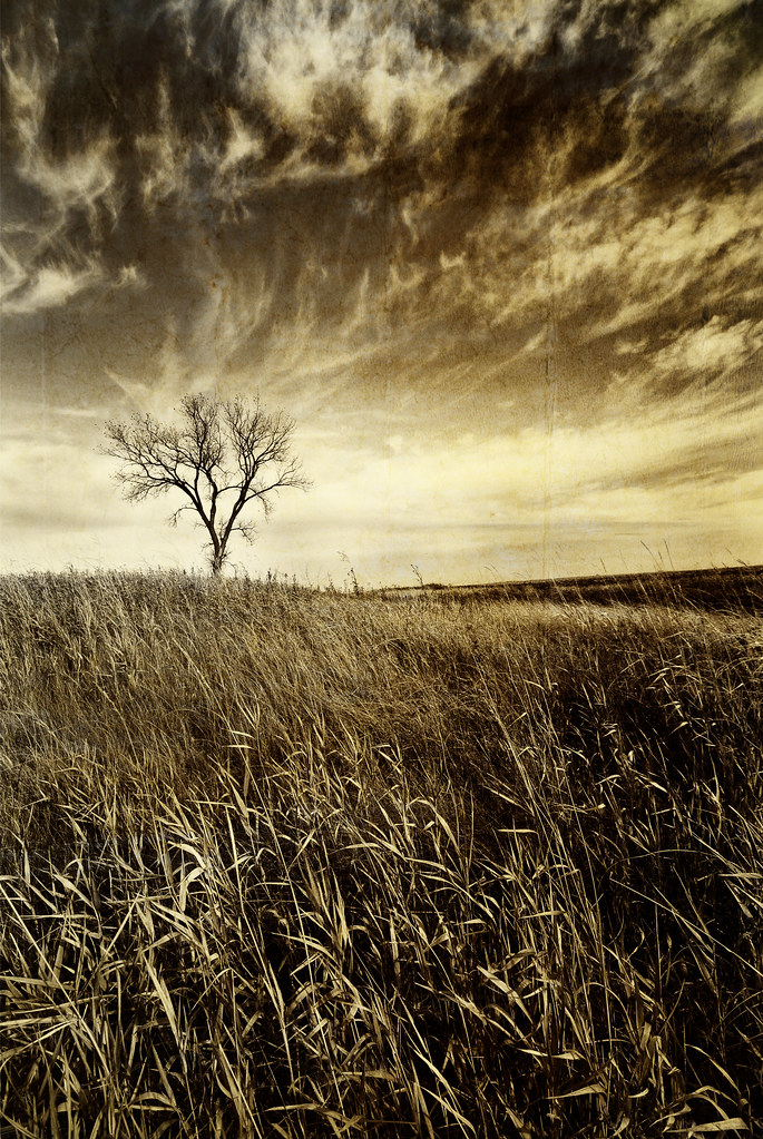
Prairie tree...
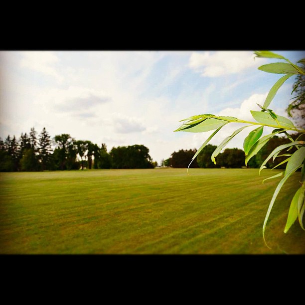
#field #leaf
Double Up
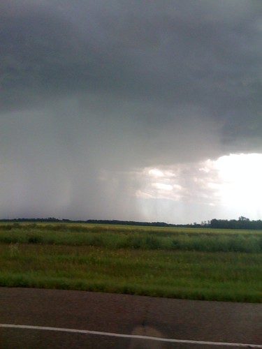
Crazy Sky
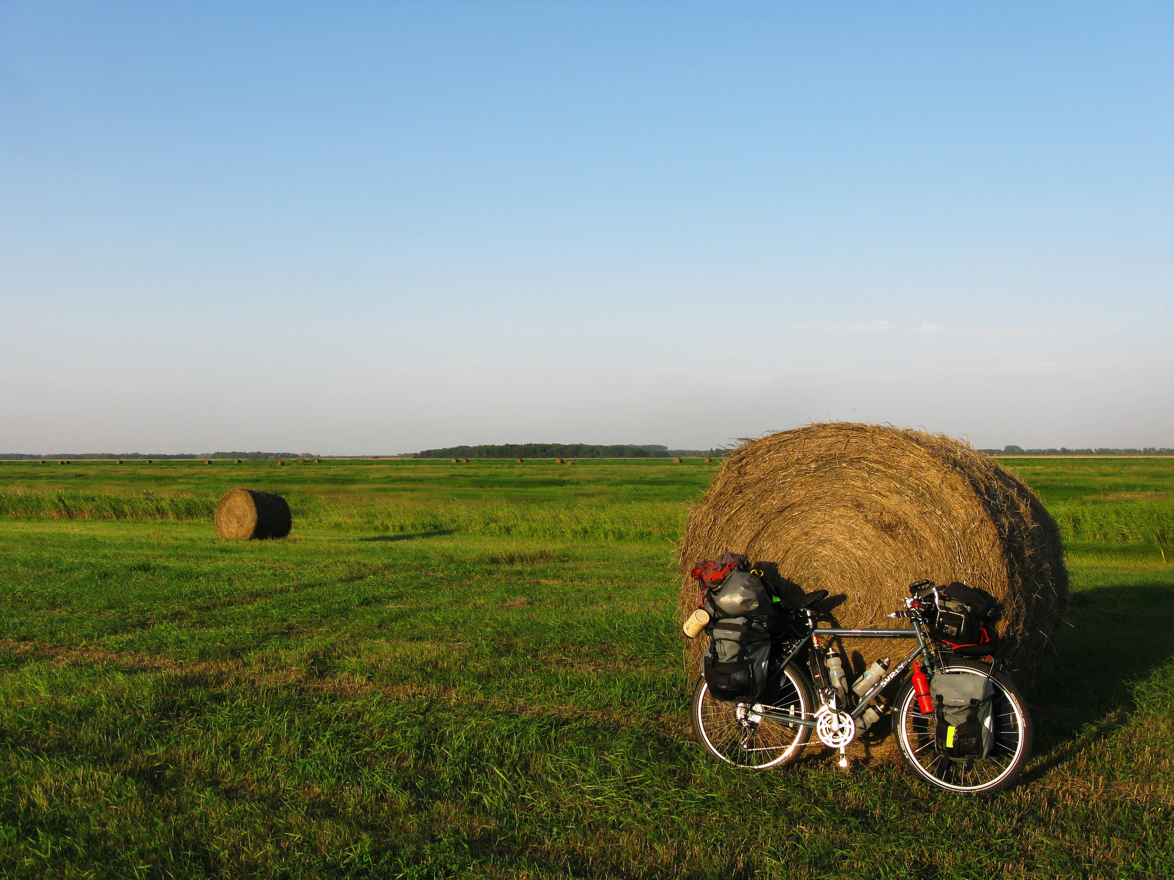
Garmin sent me astray..

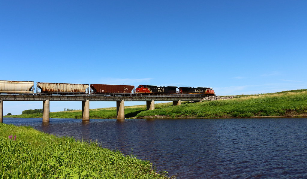
IC 1005
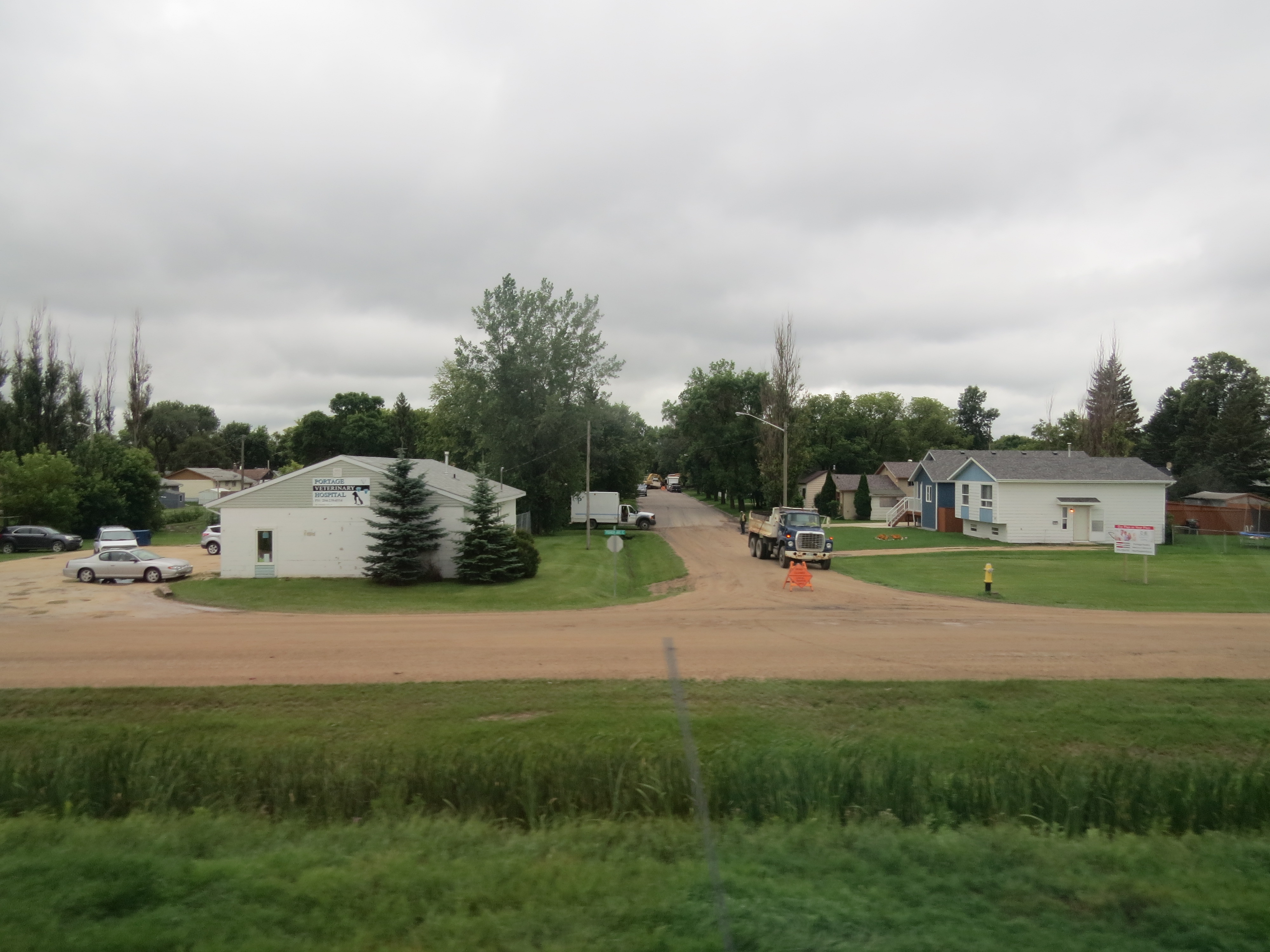
Passing through Portage la Prairie, Manitoba, Canada
IMG_7037-1
Topographic Map of Portage la Prairie, MB, Canada
Find elevation by address:

Places in Portage la Prairie, MB, Canada:
Places near Portage la Prairie, MB, Canada:
Countess Ave, Portage la Prairie, MB R1N 0T3, Canada
202 Crescent Rd W
Southport
MB-, Southport, MB R0H 1N1, Canada
Division No. 9
High Bluff
Portage La Prairie
Oakville
Saint Claude
Haywood
Poplar Point
Trans-Canada Hwy, Oakville, MB R0H 0Y0, Canada
Elm Creek
Railway St, Elm Creek, MB R0G 0N0, Canada
Stephenfield
Dufferin
Graysville
60 1st Ave, Graysville, MB R0G 0T0, Canada
Elie
Carman
Recent Searches:
- Elevation of Corso Fratelli Cairoli, 35, Macerata MC, Italy
- Elevation of Tallevast Rd, Sarasota, FL, USA
- Elevation of 4th St E, Sonoma, CA, USA
- Elevation of Black Hollow Rd, Pennsdale, PA, USA
- Elevation of Oakland Ave, Williamsport, PA, USA
- Elevation of Pedrógão Grande, Portugal
- Elevation of Klee Dr, Martinsburg, WV, USA
- Elevation of Via Roma, Pieranica CR, Italy
- Elevation of Tavkvetili Mountain, Georgia
- Elevation of Hartfords Bluff Cir, Mt Pleasant, SC, USA