Elevation of Oakville, MB R0H, Canada
Location: Canada > Manitoba > Division No. 9 > Portage La Prairie >
Longitude: -98.003889
Latitude: 49.9294439
Elevation: 247m / 810feet
Barometric Pressure: 98KPa
Elevation Map:
Satellite Map:
Related Photos:
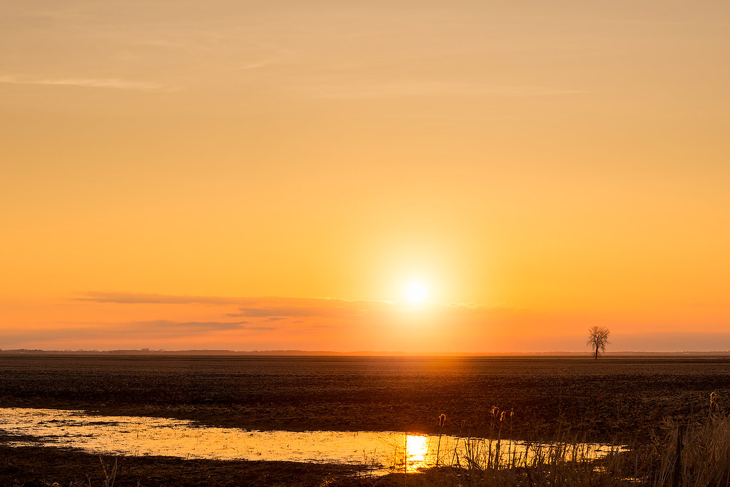
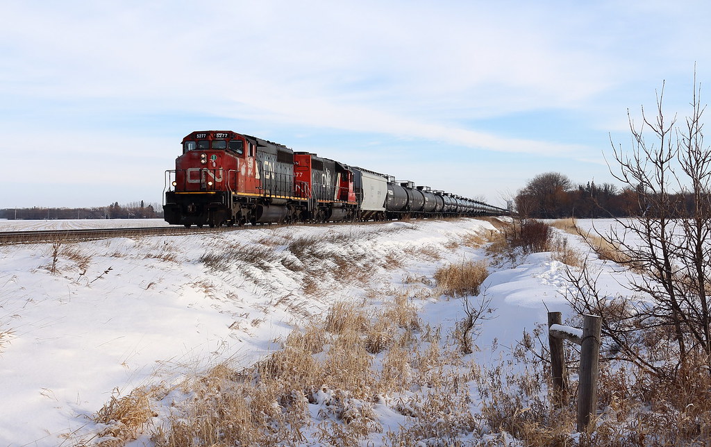
Flatland Madness
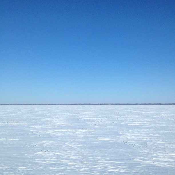
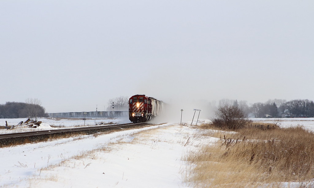
Blinding Brilliance
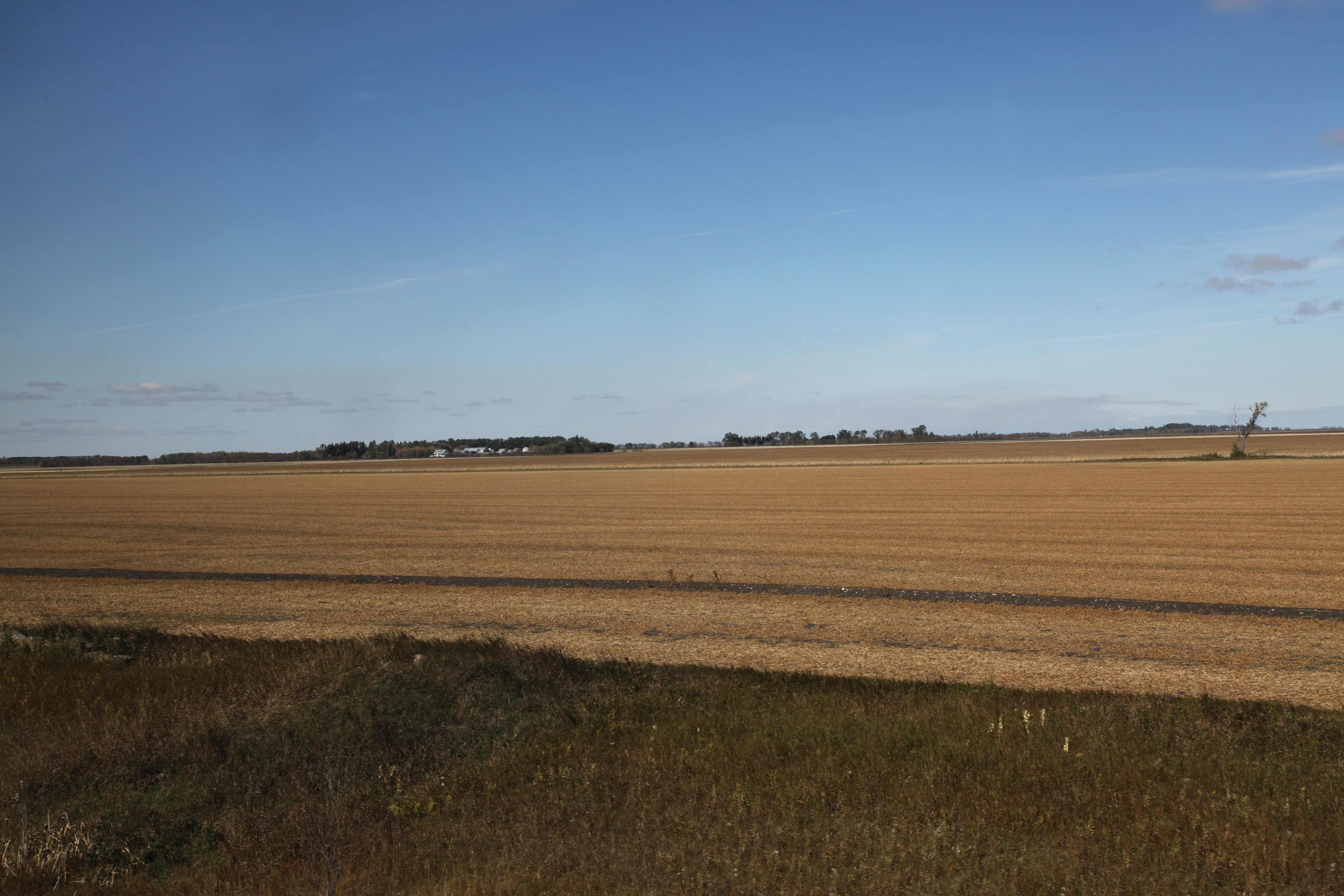
Wheat field in central Manitoba
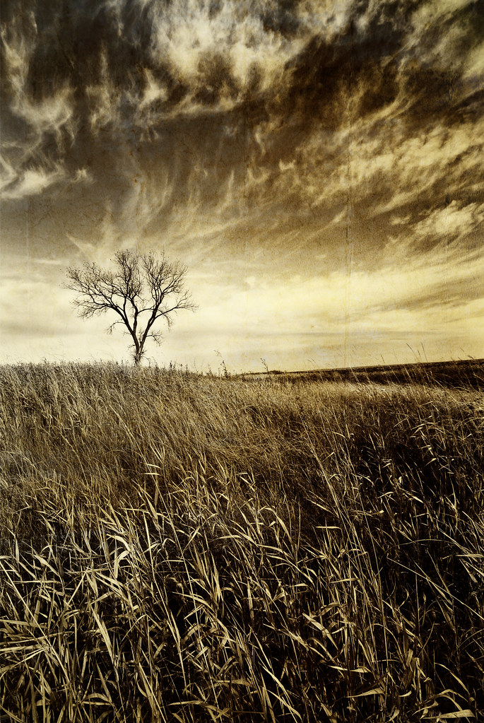
Prairie tree...
VP150047.jpg
IMG_6350-1
IMG_6362-1
IMG_5994-1a
IMG_5310-1

IMG_5297-1
IMG_5280-1a

DSC_1258.jpg

DSC_1257.jpg

DSC_1254.jpg

Lake Manitoba has lots of wildlife including birds that like to hang out on the shore, eat and fly around
2013-11-22 14.56.07

CP 8835
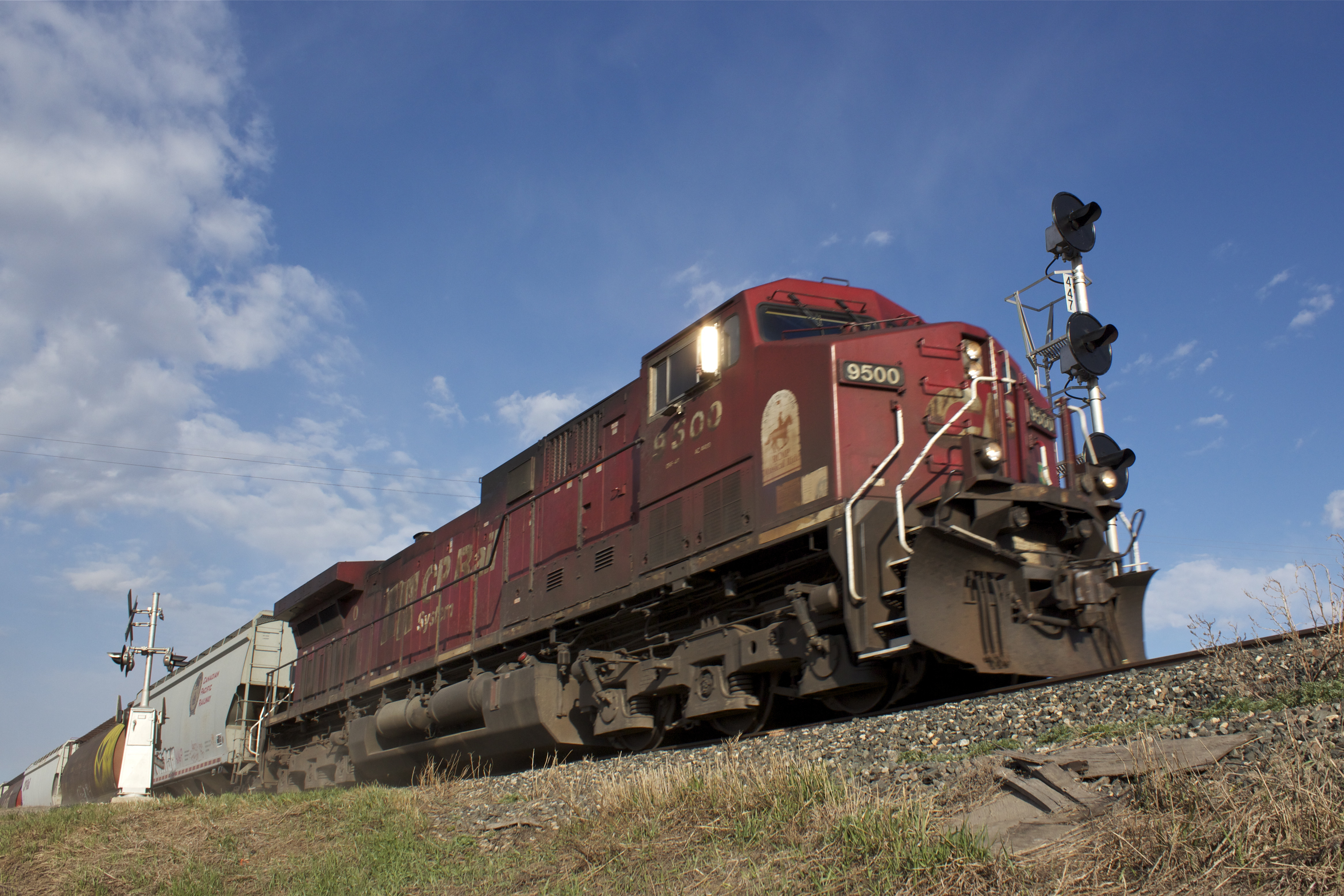
CP 9500

A country road in central Manitoba
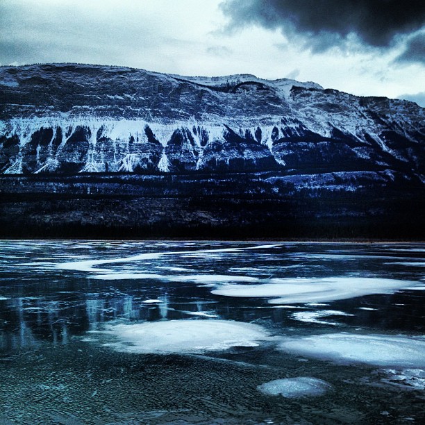
I'm a bit speechless ... This is just simply beautiful.

Northern Lights 4
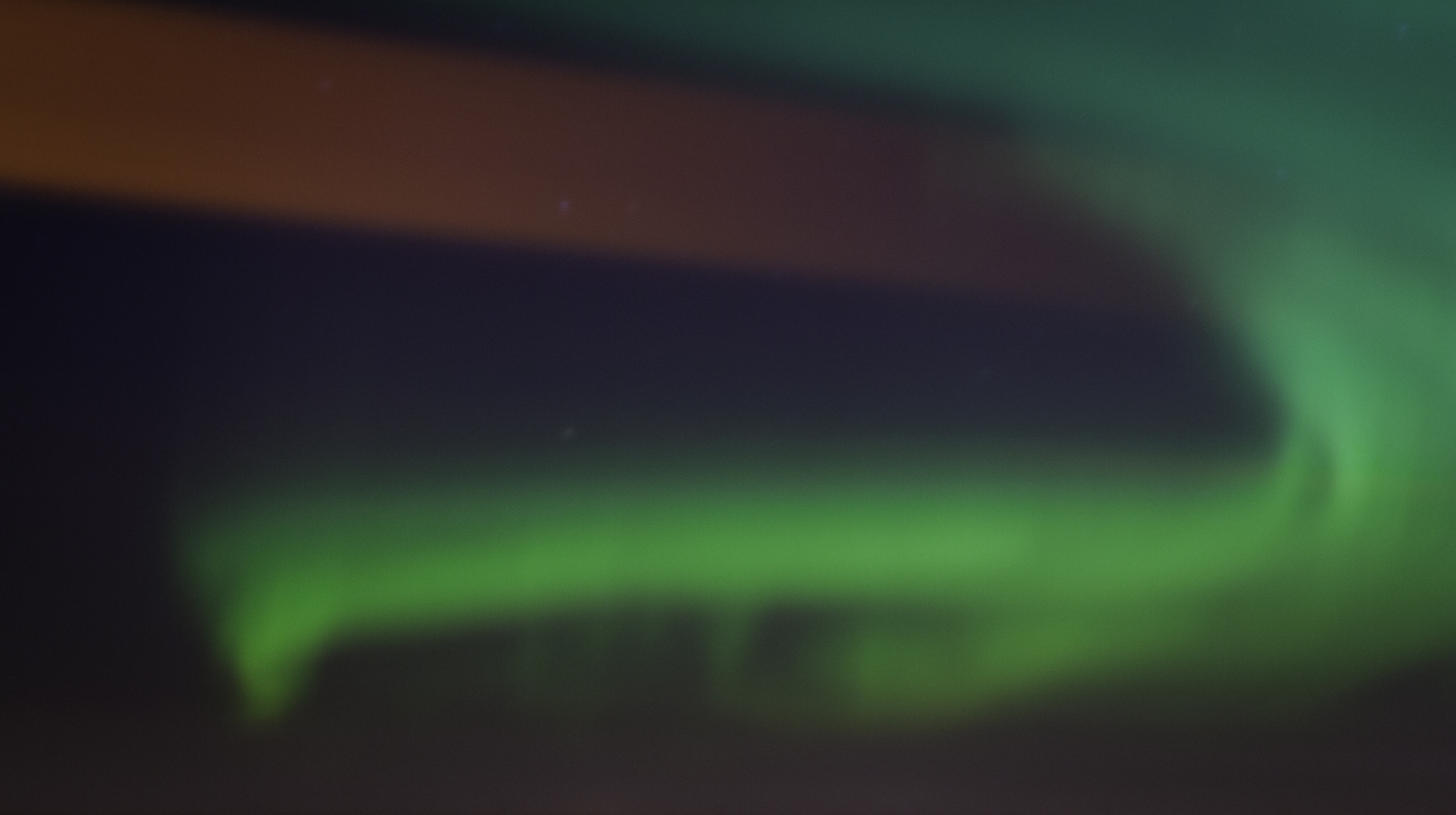
Northern Lights 3
Topographic Map of Oakville, MB R0H, Canada
Find elevation by address:

Places in Oakville, MB R0H, Canada:
Places near Oakville, MB R0H, Canada:
Trans-Canada Hwy, Oakville, MB R0H 0Y0, Canada
Poplar Point
High Bluff
Division No. 9
MB-, Southport, MB R0H 1N1, Canada
Railway St, Elm Creek, MB R0G 0N0, Canada
Elie
Elm Creek
Southport
Countess Ave, Portage la Prairie, MB R1N 0T3, Canada
Portage La Prairie
Fannystelle
202 Crescent Rd W
Cartier
Marquette
Portage La Prairie
Haywood
St. François Xavier
Pigeon Lake
Starbuck
Recent Searches:
- Elevation of Beall Road, Beall Rd, Florida, USA
- Elevation of Leguwa, Nepal
- Elevation of County Rd, Enterprise, AL, USA
- Elevation of Kolchuginsky District, Vladimir Oblast, Russia
- Elevation of Shustino, Vladimir Oblast, Russia
- Elevation of Lampiasi St, Sarasota, FL, USA
- Elevation of Elwyn Dr, Roanoke Rapids, NC, USA
- Elevation of Congressional Dr, Stevensville, MD, USA
- Elevation of Bellview Rd, McLean, VA, USA
- Elevation of Stage Island Rd, Chatham, MA, USA