Elevation of St. François Xavier, MB, Canada
Location: Canada > Manitoba > Division No. 10 >
Longitude: -97.647949
Latitude: 49.9828282
Elevation: 242m / 794feet
Barometric Pressure: 98KPa
Elevation Map:
Satellite Map:
Related Photos:

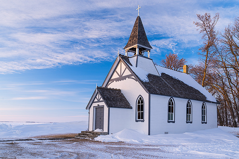
Poplar Point Church
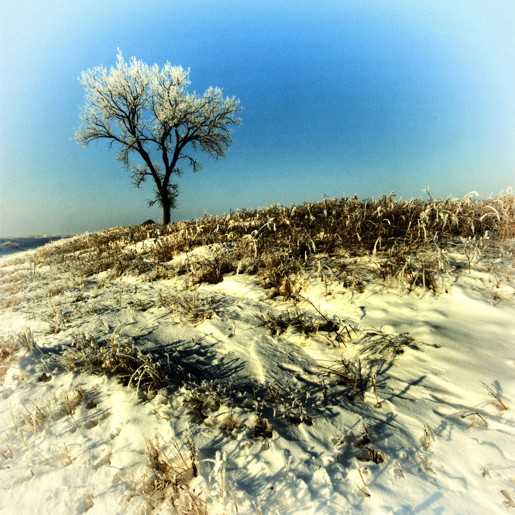
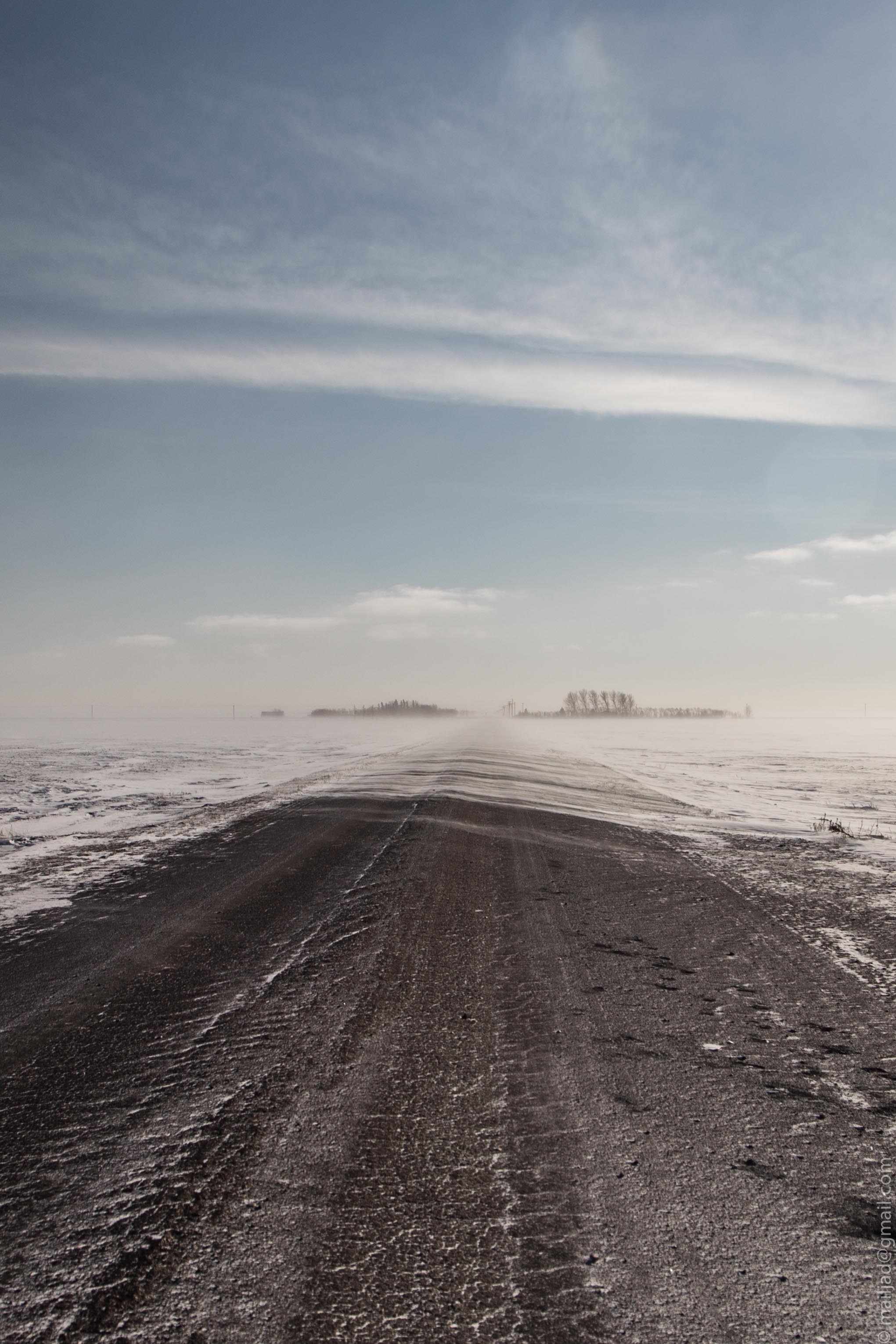
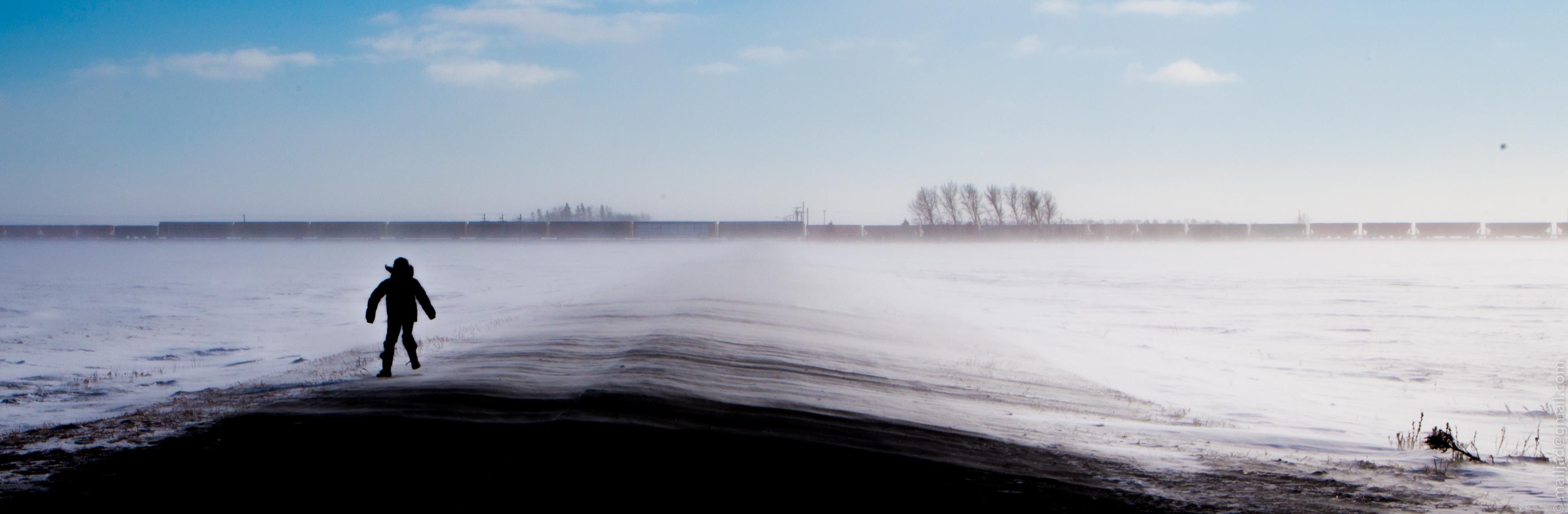
Winter Afternoon
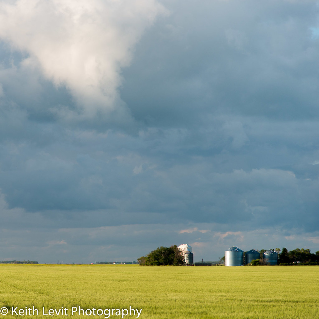
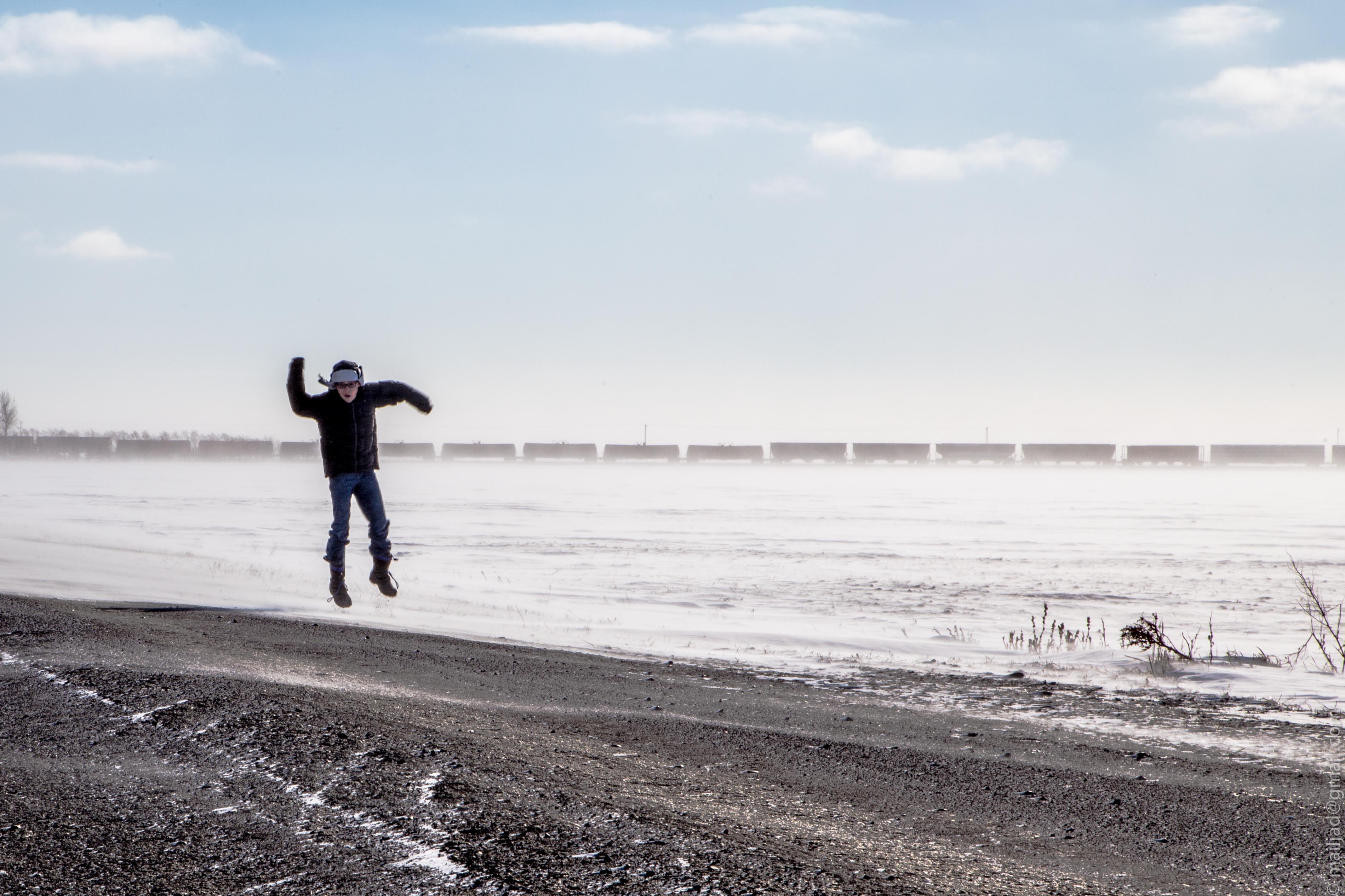
Squared away for winter
DSC_1240.jpg
DSC_1187.jpg

St. Paul's Anglican Church
DSC_1216.jpg
DSC_1218.jpg
DSC_1237.jpg

DSC_1223.jpg
DSC_1185.jpg

We are all transient here...
DSC_1221.jpg

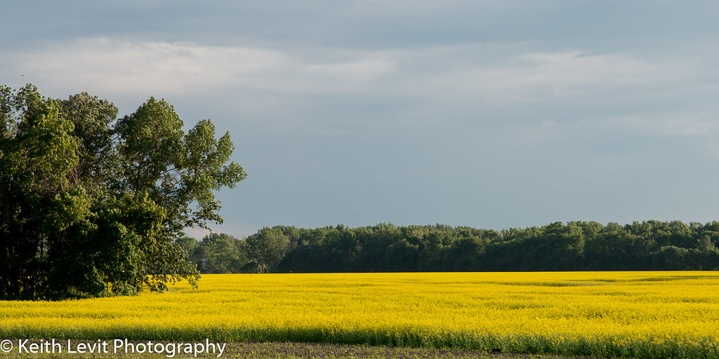
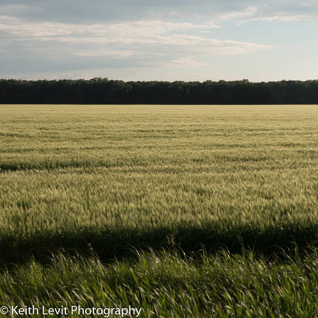
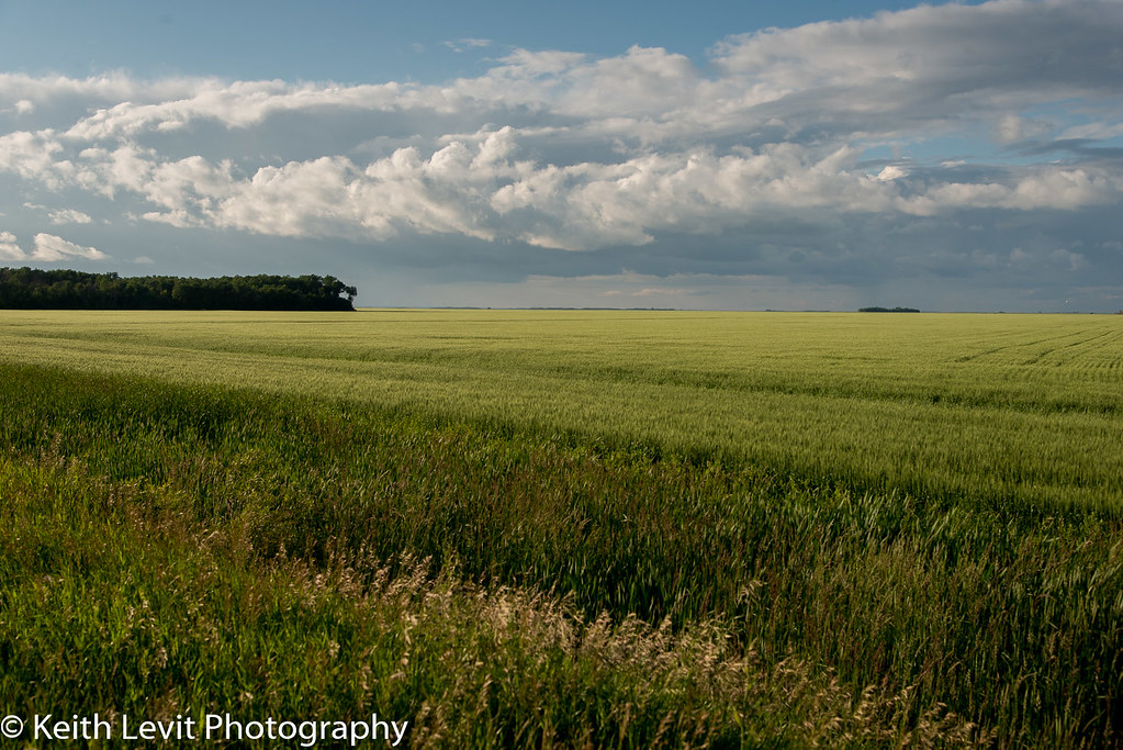
Canola field.
IMG_0965 YWG.jpg
DSC_1222.jpg
IMG_0972 YWG.jpg
IMG_0959 YWG.jpg
DSC_1214.jpg
DSC_1249.jpg

IMG_0955 YWG.jpg
Topographic Map of St. François Xavier, MB, Canada
Find elevation by address:

Places in St. François Xavier, MB, Canada:
Places near St. François Xavier, MB, Canada:
Pigeon Lake
Cartier
Marquette
Saint François Xavier
Elie
Starbuck
64 Prairie Dog Trail, Grosse Isle, MB R0C 1G0, Canada
Headingley
Fannystelle
Trans-Canada Hwy, Oakville, MB R0H 0Y0, Canada
Division No. 14
Macdonald
Division No. 10
Poplar Point
240 Lumsden Ave
362 Gagnon St
30 Stack St
Westdale
Stonewall
13 Lumsden Ave
Recent Searches:
- Elevation of Woodland Oak Pl, Thousand Oaks, CA, USA
- Elevation of Brownsdale Rd, Renfrew, PA, USA
- Elevation of Corcoran Ln, Suffolk, VA, USA
- Elevation of Mamala II, Sariaya, Quezon, Philippines
- Elevation of Sarangdanda, Nepal
- Elevation of 7 Waterfall Way, Tomball, TX, USA
- Elevation of SW 57th Ave, Portland, OR, USA
- Elevation of Crocker Dr, Vacaville, CA, USA
- Elevation of Pu Ngaol Community Meeting Hall, HWHM+3X7, Krong Saen Monourom, Cambodia
- Elevation of Royal Ontario Museum, Queens Park, Toronto, ON M5S 2C6, Canada