Elevation of Portage la Prairie, MB, Canada
Location: Canada > Manitoba > Division No. 9 >
Longitude: -98.253172
Latitude: 50.1376358
Elevation: 248m / 814feet
Barometric Pressure: 98KPa
Elevation Map:
Satellite Map:
Related Photos:
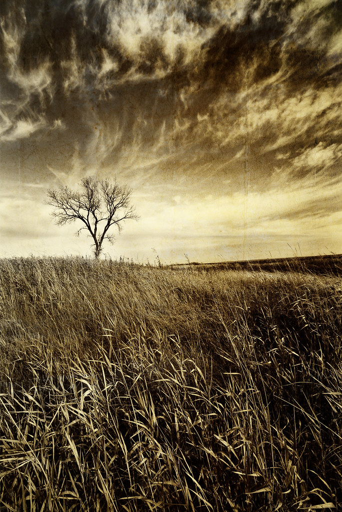
Prairie tree...
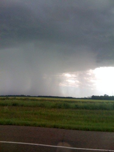
Crazy Sky
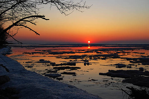
Sunset, Lake Manitoba

Blackburnian Warbler
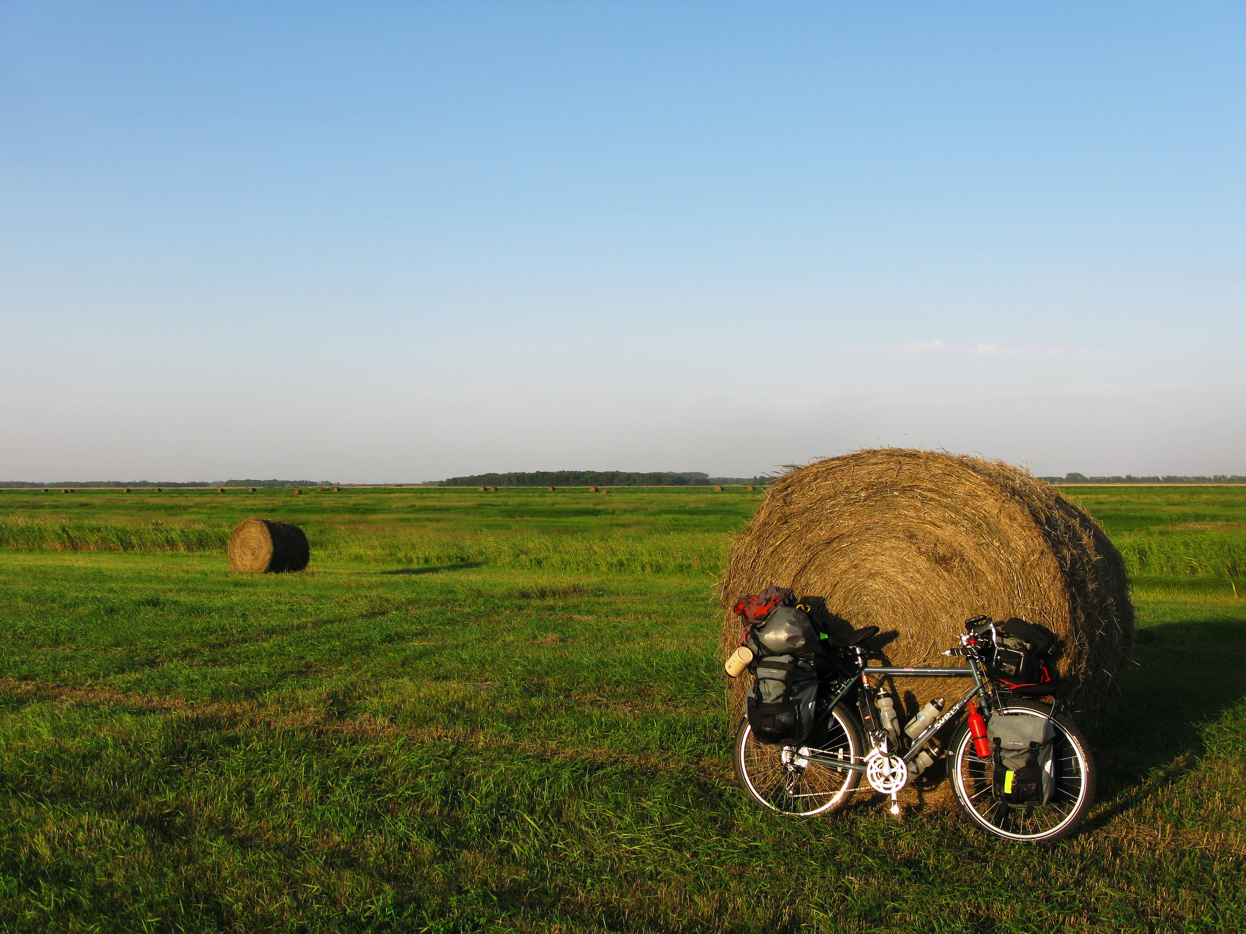
Garmin sent me astray..
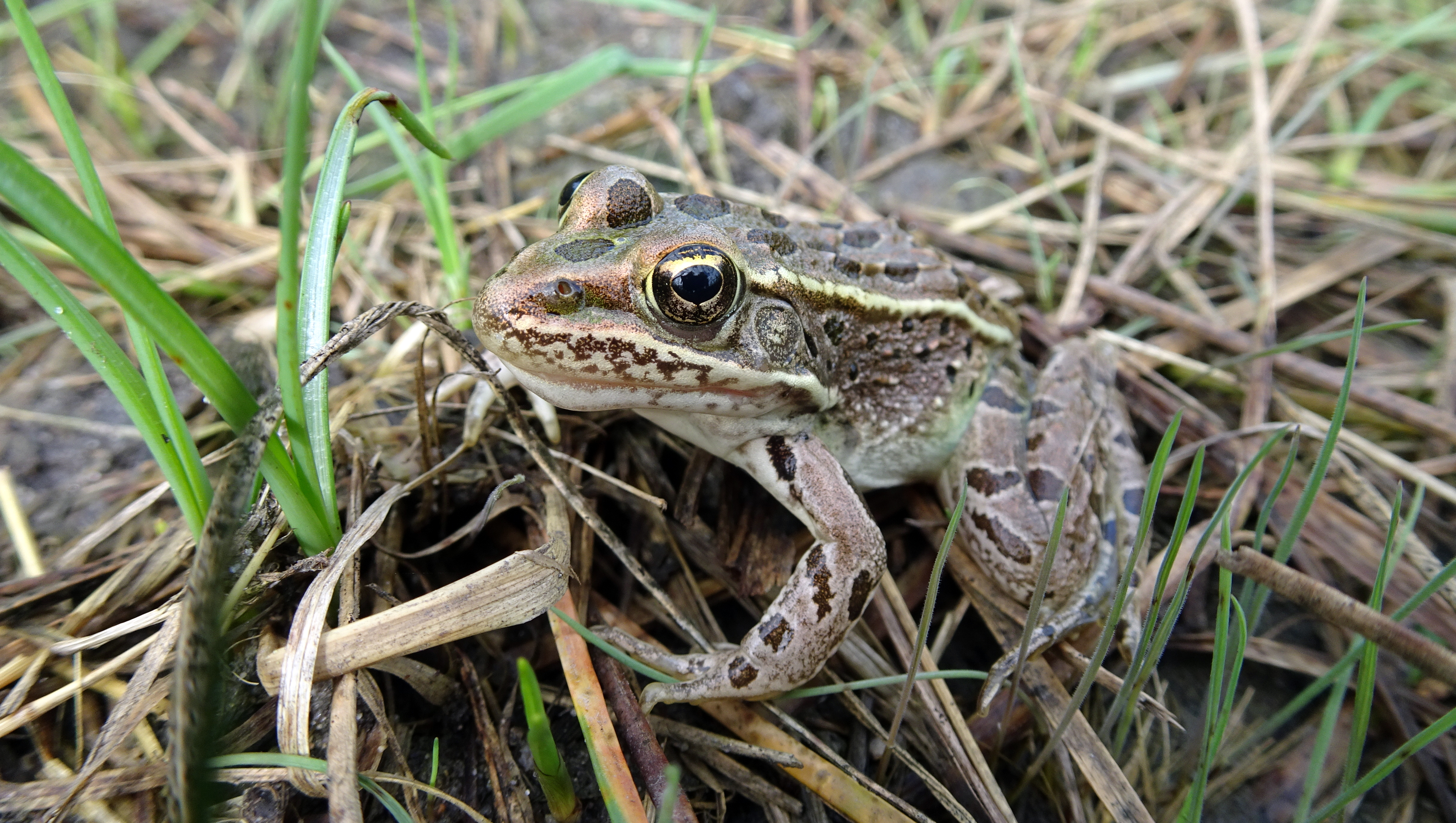
Wood Frog
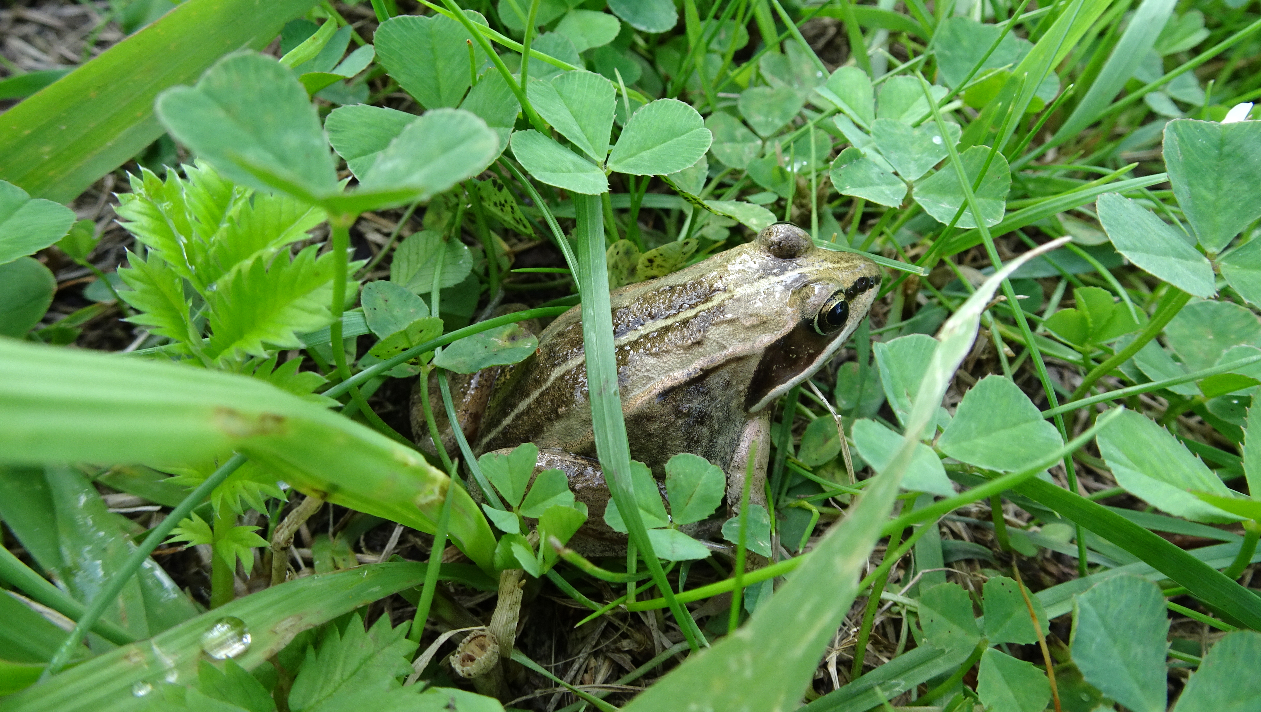
Northern Leopard Frog
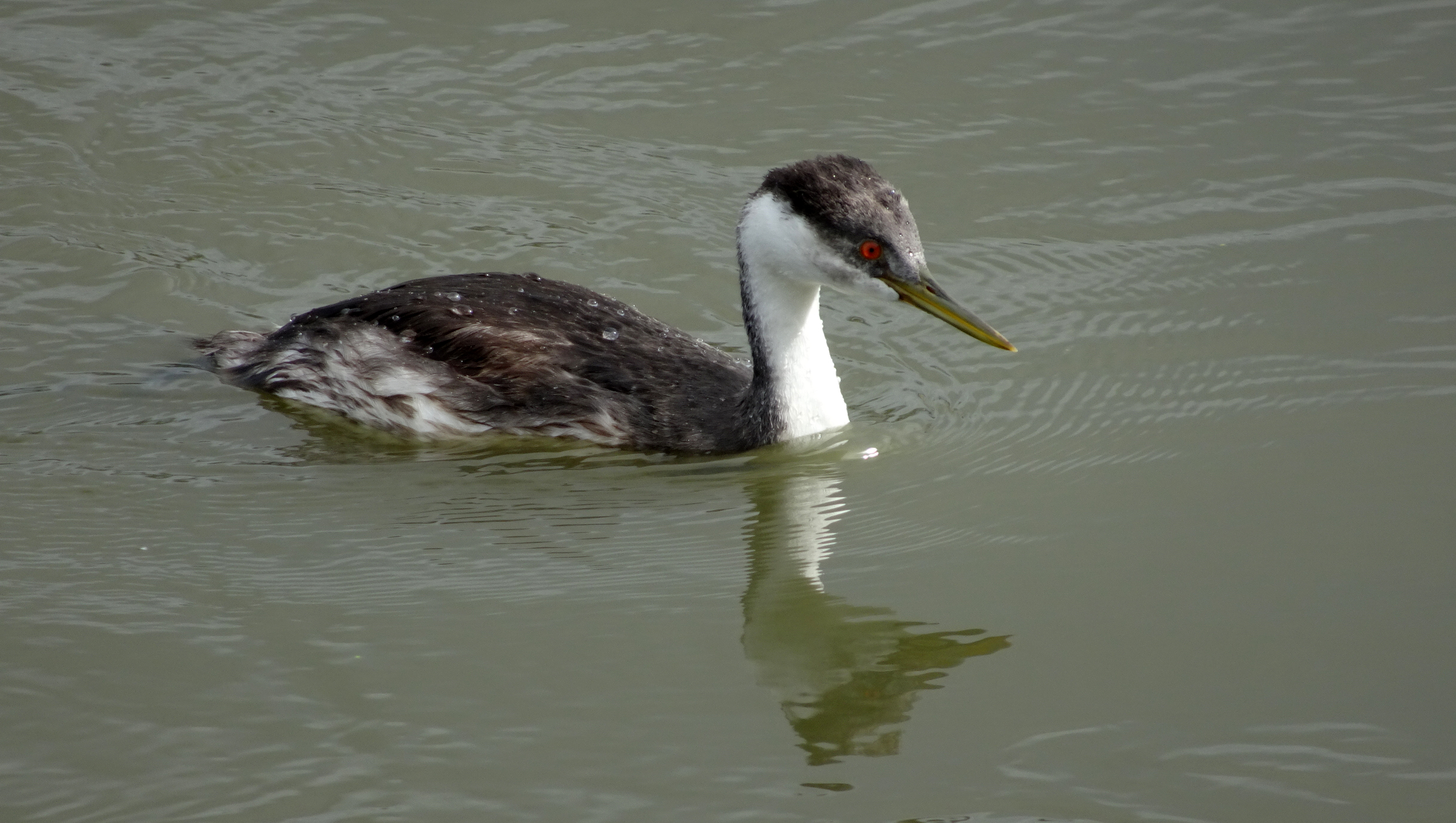
Western Grebe
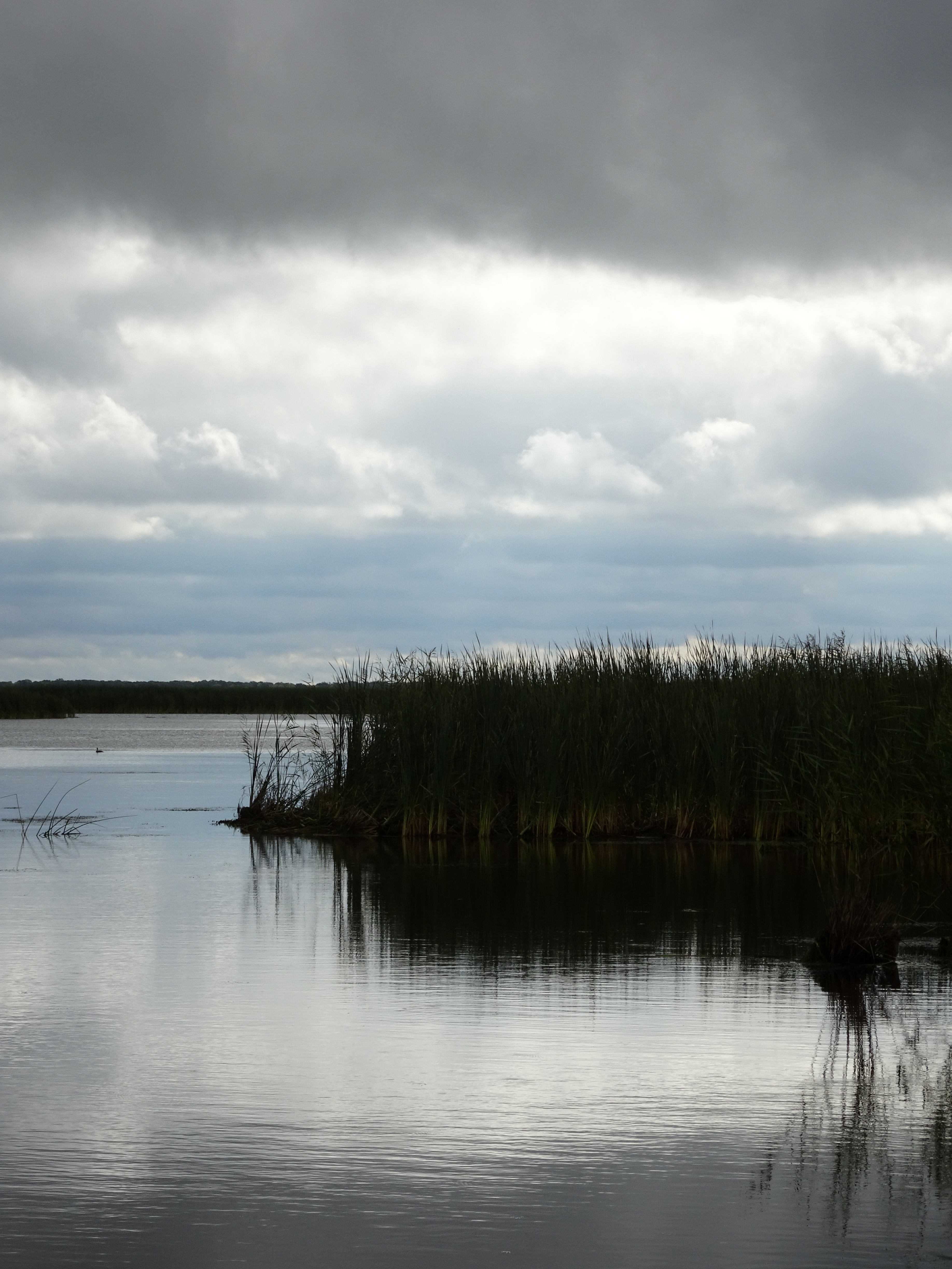
Delta Marsh

Saint Mark's Anglican 1892
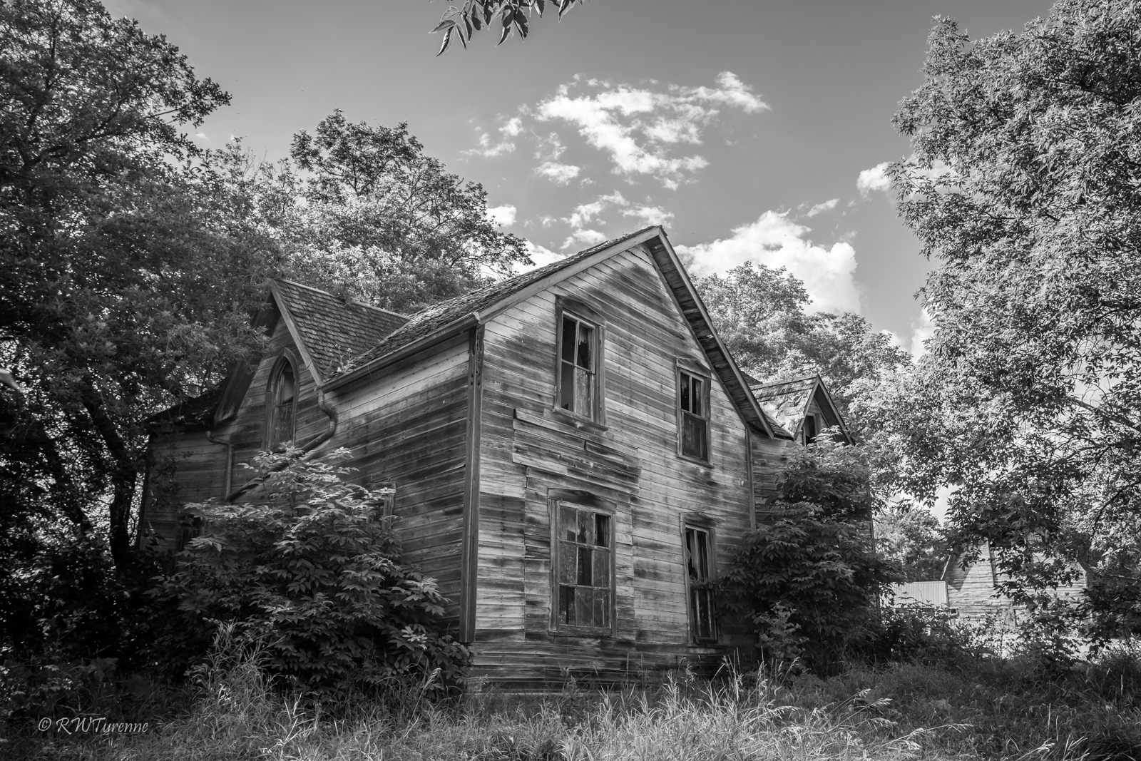
Delta House

Visitor Meanwhile
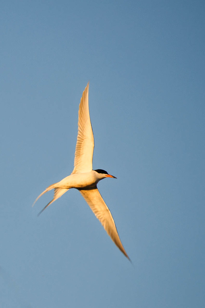
Common Tern
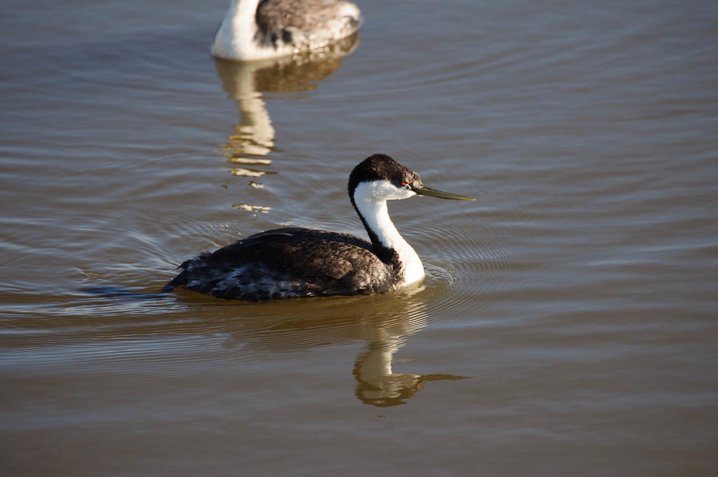
Western Grebe
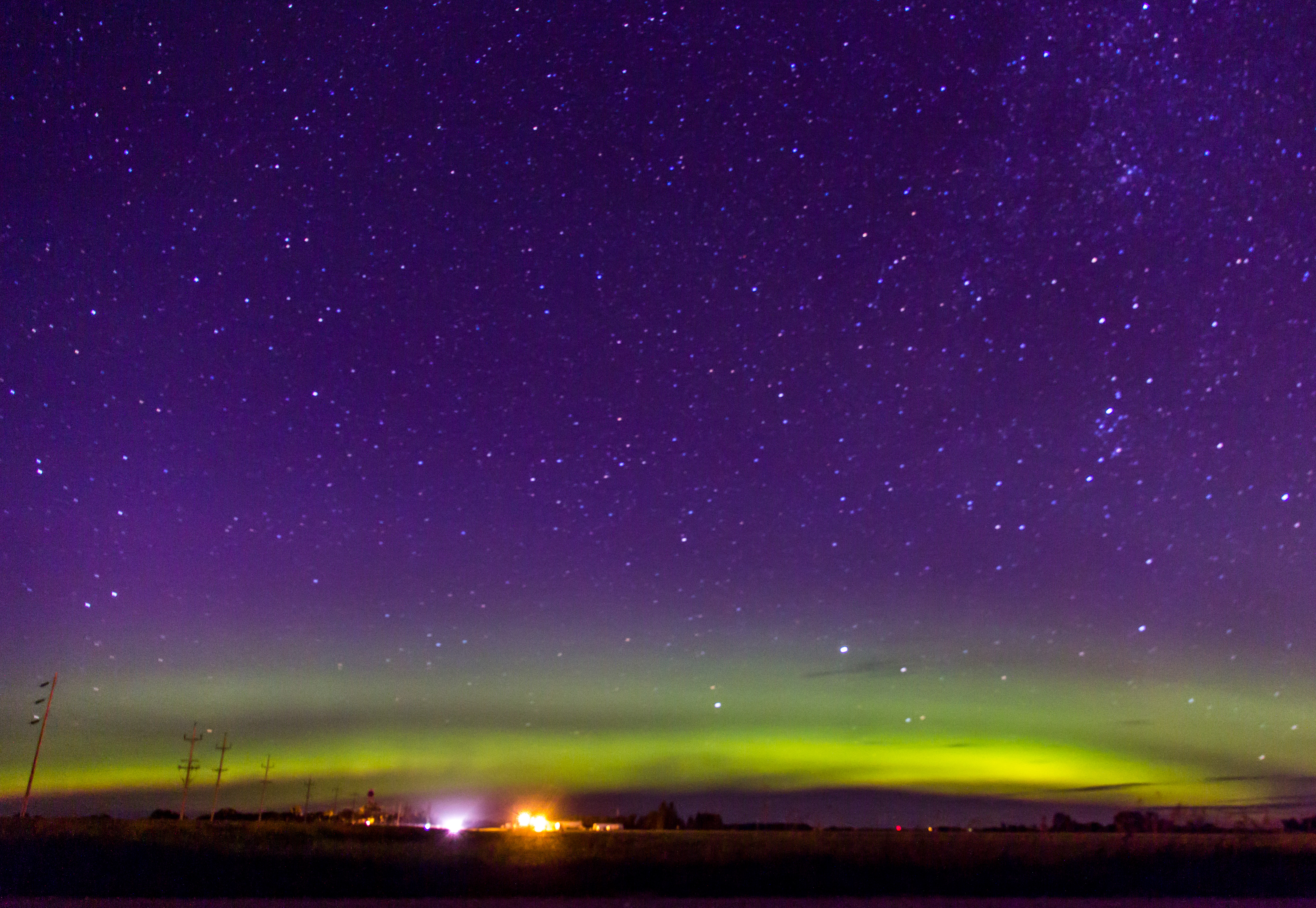
Northern Lights
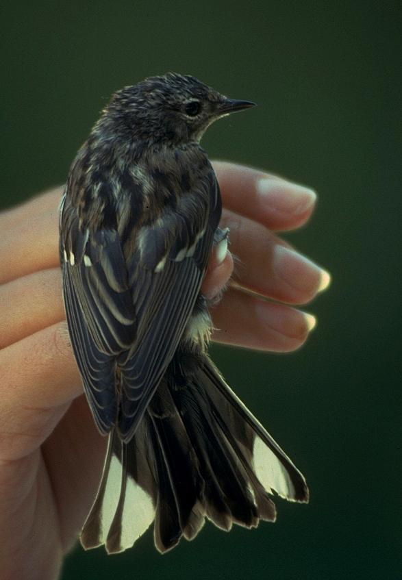
Archives: Yellow-rumped (Myrtle) Warbler
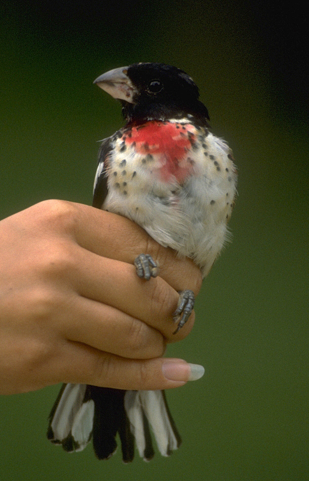
Archives: Rose-breasted Grosbeak
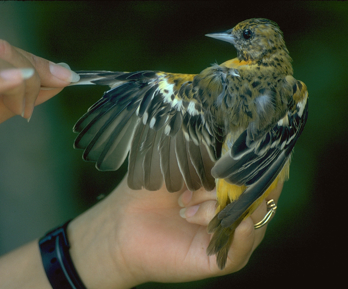
Archives: Baltimore Oriole
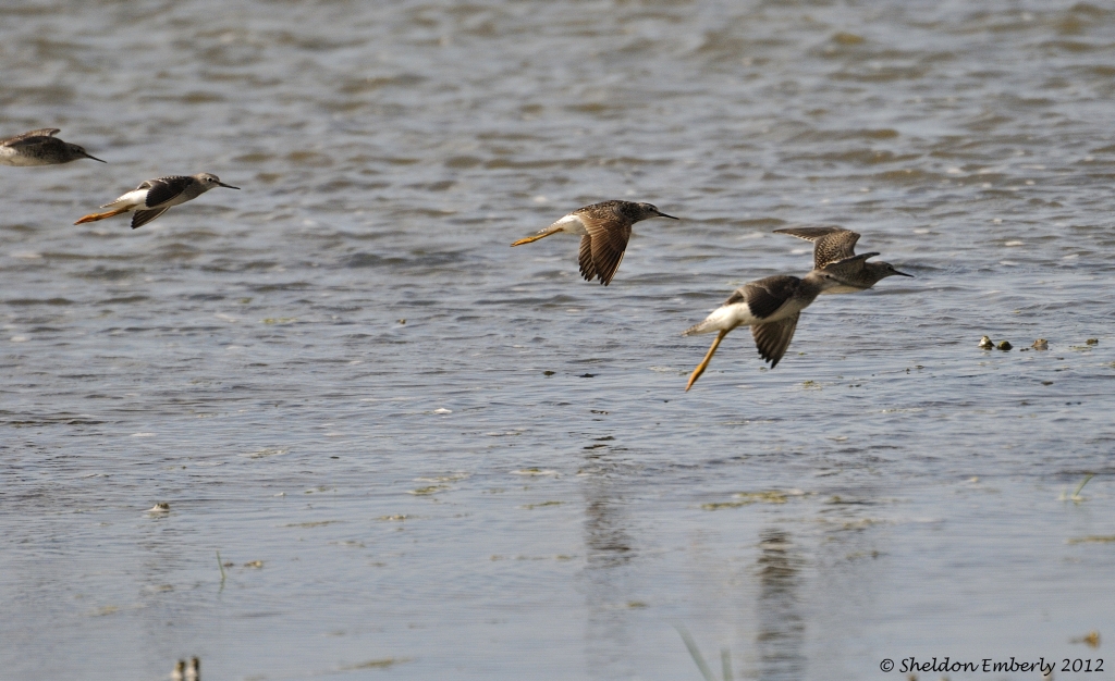
Shorebirds in Flight
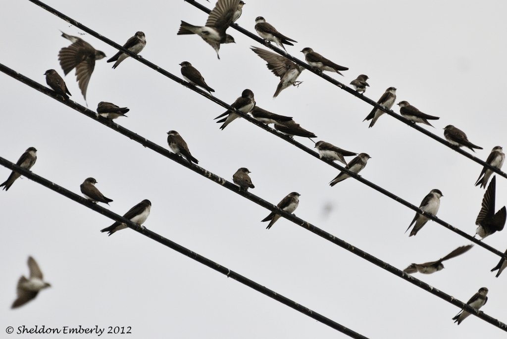
Party Lines
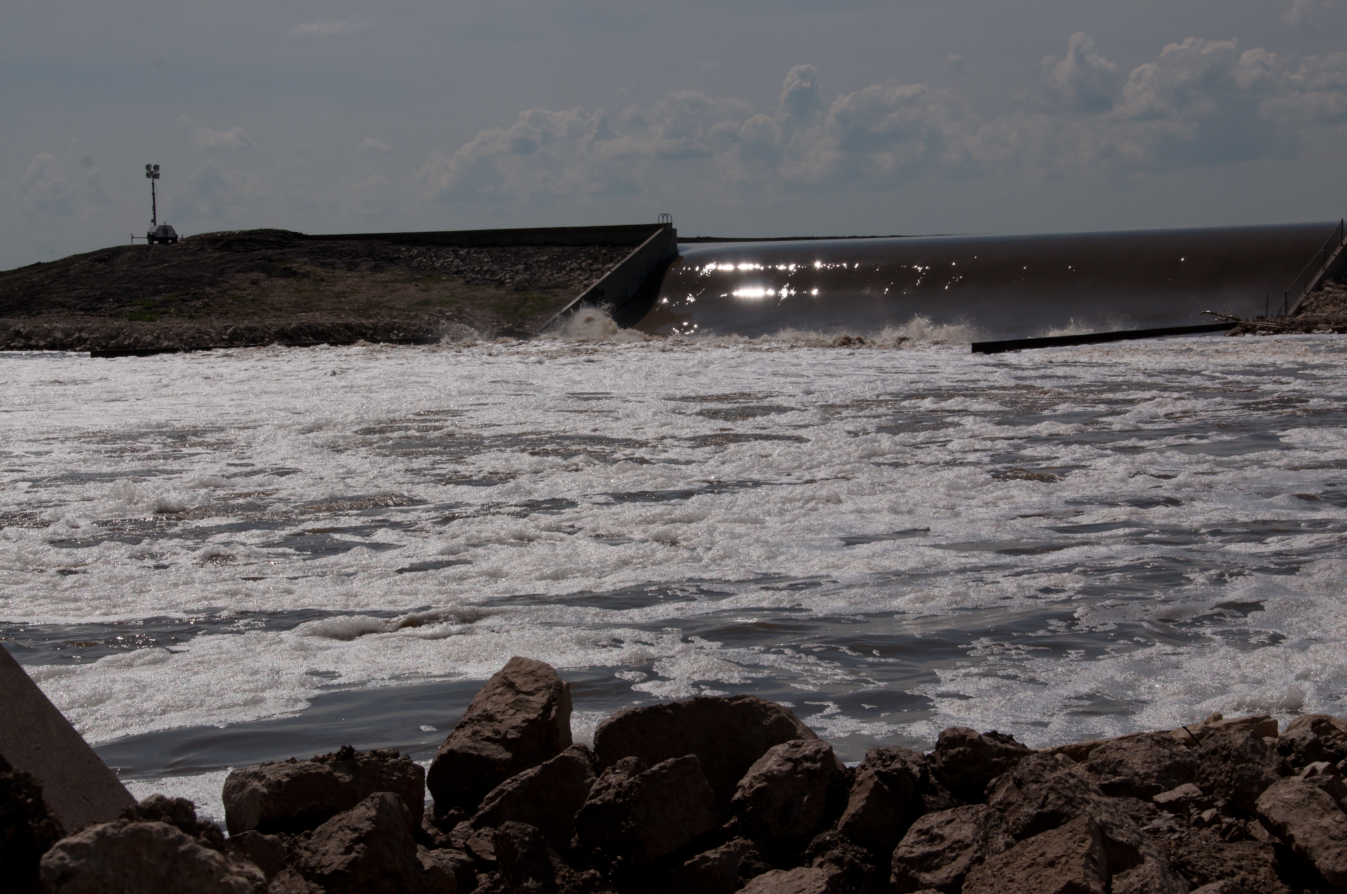
Flooding along the Portage Diversion
Topographic Map of Portage la Prairie, MB, Canada
Find elevation by address:

Places in Portage la Prairie, MB, Canada:
Places near Portage la Prairie, MB, Canada:
High Bluff
Division No. 9
Portage La Prairie
Countess Ave, Portage la Prairie, MB R1N 0T3, Canada
202 Crescent Rd W
MB-, Southport, MB R0H 1N1, Canada
Southport
Poplar Point
Oakville
Trans-Canada Hwy, Oakville, MB R0H 0Y0, Canada
15 Louis Riel Dr, Oak Point, MB R0C 2J0, Canada
Saint Laurent
St. Laurent
Oak Point Vet Memorial Rd, Oak Point, MB R0C 2J0, Canada
Oak Point
Haywood
Saint Claude
Marquette
Elm Creek
Railway St, Elm Creek, MB R0G 0N0, Canada
Recent Searches:
- Elevation of Corso Fratelli Cairoli, 35, Macerata MC, Italy
- Elevation of Tallevast Rd, Sarasota, FL, USA
- Elevation of 4th St E, Sonoma, CA, USA
- Elevation of Black Hollow Rd, Pennsdale, PA, USA
- Elevation of Oakland Ave, Williamsport, PA, USA
- Elevation of Pedrógão Grande, Portugal
- Elevation of Klee Dr, Martinsburg, WV, USA
- Elevation of Via Roma, Pieranica CR, Italy
- Elevation of Tavkvetili Mountain, Georgia
- Elevation of Hartfords Bluff Cir, Mt Pleasant, SC, USA