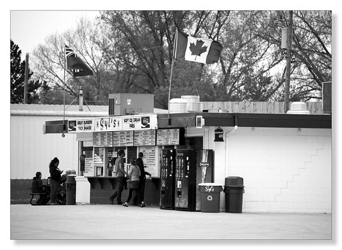
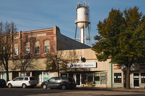
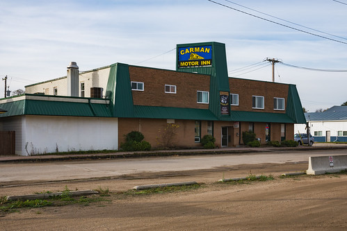
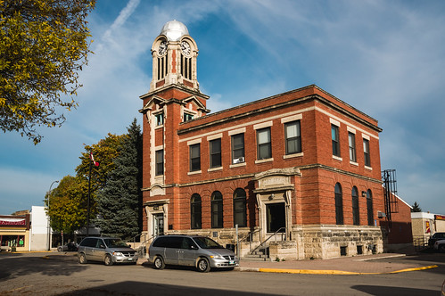
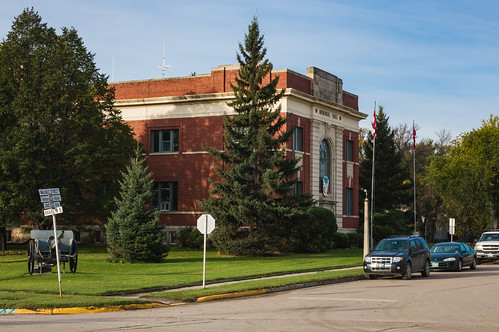
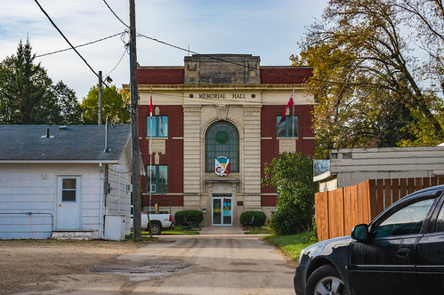
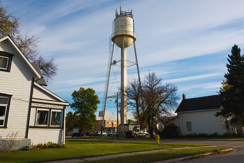
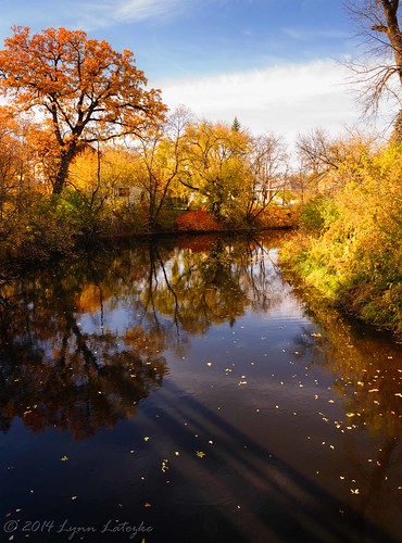
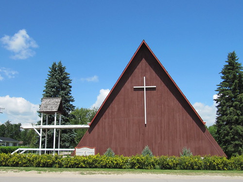
Elevation of 60 1st Ave, Graysville, MB R0G 0T0, Canada
Location: Canada > Manitoba > Division No. 3 > Dufferin > Graysville >
Longitude: -98.156371
Latitude: 49.5095147
Elevation: 283m / 928feet
Barometric Pressure: 98KPa
Related Photos:
Topographic Map of 60 1st Ave, Graysville, MB R0G 0T0, Canada
Find elevation by address:

Places near 60 1st Ave, Graysville, MB R0G 0T0, Canada:
Graysville
Dufferin
Stephenfield
Carman
Haywood
Miami
Elm Creek
Saint Claude
Railway St, Elm Creek, MB R0G 0N0, Canada
Southport
MB-, Southport, MB R0H 1N1, Canada
Fannystelle
Oakville
Division No. 9
Countess Ave, Portage la Prairie, MB R1N 0T3, Canada
202 Crescent Rd W
Portage La Prairie
Trans-Canada Hwy, Oakville, MB R0H 0Y0, Canada
High Bluff
Division No. 3
Recent Searches:
- Elevation of 15th Ave SE, St. Petersburg, FL, USA
- Elevation of Beall Road, Beall Rd, Florida, USA
- Elevation of Leguwa, Nepal
- Elevation of County Rd, Enterprise, AL, USA
- Elevation of Kolchuginsky District, Vladimir Oblast, Russia
- Elevation of Shustino, Vladimir Oblast, Russia
- Elevation of Lampiasi St, Sarasota, FL, USA
- Elevation of Elwyn Dr, Roanoke Rapids, NC, USA
- Elevation of Congressional Dr, Stevensville, MD, USA
- Elevation of Bellview Rd, McLean, VA, USA
