Elevation of Pleasant Grove Rd, Bennington, IN, USA
Location: United States > Indiana > Switzerland County > Pleasant Township > Bennington >
Longitude: -85.172644
Latitude: 38.886515
Elevation: 284m / 932feet
Barometric Pressure: 98KPa
Elevation Map:
Satellite Map:
Related Photos:

Welcome to Friendship... Bar & Grill
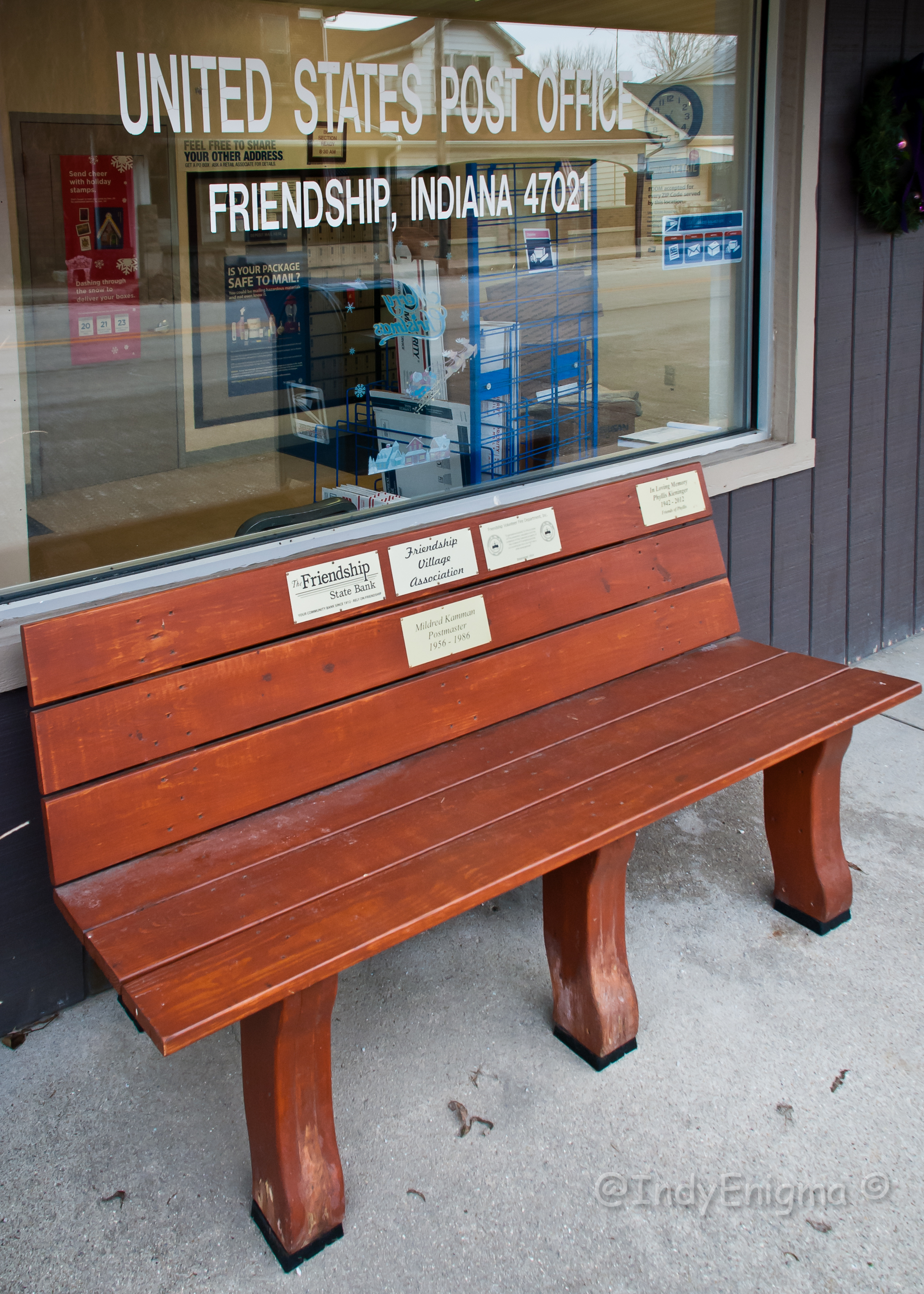
Friendship 47021... HBM

The view from our tent

St. Paul Lutheran Church luminaries, trey...

Lost Bridge Orton (ish) Effect

All around the campground

The Camp

People in camp

Current status: #fb
2012 August--Krumms' Farm (17)

2012 August--Krumms' Farm (18)
2012 August--Krumms' Farm (16)
2012 August--Krumms' Farm (47)
2012 August--Krumms' Farm (48)
Topographic Map of Pleasant Grove Rd, Bennington, IN, USA
Find elevation by address:

Places near Pleasant Grove Rd, Bennington, IN, USA:
IN-, Bennington, IN, USA
Pleasant Township
Bennington
Brown Township
North Dow Ridge Road
Caesar Creek Township
IN-, Versailles, IN, USA
Bells Branch Rd, Dillsboro, IN, USA
Switzerland County
Shelby Township
S Benham Rd, Versailles, IN, USA
Canaan
E Canaan Main Cross St, Madison, IN, USA
Milton Township
13173 Shiloh Rd
Bakes Rd, Vevay, IN, USA
11836 Aberdeen Rd
IN-, Vevay, IN, USA
Jefferson Township
N Martin Rd, Madison, IN, USA
Recent Searches:
- Elevation of Rēzekne Municipality, Latvia
- Elevation of Plikpūrmaļi, Vērēmi Parish, Rēzekne Municipality, LV-, Latvia
- Elevation of 2 Henschke Ct, Caboolture QLD, Australia
- Elevation of Redondo Ave, Long Beach, CA, USA
- Elevation of Sadovaya Ulitsa, 20, Rezh, Sverdlovskaya oblast', Russia
- Elevation of Ulitsa Kalinina, 79, Rezh, Sverdlovskaya oblast', Russia
- Elevation of 72-31 Metropolitan Ave, Middle Village, NY, USA
- Elevation of 76 Metropolitan Ave, Brooklyn, NY, USA
- Elevation of Alisal Rd, Solvang, CA, USA
- Elevation of Vista Blvd, Sparks, NV, USA