Elevation of North Dow Ridge Road, N Dow Ridge Rd, Madison, IN, USA
Location: United States > Indiana > Jefferson County > Milton Township >
Longitude: -85.216463
Latitude: 38.8192504
Elevation: 268m / 879feet
Barometric Pressure: 98KPa
Elevation Map:
Satellite Map:
Related Photos:

Courthouse grounds guardian... HFF!

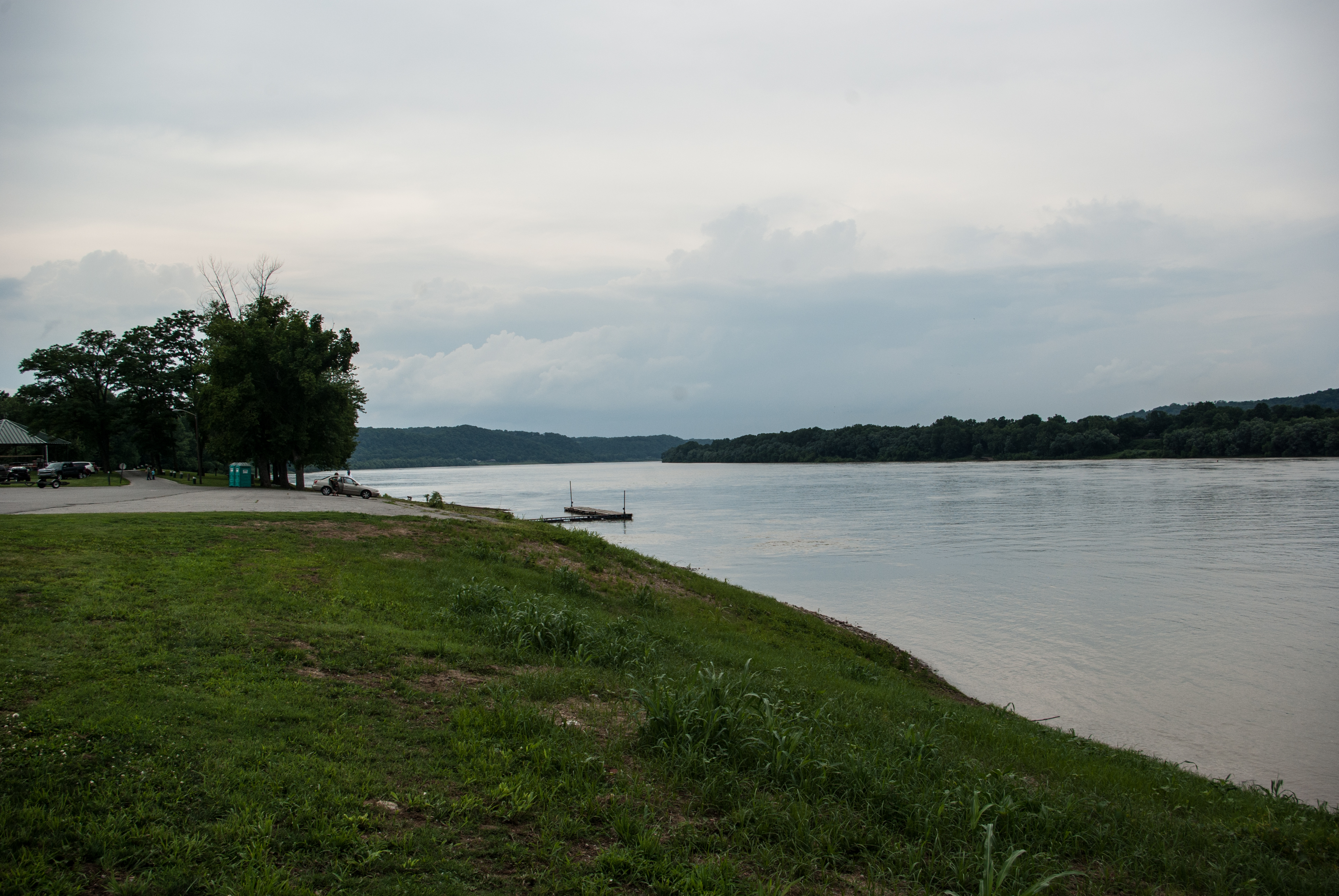
After the storm

Courthouse Flag
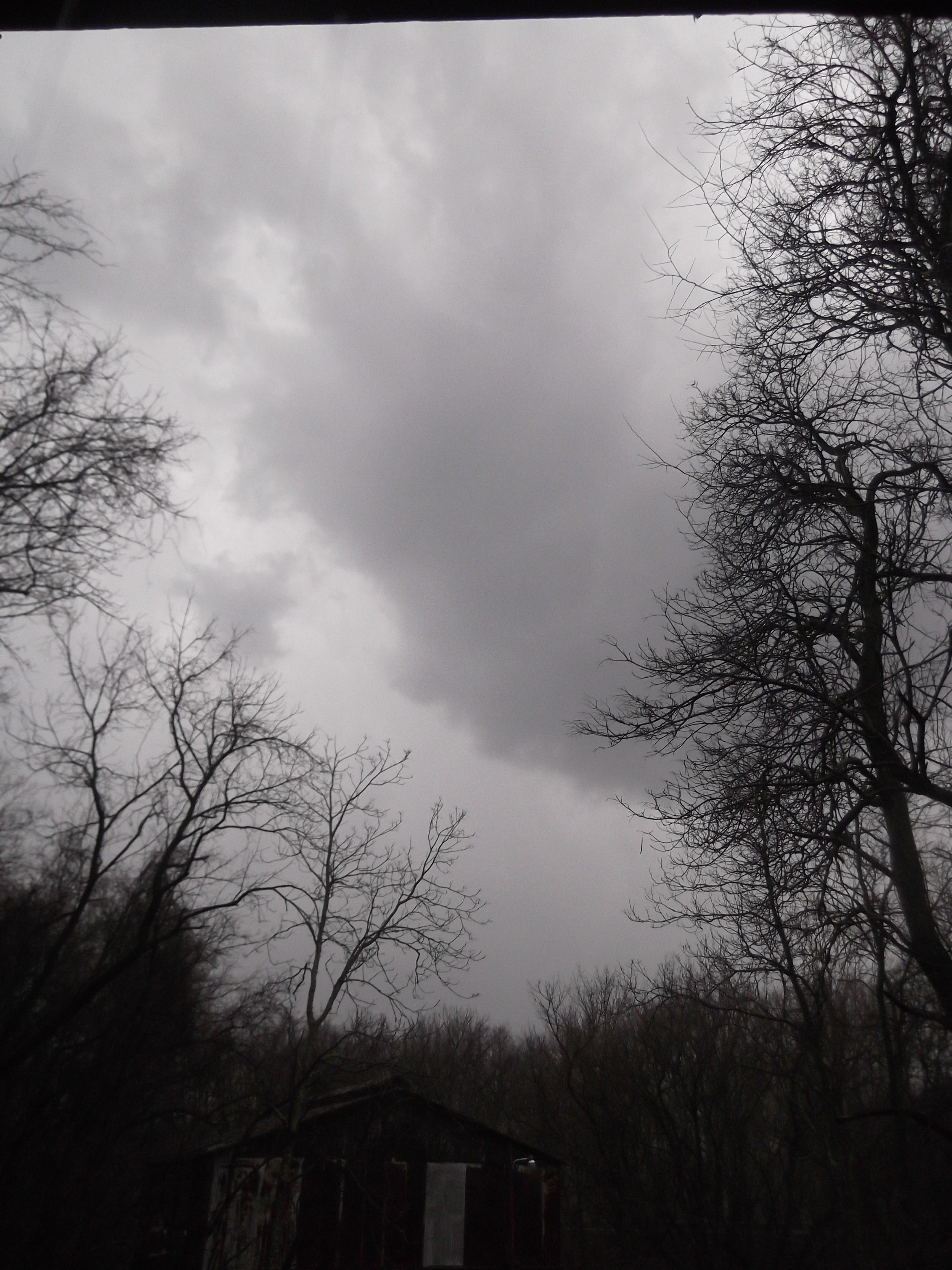
After the storm

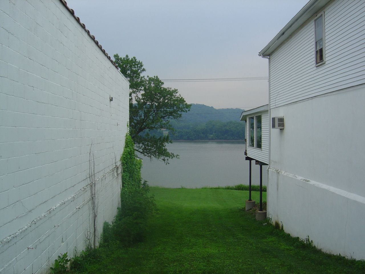
A View from out under our house

Madison, Indiana
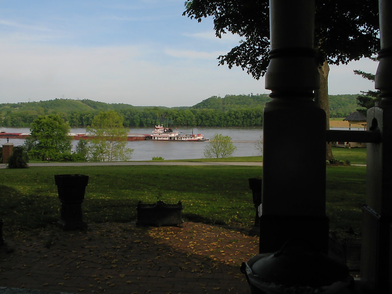
Rosemont Inn · Porch View
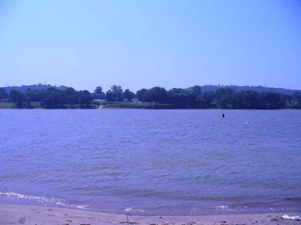
The Ohio River from Downtown Carrolton, Kentucky
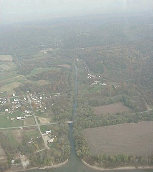
Aerial view of Brooksburg, Indiana
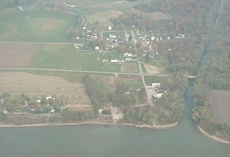
Aerial view of Brooksburg, Indiana
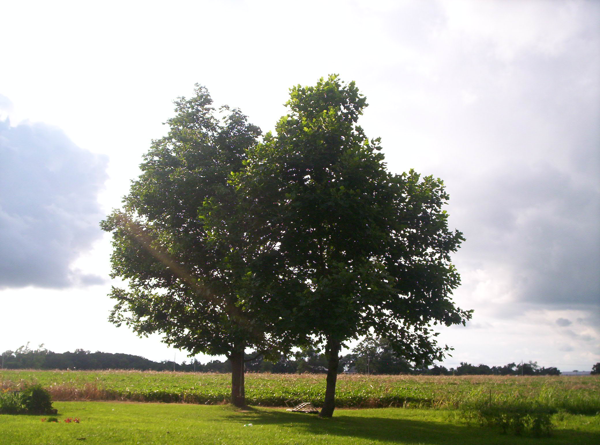
Out On The Farm
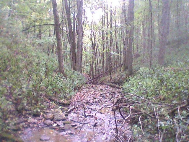
Up The Creek 2

Up The Creek

Ohio River sunset
Lori's Wedding - 01

Current status: #fb

Sunshine, Sunshine
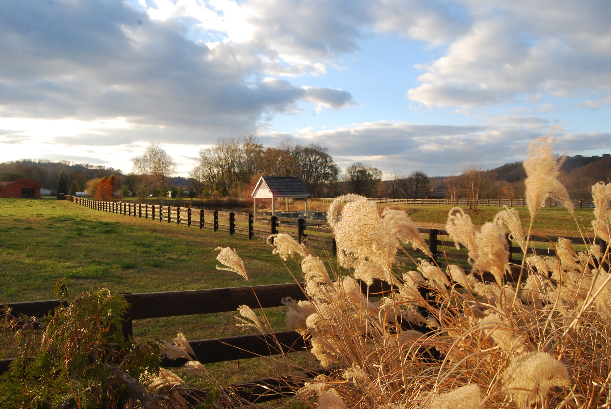
Carrollton Point Park
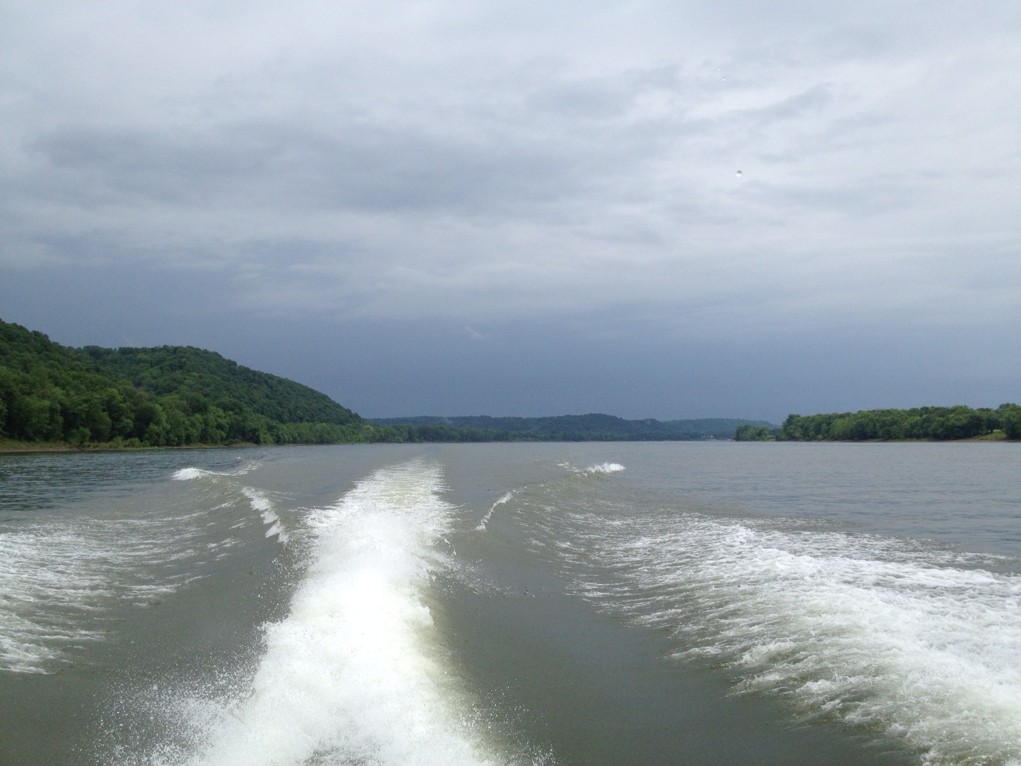
Photo 9

Nugent Sand Co. 03 HDR

Down the river

Highway 421
Ohio river
Topographic Map of North Dow Ridge Road, N Dow Ridge Rd, Madison, IN, USA
Find elevation by address:

Places near North Dow Ridge Road, N Dow Ridge Rd, Madison, IN, USA:
Milton Township
N Martin Rd, Madison, IN, USA
Brooksburg
E Brooksburg Old Sr 56, Madison, IN, USA
IN-, Vevay, IN, USA
6212 In-62
Old Carlisle Rd, Carrollton, KY, USA
Carrollton
Brooksburg, IN, USA
Mojave Terrace, Carrollton, KY, USA
Madison Township
1173 Martin Rd
US-, Milton, KY, USA
Milton
Madison
West St, Madison, IN, USA
2429 Cragmont St
Cragmont St, Madison, IN, USA
619 W Main St
22 Willis Ln
Recent Searches:
- Elevation of Beall Road, Beall Rd, Florida, USA
- Elevation of Leguwa, Nepal
- Elevation of County Rd, Enterprise, AL, USA
- Elevation of Kolchuginsky District, Vladimir Oblast, Russia
- Elevation of Shustino, Vladimir Oblast, Russia
- Elevation of Lampiasi St, Sarasota, FL, USA
- Elevation of Elwyn Dr, Roanoke Rapids, NC, USA
- Elevation of Congressional Dr, Stevensville, MD, USA
- Elevation of Bellview Rd, McLean, VA, USA
- Elevation of Stage Island Rd, Chatham, MA, USA