Elevation of IN-, Bennington, IN, USA
Location: United States > Indiana > Switzerland County > Pleasant Township > Bennington >
Longitude: -85.183252
Latitude: 38.870668
Elevation: 290m / 951feet
Barometric Pressure: 98KPa
Elevation Map:
Satellite Map:
Related Photos:

Welcome to Friendship... Bar & Grill

St. Paul Lutheran Church luminaries, trey...
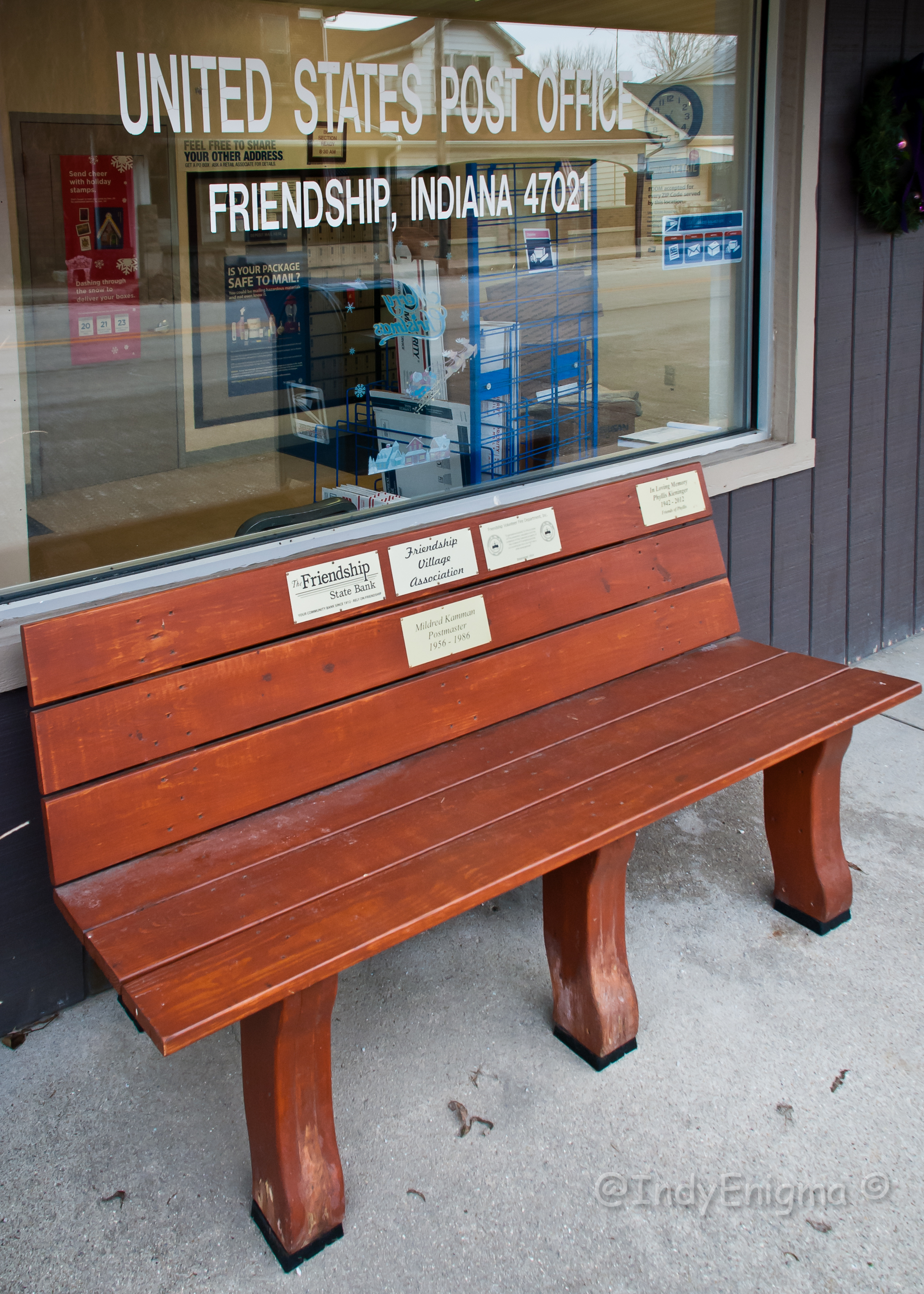
Friendship 47021... HBM

A View from out under our house

The view from our tent

Lost Bridge Orton (ish) Effect

Current status: #fb
Photo 9

All around the campground

The Camp

People in camp
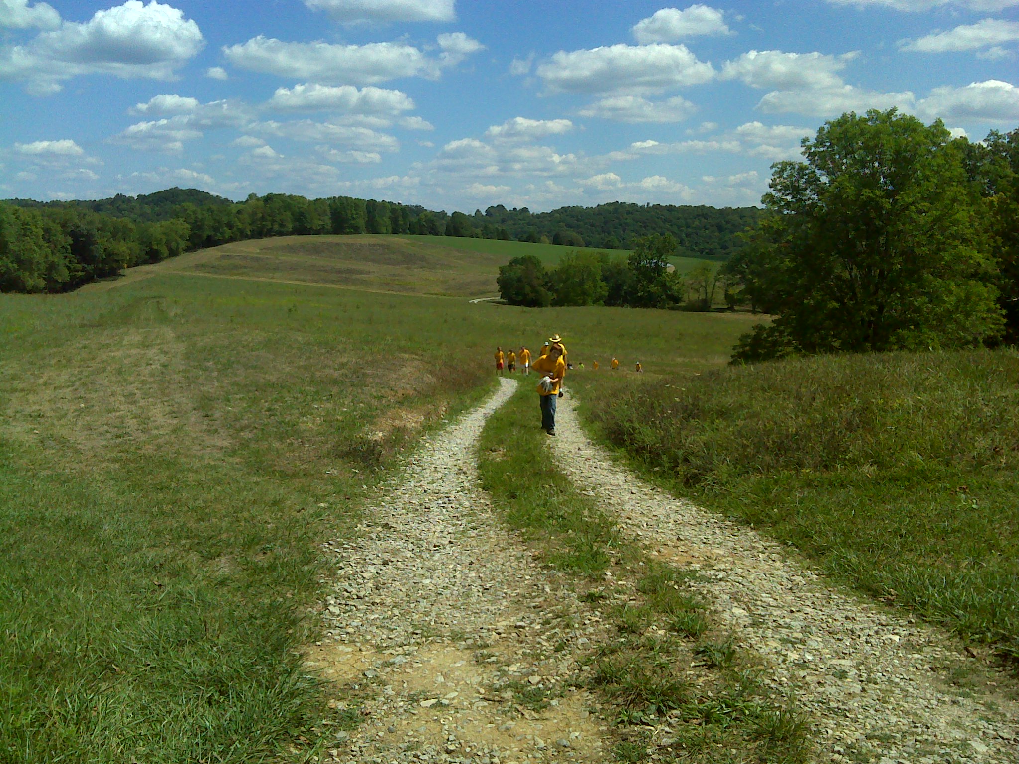
2012 August--Krumms' Farm (17)

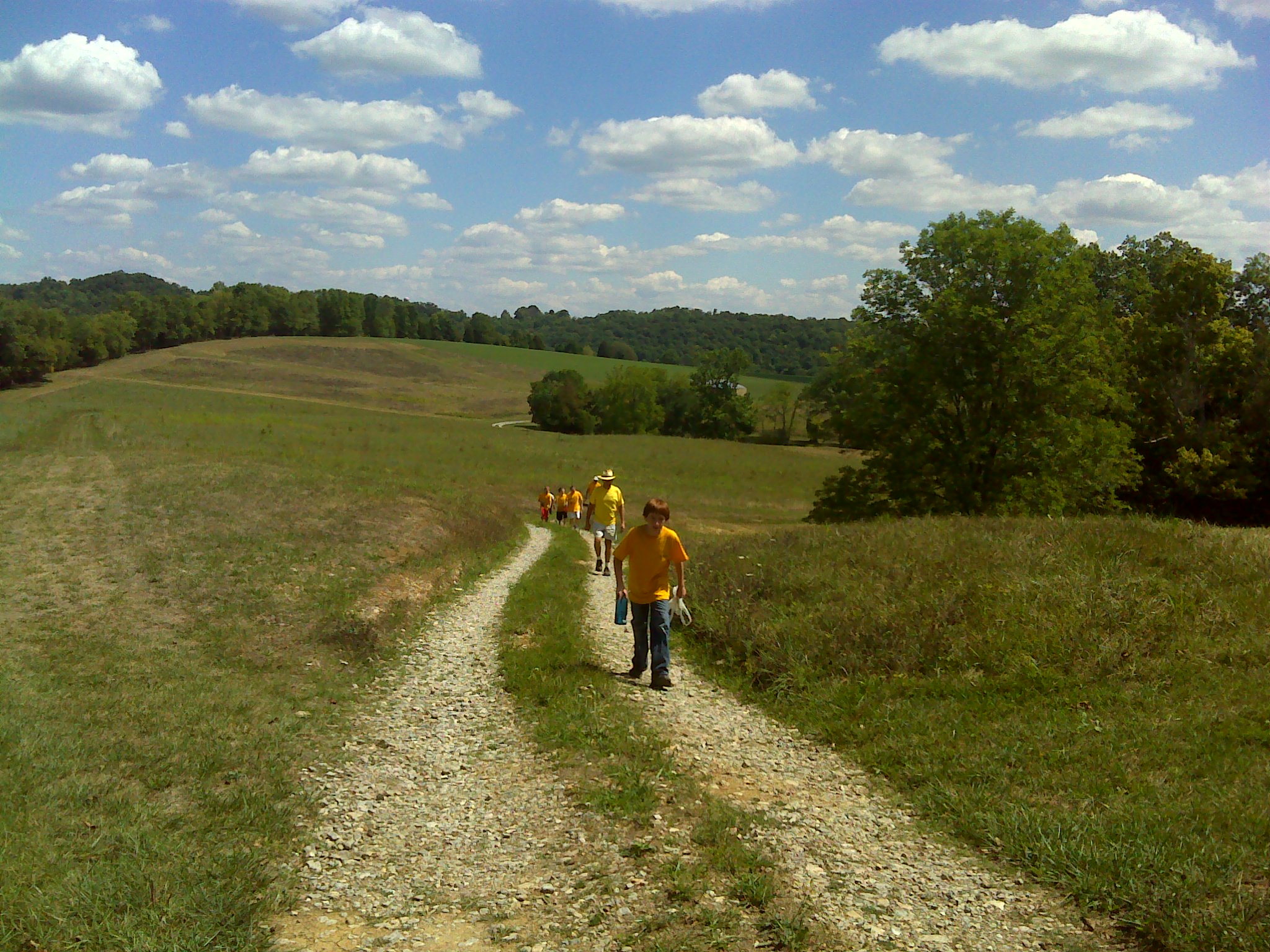
2012 August--Krumms' Farm (18)
2012 August--Krumms' Farm (16)
2012 August--Krumms' Farm (47)
2012 August--Krumms' Farm (48)
Topographic Map of IN-, Bennington, IN, USA
Find elevation by address:

Places near IN-, Bennington, IN, USA:
Pleasant Township
Pleasant Grove Rd, Bennington, IN, USA
Bennington
North Dow Ridge Road
Brown Township
Milton Township
Shelby Township
Canaan
E Canaan Main Cross St, Madison, IN, USA
Switzerland County
Caesar Creek Township
IN-, Versailles, IN, USA
N Martin Rd, Madison, IN, USA
S Benham Rd, Versailles, IN, USA
Bakes Rd, Vevay, IN, USA
Bells Branch Rd, Dillsboro, IN, USA
IN-, Vevay, IN, USA
13173 Shiloh Rd
Brooksburg
E Brooksburg Old Sr 56, Madison, IN, USA
Recent Searches:
- Elevation of Corso Fratelli Cairoli, 35, Macerata MC, Italy
- Elevation of Tallevast Rd, Sarasota, FL, USA
- Elevation of 4th St E, Sonoma, CA, USA
- Elevation of Black Hollow Rd, Pennsdale, PA, USA
- Elevation of Oakland Ave, Williamsport, PA, USA
- Elevation of Pedrógão Grande, Portugal
- Elevation of Klee Dr, Martinsburg, WV, USA
- Elevation of Via Roma, Pieranica CR, Italy
- Elevation of Tavkvetili Mountain, Georgia
- Elevation of Hartfords Bluff Cir, Mt Pleasant, SC, USA