Elevation of Caesar Creek Township, IN, USA
Location: United States > Indiana > Dearborn County >
Longitude: -85.101247
Latitude: 38.9633081
Elevation: 254m / 833feet
Barometric Pressure: 98KPa
Elevation Map:
Satellite Map:
Related Photos:
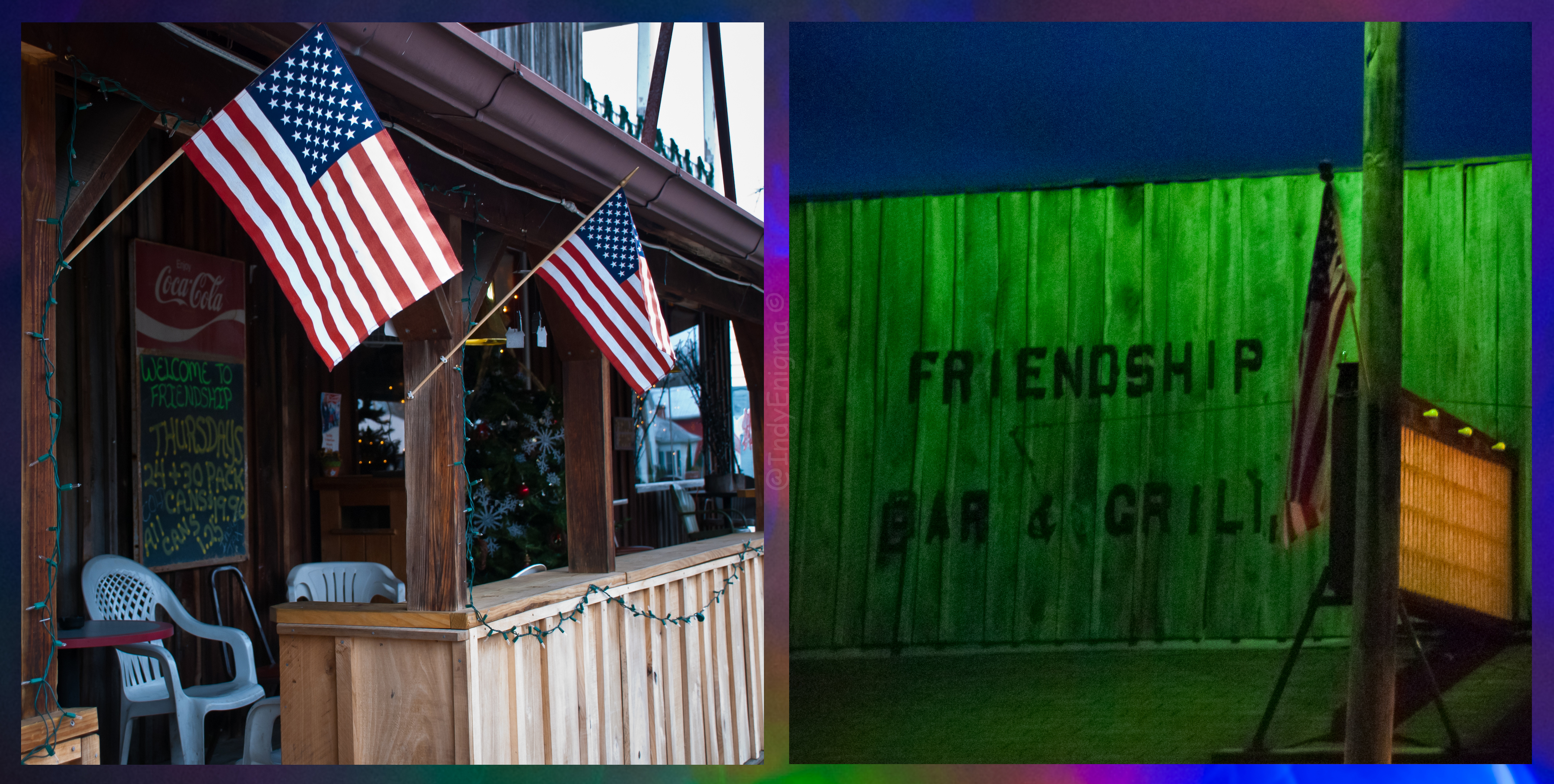
Welcome to Friendship... Bar & Grill
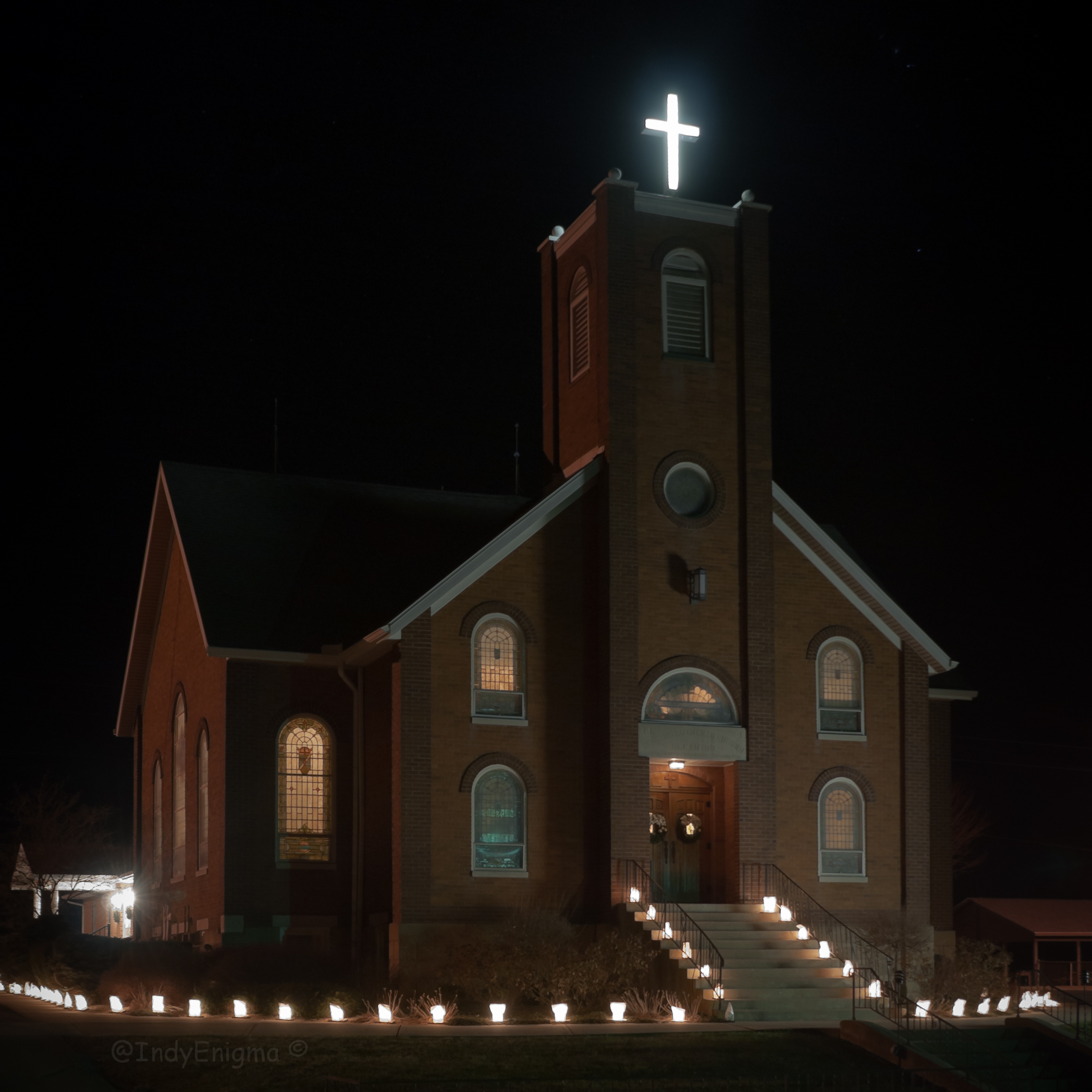
St. Paul Lutheran Church luminaries, trey...
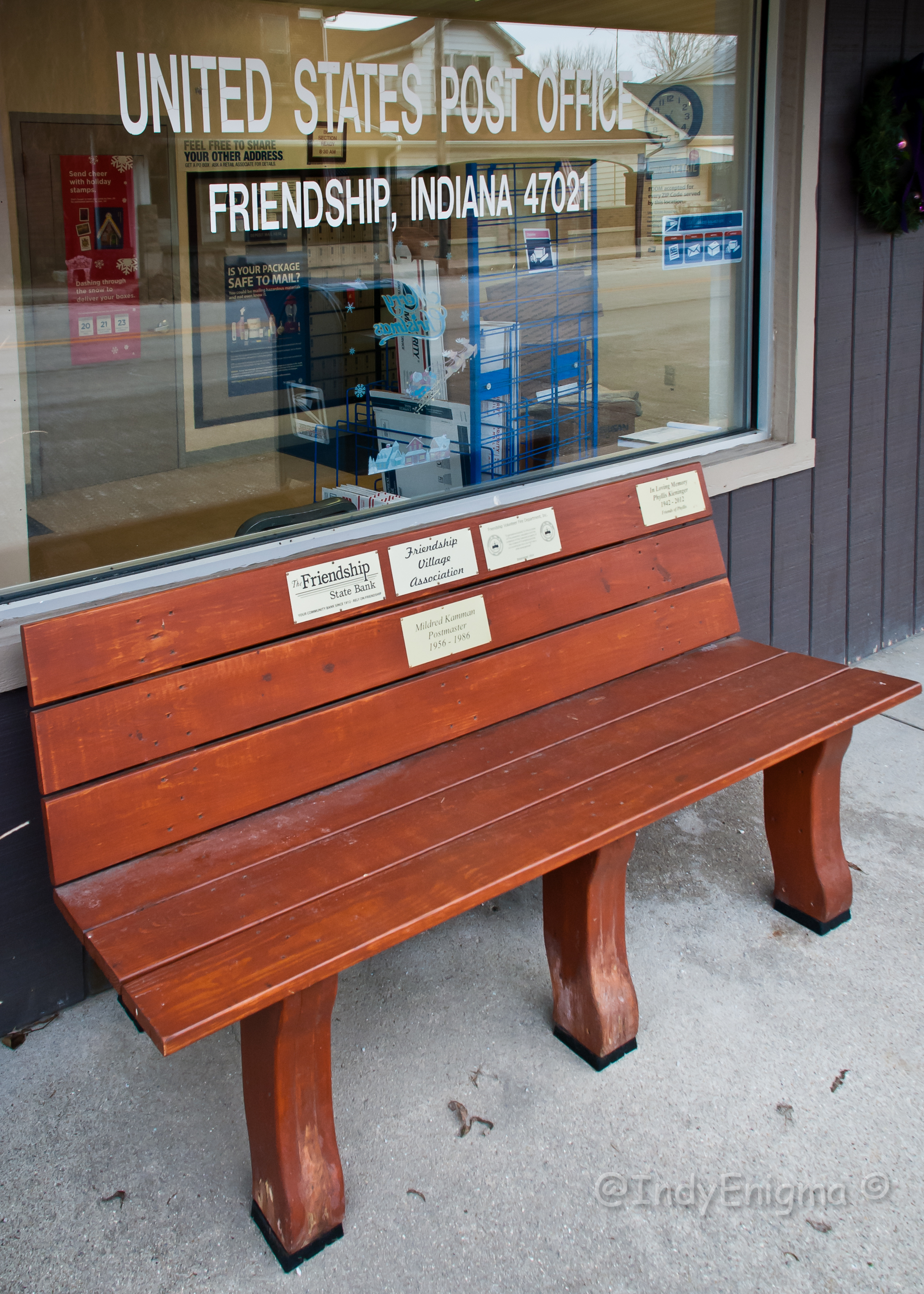
Friendship 47021... HBM

The view from our tent
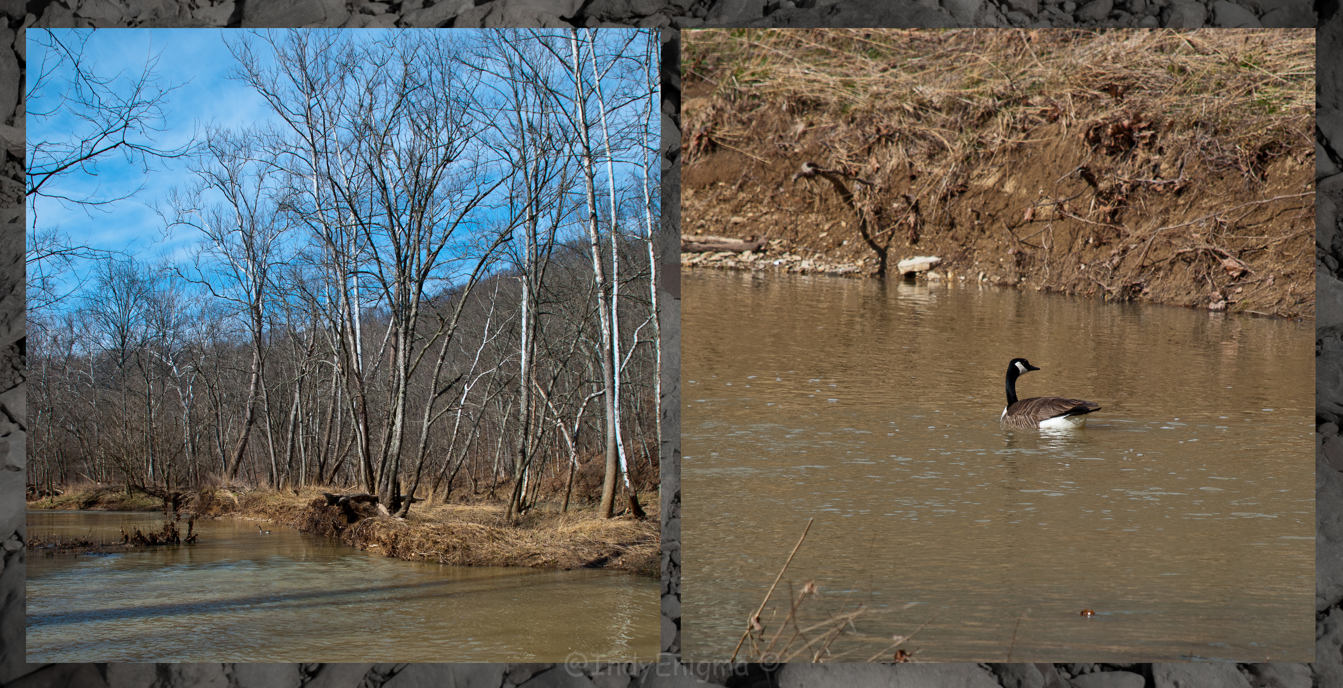
against the current...
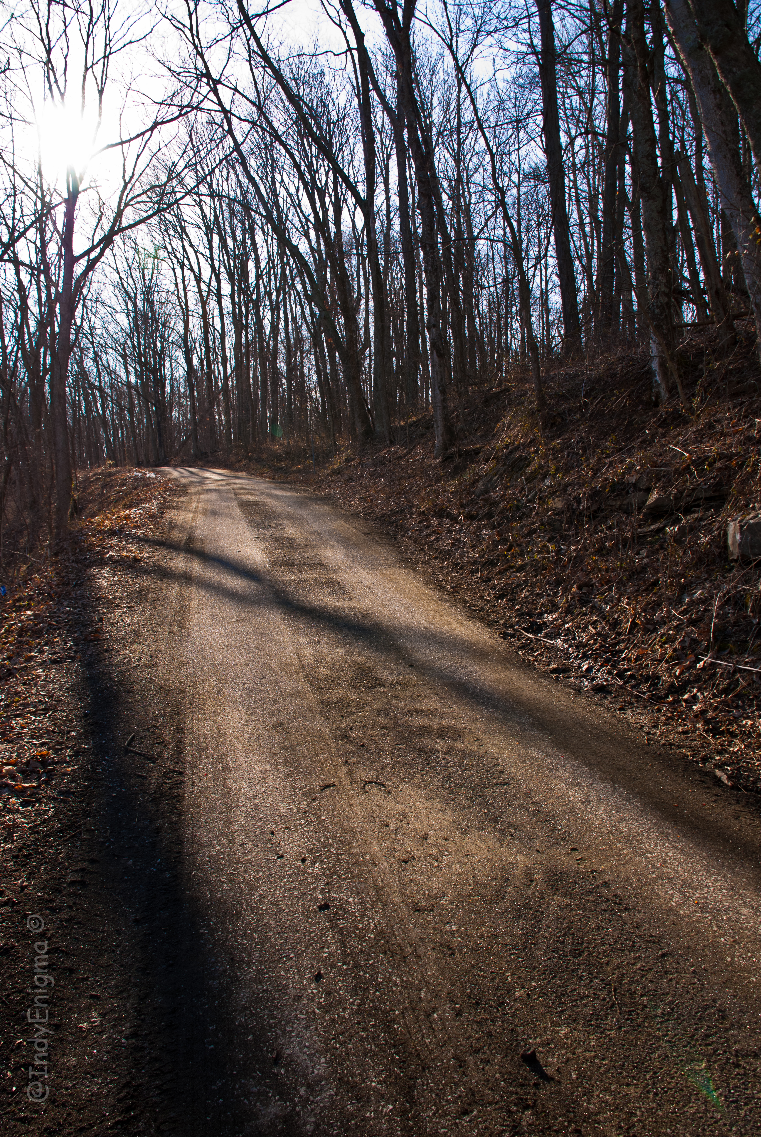
up the road...

Lost Bridge Orton (ish) Effect

10/365

After replacing two blown tires, we are back on the road to deliver the travel-trailer to #friendshipfleamarket. A little #cloudporn for your Friday evening enjoyment #ttot #travel

Current status: #fb

All around the campground

The Camp

People in camp
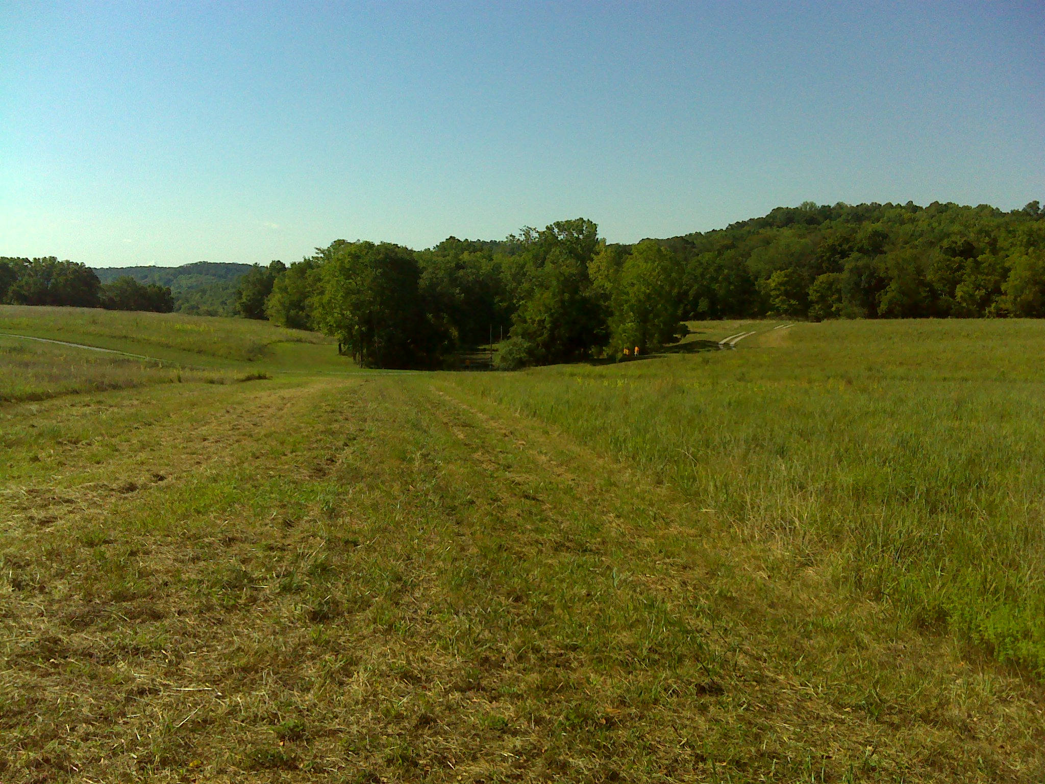
2012 August--Krumms' Farm (17)
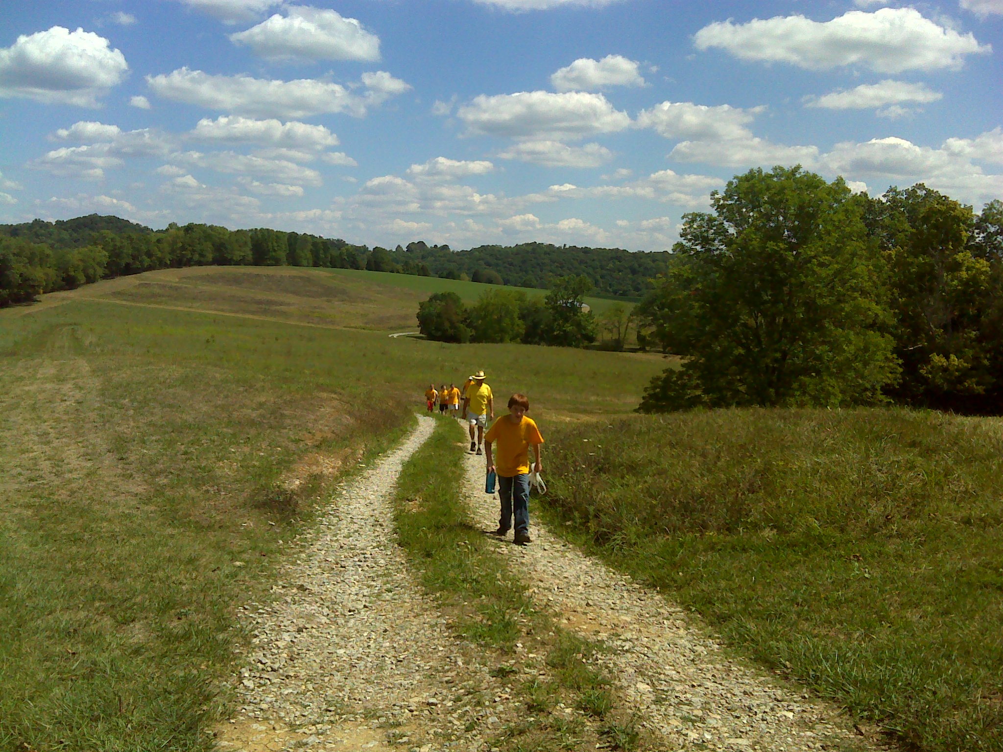
2012 August--Krumms' Farm (48)

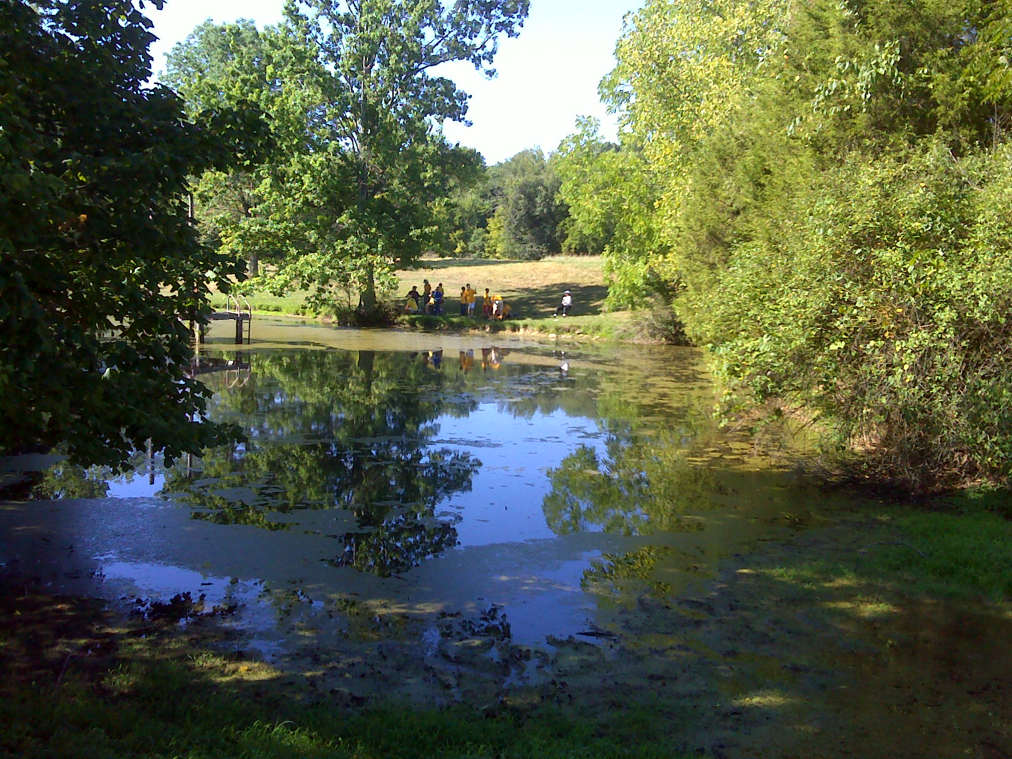
2012 August--Krumms' Farm (18)
2012 August--Krumms' Farm (16)
2012 August--Krumms' Farm (47)
Topographic Map of Caesar Creek Township, IN, USA
Find elevation by address:

Places in Caesar Creek Township, IN, USA:
Places near Caesar Creek Township, IN, USA:
Bells Branch Rd, Dillsboro, IN, USA
North St, Dillsboro, IN, USA
Dillsboro
Clay Township
11836 Aberdeen Rd
7714 E County Rd 125 S
13173 Shiloh Rd
New Hope Rd, Rising Sun, IN, USA
Pleasant Grove Rd, Bennington, IN, USA
Brown Township
S Co Rd E, Milan, IN, USA
Bennington
Cass Township
5627 E Co Rd 100 S
Washington Township
Pleasant Township
IN-, Versailles, IN, USA
IN-, Bennington, IN, USA
Switzerland County
Cotton Township
Recent Searches:
- Elevation of 3 Nestling Wood Dr, Long Valley, NJ, USA
- Elevation of Ilungu, Tanzania
- Elevation of Yellow Springs Road, Yellow Springs Rd, Chester Springs, PA, USA
- Elevation of Rēzekne Municipality, Latvia
- Elevation of Plikpūrmaļi, Vērēmi Parish, Rēzekne Municipality, LV-, Latvia
- Elevation of 2 Henschke Ct, Caboolture QLD, Australia
- Elevation of Redondo Ave, Long Beach, CA, USA
- Elevation of Sadovaya Ulitsa, 20, Rezh, Sverdlovskaya oblast', Russia
- Elevation of Ulitsa Kalinina, 79, Rezh, Sverdlovskaya oblast', Russia
- Elevation of 72-31 Metropolitan Ave, Middle Village, NY, USA