Elevation of Cotton Township, IN, USA
Location: United States > Indiana > Switzerland County >
Longitude: -85.012950
Latitude: 38.8710199
Elevation: 269m / 883feet
Barometric Pressure: 98KPa
Elevation Map:
Satellite Map:
Related Photos:

Courthouse grounds guardian... HFF!

Welcome to Friendship... Bar & Grill

Courthouse Flag

KU Ghent Generating Station 01 HDR
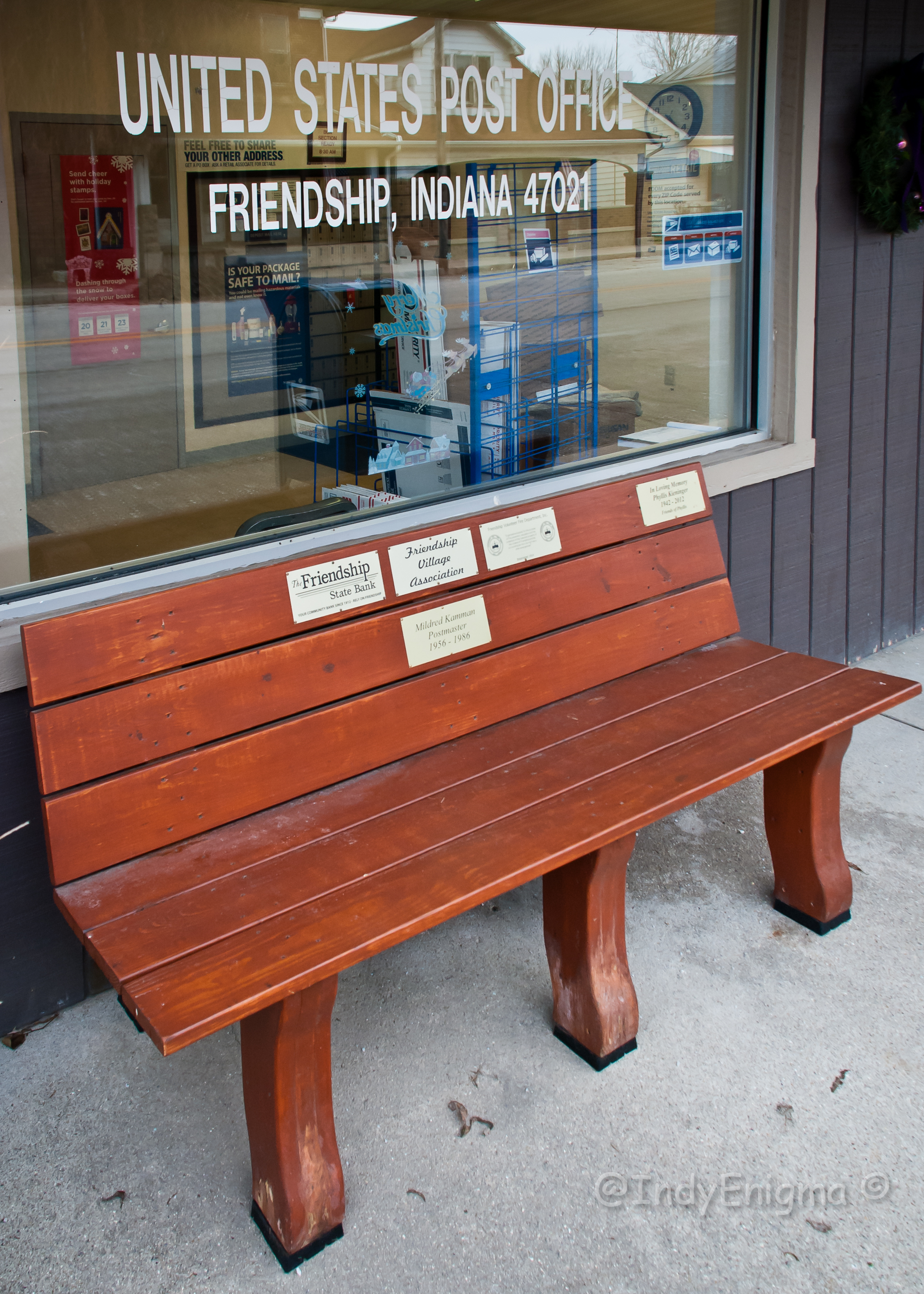
Friendship 47021... HBM

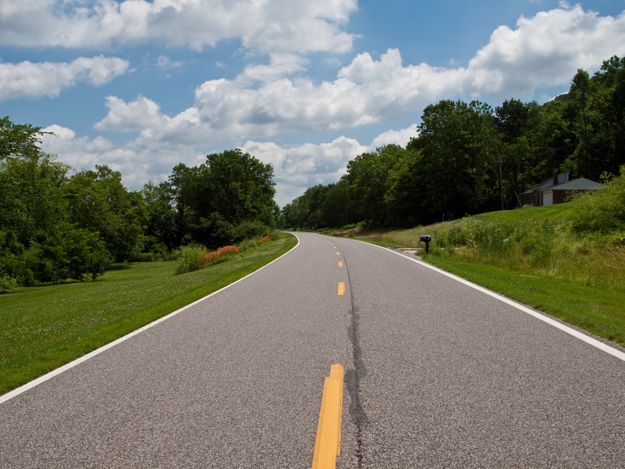
The Road

Markland Locks and Dam, Ohio River, 28 September 1989

Markland Locks and Dam, Ohio River, 28 September 1989

Farm House

Rosemont Inn · Porch View

The view from our tent

River Moon

IMG_7950.JPG

10/365

IMG_9297.JPG

IMG_8009.JPG
Indiana 156

IMG_9294.JPG

IMG_9293.JPG

Down the river

Ohio river

Banks of the Ohio River

Ohio River

Banks of the Ohio River

Lost Bridge Orton (ish) Effect

Ohio River

Dam to Left; Locks to Right

Downstream Gates Closing for next Boat

Looking Upstream as we Leave the Lock

All around the campground

People in camp

Isaac at Laughery Creek

The Camp
Topographic Map of Cotton Township, IN, USA
Find elevation by address:

Places near Cotton Township, IN, USA:
IN-56, Vevay, IN, USA
11748 Peelman Rd
13173 Shiloh Rd
IN-56, Rising Sun, IN, USA
11836 Aberdeen Rd
New Hope Rd, Rising Sun, IN, USA
Cass Township
14690 Red Hog Pike
Ohio County
Quercus Grove Rd, Rising Sun, IN, USA
4403 In-56
4433 In-56
4159 In-56
Clay Township
North St, Dillsboro, IN, USA
Dillsboro
4358 In-56
9204 Alta Vista Ln
Salem Ridge Road
4245 In-56
Recent Searches:
- Elevation of Congressional Dr, Stevensville, MD, USA
- Elevation of Bellview Rd, McLean, VA, USA
- Elevation of Stage Island Rd, Chatham, MA, USA
- Elevation of Shibuya Scramble Crossing, 21 Udagawacho, Shibuya City, Tokyo -, Japan
- Elevation of Jadagoniai, Kaunas District Municipality, Lithuania
- Elevation of Pagonija rock, Kranto 7-oji g. 8"N, Kaunas, Lithuania
- Elevation of Co Rd 87, Jamestown, CO, USA
- Elevation of Tenjo, Cundinamarca, Colombia
- Elevation of Côte-des-Neiges, Montreal, QC H4A 3J6, Canada
- Elevation of Bobcat Dr, Helena, MT, USA