Elevation of Pinnacle Pkwy, Union Mills, NC, USA
Location: United States > North Carolina > Rutherford County > Morgan >
Longitude: -82.035933
Latitude: 35.5309611
Elevation: 673m / 2208feet
Barometric Pressure: 93KPa
Elevation Map:
Satellite Map:
Related Photos:

Silvers Welch Road View (IRG)
Davistown Church Road View

Silvers Welch Road View

Keep Coming Back

Puerta Del Cielo | Sunset
View from Gateway Mtn.

Looking toward Climgman's Peak from the Mt. Mitchell summit trail.
View from Gateway Mtn.

Gypsy Gold

Love in the Remains
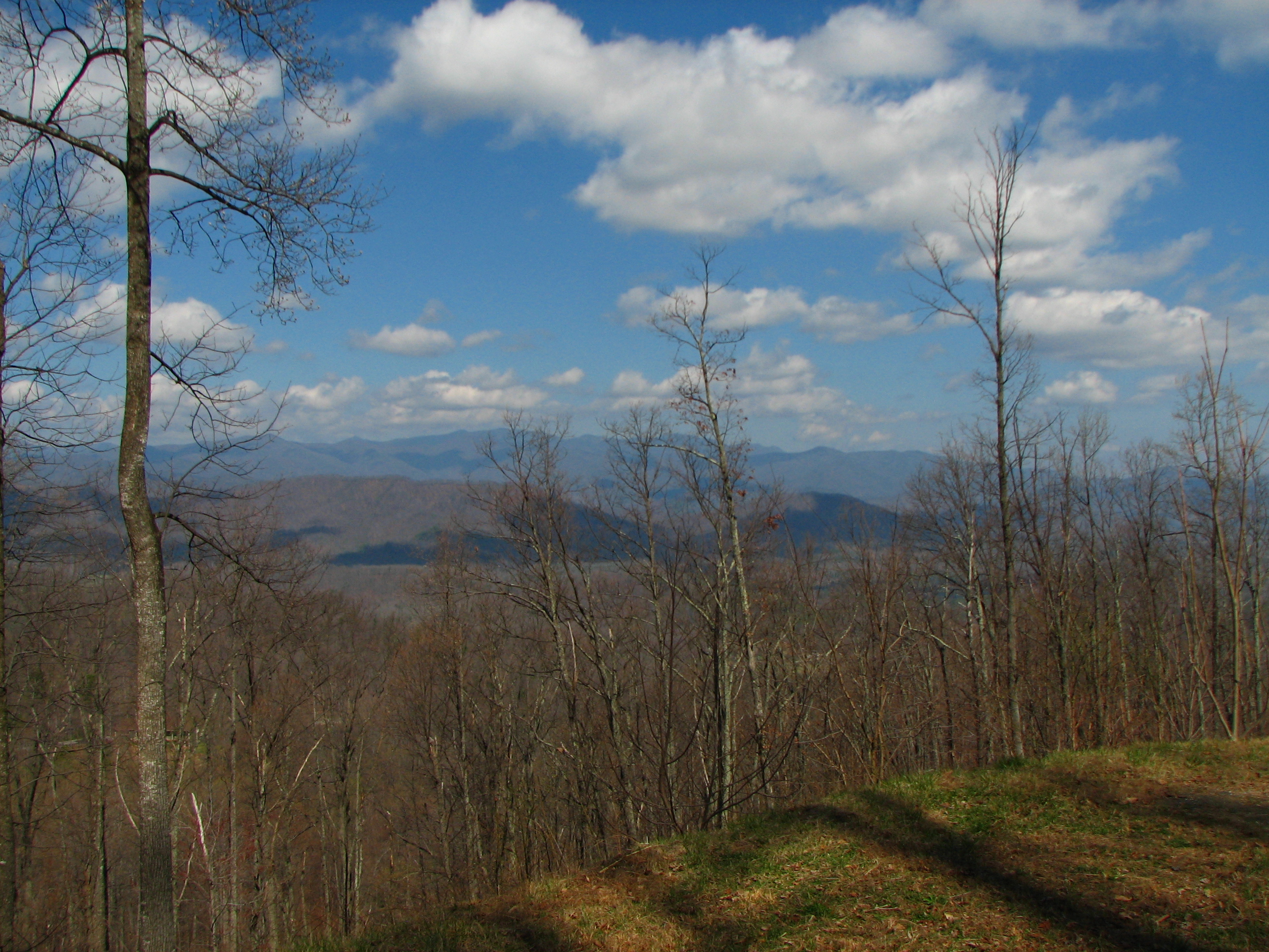
Long view from Gateway Mountain

Not a bad view at all and a fun hike. Base of the waterfall at Chimney Rock.
View from Gateway Mtn.

Train Chase [II]
Virginia Rest Area (19)

DSCN0105 (1024x768)

IMG_6508 (1024x768)

IMG_6518 (1024x768)
IMG_9049 (1024x768)
IMG_6503 (768x1024)

IMG_9041 (1024x768)

IMG_6589 (1024x300)

IMG_6513 (1024x768)
IMG_6536 (1024x347)
IMG_8955 (1024x768)
IMG_8944 (1024x768)

IMG_8943 (1024x316)
IMG_8943 (1024x316)

IMG_9042 (1024x768)
IMG_6615 (1024x768)
IMG_6499 (1024x768)
Topographic Map of Pinnacle Pkwy, Union Mills, NC, USA
Find elevation by address:

Places near Pinnacle Pkwy, Union Mills, NC, USA:
1621 Pinnacle Pkwy
134 Private Dr
1621 Pinnacle Pkwy
2568 Pinnacle Pkwy
694 Pinnacle Pkwy
370 Wilkerson Way
146 Crossings Dr S
181 Ashe Bridge Rd
27 Crossings Dr N
117 Southview Dr
311 The Trolley Rd
4454 Cove Rd
1331 Bethel Church Rd
8593 Sugar Hill Rd
8593 Sugar Hill Rd
8593 Sugar Hill Rd
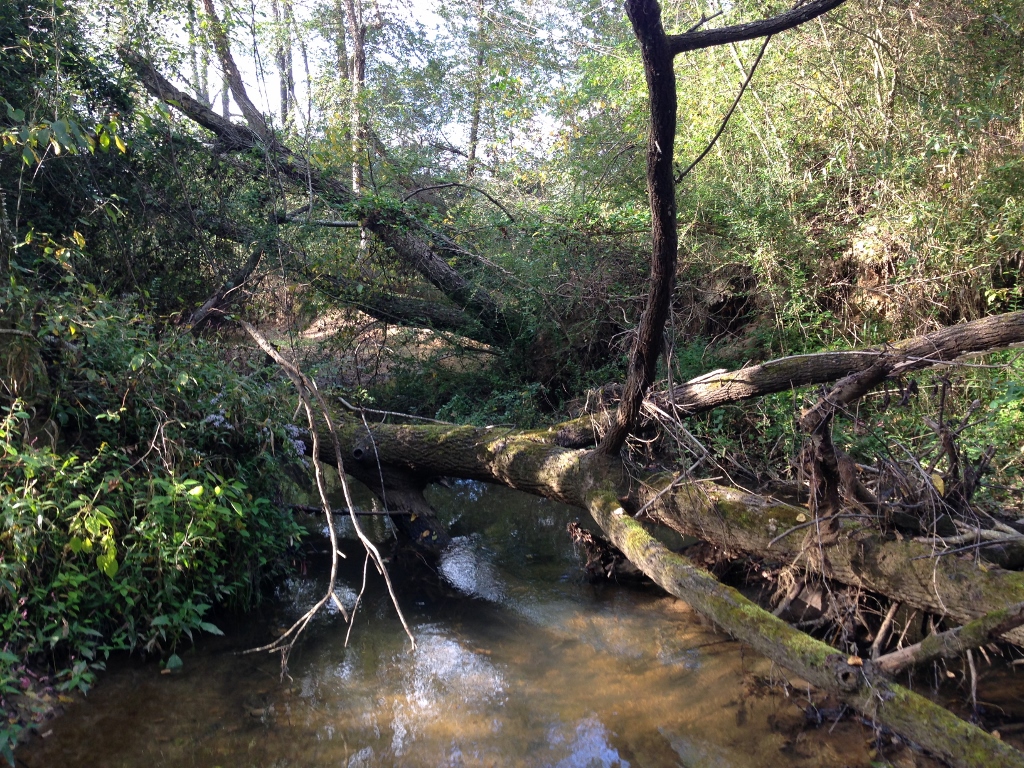
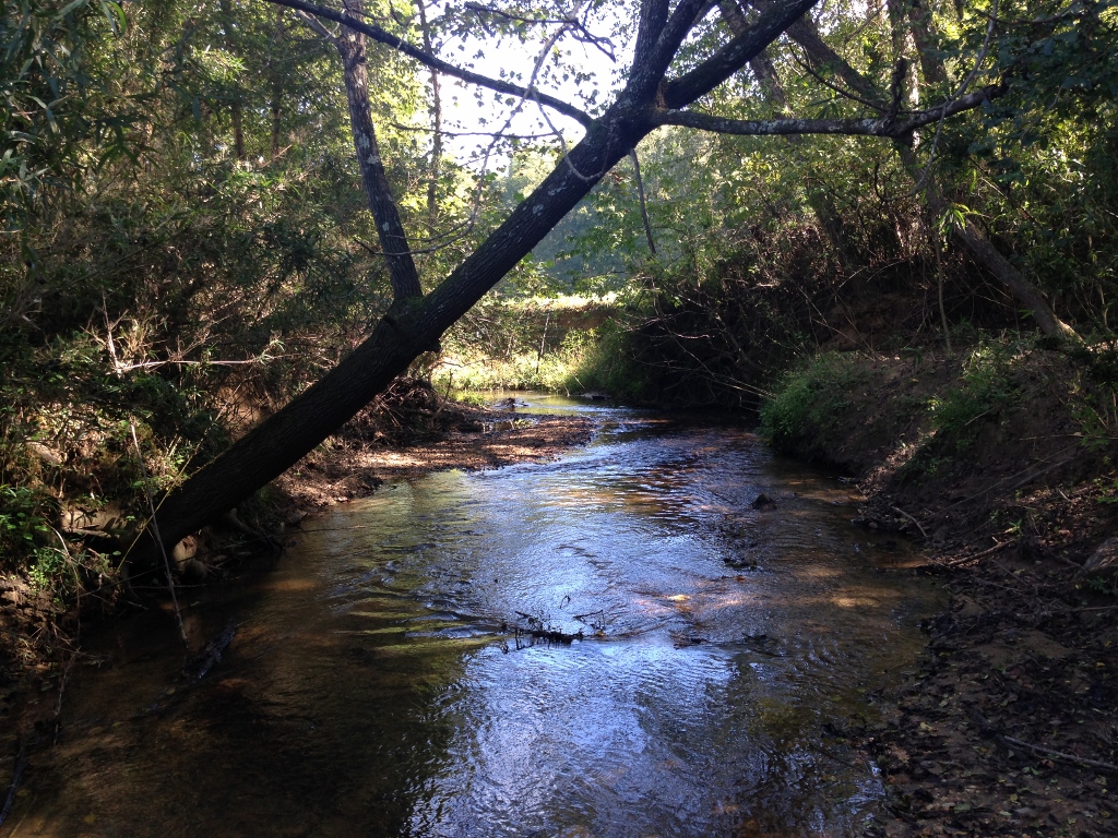
Montford Cove
Greasy Creek
149 Watercrest Dr
364 Shadow Dr
Recent Searches:
- Elevation of Lytham Ln, Katy, TX, USA
- Elevation of Tater Hill, Oklahoma, USA
- Elevation of NY-, Friendship, NY, USA
- Elevation of 64 Danakas Dr, Winnipeg, MB R2C 5N7, Canada
- Elevation of 4 Vale Rd, Sheffield S3 9QX, UK
- Elevation of Keene Point Drive, Keene Point Dr, Grant, AL, USA
- Elevation of State St, Zanesville, OH, USA
- Elevation of Austin Stone Dr, Haslet, TX, USA
- Elevation of Bydgoszcz, Poland
- Elevation of Bydgoszcz, Poland