Elevation of Greasy Creek, North Carolina, USA

Location: United States > North Carolina > Mcdowell County > Marion > Marion >

Longitude: -82.100800

Latitude: 35.5330582

Elevation: 353m / 1158feet

Barometric Pressure: 97KPa

Elevation Map:

elevation map of Greasy Creek, North Carolina, USA

Satellite Map:

Satellite map of Greasy Creek, North Carolina, USA

Related Photos:

butterfly lily flower dof carolina ncmountainman d70s phixe nationalgeographicsociety lowresolutionversion macro insect pollen bloom bud wings wildflower lakelure ngs nikon explore explored
Dive In ~ Explored ~
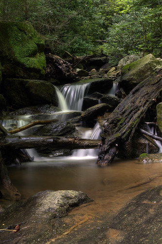
longexposure family camping trees water waterfall nc moss rocks northcarolina lush hdr naturephotography mcdowellcounty june2009 catawbafalls davidhopkinsphotography
A Perfect Day...
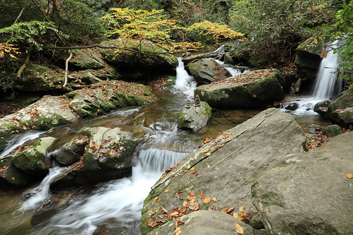
longexposure sunlight green nature pool waterfall nc moss log northcarolina hdr naturephotography mcdowellcounty ncwaterfall waterfallphotography davidhopkinsphotography uppercatawbafalls
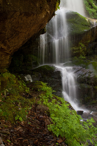
Upper Catawba Falls
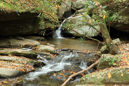
county longexposure green waterfall nc moss rocks whitewater north ledge carolina nor silky mcdowell waterfallphotography davidhopkinsphotography uppercatawbafalls
Under the Ledge
creek waterfall nc rocks stream northcarolina bluesky wnc rhodo oldfort mcdowellcounty catawbariver davidhopkinsphotography
Upper Catawba Falls
rock river waterfall nc moss northcarolina pisgahnationalforest catawba oldfort mcdowellcounty waterfallphotography davidhopkinsphotography
Catawba Cascade
trees lake water nc tripod northcarolina hdr gitzo chimneyrock lakelure photomatix 5exposure arcatech tokinaatx116prodx gt2531
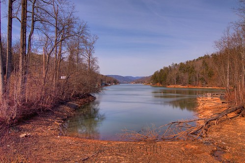
Lake Lure
longexposure nature pool waterfall nc moss rocks logs northcarolina limbs cascade hdr naturephotography catawbafalls waterfallphotography davidhopkinsphotography
Catawba Falls Cascade
canon northcarolina rebelxt canonrebelxt kamote lakelure rebelxti eos400d canoneos400d streamoflife canonrebelxti pkchallenge kamoteus2003 kamoteus burabog kaantabe91 ronmiguelrn fairfieldsmountains
on a different perspective... tgif my friend!
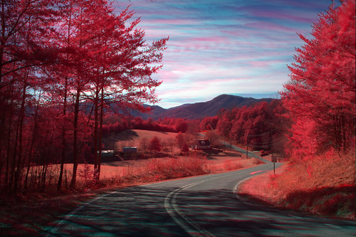
trees sky mountains rural landscape spring scenic northcarolina infrared
Silvers Welch Road View (IRG)
longexposure sun nature rock waterfall nc northcarolina hike hdr naturephotography rhododendrons wnc pisgahnationalforest ncmountains oldfort mcdowellcounty waterfallphotography davidhopkinsphotography uppercatawbafalls
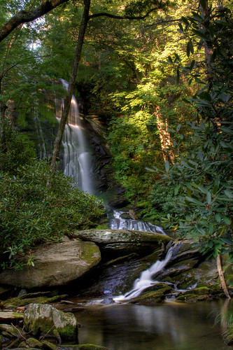
Upper Catawba Falls
longexposure nature pool rock closeup waterfall nc moss northcarolina cascades naturephotography mcdowellcounty waterfallphotography davidhopkinsphotography uppercatawbafalls
Big Rock and Water
longexposure mountains green waterfall nc northcarolina cascades lush naturephotography mcdowellcounty catawbafalls davidhopkinsphotography
Lower Catawba Falls
longexposure mountains nature water waterfall nc moss log rocks northcarolina naturephotography coldwater ncmountains mcdowellcounty waterfallphotography davidhopkinsphotography lowercatawbafalls
Below the Falls
longexposure waterfall nc moss rocks northcarolina cascade blueribbonwinner oldfort mcdowellcounty catawbafalls davidhopkinsphotography
Catawba Falls Cascade
trees green water waterfall nc rocks northcarolina cascade oldfort mcdowellcounty catawbafalls davidhopkinsphotography
Catawba Falls Cascade
longexposure nature pool rock closeup waterfall nc moss northcarolina cascades naturephotography mcdowellcounty waterfallphotography davidhopkinsphotography uppercatawbafalls
Upper Catawba Falls Close Up
signs photoshop funnysign hwy40 oldfortnc dougmallnikond5000 alteredlettering editingmagic
Featured B&B...
nature waterfall nc whitewater northcarolina naturephotography oldfort mcdowellcounty catawbafalls davidhopkinsphotography waterfallphotograpy
Wet and Wild
sunset house mountain lake hdr lure 3gs iphone photomatix iphone3gs
Keep Coming Back
RECAP.......
friends waterfall nc moss rocks northcarolina hdr mcdowellcounty waterfallphotography davidhopkinsphotography lowercatawbafalls pagesdavidhopkinsphotography120596251339807vwall
Splish Splasin'
weather shower landscape scenic aerial autumn northcarolina
Rain at Lake Lure
aerial clouds northcarolina landscape scenic
Mountain Beams
longexposure river waterfall nc rocks stream northcarolina cascade westernnorthcarolina oldfort mcdowellcounty catawbafalls waterfallphotography davidhopkinsphotography pagesdavidhopkinsphotography120596251339807vwall
Forgotten Cascade
2020 americas northamerica unitedstates northcarolina pisgah nationalforest river water waterfall mcdowellcounty catawbariver canyon appalachia nationalsite
Catawba River and Clover Patch Branch
2020 americas northamerica unitedstates northcarolina pisgah nationalforest river water waterfall mcdowellcounty canyon appalachia nationalsite
Clover Patch Branch
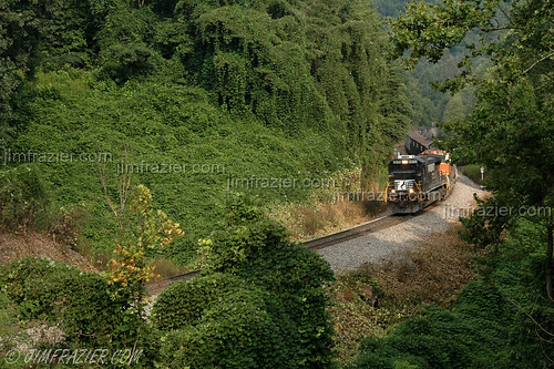
august 2006 mddcncscswingaugust2006 oldfortloops2006 oldfortloops oldfort northcarolina train americana engineering technology industry business commerce roadtrip road trip vacation travel locomotive locomotives engine engines railroad railroads railway trains tracks diesel heavymetal heavy metal transportation vehicles vehicle machinery apparatus railran railfanning trainwatching trainwatcher rural country countryside scenery landscape norfolksouthern q4 calendar machine rail freighttrain freight smalltown flora history historical kudzu v1000 projecttrainfromeachstate v2000 f10 nature ©jimfraziercom v5000 wmembed infrastructure edgewaterpresentationapril2016 machines equipment railways mountains geology frazierstock
Grinding up the Old Fort Loops I