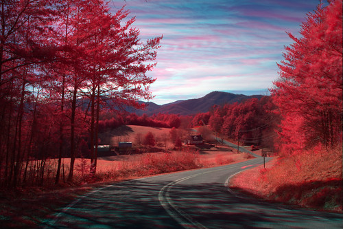
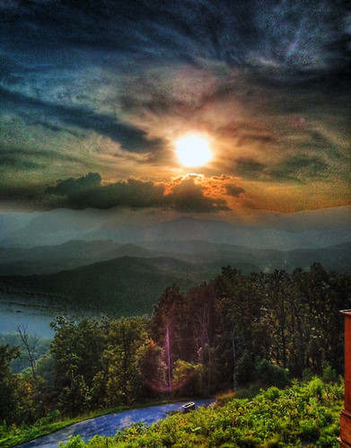
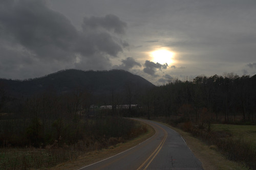
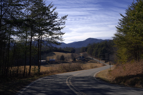
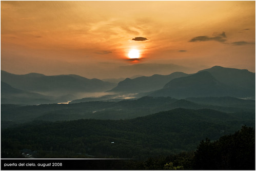
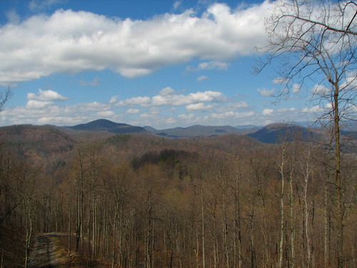
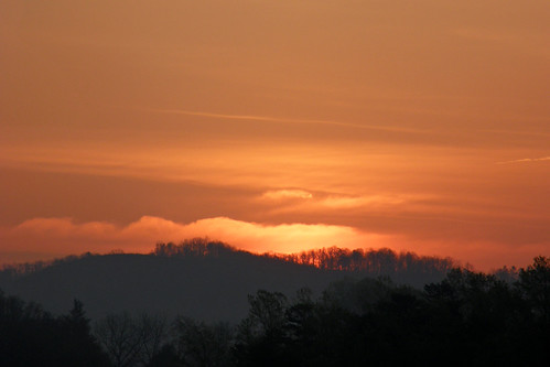
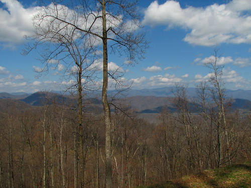
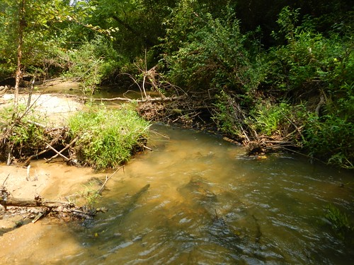
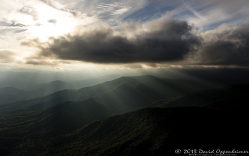
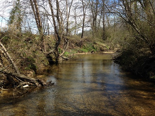
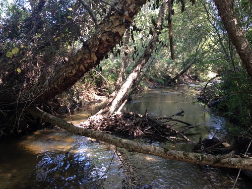
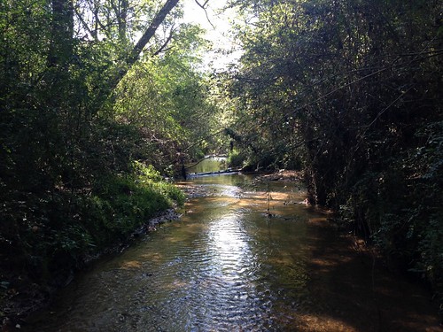
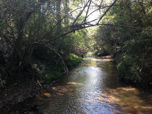
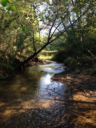
Elevation of Crossings Dr S, Marion, NC, USA
Location: United States > North Carolina > Mcdowell County > Montford Cove >
Longitude: -82.064550
Latitude: 35.5514429
Elevation: 364m / 1194feet
Barometric Pressure: 97KPa
Related Photos:

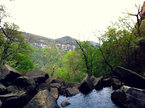
Awesome View of Hawaii from a lagoon! Get Paid to travel there! Ask me how! #workfromanywhere #zyndio #lifestyle #internetmarketer #freedomlifestyle #Arvotcm #theCarolinaMechanic #project1000 #anthonypowell #entrepreneur #life #best #blogger #homebusines

If you have to have a tub, the view is acceptable! #Arvotcm #theCarolinaMechanic #love #TagsForLikes.com #TagsForLikesApp #instagood #smile #follow #cute #photooftheday #tbt #followme #TagsForLikes.com #girl #beautiful #happy #picoftheday #instadaily #swa
Topographic Map of Crossings Dr S, Marion, NC, USA
Find elevation by address:

Places near Crossings Dr S, Marion, NC, USA:
27 Crossings Dr N
370 Wilkerson Way
117 Southview Dr
181 Ashe Bridge Rd
2097 Pinnacle Pkwy
Montford Cove
Greasy Creek
311 The Trolley Rd
4454 Cove Rd
1621 Pinnacle Pkwy
149 Watercrest Dr
1621 Pinnacle Pkwy
8593 Sugar Hill Rd
8593 Sugar Hill Rd
134 Private Dr
8593 Sugar Hill Rd
7115 Old Fort Sugar Hill Rd
2568 Pinnacle Pkwy
694 Pinnacle Pkwy
Sugar Hill Road
Recent Searches:
- Elevation of Elwyn Dr, Roanoke Rapids, NC, USA
- Elevation of Congressional Dr, Stevensville, MD, USA
- Elevation of Bellview Rd, McLean, VA, USA
- Elevation of Stage Island Rd, Chatham, MA, USA
- Elevation of Shibuya Scramble Crossing, 21 Udagawacho, Shibuya City, Tokyo -, Japan
- Elevation of Jadagoniai, Kaunas District Municipality, Lithuania
- Elevation of Pagonija rock, Kranto 7-oji g. 8"N, Kaunas, Lithuania
- Elevation of Co Rd 87, Jamestown, CO, USA
- Elevation of Tenjo, Cundinamarca, Colombia
- Elevation of Côte-des-Neiges, Montreal, QC H4A 3J6, Canada
