Elevation of Sugar Hill Rd, Marion, NC, USA
Location: United States > North Carolina > Mcdowell County > Marion > Marion >
Longitude: -82.036981
Latitude: 35.5890931
Elevation: 401m / 1316feet
Barometric Pressure: 97KPa
Elevation Map:
Satellite Map:
Related Photos:

Silvers Welch Road View (IRG)

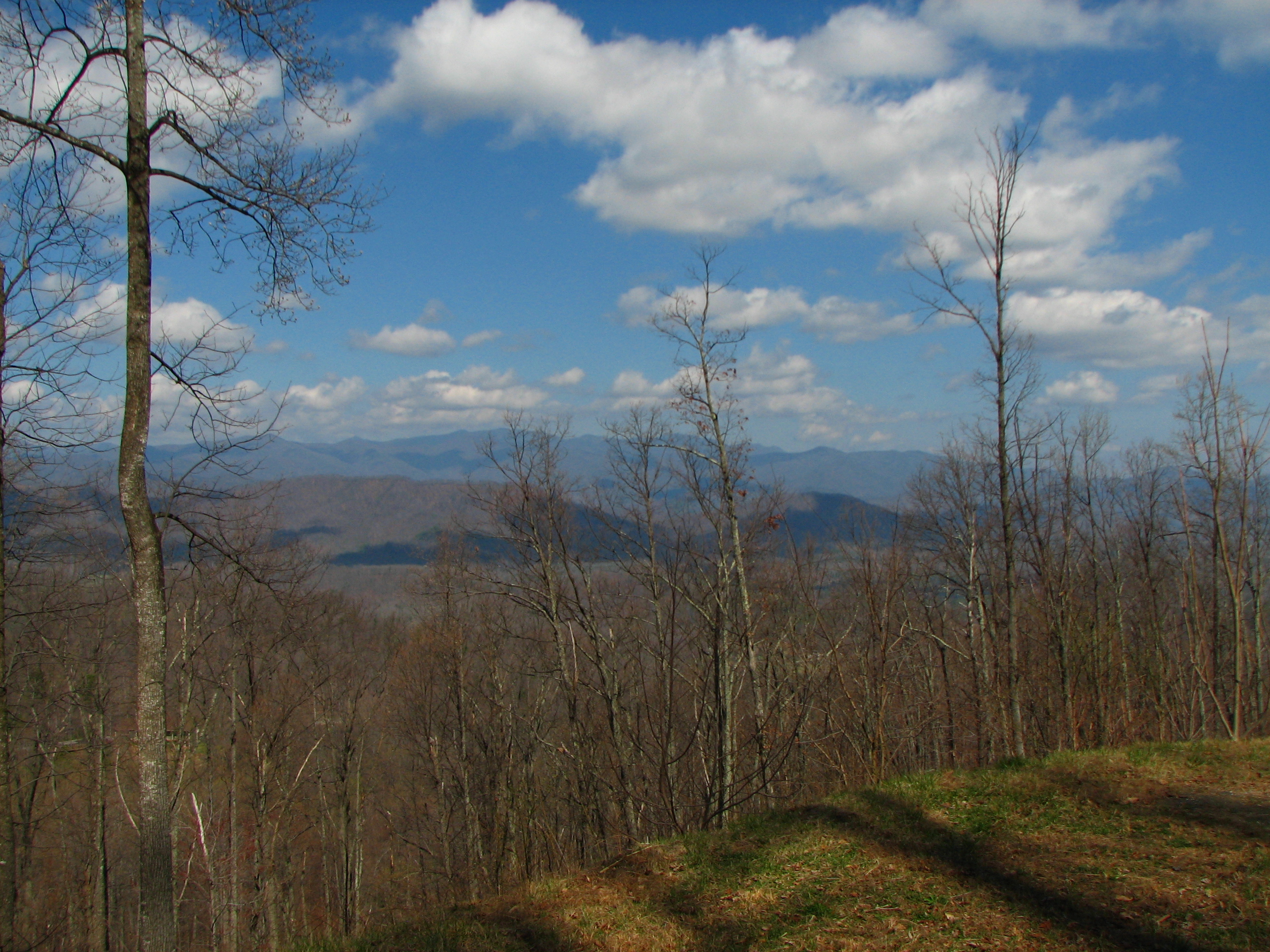
Looking toward Climgman's Peak from the Mt. Mitchell summit trail.

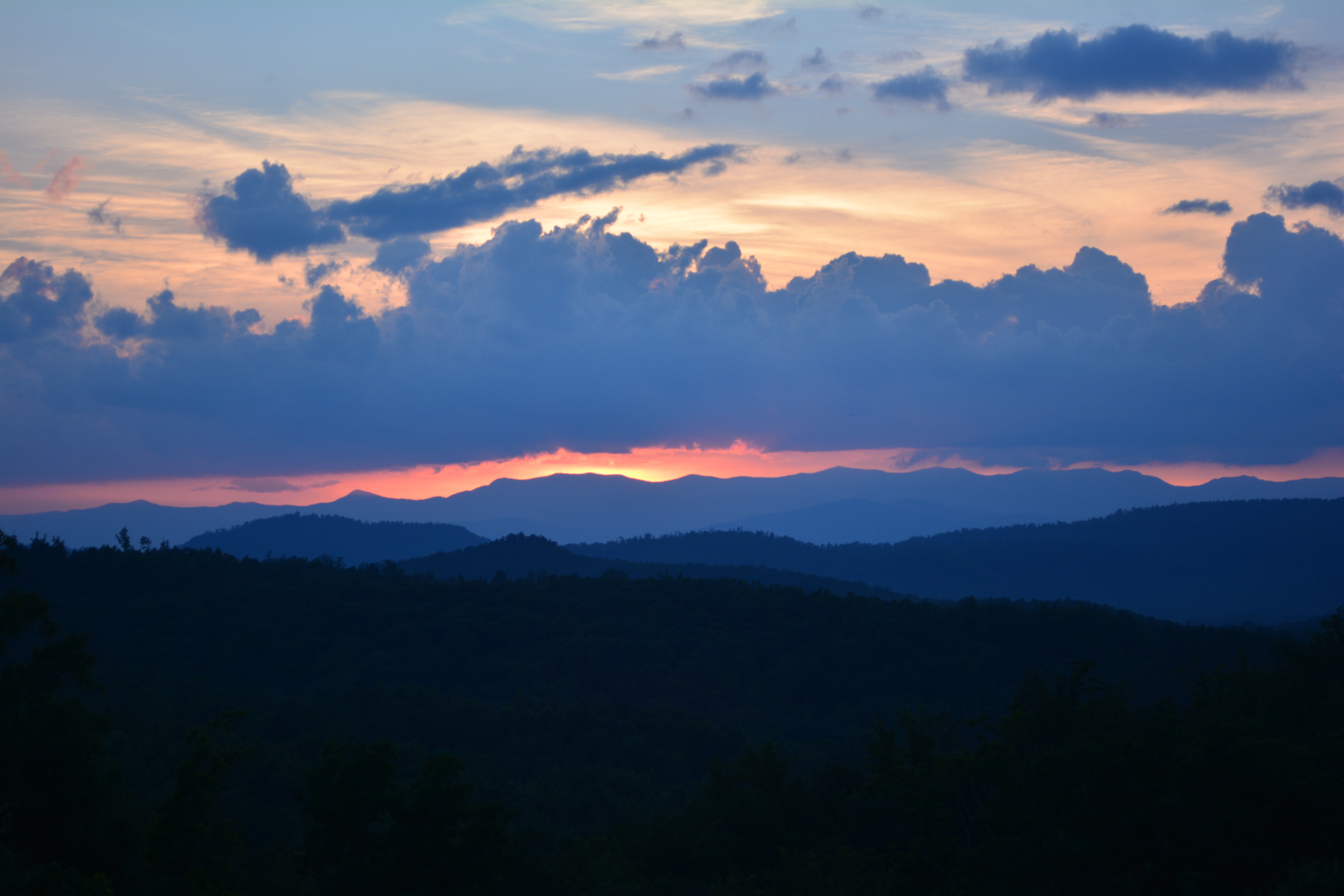
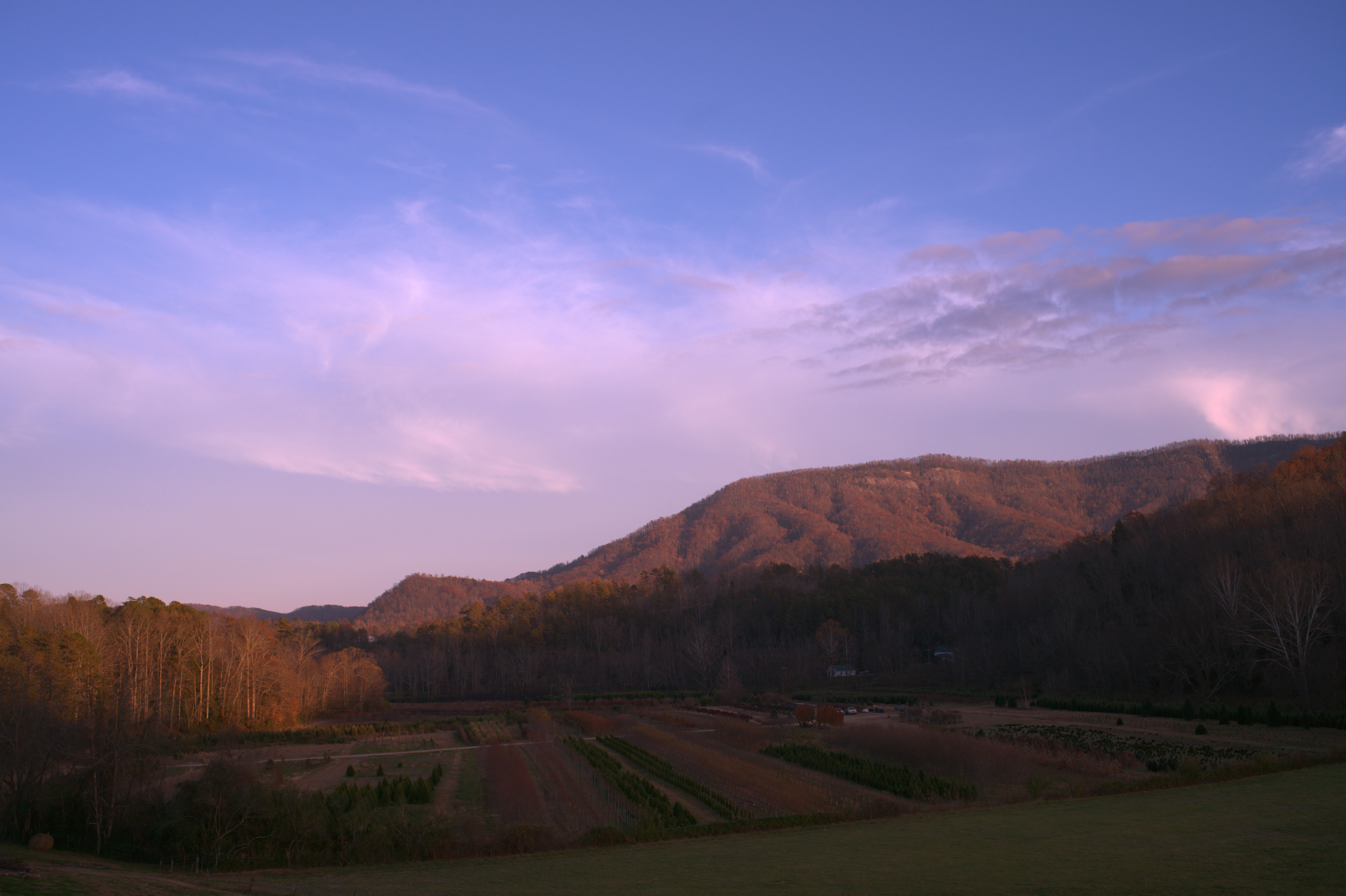
Sunrise at Grandview Peaks
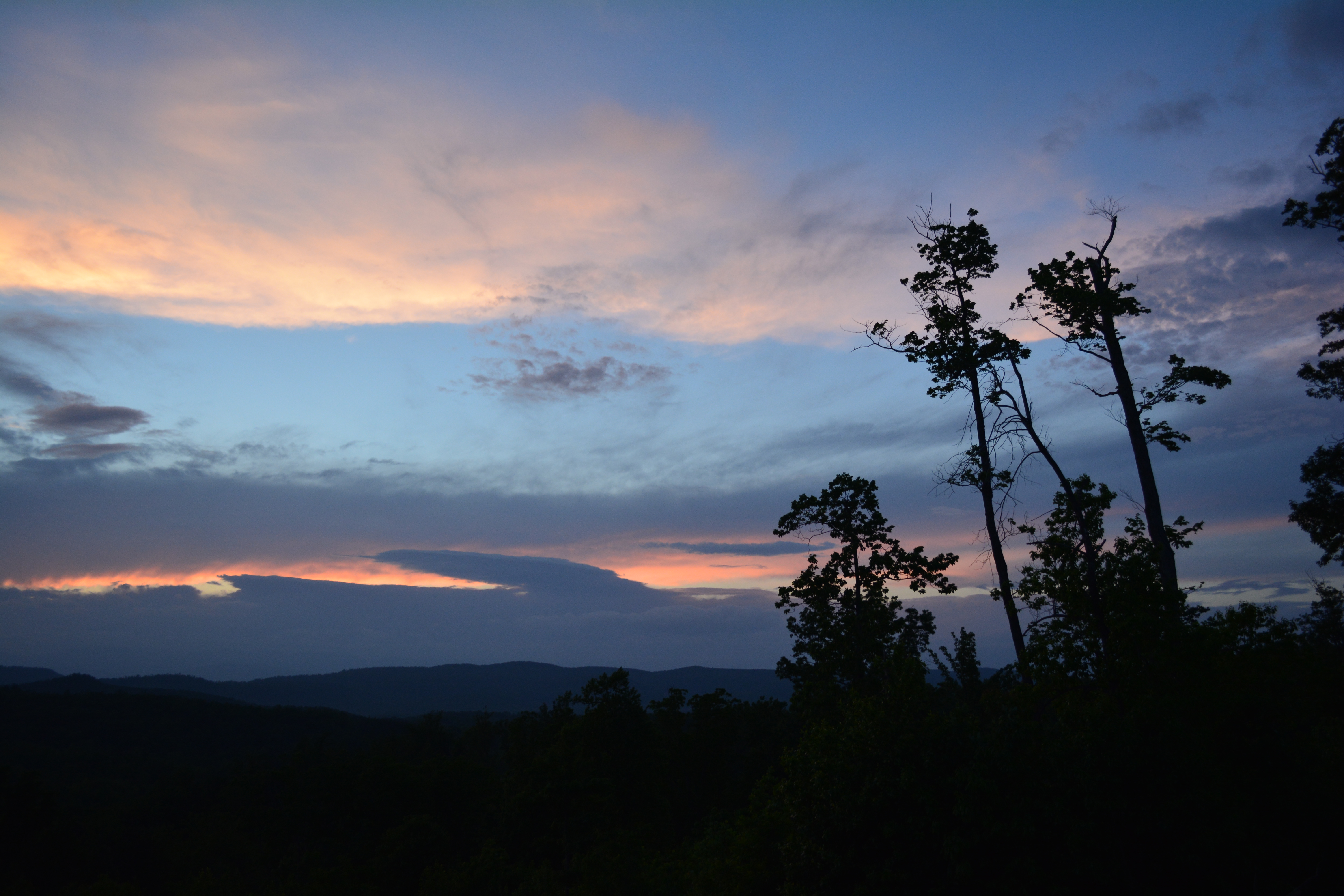
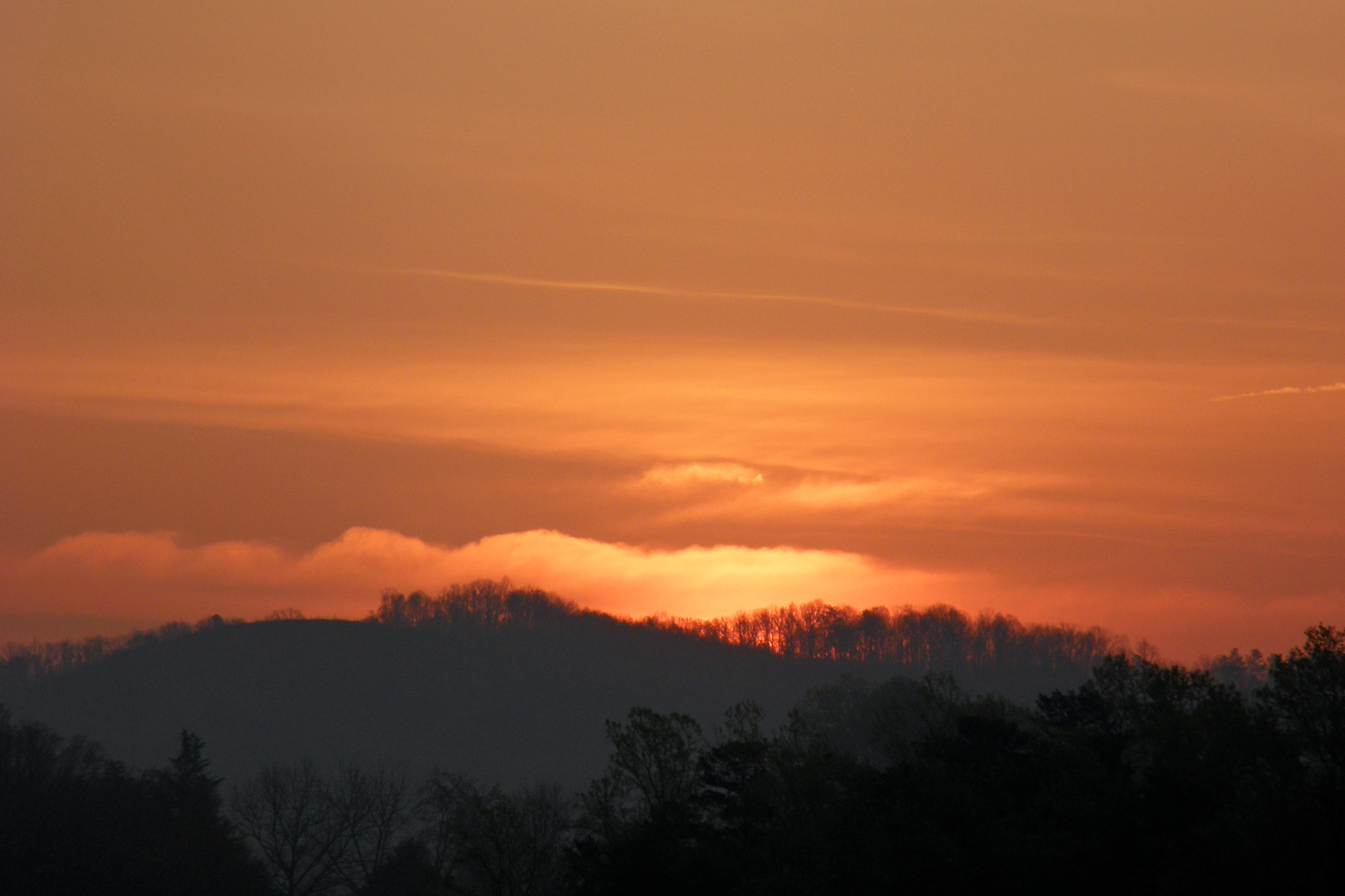
Sunset at Grandview Peaks
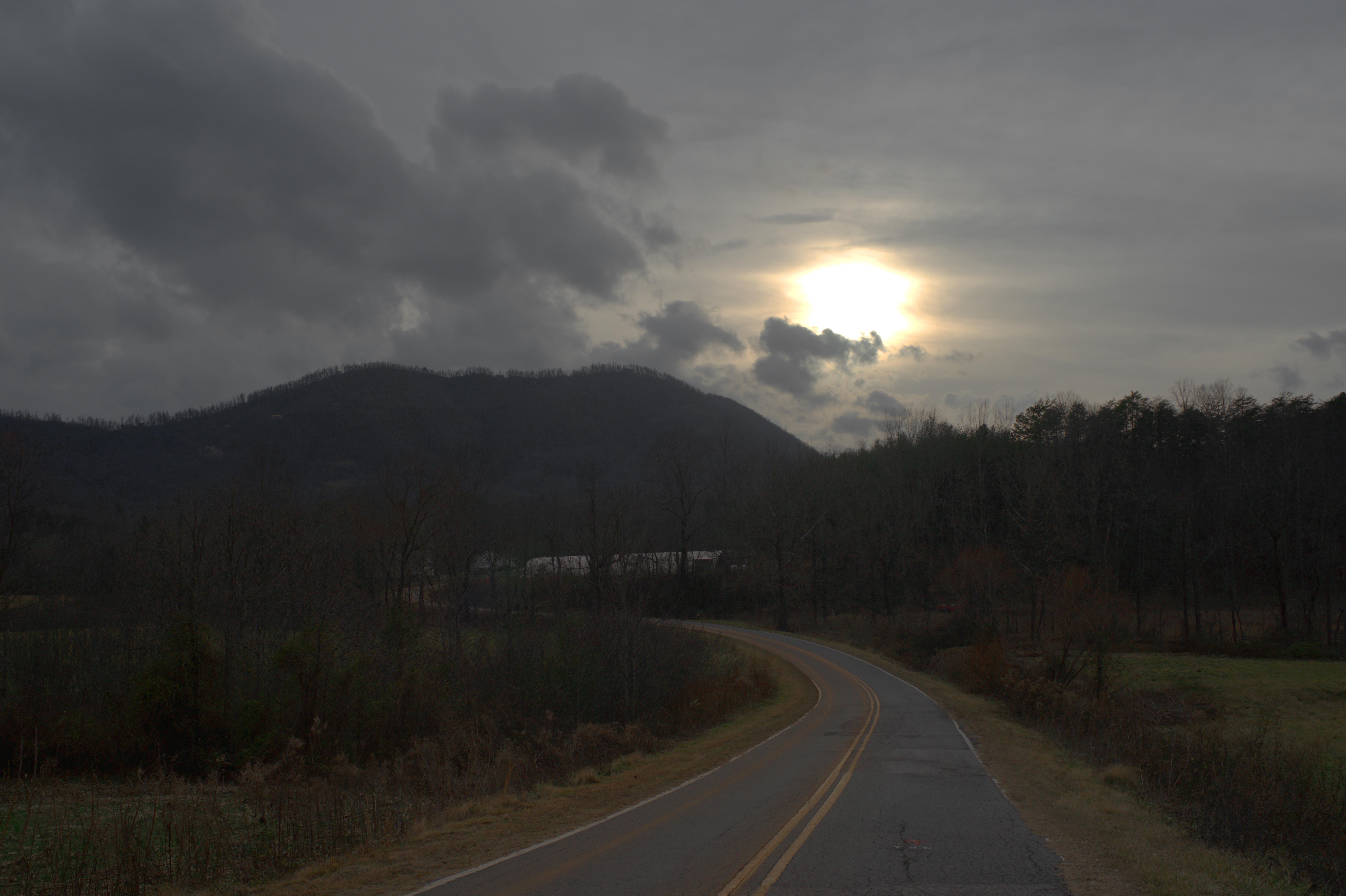
Davistown Church Road View

Silvers Welch Road View
Sunset at Grandview Peaks
Sunrise at Grandview Peaks
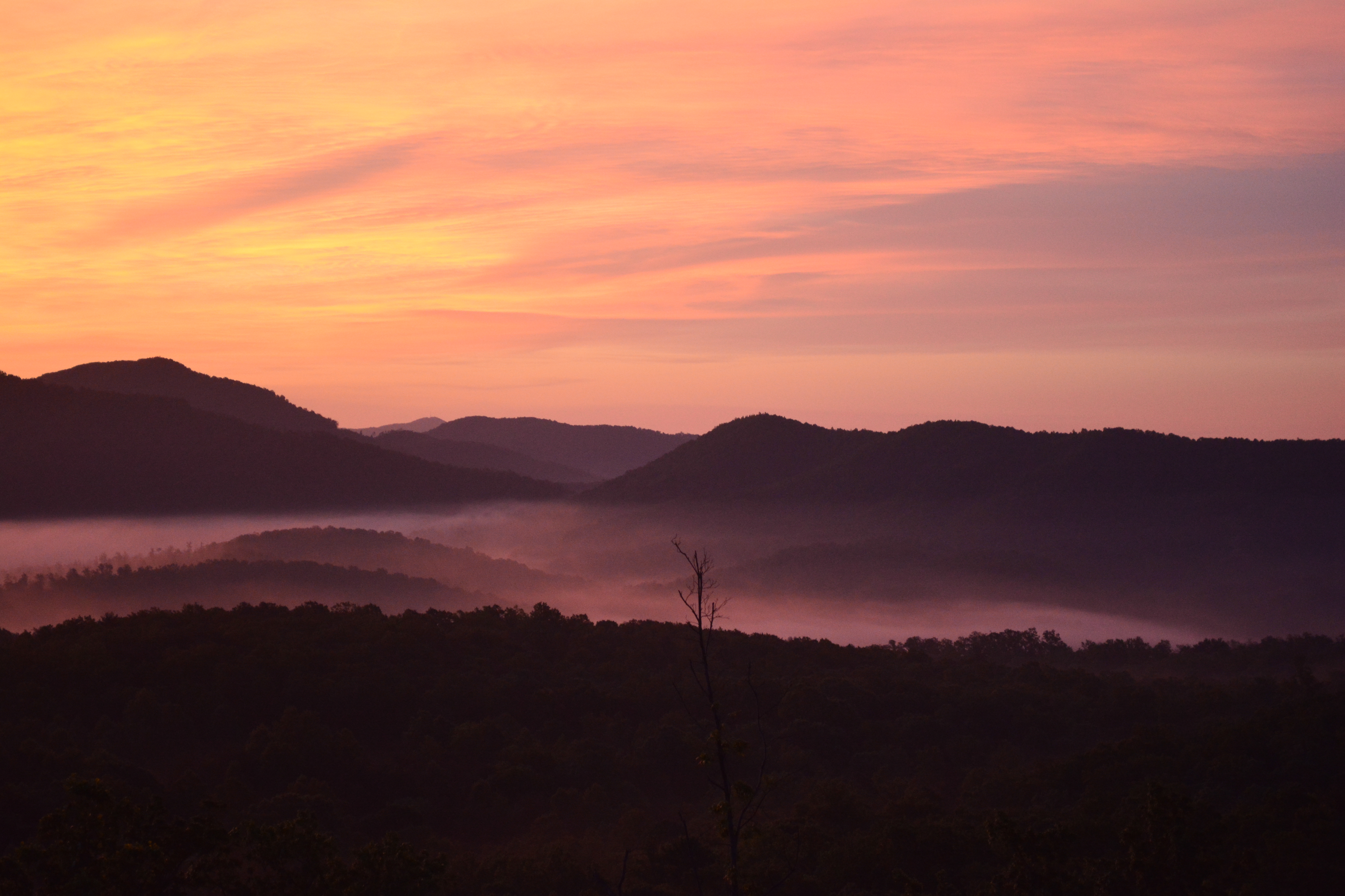
Sunrise at Grandview Peaks
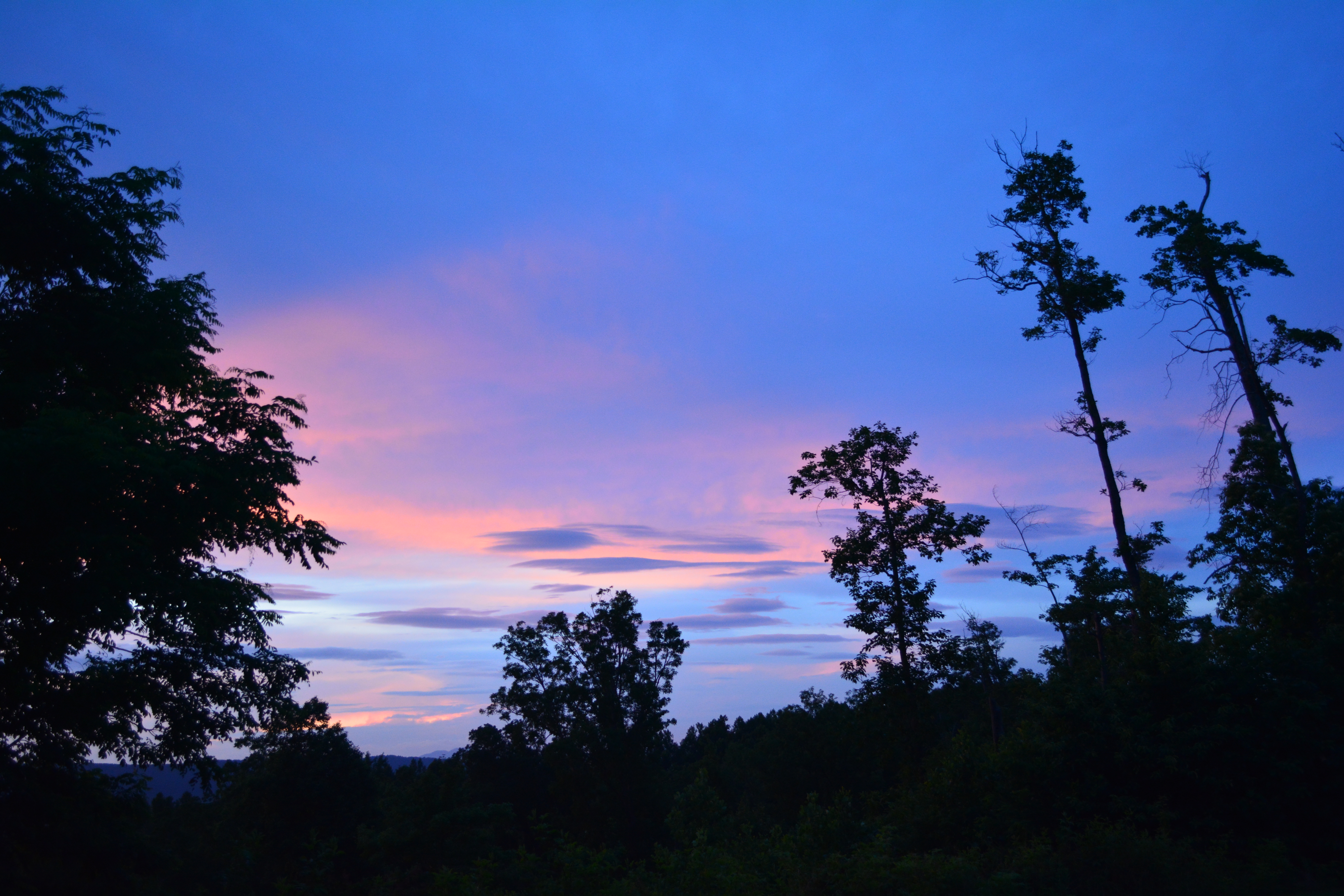
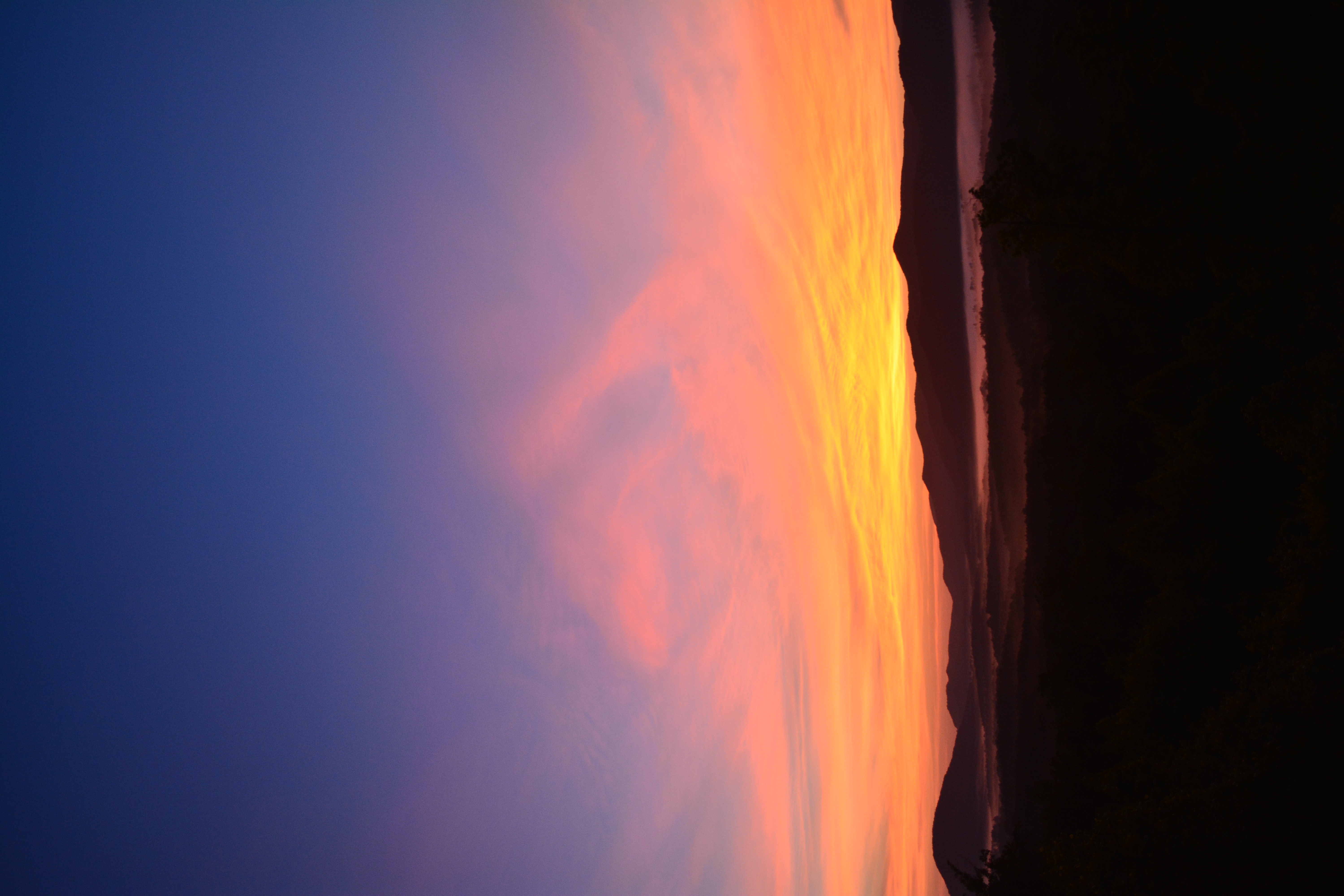
Sunset at Grandview Peaks
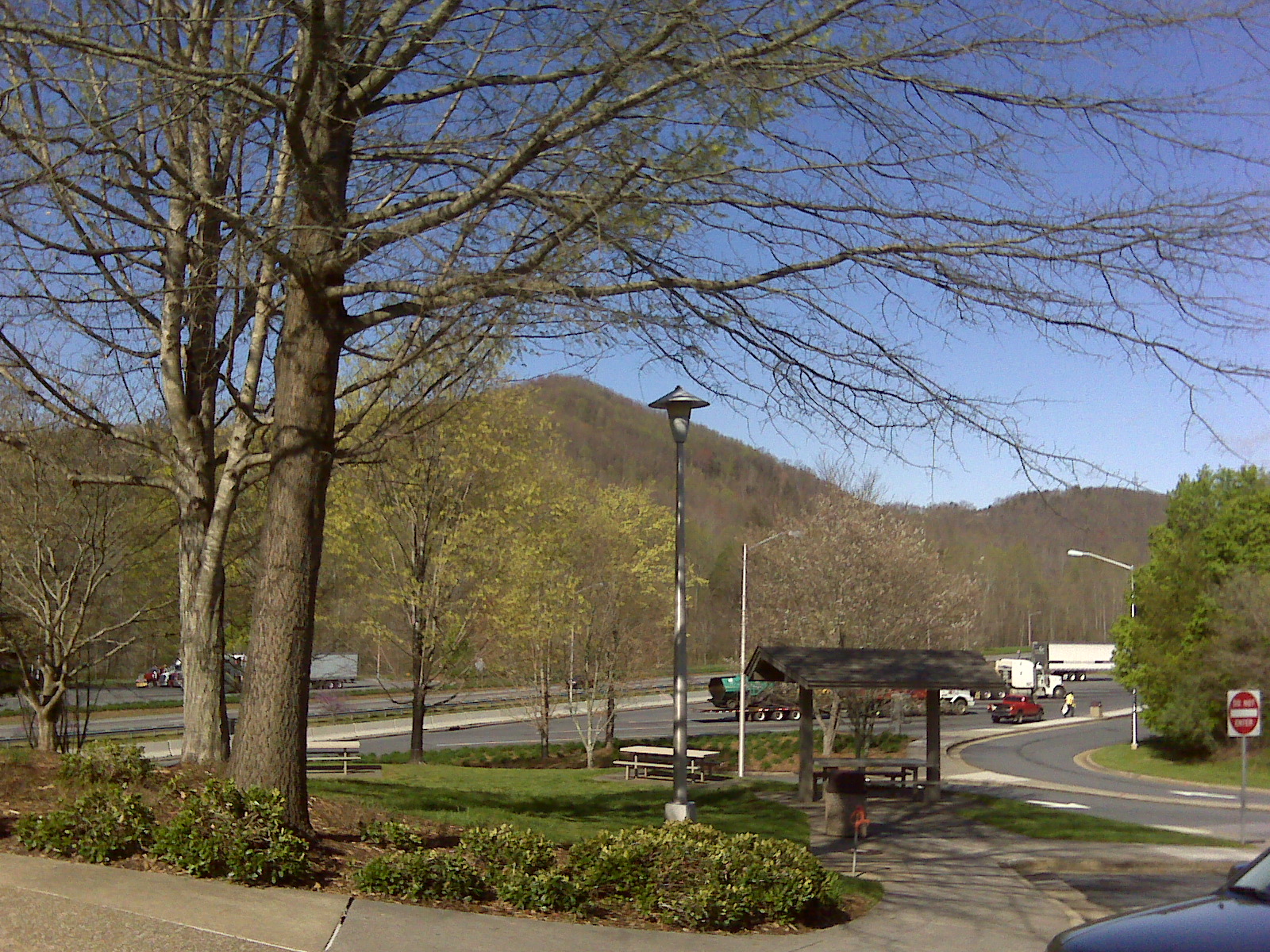
The view from Lari's front window
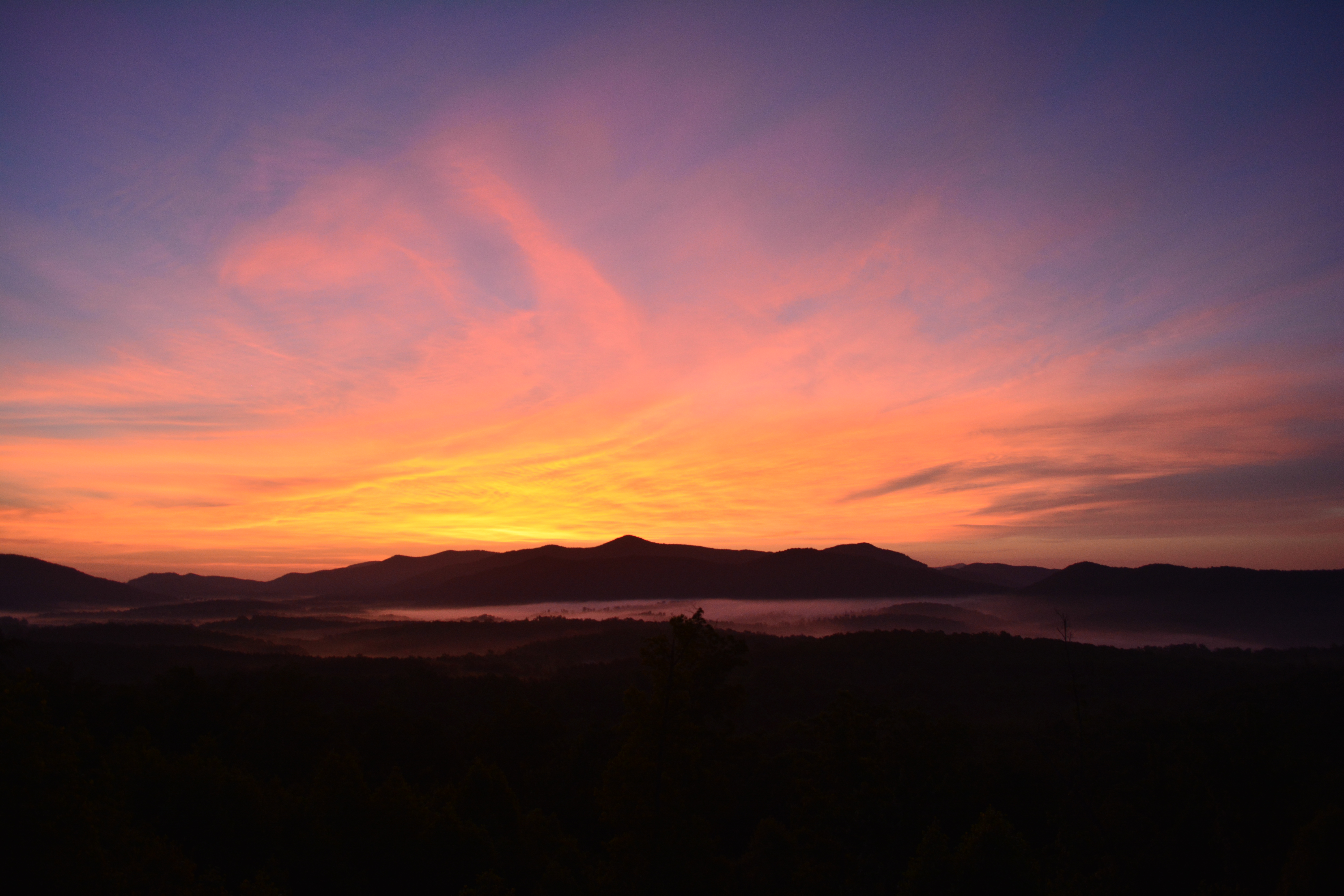
Sunrise at Grandview Peaks
Sunrise 080410

Gypsy Gold
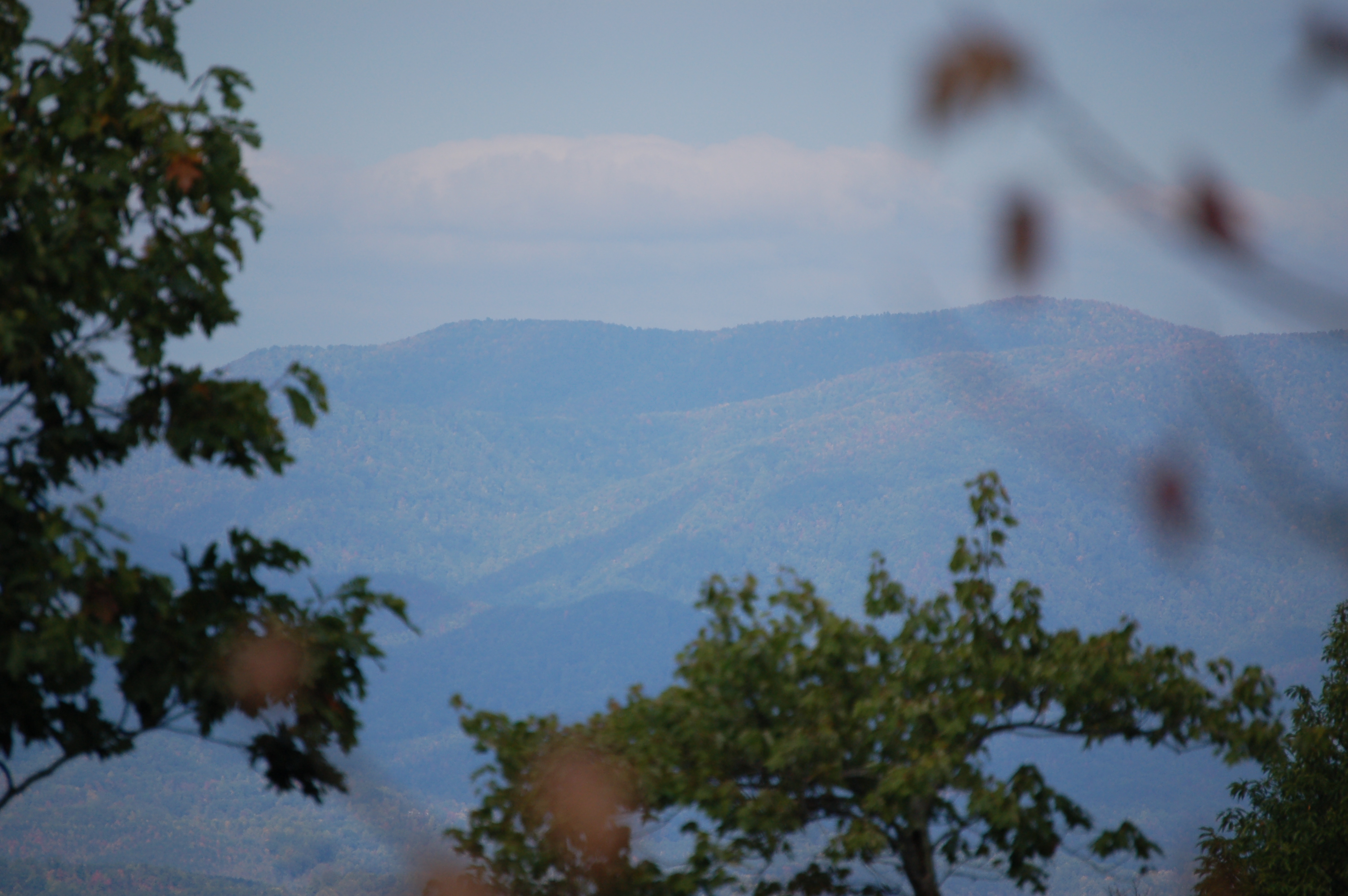
Long view from Gateway Mountain

The view from Lari's porch
Phone Pics #49

If you have to have a tub, the view is acceptable! #Arvotcm #theCarolinaMechanic #love #TagsForLikes.com #TagsForLikesApp #instagood #smile #follow #cute #photooftheday #tbt #followme #TagsForLikes.com #girl #beautiful #happy #picoftheday #instadaily #swa

Not a bad view at all and a fun hike. Base of the waterfall at Chimney Rock.

Lake Tahoma Reflections
View from Gateway Mtn.

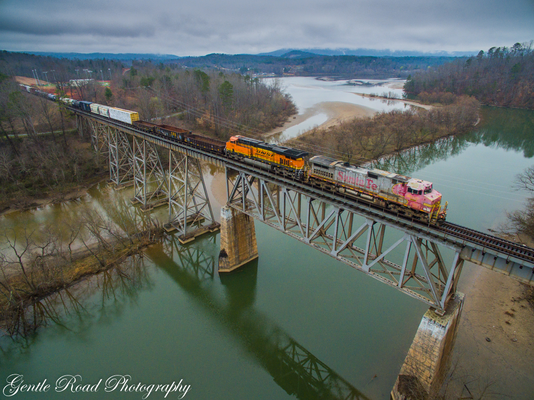
Train Chase [II]
A long way from Albuquerque
Springtime in Old Fort
Double heritage in Old Fort

DSCN0105 (1024x768)
Little House Under the Kudzu
IMG_8895 (1024x768)

Zoned Out

Lake Tahoma

IMG_6508 (1024x768)
IMG_9049 (1024x768)
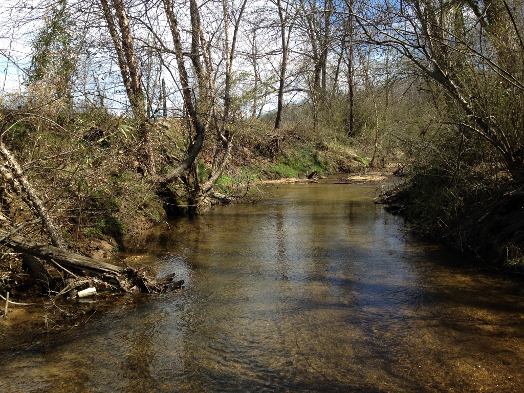
Tree Farm by Crooked Creek

IMG_9041 (1024x768)
Topographic Map of Sugar Hill Rd, Marion, NC, USA
Find elevation by address:

Places near Sugar Hill Rd, Marion, NC, USA:
8593 Sugar Hill Rd
8593 Sugar Hill Rd
149 Watercrest Dr
Montford Cove
Sugar Hill Road
7115 Old Fort Sugar Hill Rd
388 Mount Pleasant Church Rd
364 Shadow Dr
1331 Bethel Church Rd
820 Marler Rd
27 Crossings Dr N
158 Smoky Mountain Dr
146 Crossings Dr S
222 Love Dr
365 Randall Rd
125 Mountain View Dr
584 Apache Path
2160 Zion Hill Rd
117 Southview Dr
370 Wilkerson Way
Recent Searches:
- Elevation of Lampiasi St, Sarasota, FL, USA
- Elevation of Elwyn Dr, Roanoke Rapids, NC, USA
- Elevation of Congressional Dr, Stevensville, MD, USA
- Elevation of Bellview Rd, McLean, VA, USA
- Elevation of Stage Island Rd, Chatham, MA, USA
- Elevation of Shibuya Scramble Crossing, 21 Udagawacho, Shibuya City, Tokyo -, Japan
- Elevation of Jadagoniai, Kaunas District Municipality, Lithuania
- Elevation of Pagonija rock, Kranto 7-oji g. 8"N, Kaunas, Lithuania
- Elevation of Co Rd 87, Jamestown, CO, USA
- Elevation of Tenjo, Cundinamarca, Colombia