Elevation of Zion Hill Rd, Marion, NC, USA
Location: United States > North Carolina > Mcdowell County > Montford Cove >
Longitude: -82.080472
Latitude: 35.6185291
Elevation: 469m / 1539feet
Barometric Pressure: 96KPa
Elevation Map:
Satellite Map:
Related Photos:

Clinchfield Marion Local
Davistown Church Road View
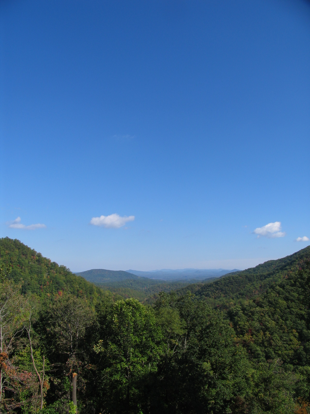
Royal Gorge View

Silvers Welch Road View (IRG)
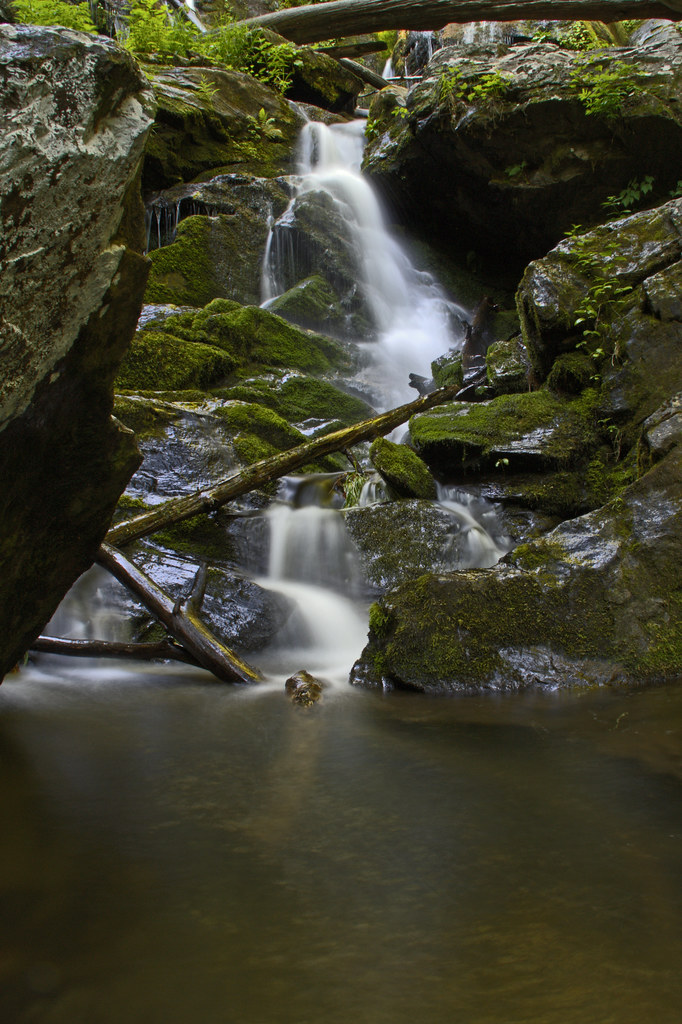
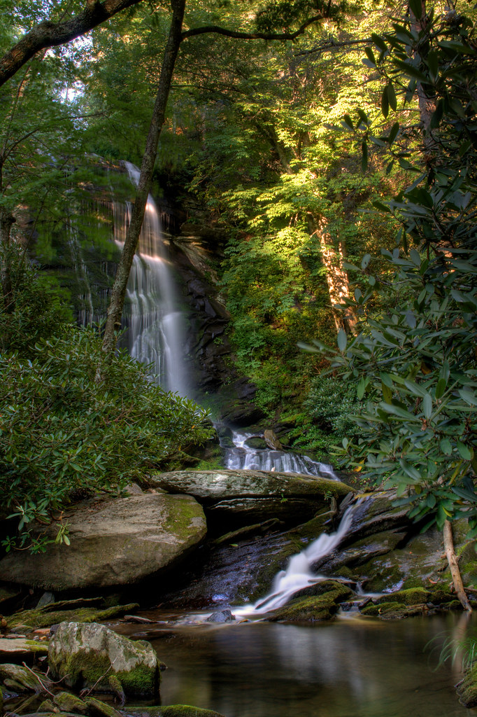
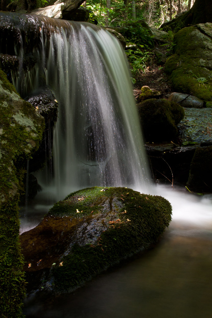
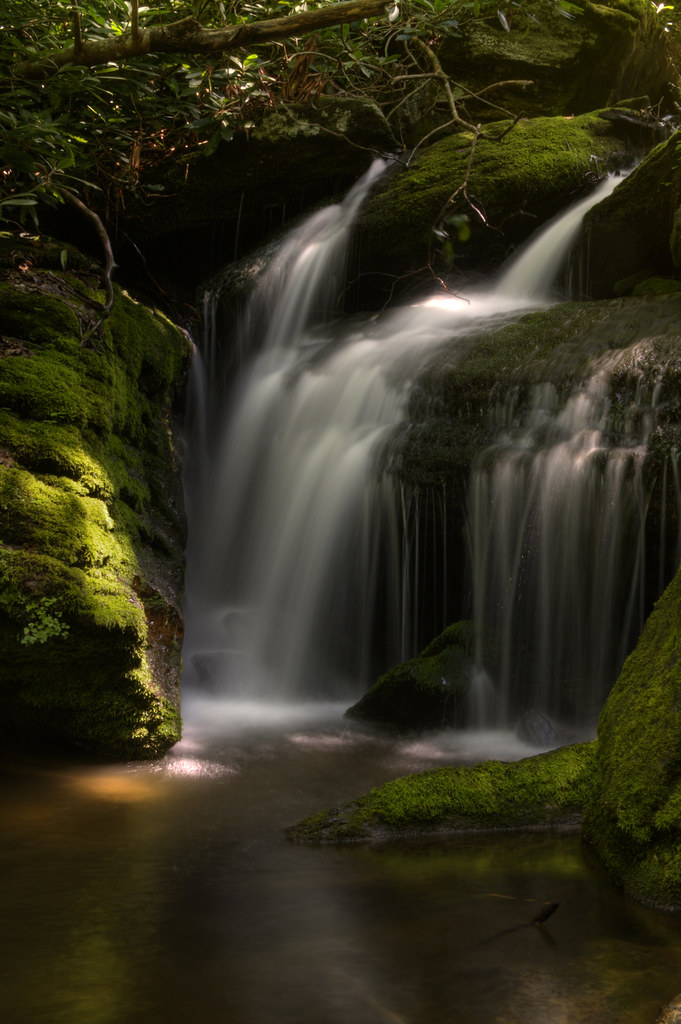
Catawba Falls Cascade
A Perfect Day...

Awesome View of Hawaii from a lagoon! Get Paid to travel there! Ask me how! #workfromanywhere #zyndio #lifestyle #internetmarketer #freedomlifestyle #Arvotcm #theCarolinaMechanic #project1000 #anthonypowell #entrepreneur #life #best #blogger #homebusines
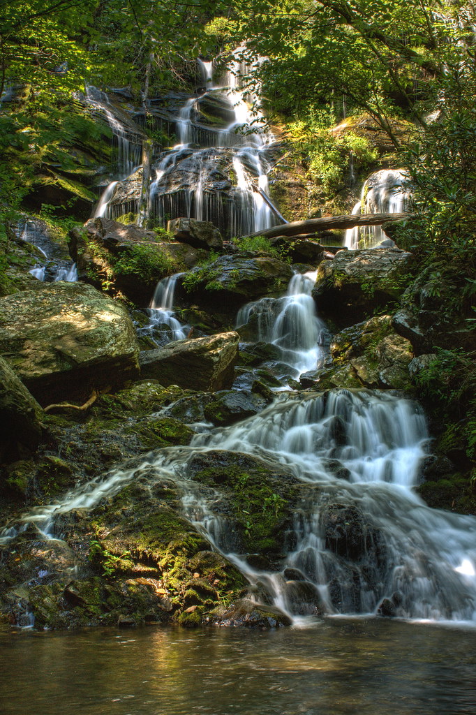
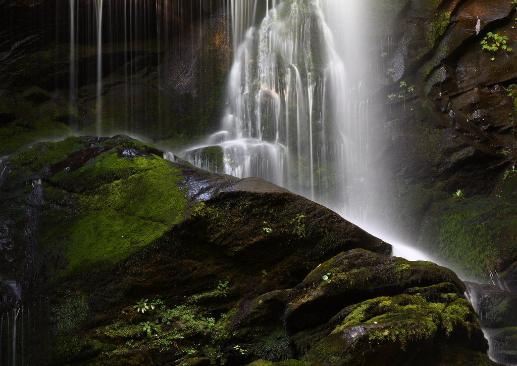
Upper Catawba Falls
The view from Lari's front window
Big Rock and Water

Silvers Welch Road View
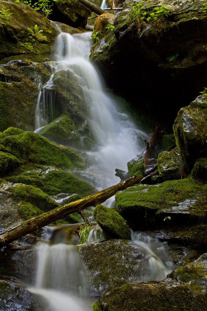
Below the Falls

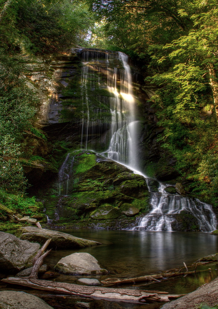
Lower Catawba Falls
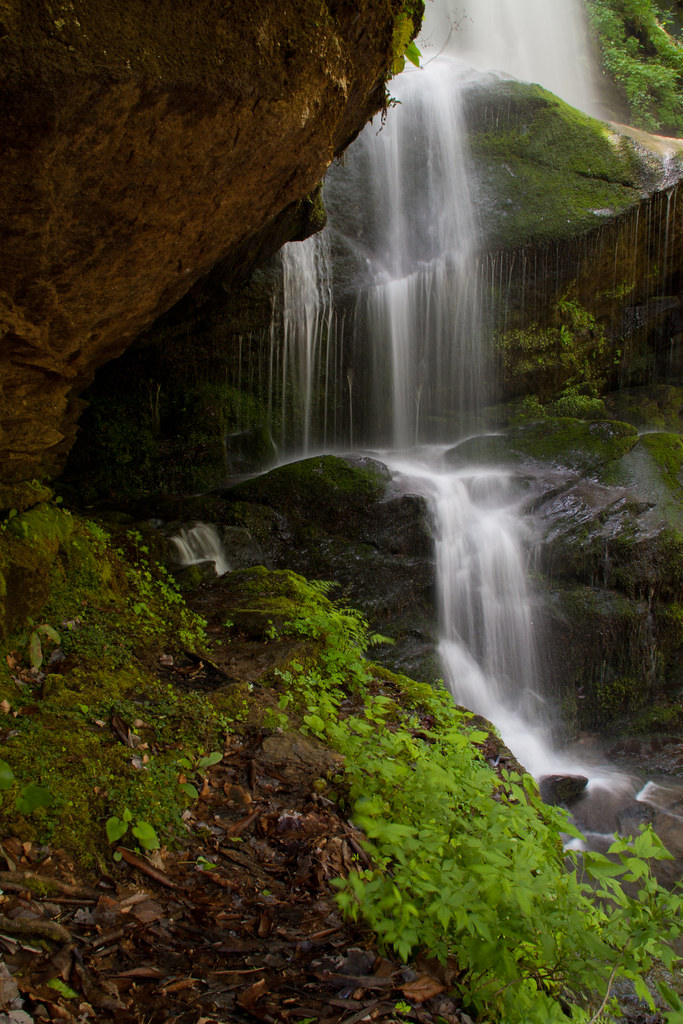
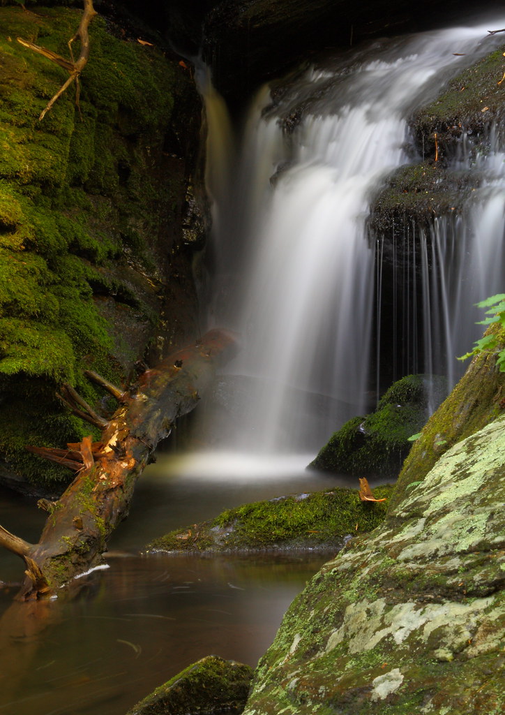
Under the Ledge

Catawba Falls Cascade
Upper Catawba Falls

Another view
Catawba Cascade

Lake Tahoma Reflections
Wet and Wild

Catawba Falls Cascade
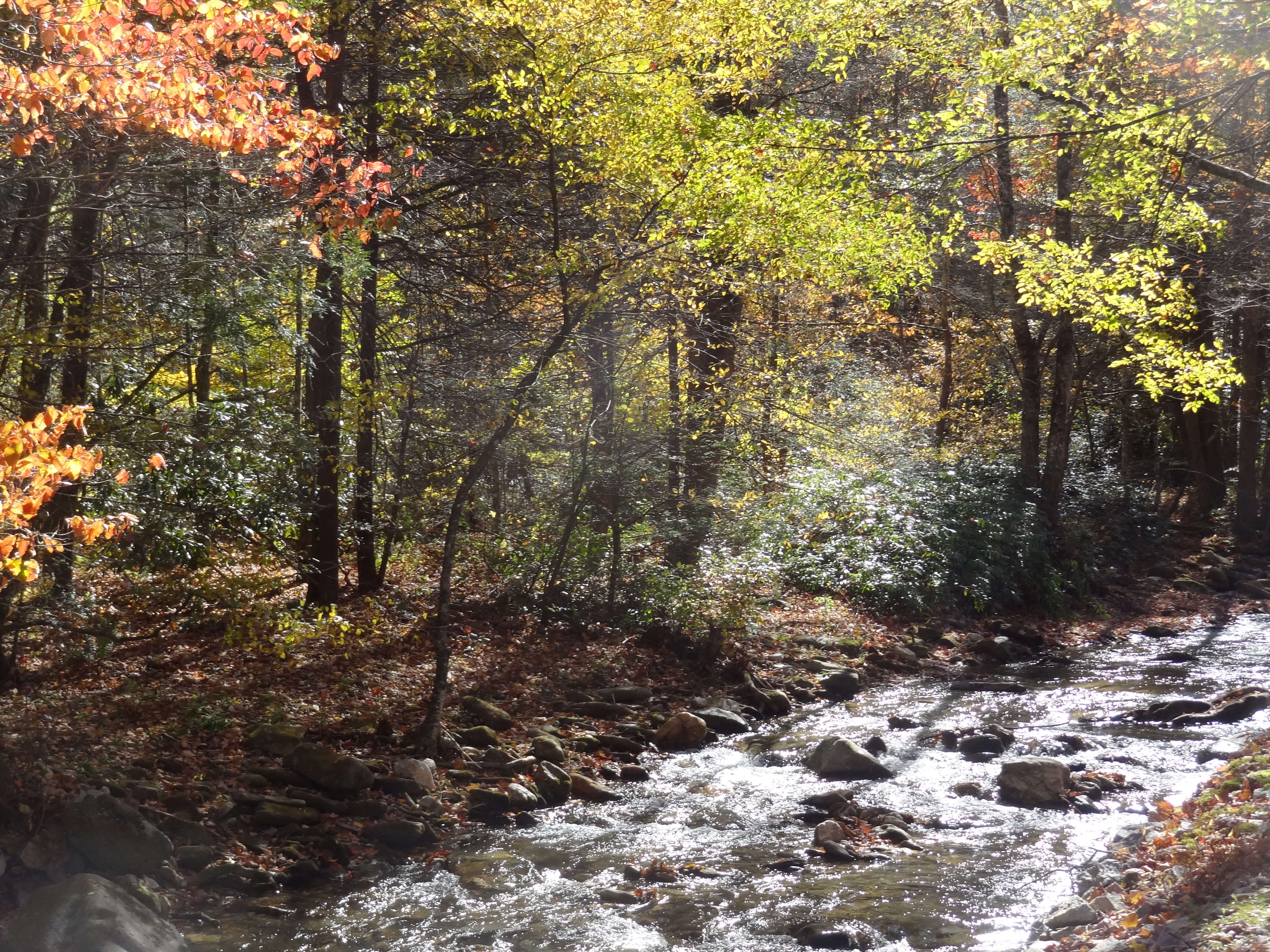
Buck Creek with colorful trees

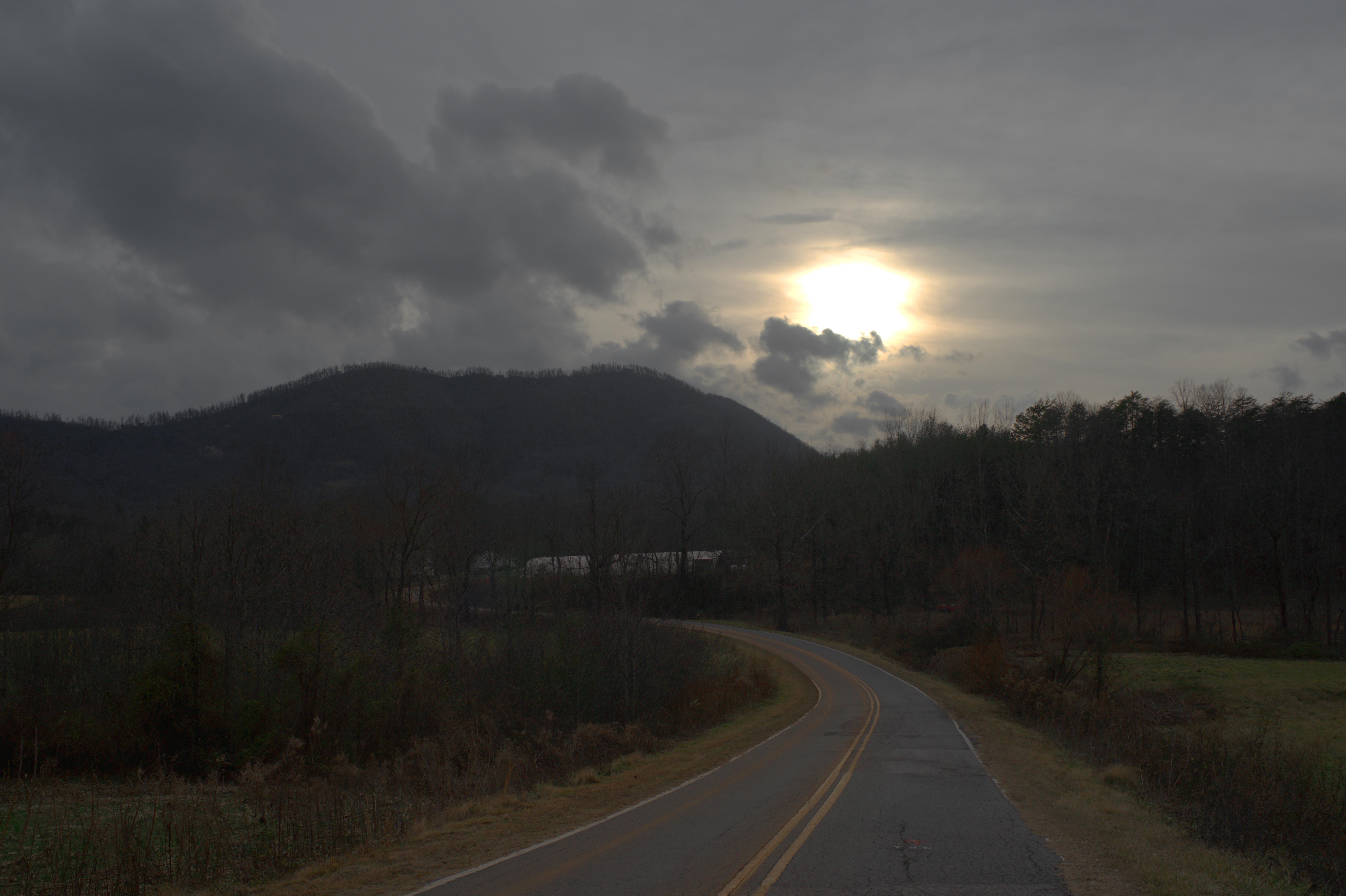
Light Rays Under Cloud
Splish Splasin'

Train Chase [II]

Catawba High
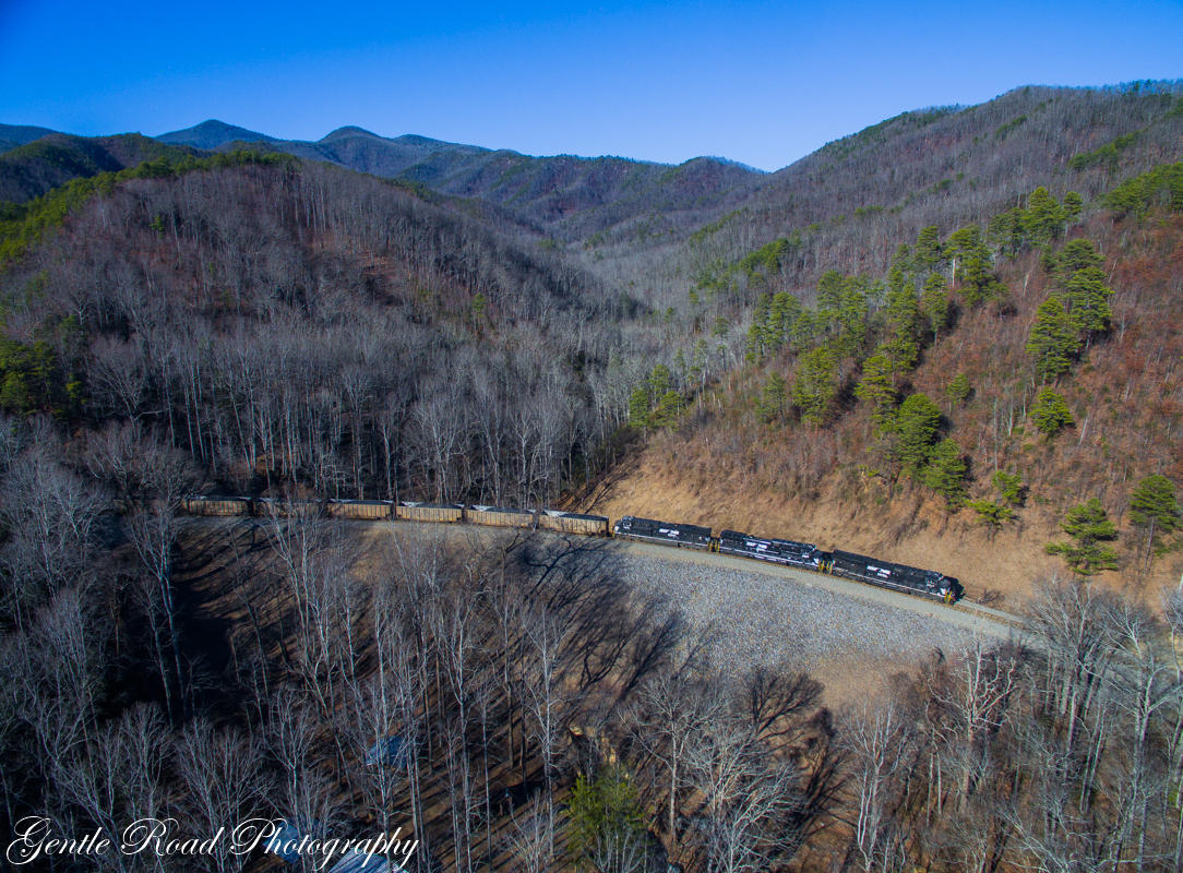
Catawba coal on the loops
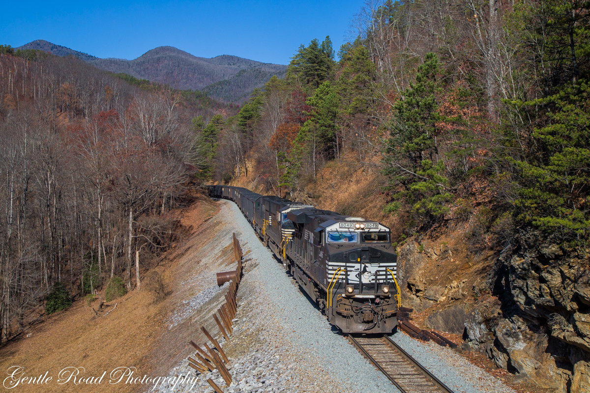
Coal and Carolina blue

DSCN0105 (1024x768)

IMG_6508 (1024x768)
IMG_8895 (1024x768)

IMG_6518 (1024x768)

IMG_6513 (1024x768)
IMG_9049 (1024x768)
IMG_6503 (768x1024)

IMG_9041 (1024x768)
Topographic Map of Zion Hill Rd, Marion, NC, USA
Find elevation by address:

Places near Zion Hill Rd, Marion, NC, USA:
365 Randall Rd
575 W Payne Rd
109 Squirrel Hollow Dr
332 Epley Dr
West Park Drive
820 Marler Rd
771 Zion Hill Rd
7115 Old Fort Sugar Hill Rd
2334 Lytle Mountain Rd
Sugar Hill Road
339 Nix Creek Church Rd
149 Watercrest Dr
469 Denver Ridge Rd
Montford Cove
125 Mountain View Dr
285 Crown Ridge Rd
247 Crown Ridge Rd
446 Henry Mccall Rd
335 Big Bear Blvd
335 Big Bear Blvd
Recent Searches:
- Elevation of 30 Oak Lawn Dr, Barkhamsted, CT, USA
- Elevation of Luther Road, Luther Rd, Auburn, CA, USA
- Elevation of Unnamed Road, Respublika Severnaya Osetiya — Alaniya, Russia
- Elevation of Verkhny Fiagdon, North Ossetia–Alania Republic, Russia
- Elevation of F. Viola Hiway, San Rafael, Bulacan, Philippines
- Elevation of Herbage Dr, Gulfport, MS, USA
- Elevation of Lilac Cir, Haldimand, ON N3W 2G9, Canada
- Elevation of Harrod Branch Road, Harrod Branch Rd, Kentucky, USA
- Elevation of Wyndham Grand Barbados Sam Lords Castle All Inclusive Resort, End of Belair Road, Long Bay, Bridgetown Barbados
- Elevation of Iga Trl, Maggie Valley, NC, USA