Elevation of Pink Hill, NC, USA
Location: United States > North Carolina > Lenoir County >
Longitude: -77.722316
Latitude: 35.0494862
Elevation: 27m / 89feet
Barometric Pressure: 101KPa
Elevation Map:
Satellite Map:
Related Photos:
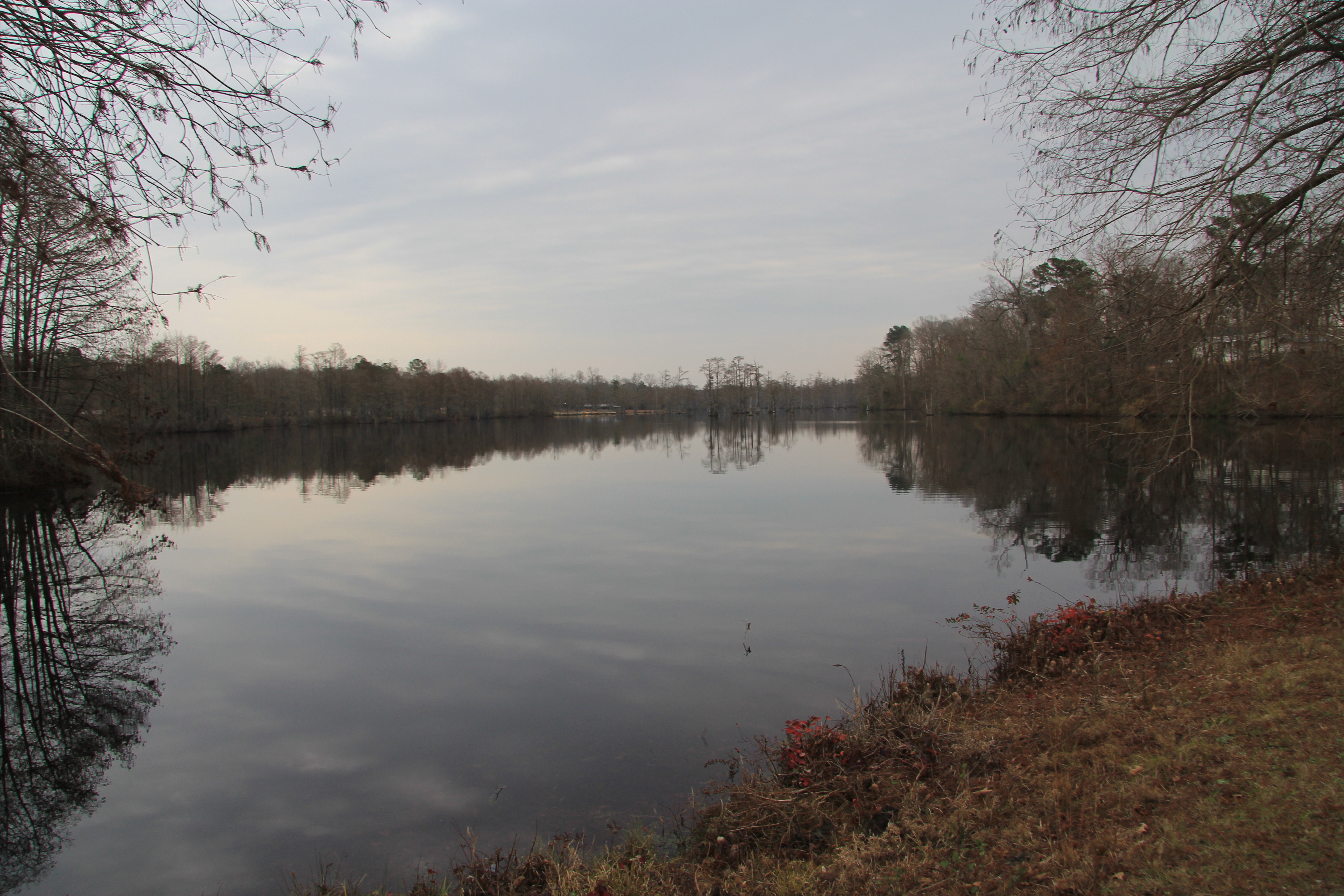
A view of Cabin Lake
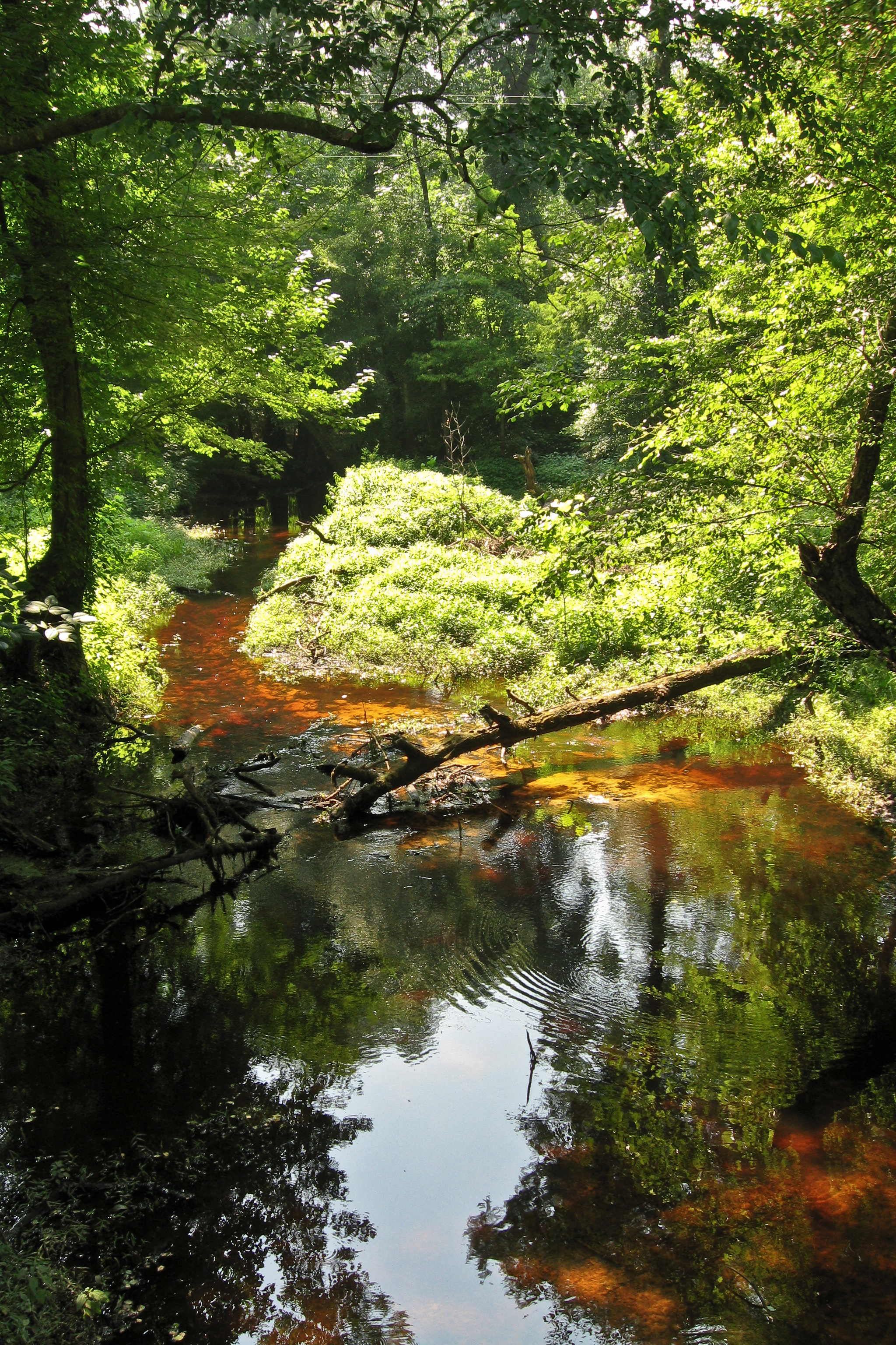
Tuckahoe Creek

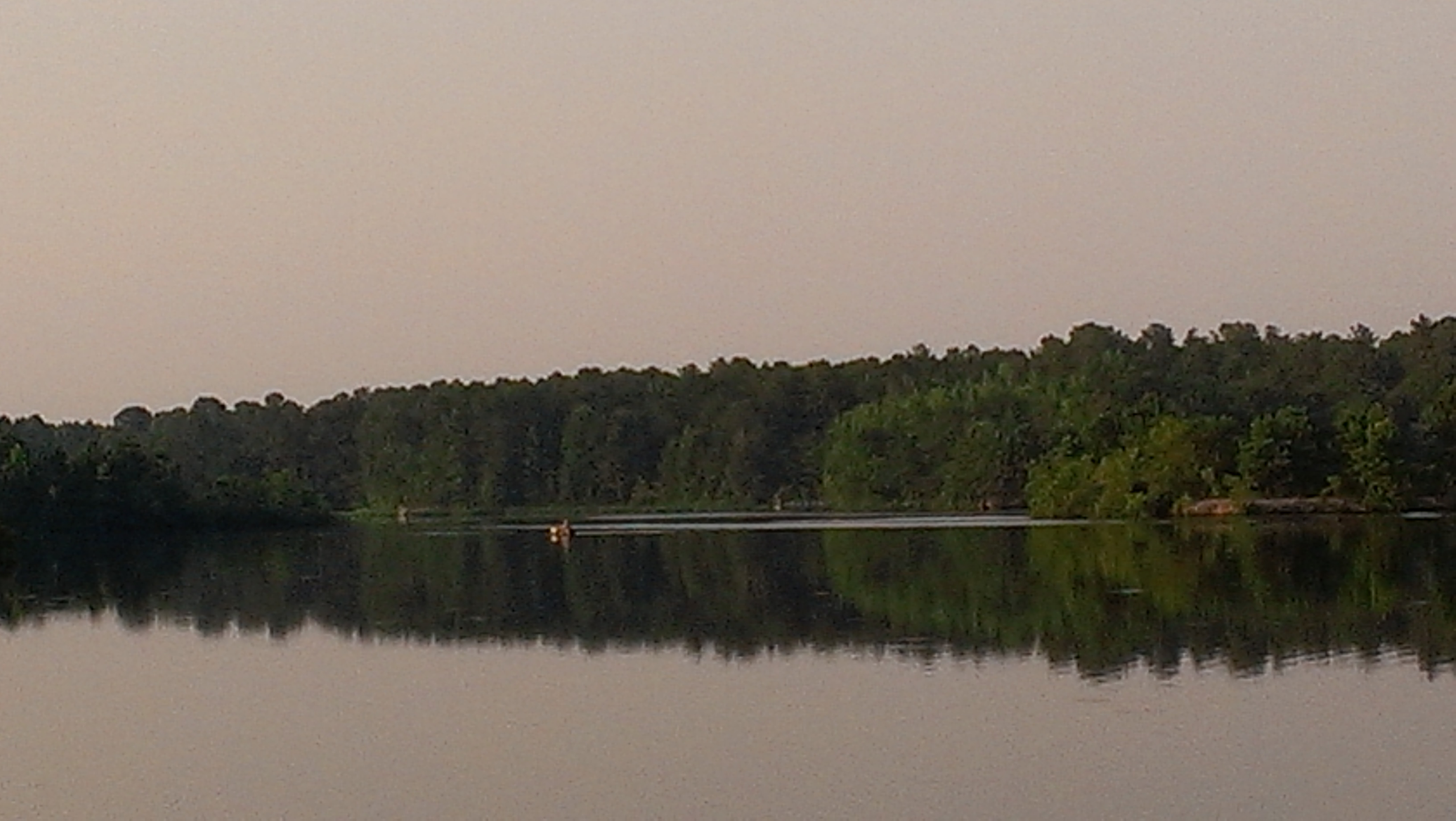
Maxwell's Mill Pond, Pink Hill N.C.
Maxwell's Mill Pond, Pink Hill N.C.

You know you're a photographer when you bust a u-turn to photograph a lone tree in a cotton field

Maxwell's Mill Pond, Pink Hill N.C.

#VSCOcam

Open Floor Plan

Fishing for the first time as...

Familjen Paul
Transportation Division - South Lenoir Correctional institutional

North Carolina, Beulaville Police Department

All me
Topographic Map of Pink Hill, NC, USA
Find elevation by address:

Places in Pink Hill, NC, USA:
Places near Pink Hill, NC, USA:
Pink Hill
W Broadway St, Pink Hill, NC, USA
271 E Pleasant Hill Rd
Old Hwy 11, Deep Run, NC, USA
Albertson
NC-11 S, Albertson, NC, USA
North Carolina 903
1140 Nc-111
Albertson
N Nc Hwy, Albertson, NC, USA
N Blizzard Town Rd, Pink Hill, NC, USA
Limestone
111 W Quinn St
Woodington
Beulaville
829 W Main St
Haw Branch Rd, Richlands, NC, USA
401 Haw Branch Rd
120 Kelsey Landing Dr
127 Roland Batchelor Rd
Recent Searches:
- Elevation of Royal Ontario Museum, Queens Park, Toronto, ON M5S 2C6, Canada
- Elevation of Groblershoop, South Africa
- Elevation of Power Generation Enterprises | Industrial Diesel Generators, Oak Ave, Canyon Country, CA, USA
- Elevation of Chesaw Rd, Oroville, WA, USA
- Elevation of N, Mt Pleasant, UT, USA
- Elevation of 6 Rue Jules Ferry, Beausoleil, France
- Elevation of Sattva Horizon, 4JC6+G9P, Vinayak Nagar, Kattigenahalli, Bengaluru, Karnataka, India
- Elevation of Great Brook Sports, Gold Star Hwy, Groton, CT, USA
- Elevation of 10 Mountain Laurels Dr, Nashua, NH, USA
- Elevation of 16 Gilboa Ln, Nashua, NH, USA