Elevation of N Blizzard Town Rd, Pink Hill, NC, USA
Location: United States > North Carolina > Duplin County >
Longitude: -77.80283
Latitude: 34.964098
Elevation: 27m / 89feet
Barometric Pressure: 101KPa
Elevation Map:
Satellite Map:
Related Photos:
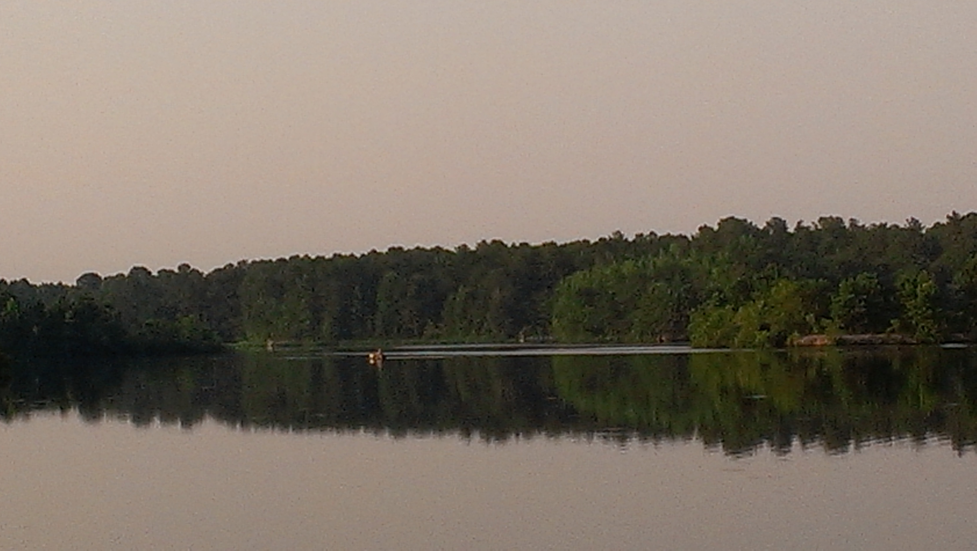
A view of Cabin Lake

Sunrise 060217

Duplin County Courthouse, Kenansville NC
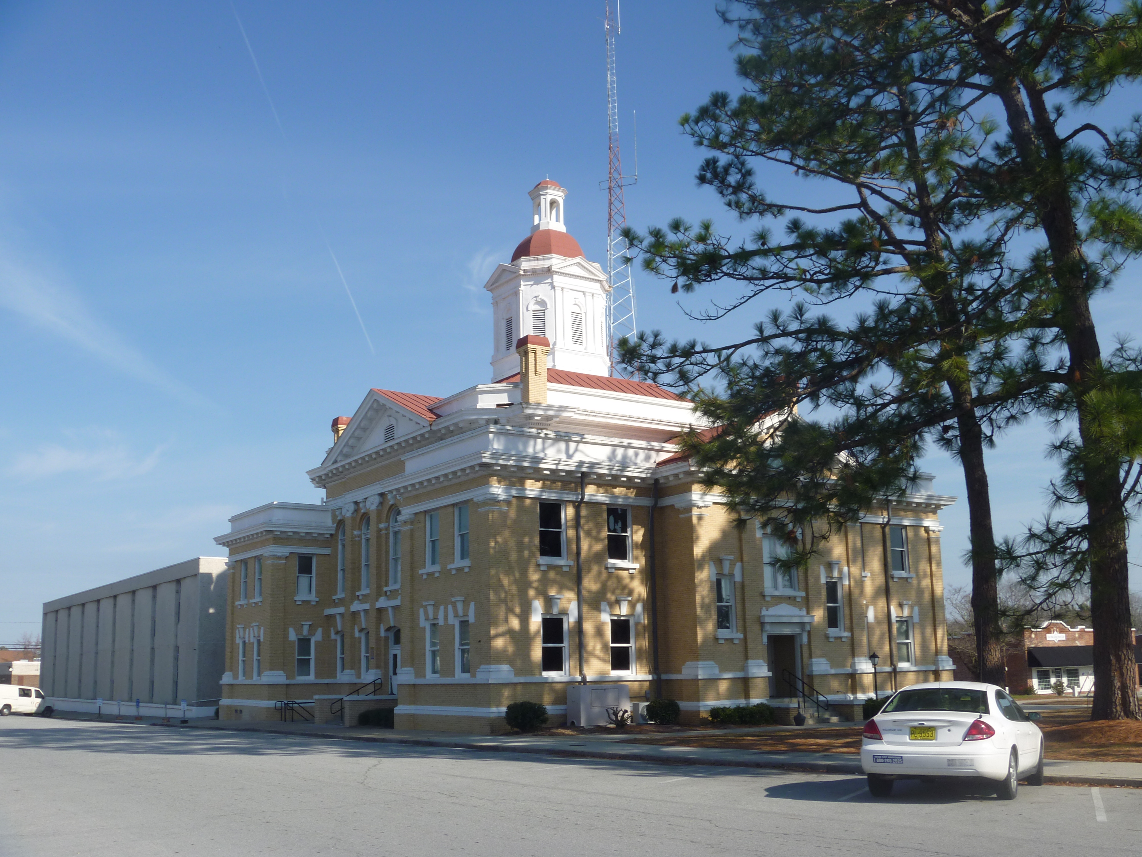
Duplin County Courthouse, Kenansville NC

Front View Of Duplin County Courthouse, Kenansville NC

Top Side Rear View Of Duplin County Courthouse

Front View, Duplin County Courthouse

Maxwell's Mill Pond, Pink Hill N.C.
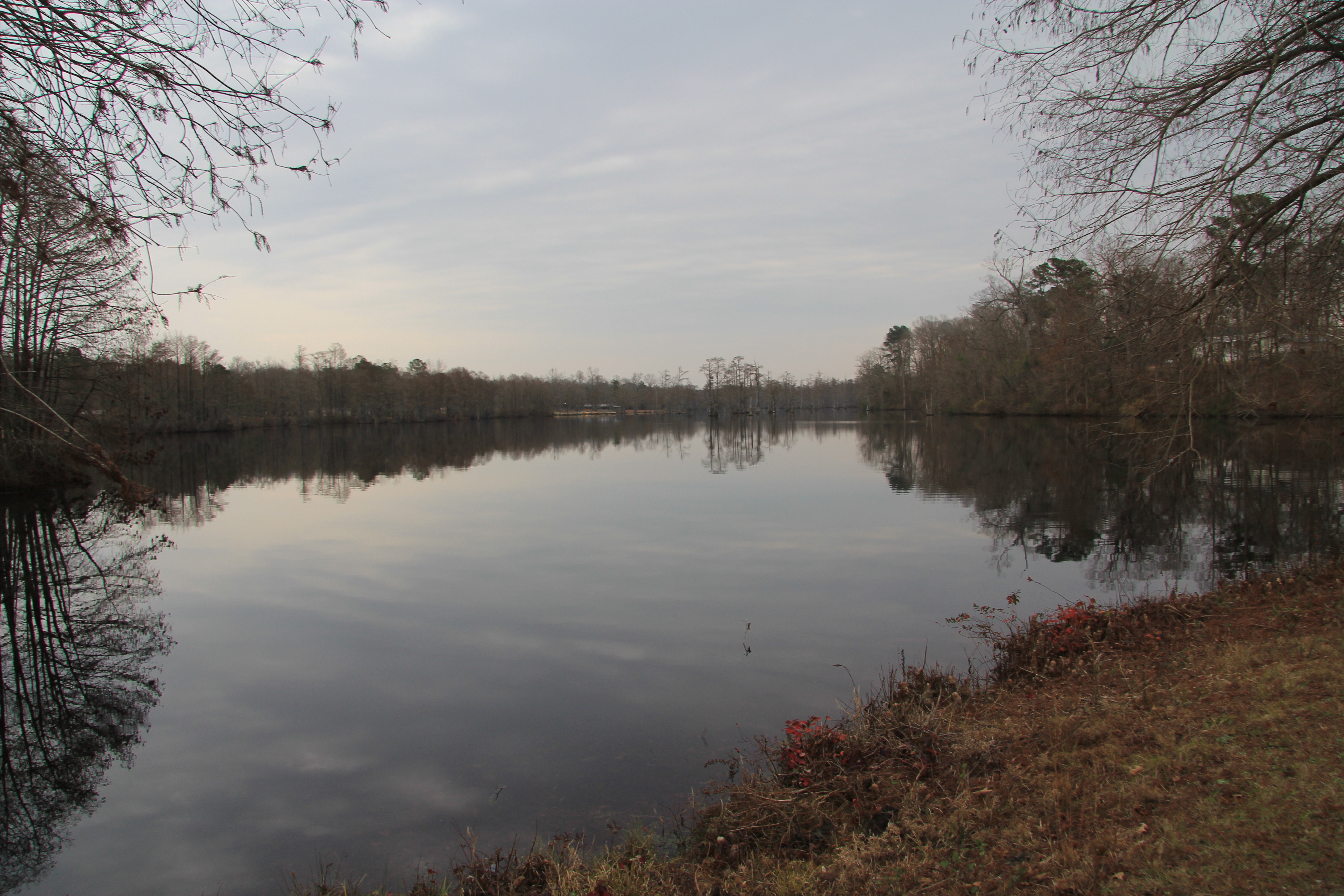
Maxwell's Mill Pond, Pink Hill N.C.

You know you're a photographer when you bust a u-turn to photograph a lone tree in a cotton field

Maxwell's Mill Pond, Pink Hill N.C.

Kenan Park, Kenansville, NC
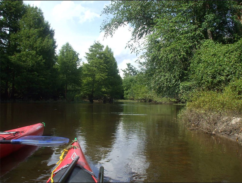
NE Creek

Highway 24 Jacksonville, NC
Topographic Map of N Blizzard Town Rd, Pink Hill, NC, USA
Find elevation by address:

Places near N Blizzard Town Rd, Pink Hill, NC, USA:
1140 Nc-111
829 W Main St
111 W Quinn St
876 Hallsville Rd
Beulaville
120 Kelsey Landing Dr
127 Roland Batchelor Rd
S Nc 41 Hwy, Beulaville, NC, USA
599 Durwood Evans Rd
Limestone
820 Lyman Rd
817 Lyman Rd
2508 Nc-50
2832 Nc-41
Chinquapin
Canal Street
Kenansville
S North Carolina 50 Hwy, Chinquapin, NC, USA
Kenansville
406 S Main St
Recent Searches:
- Elevation of Congressional Dr, Stevensville, MD, USA
- Elevation of Bellview Rd, McLean, VA, USA
- Elevation of Stage Island Rd, Chatham, MA, USA
- Elevation of Shibuya Scramble Crossing, 21 Udagawacho, Shibuya City, Tokyo -, Japan
- Elevation of Jadagoniai, Kaunas District Municipality, Lithuania
- Elevation of Pagonija rock, Kranto 7-oji g. 8"N, Kaunas, Lithuania
- Elevation of Co Rd 87, Jamestown, CO, USA
- Elevation of Tenjo, Cundinamarca, Colombia
- Elevation of Côte-des-Neiges, Montreal, QC H4A 3J6, Canada
- Elevation of Bobcat Dr, Helena, MT, USA