Elevation of S North Carolina 50 Hwy, Chinquapin, NC, USA
Location: United States > North Carolina > Duplin County > Cypress Creek > Chinquapin >
Longitude: -77.787963
Latitude: 34.805814
Elevation: 19m / 62feet
Barometric Pressure: 101KPa
Elevation Map:
Satellite Map:
Related Photos:

mad boar

Duplin County Cavenaugh Cemetary

"Milly, what color's the sky?" "It's pink and sissy blue."

You know you're a photographer when you bust a u-turn to photograph a lone tree in a cotton field
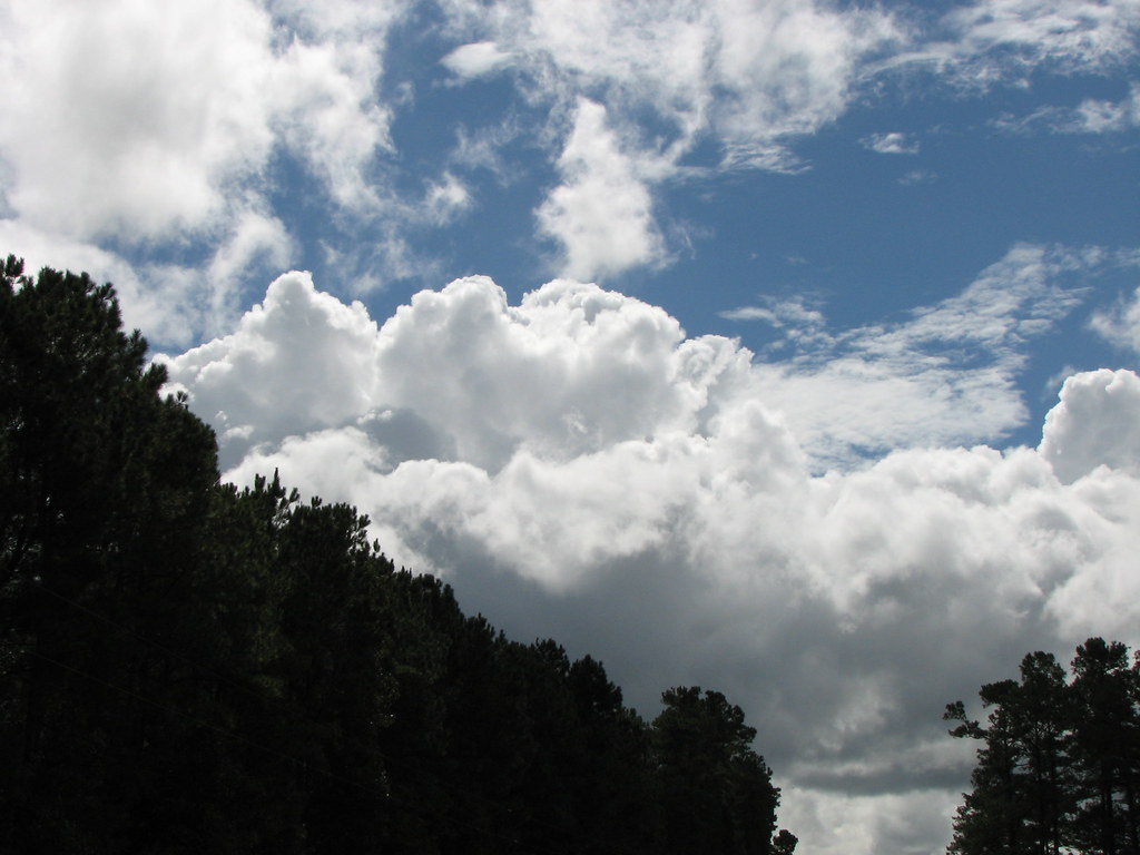
I Love Carolina Skies

River landing

Main Rig

Music is LOVE

The LQQK

Fishing for the first time as...

North Carolina, Beulaville Police Department

GETTING MARRIED STINKS

Will u marry me?

OPPS I drop YOUR ring

LOCKED IN LOVE

Over North Carolina

Dying eggs with family and friends.

Horse seesaw at GG's park.

My Young Mother (Just Married)
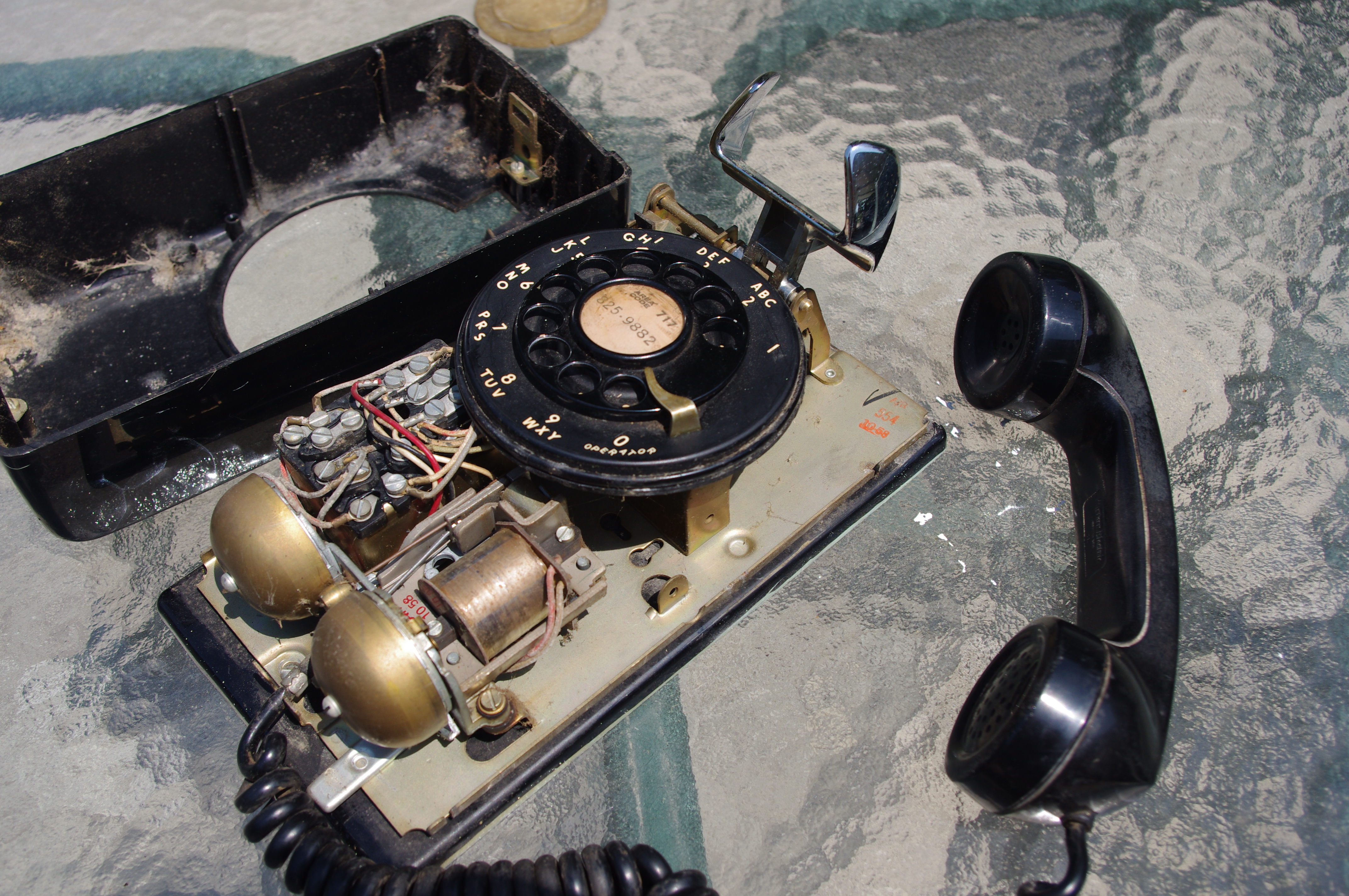
Western Electric 554
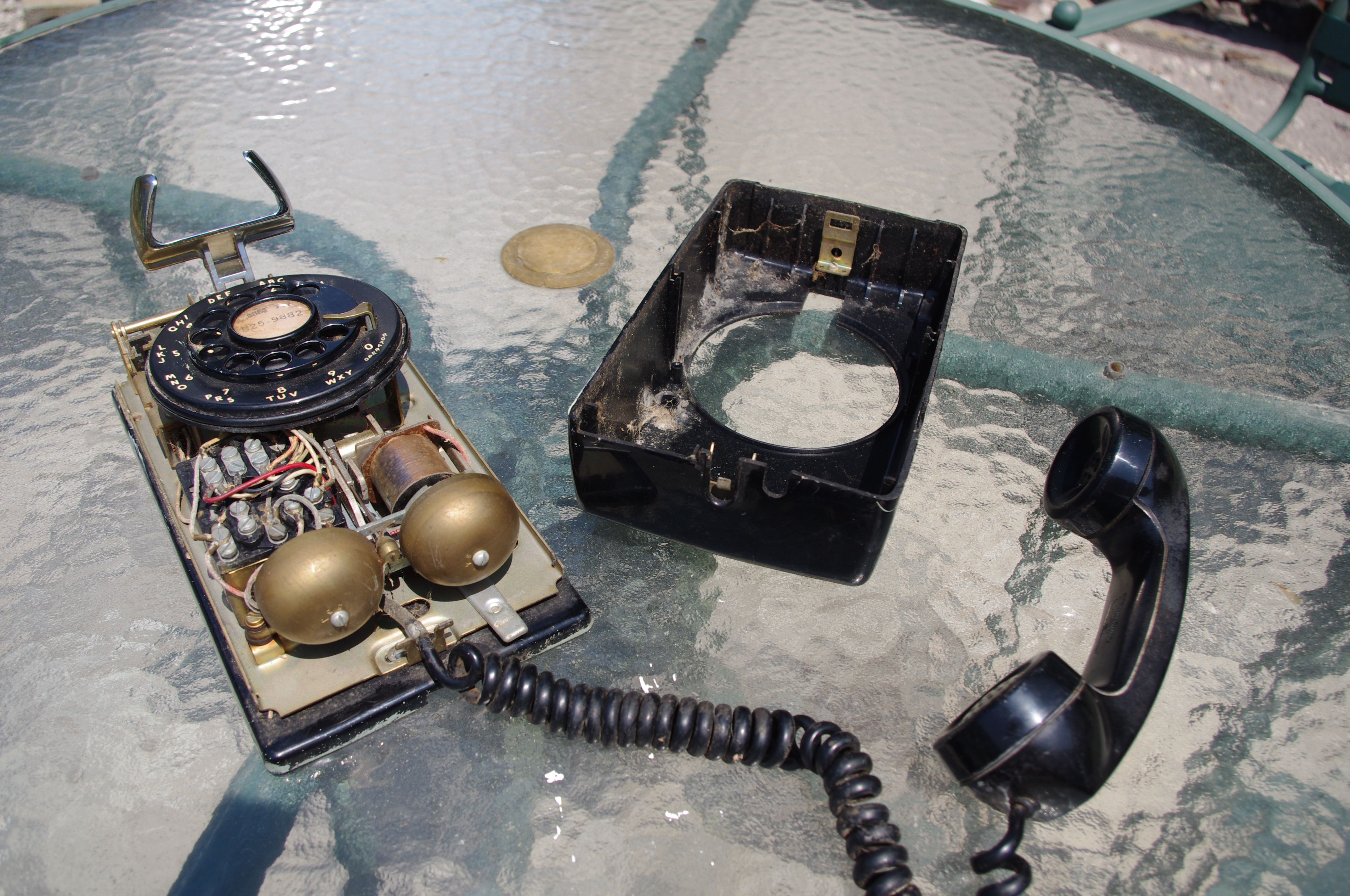
Western Electric 554

Western Electric 554
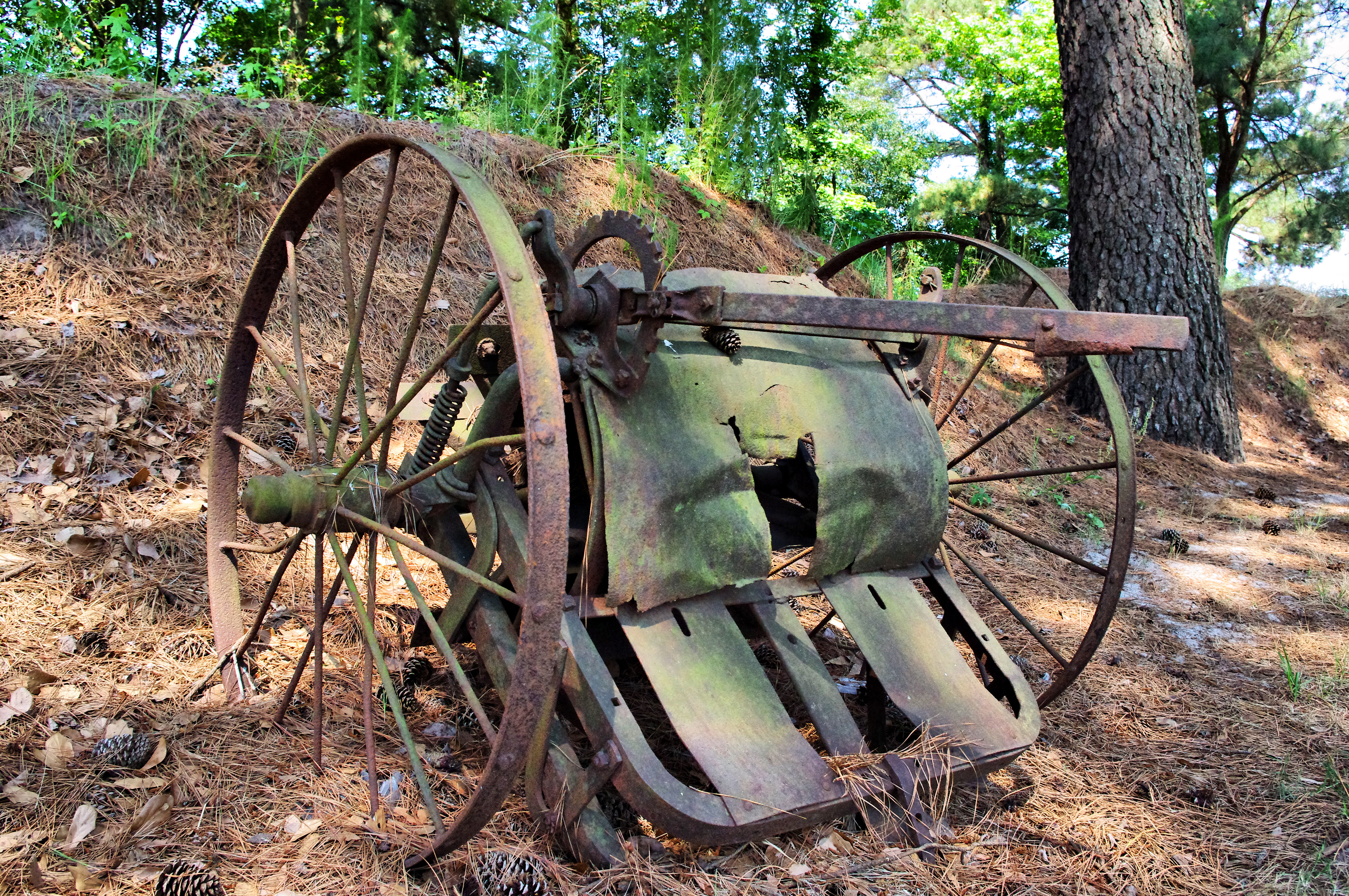
Rusted thing
Topographic Map of S North Carolina 50 Hwy, Chinquapin, NC, USA
Find elevation by address:

Places near S North Carolina 50 Hwy, Chinquapin, NC, USA:
Chinquapin
2832 Nc-41
S Nc 41 Hwy, Beulaville, NC, USA
599 Durwood Evans Rd
127 Roland Batchelor Rd
817 Lyman Rd
820 Lyman Rd
120 Kelsey Landing Dr
876 Hallsville Rd
Island Creek
Beulaville
829 W Main St
111 W Quinn St
2508 Nc-50
Limestone
373 Teachey Loop Rd
373 Teachey Loop Rd
376 Teachey Loop Rd
196 Teachey Loop Rd
2840 Nc-11 S
Recent Searches:
- Elevation of Congressional Dr, Stevensville, MD, USA
- Elevation of Bellview Rd, McLean, VA, USA
- Elevation of Stage Island Rd, Chatham, MA, USA
- Elevation of Shibuya Scramble Crossing, 21 Udagawacho, Shibuya City, Tokyo -, Japan
- Elevation of Jadagoniai, Kaunas District Municipality, Lithuania
- Elevation of Pagonija rock, Kranto 7-oji g. 8"N, Kaunas, Lithuania
- Elevation of Co Rd 87, Jamestown, CO, USA
- Elevation of Tenjo, Cundinamarca, Colombia
- Elevation of Côte-des-Neiges, Montreal, QC H4A 3J6, Canada
- Elevation of Bobcat Dr, Helena, MT, USA