Elevation of Pine Valley, CA, USA
Location: United States > California > San Diego County >

Longitude: -116.52918

Latitude: 32.8214402

Elevation: 1141m / 3743feet

Barometric Pressure: 88KPa

Elevation Map:

elevation map of Pine Valley, CA, USA
Satellite Map:

Satellite map of Pine Valley, CA, USA
Related Photos:

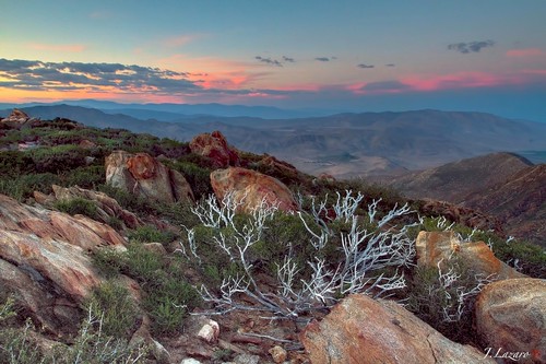
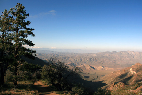
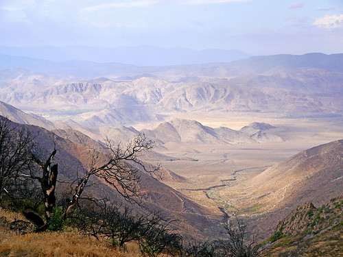
The Anza Borrego Desert View ⓒ
portfolio bec onblack takeabow themoulinrouge wildoats naturesfinest avenafatua fineartphotos mywinners anawesomeshot excellentphotographerawards theunforgettablepictures theperfectphotographer natureselegantshots beautifulsecrets
Wild Oats
sunrise desert mtlaguna desertviewpicnicgrounds 100xthe2014edition 100x2014 image1100
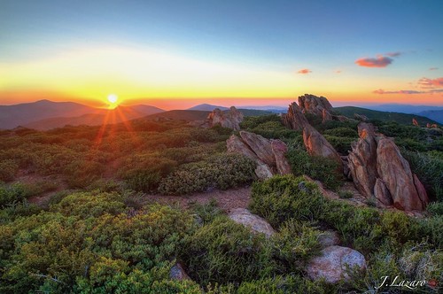
1/100 First day sunrise...
sky mountains nature night way stars nikon space tokina astronomy milky f28 milkyway observing 1116mm d300s atxpro116 skynoir yahoo:yourpictures=space
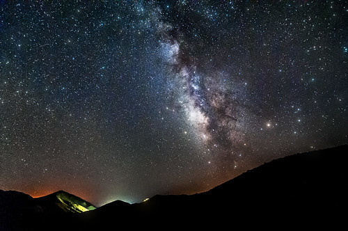
Mountain Top Milky Way
webcam mountlaguna eastview mtlaguna hpwren
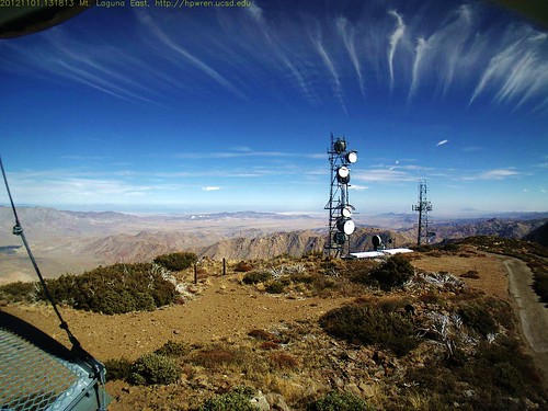
Departure of Halowe'en Spirits from Mt. Laguna
sandiegocounty robertsranch
Roso's First Trail
california flowers foothills mountains nature yellow outdoors gold spring desert socal wildflowers exploration discovery sandiegocounty goldfields clevelandnationalforest goldierocks zoniedude1 lastheniagracilis canonpowershotg11 earthnaturelife desertspring2012
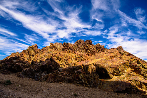
Goldie Rocks
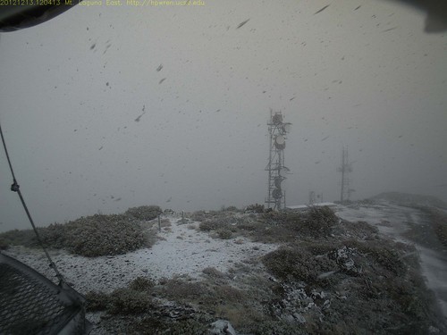
snow weather snowfall hpwren
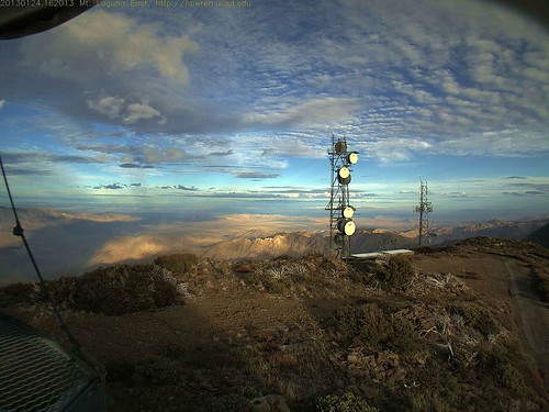
Mt Laguna east view during a snowfall
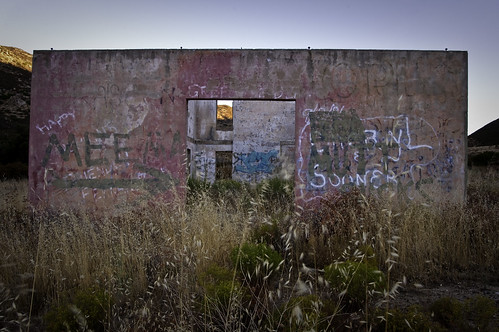
california morning southwest water ruins grafitti week36 daybreak sandiegocounty buckmansprings 525of2010 themeviewthrough
Light in the Window
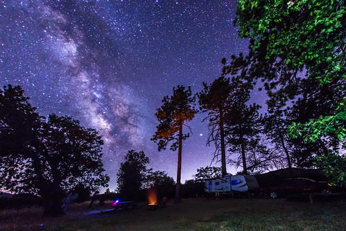
california camping us julian unitedstates trailer rv camper campsite milkyway californiastateparks pasopicacho
Camping under the Milky Way in Cuyamaca Rancho State Park
california ca landscape san mt diego mount laguna onlythebestare
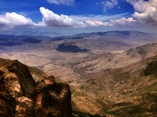
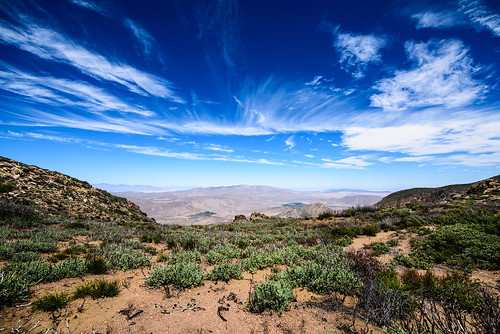
View of the desert from Mount Laguna
mountain clouds rural sunrise observation webcam peak backcountry southerncalifornia lospinos daybreak ucsd thunderhead firelookout wildland barretlake weathercam easternview 360degreecoverage universityofcaliforniaatsandiego weathercamera hpwren morenalake campocalifornia easternsandiegocounty hpwreniqeye 32734458116577601
Los Pinos Peak East view of 'Thunderheads' at sunrise
mountains anzaborregodesert sandiegocountycalifornia hpwren mountlagunanorthview picmonkeyeditclone
Mount Laguna sunrise view
sky rain weather sunrise landscape webcam timelapse rainbow lookout vista backcountry remote ucsd mountlaguna northview anzaborregodesert monumentpeak 360degreeview lagunamountains sunrisehighway motiondetection desertpanorama sandiegocountycalifornia hpwren 1352384051jpg 113012updatedgps328917321167541164225268364 mtlagunanorthview elevation6300ft flickrmaplocation3289232611642066 extremesoutherncalifornia backbonesite
Fleeting moment 08-Nov-2012 06:14 AM PST
hpwrensdsueduwebcammountlagunanorthviewmonumentpeakchariotfirejuly 2013sandiegocounty californiawildlandforestmountainsdevastationanzaborrefodesert
Chariot Fire aerial firefighting 08-July-2013 1529 (3:29 PM) 20130708-1
camping campo 2010 lakemorena august10 summer10 iphonepic hipstamatic
view upon waking
webcam mountlaguna eastview hpwren 32880506 116419694
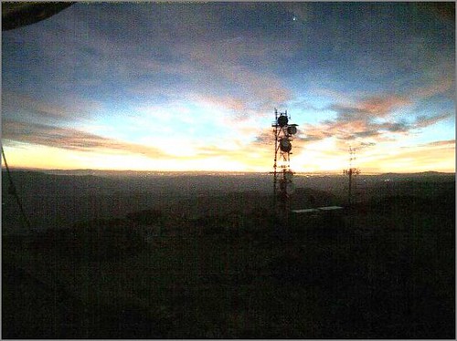
Mt Laguna Sunrise - hpwren - East 10-4-12
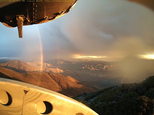
webcam rainbow mountlaguna eastview hpwren 32880506116419694 hpwrenucsdedu
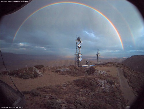
Mt Laguna Rainbow
sunset desert backcountry anzaborrego mountlaguna sunrisehighway sandiegocountycalifornia hpwren californiawebcamucsd
Sunset on the Anza-Borrego
mountain lake julian view sandiego hike trail cuyamaca stonewallpeak cuyamacaranchostatepark cuyamacalake stonewalltrail
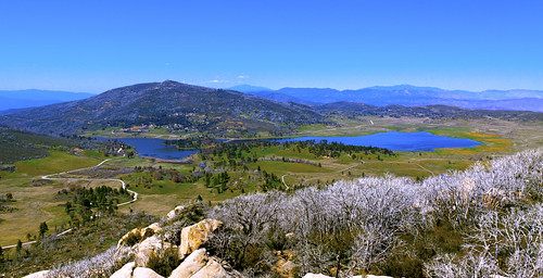
Lake Cuyamaca from Stone Wall Peak
california light desert beautifulview desertview californiadesert thunderstorms mountlaguna 2013 desertoverlook chariotfire 2013wildlandfire
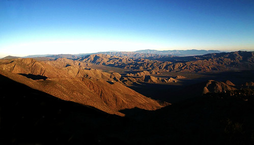
Desert Overlook
De Anza Borrego Desert, Ca. ⓒ
california camera light sky moon tree canon landscape glow space ngc astro luna telescope astrophotography stunning astronomy lunar geographic nations descanso seo stargazing astronomer widefield stellarvue 60d excapture supermoon sv105t
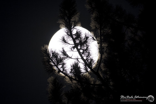
Lunar Glow
hiking pacificcresttrail pct mtlaguna iphone6
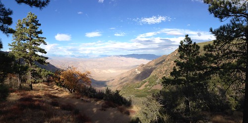
Pacific Crest Trail Mt Laguna #pct #pacificcresttrail #mtlaguna #hiking #iphone6
california sunset usa silhouette night dark landscape woods nikon nightscape sandiego creepy tokina sandiegocounty mountlaguna clevelandnationalforest d810 tokina2035mmf35
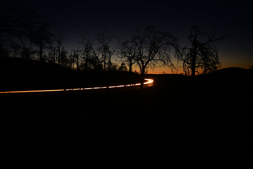
Dark and Deep
flowers panorama wow explore bearvalley w9jim woolydaisy
Yellow Flowers
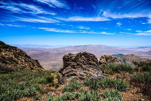
Desert panorama from 6000 ft -- Mt Laguna
landscape desert sandiego kwaamyiipoint
Kwaamyii Point-0009
blinkagain
First light ⓒ
california pacificcresttrail iphone mtlaguna sunrisehwy sunrisehighway
#mtlaguna #sunrisehwy #PacificCrestTrail #california #iphone
landscape desert sandiego kwaamyiipoint
Kwaamyii Point-0081
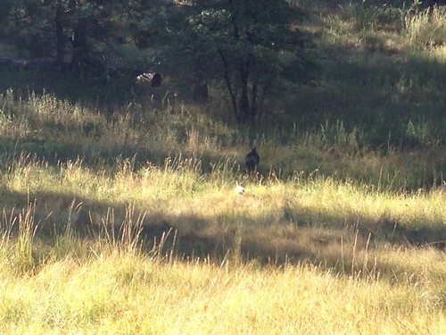
Momma Turkey with her youngin'
landscape desert sandiego kwaamyiipoint
Kwaamyii Point-0084
landscape desert sandiego kwaamyiipoint
Kwaamyii Point-0078
california unitedstates mountlaguna
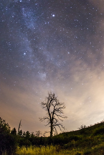
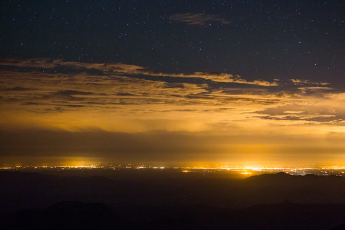
Stars, clouds, and light pollution. Looking east from atop Mount Laguna.
friends terrain sun nature bike bicycle sport speed fun outdoors climb fly athletic jump rocks power ride suspension mountainbike trails machine fast bikes happiness hobby hills adventure chain explore dirt entertainment journey transportation technical balance descend bikeride activity venture excitement endurance gears tough roam challenge challenging fattire ascend nofear cranks exhilarating singletrack mountainbikes allout centripetalforce
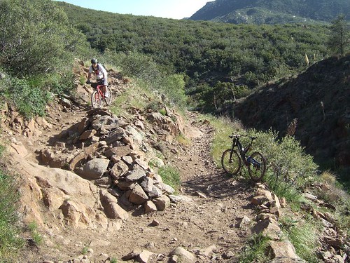
Noble canyon trail
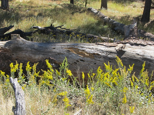
Goldenrod & old log
california night julian unitedstates sandiego astronomy cuyamacaranchostatepark milkywaygalaxy
The Milky Way at Cuyamaca Rancho State Park
Optimized-03176.jpg