Elevation of Big Cat Trail, California, USA
Location: United States > California > San Diego County > Alpine >
Longitude: -116.69047
Latitude: 32.7484144
Elevation: 901m / 2956feet
Barometric Pressure: 91KPa
Elevation Map:
Satellite Map:
Related Photos:

Golden Hour at the Gate

Wild Oats

Lyons Peak Sunrise

Lyons Peak Sunrise
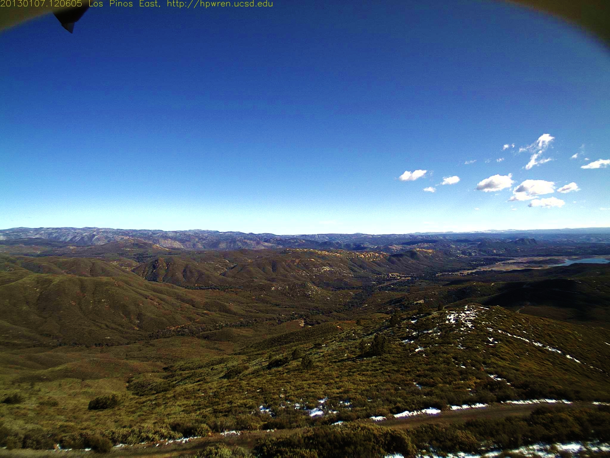
Los Pinos East view -- after

Lyons Peak Sunrise Nov. 5, 2011

1352593813.jpg 10-Nov-2012 1630
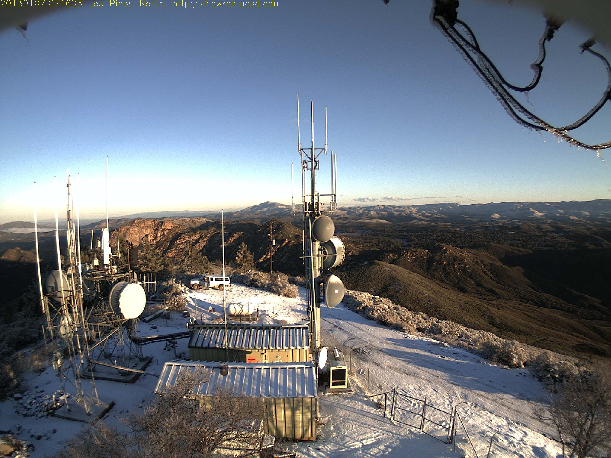
Los Pinos north view 0716

Lyons Peak Sunrise Nov 15, 2011 at 0550
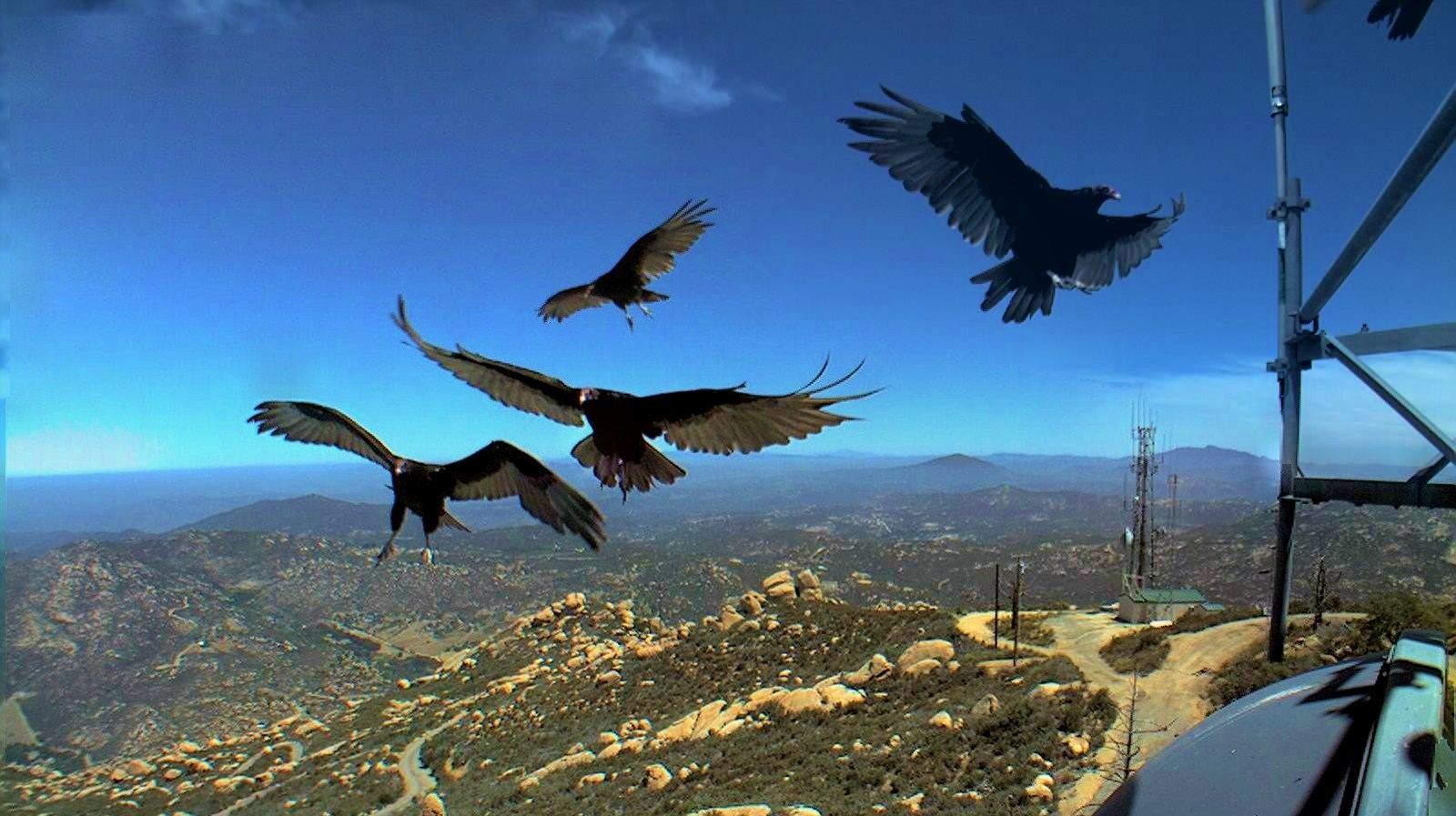
Lyons Peak north - Turkey vultures composite
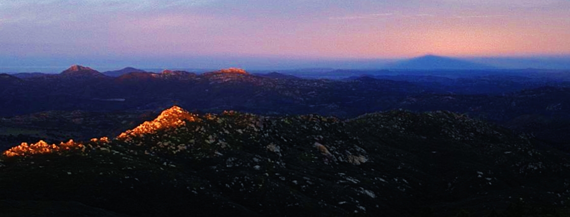
Los Pinos West view: Shadow effect
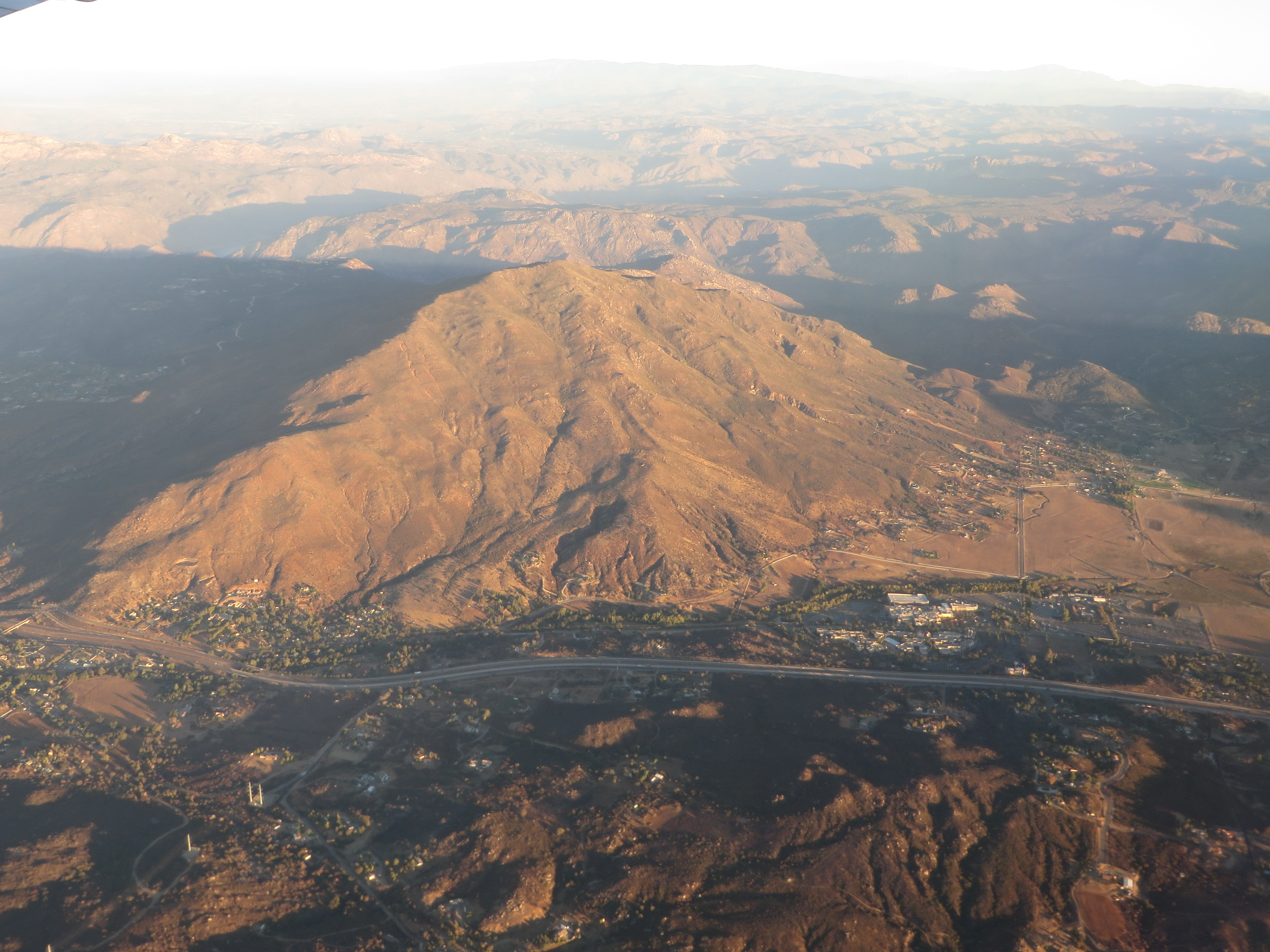
Viejas Mountain, Alpine, California

East County Panorama
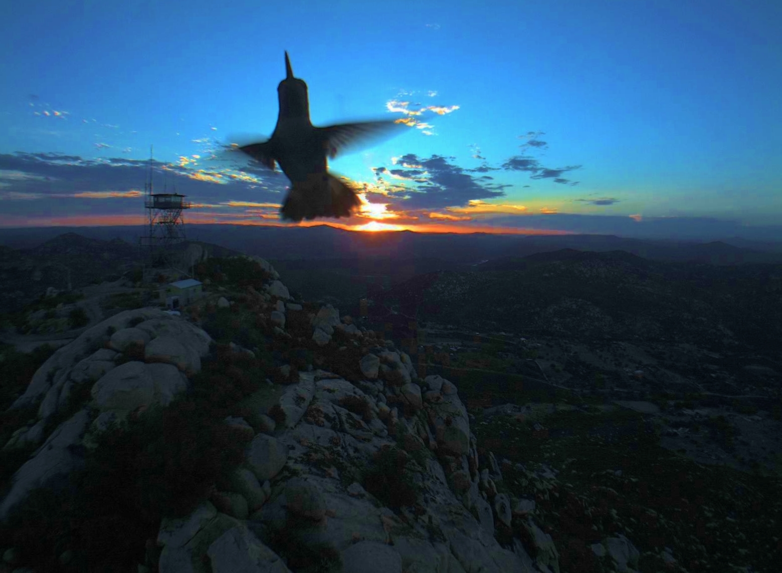
Sunrise hummingbird
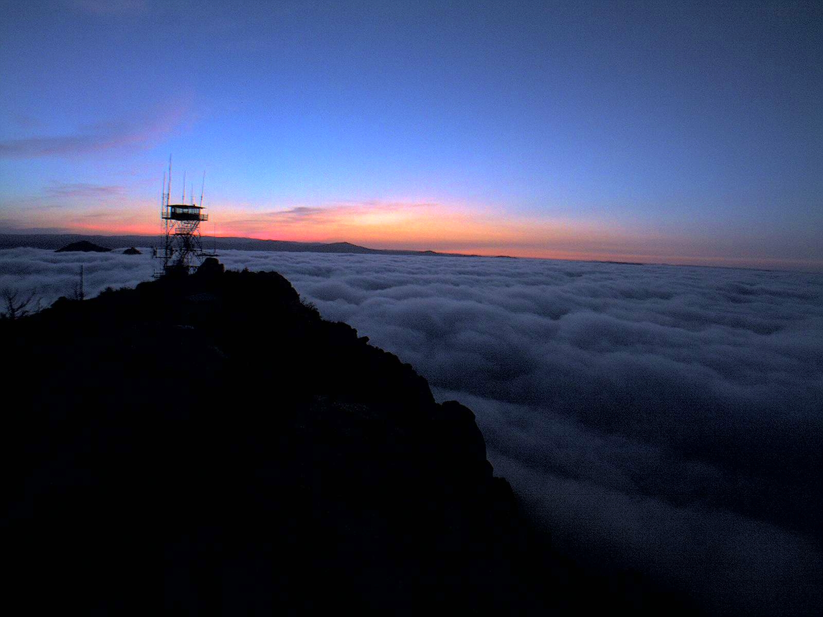
Lyons Peak Sunrise May 1, 2012

The birds ... crows cavort at Lyons Peak
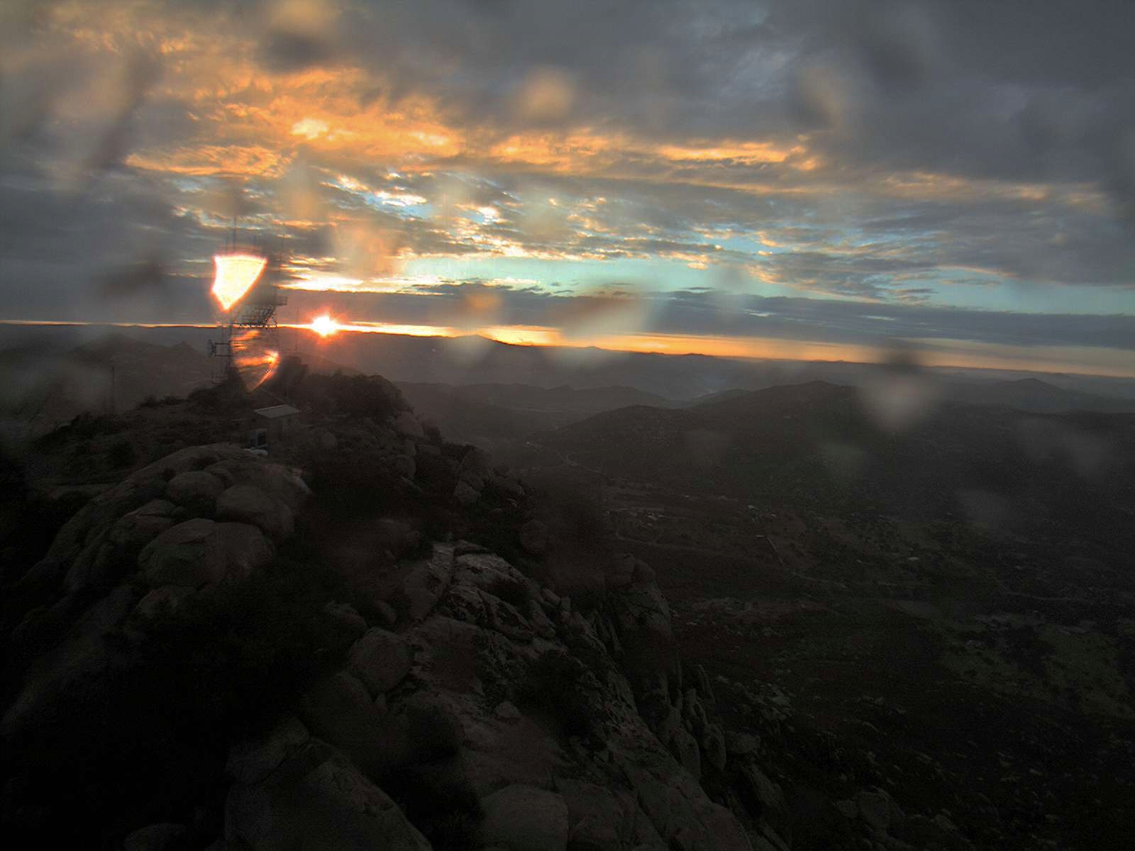
A few raindrops at sunrise from Lyons Peak July 13, 2012

Lyons Peak - Long shadows & dark clouds, near sunset ~ February 20th, 2014
Roso's First Trail
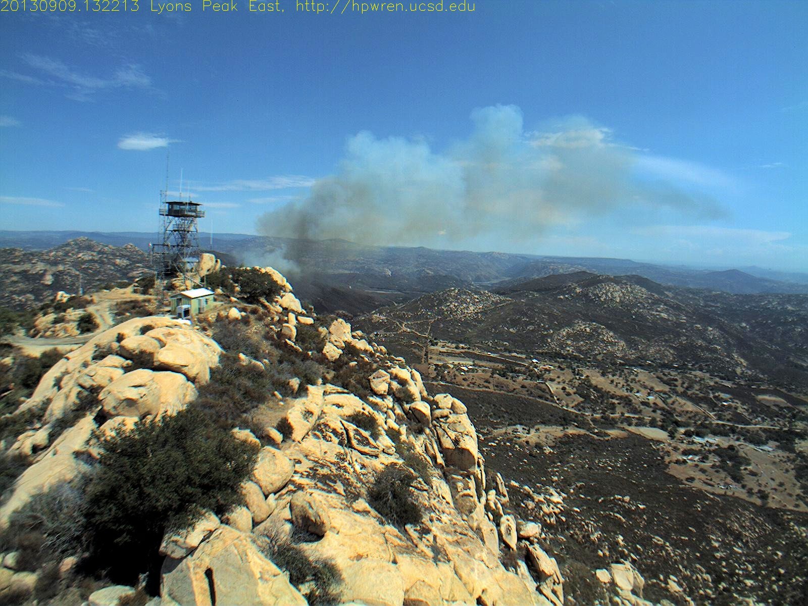
Captured - A wildfire start at Jamul in southern California 1378758133

I believe I can fly!
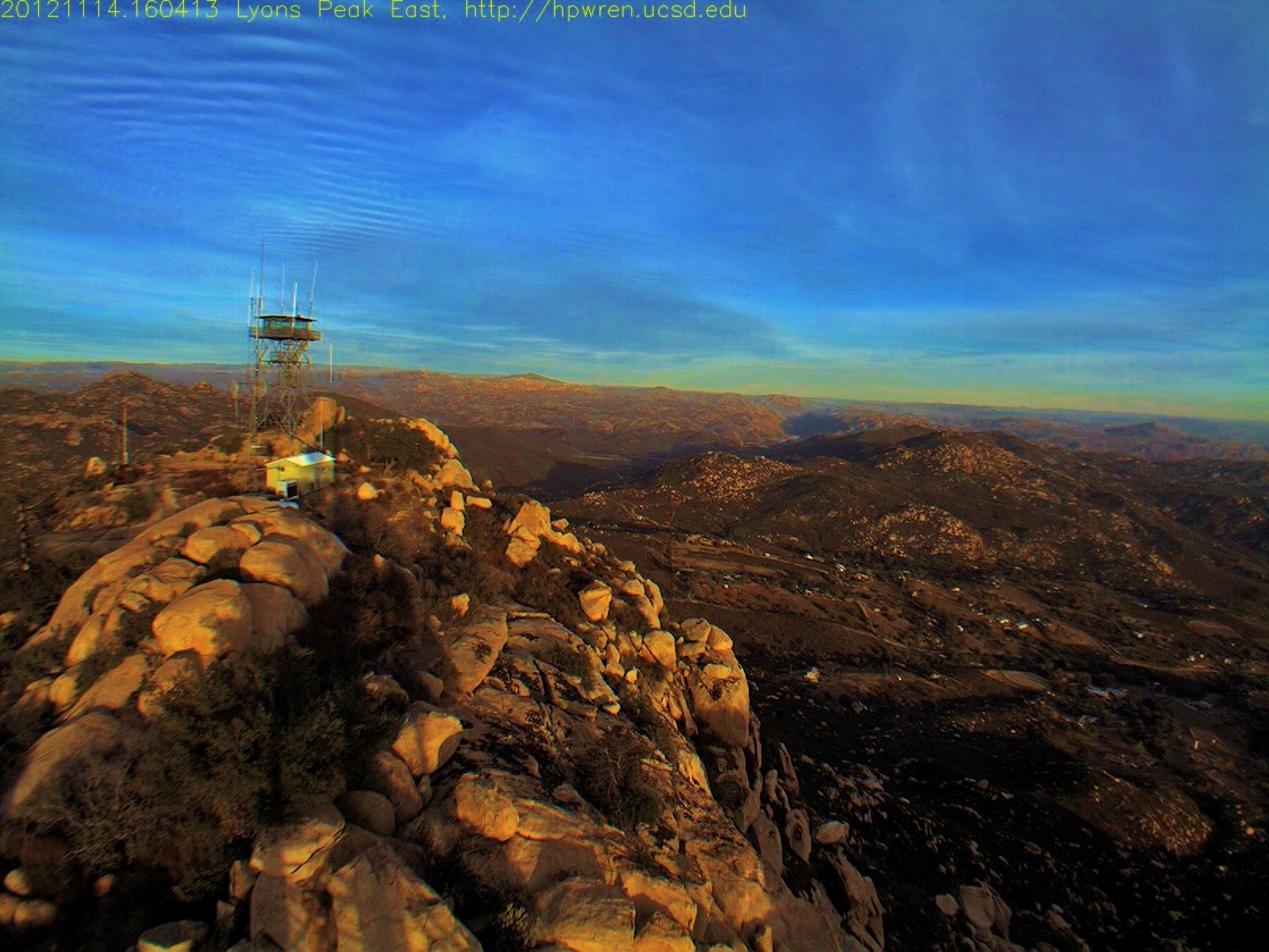
Lyons Peak east view 14-Nov-2012 1604.... 4:04PM PST
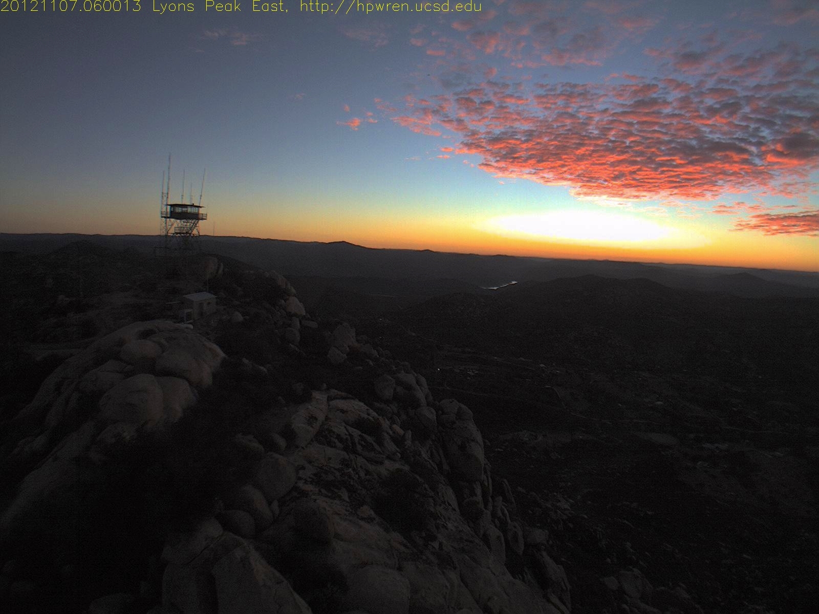
Lyons Peak East view 07-Nov-2012 06:00 PST
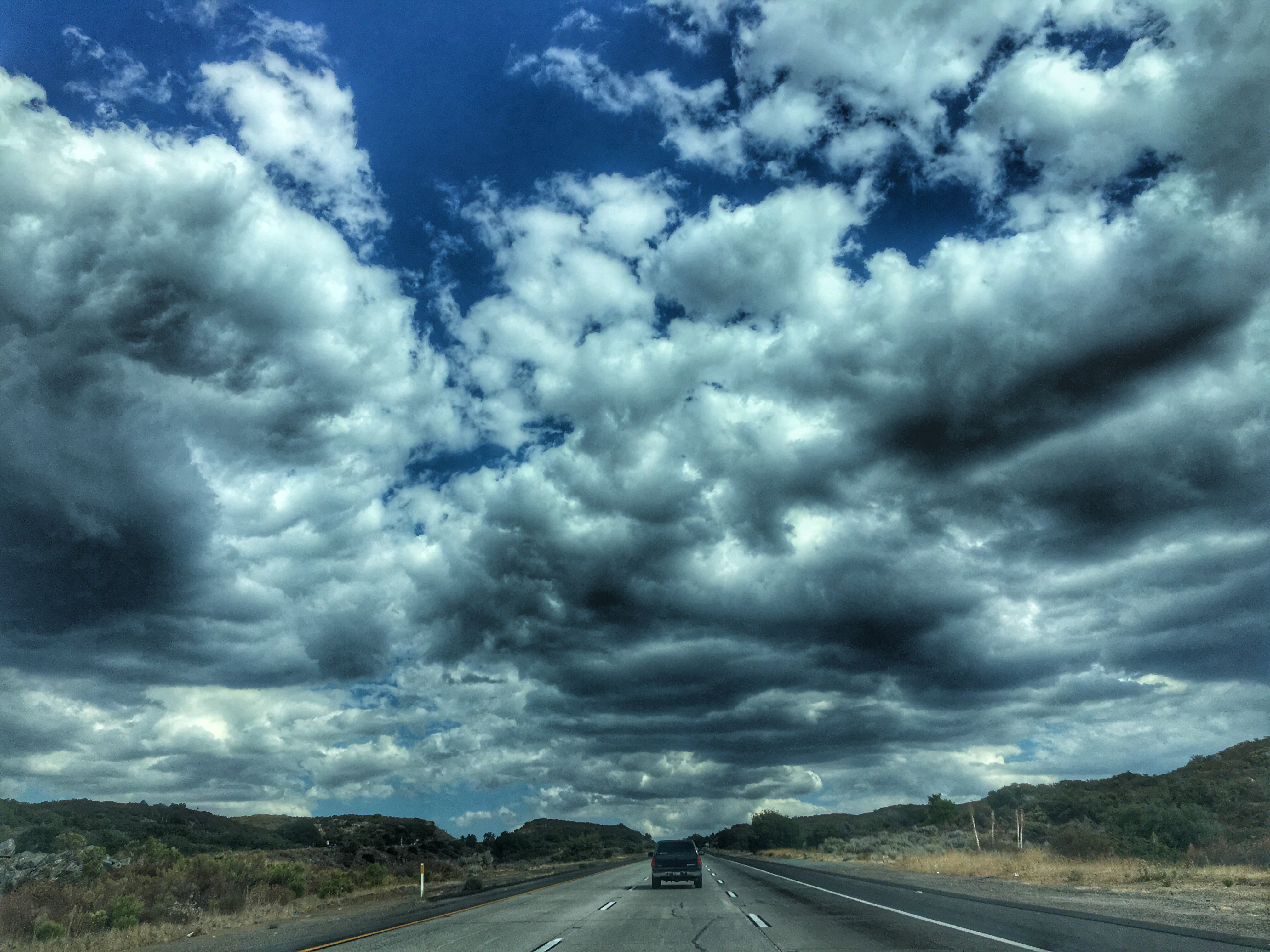
Storm Clouds Blowing in

Lunar Glow
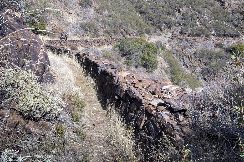
Walking The Pine Valley Flume

Sunrise after thunderstorm
Horsethief Canyon

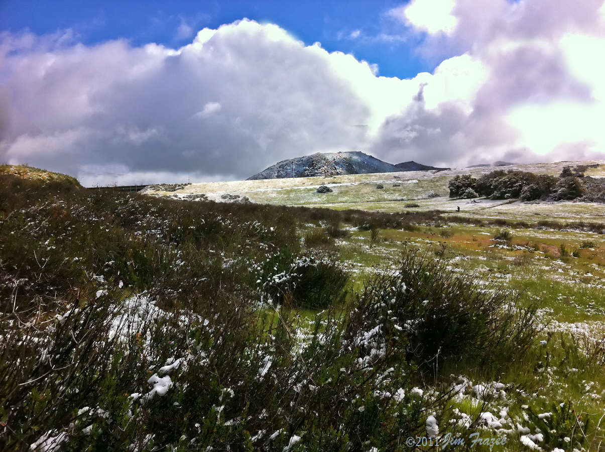
Snowy Landscape

Viegas Outlet

Today was a good day.
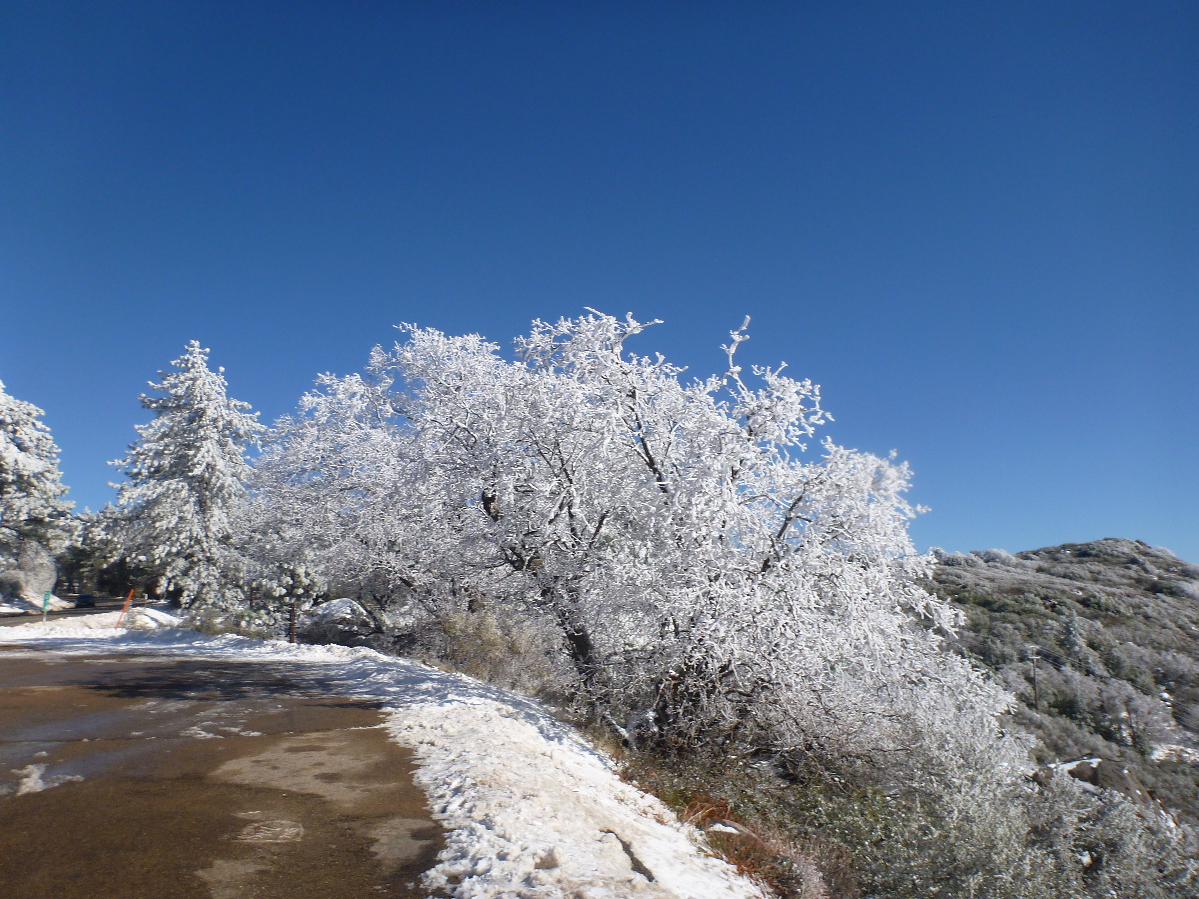
Snowy Landscape

Chiquito Peak, pano
U.S. Highway 80
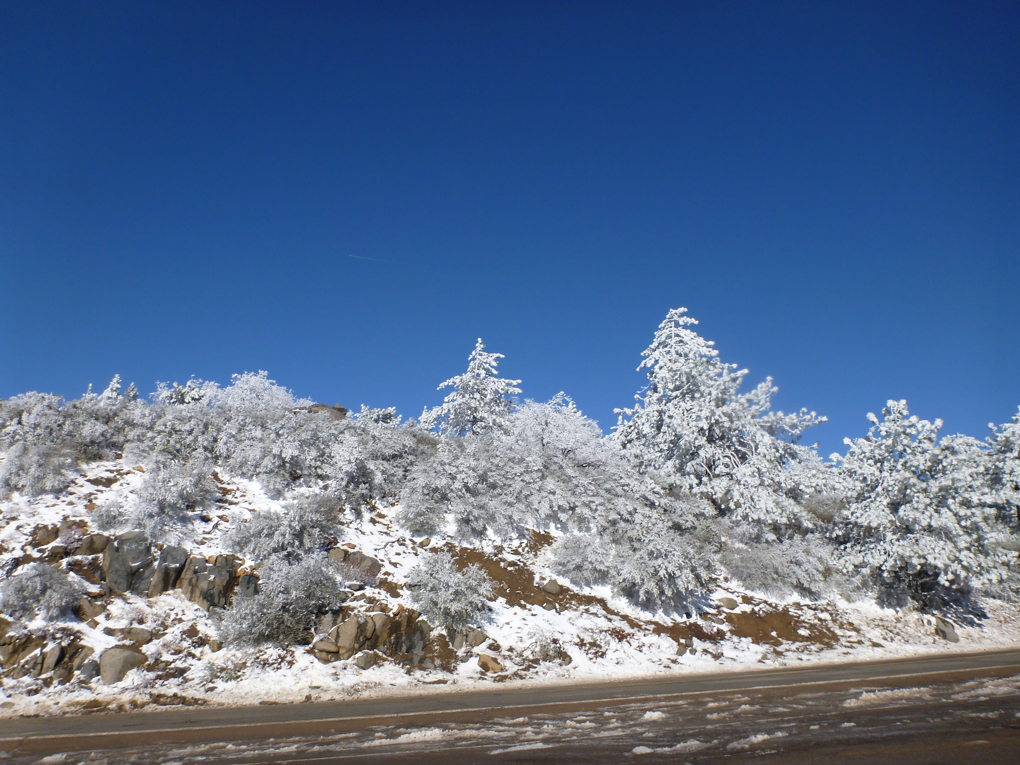
Snowy Landscape

Horsethief Canyon

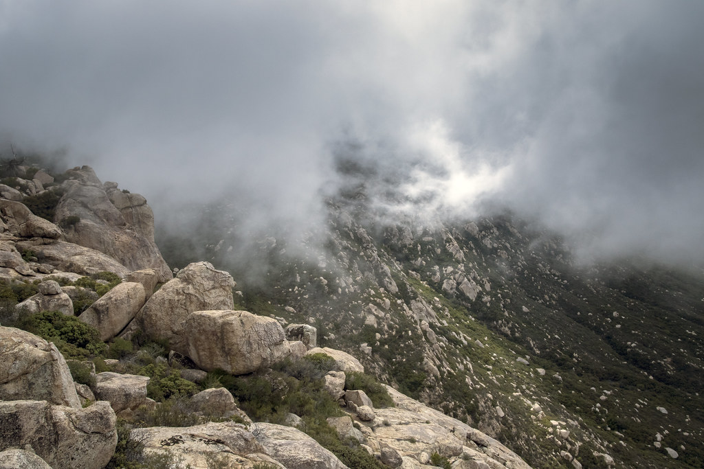
Skies in turmoil, Lyons Peak

Espinosa Ravine
Topographic Map of Big Cat Trail, California, USA
Find elevation by address:

Places near Big Cat Trail, California, USA:
3715 Carveacre Rd
22237 Japatul Valley Rd
6476 Japatul Highlands Rd
1300 Lynn Oak Dr
Willows Road
Viejas Casino & Resort
5000 Willows Rd
25 Browns Rd
Descanso
Old Hwy 80, Pine Valley, CA, USA
Guatay
28677 Lebanon Rd
Pine Valley
28709 Deer Creek Trail
Lone Pine Trail
8010 Lilac Ln
Boulder Oaks
Buckman Springs Rest Area
Laguna Mountains
Mount Laguna
Recent Searches:
- Elevation of Gateway Blvd SE, Canton, OH, USA
- Elevation of East W.T. Harris Boulevard, E W.T. Harris Blvd, Charlotte, NC, USA
- Elevation of West Sugar Creek, Charlotte, NC, USA
- Elevation of Wayland, NY, USA
- Elevation of Steadfast Ct, Daphne, AL, USA
- Elevation of Lagasgasan, X+CQH, Tiaong, Quezon, Philippines
- Elevation of Rojo Ct, Atascadero, CA, USA
- Elevation of Flagstaff Drive, Flagstaff Dr, North Carolina, USA
- Elevation of Avery Ln, Lakeland, FL, USA
- Elevation of Woolwine, VA, USA