Elevation of Deer Creek Trail, Pine Valley, CA, USA
Location: United States > California > San Diego County > Pine Valley >
Longitude: -116.52976
Latitude: 32.8323293
Elevation: 1120m / 3675feet
Barometric Pressure: 89KPa
Elevation Map:
Satellite Map:
Related Photos:
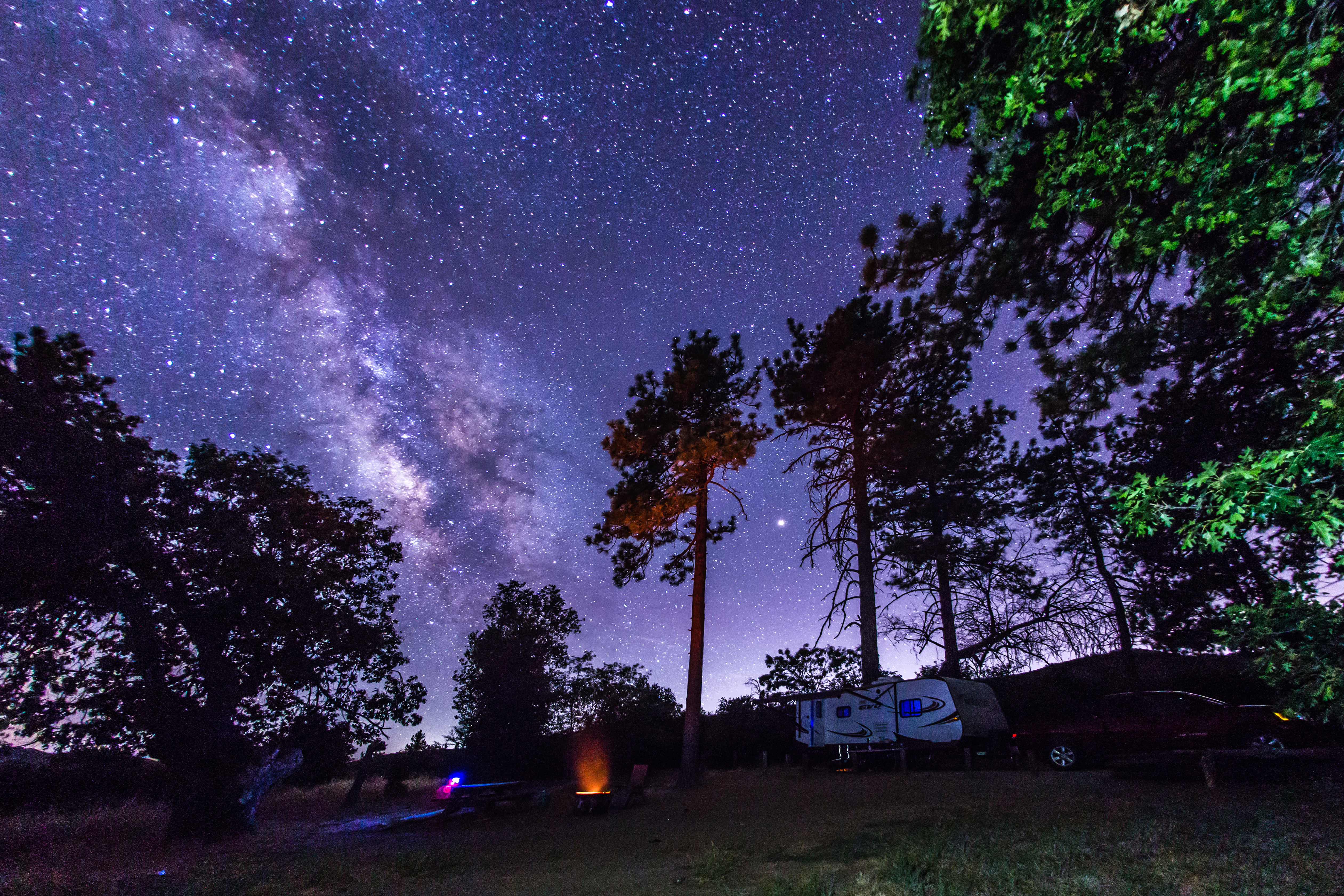
Camping under the Milky Way in Cuyamaca Rancho State Park

Wild Oats

Walk The Plank

Stonewall Peak Trail in Cuyamaca Rancho State Park, California

1/100 First day sunrise...

Desert Overlook

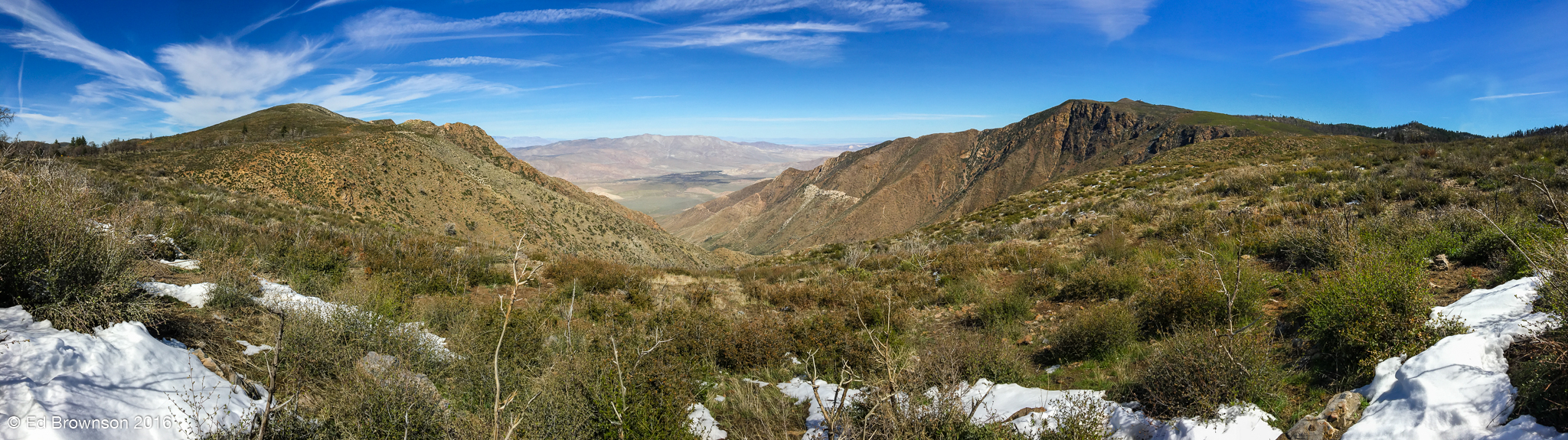
South of Sherilton Valley

Inside the bomb shelter - sunlight shining in through the hatch

Modern FAA radar on the left, abandoned Distant Early Warning radar on the right.

Abandoned Distant Early Warning radar tower on top of Mount Laguna.

We couldn't save them

Bomb shelter kitchen

Map of Laguna Campground 8-2-2011 -- for a larger view LEFT CLICK ON THE IMAGE - the blue loops are reservable - the campground is open all year - Campground hosts at 619-473-2082 - The best tent campsite I've ever seen is #85

When you walk through that door; Don't say you're easy on me; You're about as easy as a nuclear war.

Ventilation equipment inside the bomb shelter

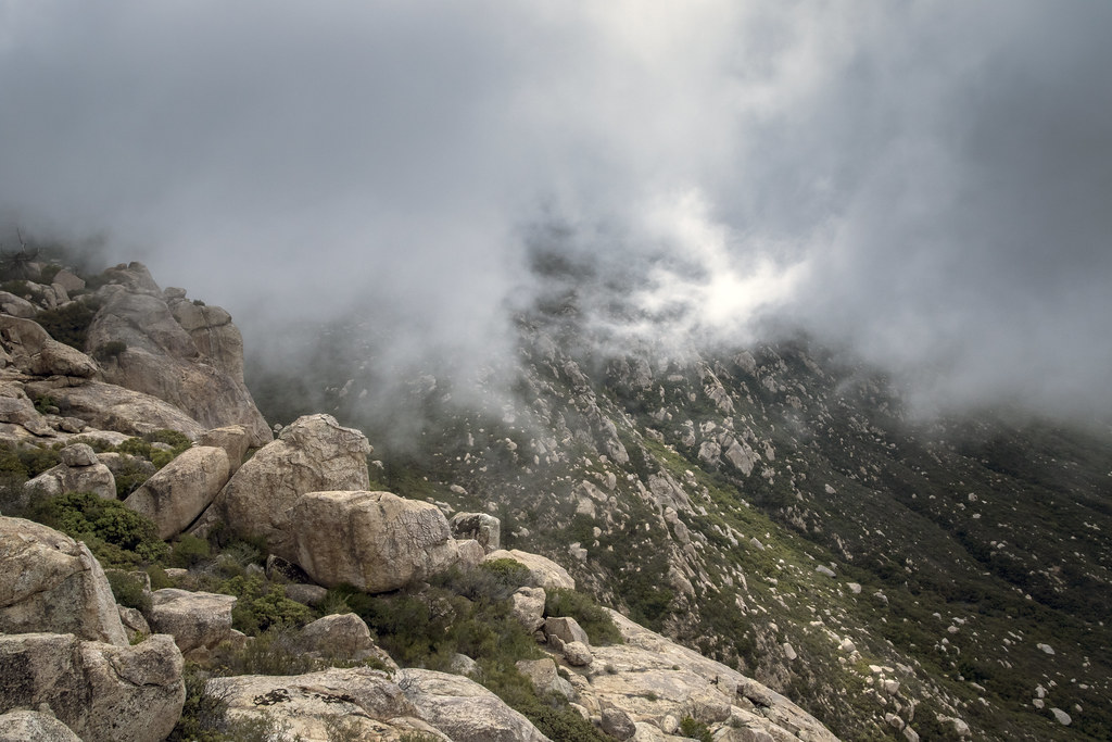
Storm Canyon from Pacific Crest Trail

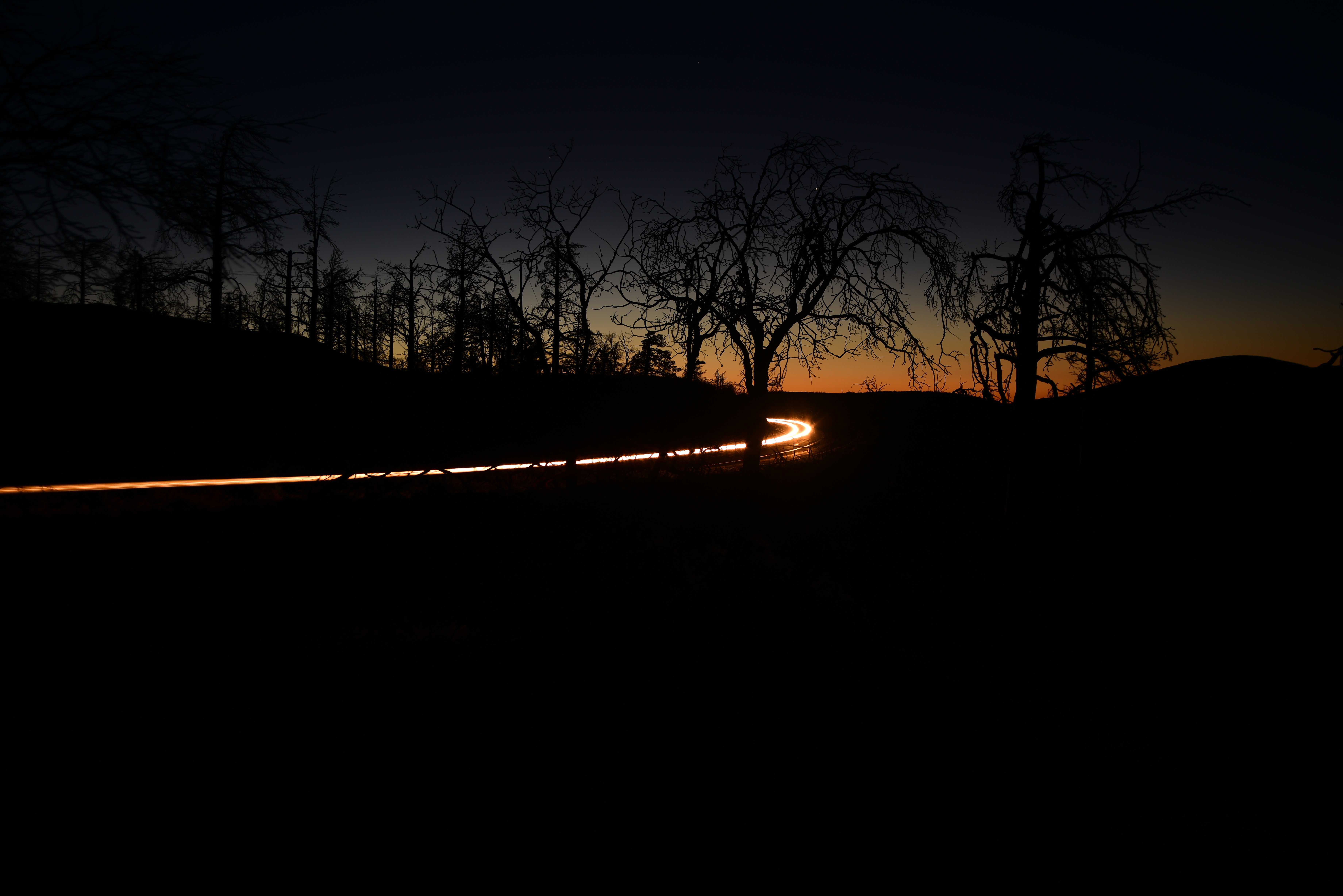
Golden Hour at the Gate

Zoey's monologue.

Jasmine is happy.

Pine Creek canyon,late morning.

Tierra Blanca Mtns & Salton Sea.
Storm Clouds Blowing in

Corte Madera and Approaching Storm

Stark Contrast

Lightning bolt and rain over Brawley and/or El Centro, California.

Milky Way Behind an Oak Tree And Above Some Pine Trees
Dark and Deep

Milky Way and Burnt Tree Over the Ruins of Foster Lodge
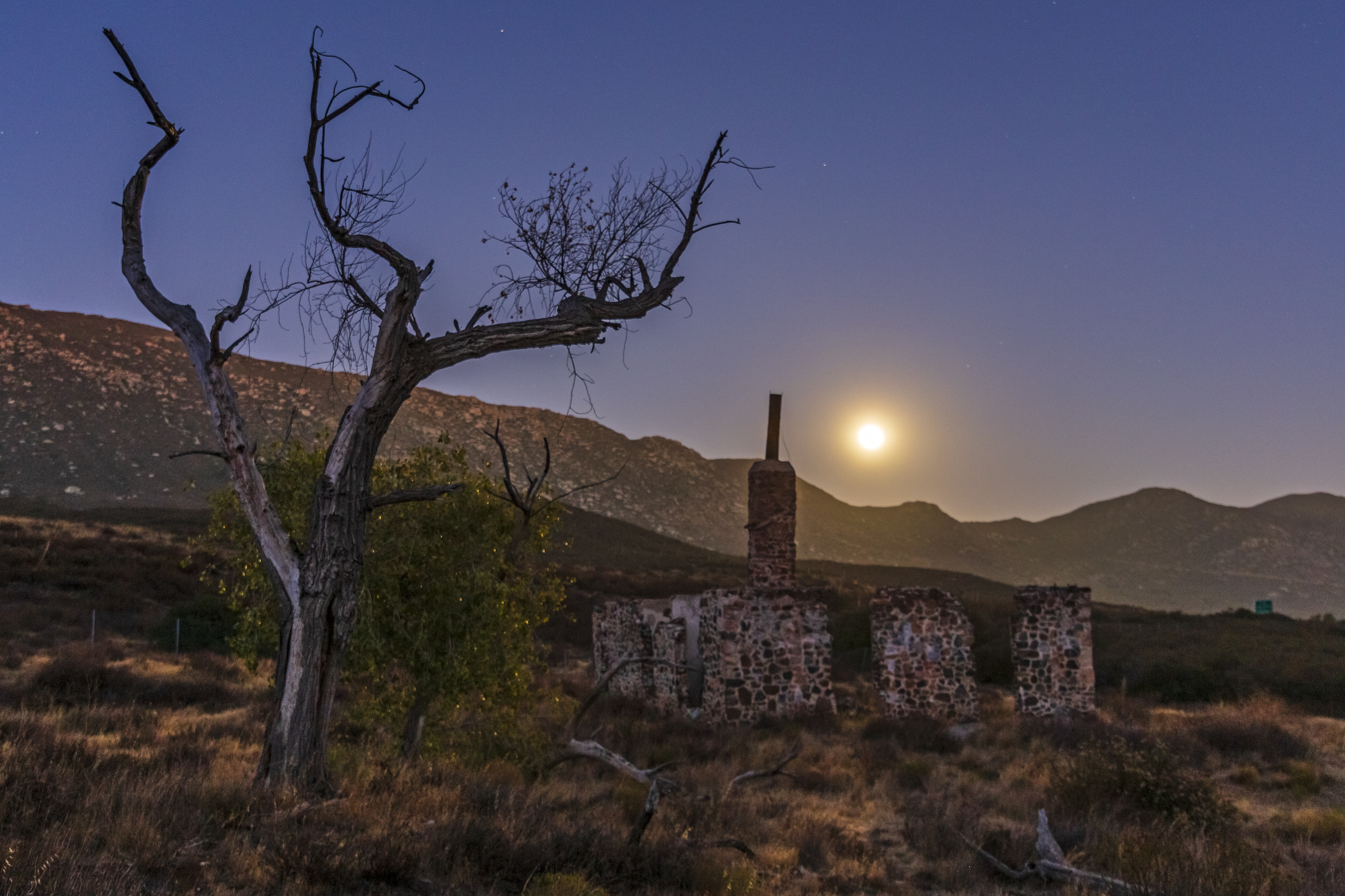
Ruins of the Buckman homestead along Old Highway 80 under a full moon

Pine Trees and the Milky Way in Mount Laguna During a 63% Moon
Anza Borrego desert seen from Mt Laguna

Garnet Peak Summit
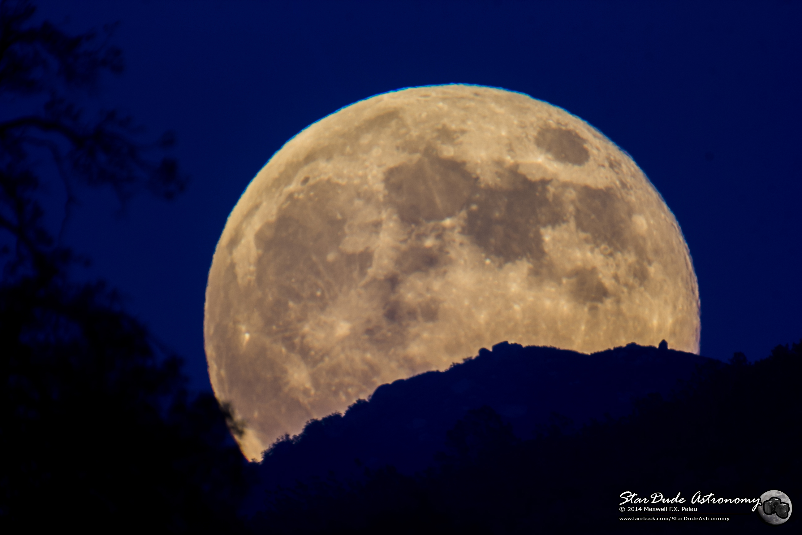
Moon Rising

Lunar Glow
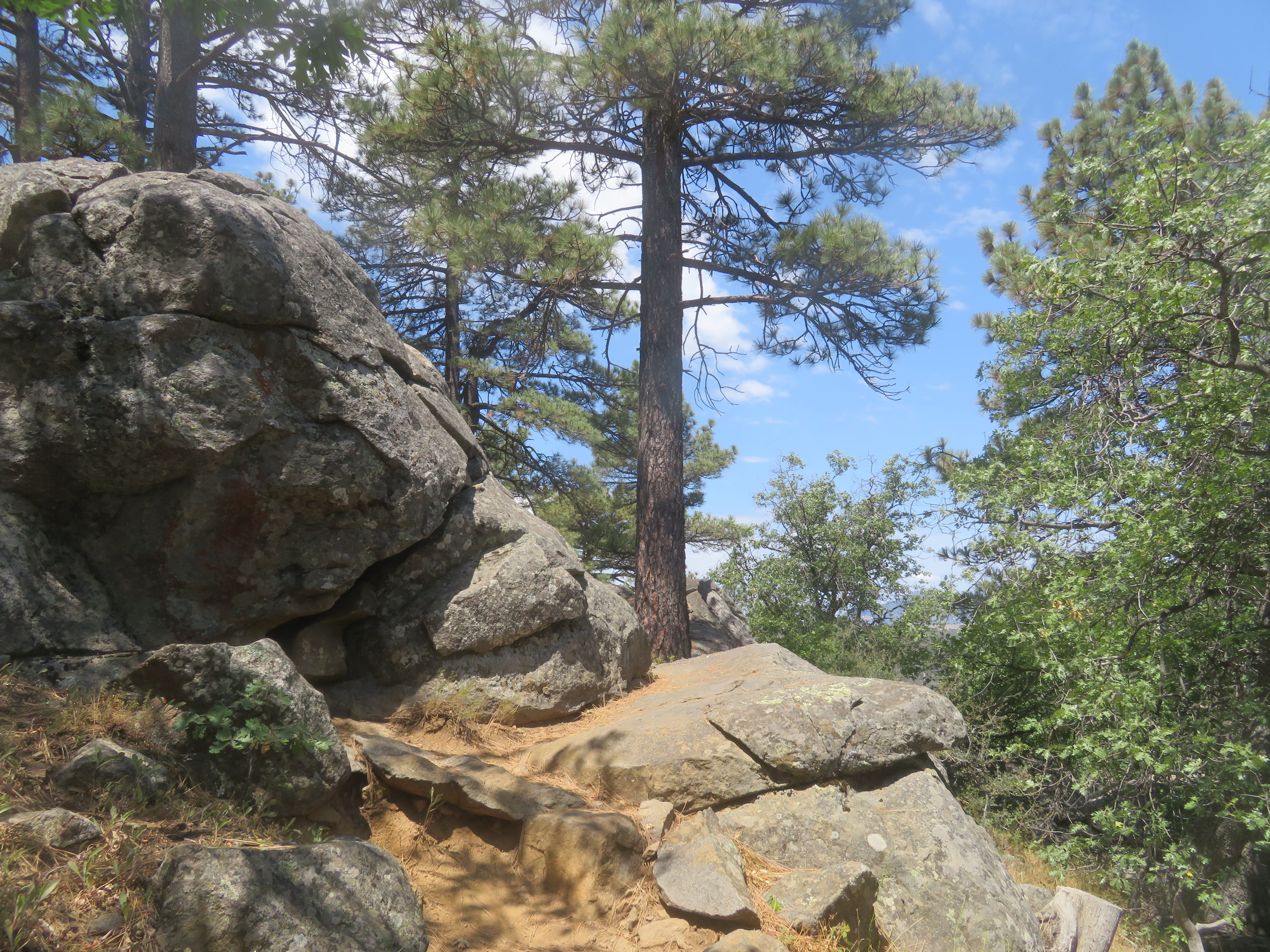
Rock outcrop

Super Moon Color
Topographic Map of Deer Creek Trail, Pine Valley, CA, USA
Find elevation by address:

Places near Deer Creek Trail, Pine Valley, CA, USA:
Lone Pine Trail
8010 Lilac Ln
28677 Lebanon Rd
Pine Valley
Old Hwy 80, Pine Valley, CA, USA
Guatay
Buckman Springs Rest Area
Descanso
Laguna Mountains
Boulder Oaks
Mount Laguna
6476 Japatul Highlands Rd
25 Browns Rd
22237 Japatul Valley Rd
1300 Lynn Oak Dr
5000 Willows Rd
Viejas Casino & Resort
Willows Road
3715 Carveacre Rd
Big Cat Trail
Recent Searches:
- Elevation of Lumagwas Diversified Farmers Multi-Purpose Cooperative, Lumagwas, Adtuyon, RV32+MH7, Pangantucan, Bukidnon, Philippines
- Elevation of Homestead Ridge, New Braunfels, TX, USA
- Elevation of Orchard Road, Orchard Rd, Marlborough, NY, USA
- Elevation of 12 Hutchinson Woods Dr, Fletcher, NC, USA
- Elevation of Holloway Ave, San Francisco, CA, USA
- Elevation of Norfolk, NY, USA
- Elevation of - San Marcos Pass Rd, Santa Barbara, CA, USA
- Elevation of th Pl SE, Issaquah, WA, USA
- Elevation of 82- D Rd, Captain Cook, HI, USA
- Elevation of Harlow CM20 2PR, UK