Elevation of Descanso, CA, USA
Location: United States > California > San Diego County >
Longitude: -116.61585
Latitude: 32.8528287
Elevation: 1038m / 3406feet
Barometric Pressure: 89KPa
Elevation Map:
Satellite Map:
Related Photos:
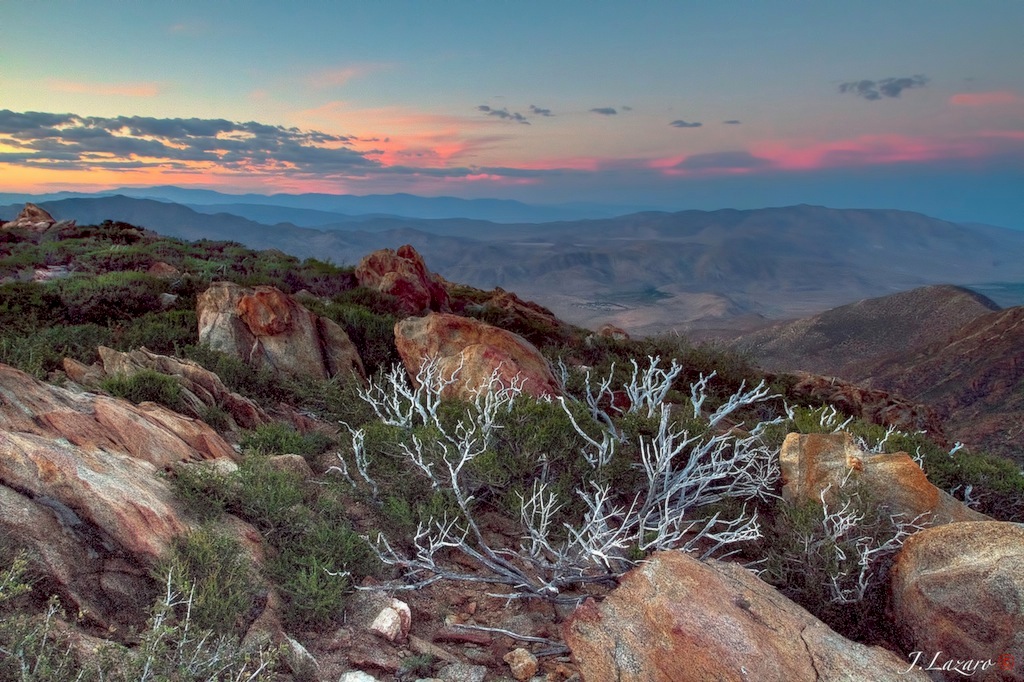
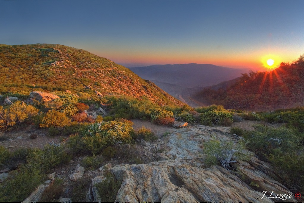
The Anza Borrego Desert View ⓒ

Wild Oats
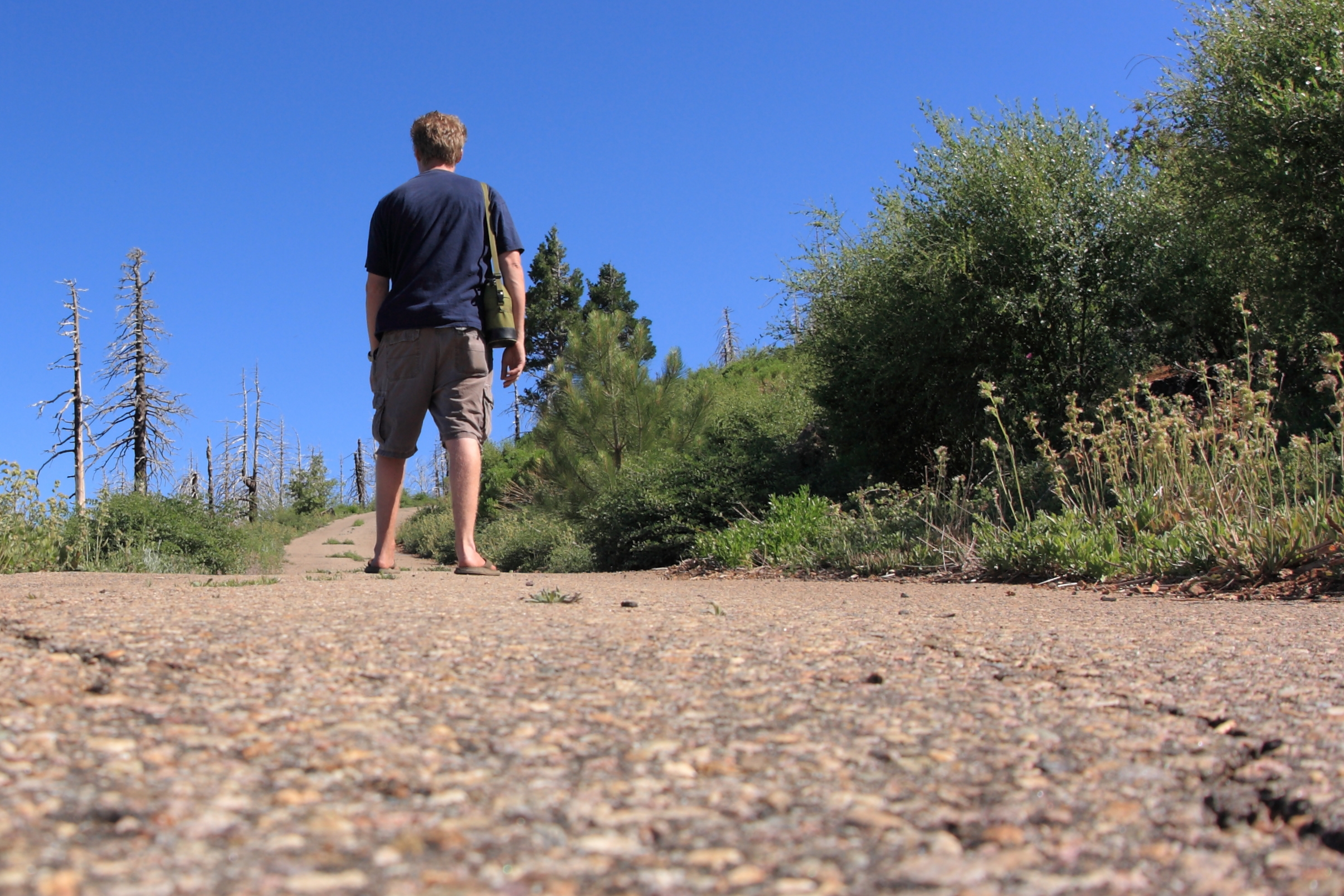
I'm taking a hike up to Cuyamaca Peak. Remote control self-portrait.

Mountain Top Milky Way
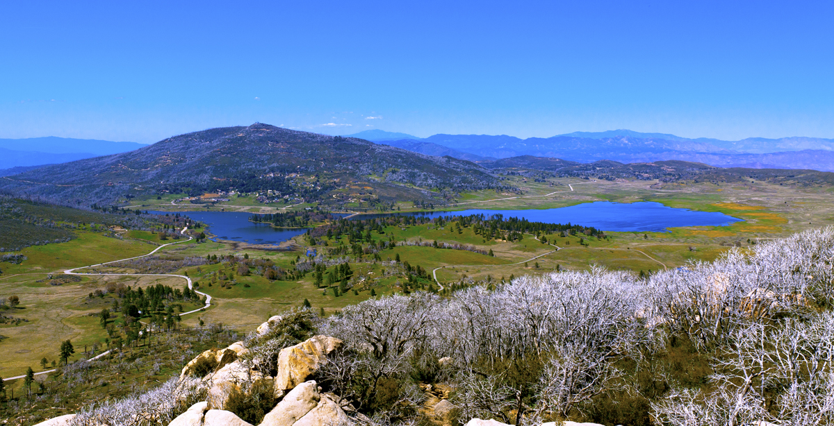
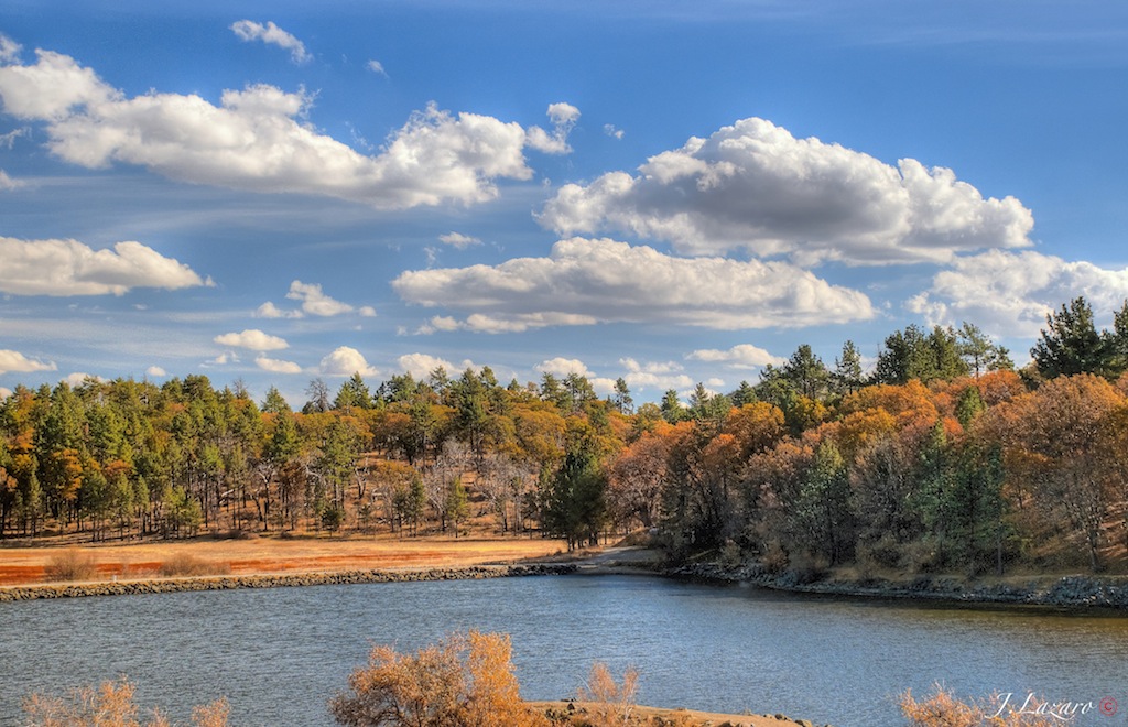
Lake Cuyamaca from Stone Wall Peak

Breakfast view ...

Space Dock
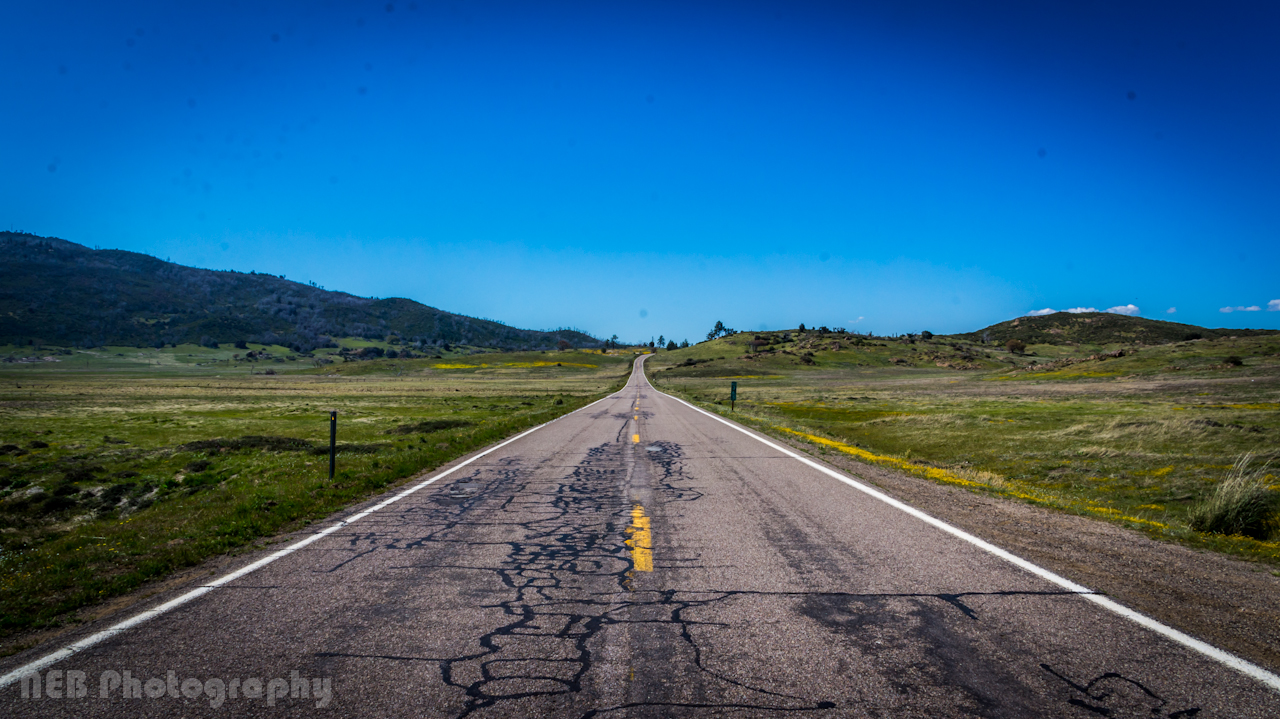
Roso's First Trail
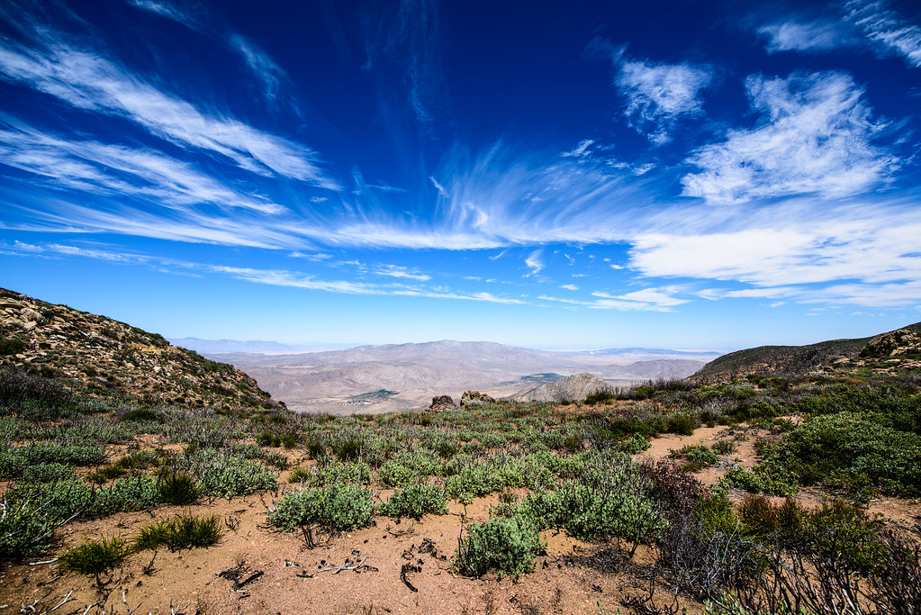
View from Viejas

Lake Cuyamaca from Stone Wall Peak

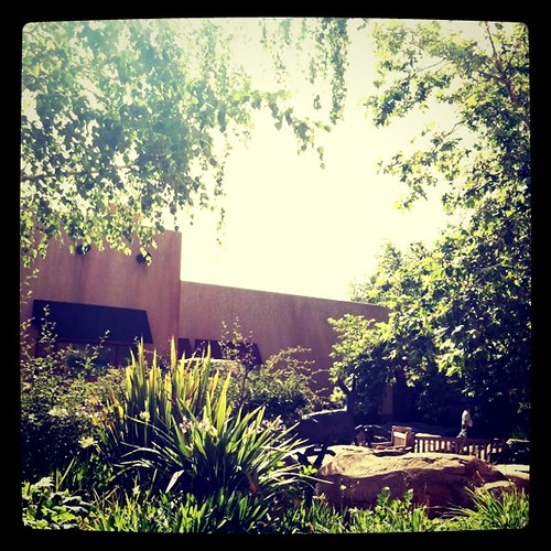
Light in the Window
Camping under the Milky Way in Cuyamaca Rancho State Park

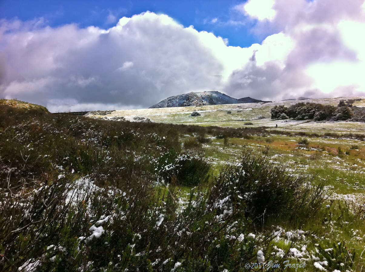
Los Pinos Peak East view of 'Thunderheads' at sunrise

View from Stonewall Peak

69 air miles away, the Mountain Fire from Los Pinos Peak N view 7-17-13 210 PM
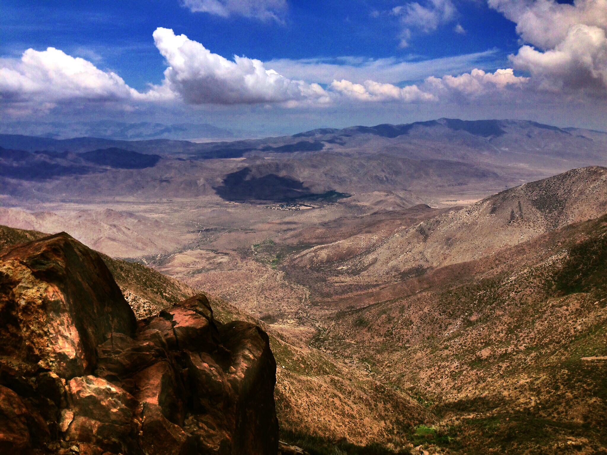
Anza Borrego desert seen from Mt Laguna
Los Pinos East view -- after
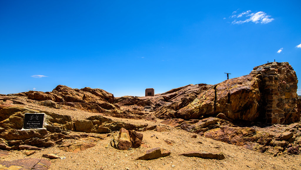
197 Cuyamaca Peak summit - western view panaorama
Camping at Green Valley Falls in the early 1950s
Los Pinos 360° Panorama
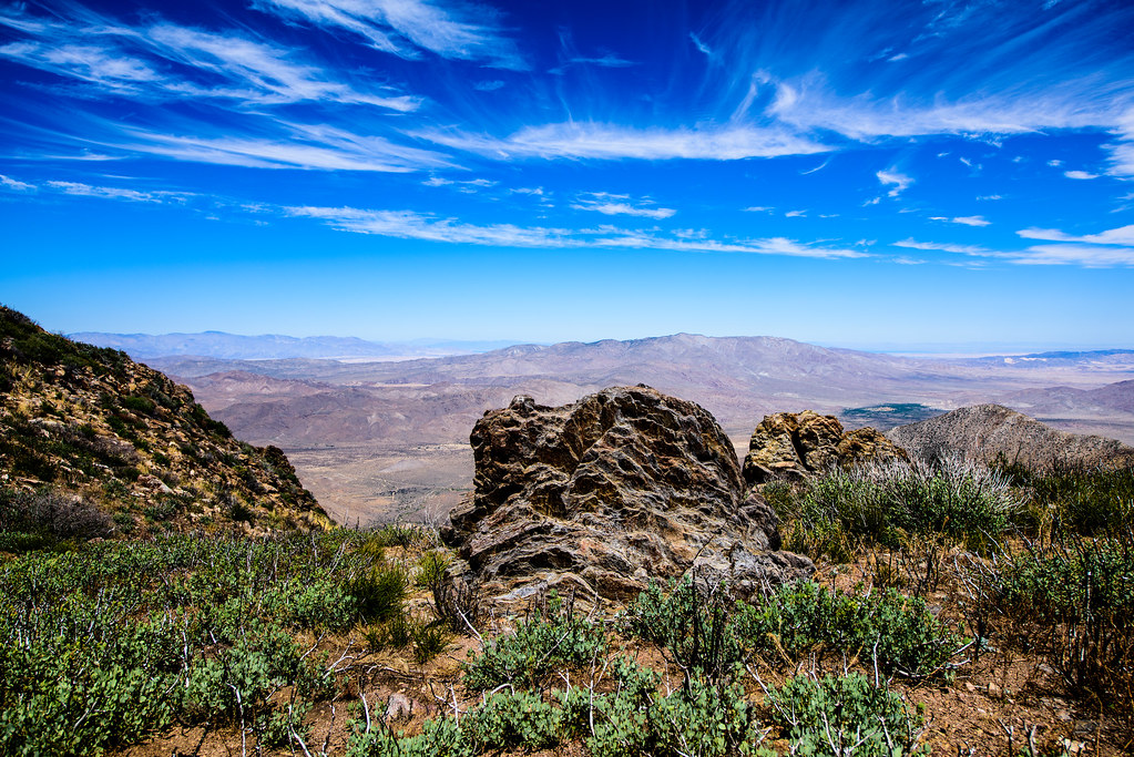
View from on top.

Crystal Blue ⓒ
First light ⓒ

De Anza Borrego Desert, Ca. ⓒ
First Day Of Autumn 2010 ⓒ

Lunar Glow
#mtlaguna #sunrisehwy #PacificCrestTrail #california #iphone
Kwaamyii Point-0081

El Capitan, Yosemite, California
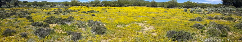
Yellow Flowers
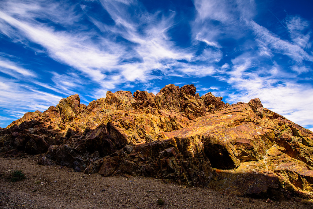
Kwaamyii Point-0084
Kwaamyii Point-0078
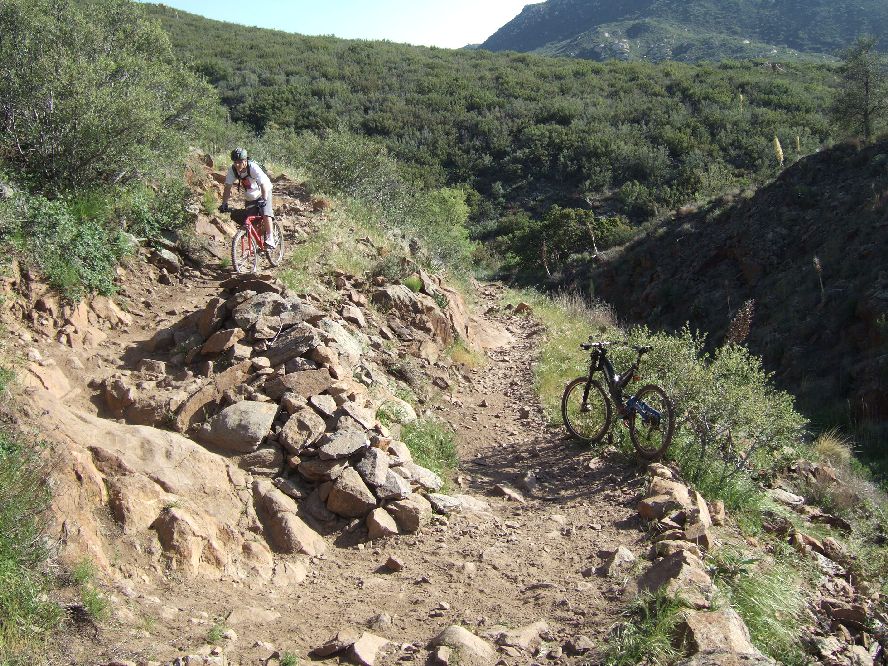
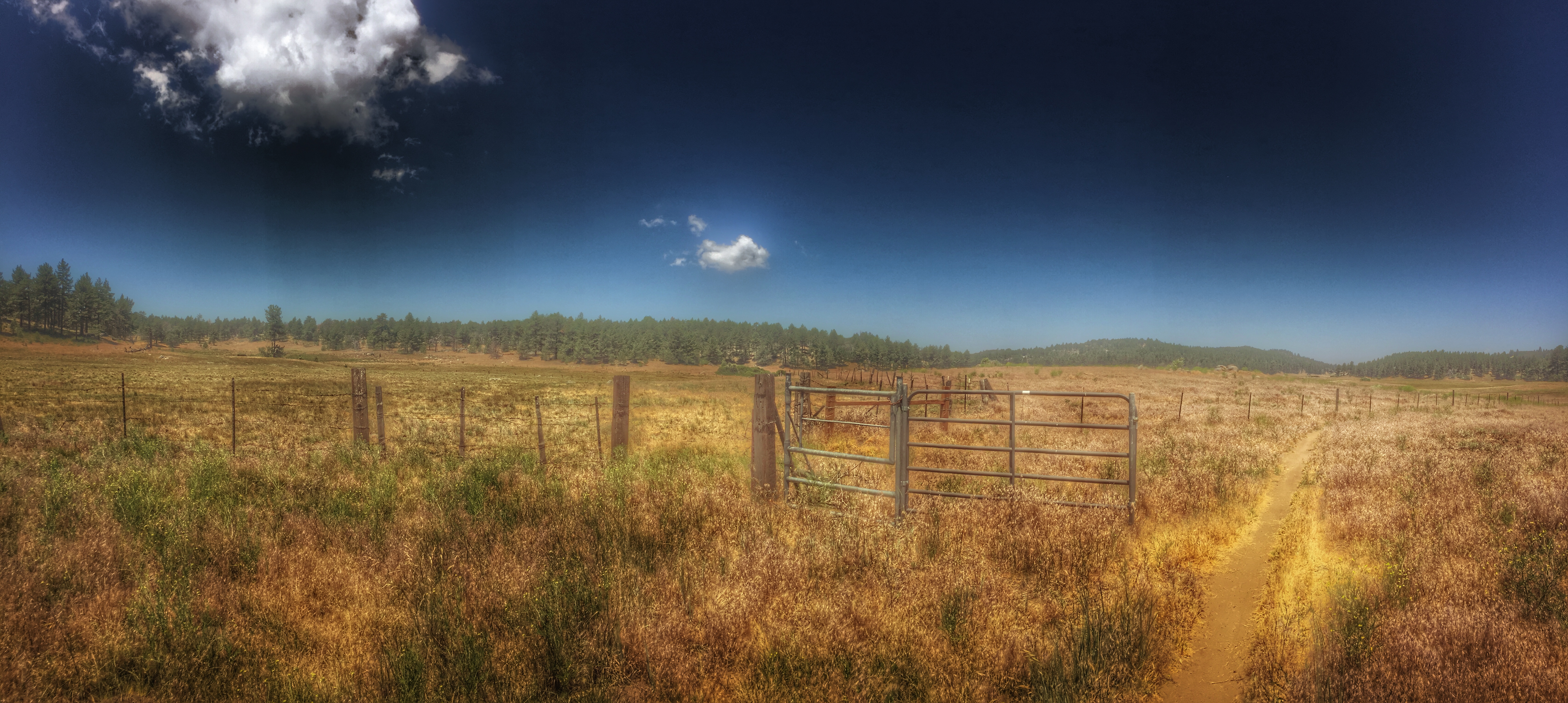
Noble canyon trail
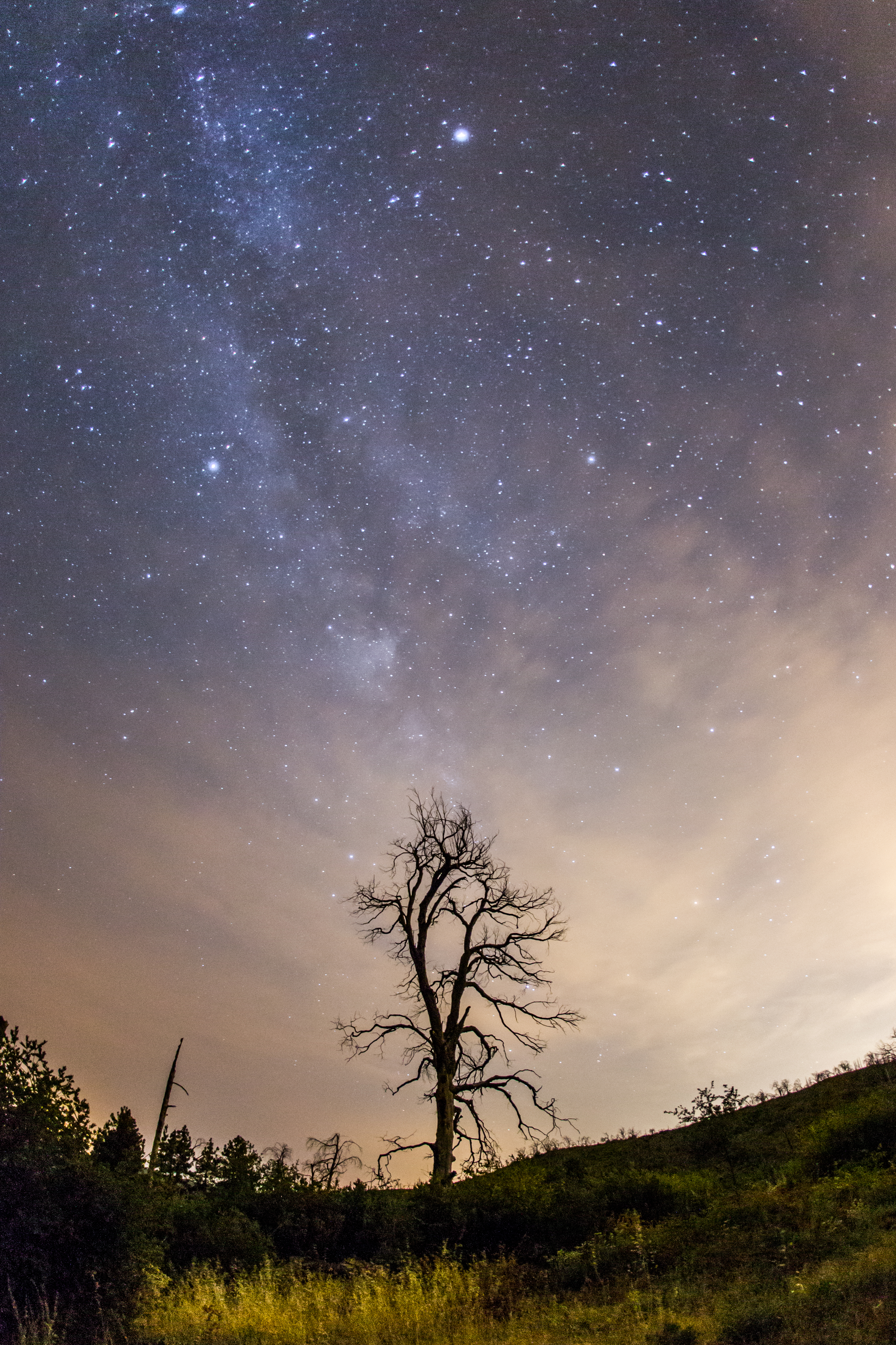
The Milky Way at Cuyamaca Rancho State Park
Optimized-03176.jpg
Hiking in Laguna
Viegas Outlet

Sonoran metalmark on checkerbloom

Optimized-02130.jpg
Kwaamyii Point-0009
Topographic Map of Descanso, CA, USA
Find elevation by address:

Places in Descanso, CA, USA:
Places near Descanso, CA, USA:
Guatay
Old Hwy 80, Pine Valley, CA, USA
25 Browns Rd
6476 Japatul Highlands Rd
28677 Lebanon Rd
28709 Deer Creek Trail
1300 Lynn Oak Dr
5000 Willows Rd
Viejas Casino & Resort
Lone Pine Trail
Pine Valley
Willows Road
8010 Lilac Ln
22237 Japatul Valley Rd
3715 Carveacre Rd
Big Cat Trail
Buckman Springs Rest Area
Laguna Mountains
Boulder Oaks
Mount Laguna
Recent Searches:
- Elevation of Kreuzburger Weg 13, Düsseldorf, Germany
- Elevation of Gateway Blvd SE, Canton, OH, USA
- Elevation of East W.T. Harris Boulevard, E W.T. Harris Blvd, Charlotte, NC, USA
- Elevation of West Sugar Creek, Charlotte, NC, USA
- Elevation of Wayland, NY, USA
- Elevation of Steadfast Ct, Daphne, AL, USA
- Elevation of Lagasgasan, X+CQH, Tiaong, Quezon, Philippines
- Elevation of Rojo Ct, Atascadero, CA, USA
- Elevation of Flagstaff Drive, Flagstaff Dr, North Carolina, USA
- Elevation of Avery Ln, Lakeland, FL, USA