Elevation of Phelps's Hog Heaven, W 11th St, Coffeyville, KS, USA
Location: United States > Kansas > Montgomery County > Coffeyville >
Longitude: -95.623555
Latitude: 37.0326709
Elevation: 229m / 751feet
Barometric Pressure: 99KPa
Elevation Map:
Satellite Map:
Related Photos:
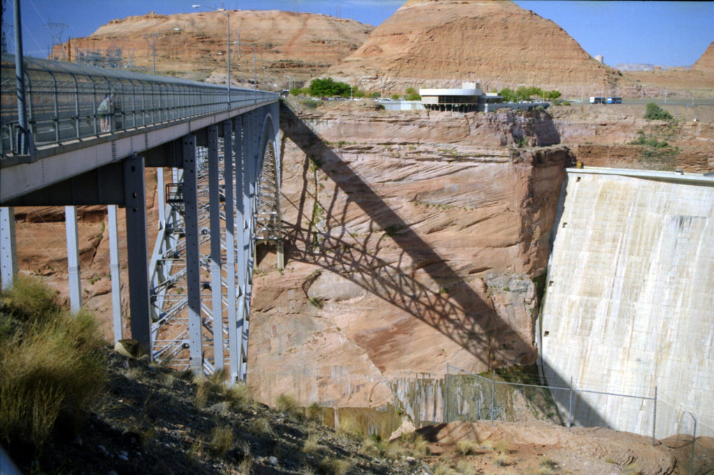
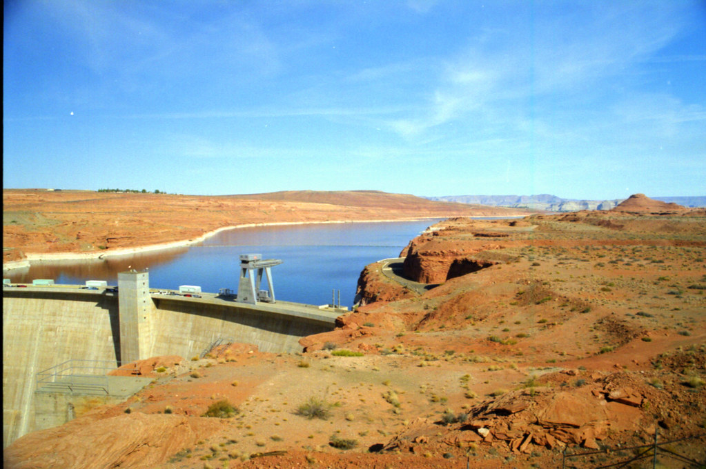
Utah and Travel

Utah and Travel
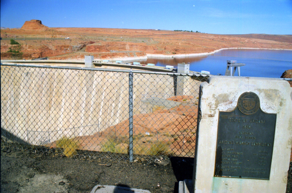
Utah and Travel
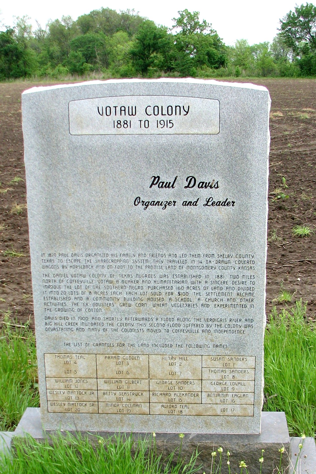
Votaw Colony
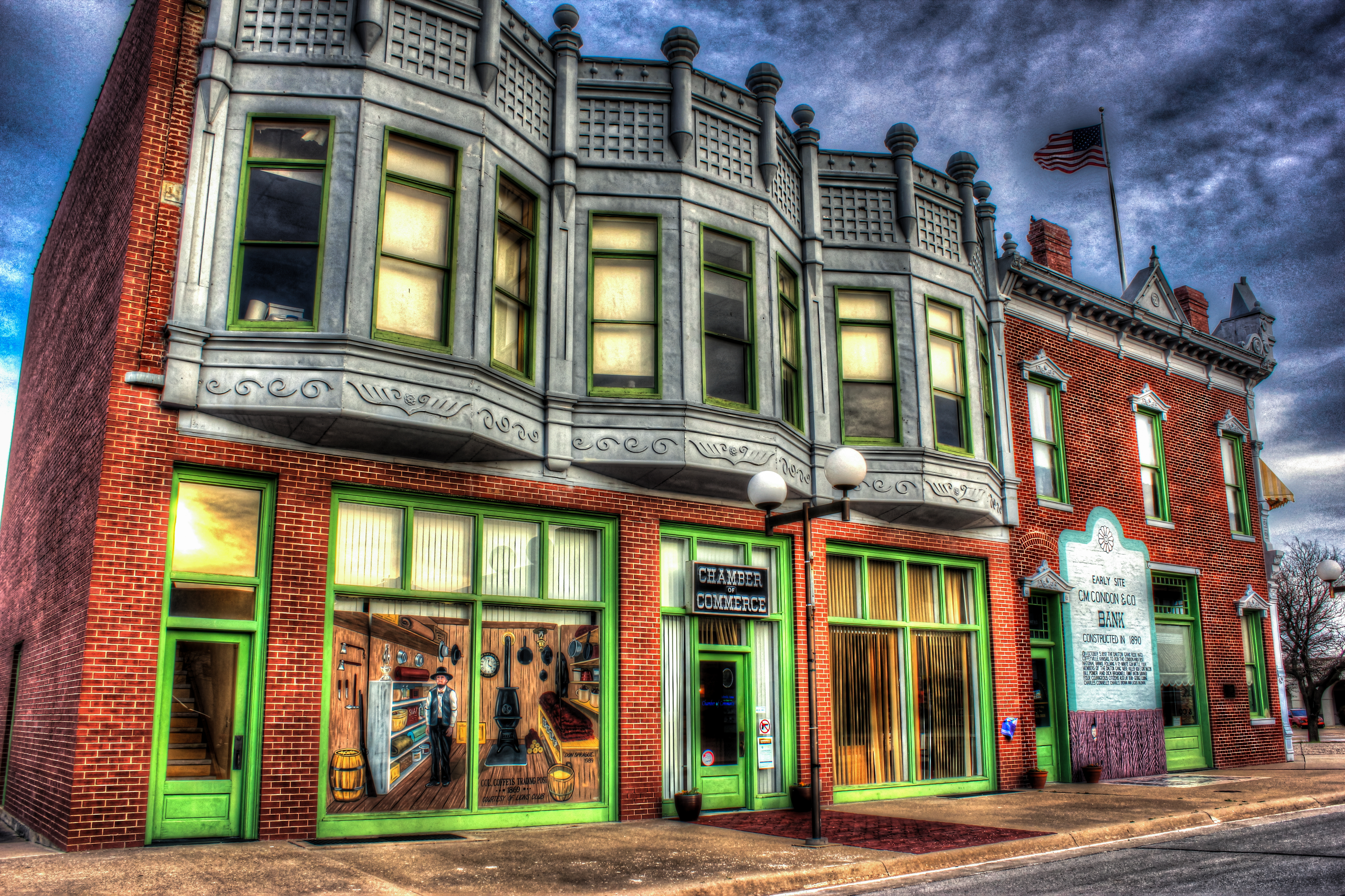
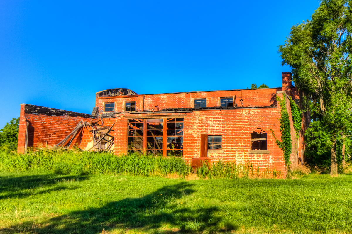
HDR Condon Bank side view
Utah and Travel
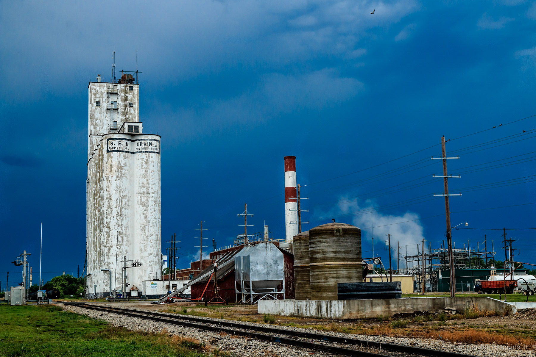
Coffeyville Kansas
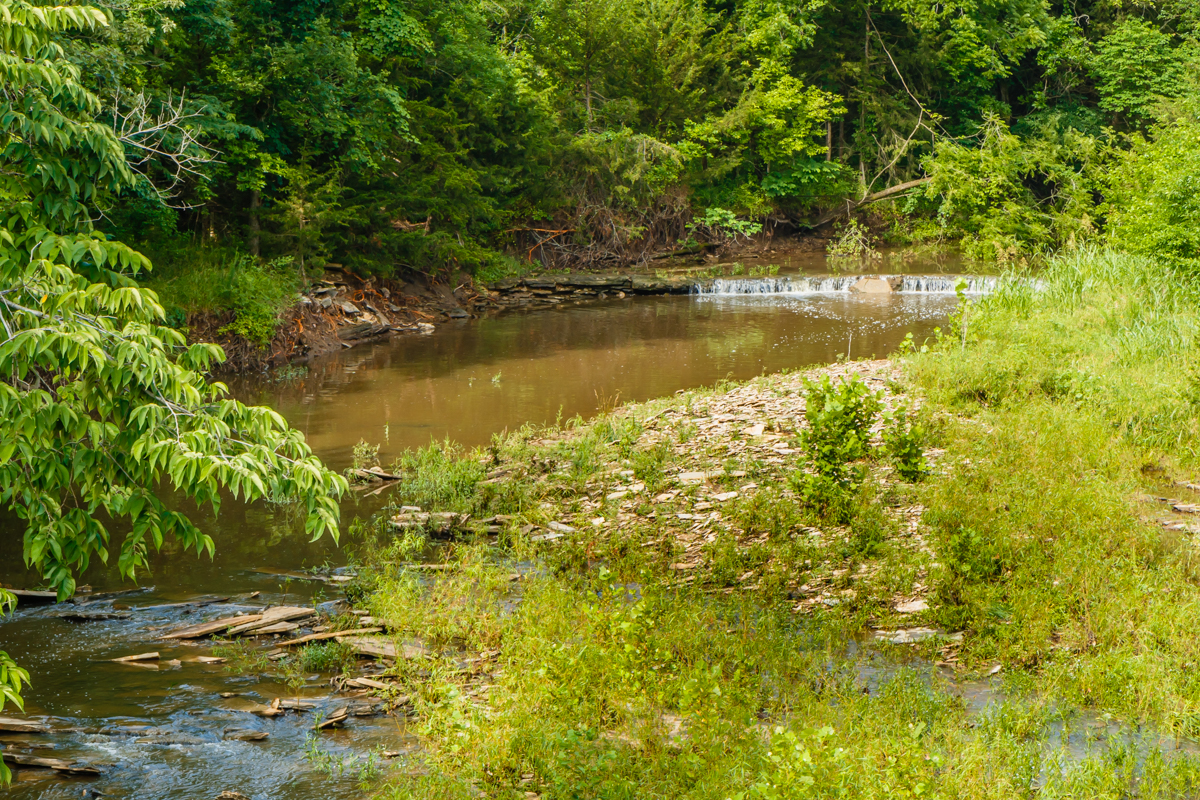
falling water in the woods
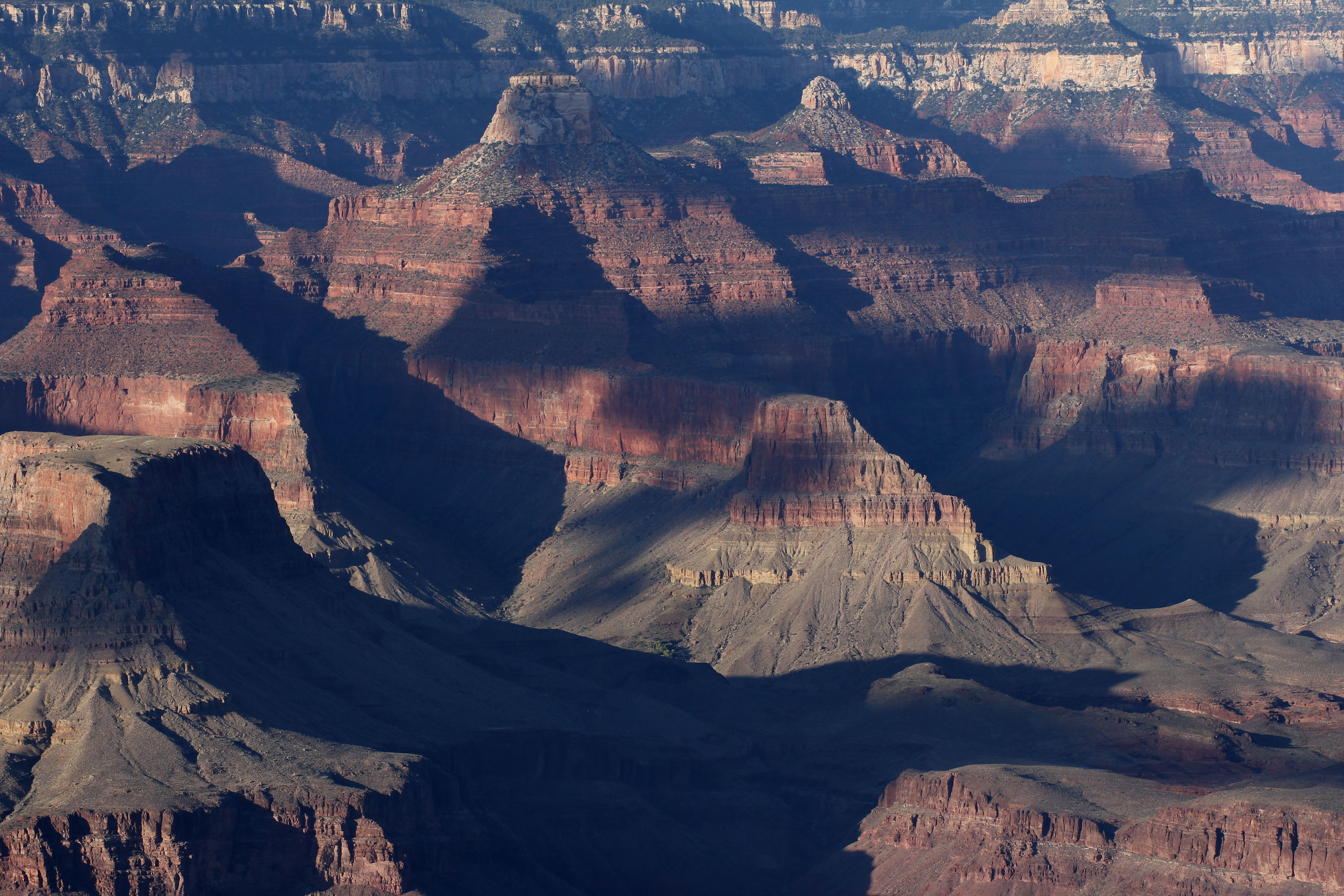
Grand Canyon
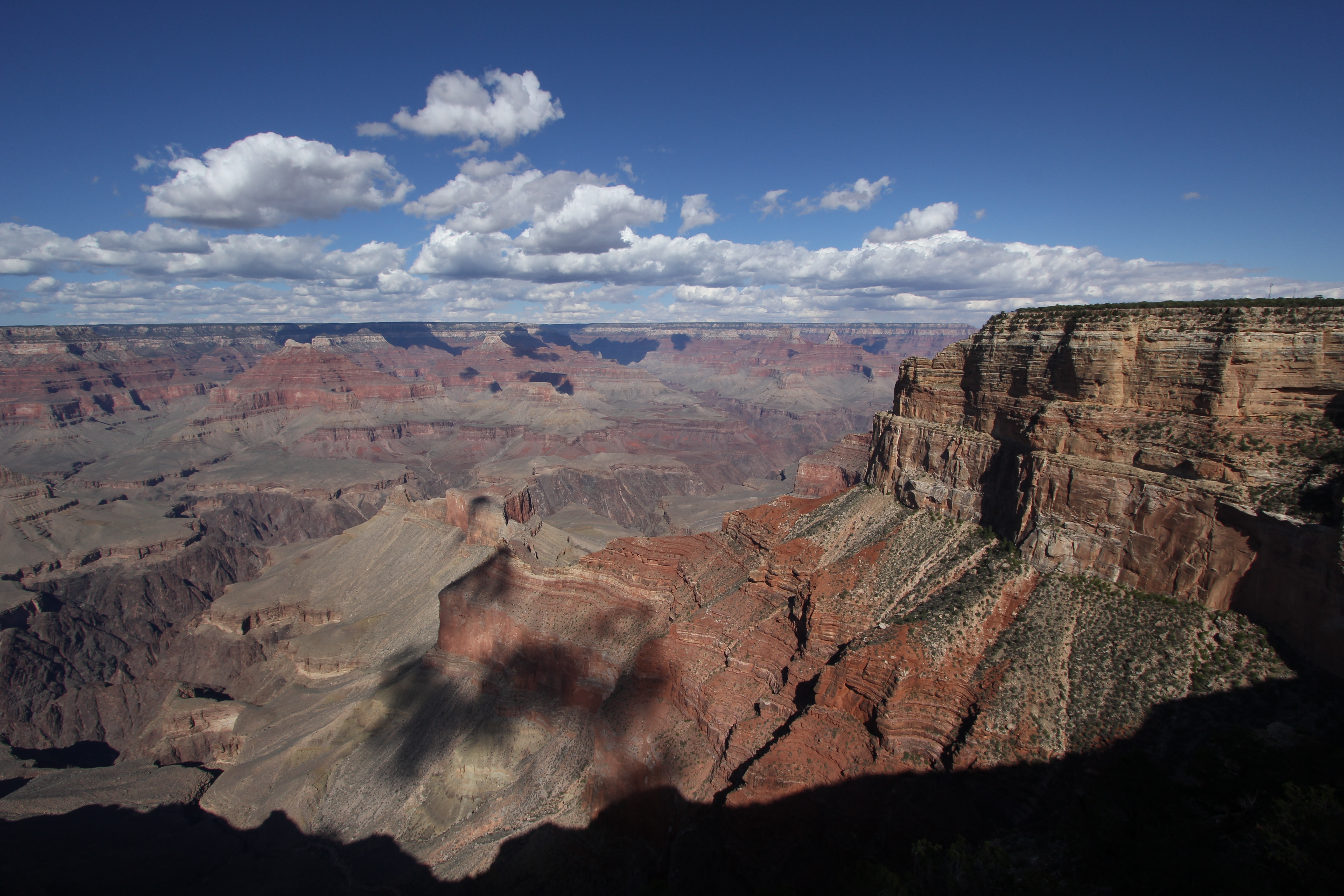
Grand Canyon
Valeda Kansas School
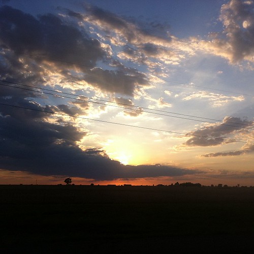
Stateline Sunset

Pumpkin Creek

DSC_0040.JPG
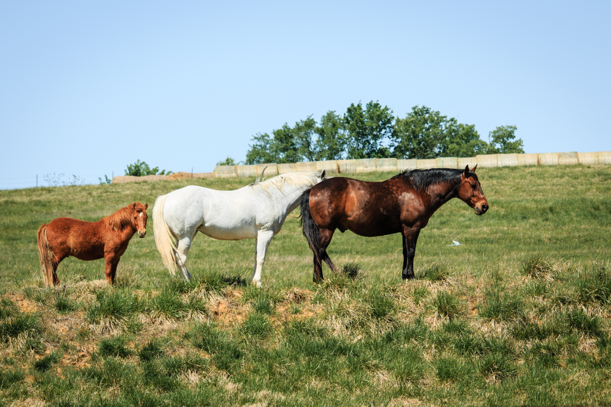
horse family

Restview Cemetery
Topographic Map of Phelps's Hog Heaven, W 11th St, Coffeyville, KS, USA
Find elevation by address:

Places near Phelps's Hog Heaven, W 11th St, Coffeyville, KS, USA:
Mcdonald's
Fourth Street Laundry
First United Methodist Church
Kfc
Utopia
Lanning's Downtown Grill
Superior Head Services
Coffeyville
Coffeyville Area Chamber Of Commerce
Coffeyville Electric Light
Midwest Pregnancy Care Center
Mission Funeral Services
Ross's Bbq Restaurant
Hamilton Equipment Co
400 N Linden St
Riley's Truck Repair
Town Of South Coffeyville
South Coffeyville
Go Natural Llc
Walmart Supercenter
Recent Searches:
- Elevation of Congressional Dr, Stevensville, MD, USA
- Elevation of Bellview Rd, McLean, VA, USA
- Elevation of Stage Island Rd, Chatham, MA, USA
- Elevation of Shibuya Scramble Crossing, 21 Udagawacho, Shibuya City, Tokyo -, Japan
- Elevation of Jadagoniai, Kaunas District Municipality, Lithuania
- Elevation of Pagonija rock, Kranto 7-oji g. 8"N, Kaunas, Lithuania
- Elevation of Co Rd 87, Jamestown, CO, USA
- Elevation of Tenjo, Cundinamarca, Colombia
- Elevation of Côte-des-Neiges, Montreal, QC H4A 3J6, Canada
- Elevation of Bobcat Dr, Helena, MT, USA