Elevation of N Linden St, Coffeyville, KS, USA
Location: United States > Kansas > Montgomery County > Coffeyville >
Longitude: -95.605224
Latitude: 37.0443477
Elevation: 223m / 732feet
Barometric Pressure: 99KPa
Elevation Map:
Satellite Map:
Related Photos:
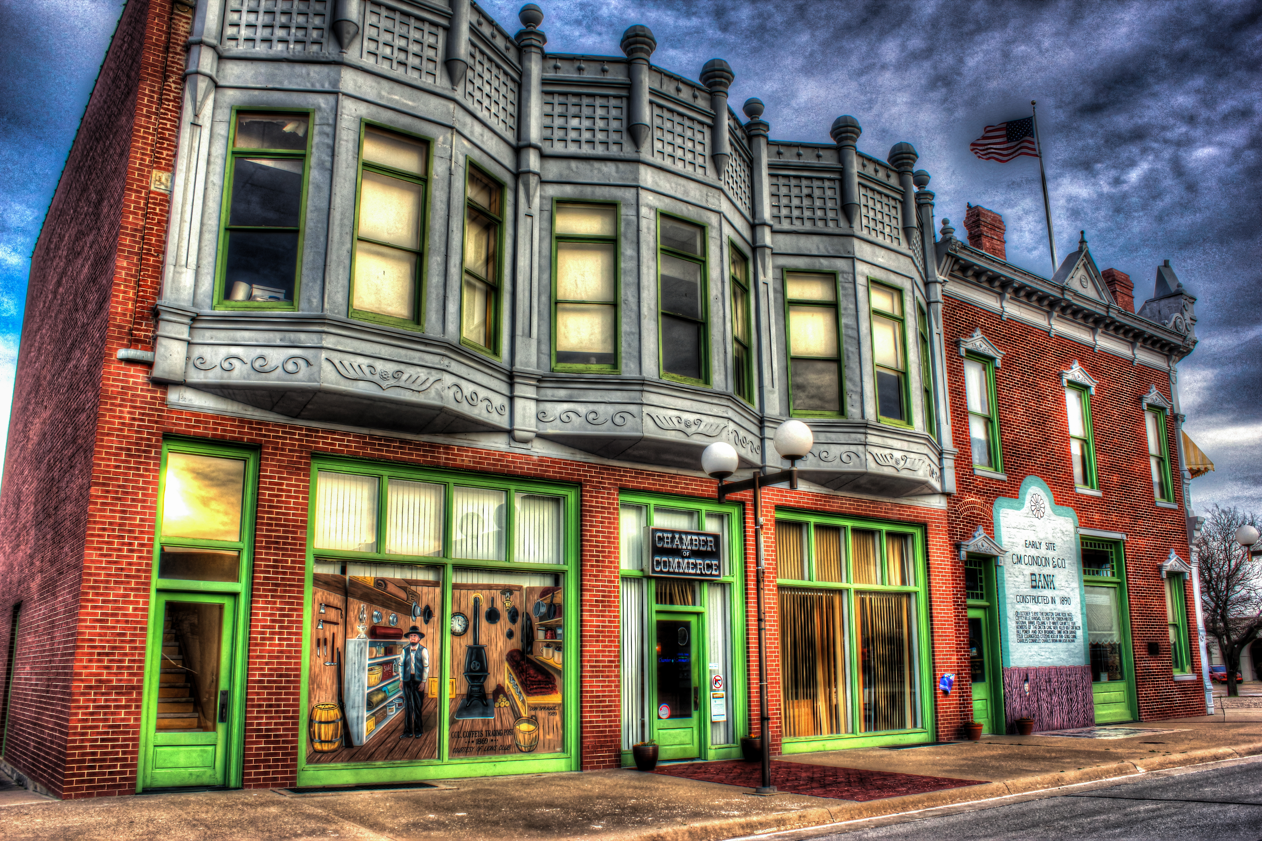
HDR Condon Bank side view
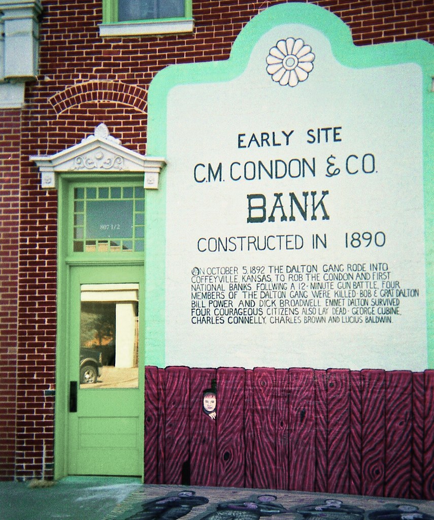
Condon Bank, Coffeyville
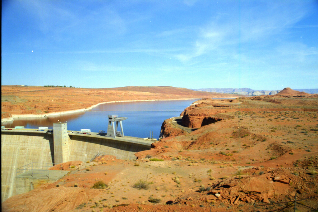
Utah and Travel
Memorial Hospital
Utah and Travel
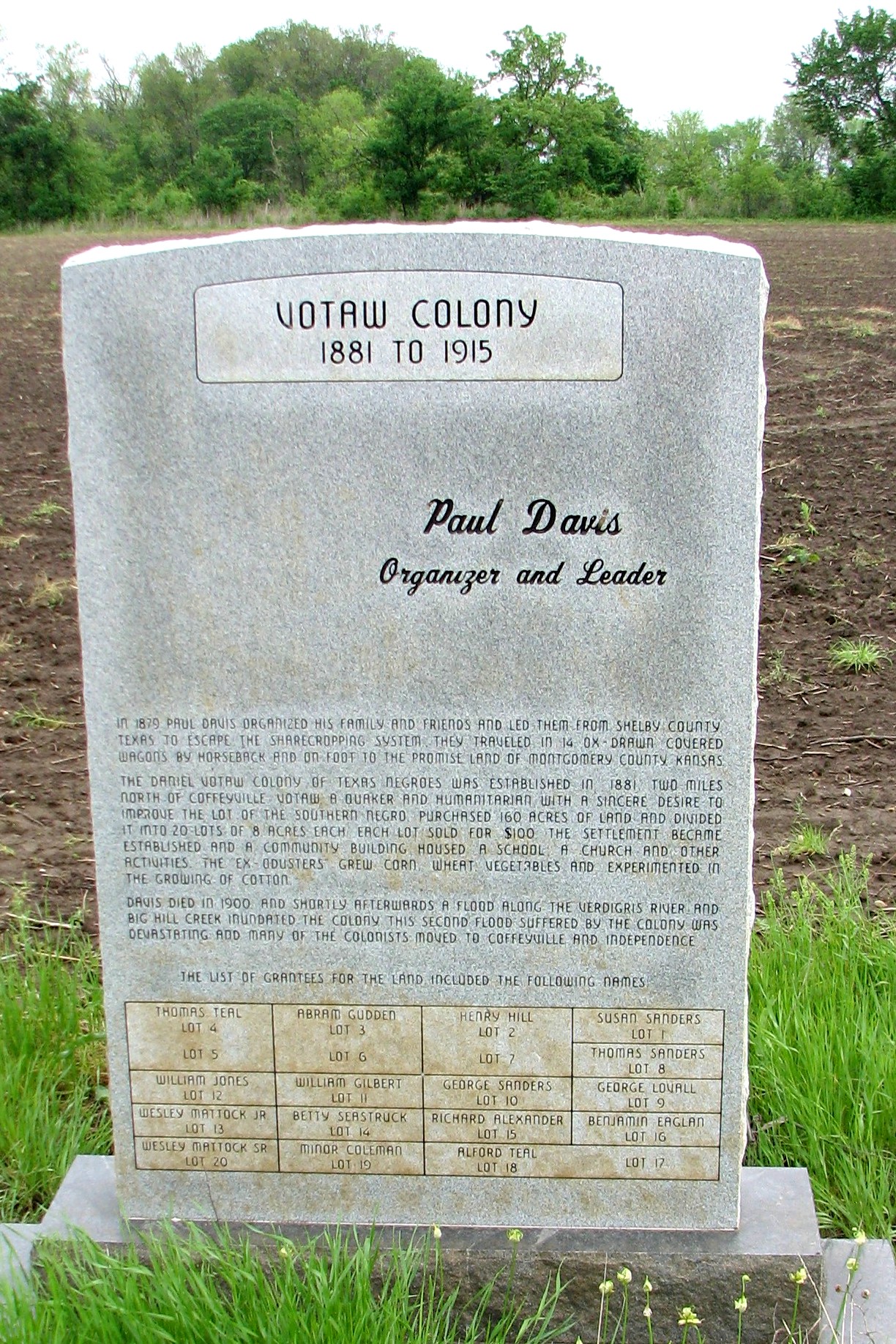
Votaw Colony

Utah and Travel

Verdigris River

unusual rock formation for southeast Kansas

Restview Cemetery
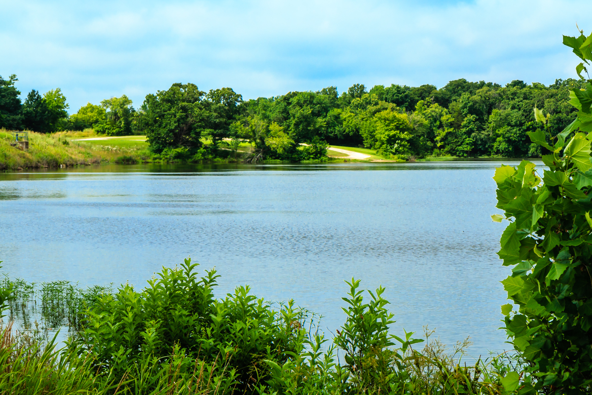
Montgomery State Lake
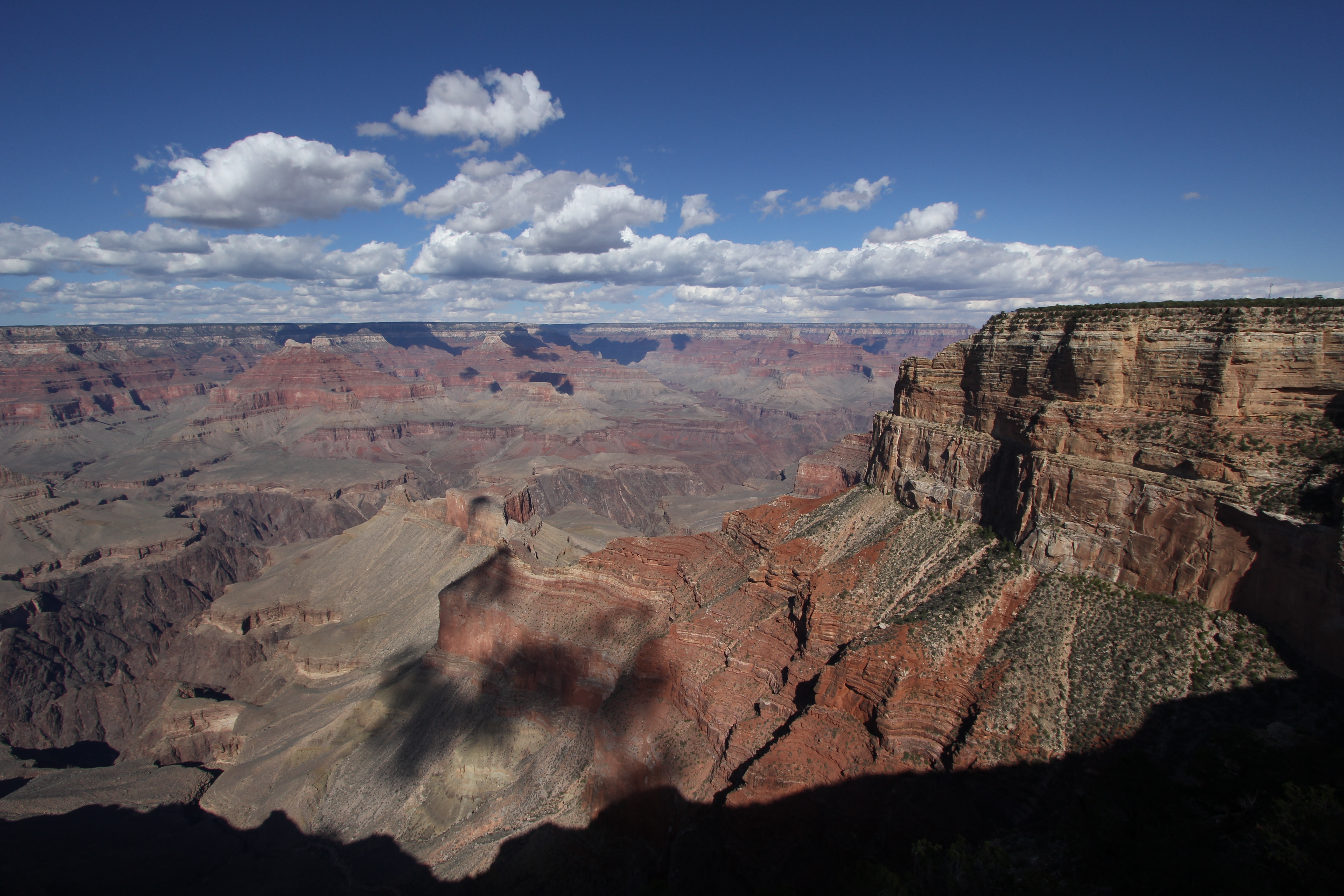
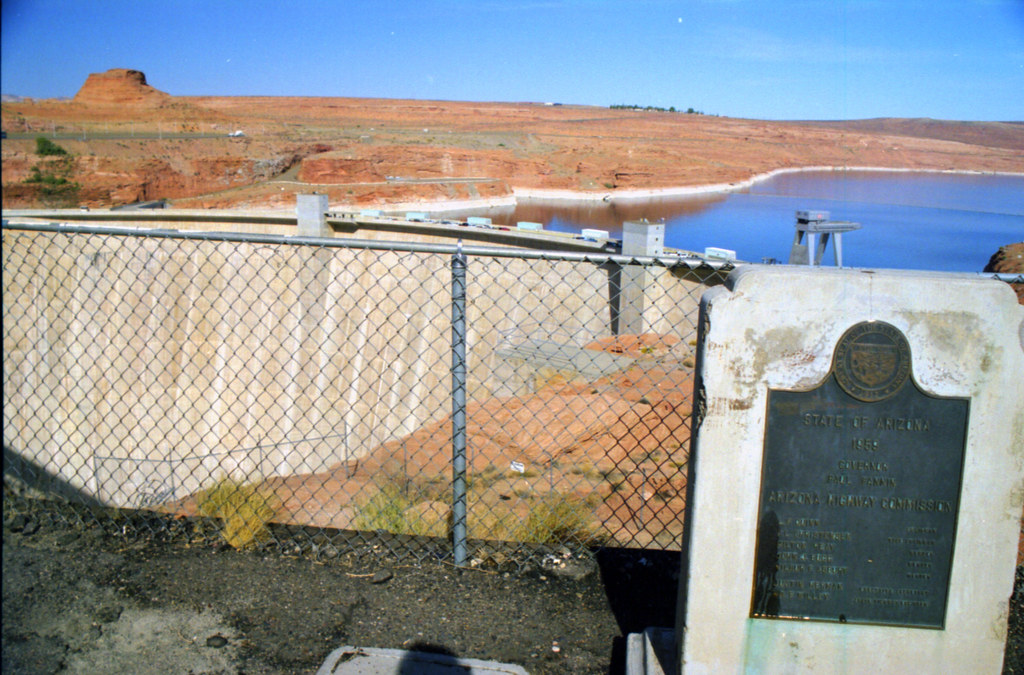
Grand Canyon

Montgomery State Lake

Verdigris River
Topographic Map of N Linden St, Coffeyville, KS, USA
Find elevation by address:

Places near N Linden St, Coffeyville, KS, USA:
Mission Funeral Services
Midwest Pregnancy Care Center
Ross's Bbq Restaurant
Coffeyville Electric Light
Superior Head Services
Coffeyville
Coffeyville Area Chamber Of Commerce
Lanning's Downtown Grill
Utopia
First United Methodist Church
Kfc
Mcdonald's
Fourth Street Laundry
Phelps's Hog Heaven
Walmart Supercenter
Hamilton Equipment Co
Riley's Truck Repair
Logan & Company
Town Of South Coffeyville
South Coffeyville
Recent Searches:
- Elevation of Lytham Ln, Katy, TX, USA
- Elevation of Tater Hill, Oklahoma, USA
- Elevation of NY-, Friendship, NY, USA
- Elevation of 64 Danakas Dr, Winnipeg, MB R2C 5N7, Canada
- Elevation of 4 Vale Rd, Sheffield S3 9QX, UK
- Elevation of Keene Point Drive, Keene Point Dr, Grant, AL, USA
- Elevation of State St, Zanesville, OH, USA
- Elevation of Austin Stone Dr, Haslet, TX, USA
- Elevation of Bydgoszcz, Poland
- Elevation of Bydgoszcz, Poland