Elevation of South Coffeyville, OK, USA
Location: United States > Oklahoma > Nowata County >
Longitude: -95.620255
Latitude: 36.9945248
Elevation: 221m / 725feet
Barometric Pressure: 99KPa
Elevation Map:
Satellite Map:
Related Photos:
Memorial Hospital
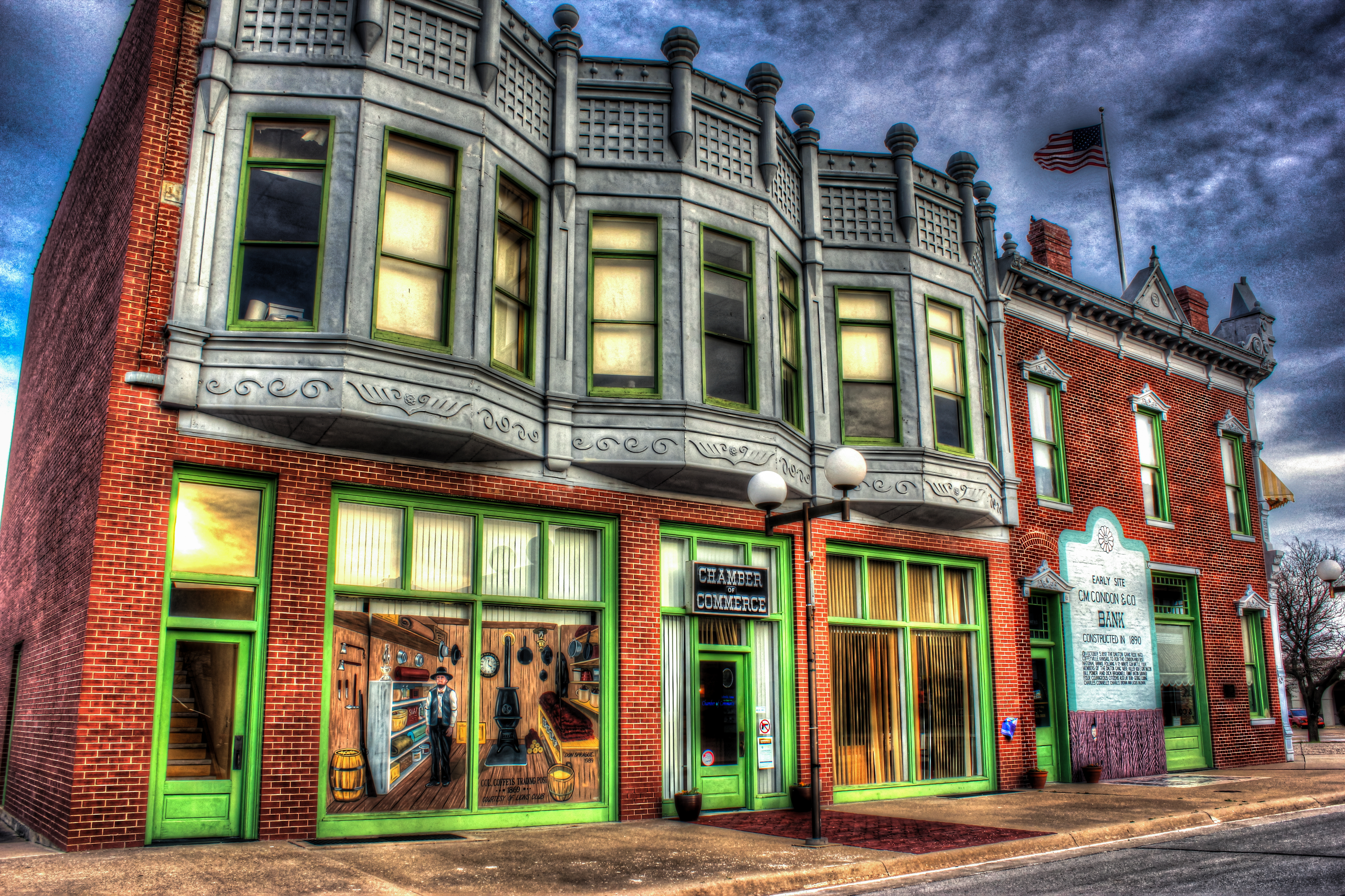
HDR Condon Bank side view
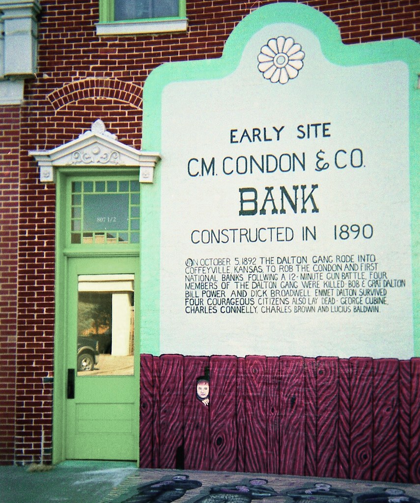
Condon Bank, Coffeyville
Utah and Travel
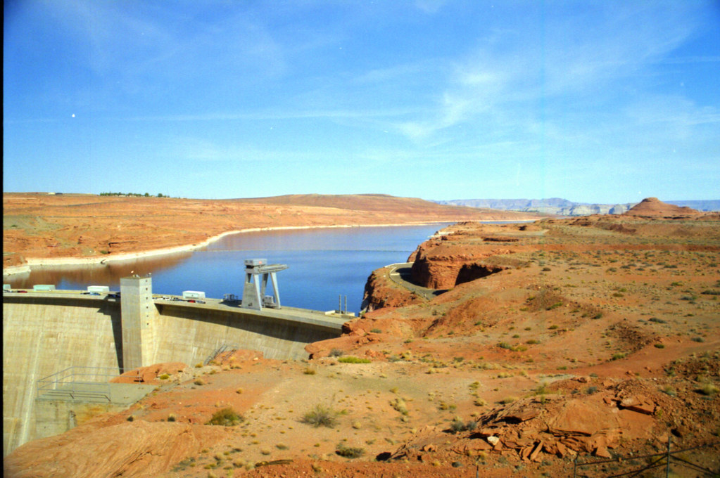
Utah and Travel

Utah and Travel
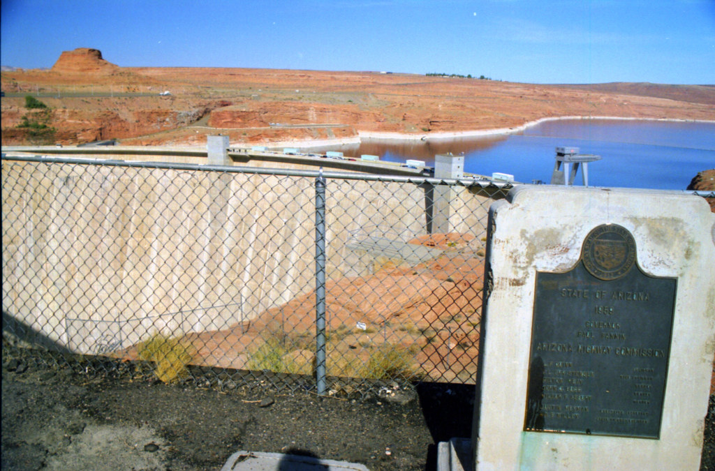
Utah and Travel
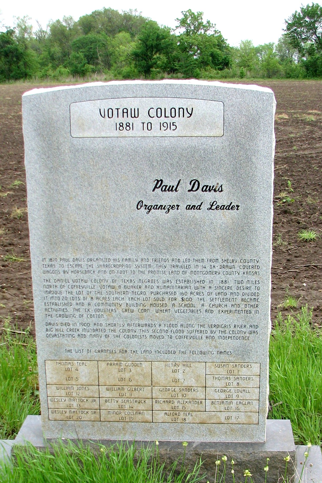
Votaw Colony

Stateline Sunset

Pumpkin Creek
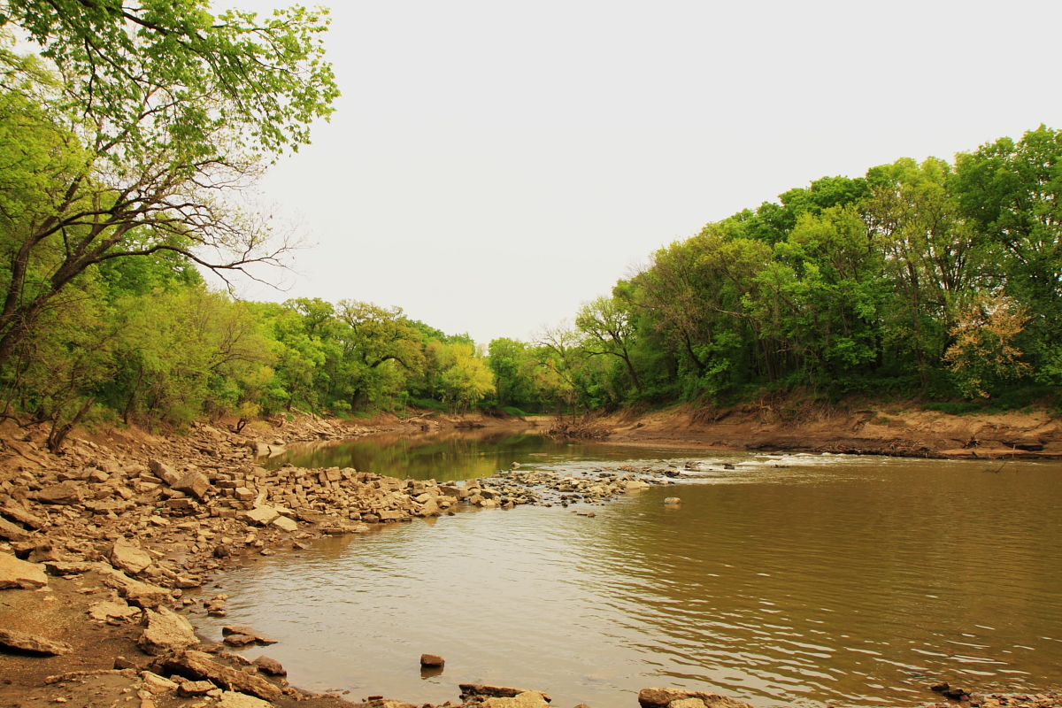
Verdigris River

Restview Cemetery
Topographic Map of South Coffeyville, OK, USA
Find elevation by address:

Places near South Coffeyville, OK, USA:
Town Of South Coffeyville
Go Natural Llc
Riley's Truck Repair
Hamilton Equipment Co
Kfc
Phelps's Hog Heaven
Mcdonald's
First United Methodist Church
Utopia
Lanning's Downtown Grill
Coffeyville Area Chamber Of Commerce
Ross's Bbq Restaurant
Fourth Street Laundry
Coffeyville Electric Light
Superior Head Services
Coffeyville
Midwest Pregnancy Care Center
Mission Funeral Services
400 N Linden St
Walmart Supercenter
Recent Searches:
- Elevation of Rojo Ct, Atascadero, CA, USA
- Elevation of Flagstaff Drive, Flagstaff Dr, North Carolina, USA
- Elevation of Avery Ln, Lakeland, FL, USA
- Elevation of Woolwine, VA, USA
- Elevation of Lumagwas Diversified Farmers Multi-Purpose Cooperative, Lumagwas, Adtuyon, RV32+MH7, Pangantucan, Bukidnon, Philippines
- Elevation of Homestead Ridge, New Braunfels, TX, USA
- Elevation of Orchard Road, Orchard Rd, Marlborough, NY, USA
- Elevation of 12 Hutchinson Woods Dr, Fletcher, NC, USA
- Elevation of Holloway Ave, San Francisco, CA, USA
- Elevation of Norfolk, NY, USA