Elevation of Pepper Rd, Federalsburg, MD, USA
Location: United States > Maryland > Caroline County > 5, Federalsburg > Federalsburg >
Longitude: -75.812596
Latitude: 38.722224
Elevation: 13m / 43feet
Barometric Pressure: 101KPa
Elevation Map:
Satellite Map:
Related Photos:
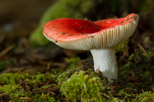
Mushroom - Explored
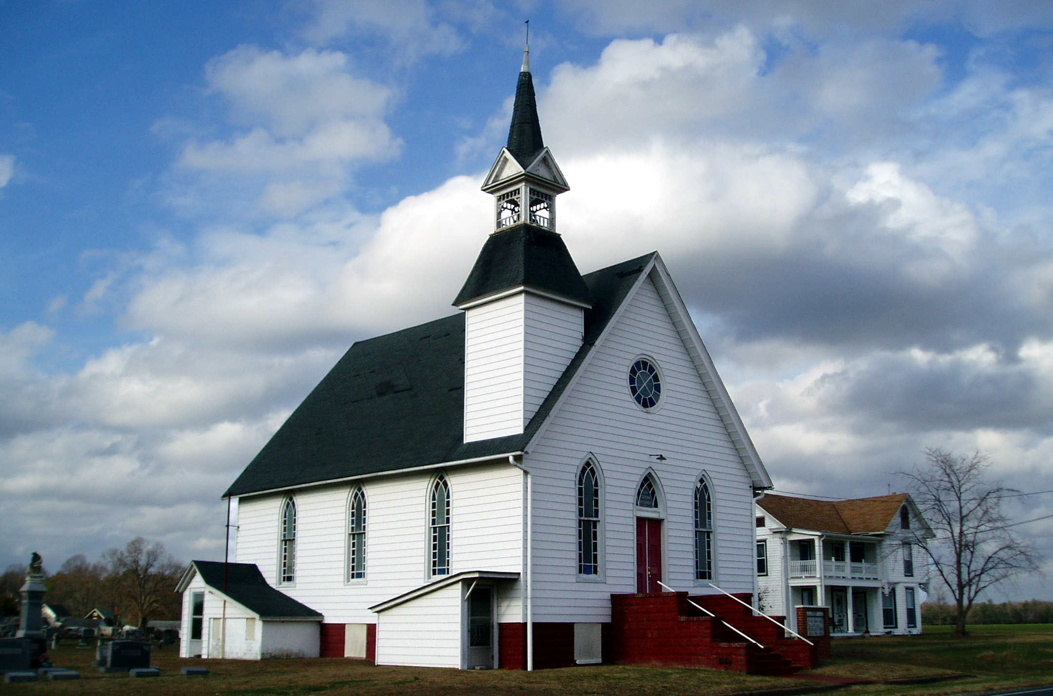
Eldorado U.M. Church
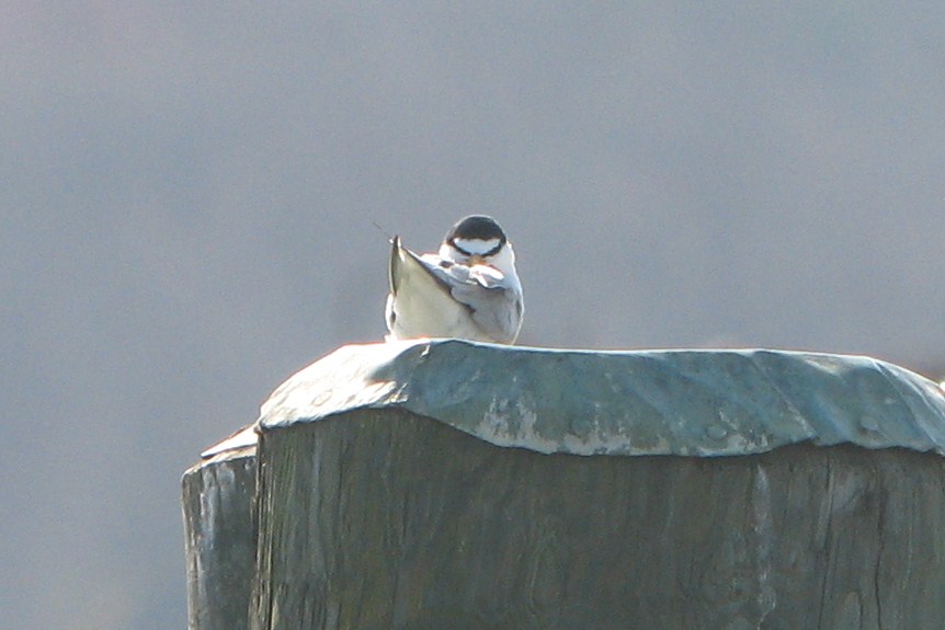
Least Tern
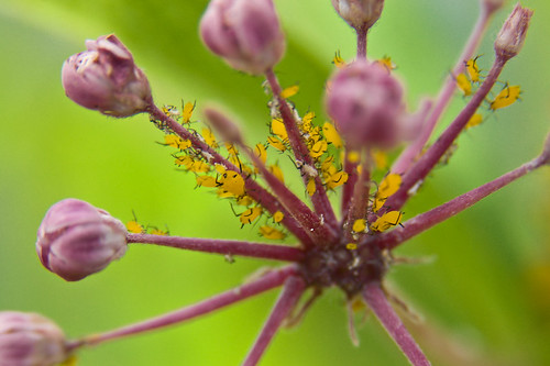
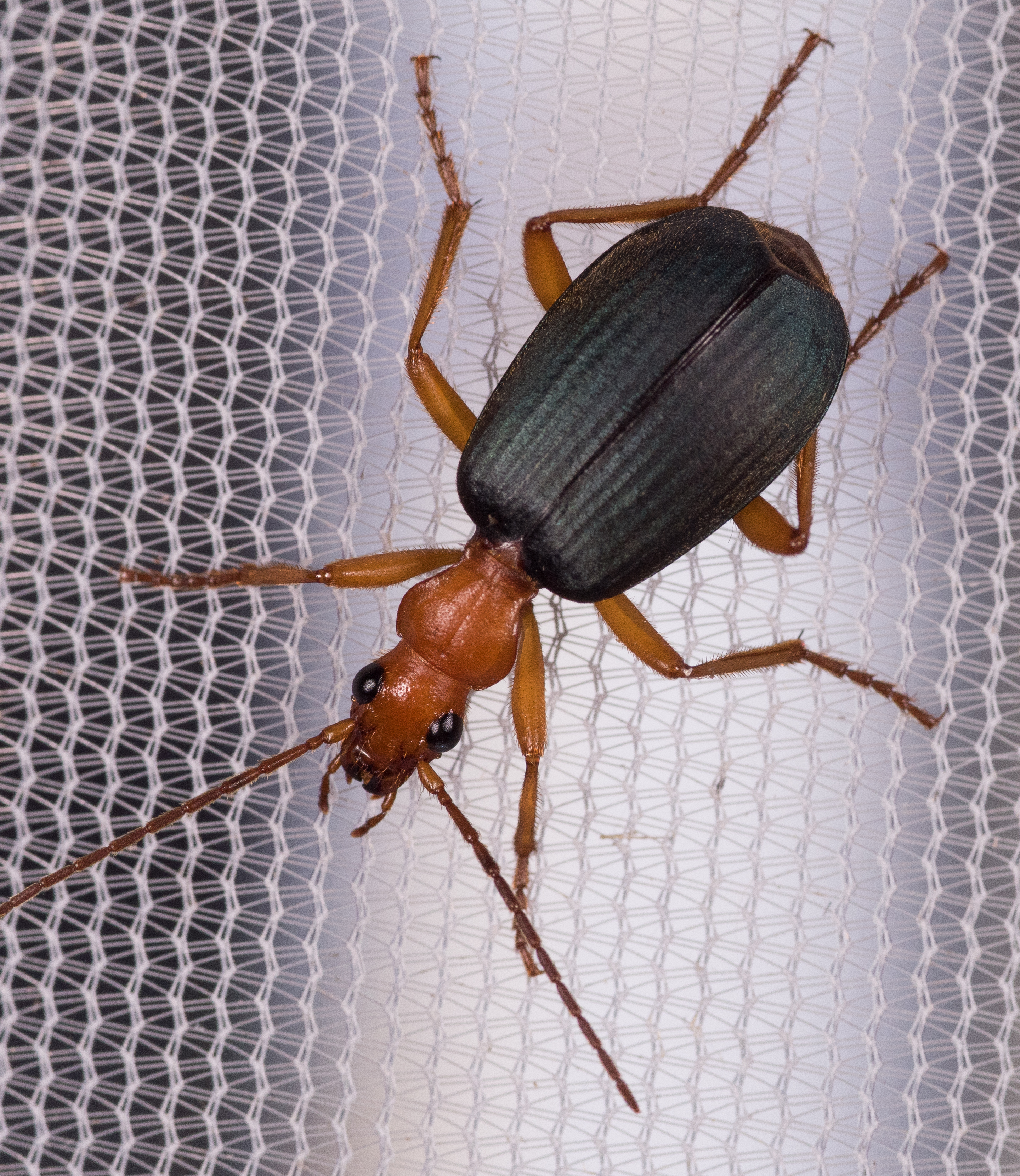
Little Yellow Bugs
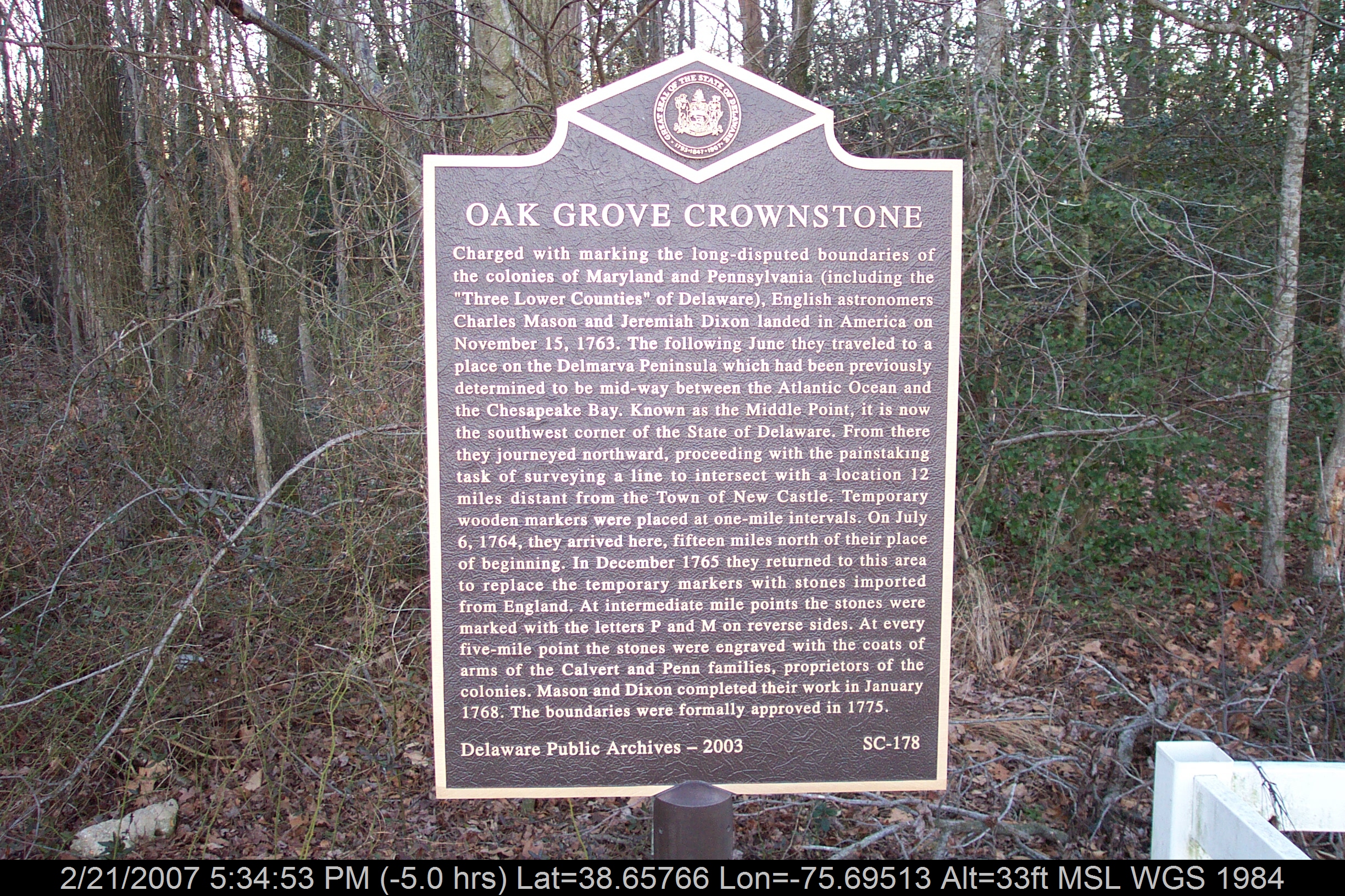
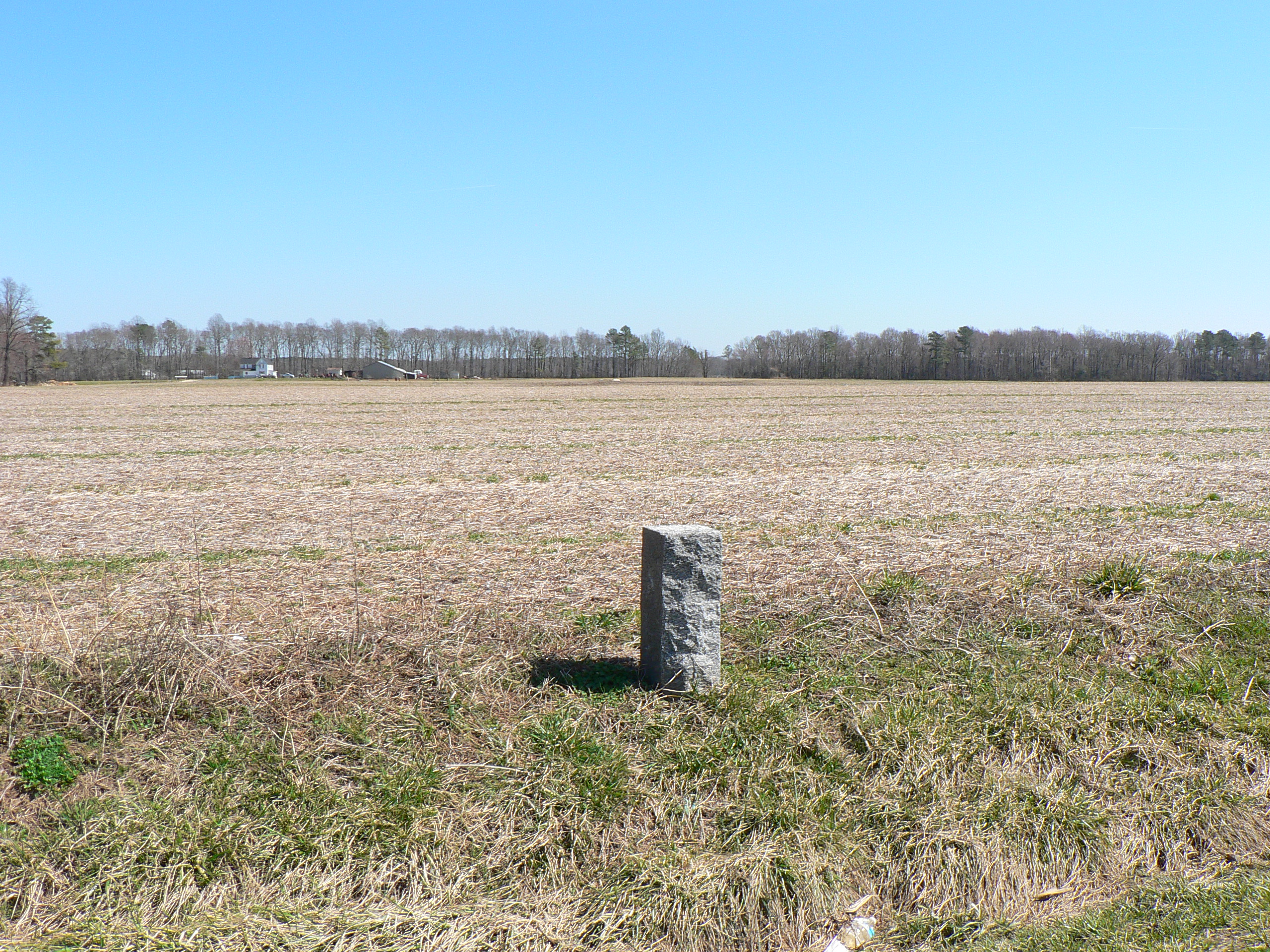
Marker in Sussex County
A birds eye view of major exchange 6
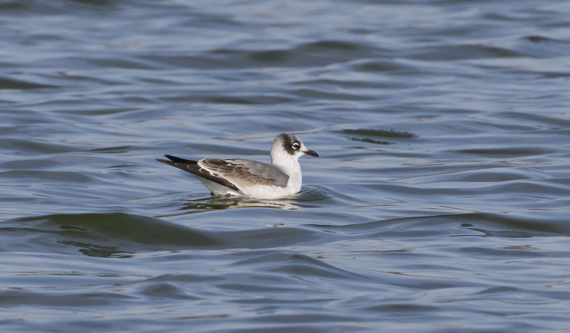
Franklin's Gull - Maryland
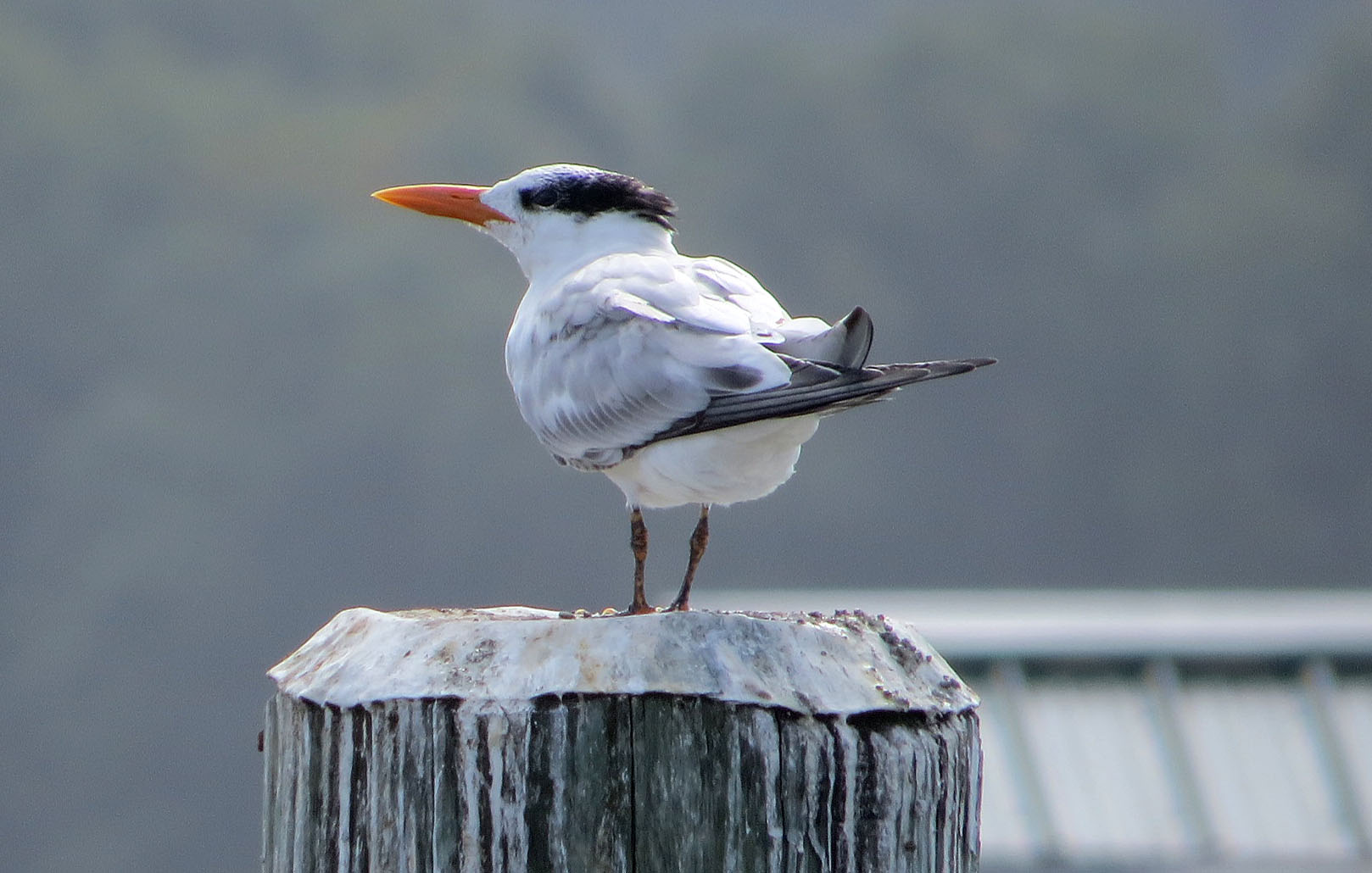
Royal Tern

No Common Name

Waved Light Fly

No Common Name
No Common Name
No Common Name

Tobacco Wireworm

Tylozygus bifidus

No Common Name

No Common Name

Hairy Fungus Beetle

Oriental Beetle
Blind Click Beetle
No Common Name

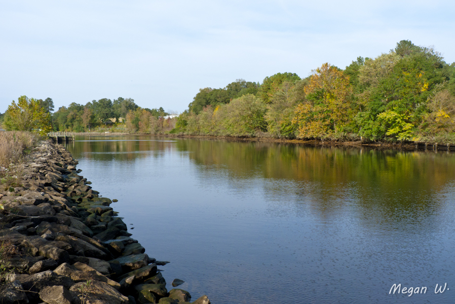
Choptank River

"Crab cakes and football, that's what Maryland does!"

Farmland on the Choptank River

Harriet Tubman Underground Railroad Byway

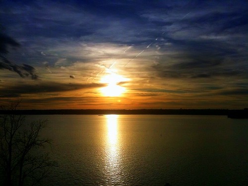
Autumn Sunset
Crack of dawn
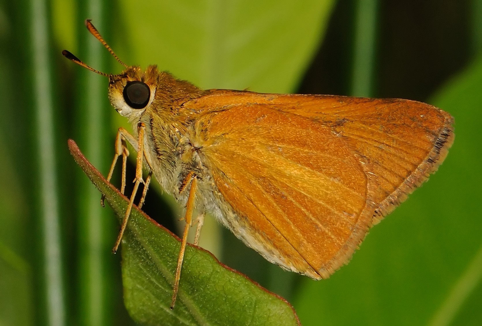
Hindwing with Ray

To Lakeview
Marshy Hope
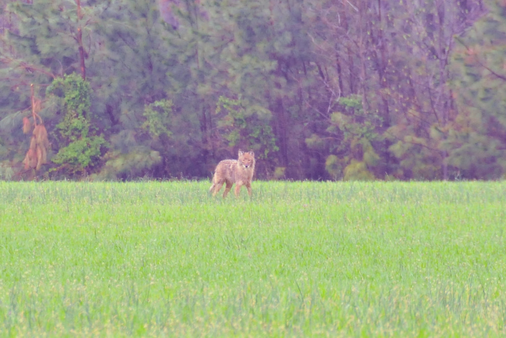
Coyote!

Meditation Point

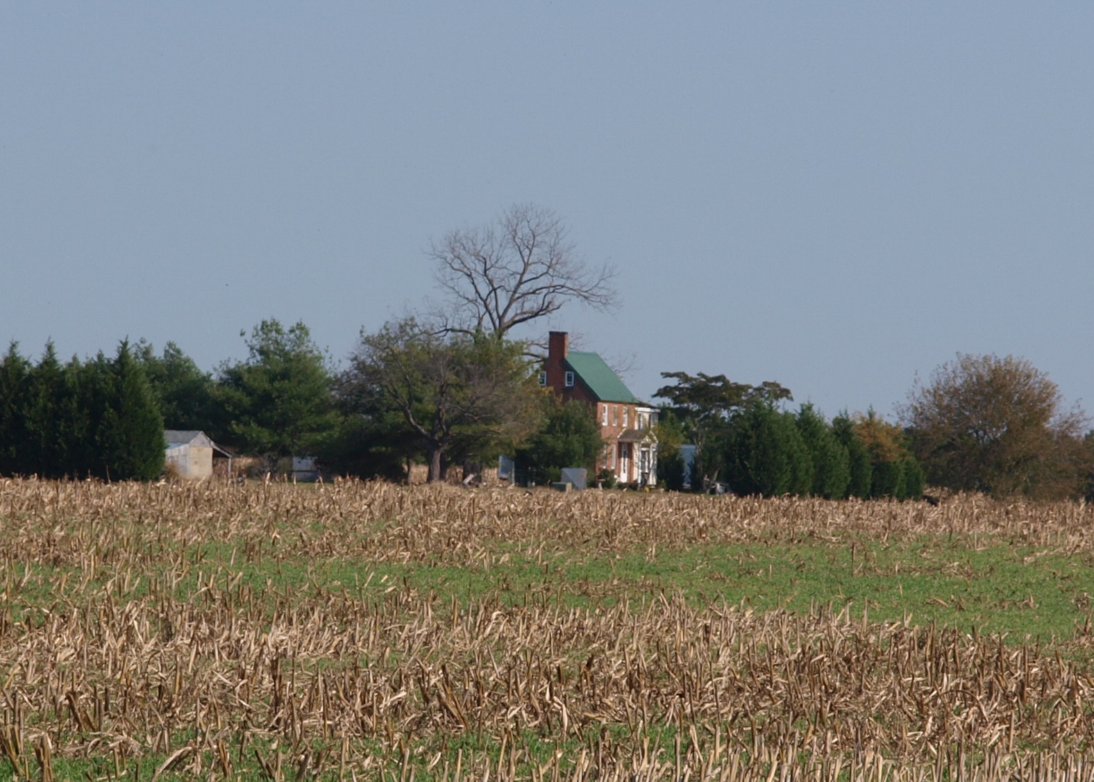
Farmland in Caroline County, Md.
Levenger house, Preston, MD, important stop on the Underground Railroad
liden school road monument

Meditation Point
Topographic Map of Pepper Rd, Federalsburg, MD, USA
Find elevation by address:

Places near Pepper Rd, Federalsburg, MD, USA:
Pepper Road
5, Federalsburg
201 Buena Vista Ave
Federalsburg
Hynson Rd, Federalsburg, MD, USA
251 E Central Ave
12, Williamsburg
Dion Rd, Denton, MD, USA
Hurlock Elwood Rd, Hurlock, MD, USA
Preston
Preston, MD, USA
4, Preston
Mill Creek Ln, Denton, MD, USA
24535 Canninghouse Alley
Hog Creek Rd, Preston, MD, USA
7023 Dawsons Branch Dr
3751 Clagg Rd
New Bridge Rd, Denton, MD, USA
Seashore Hwy, Greenwood, DE, USA
9157 High Banks Dr
Recent Searches:
- Elevation of 72-31 Metropolitan Ave, Middle Village, NY, USA
- Elevation of 76 Metropolitan Ave, Brooklyn, NY, USA
- Elevation of Alisal Rd, Solvang, CA, USA
- Elevation of Vista Blvd, Sparks, NV, USA
- Elevation of 15th Ave SE, St. Petersburg, FL, USA
- Elevation of Beall Road, Beall Rd, Florida, USA
- Elevation of Leguwa, Nepal
- Elevation of County Rd, Enterprise, AL, USA
- Elevation of Kolchuginsky District, Vladimir Oblast, Russia
- Elevation of Shustino, Vladimir Oblast, Russia