Elevation of 12, Williamsburg, MD, USA
Location: United States > Maryland > Dorchester County >
Longitude: -75.841775
Latitude: 38.6731429
Elevation: 13m / 43feet
Barometric Pressure: 101KPa
Elevation Map:
Satellite Map:
Related Photos:

Mushroom - Explored
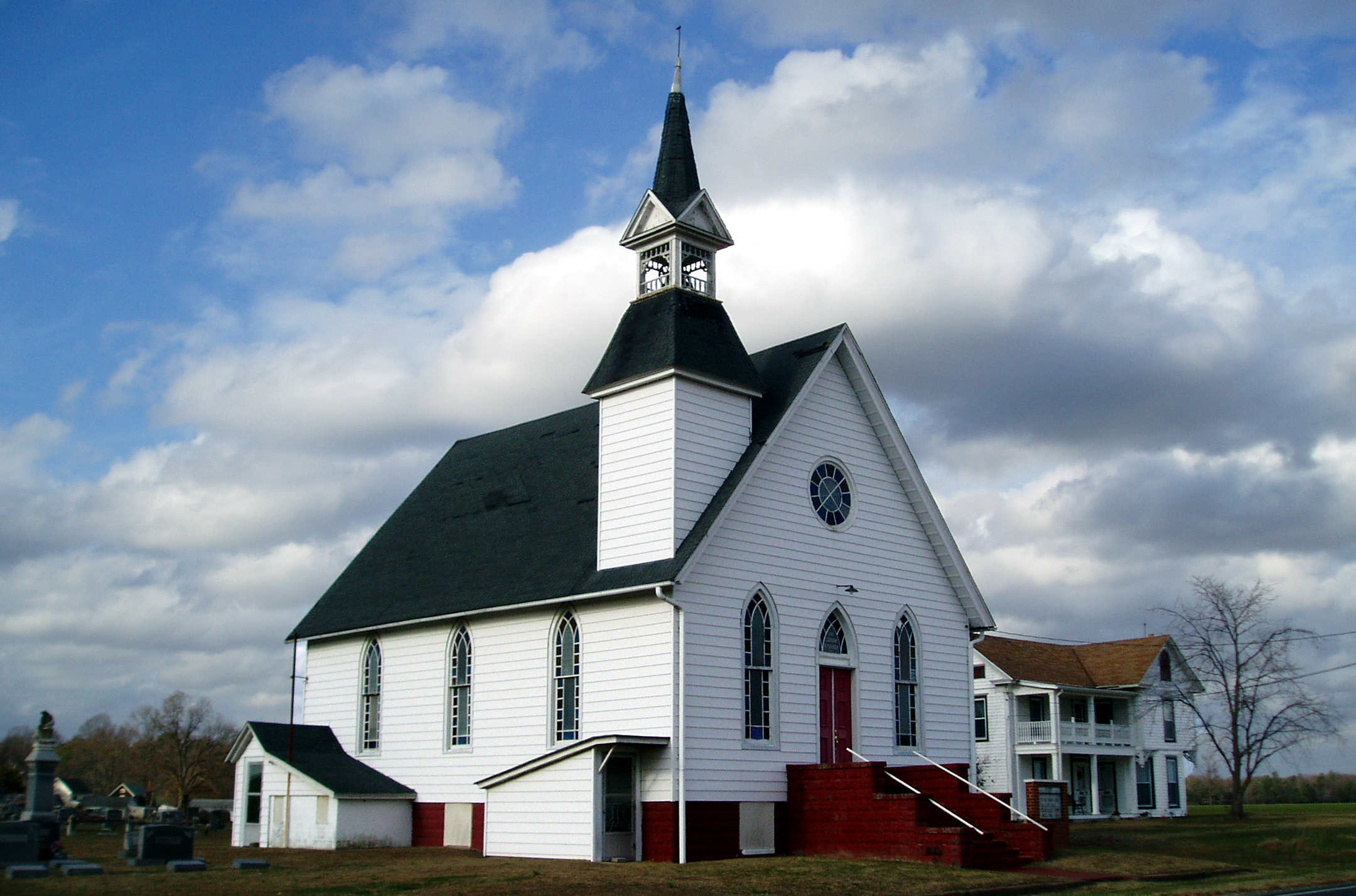
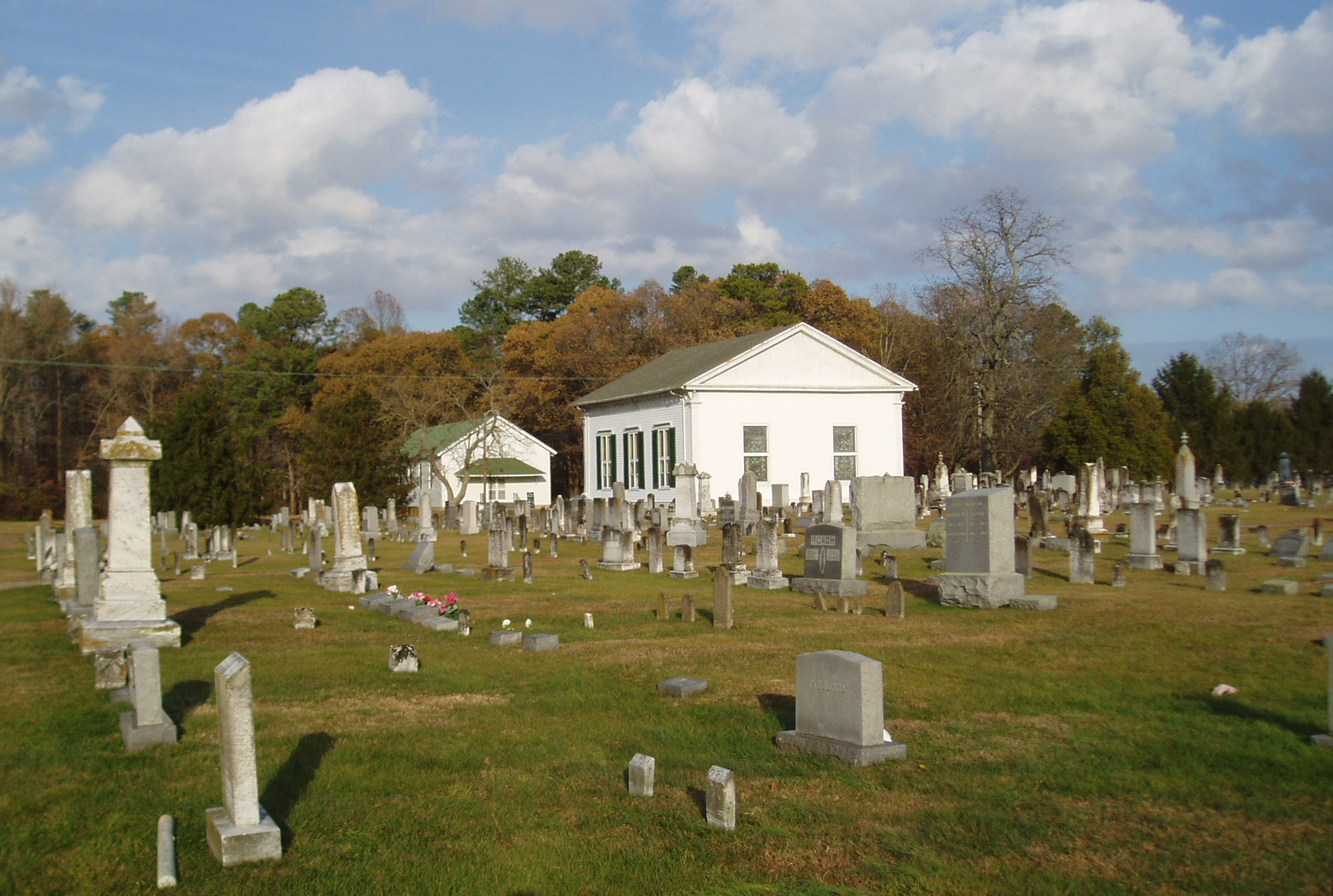
Eldorado U.M. Church

It's Not Pollen

My Favorite Dragonfly
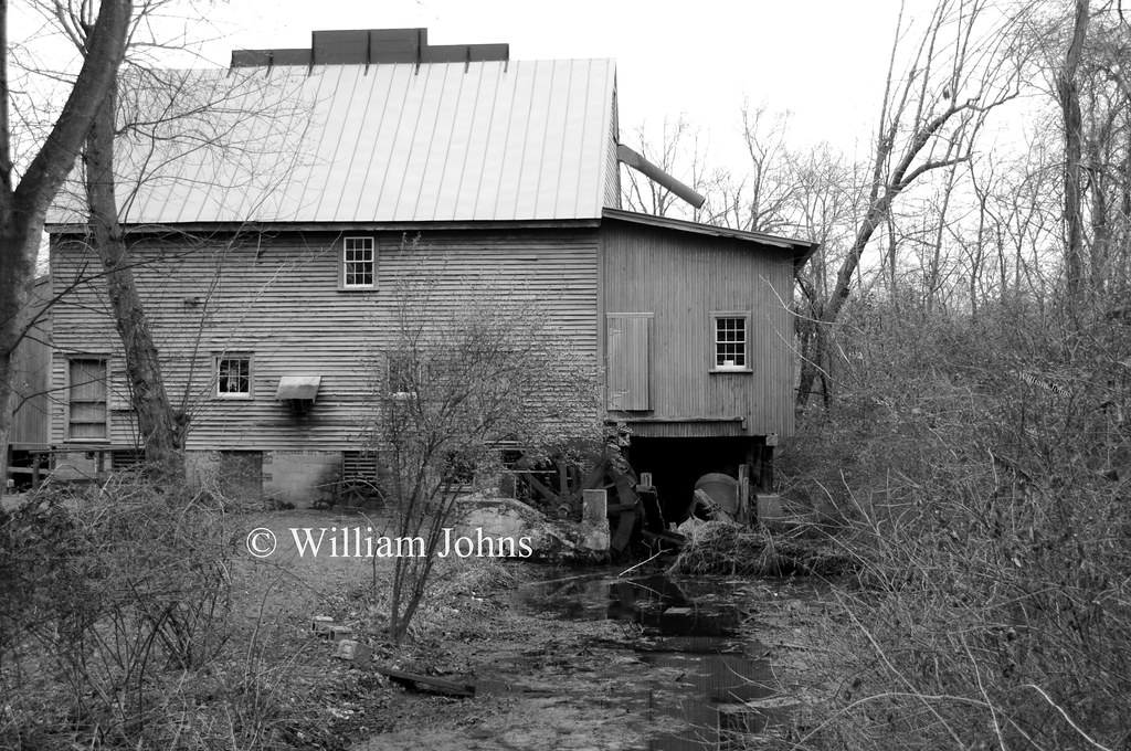
F. S. Langrell Linchester Flouring Mill: Rear View

Apologies to my contacts
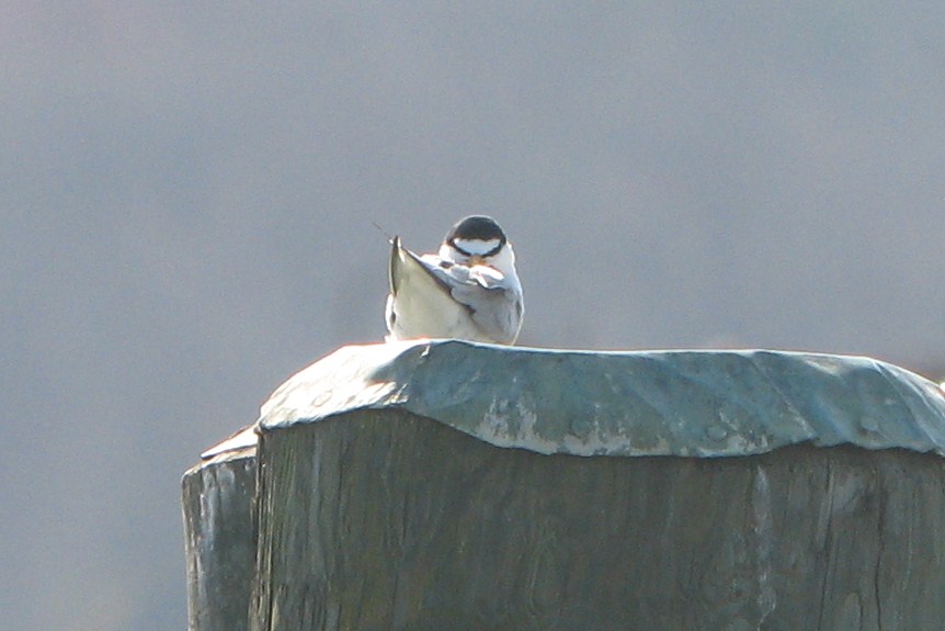
Least Tern

Treestand view

Little Yellow Bugs
Marker in Sussex County
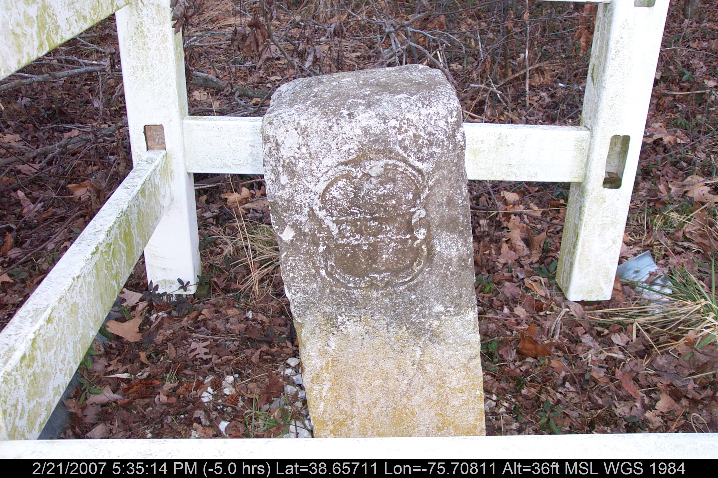
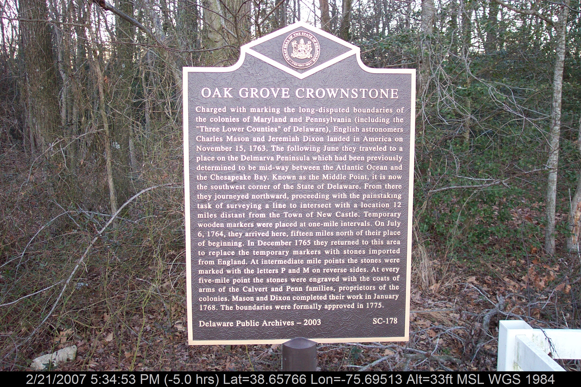
Mason-Dixon Line Marker
Find the Eagle

No Common Name
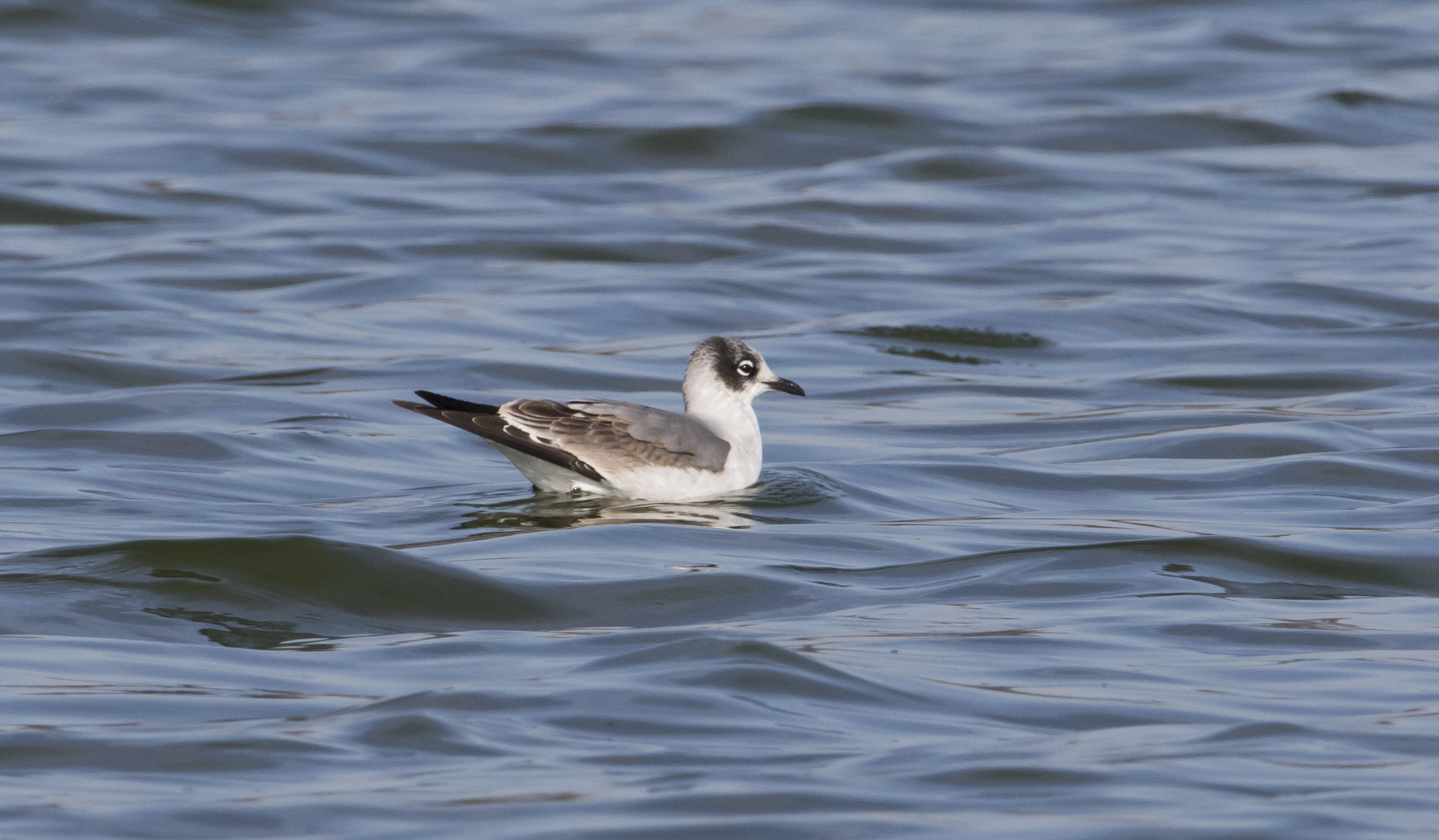
Franklin's Gull - Maryland
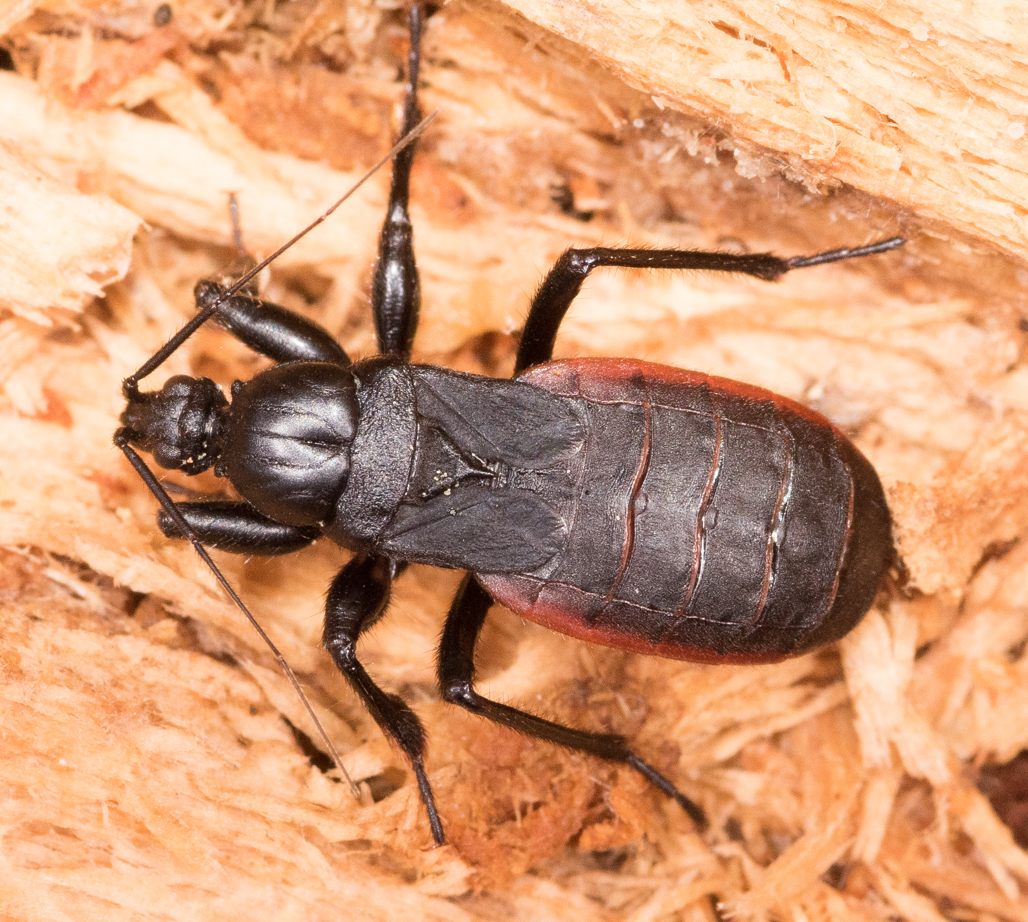
Black Corsair
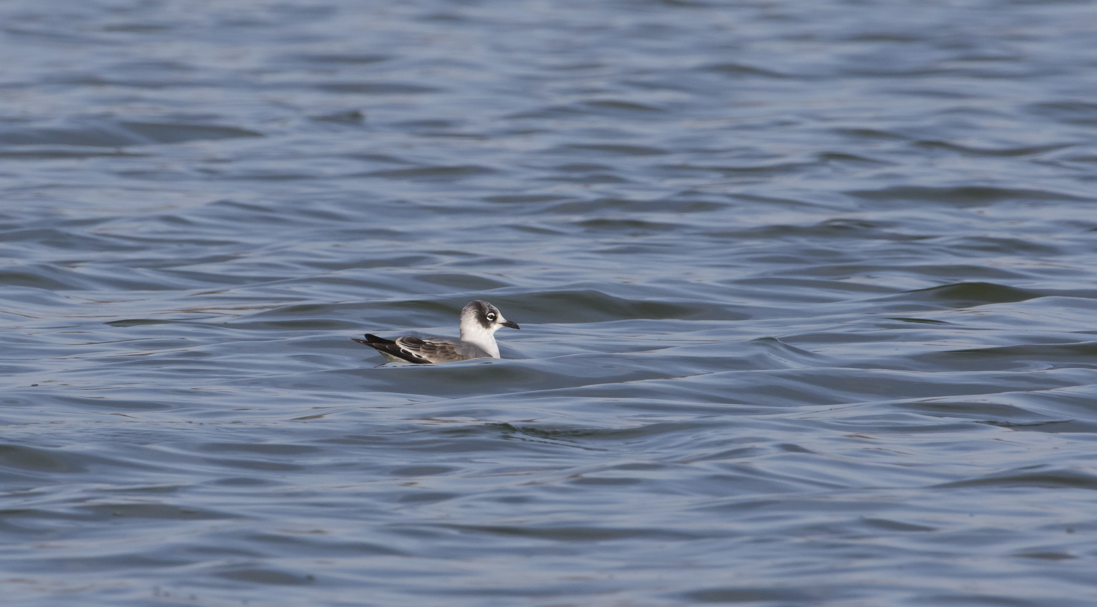
Franklin's Gull - Maryland

Mating Pair of Blind Click Beetles

No Common Name
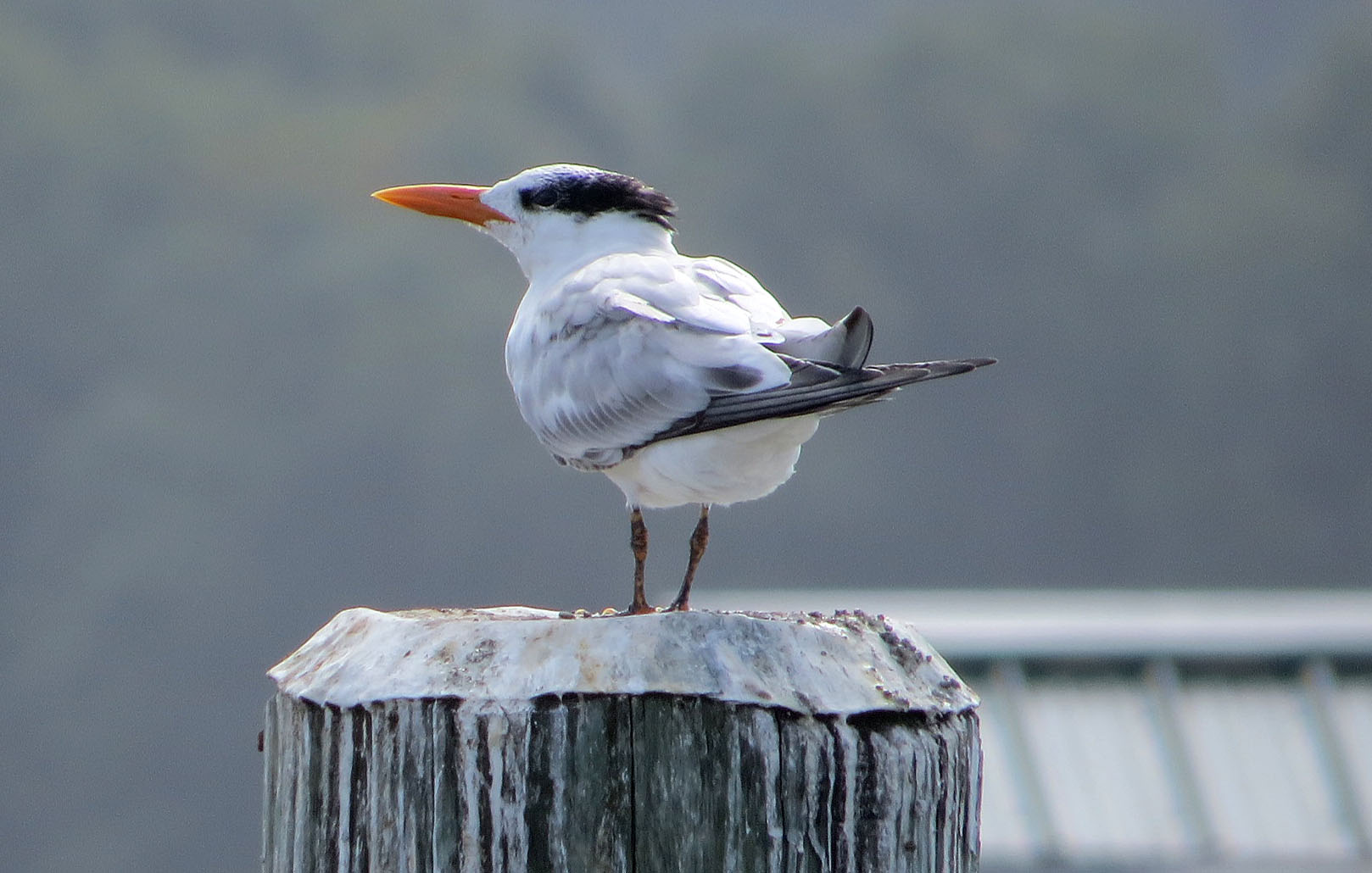
Royal Tern

Pitch-eating Weevil
Blest be the tie that binds...

Harriet Tubman Underground Railroad Byway

Phragmites Marsh And Blue Sky
Morning Bike Ride

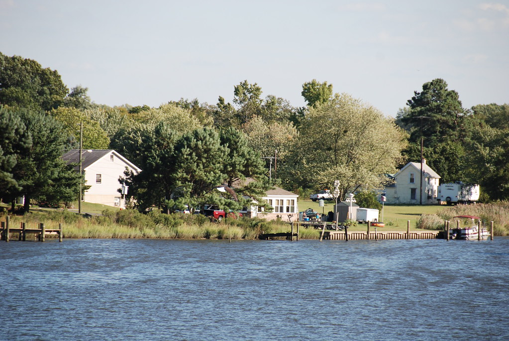
Choptank River Dock
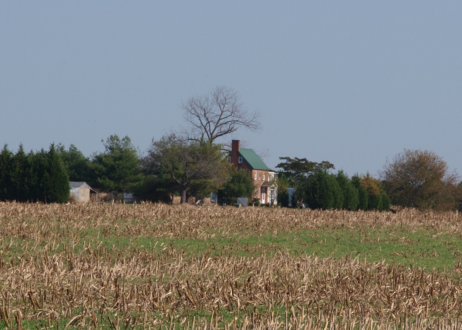
Twilight at the Farm

"Crab cakes and football, that's what Maryland does!"
Morning Bike Ride

Hindwing with Ray

Flying South 313/365
Twilight at the Farm

Choptank Marina In Fall

Twilight at the Farm
Marshy Hope
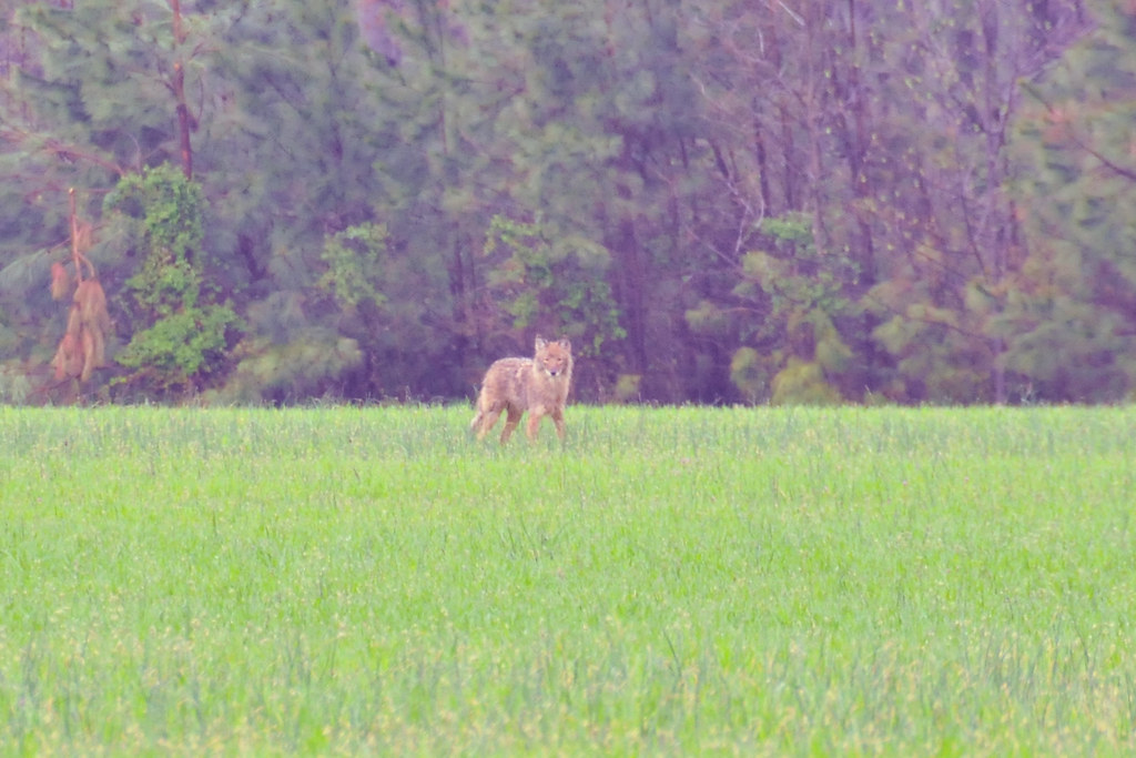
Coyote!
Levenger house, Preston, MD, important stop on the Underground Railroad

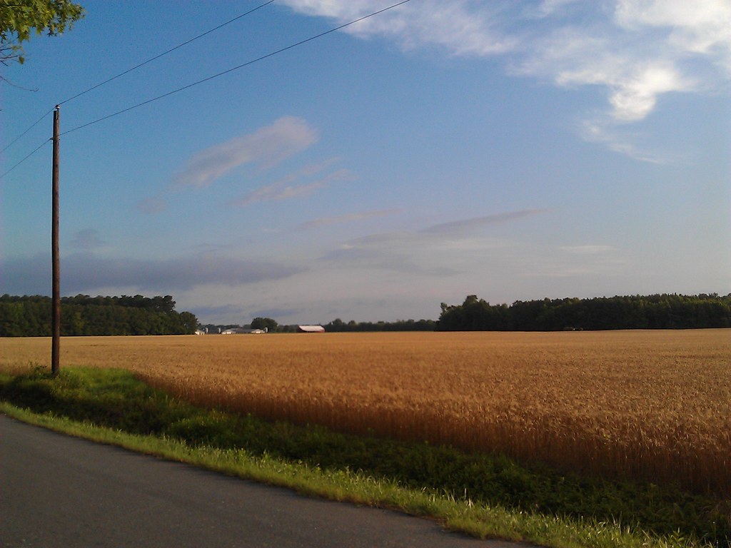
Farmland in Caroline County, Md.

Choptank River

Farmland on the Choptank River

Autumn Sunset
Topographic Map of 12, Williamsburg, MD, USA
Find elevation by address:

Places in 12, Williamsburg, MD, USA:
Places near 12, Williamsburg, MD, USA:
Hynson Rd, Federalsburg, MD, USA
Pepper Road
Hurlock Elwood Rd, Hurlock, MD, USA
Pepper Rd, Federalsburg, MD, USA
201 Buena Vista Ave
Federalsburg
5, Federalsburg
Preston
251 E Central Ave
Preston, MD, USA
4, Preston
Hog Creek Rd, Preston, MD, USA
Dion Rd, Denton, MD, USA
7023 Dawsons Branch Dr
3751 Clagg Rd
9157 High Banks Dr
Mill Creek Ln, Denton, MD, USA
24535 Canninghouse Alley
New Bridge Rd, Denton, MD, USA
Briarhook Rd, Seaford, DE, USA
Recent Searches:
- Elevation of 72-31 Metropolitan Ave, Middle Village, NY, USA
- Elevation of 76 Metropolitan Ave, Brooklyn, NY, USA
- Elevation of Alisal Rd, Solvang, CA, USA
- Elevation of Vista Blvd, Sparks, NV, USA
- Elevation of 15th Ave SE, St. Petersburg, FL, USA
- Elevation of Beall Road, Beall Rd, Florida, USA
- Elevation of Leguwa, Nepal
- Elevation of County Rd, Enterprise, AL, USA
- Elevation of Kolchuginsky District, Vladimir Oblast, Russia
- Elevation of Shustino, Vladimir Oblast, Russia