Elevation of 5, Federalsburg, MD, USA
Location: United States > Maryland > Caroline County >
Longitude: -75.772032
Latitude: 38.7056273
Elevation: 2m / 7feet
Barometric Pressure: 101KPa
Elevation Map:
Satellite Map:
Related Photos:
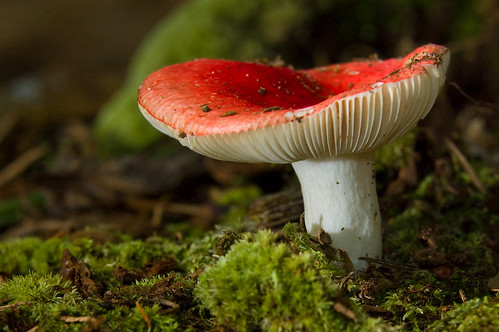
Mushroom - Explored
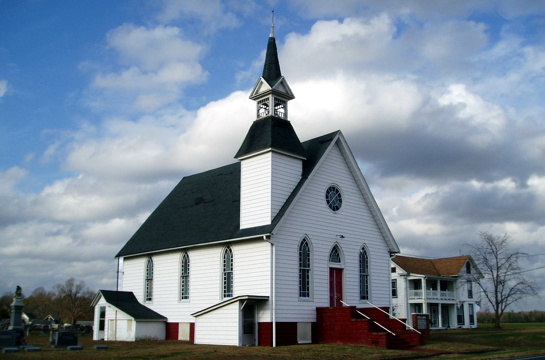
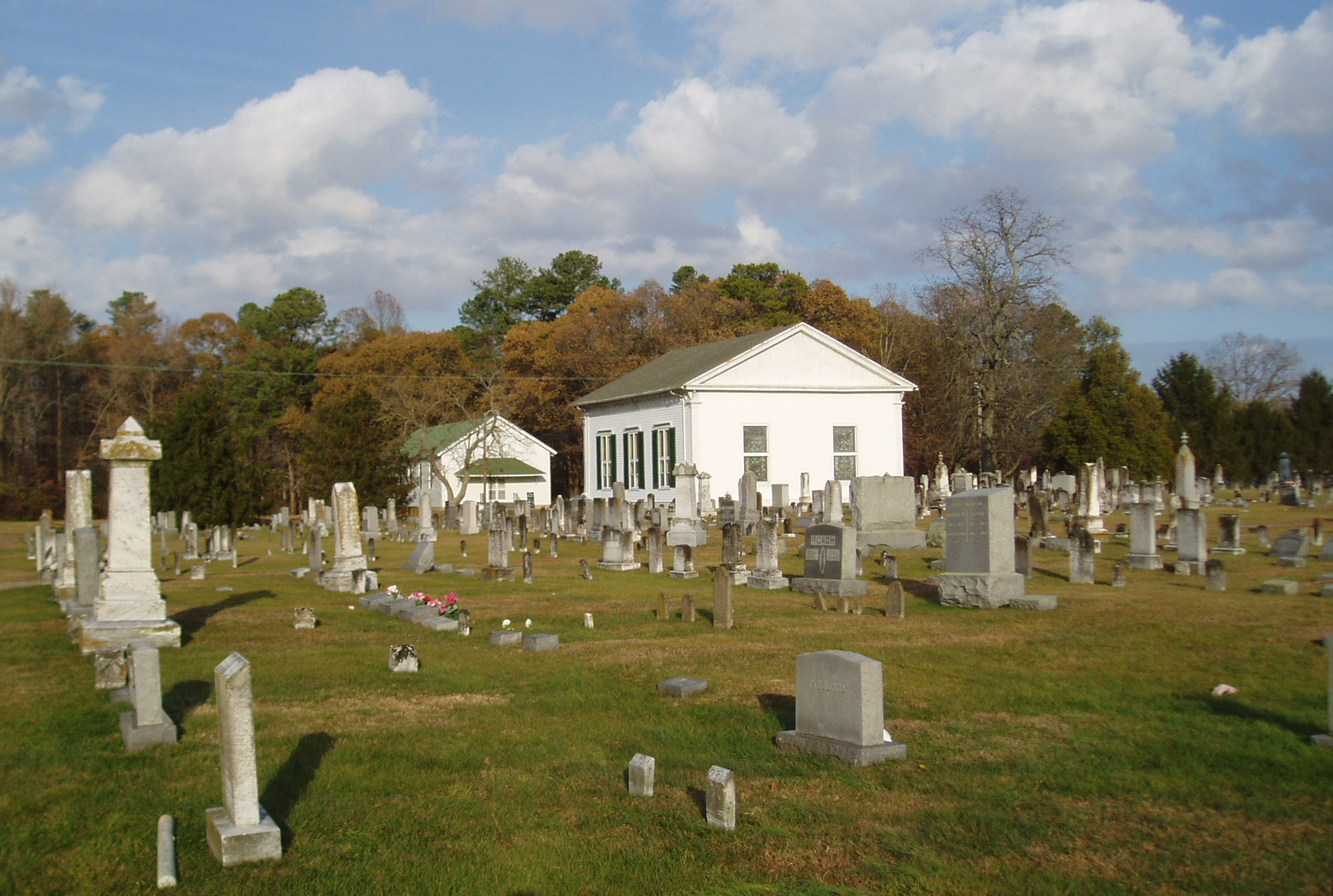
Eldorado U.M. Church

It's Not Pollen

My Favorite Dragonfly
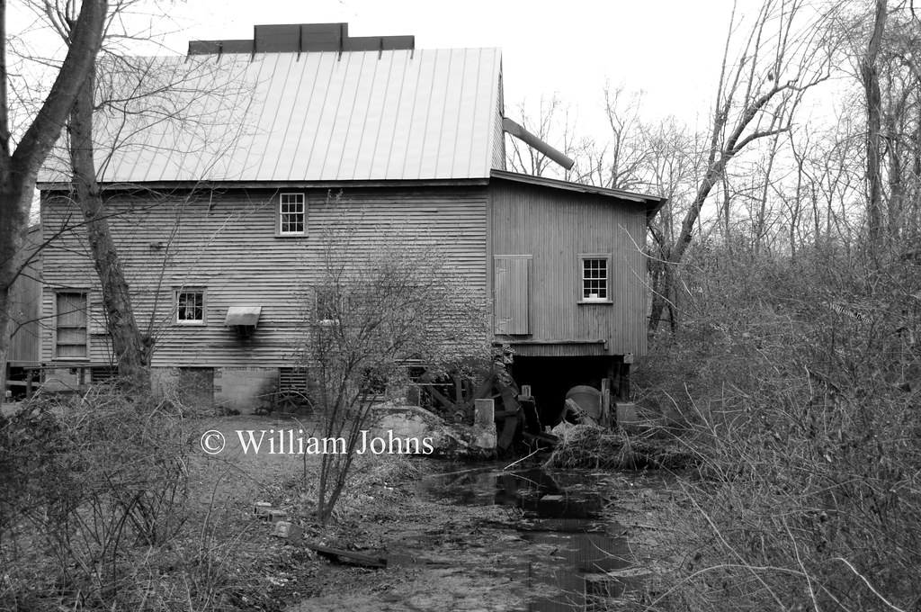
F. S. Langrell Linchester Flouring Mill: Rear View

Apologies to my contacts
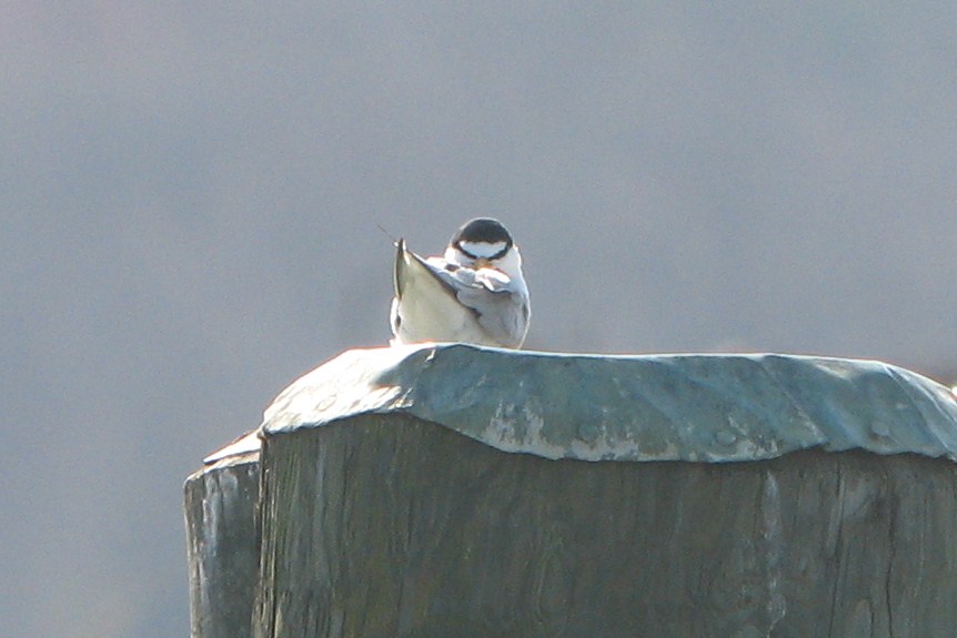
Least Tern
Treestand view
Blest be the tie that binds...

Little Yellow Bugs
Marker in Sussex County
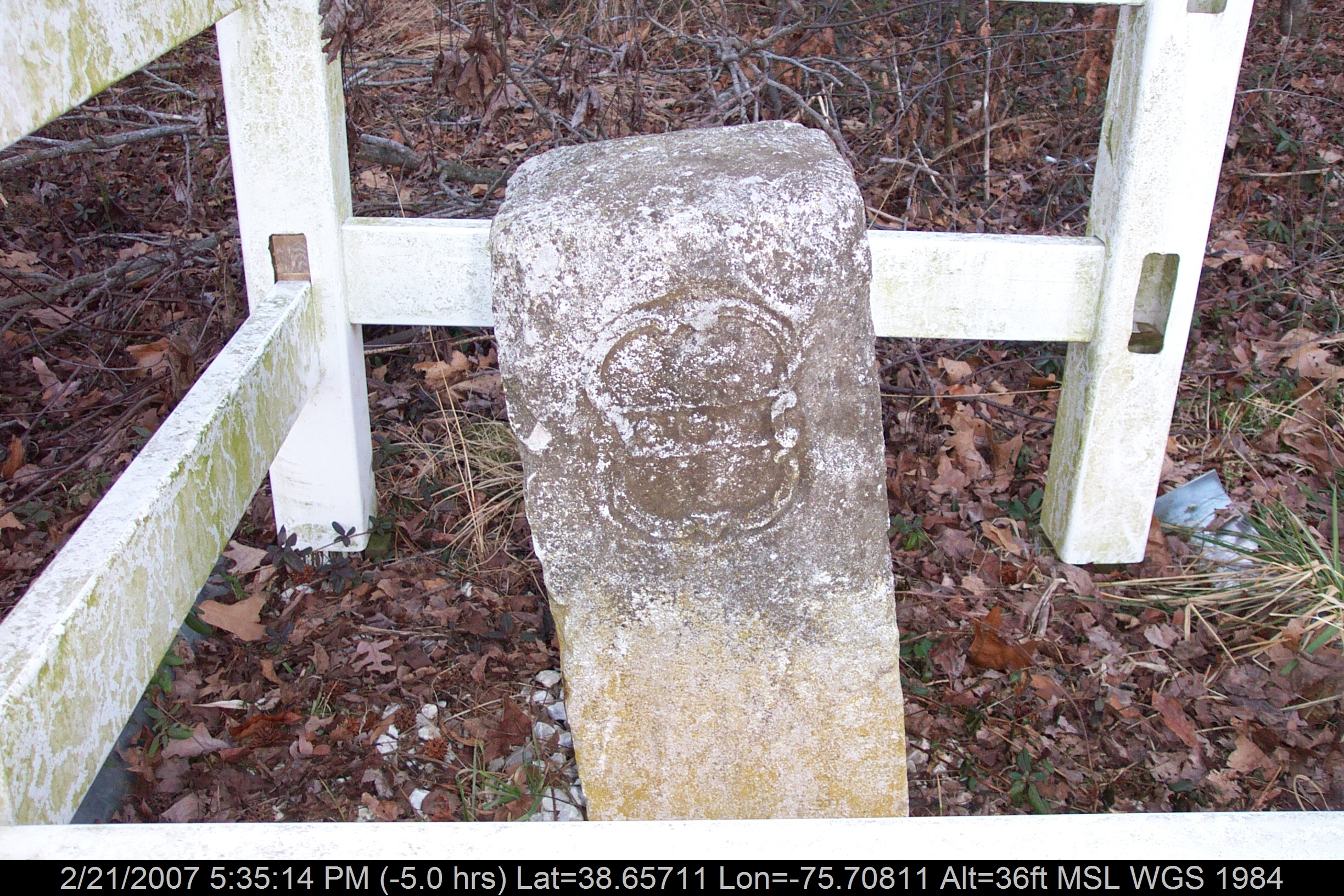
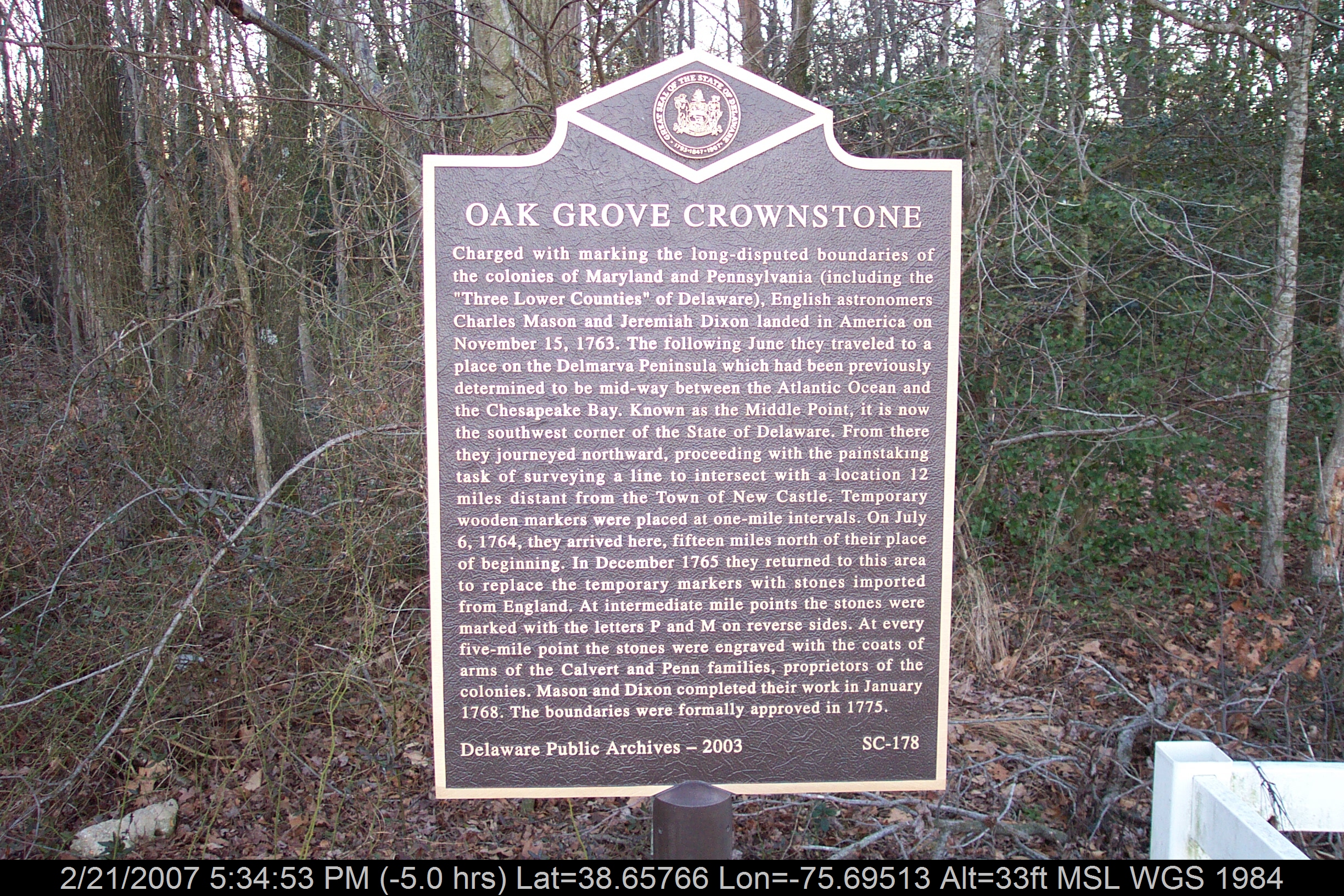
Mason-Dixon Line Marker

No Common Name
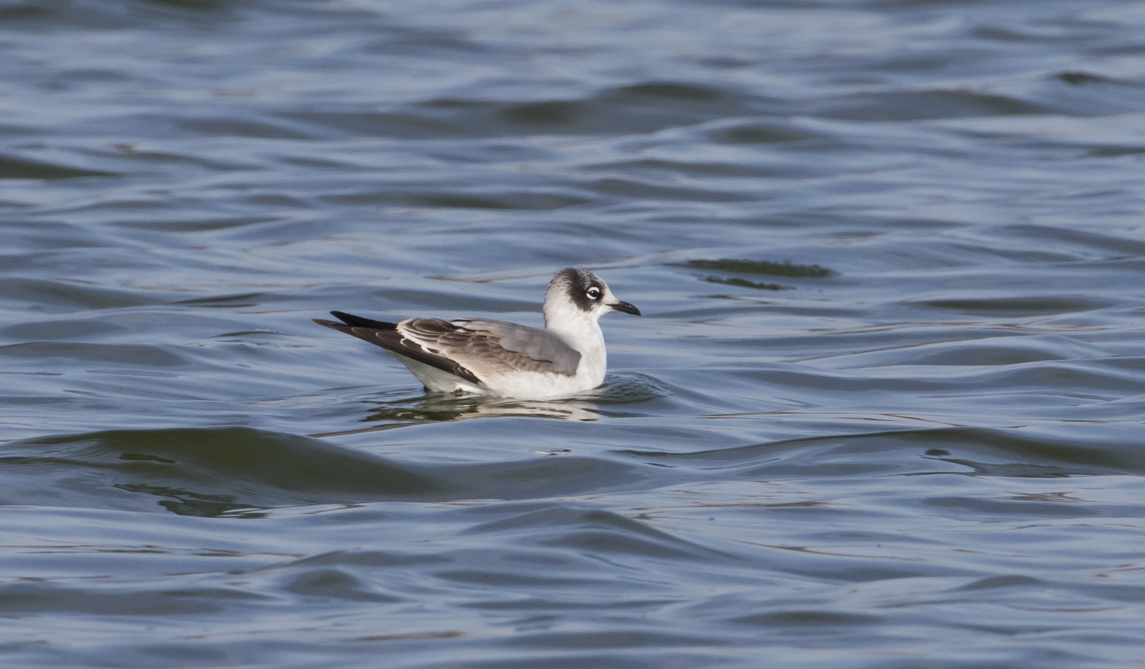
Franklin's Gull - Maryland
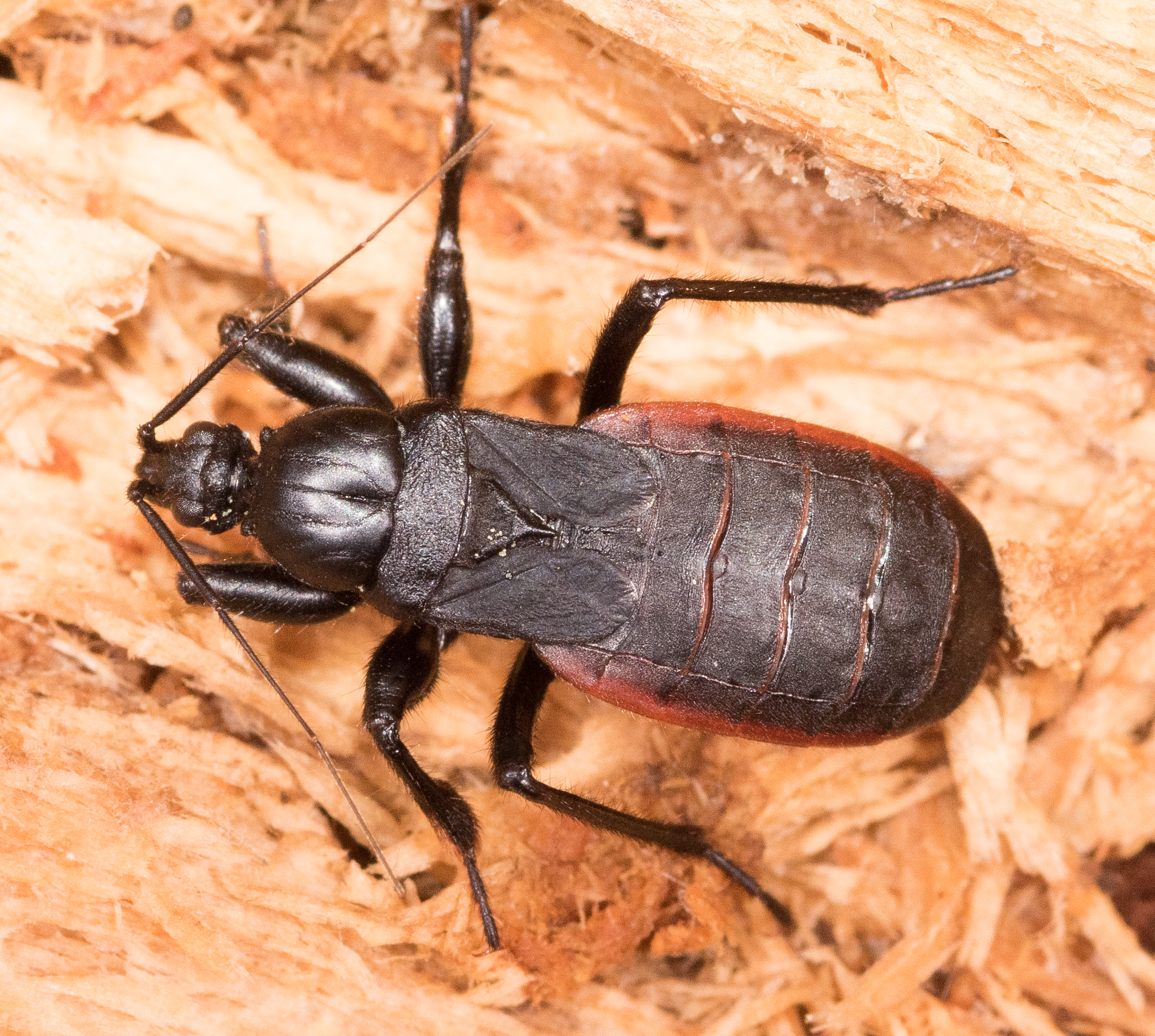
Black Corsair
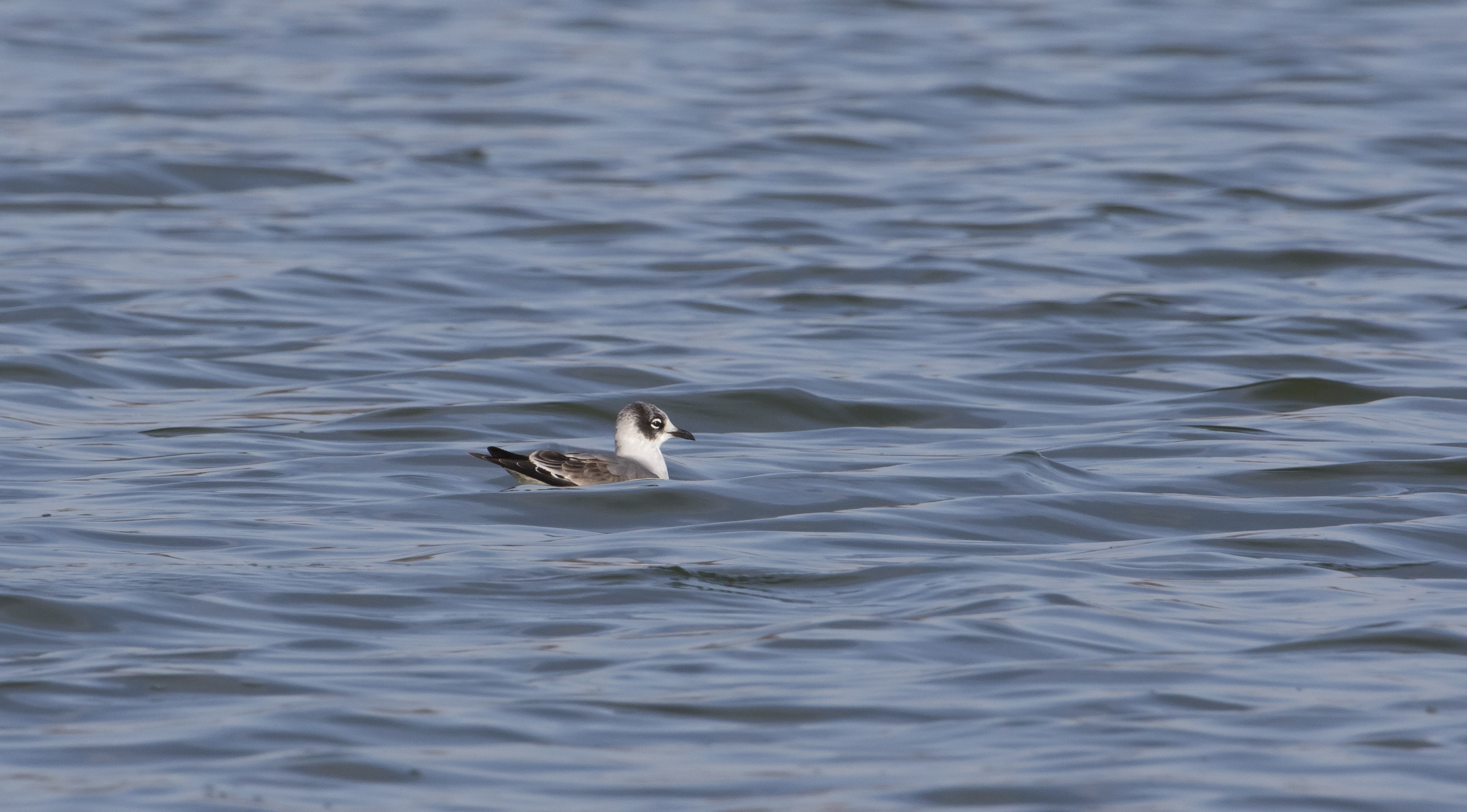
Franklin's Gull - Maryland
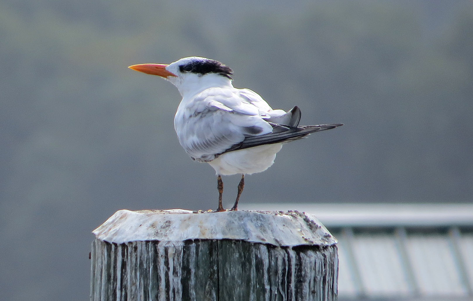
Royal Tern
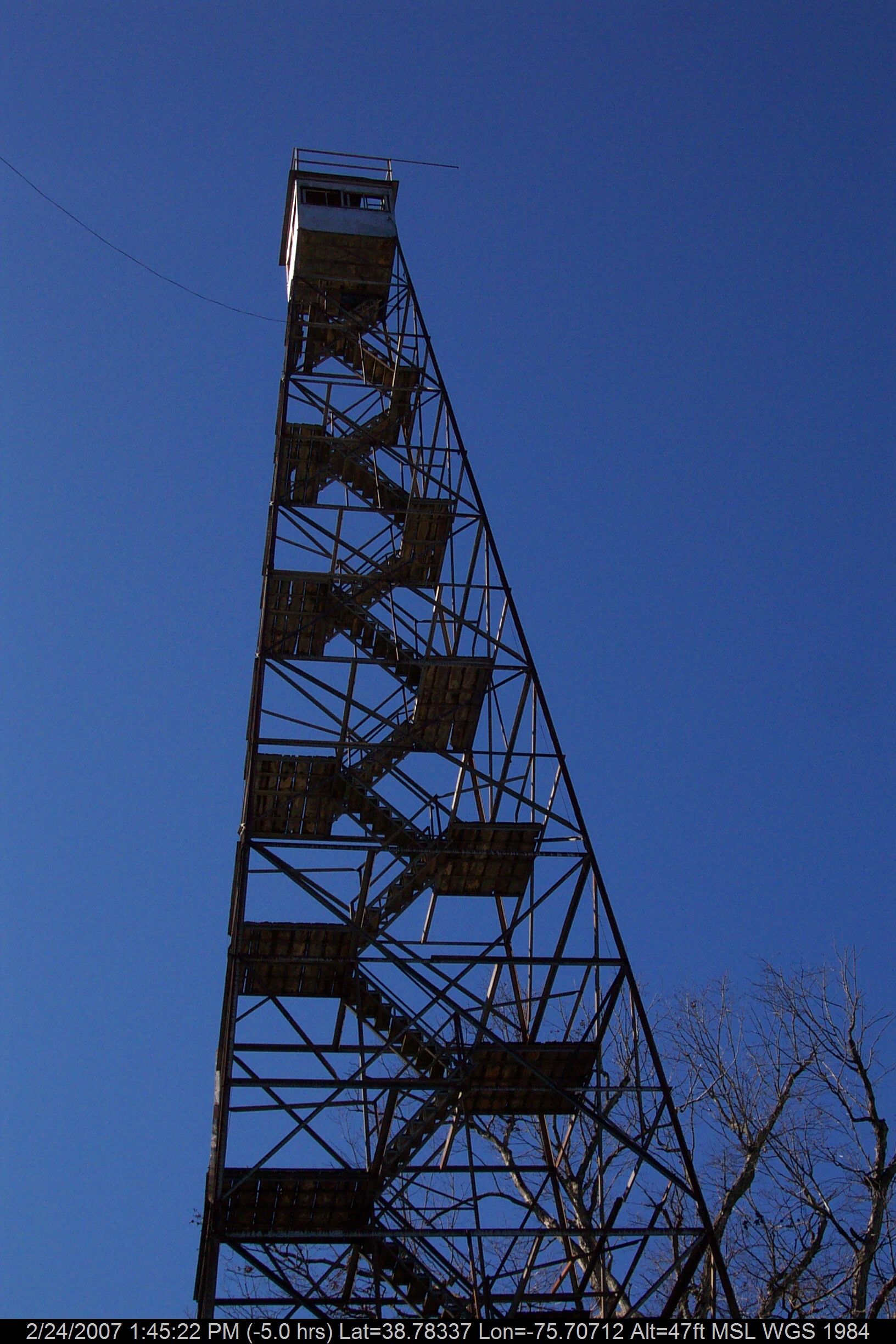
Stateline Marker Old Firetower

Abandoned DE Diner- rear view

Abandoned Diner in Delaware along US-13
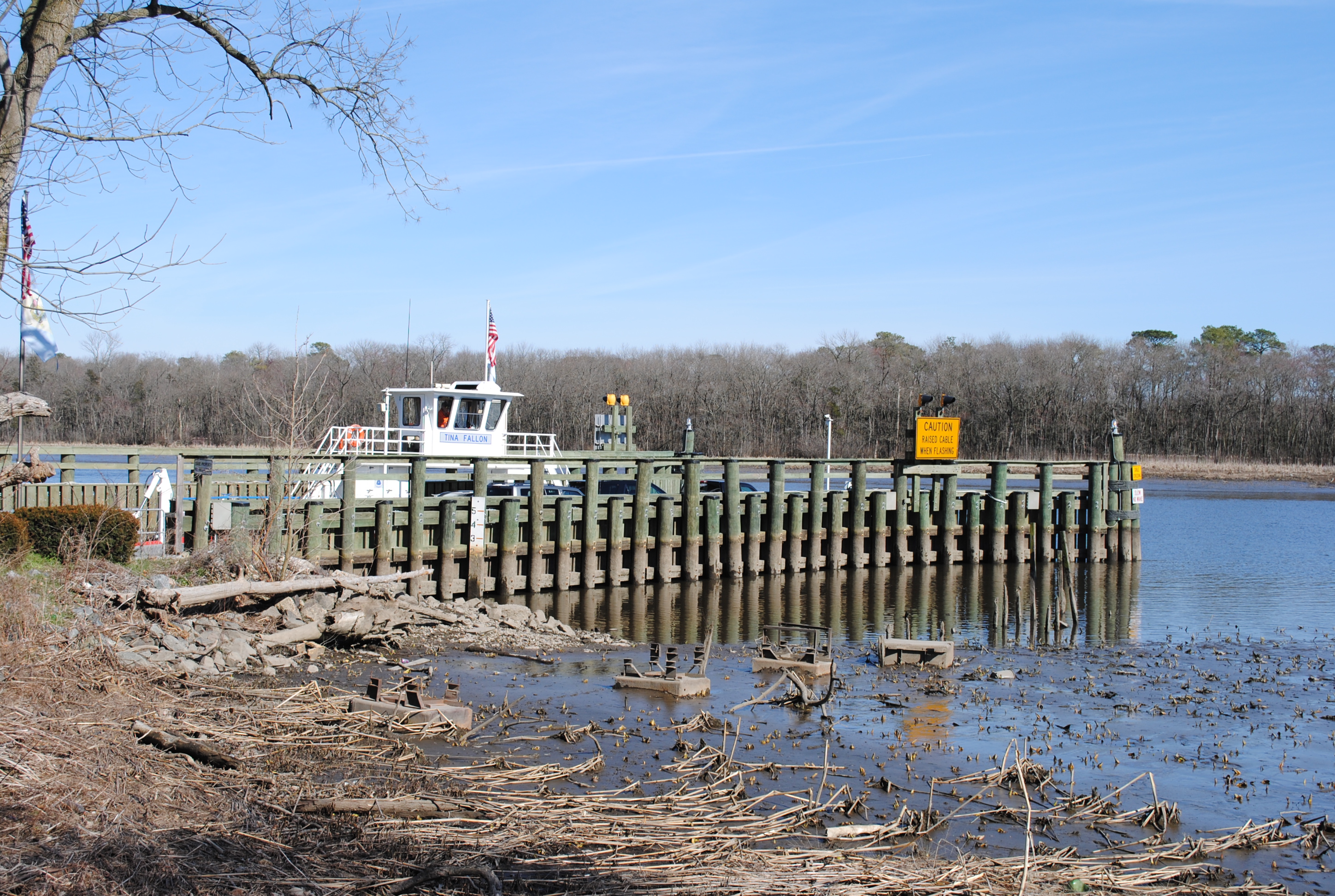
Woodland Ferry

Harriet Tubman Underground Railroad Byway

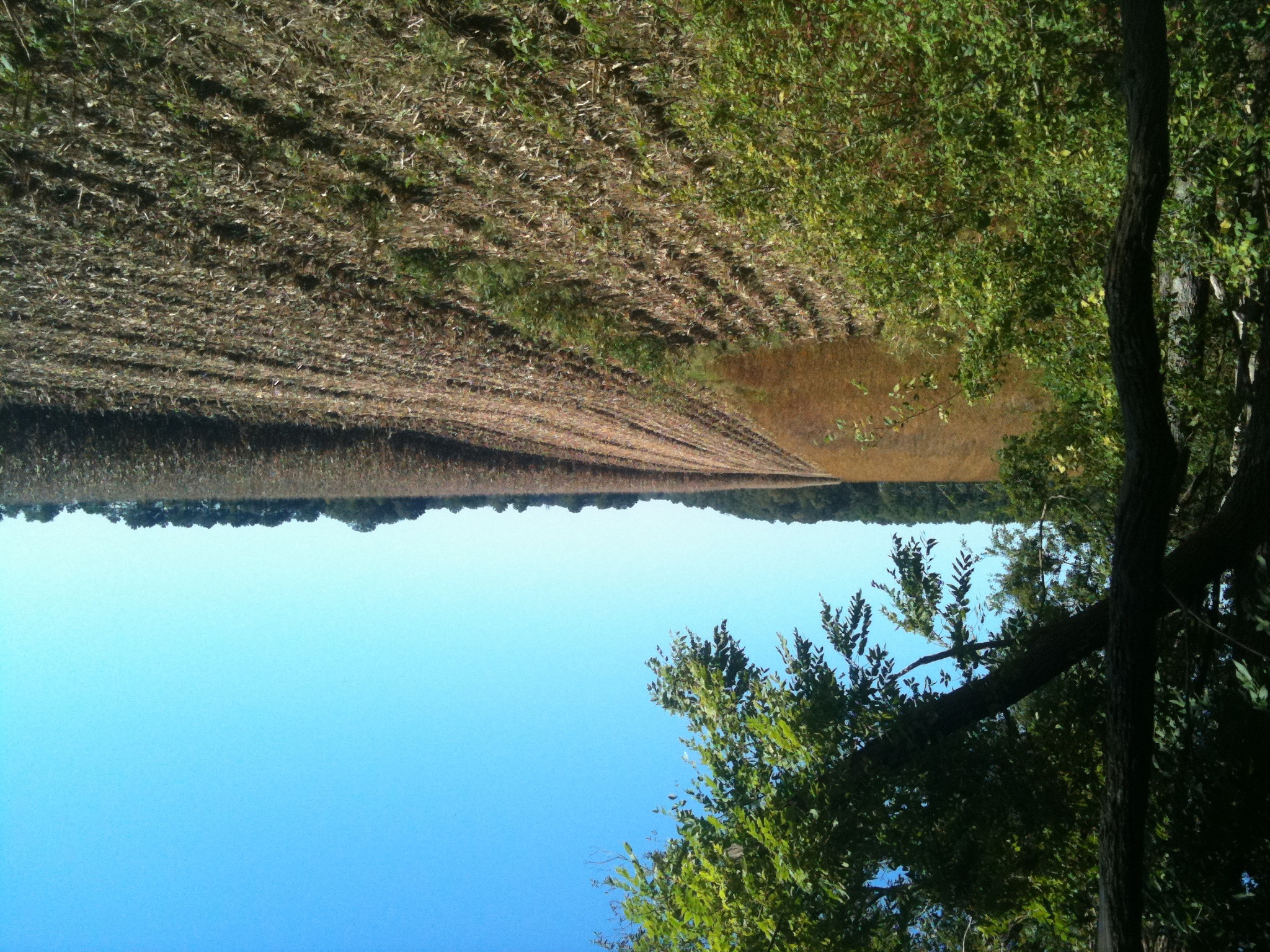
Phragmites Marsh And Blue Sky

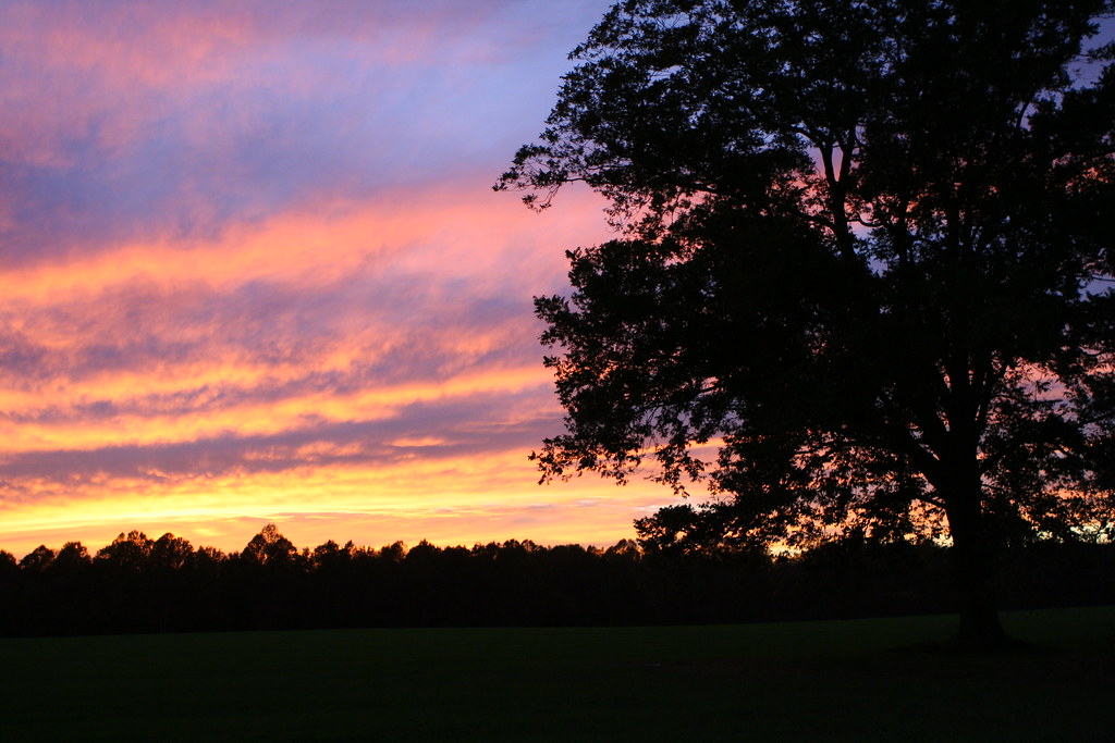
Autumn Sunset

"Crab cakes and football, that's what Maryland does!"

Hindwing with Ray

To Lakeview

Fields, Bridgeville, Delaware

Meditation Point

Choptank Marina In Fall

Galestown Millpond Dam
Marshy Hope
Levenger house, Preston, MD, important stop on the Underground Railroad
Fields, Bridgeville, Delaware

Meditation Point

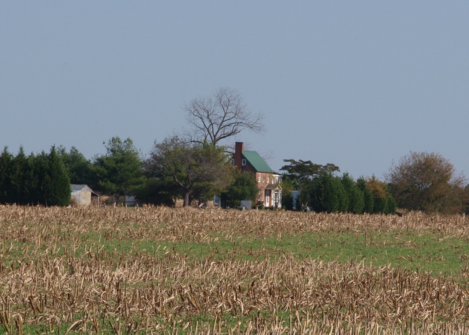
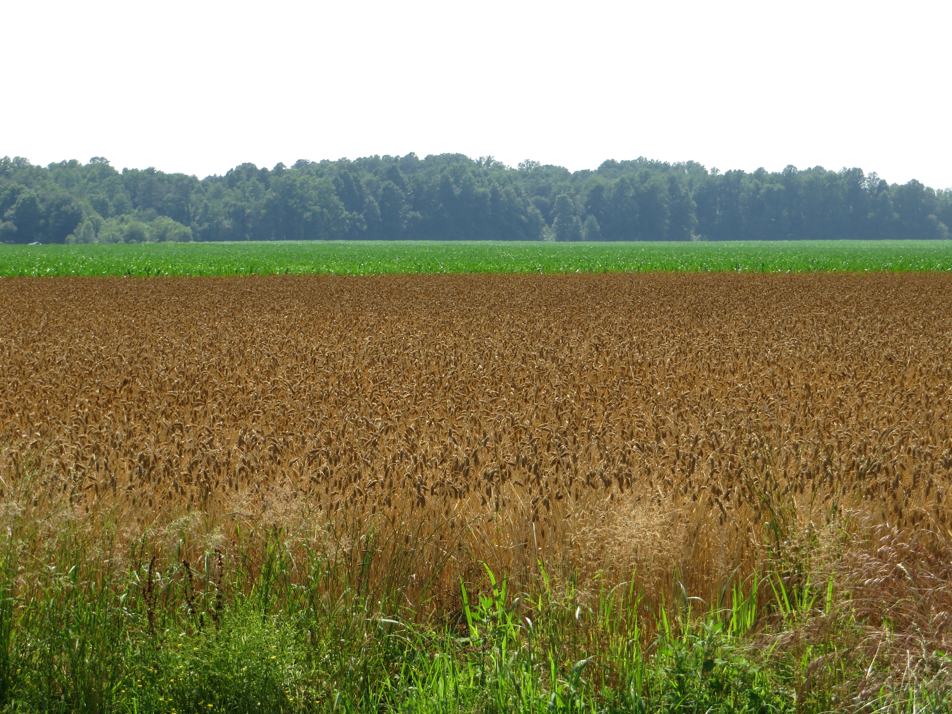
Farmland in Caroline County, Md.

IMG_0782 Dickcissel
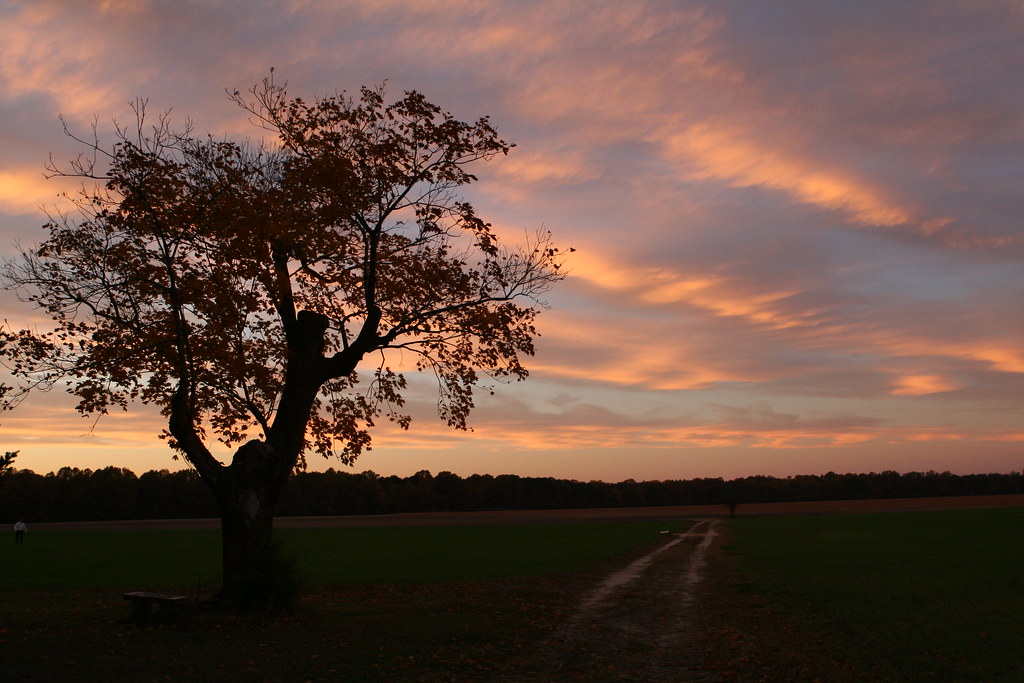
Twilight at the Farm
Twilight at the Farm
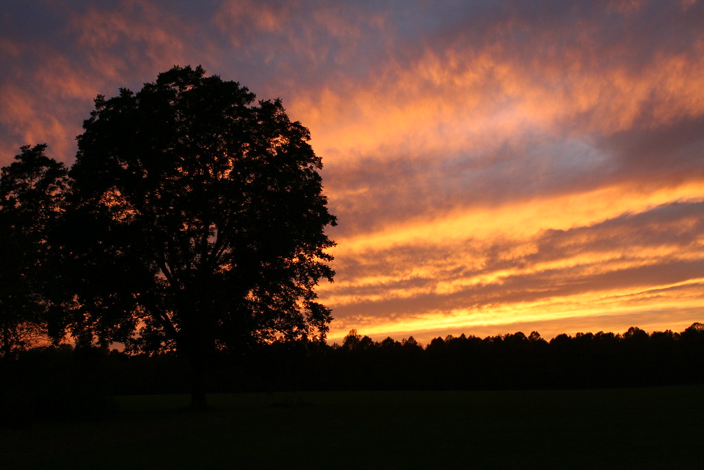
Twilight at the Farm
Woodland Ferry
Topographic Map of 5, Federalsburg, MD, USA
Find elevation by address:

Places in 5, Federalsburg, MD, USA:
Places near 5, Federalsburg, MD, USA:
Federalsburg
251 E Central Ave
201 Buena Vista Ave
Pepper Rd, Federalsburg, MD, USA
Pepper Road
12, Williamsburg
Hynson Rd, Federalsburg, MD, USA
3751 Clagg Rd
Dion Rd, Denton, MD, USA
5215 Rd 560a
Briarhook Rd, Seaford, DE, USA
Seashore Hwy, Greenwood, DE, USA
Hurlock Elwood Rd, Hurlock, MD, USA
Greenwood Rd, Denton, MD, USA
Owls Nest Rd, Seaford, DE, USA
Preston
Mill Creek Ln, Denton, MD, USA
24535 Canninghouse Alley
Preston, MD, USA
4, Preston
Recent Searches:
- Elevation of Côte-des-Neiges, Montreal, QC H4A 3J6, Canada
- Elevation of Bobcat Dr, Helena, MT, USA
- Elevation of Zu den Ihlowbergen, Althüttendorf, Germany
- Elevation of Badaber, Peshawar, Khyber Pakhtunkhwa, Pakistan
- Elevation of SE Heron Loop, Lincoln City, OR, USA
- Elevation of Slanický ostrov, 01 Námestovo, Slovakia
- Elevation of Spaceport America, Co Rd A, Truth or Consequences, NM, USA
- Elevation of Warwick, RI, USA
- Elevation of Fern Rd, Whitmore, CA, USA
- Elevation of 62 Abbey St, Marshfield, MA, USA